
eBooks & eLessons

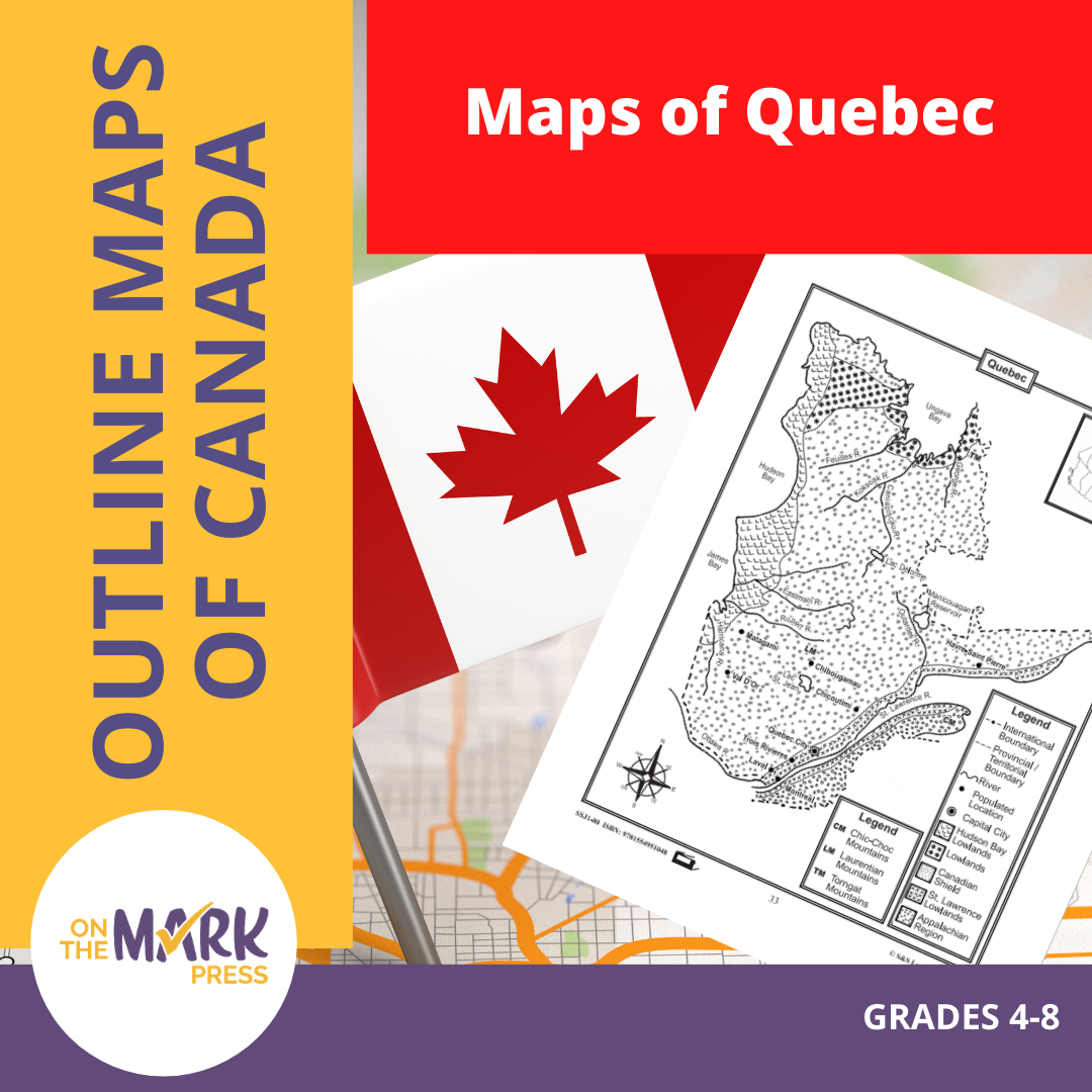

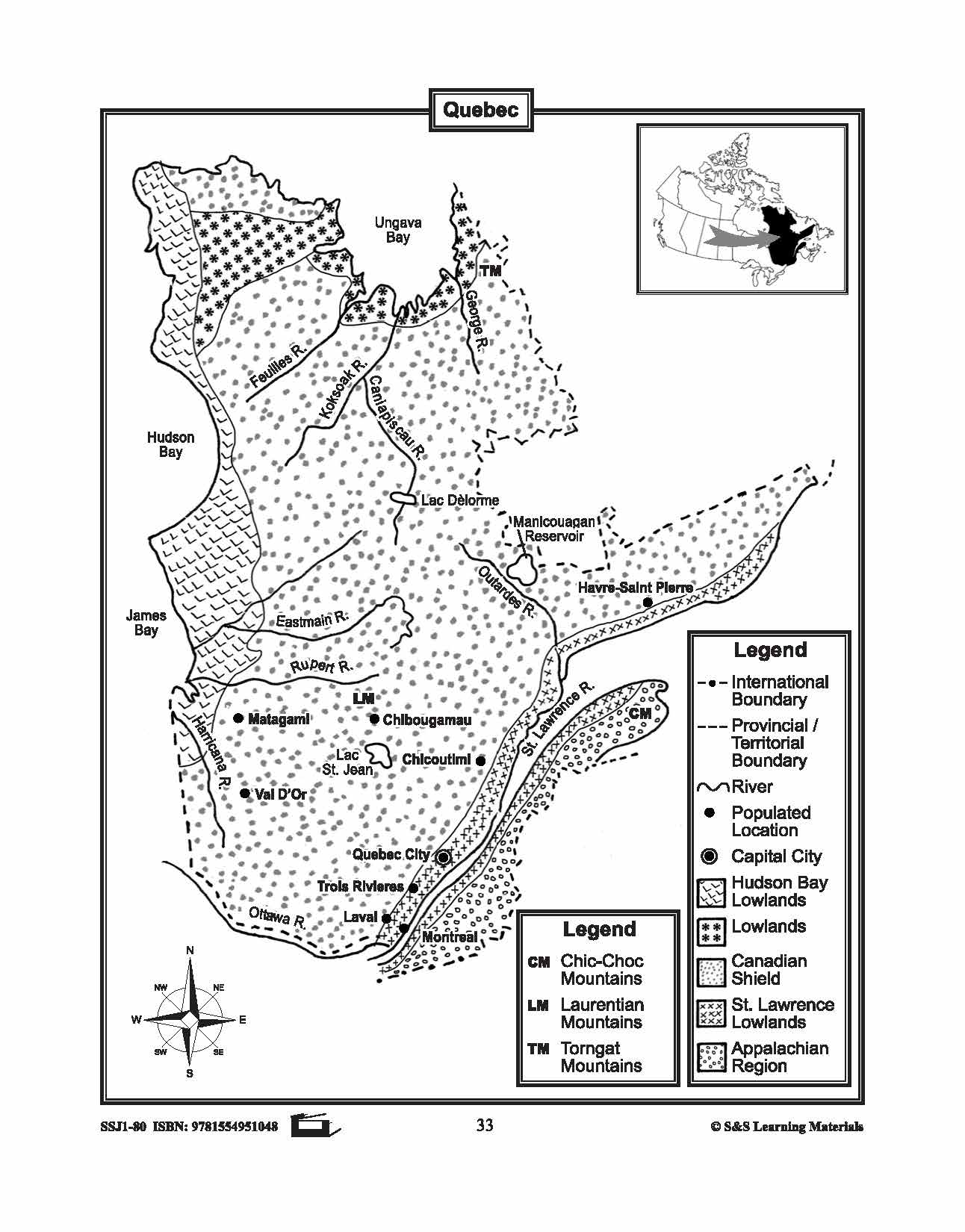


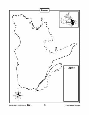
Maps of Quebec Grades 4-8
$3.45 CAD
The maps will help students learn about Quebec and its international and provincial/territorial boundary, rivers, landforms, the capital city, and other cities. 2 pages
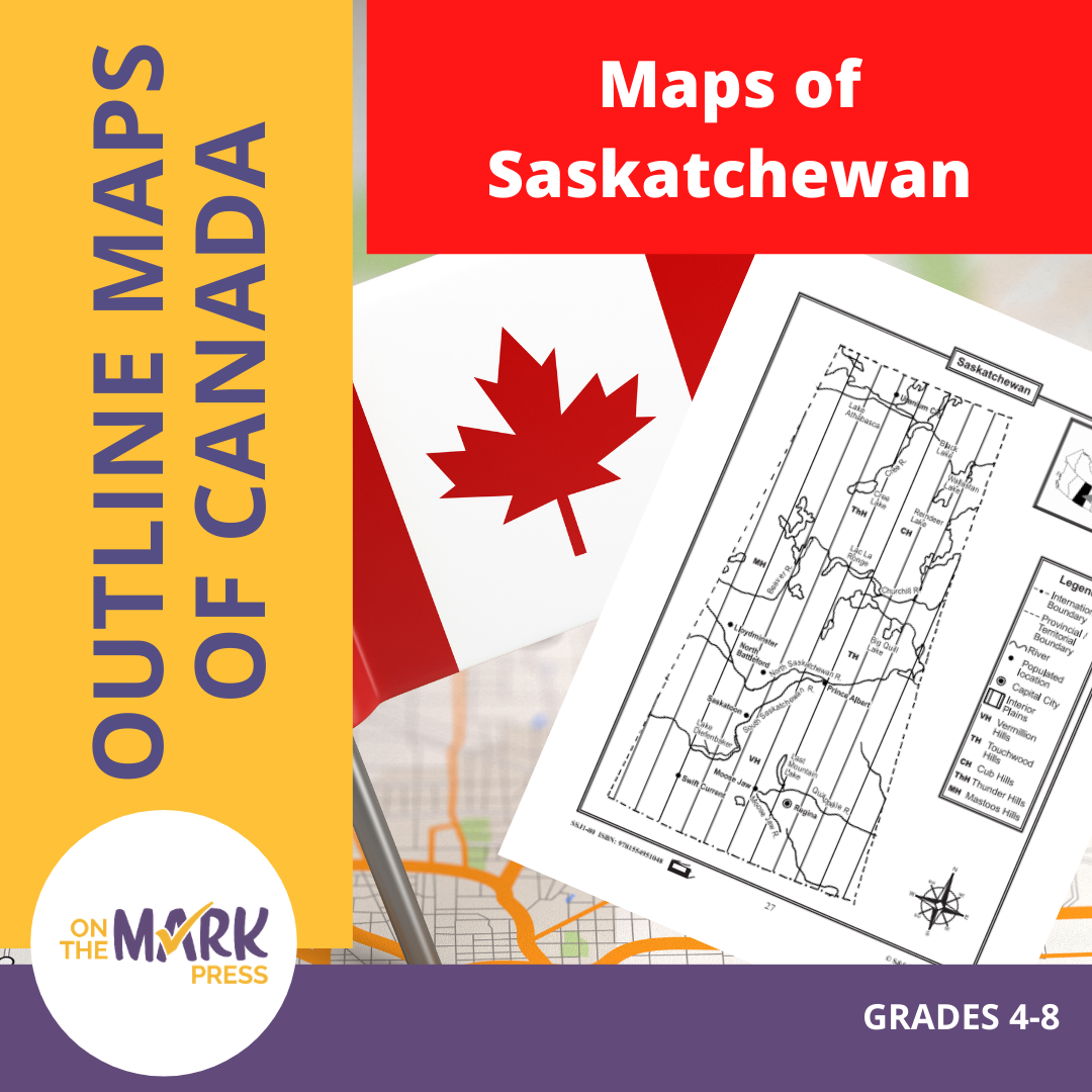


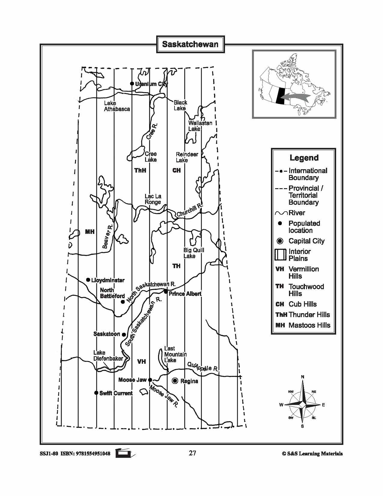


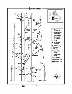
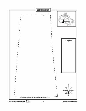
Maps of Saskatchewan Grades 4-8
$3.45 CAD
The maps will help students learn about Saskatchewan and its international and provincial/territorial boundary, rivers, landforms, the capital city, and other cities. 2 pages


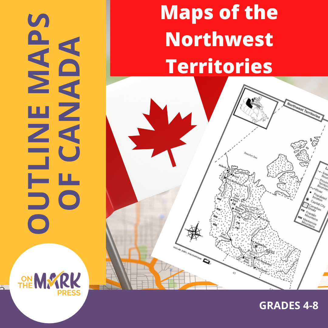

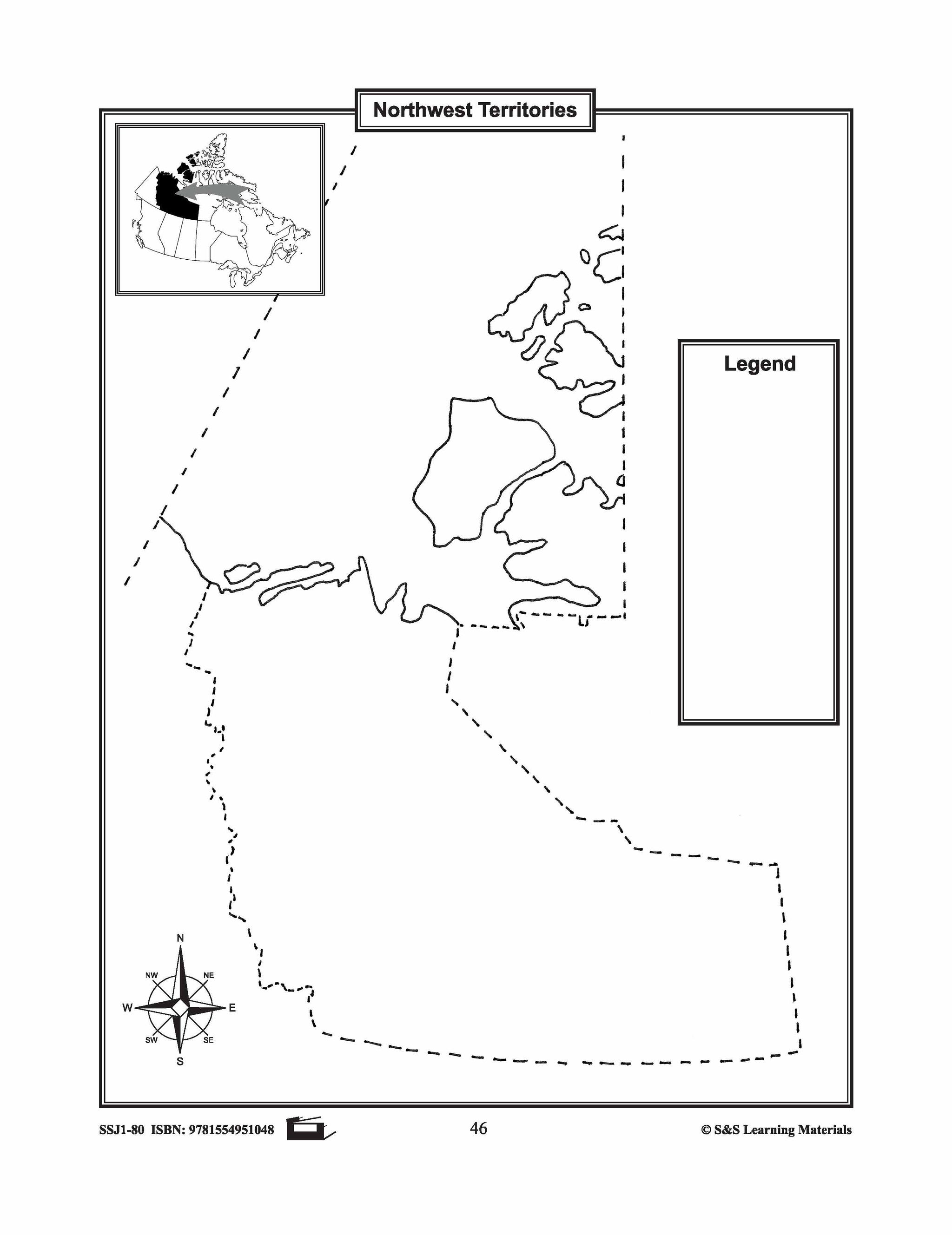
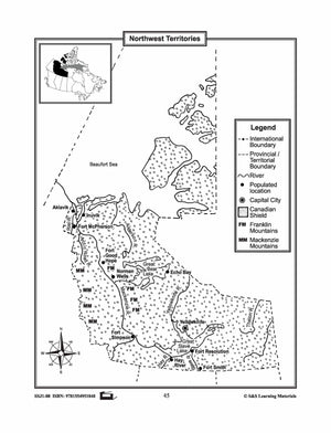
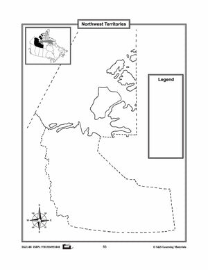
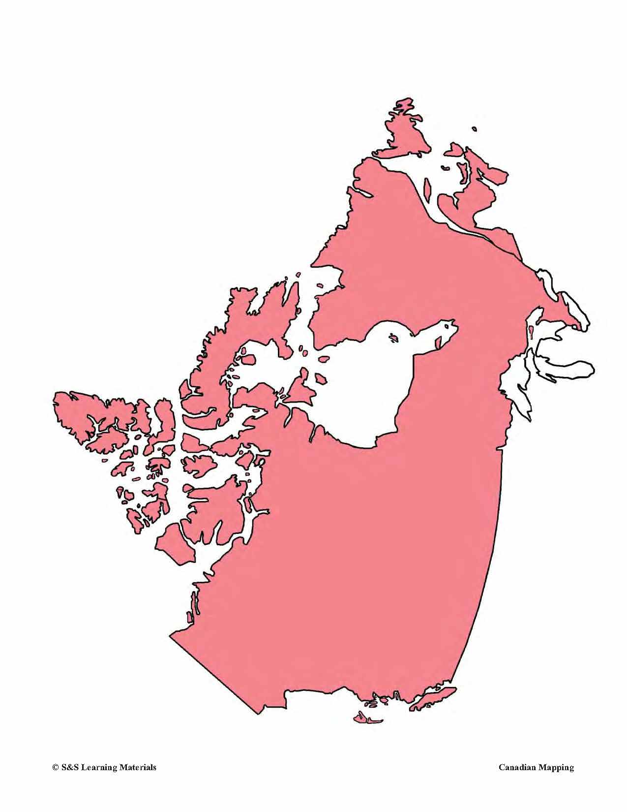
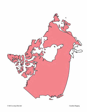
Maps of the Northwest Territories Grades 4-8
$3.45 CAD
The maps will help students learn about the Northwest Territories and its provincial/territorial boundary, rivers, landforms, the capital city, and other cities. 2 pages


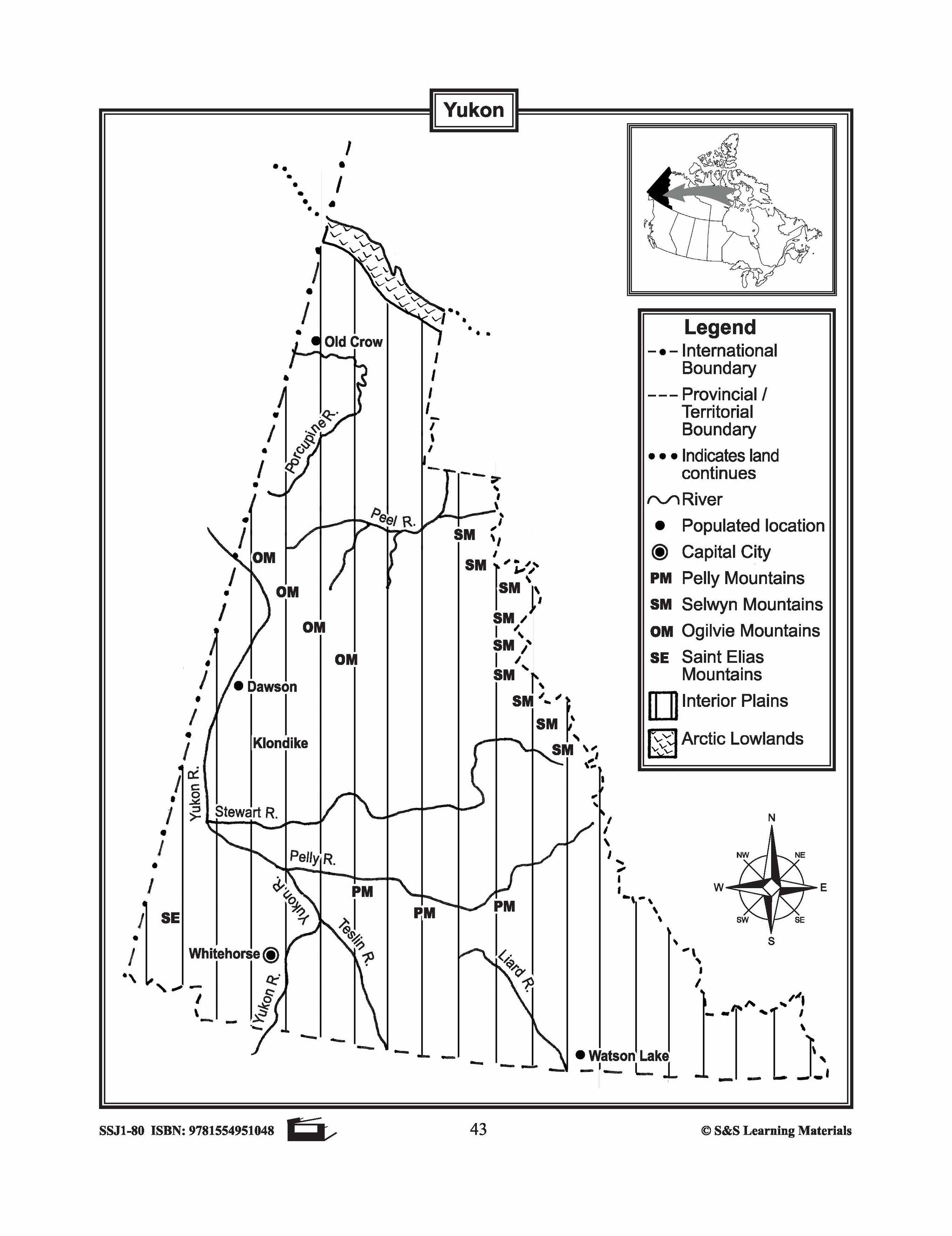
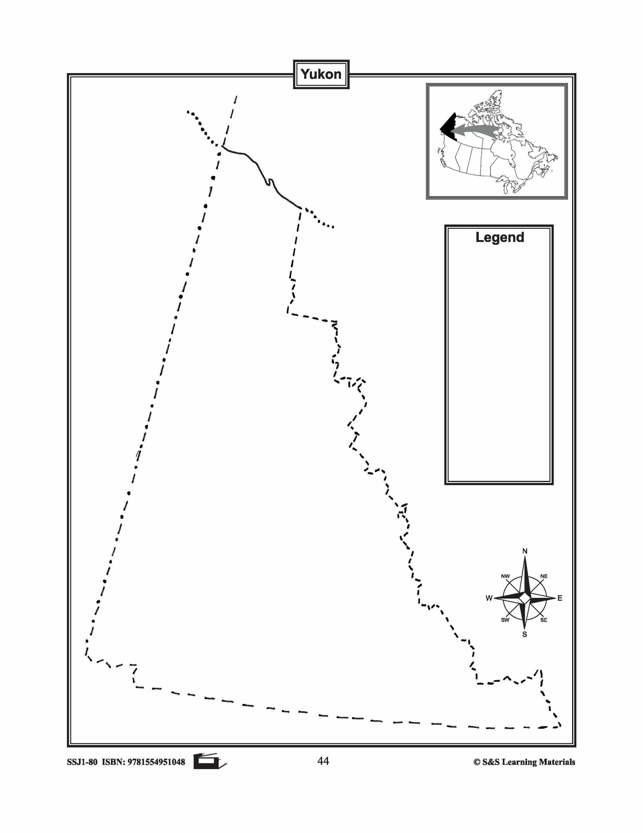
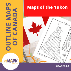
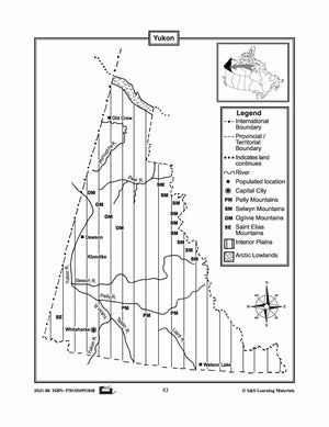
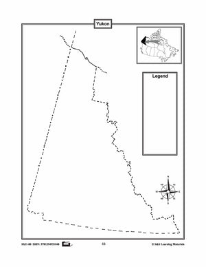
Maps of the Yukon Grades 4-8
$3.45 CAD
The maps will help students learn about the Yukon and its international and provincial/territorial boundary, rivers, landforms, the capital city, and other cities. 2 pages


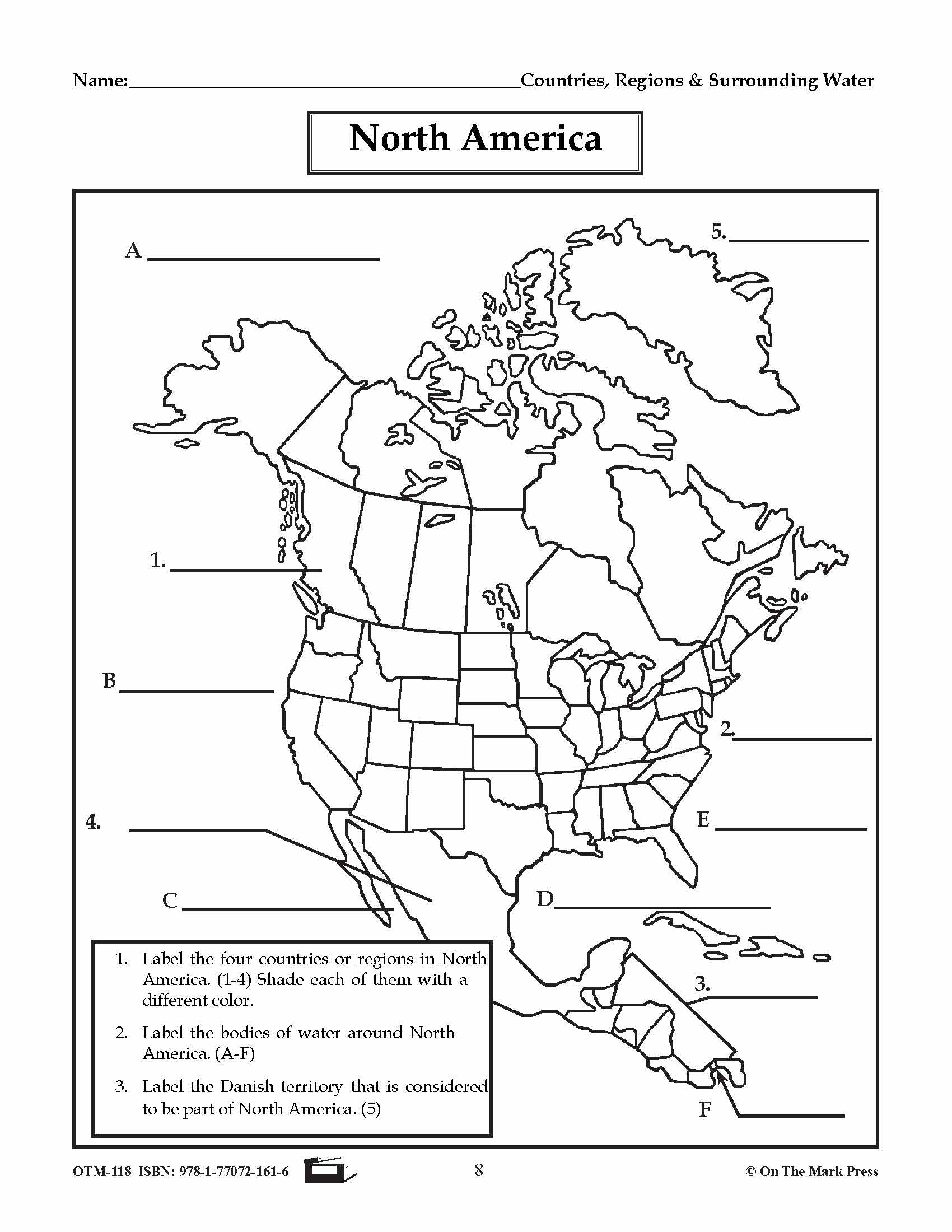

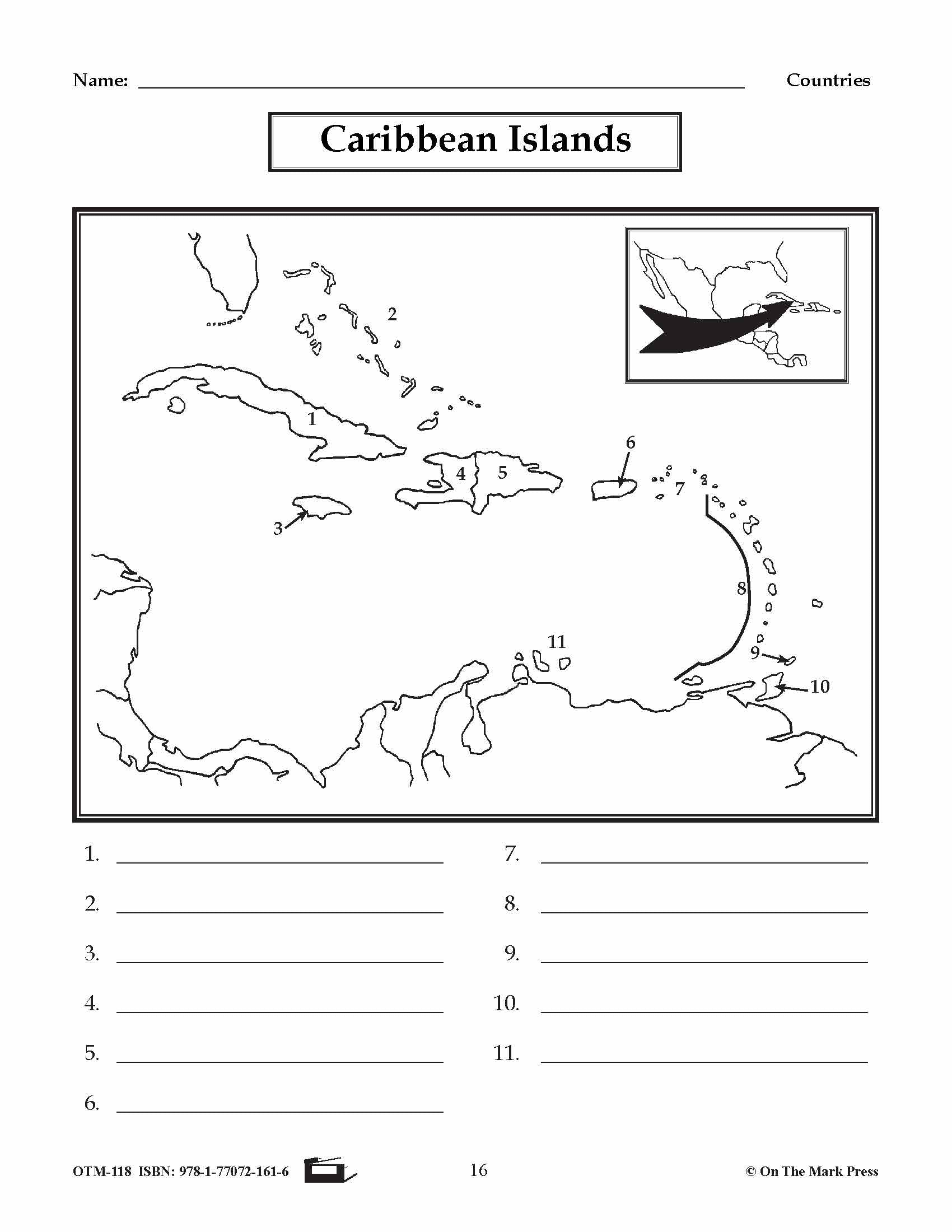
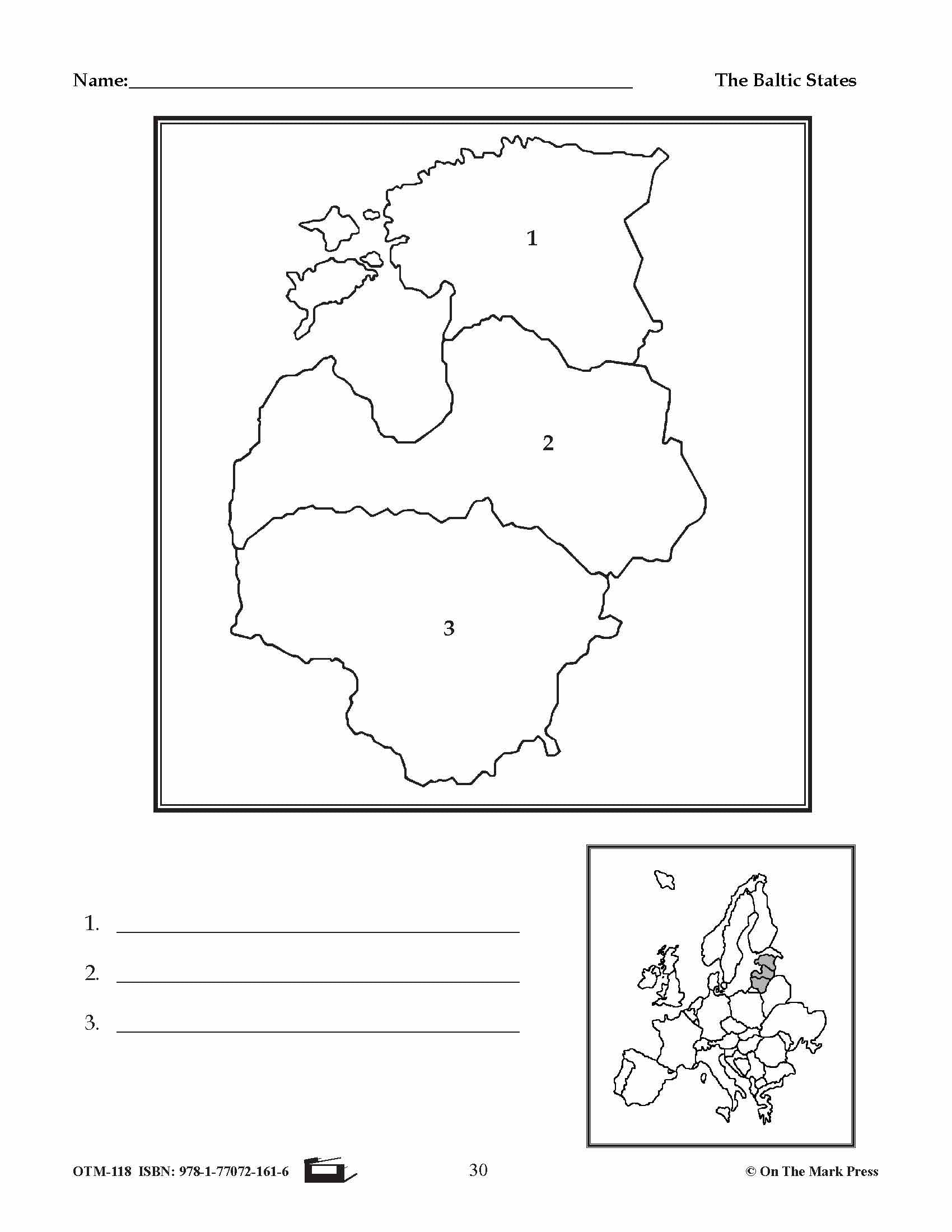
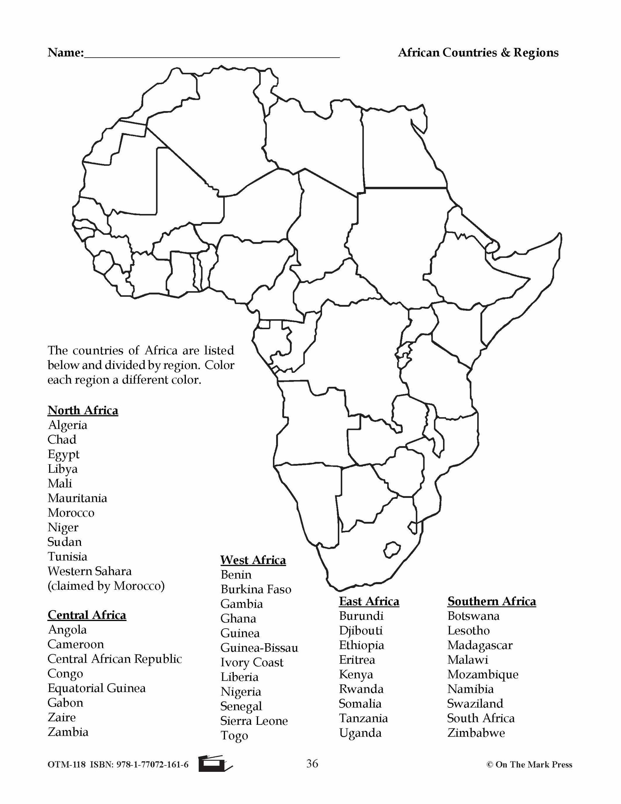
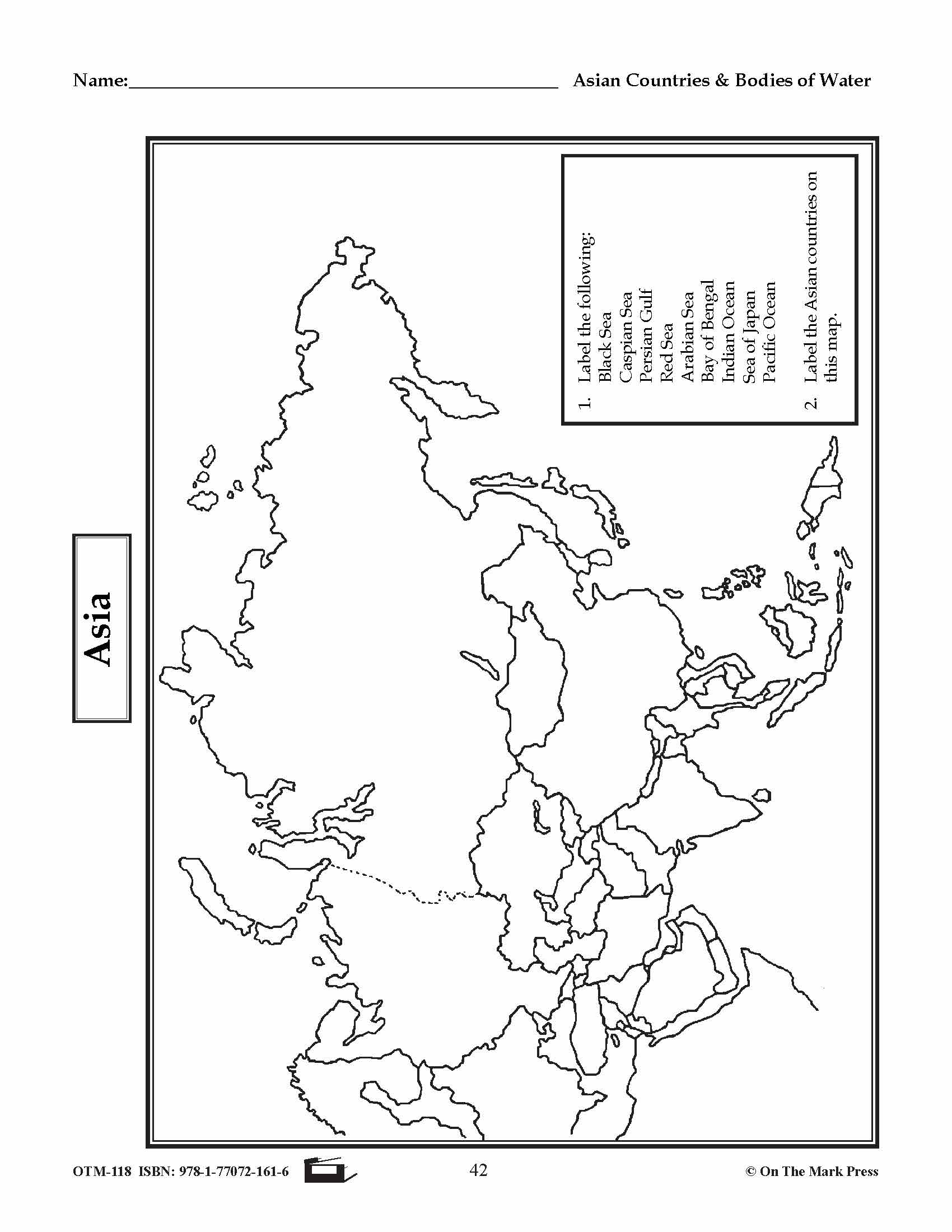

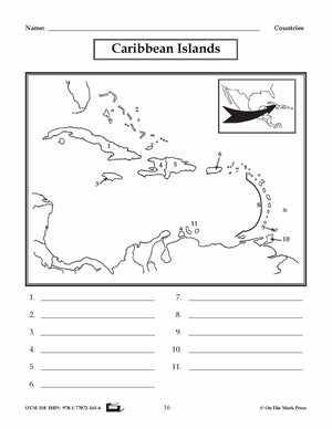
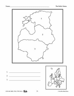
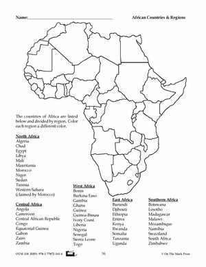


Outline Maps of the World Grades 1-8
$21.99 CAD
Over 50 Reproducible Maps! This resource contains up-to-date maps of countries and regions of the world. It is designed to supplement geography studies. Includes illustrations of world continents, countries, and bodies of water. 64 pages.
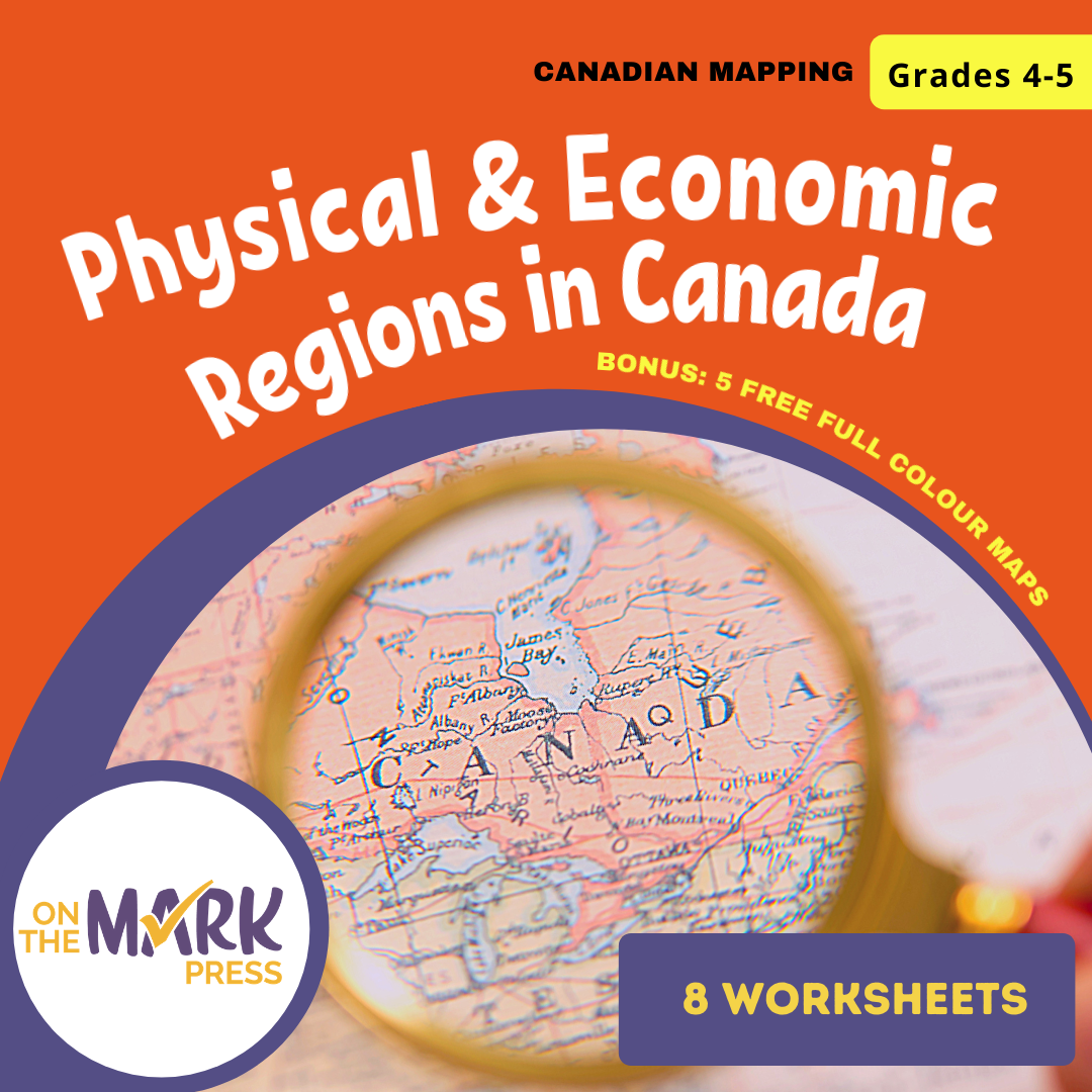


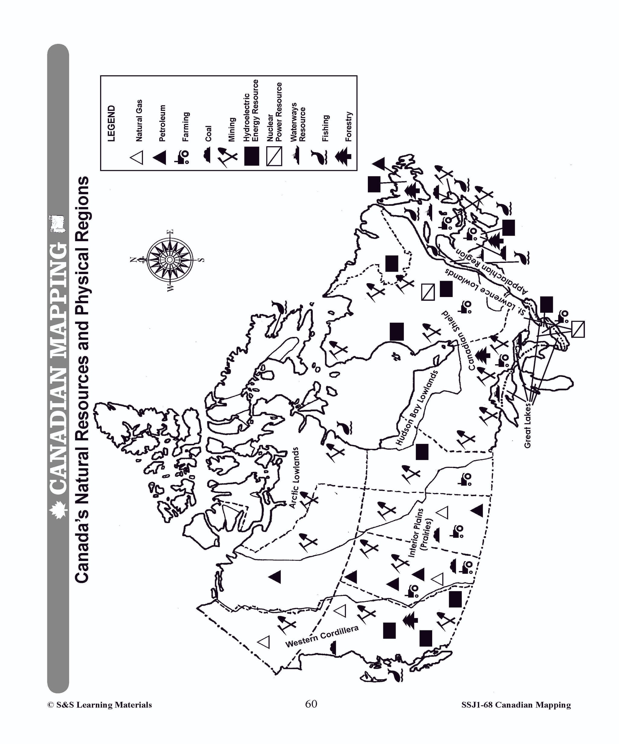
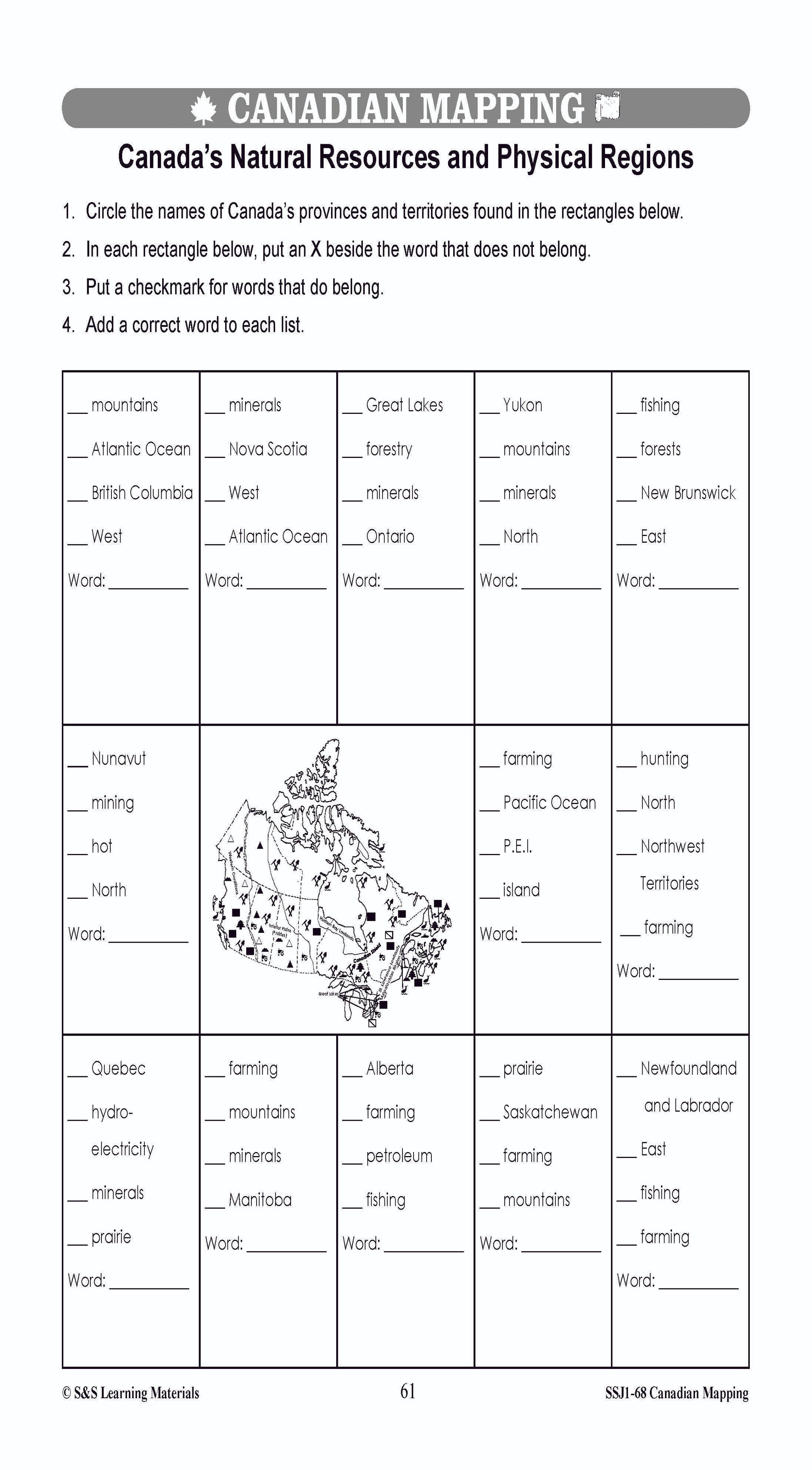
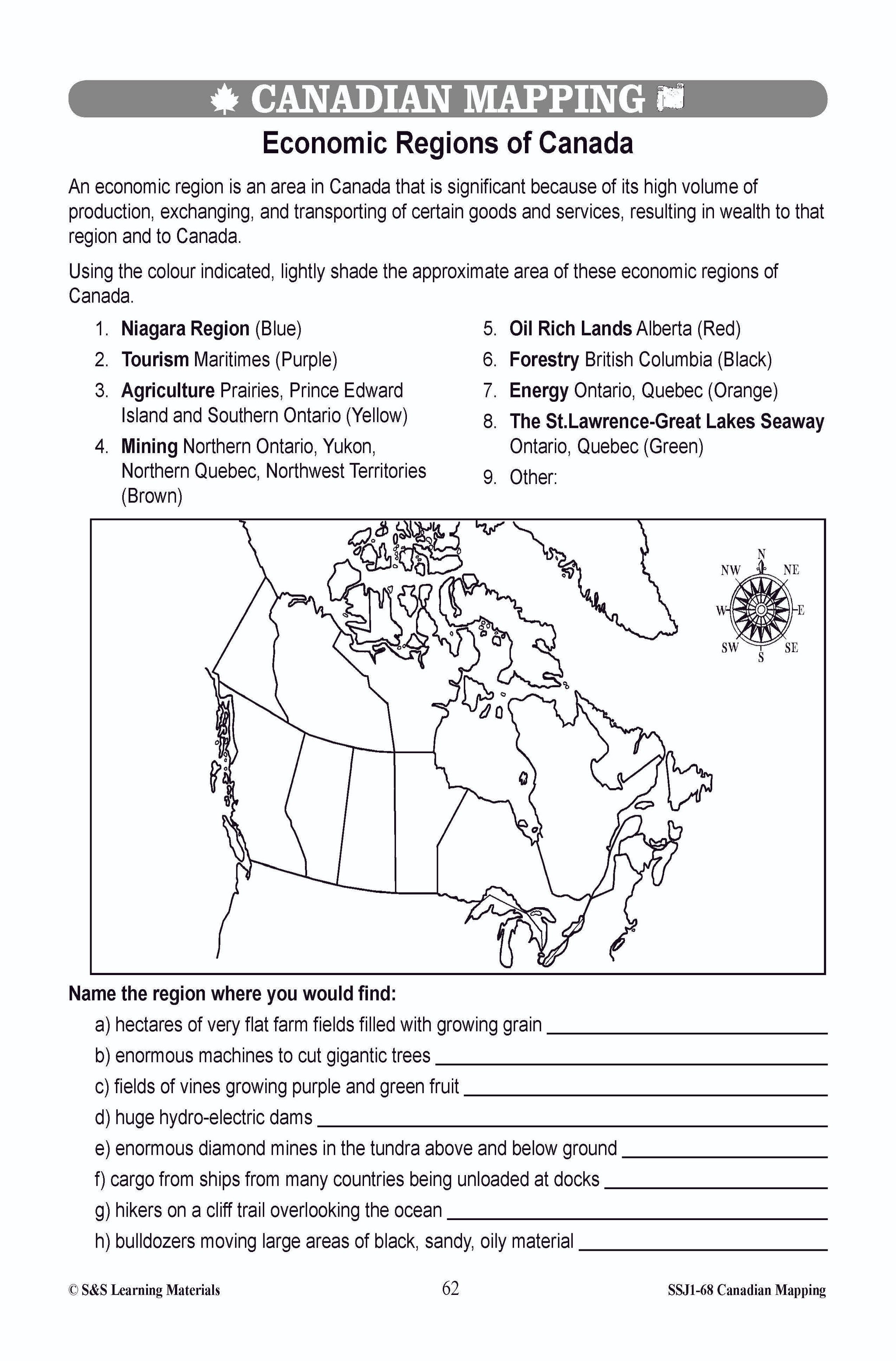
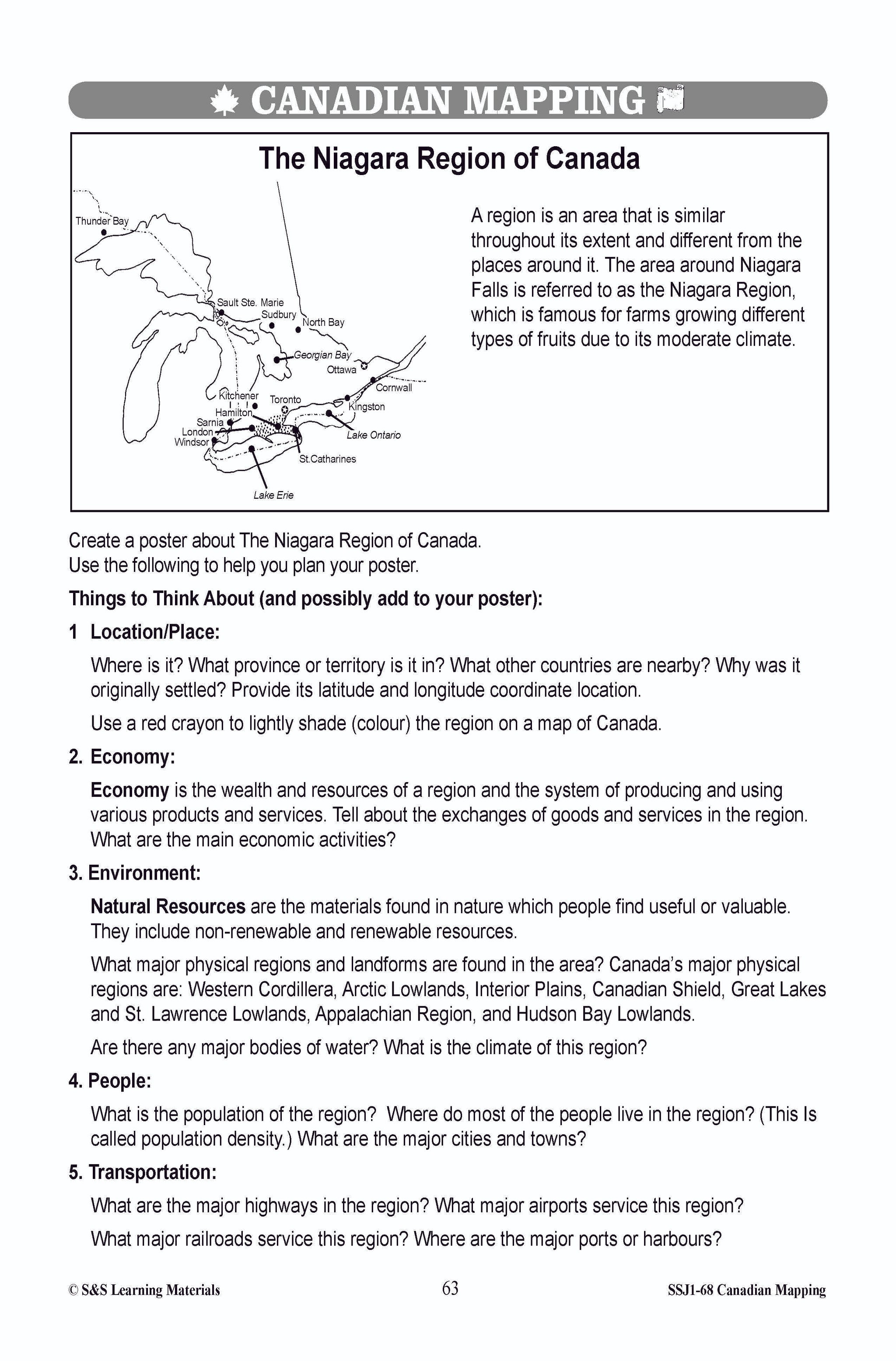
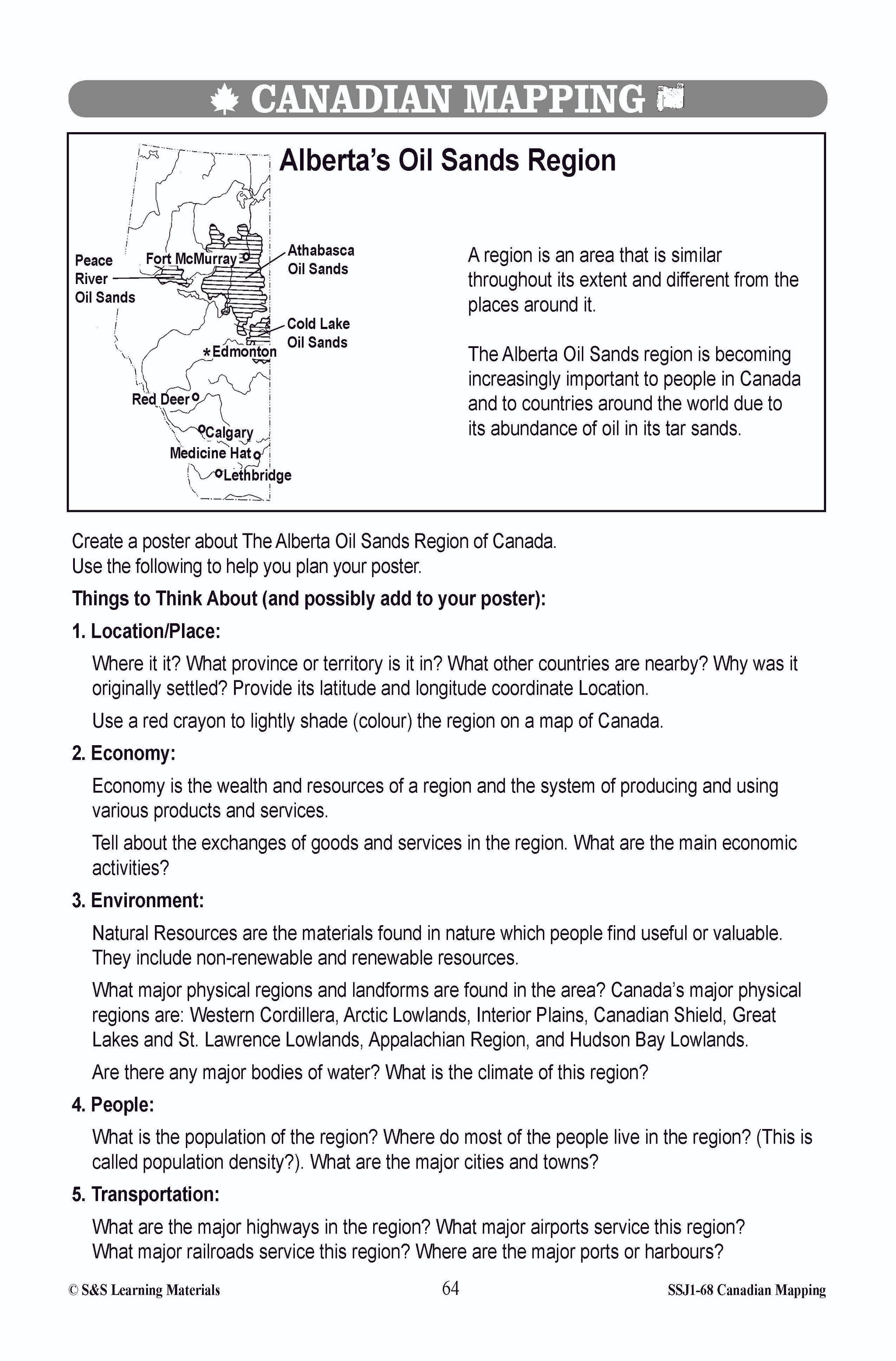
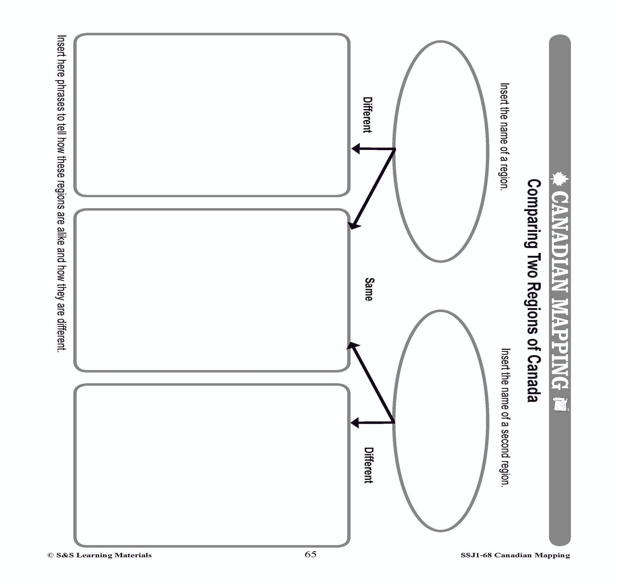
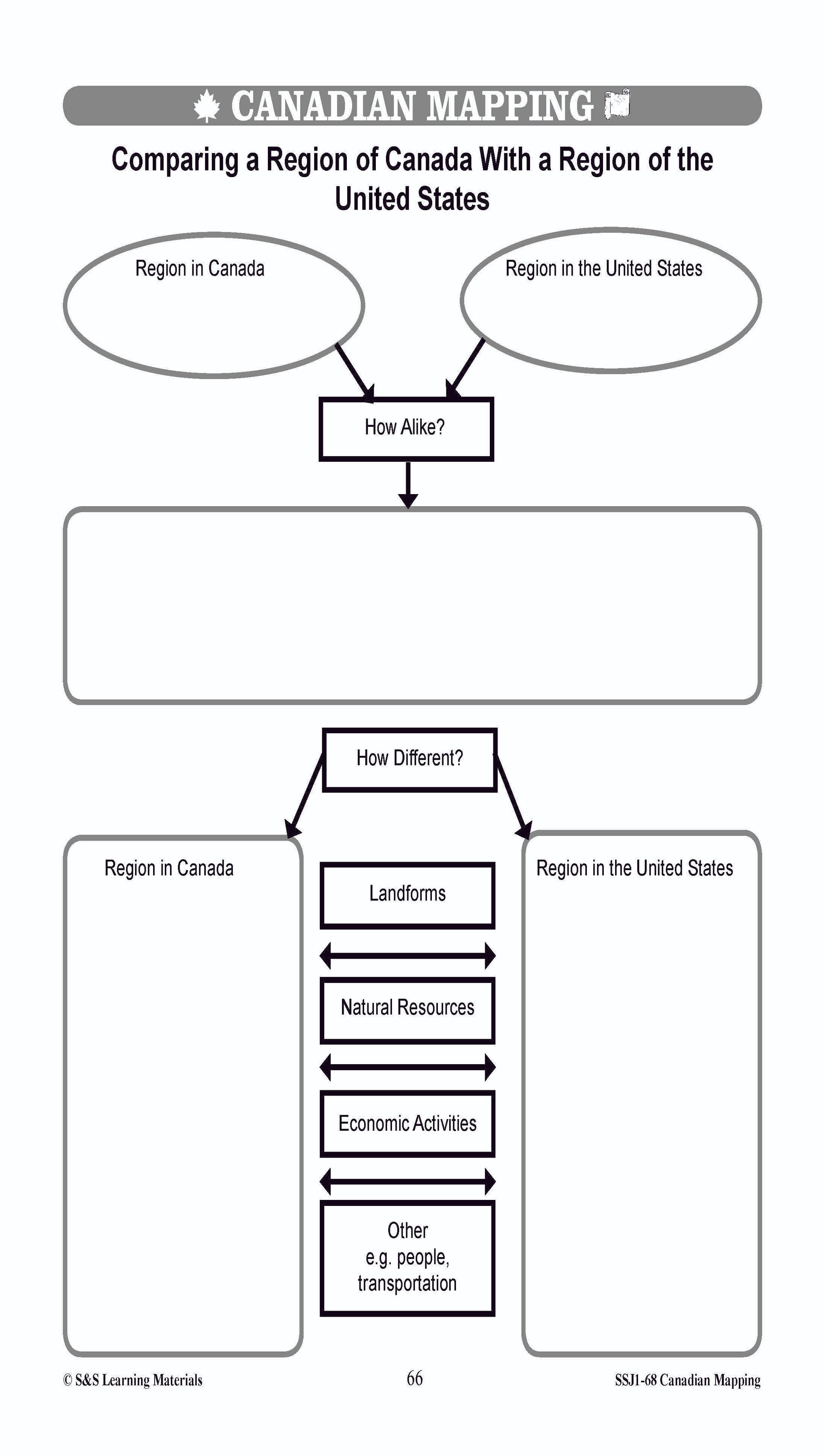


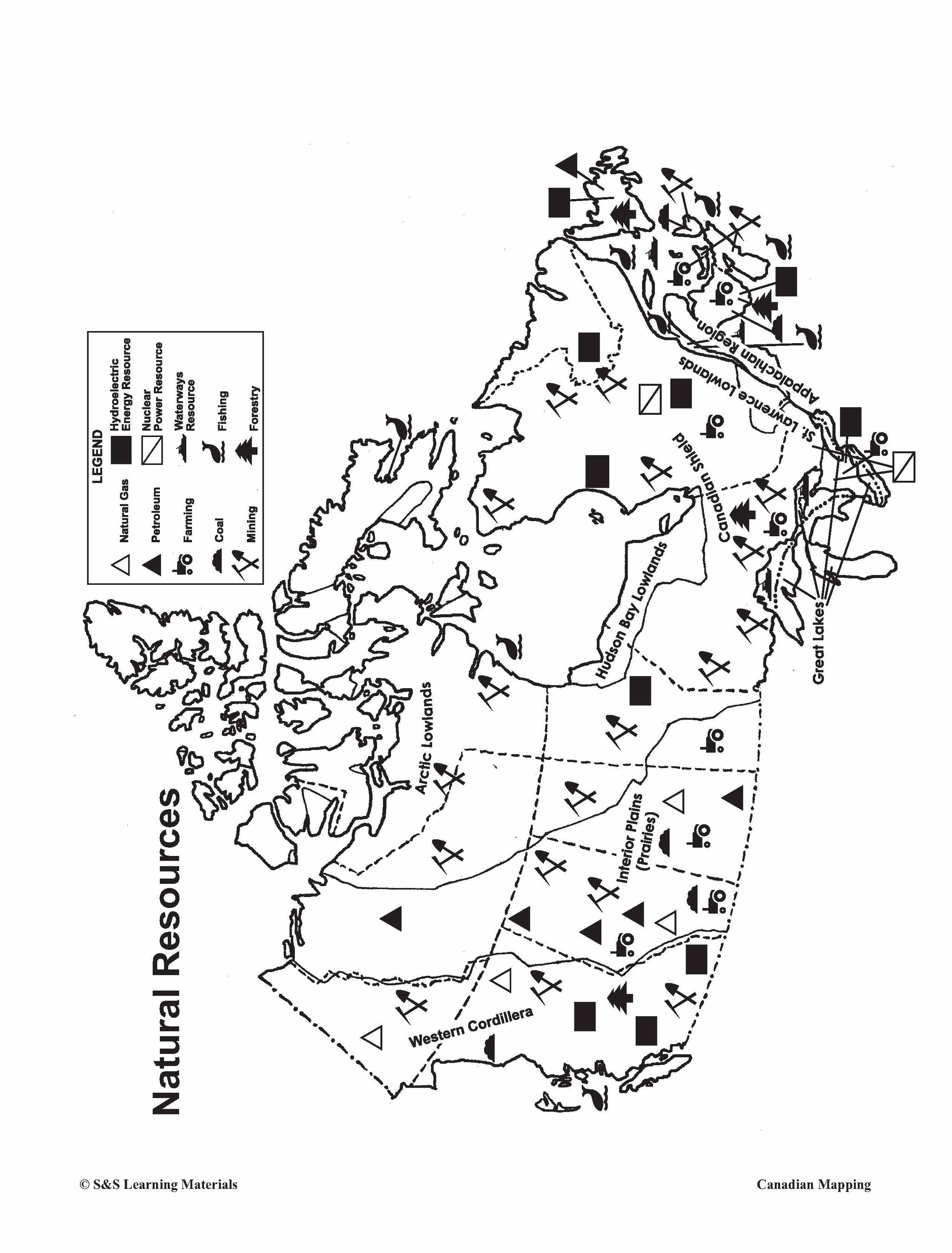

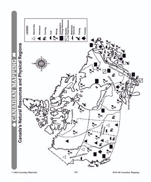
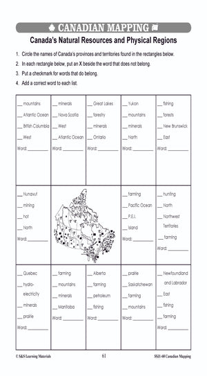
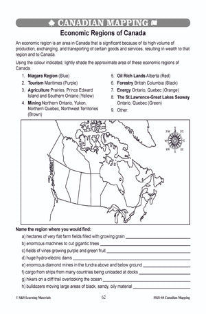
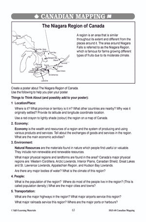
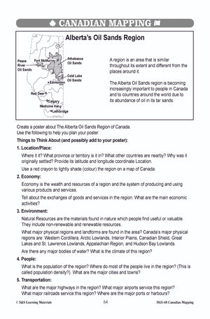
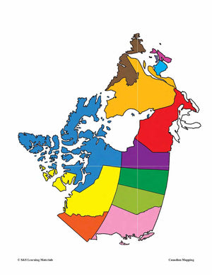
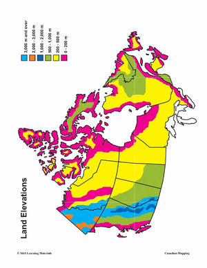

Physical & Economic Regions in Canada Worksheets Grades 4-5
$7.45 CAD
Students will learn about the physical and economic regions in Canada with the eight mapping worksheets. Teacher information on these topics: what a map is, types of maps, how to read a map, map indexes, scale, and geographic grids, hemispheres,...
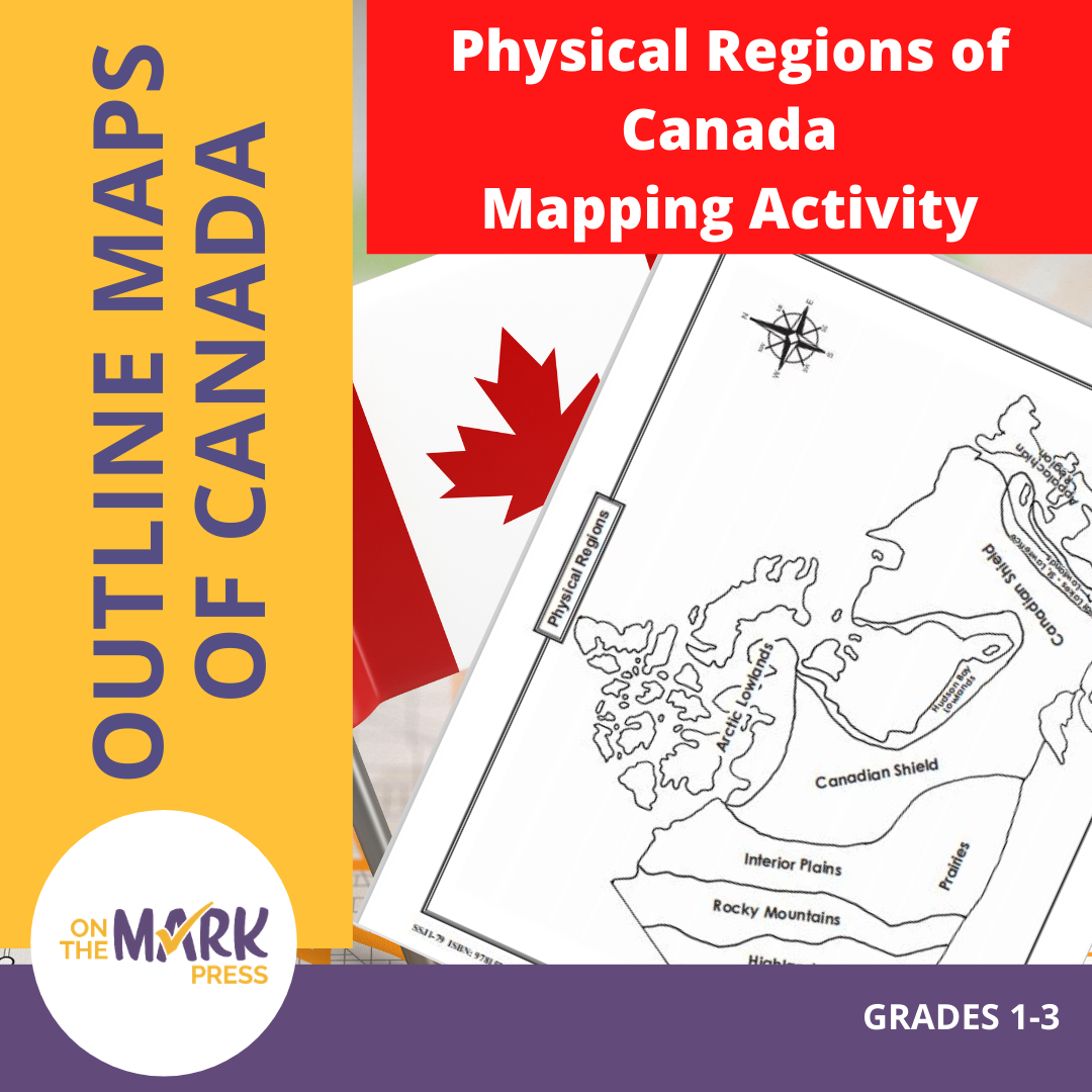


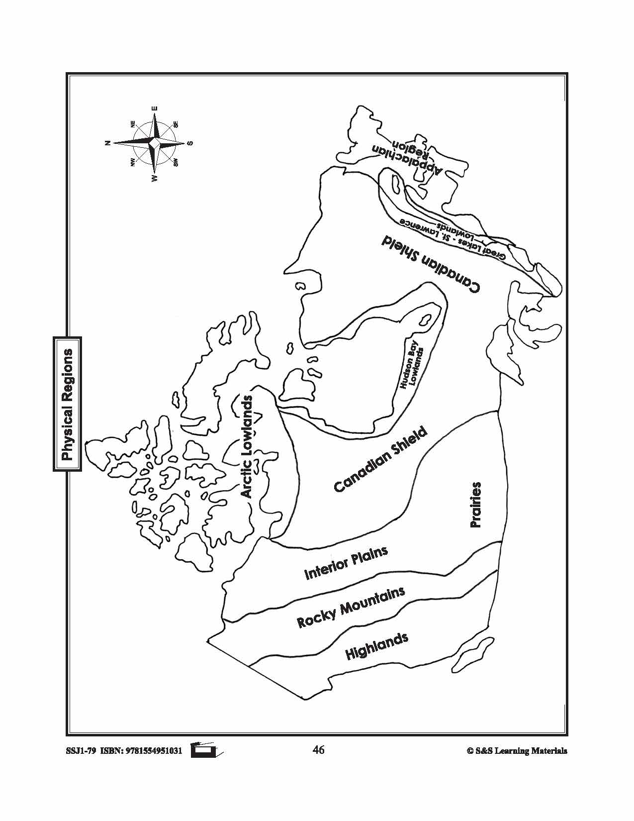
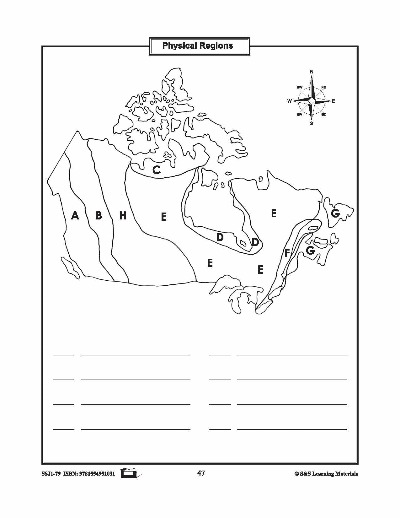


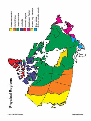
Physical Regions of Canada Mapping Activity Grades 1-3
$2.95 CAD
Students will label the physical regions of Canada. 3 pages.
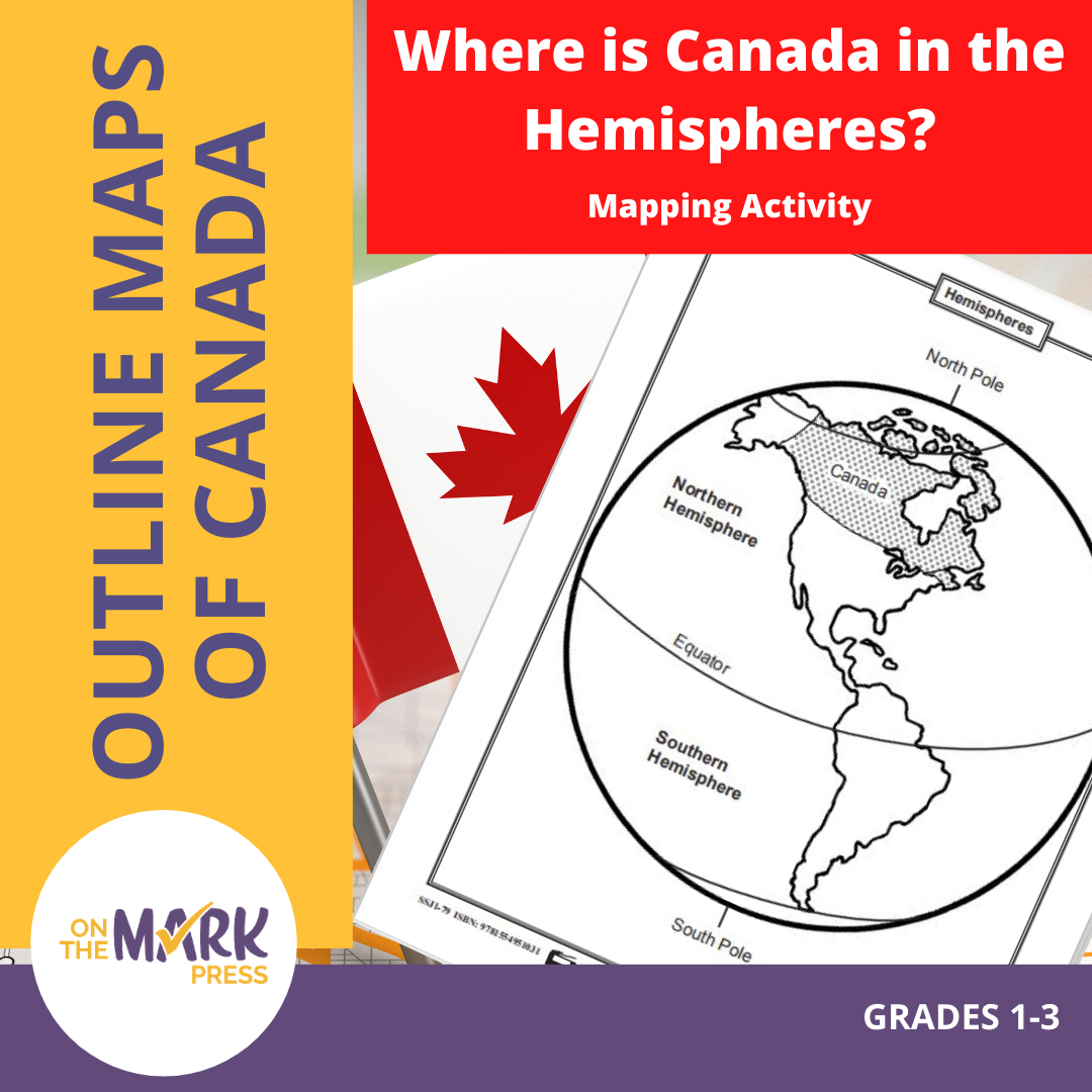


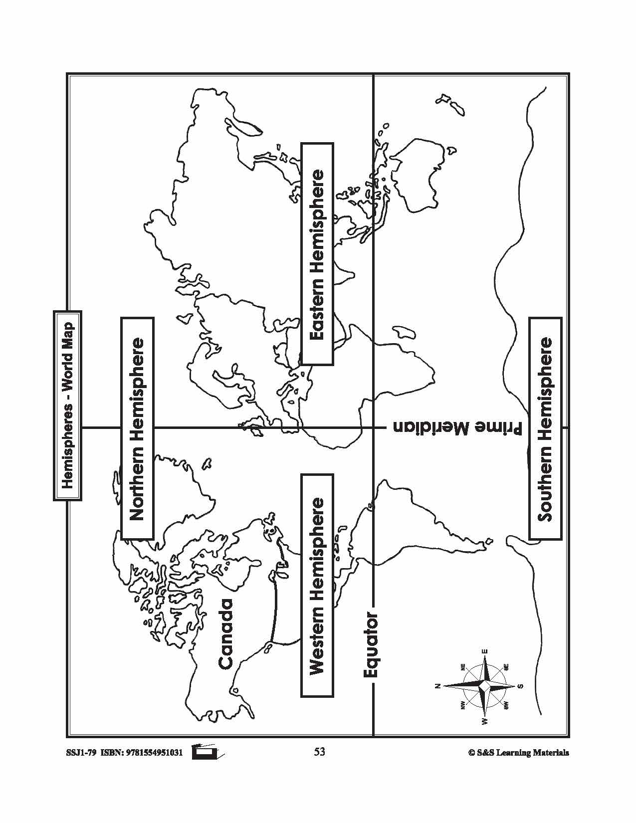


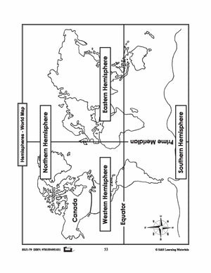
Where is Canada in the Hemispheres? Mapping Activity Gr. 1-3
$3.95 CAD
Two maps showing Canada in the hemisphere and one worksheet for students to complete.