
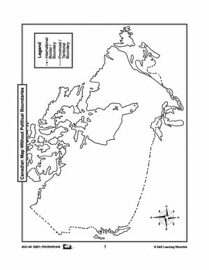
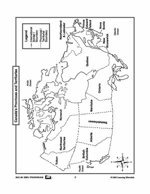
Bundles


Maps of Canada's Territories $avings Bundle! Grades 4-8
$6.45 CAD
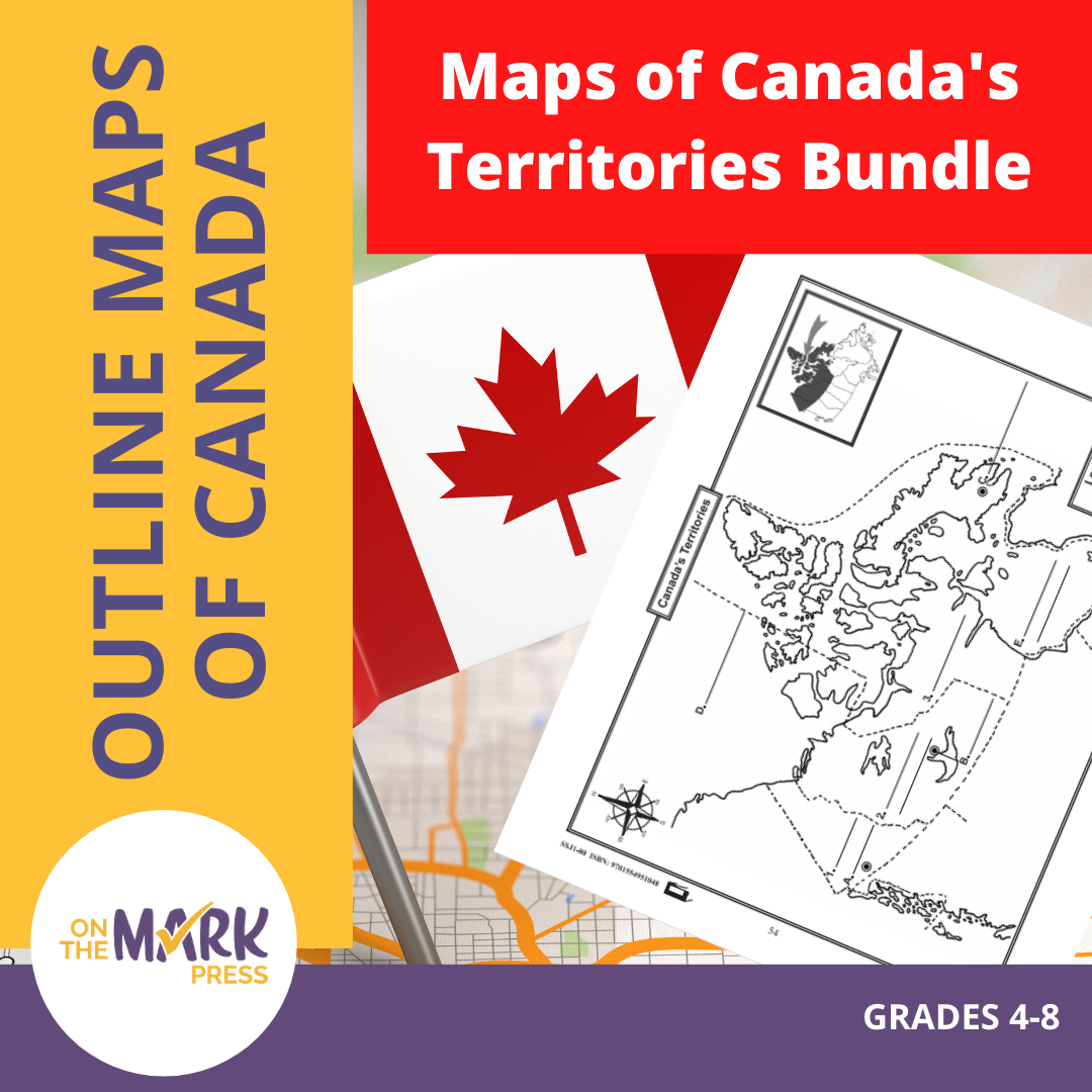
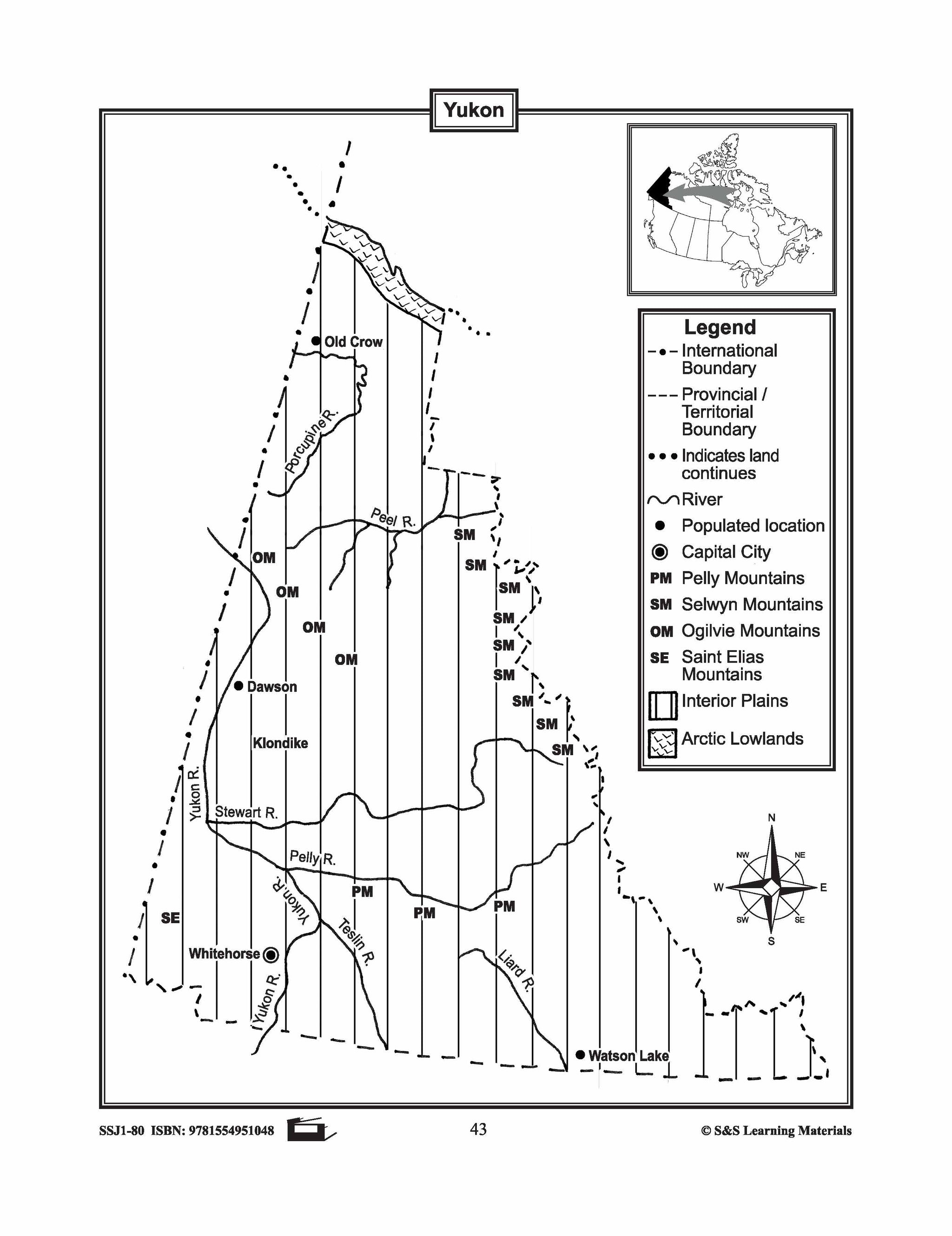
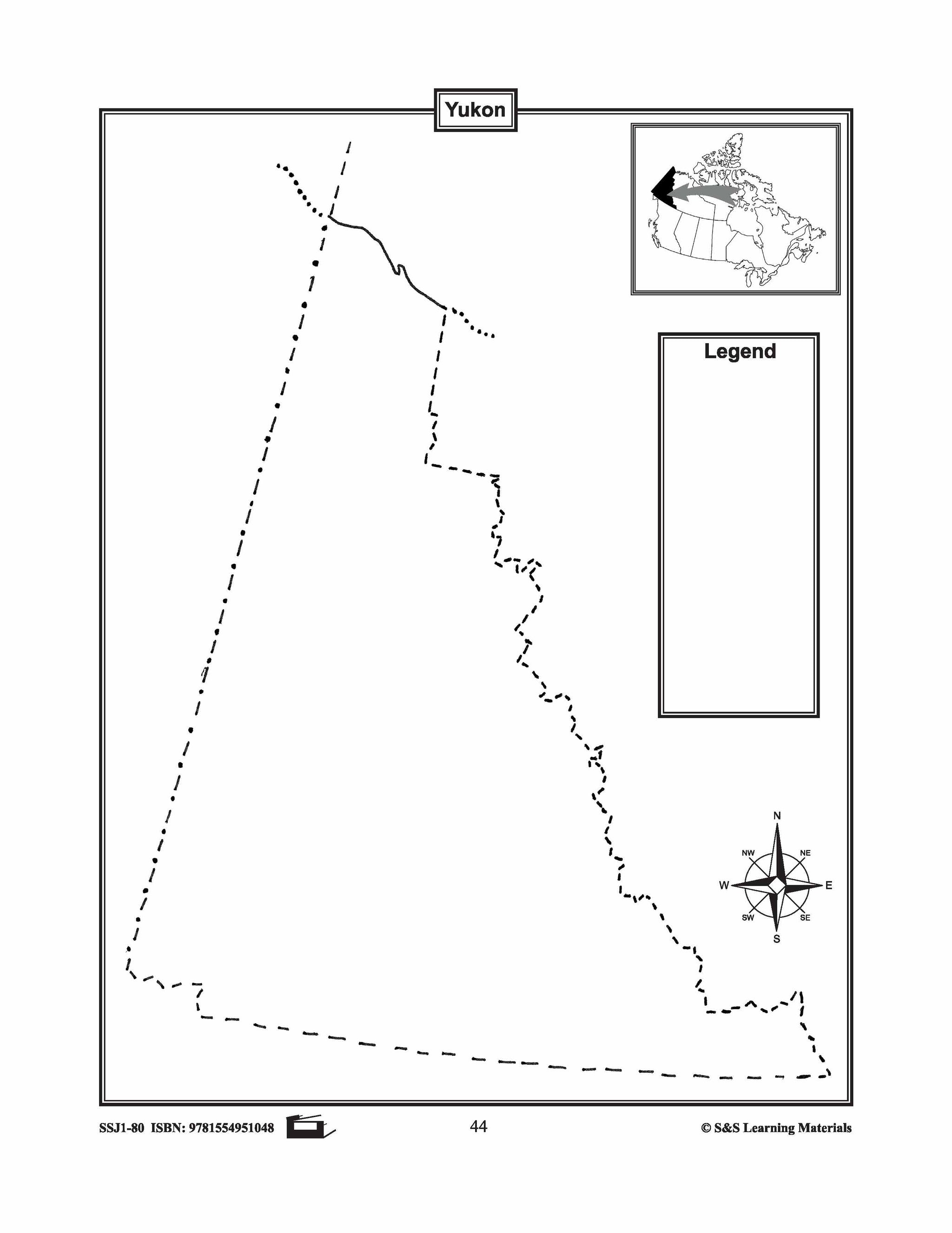
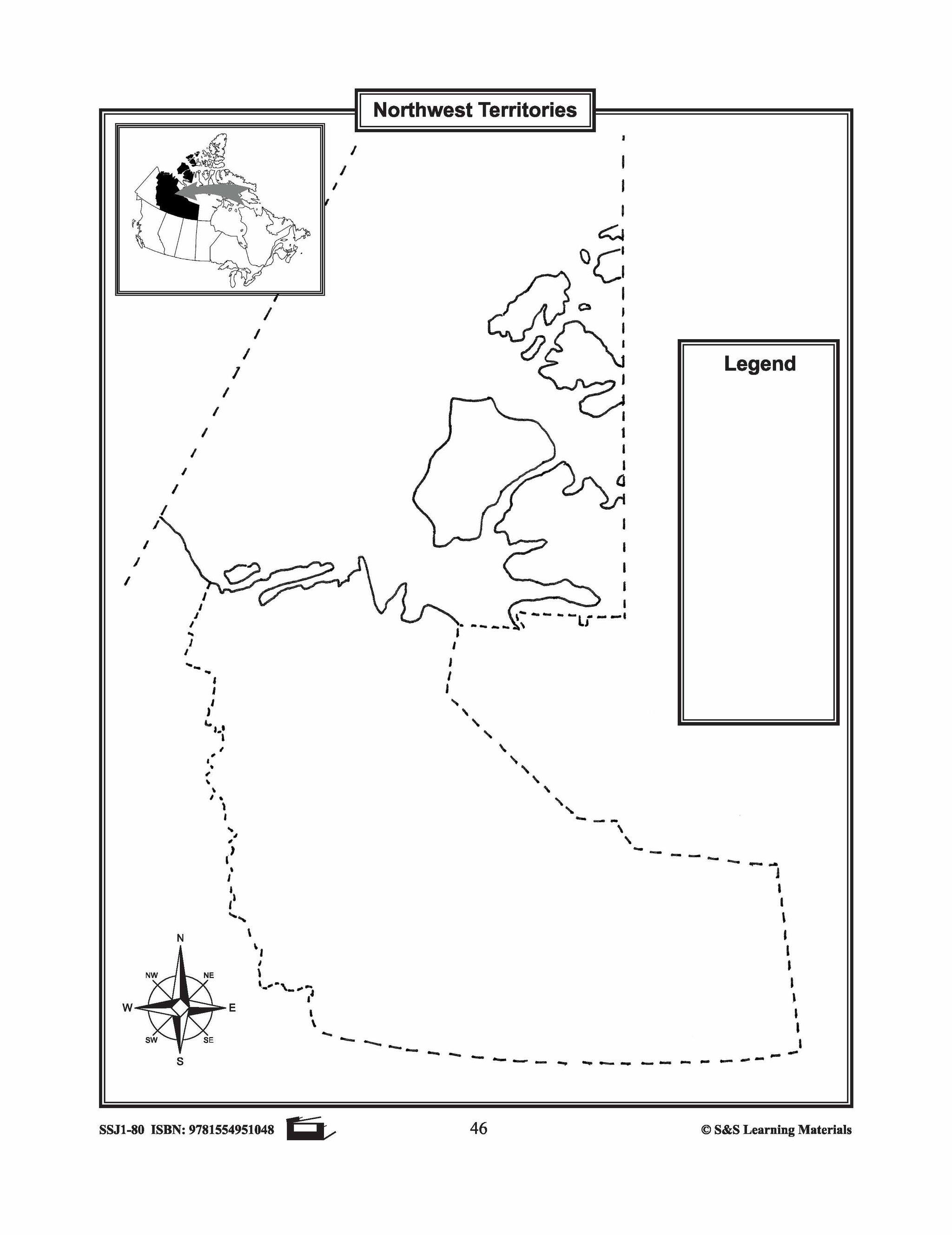
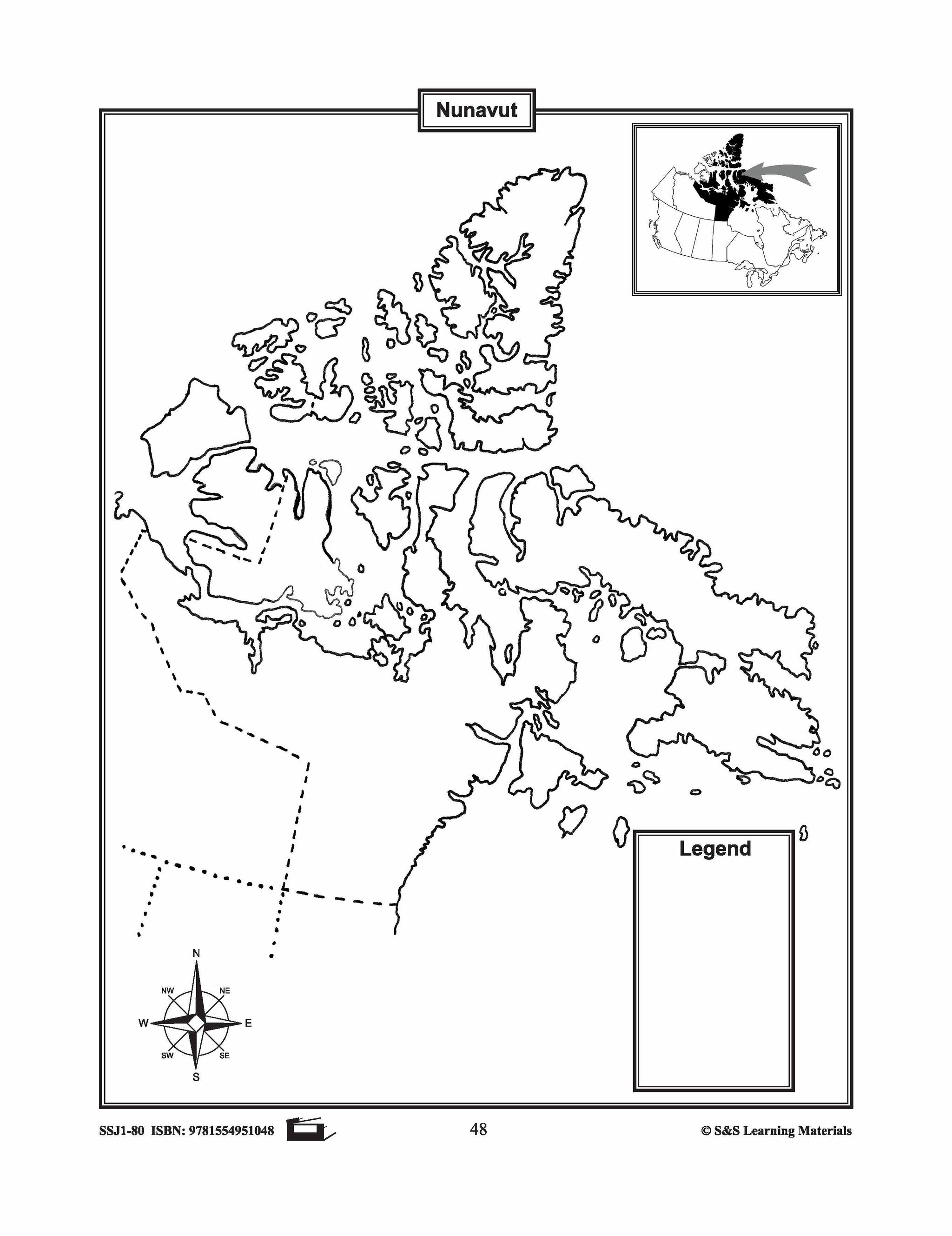
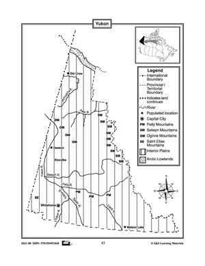
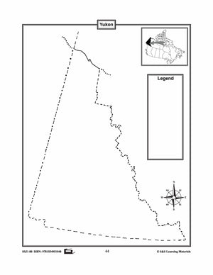
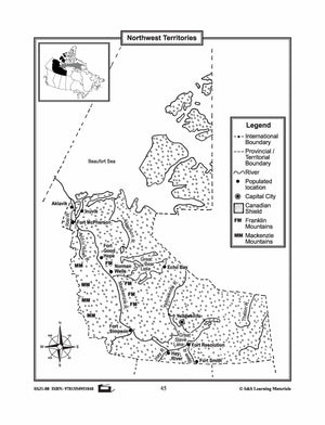
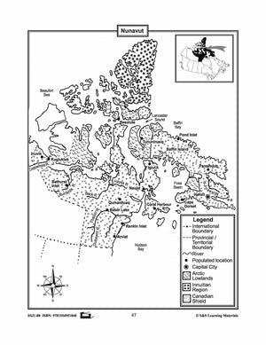
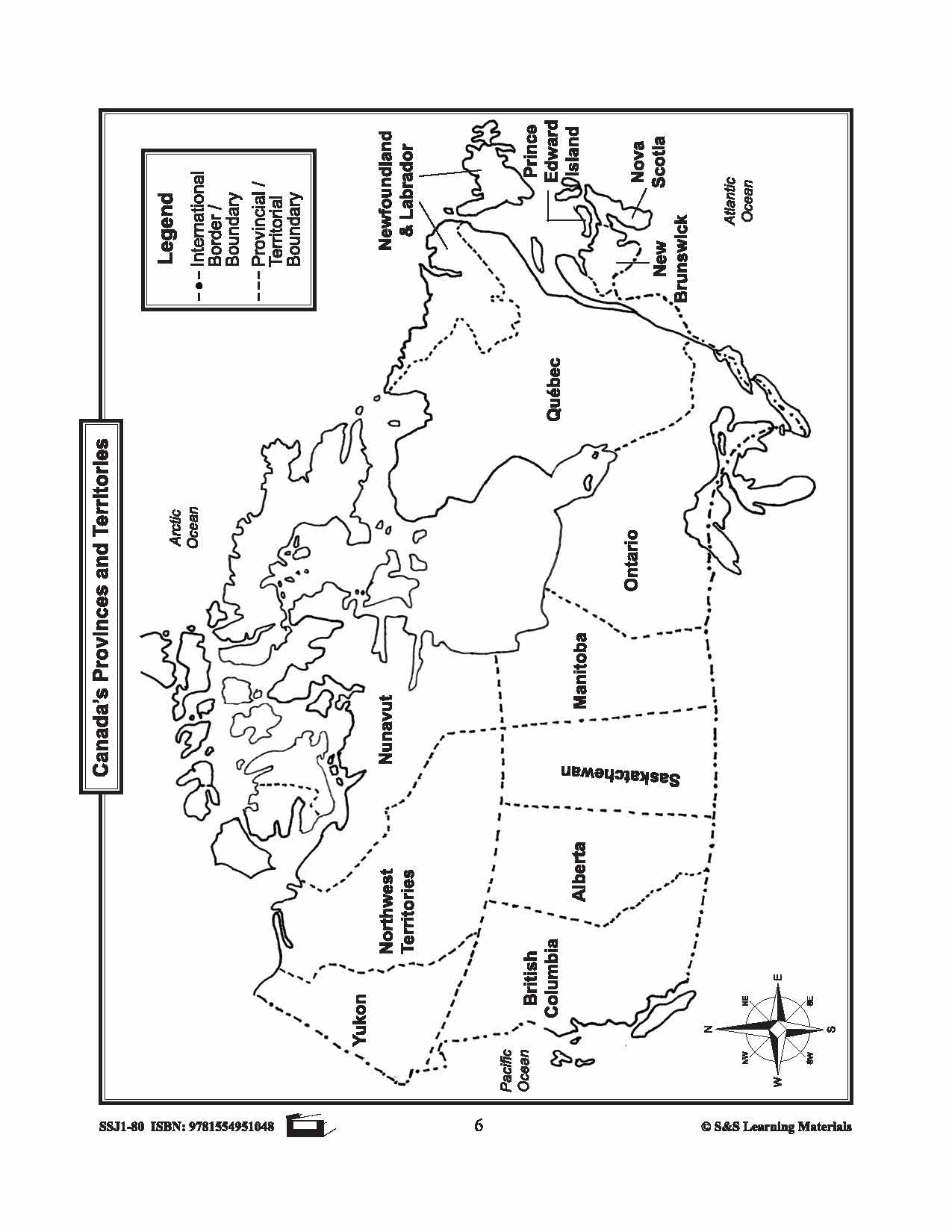
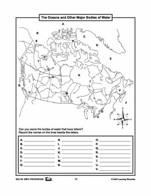
These resources help students learn about the Territories: Yukon, Northwest Territories, and Nunavut.They learn about their international and provincial/territorial boundary, rivers, landforms, capital cities, and other cities. 6 pages Subscribe to our Fan List!: Our FANlist newsletter is full of tips...


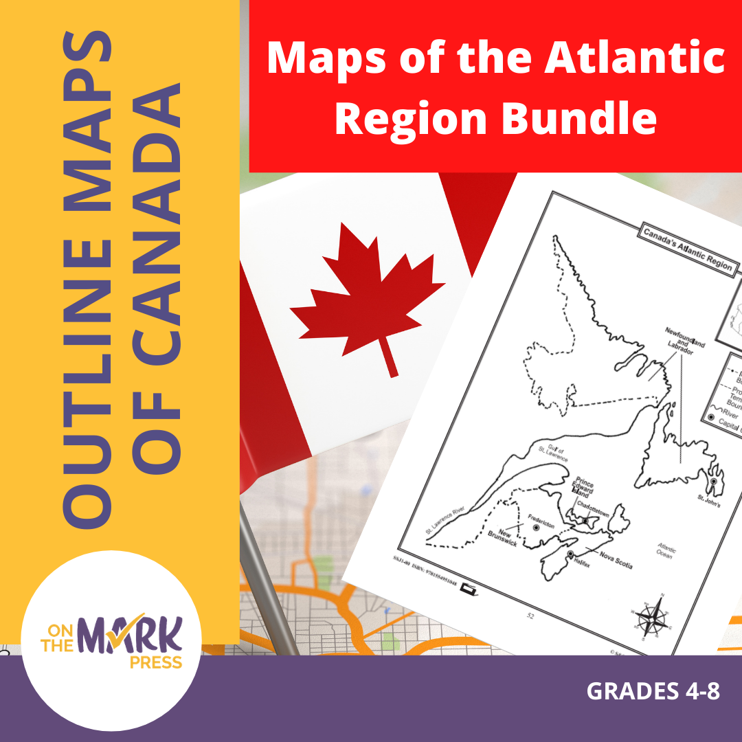

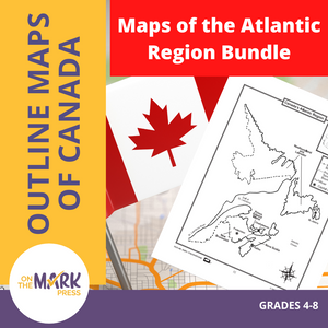


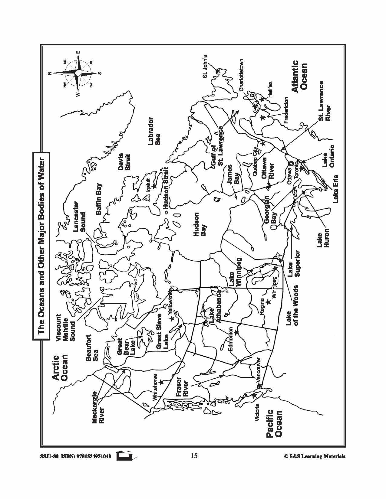
Maps of the Atlantic Region $avings Bundle! Grades 4-8
$3.45 CAD
These resources will help students learn about the Maritime provinces and help them to identify them on the Canadian map along with their capital cities and bordering bodies of water. 6 pages Subscribe to our Fan List!: Our FANlist newsletter is...
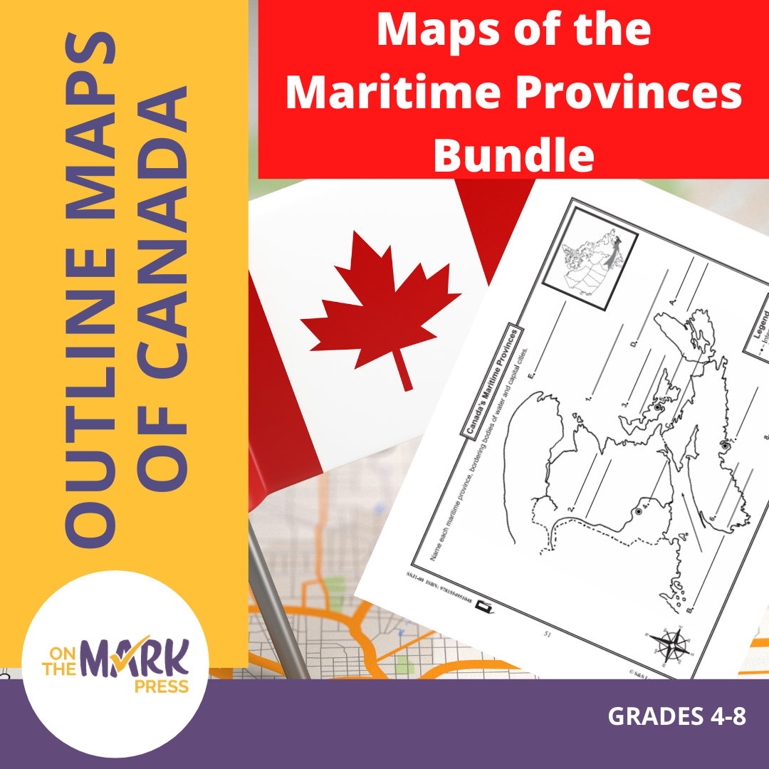


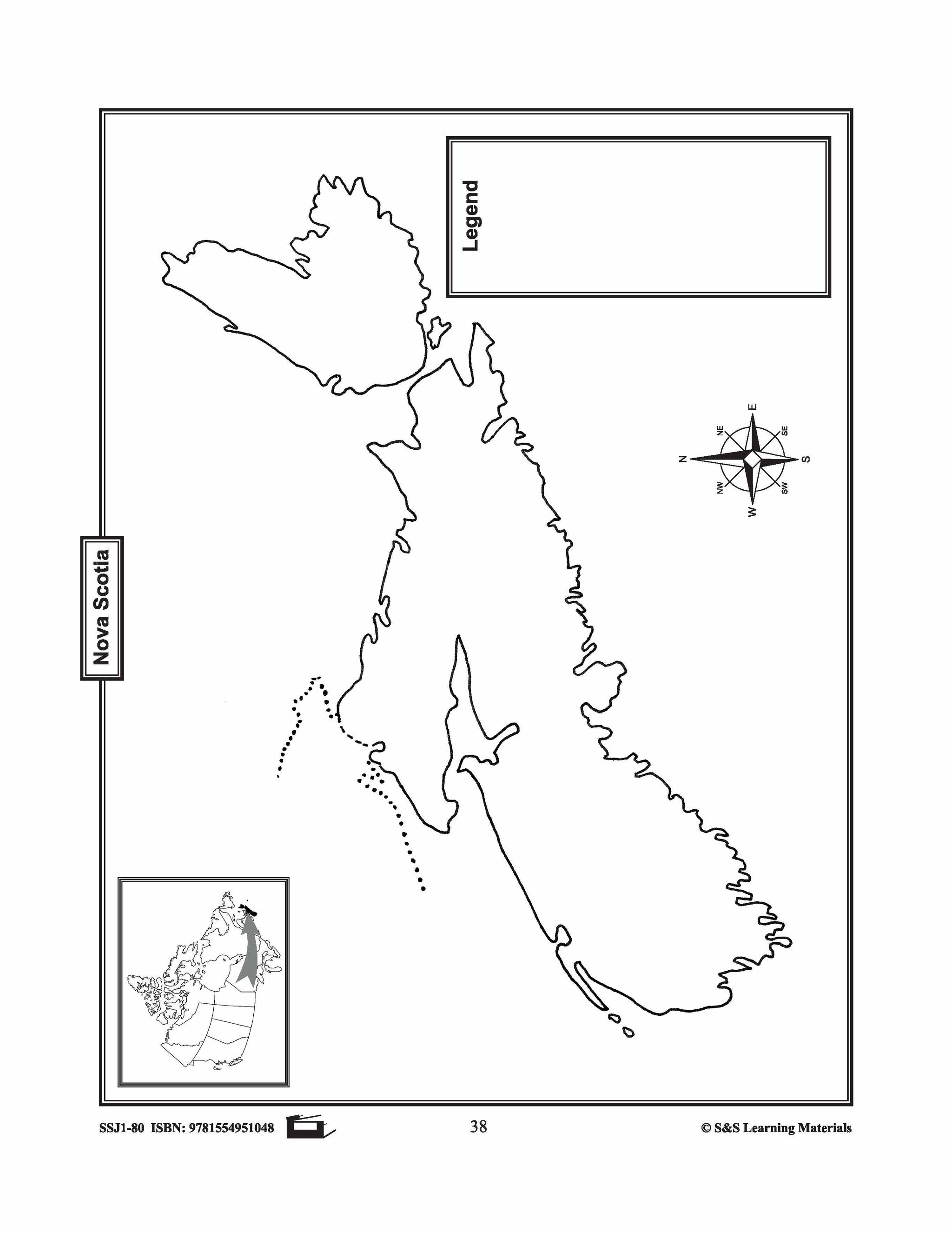


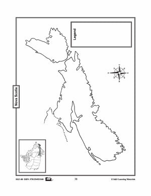
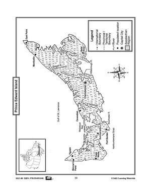
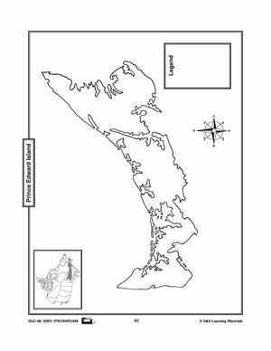
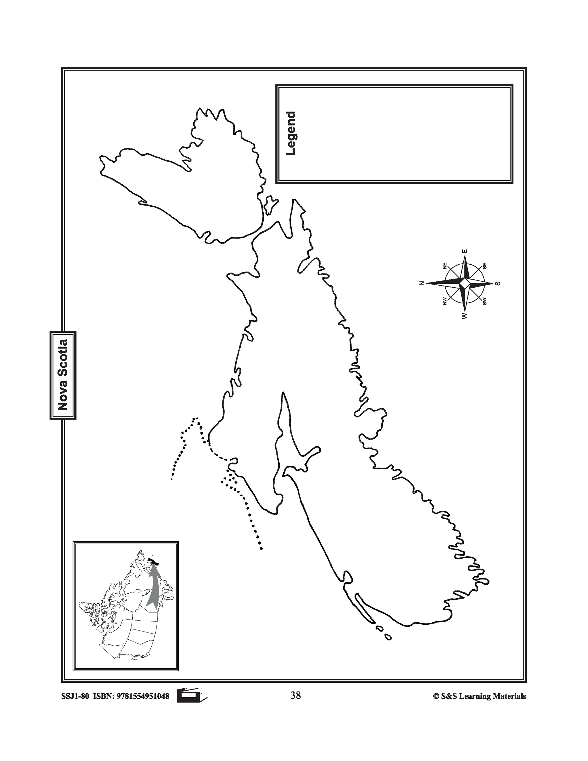
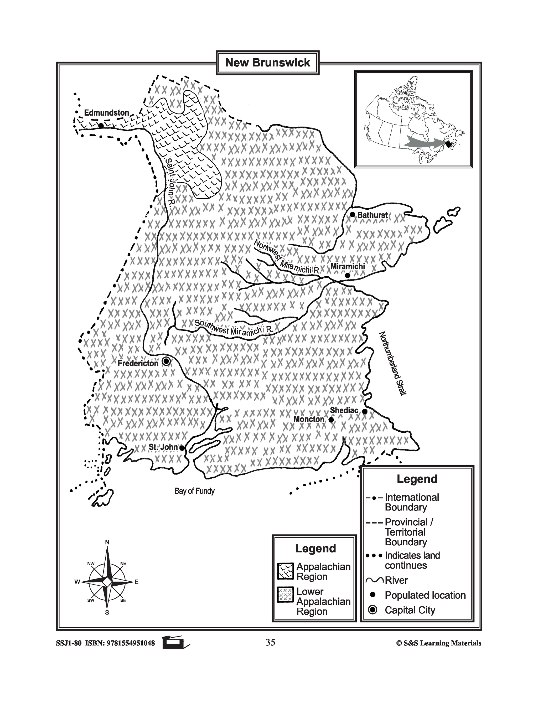
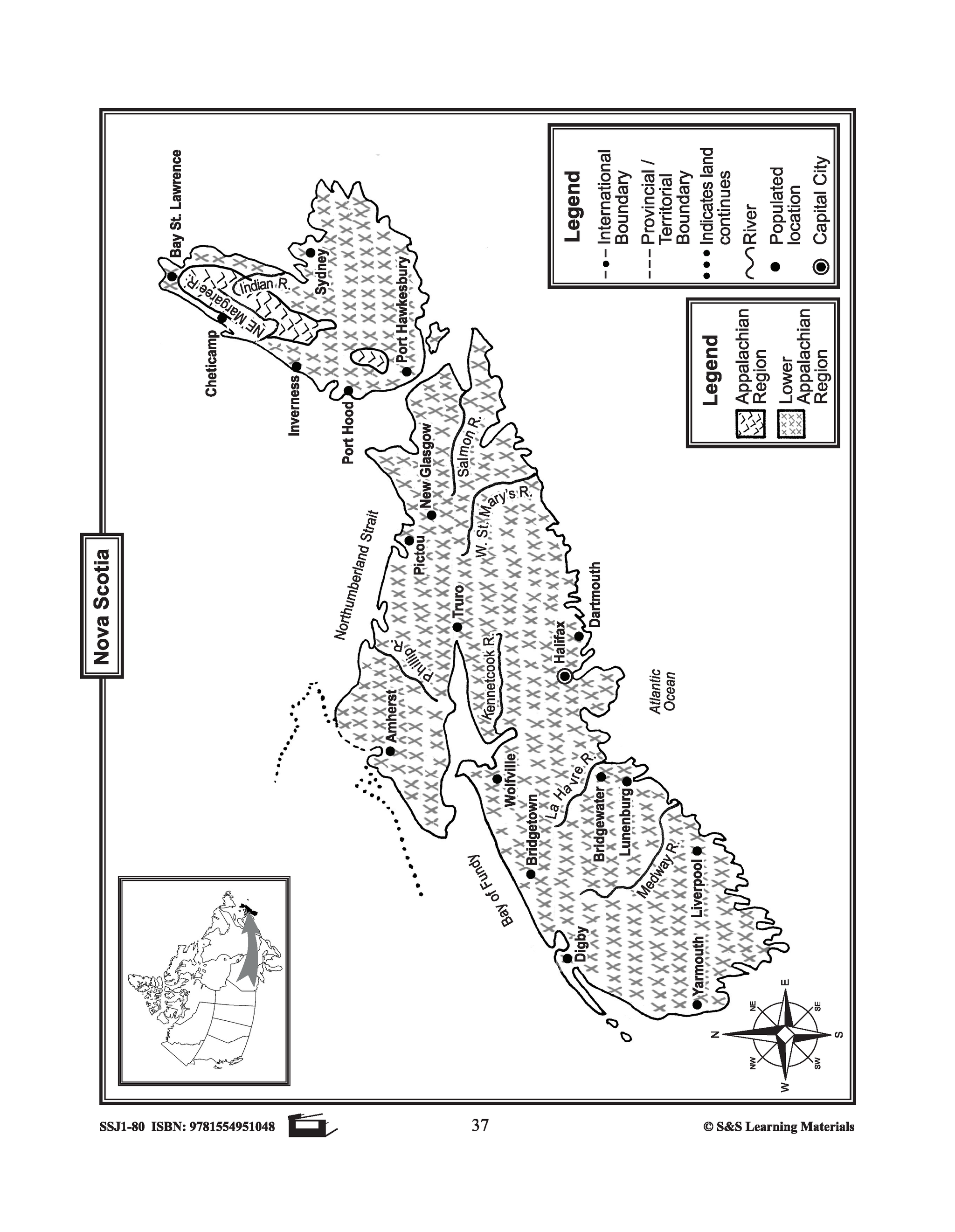
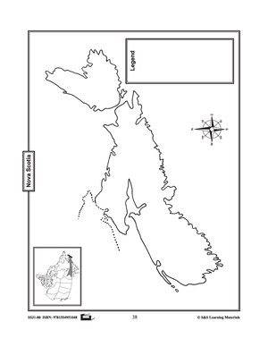
Maps of the Maritime Provinces $avings Bundle! Grades 4-8
$8.45 CAD
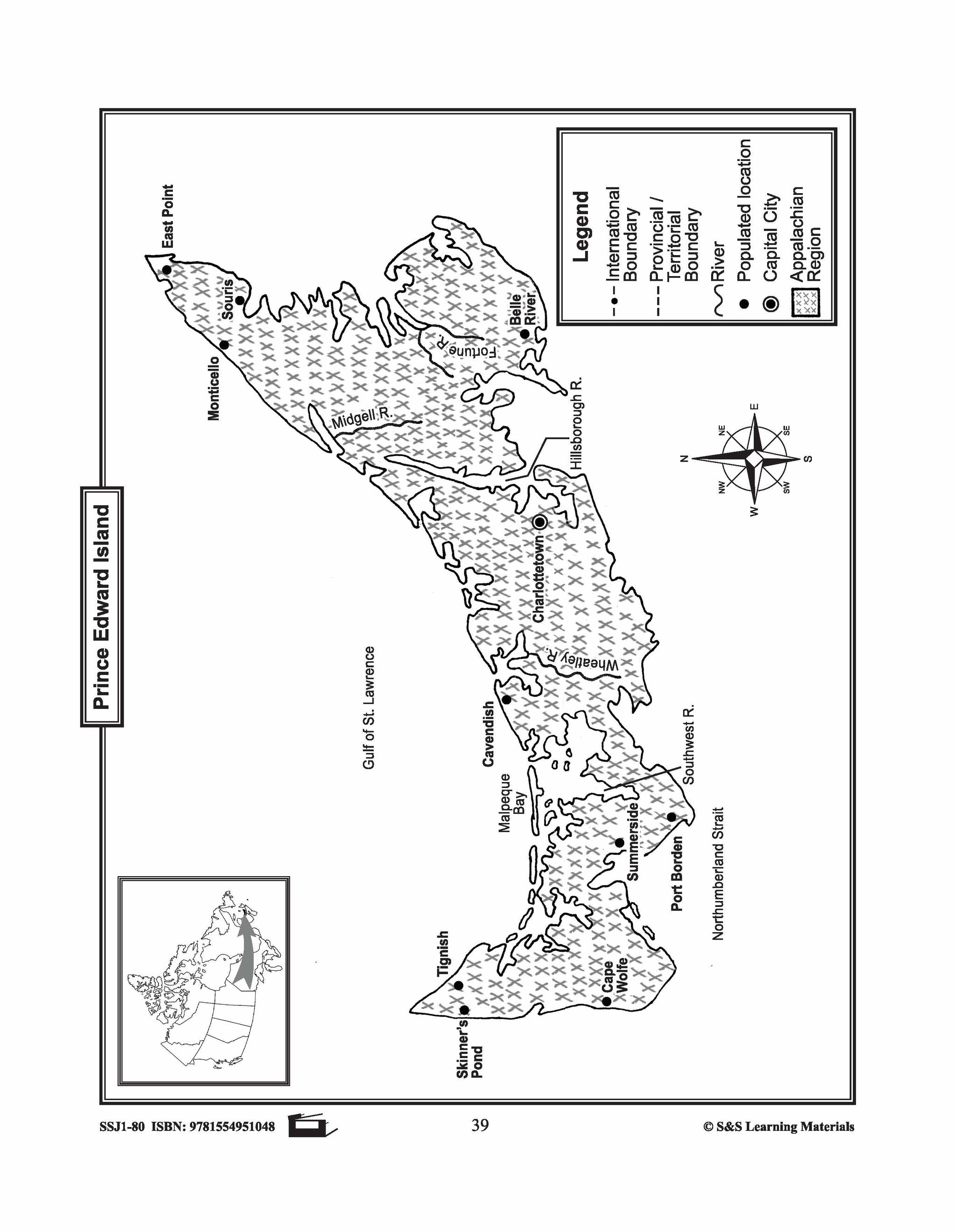
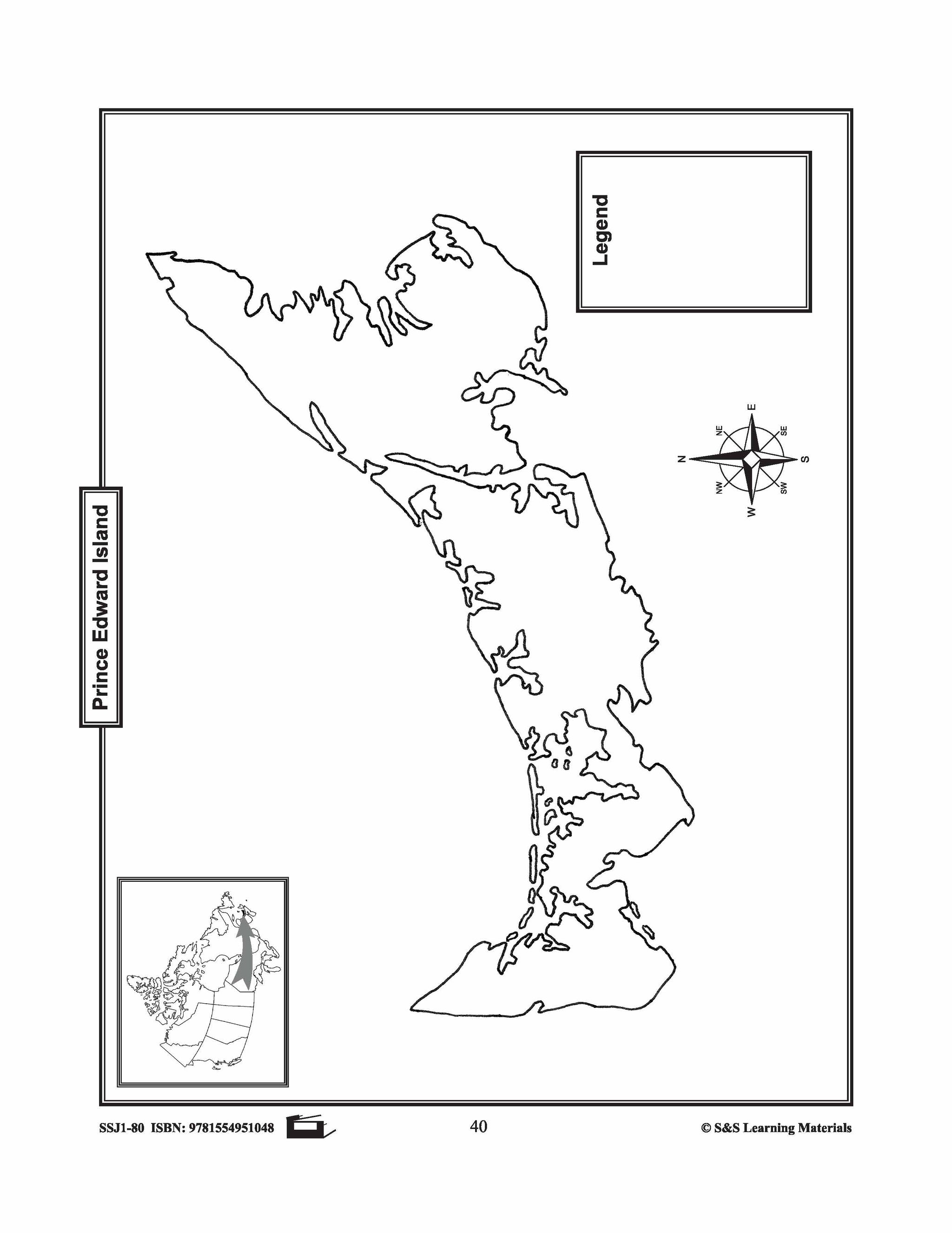
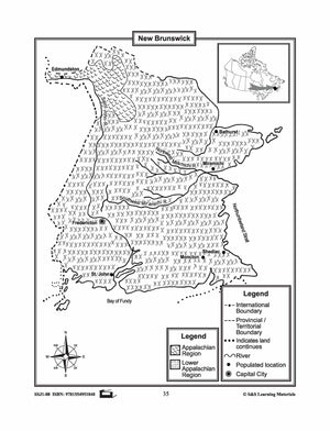
The maps will help students learn about the Maritime provinces and their international and provincial/territorial boundary, rivers, landforms, the capital city, and other cities. 6 pages Subscribe to our Fan List!: Our FANlist newsletter is full of tips on ways to save time...


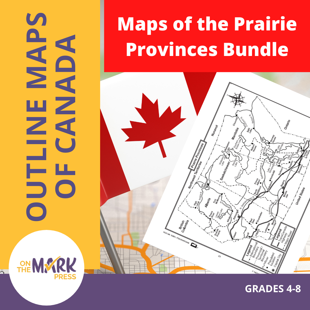
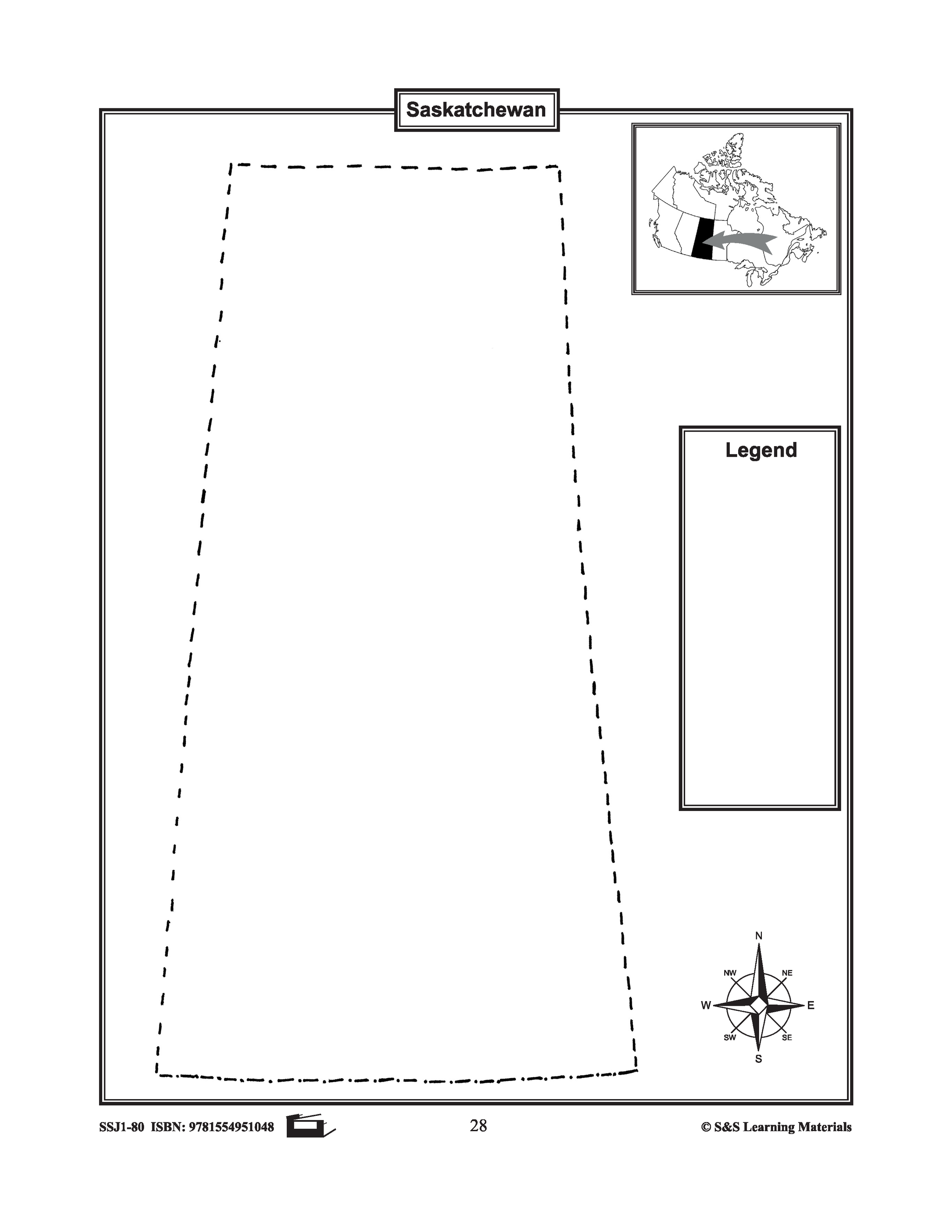


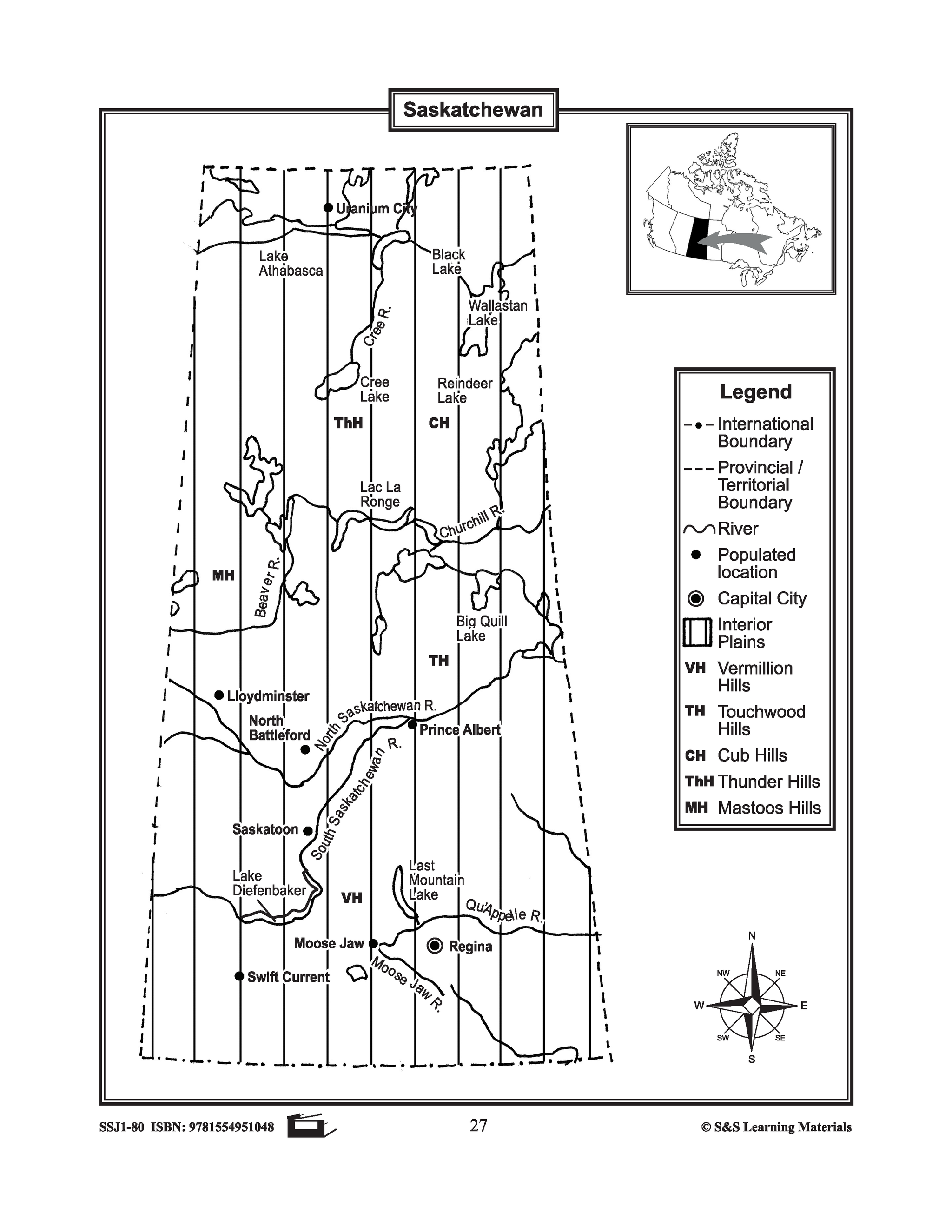


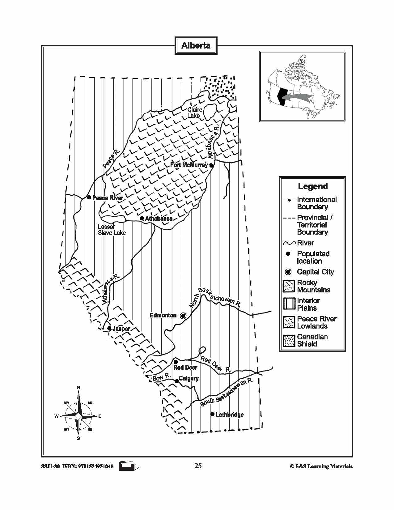
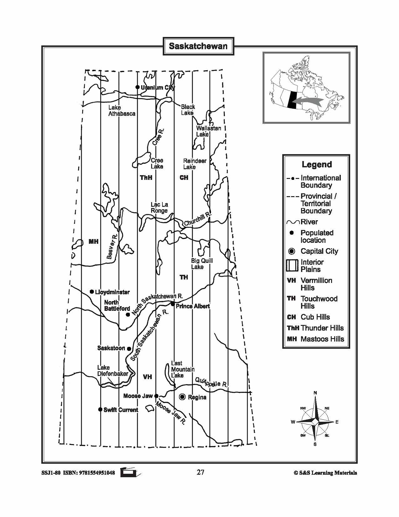
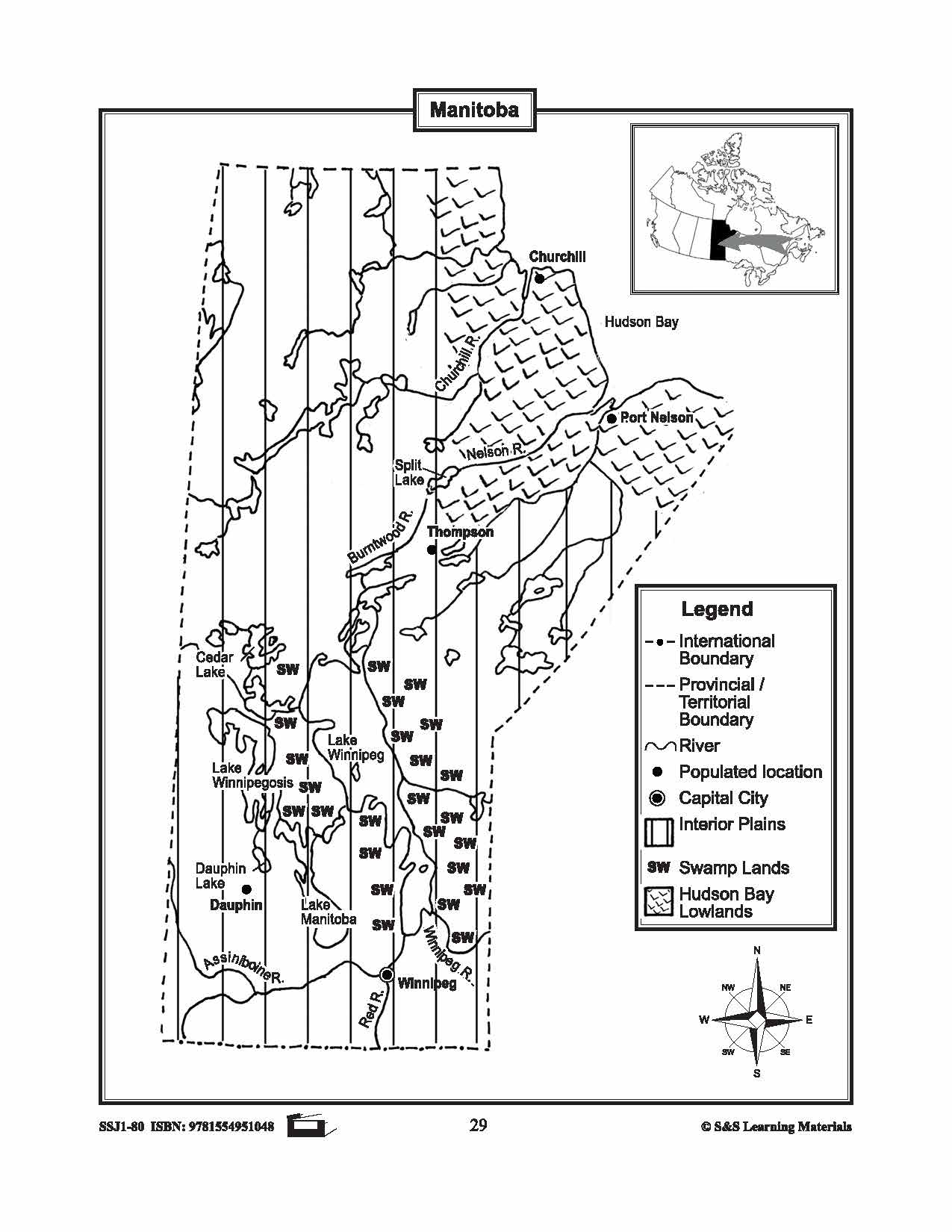
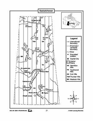
Maps of the Prairie Provinces $avings Bundle! Grades 4-8
$8.45 CAD
The maps will help students learn about the Prairie Provinces and their international and provincial/territorial boundary, rivers, landforms, the capital city, and other cities. 8 pages Subscribe to our Fan List!: Our FANlist newsletter is full of tips on ways to save time with...


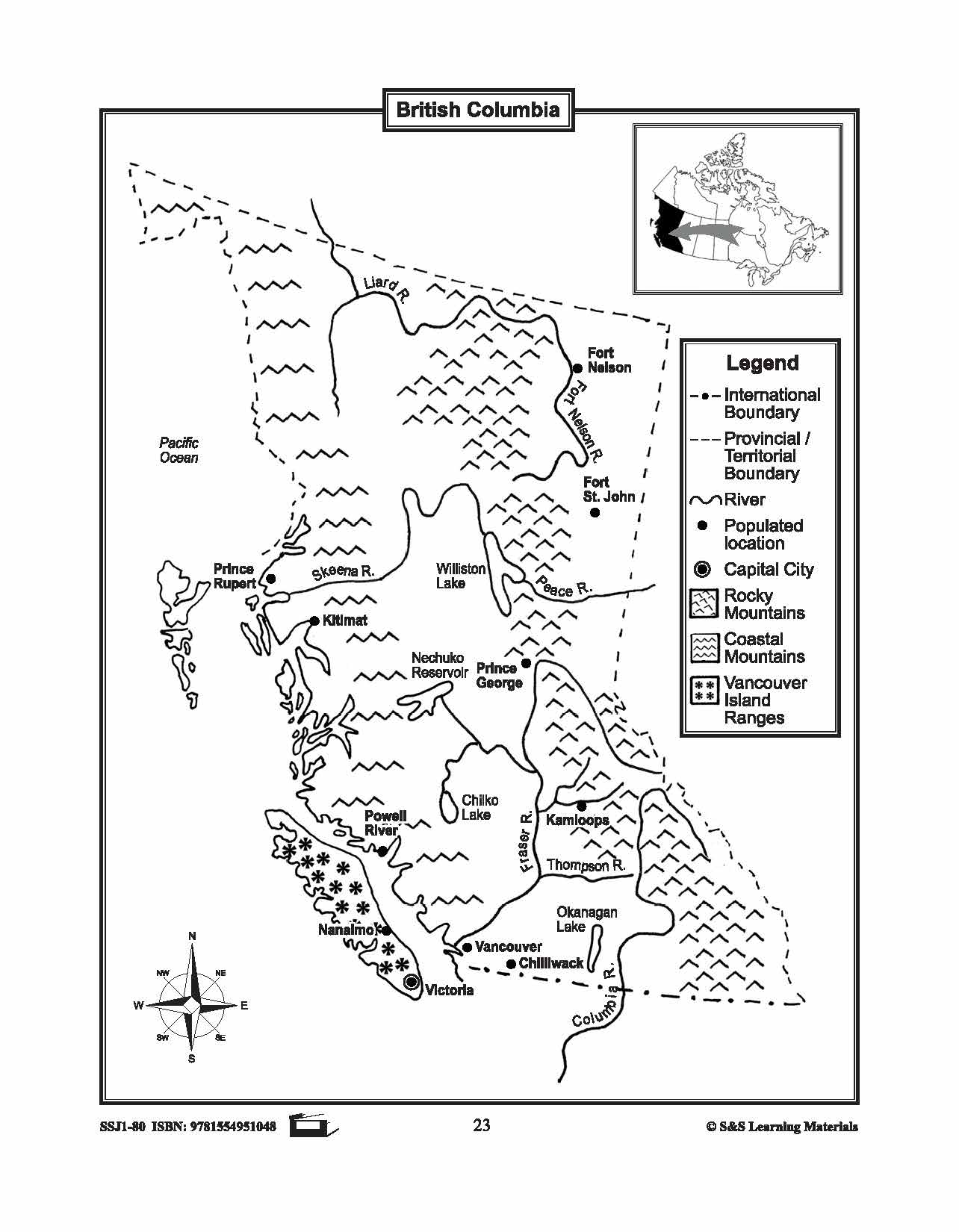

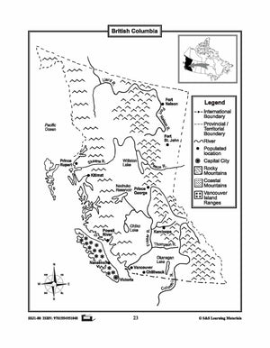


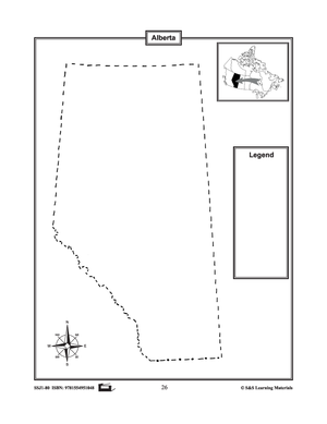
Maps of the Western Provinces $avings Bundle! Grades 4-8
$8.45 CAD
These resources will help students learn about the Western Provinces and help them to identify them on the Canadian map along with their capital cities and important cities. 8 pages Subscribe to our Fan List!: Our FANlist newsletter is full of...