
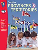


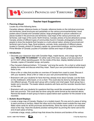


Canada's Provinces & Territories Grades 4-6
EBJ192
$33.99 CAD
Additional information:
- Author : Solski, Ruth
Students will study Canada's ten provinces and three territories. During this study, students will develop and strengthen reading, research, and mapping skills.
Expand your student knowledge of Canada's:
- Physical Regions
- Climate
- Provinces
- Territories
- Capital Cities
- Bodies of Water
- Natural Resources
- Industrial Growth, and it's
- People
Includes 20+ activities, 23 maps, teacher guide, and answer key!
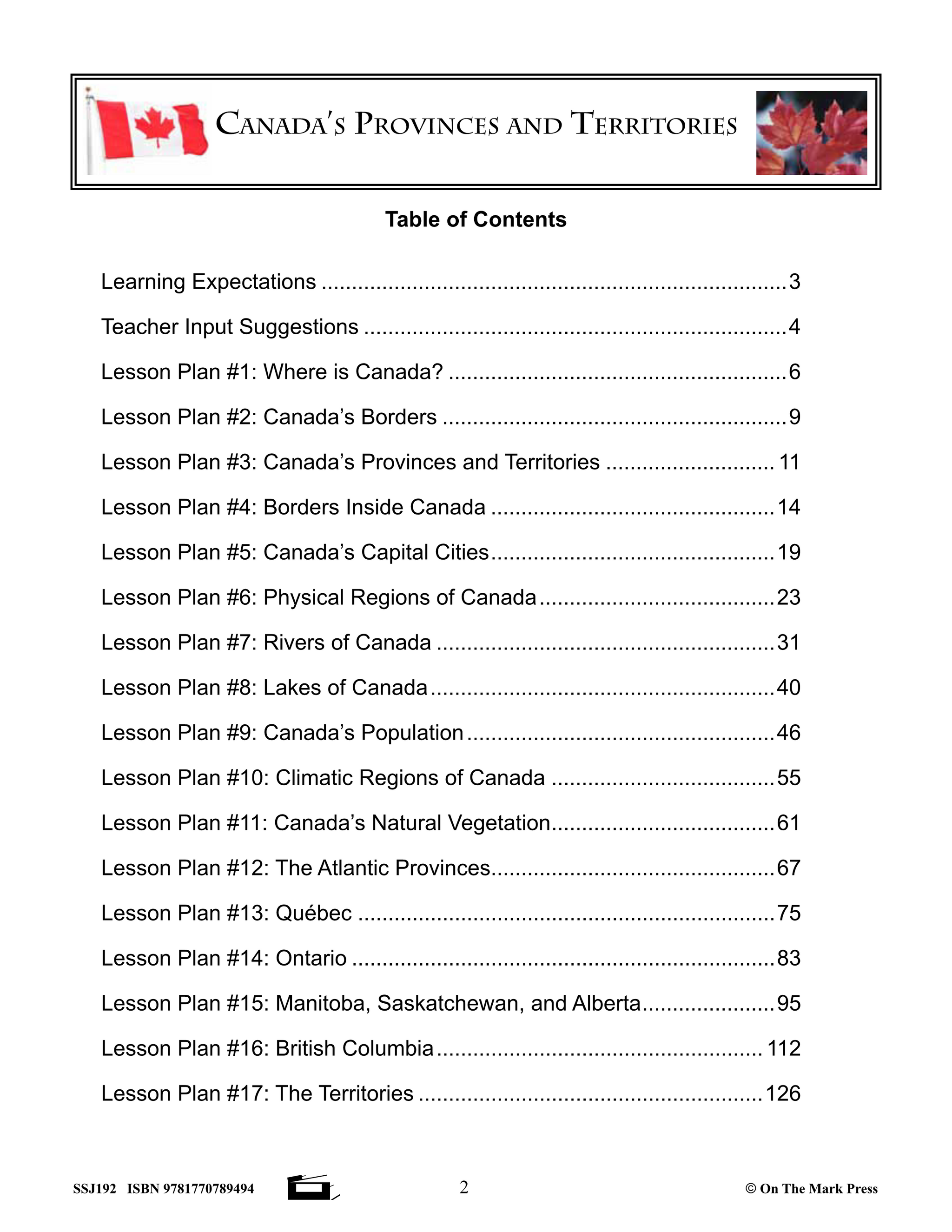
Seventeen lesson topics:
Lesson Plan #1: Where is Canada?
Lesson Plan #2: Canada’s Borders
Lesson Plan #3: Canada’s Provinces and Territories
Lesson Plan #4: Borders Inside Canada
Lesson Plan #5: Canada’s Capital Cities
Lesson Plan #6: Physical Regions of Canada
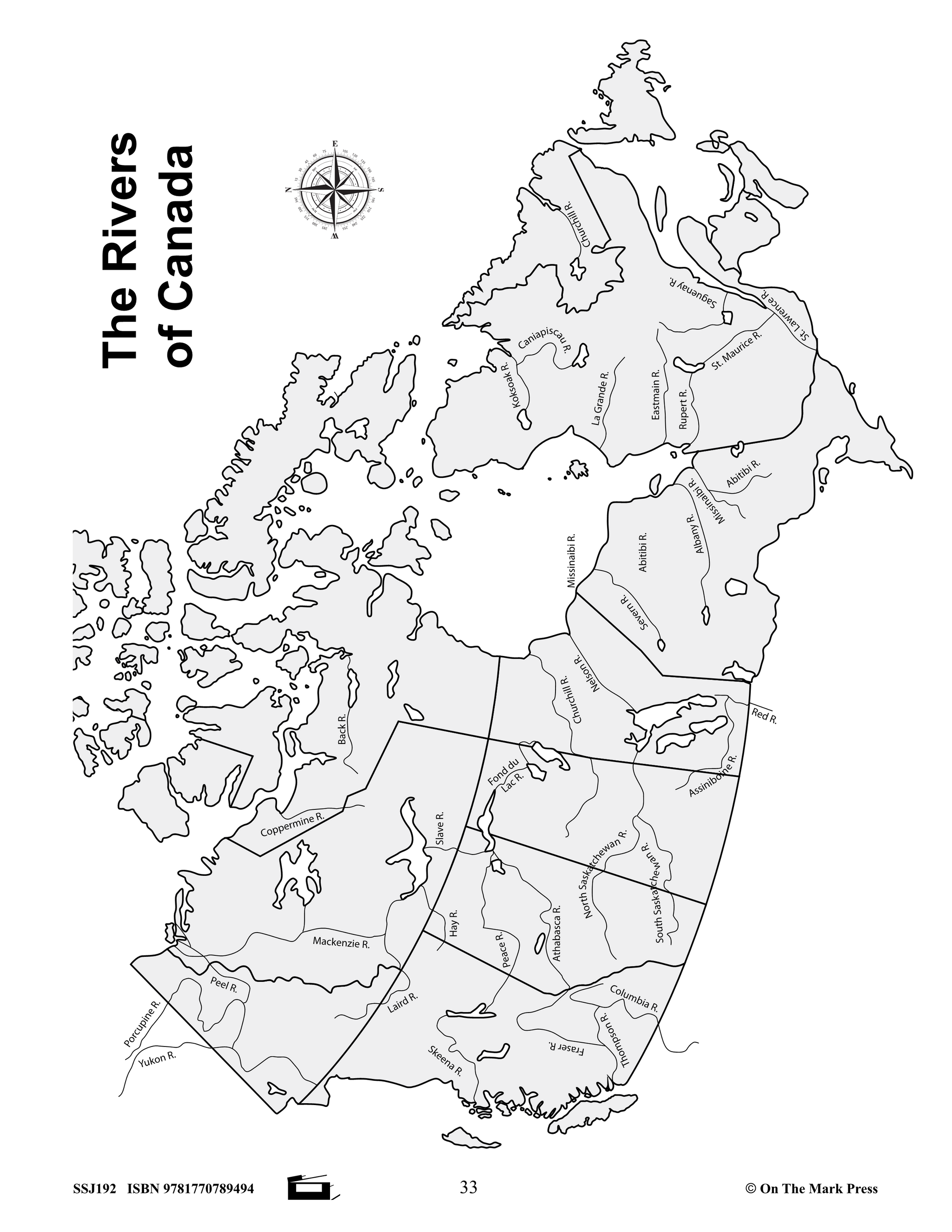
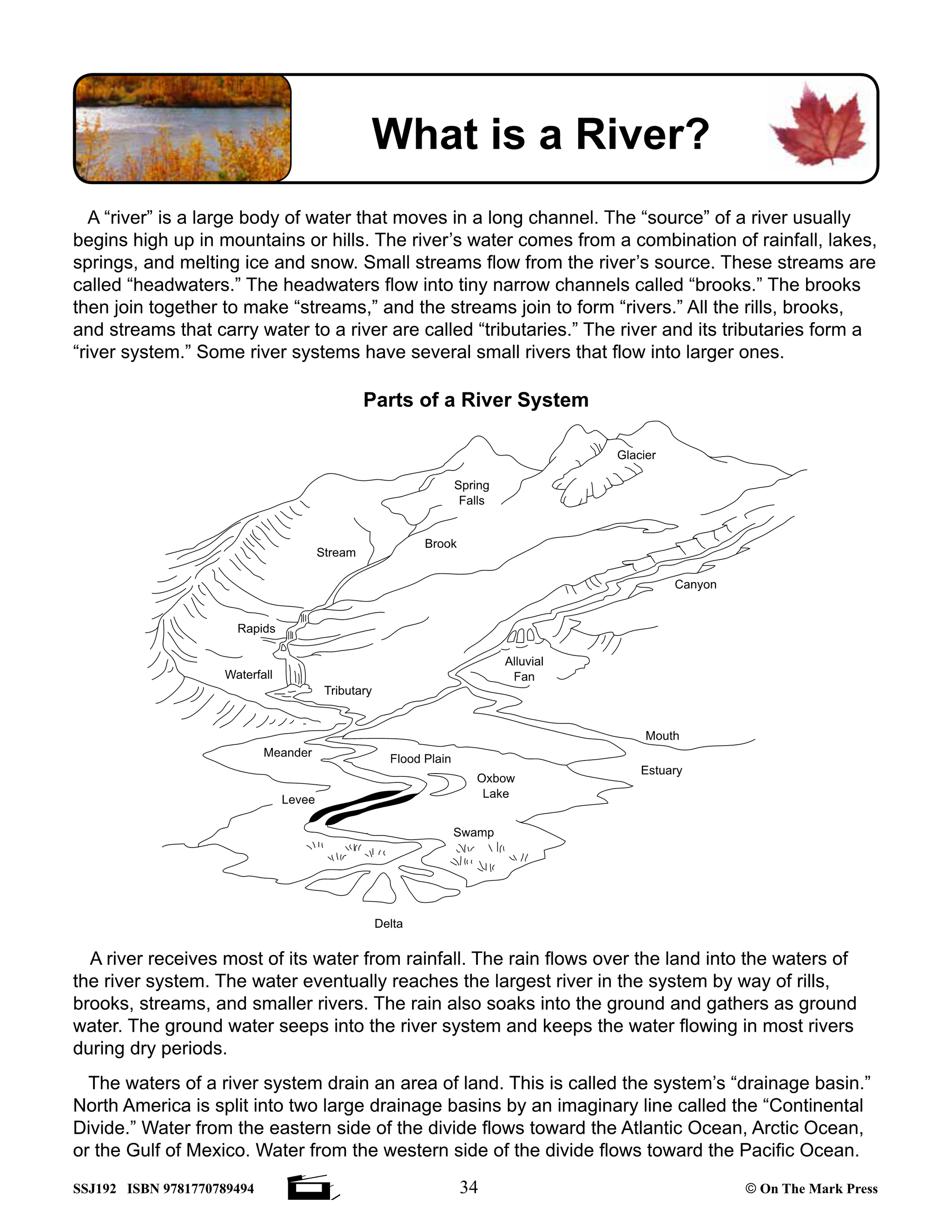
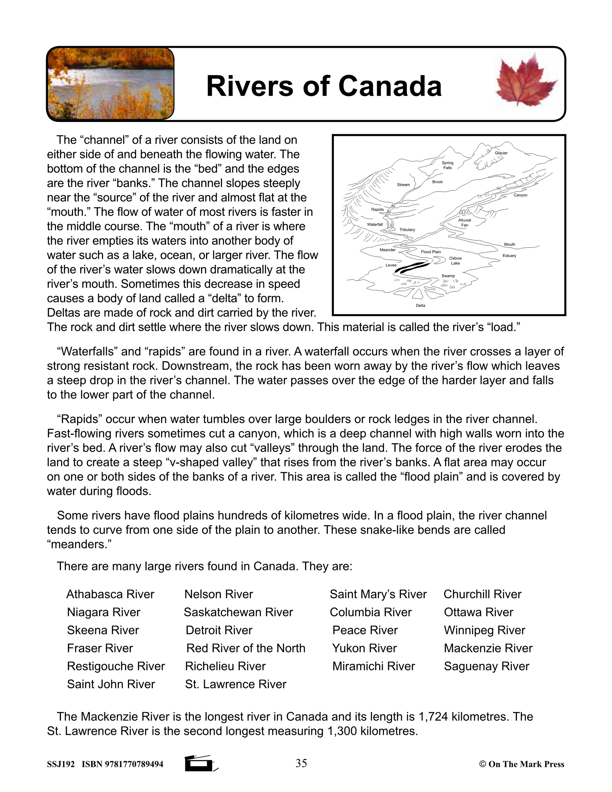
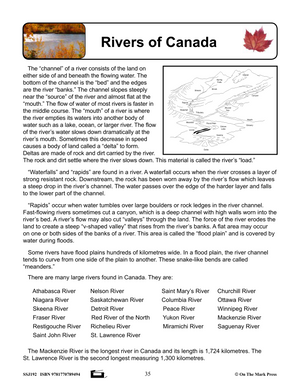
Lesson Plan #7: Rivers of Canada
Lesson Plan #8: Lakes of Canada
Lesson Plan #9: Canada’s Population
Lesson Plan #10: Climatic Regions of Canada
Lesson Plan #11: Canada’s Natural Vegetation
Lesson Plan #12: The Atlantic Provinces
Lesson Plan #13: Québec
Lesson Plan #14: Ontario
Lesson Plan #15: Manitoba, Saskatchewan, and Alberta
Lesson Plan #16: British Columbia
Lesson Plan #17: The Territories
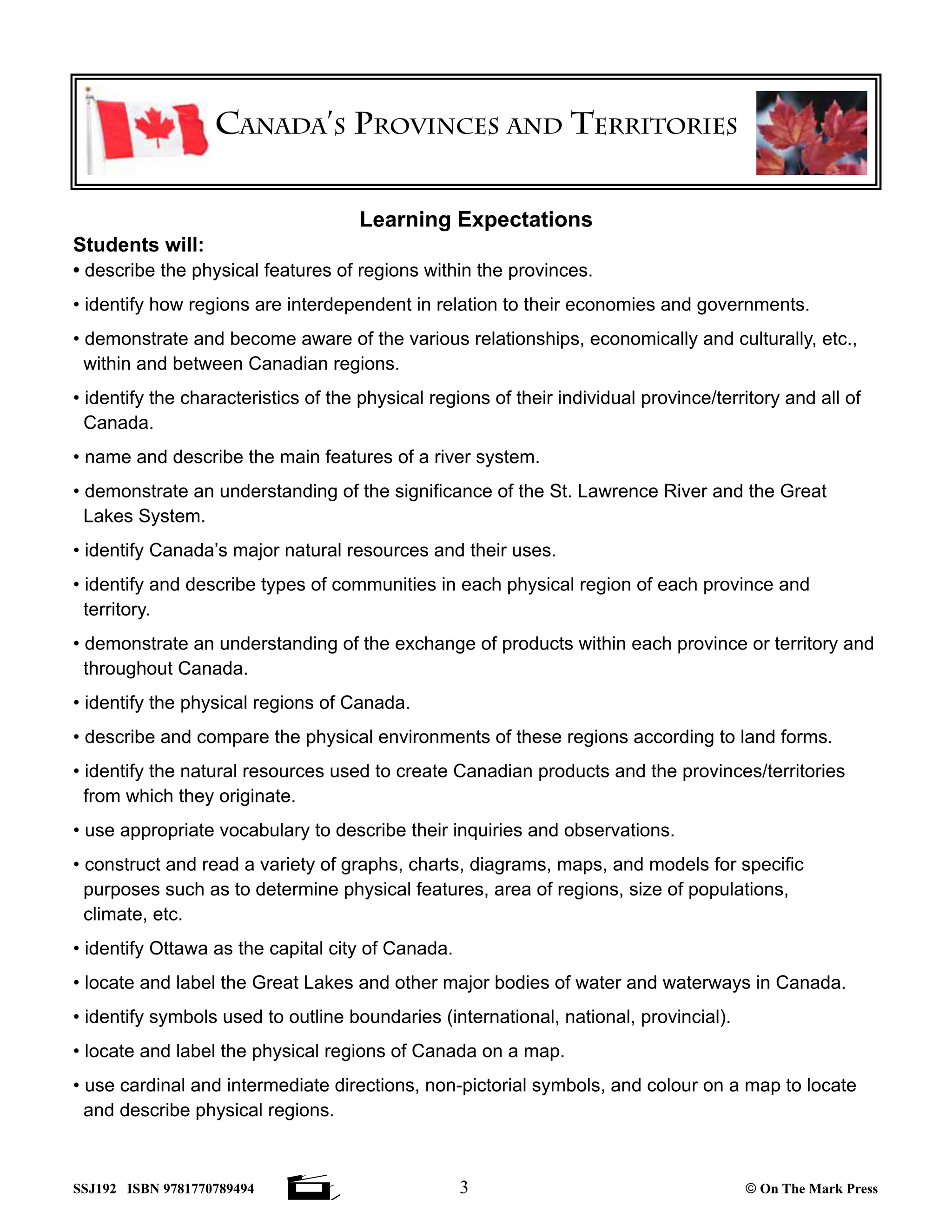
Learning outcomes for students include:
- describe the physical features of regions within the provinces.
- identify how regions are interdependent in relation to their economies and governments.
- demonstrate and become aware of the various relationships, economically and culturally, etc., within and between Canadian regions.
- identify the characteristics of the physical regions of their individual province/territory and all of Canada.
- name and describe the main features of a river system.
- demonstrate an understanding of the significance of the St. Lawrence River and the Great Lakes System.
- identify Canada’s major natural resources and their uses.
- identify and describe types of communities in each physical region of each province and territory.
- demonstrate an understanding of the exchange of products within each province or territory and throughout Canada.
- identify the physical regions of Canada.
- describe and compare the physical environments of these regions according to land forms.
- identify the natural resources used to create Canadian products and the provinces/territories from which they originate.
- use appropriate vocabulary to describe their inquiries and observations.
- construct and read a variety of graphs, charts, diagrams, maps, and models for specific purposes such as to determine physical features, area of regions, size of populations, climate, etc.
- identify Ottawa as the capital city of Canada.
- locate and label the Great Lakes and other major bodies of water and waterways in Canada.
- identify symbols used to outline boundaries (international, national, provincial).
- locate and label the physical regions of Canada on a map.
- use cardinal and intermediate directions, non-pictorial symbols, and colour on a map to locate and describe physical regions.
Teacher Reviews:
Madelaine C. Excellent resource for my homeschooling needs. Well laid out, logical progression and comprehensive resource. Thank you.
Dianne T. This resource is full of up to date and useful information. Use it constantly with my class.
Jade C. I love this so much! Perfect time saver to use in my classroom so students have it! Thank you so much for working so hard and providing us with this amazing printable!!!
You may also like:
Canadian Daily Language Activities
Subscribe to our Fan List!: Our FANlist newsletter is full of tips on ways to save time with our resources, exclusive sales, new product info and free monthly downloads – you won’t want to miss out!
Follow us on:
![]()
![]()