


Grade 4, 5 and 6
Maps of Canada Grades 4-8
EBJ18001
$6.95 CAD
Additional information:
- Author : Golletz, Lynda
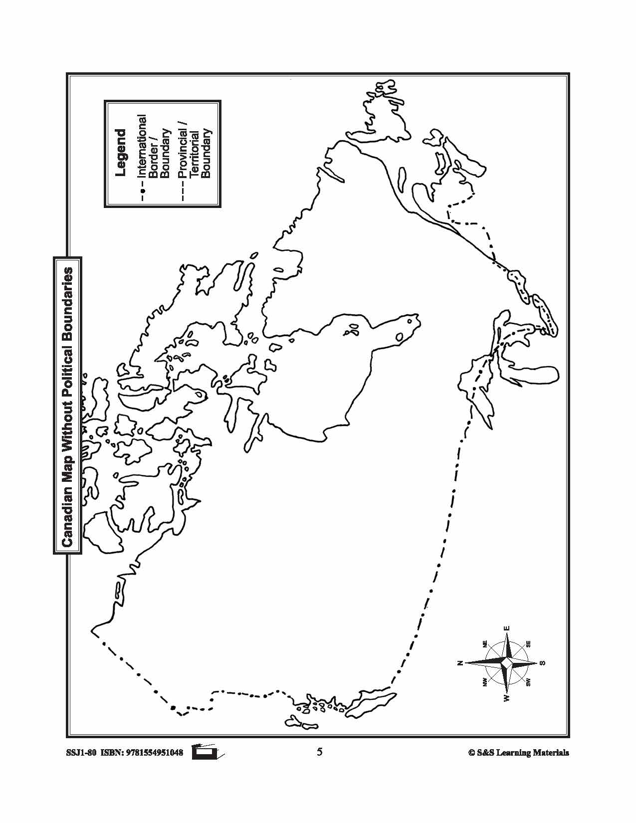
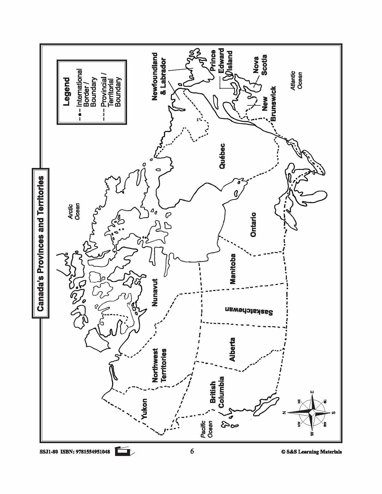
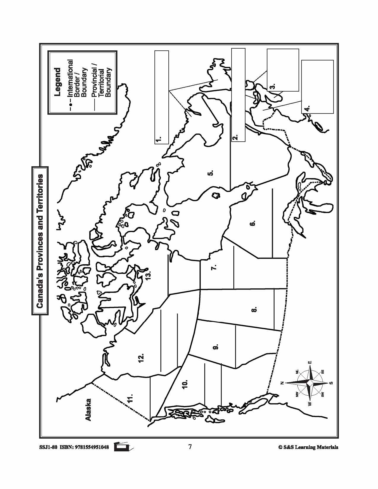
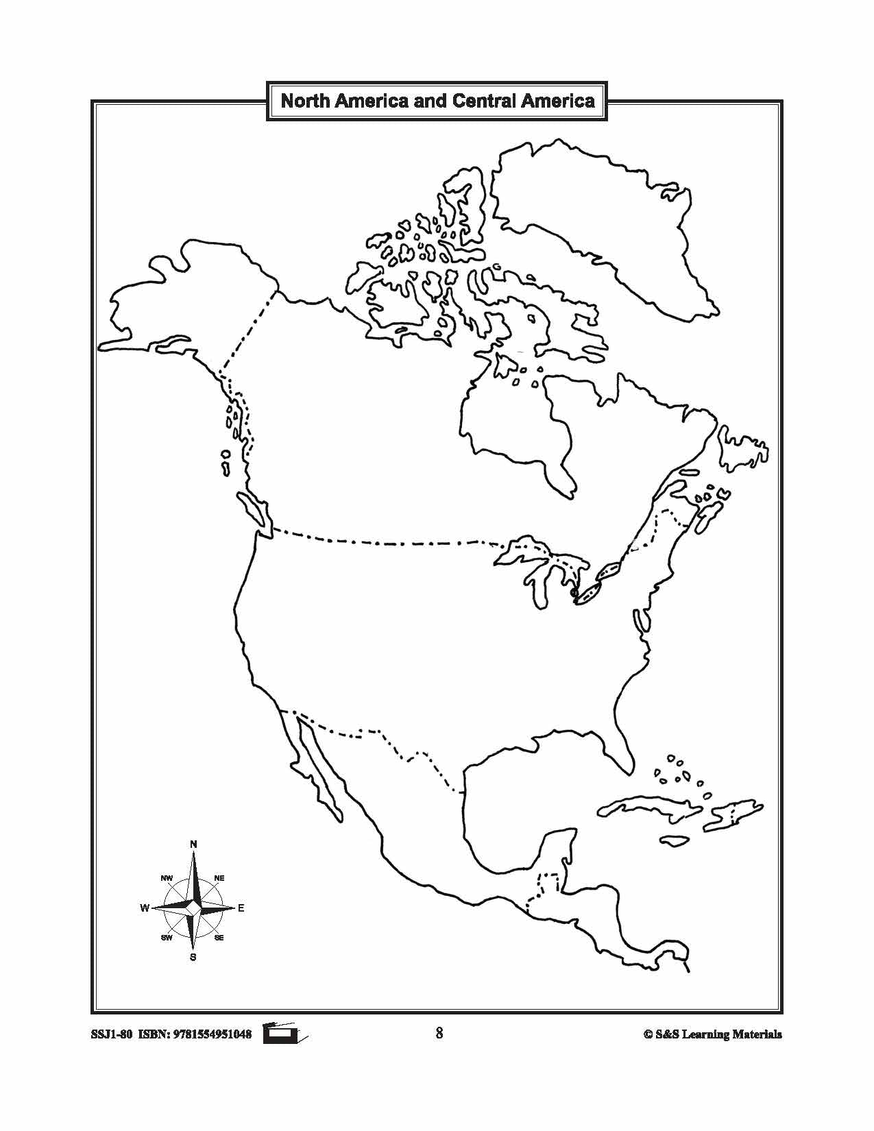
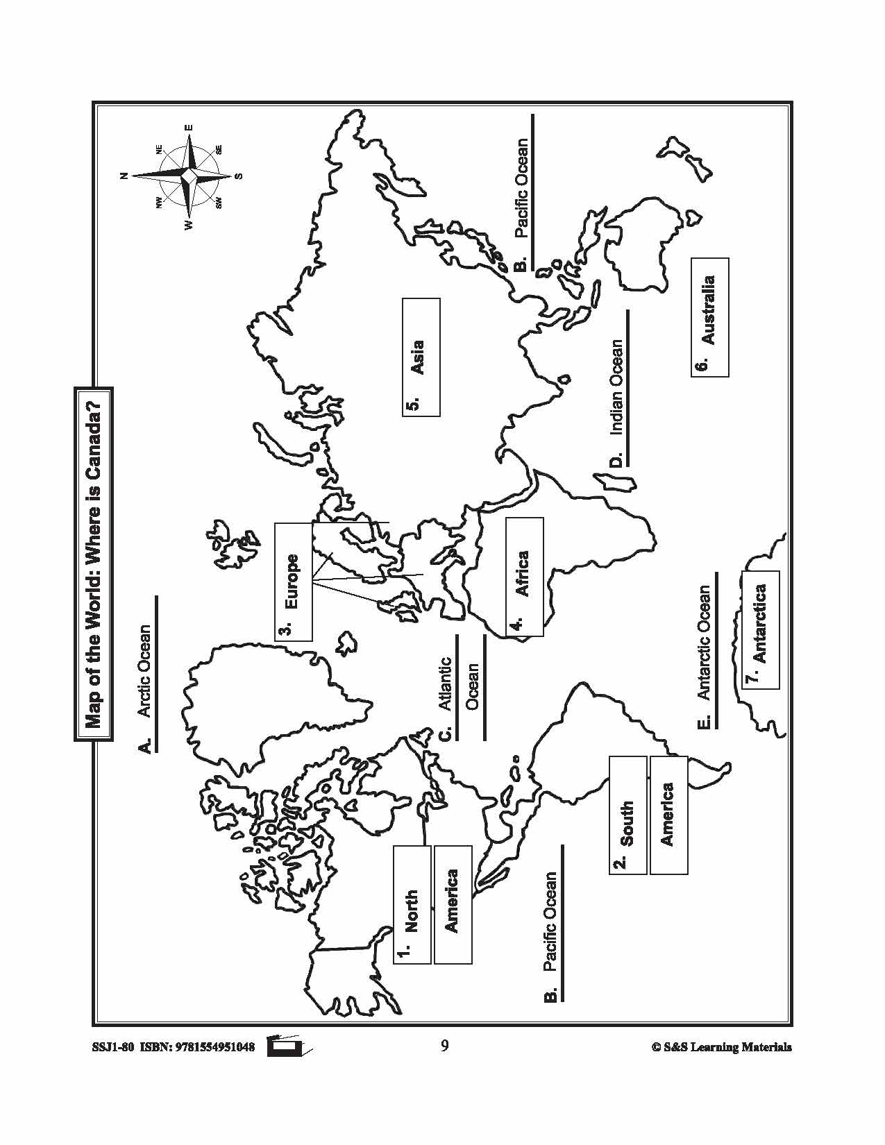
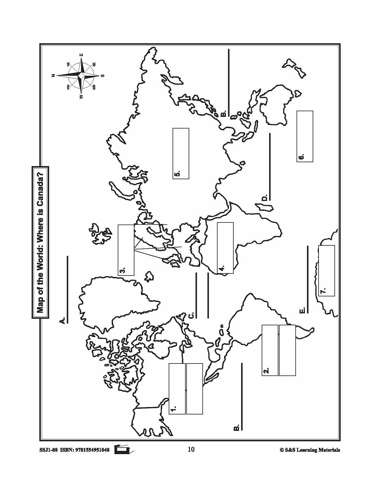
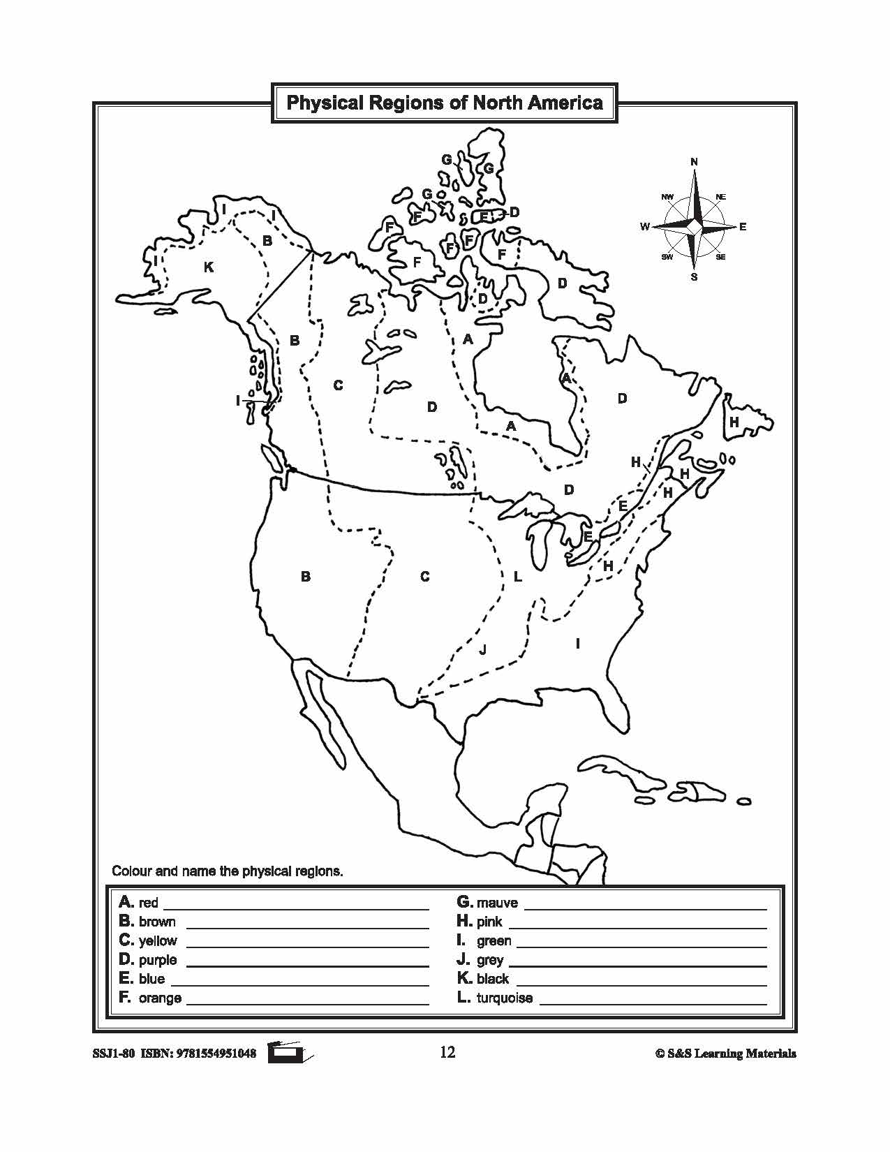
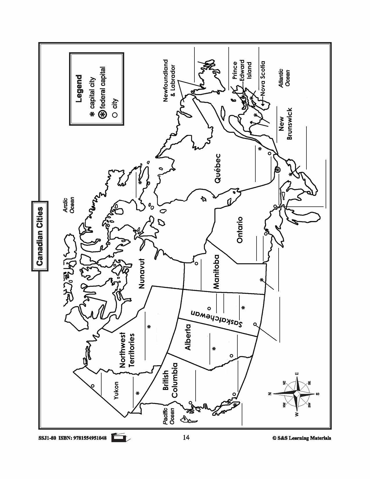
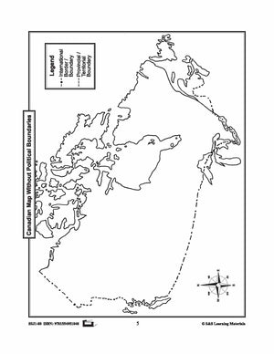
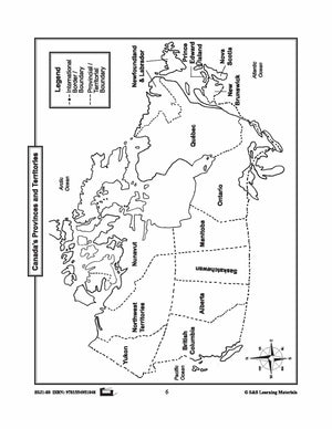
The maps can be used to teach or review the use of directions on a compass rose, symbols on a legend, and mapping terms such as border, boundary, and hemisphere.
They will help students:
- recognize the shape of Canada
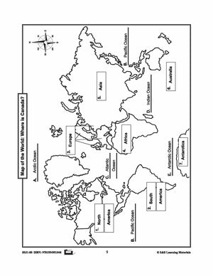
- locate Canada in North America and the World
- recognize and locate Canada's provinces, territories, oceans, main bodies of water, capital cities and inhabited locations
- begin to recognize and use parallels of latitude and meridians of longitude
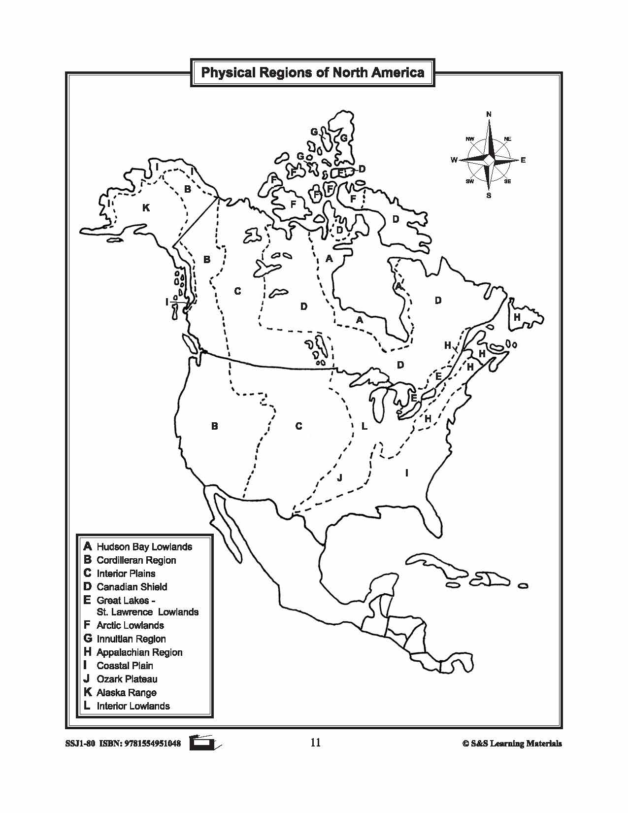
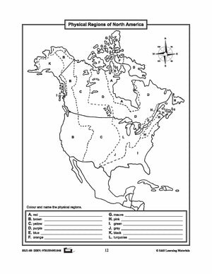
- discover landforms, rivers, and lakes in each province or territory
- provide starting points for inquiry/research on specific provinces and territories
- use of a grid on a map and discover the location of regions in Canada
13 Pages