


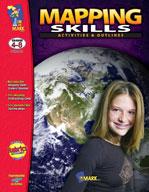

Mapping Skills: Activities & Outlines Grades 4-8
EBOTM119
$30.99 CAD
Additional information:
- Author : Solski, Ruth/Solski, Lisa
50 Lessons help improve mapping skills. This resource provides in-depth coverage of the skills needed in map reading: north-south-east-west, legend, scale, longitude and latitude. Plus over 50 up-to-date maps of countries and regions of the world. 128 pages
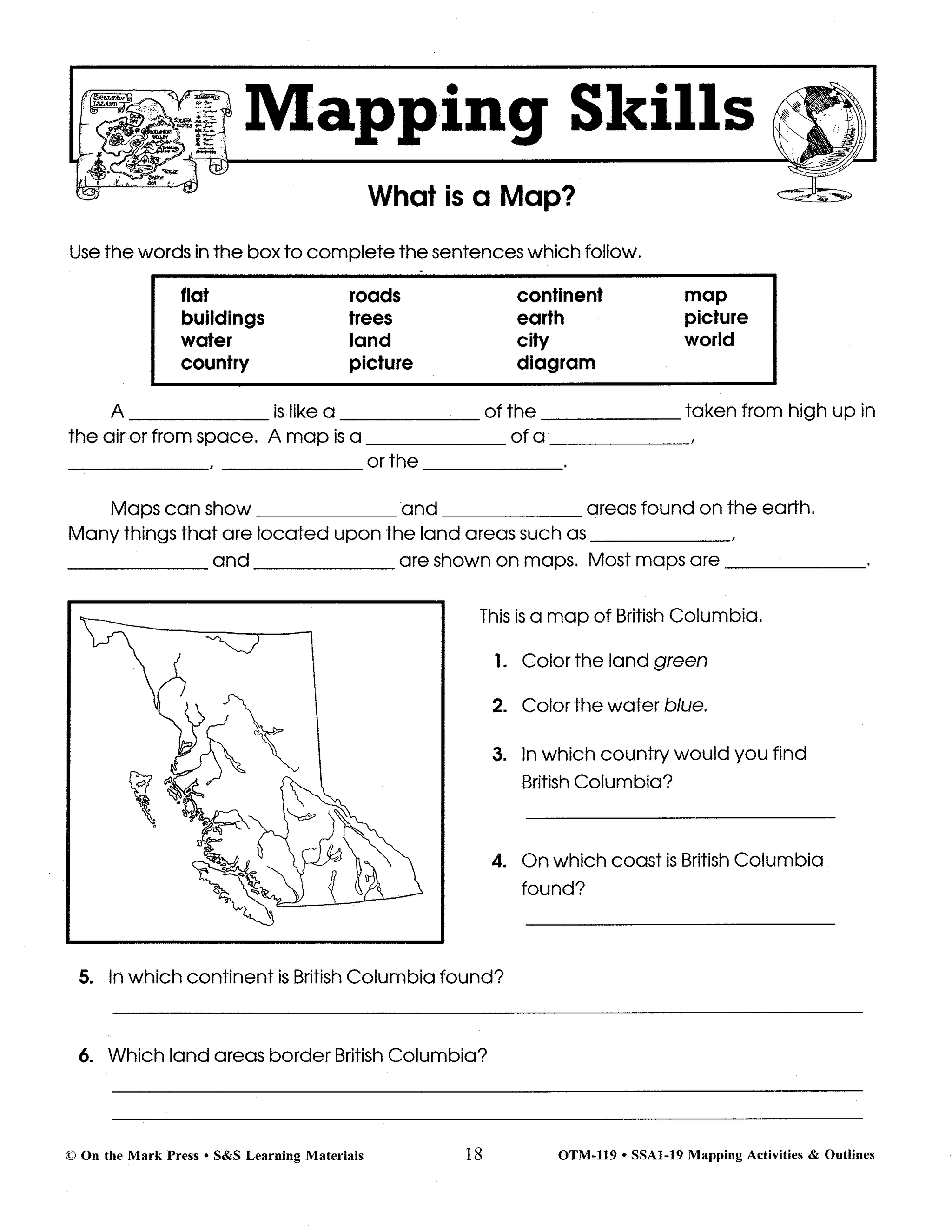
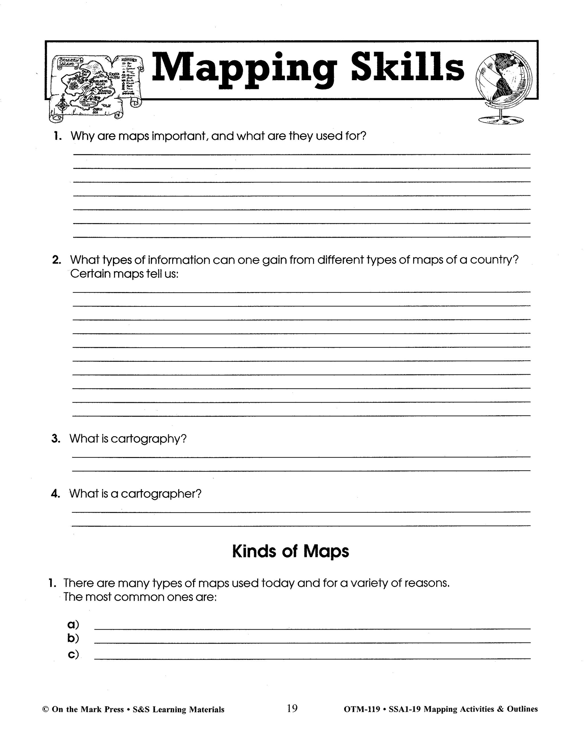
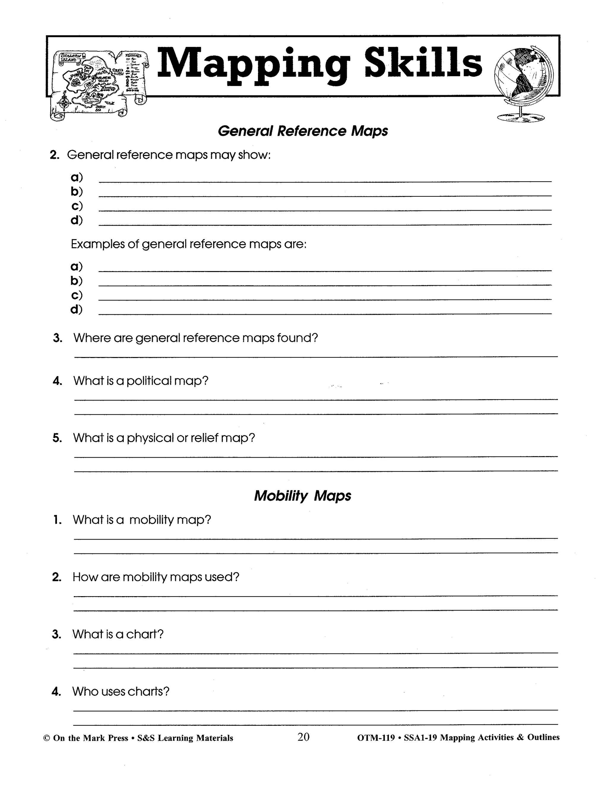
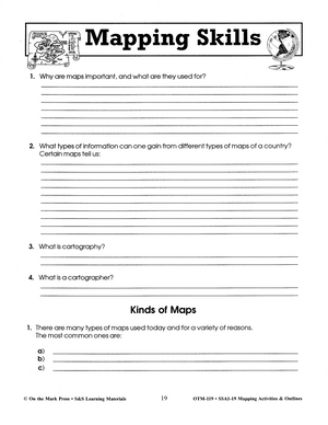
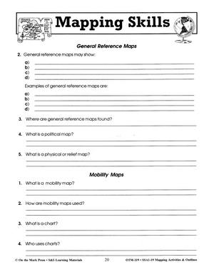
Learning and Practicing Mapping Skills
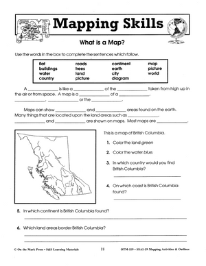
Provide in-depth coverage of the skills needed in map reading. Students make maps of their classroom, school, and Neighborhood. They will learn to locate places on a map, to find countries using coordinates, and locate themselves on a map. The 22 hands-on mapping activities give students a wide variety of knowledge and challenges. 64 pages
For the Student:
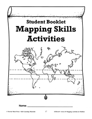
- A Mapping Skills Student Booklet
- 20 Basic Mapping Skills Activity Cards
- 10 World Mapping Skills Activity Cards
- 2 Mapping Word Study Activities
For the Teacher:
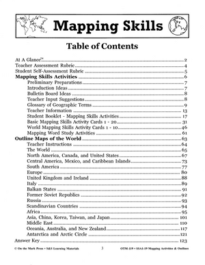
- At A Glance – list of skills covered
- Teacher Assessment Rubric
- Student Self-Assessment Rubric
- Preliminary Preparations
- Introduction Ideas
- Bulletin Board Ideas
- Teacher Input Suggestions
- Glossary of Geographic Terms
- Teacher Information
Over 50 Outline Maps:
This resource contains up-to-date maps of countries and regions of the world. It is designed to supplement geography studies. Includes illustrations of world continents, countries, and bodies of water. 64 pages including an answer key.
Maps Include:
· The World
· North America
· Canada
· United States
· Central America
· Mexico
· Caribbean Islands
· South America
· Europe
· United Kingdom and Ireland
· Italy
· Baltic States
· Balkan States
· Former Soviet Republics
· Russia
· Scandinavia
· Africa
· Asia
· Far East
· China
· Korea
· Taiwan
· Japan
· Middle 50
· Oceania
· Australia and New Zealand
· Antarctica
· Arctic Circle