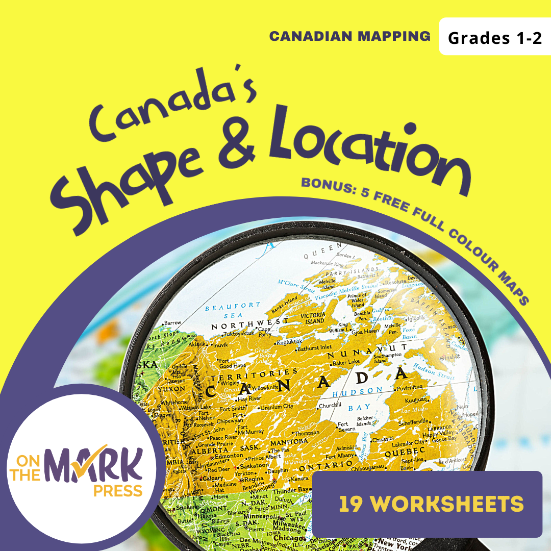
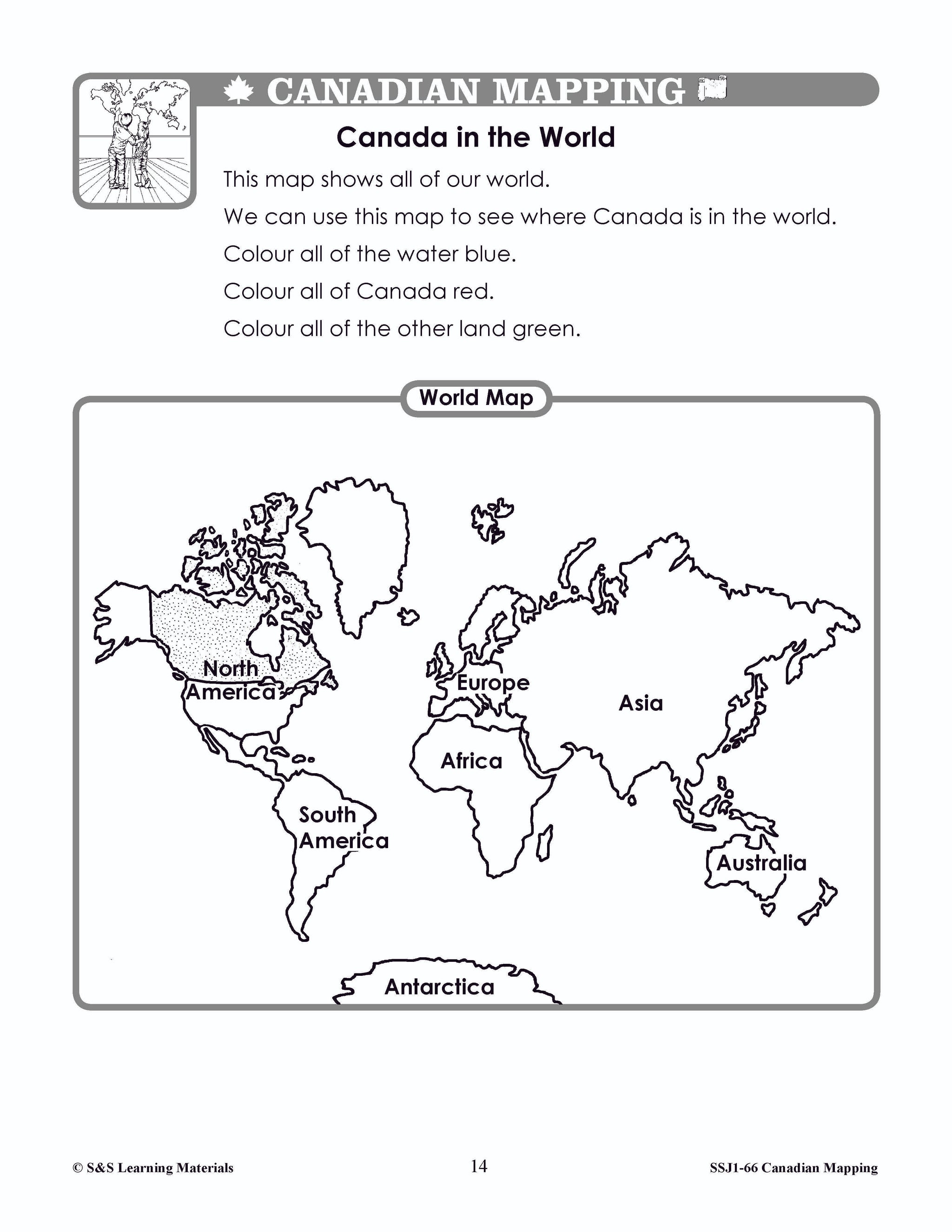
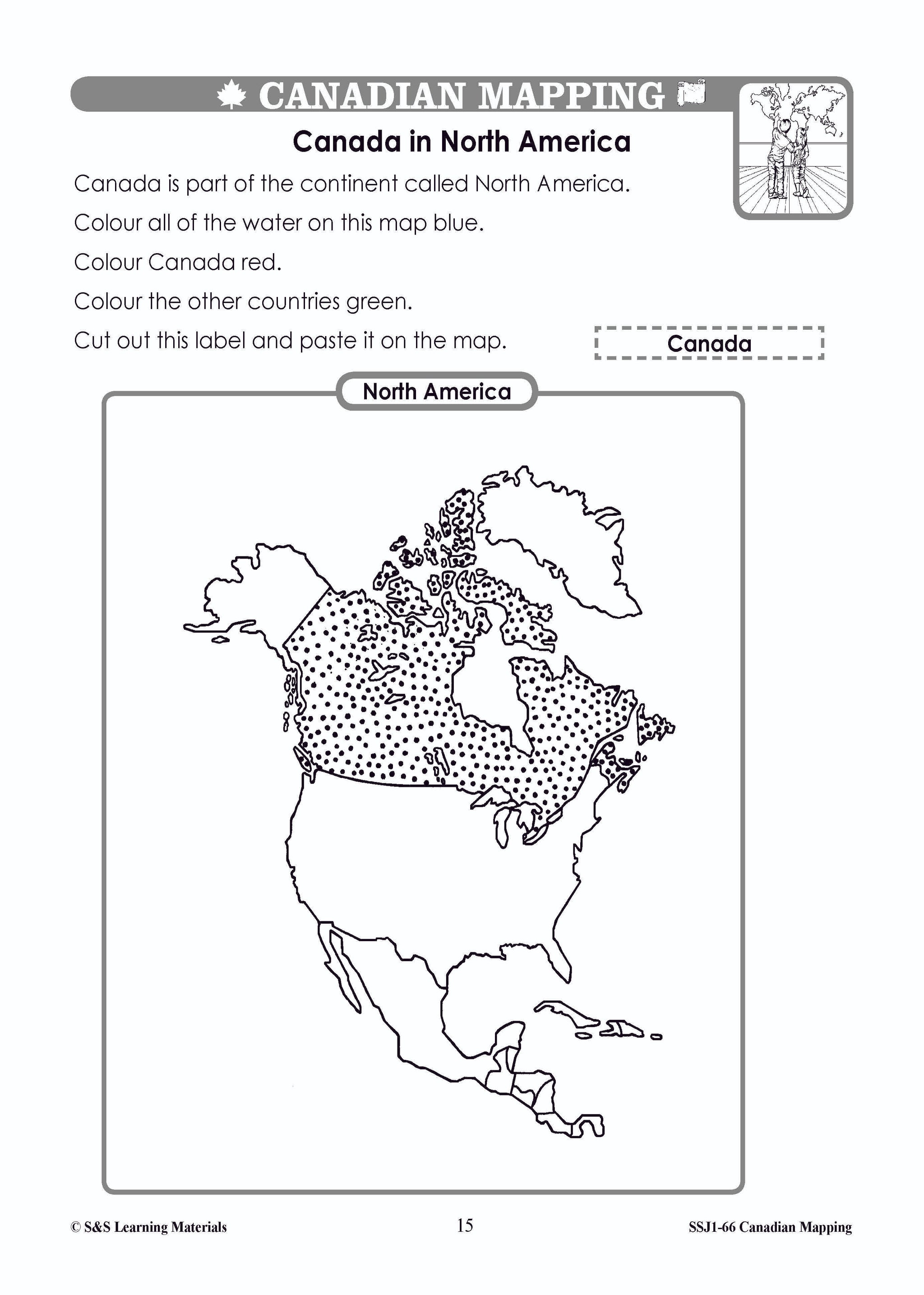
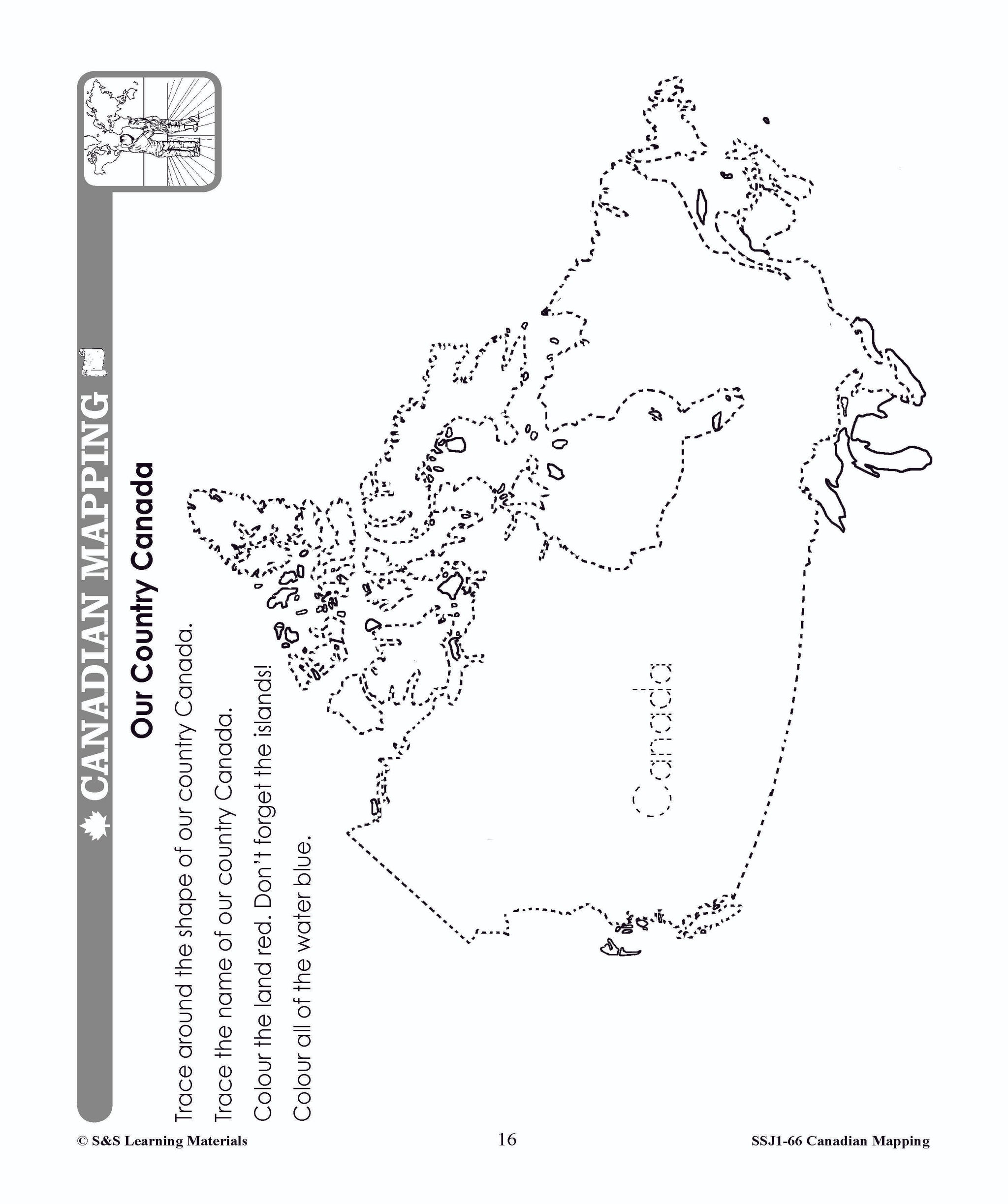
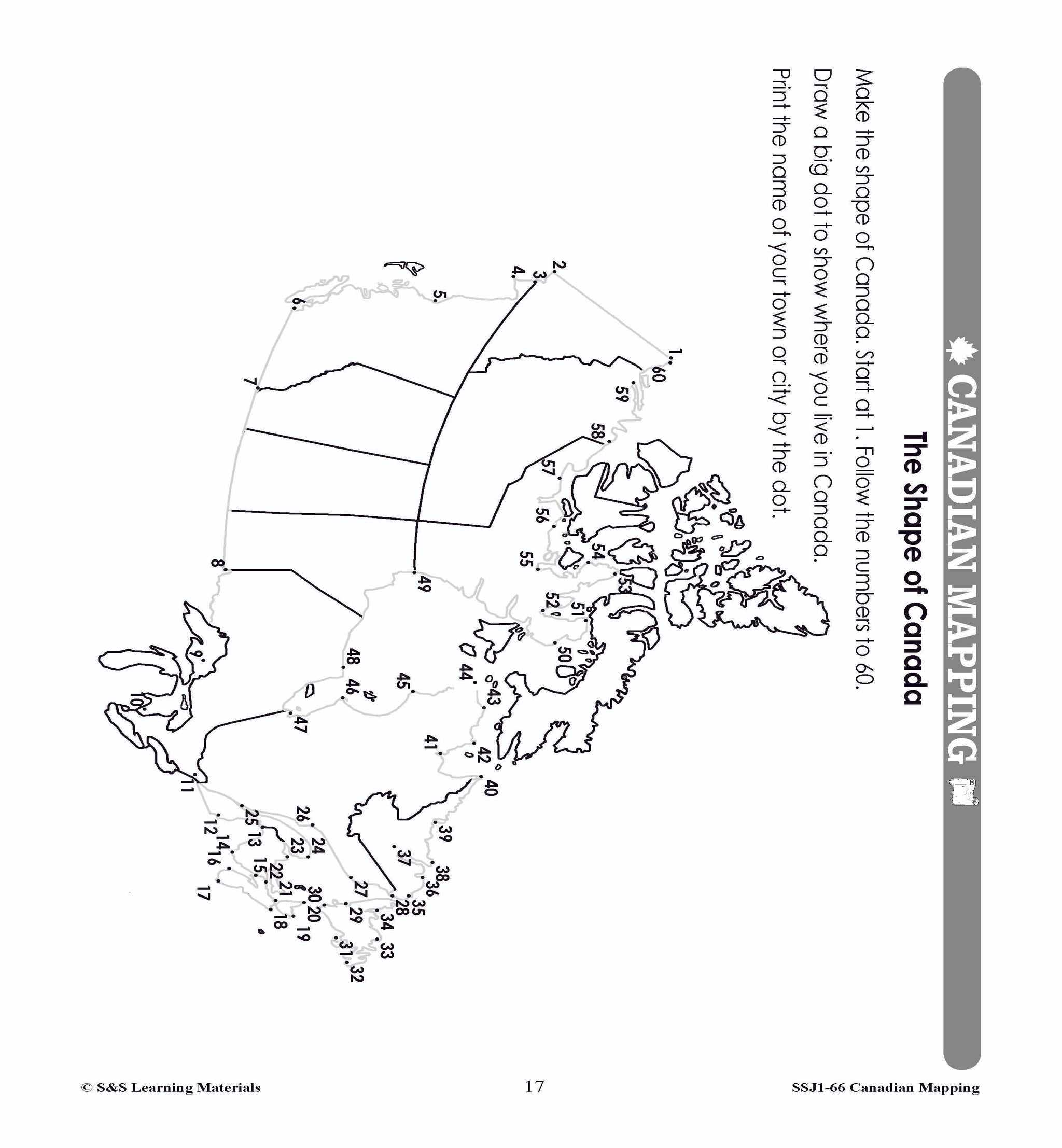
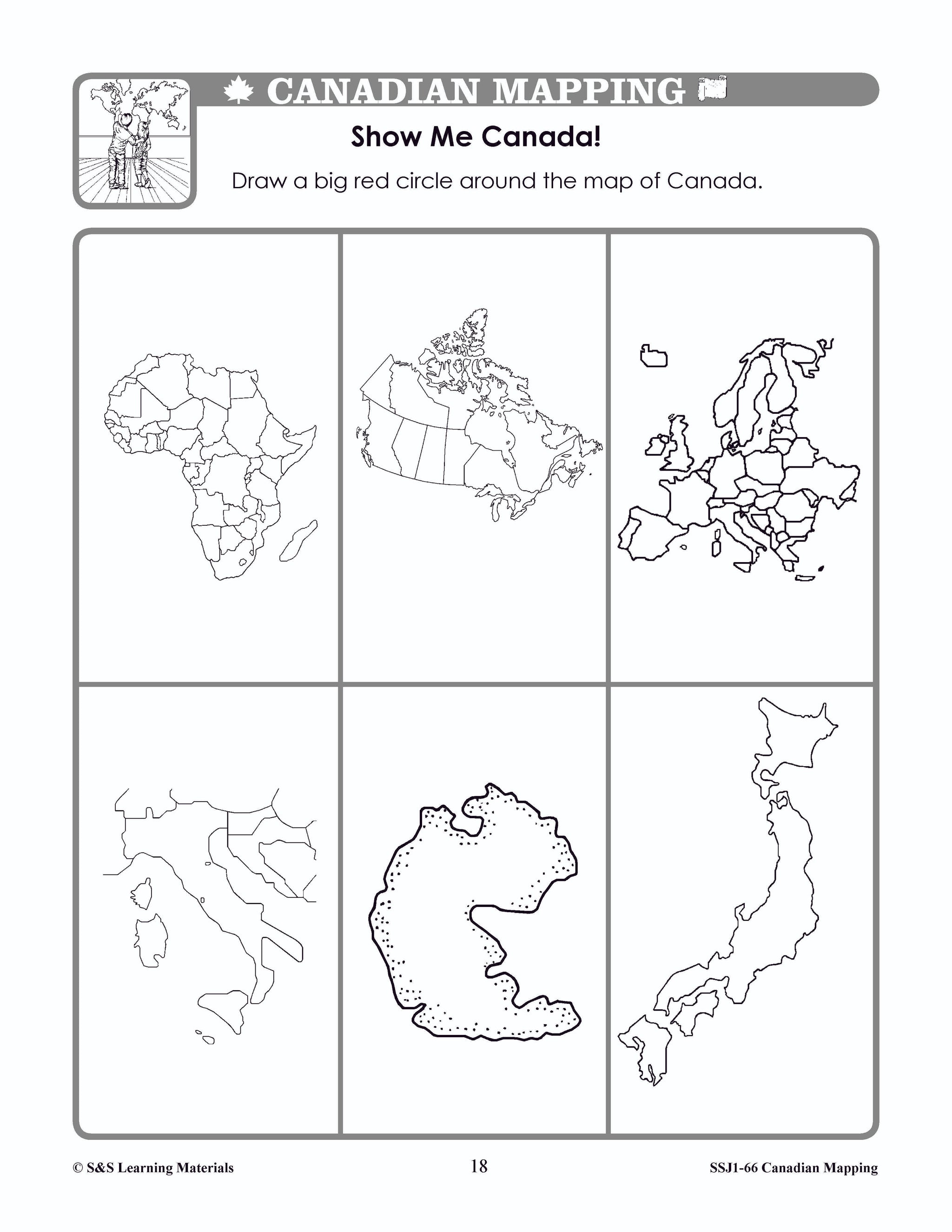
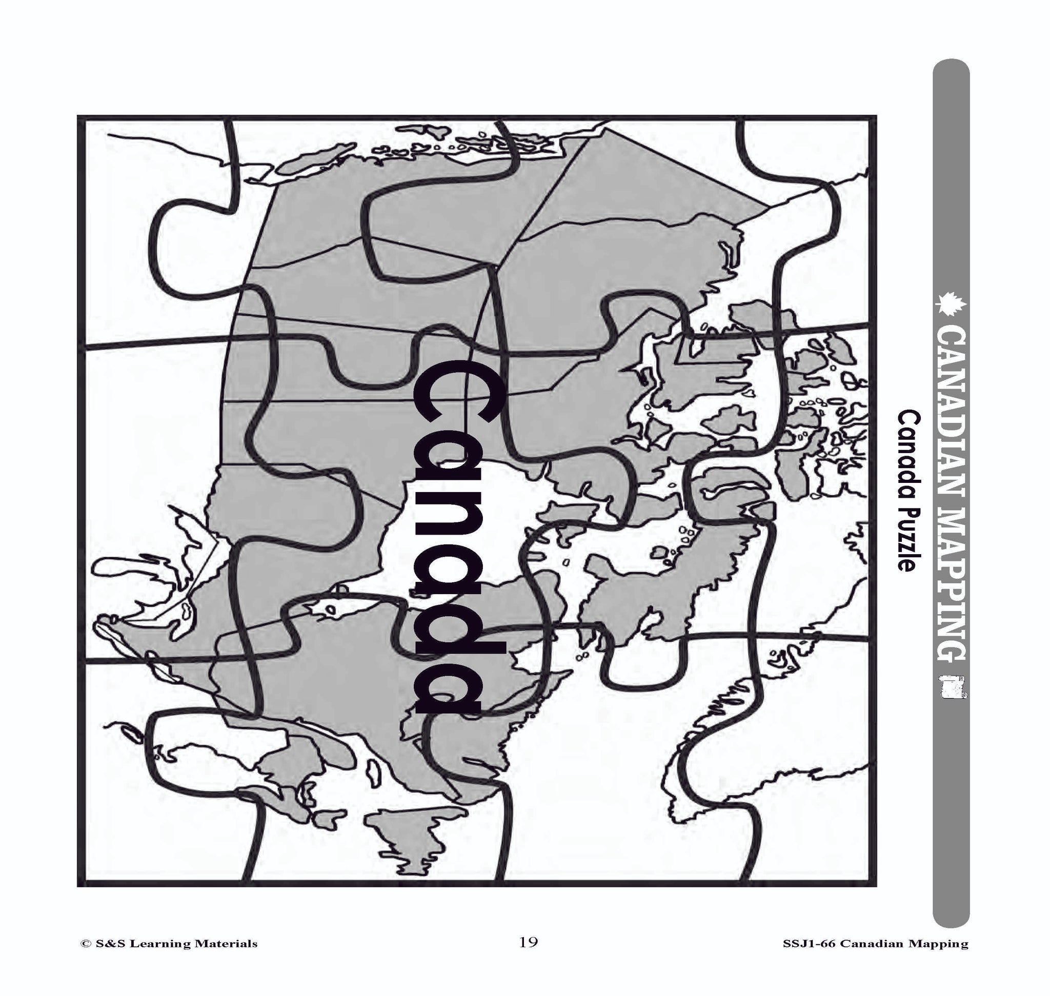
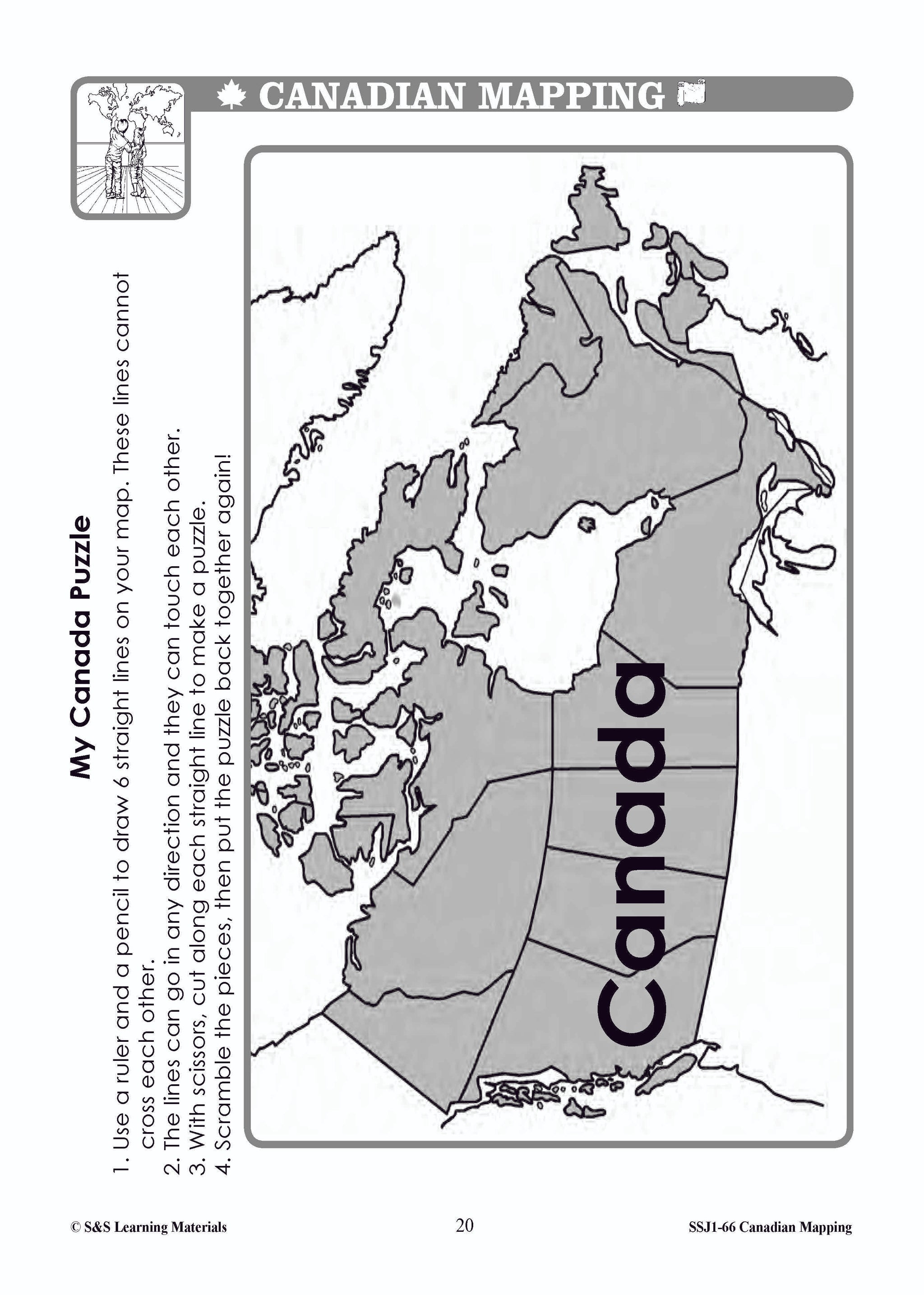
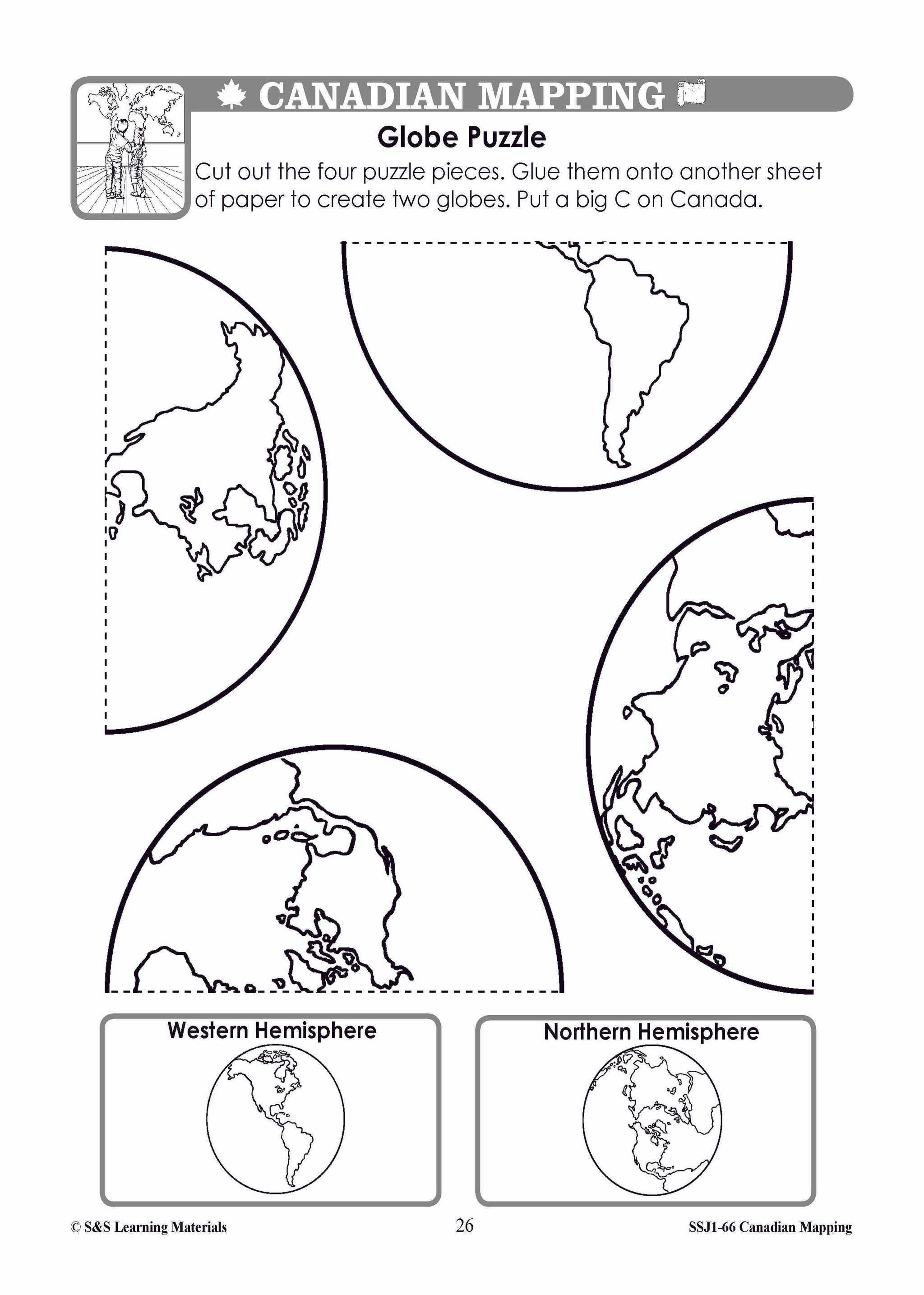
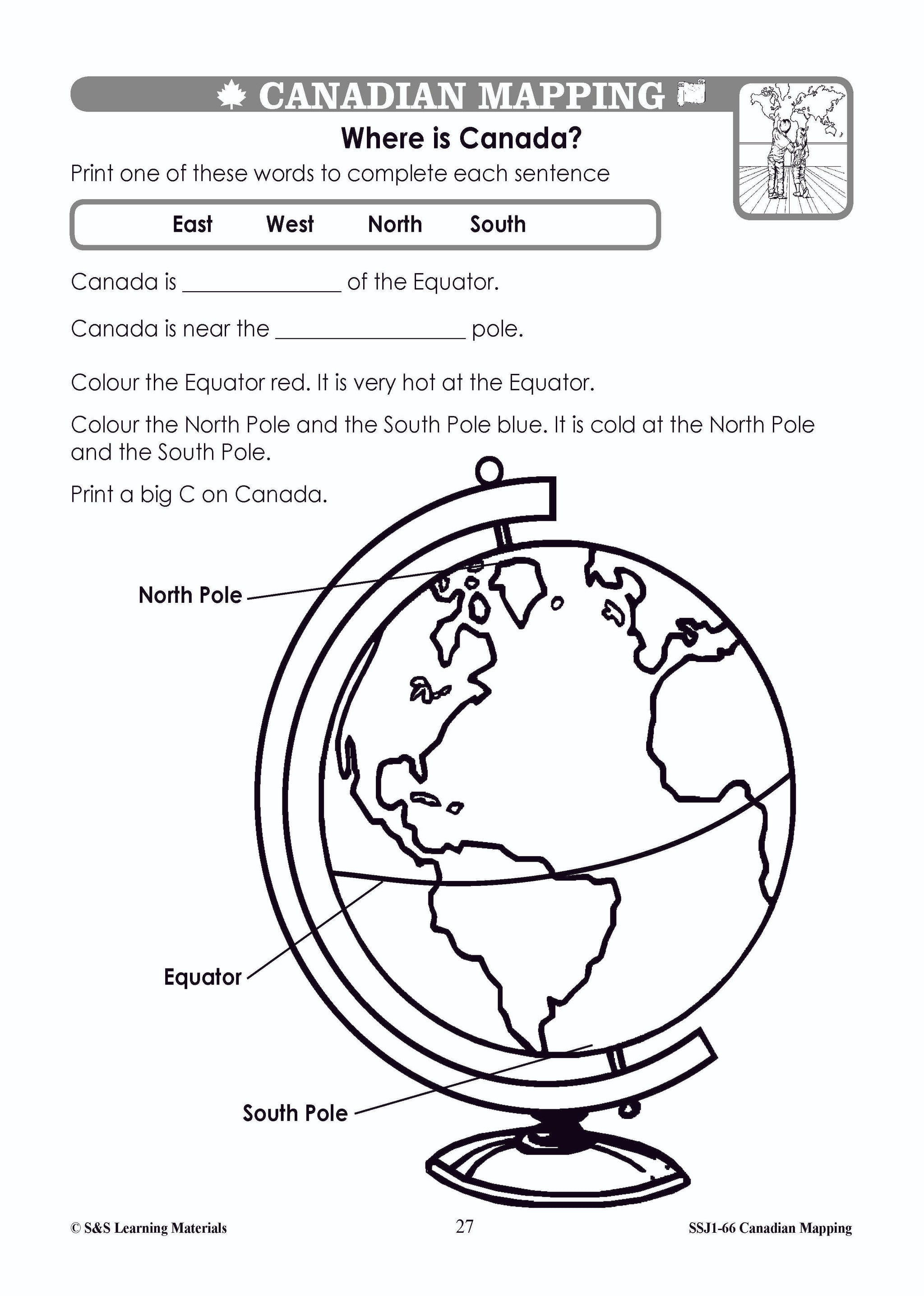
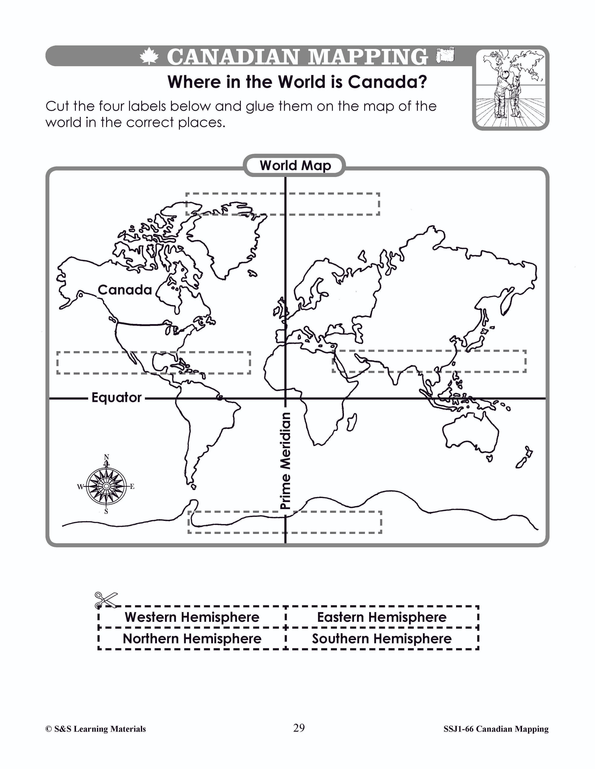
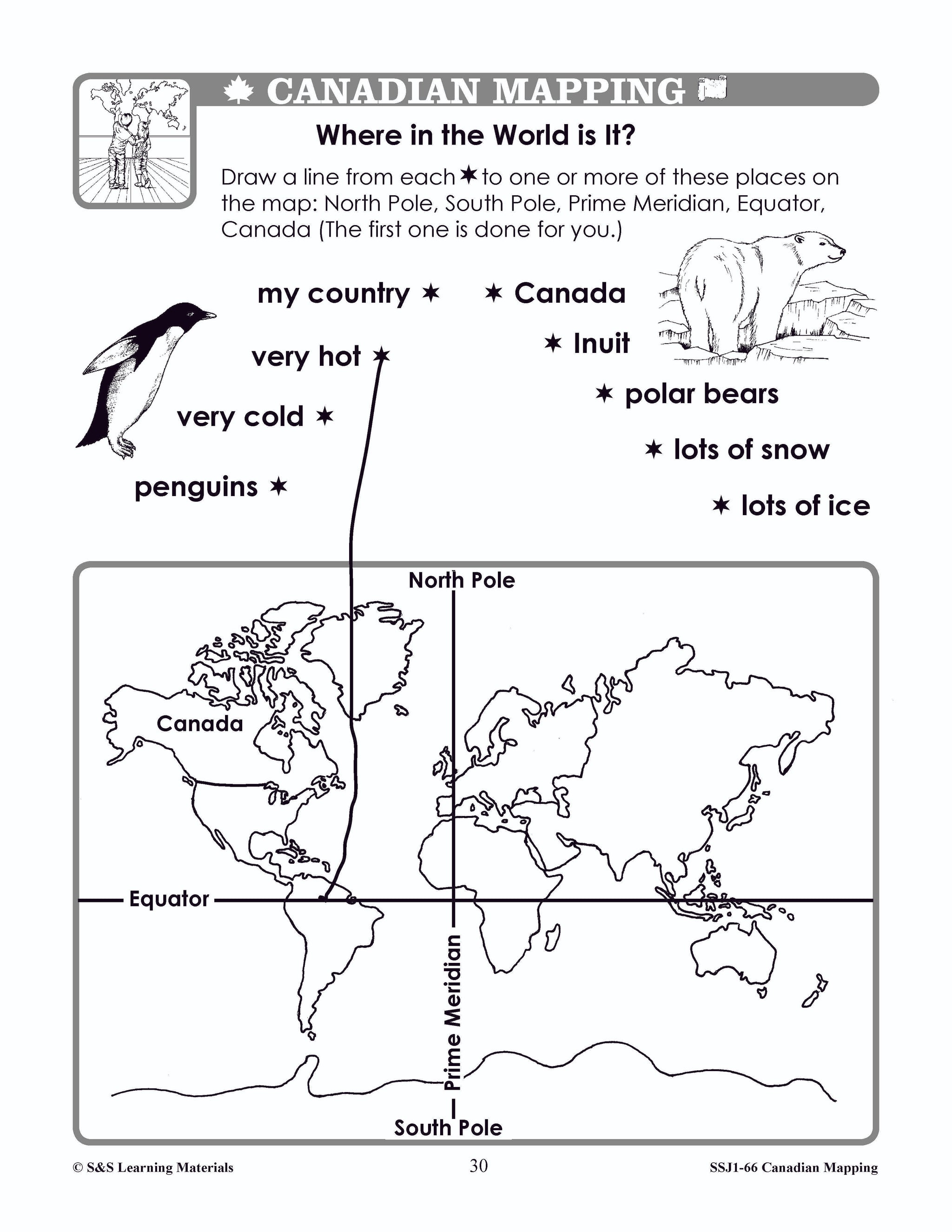
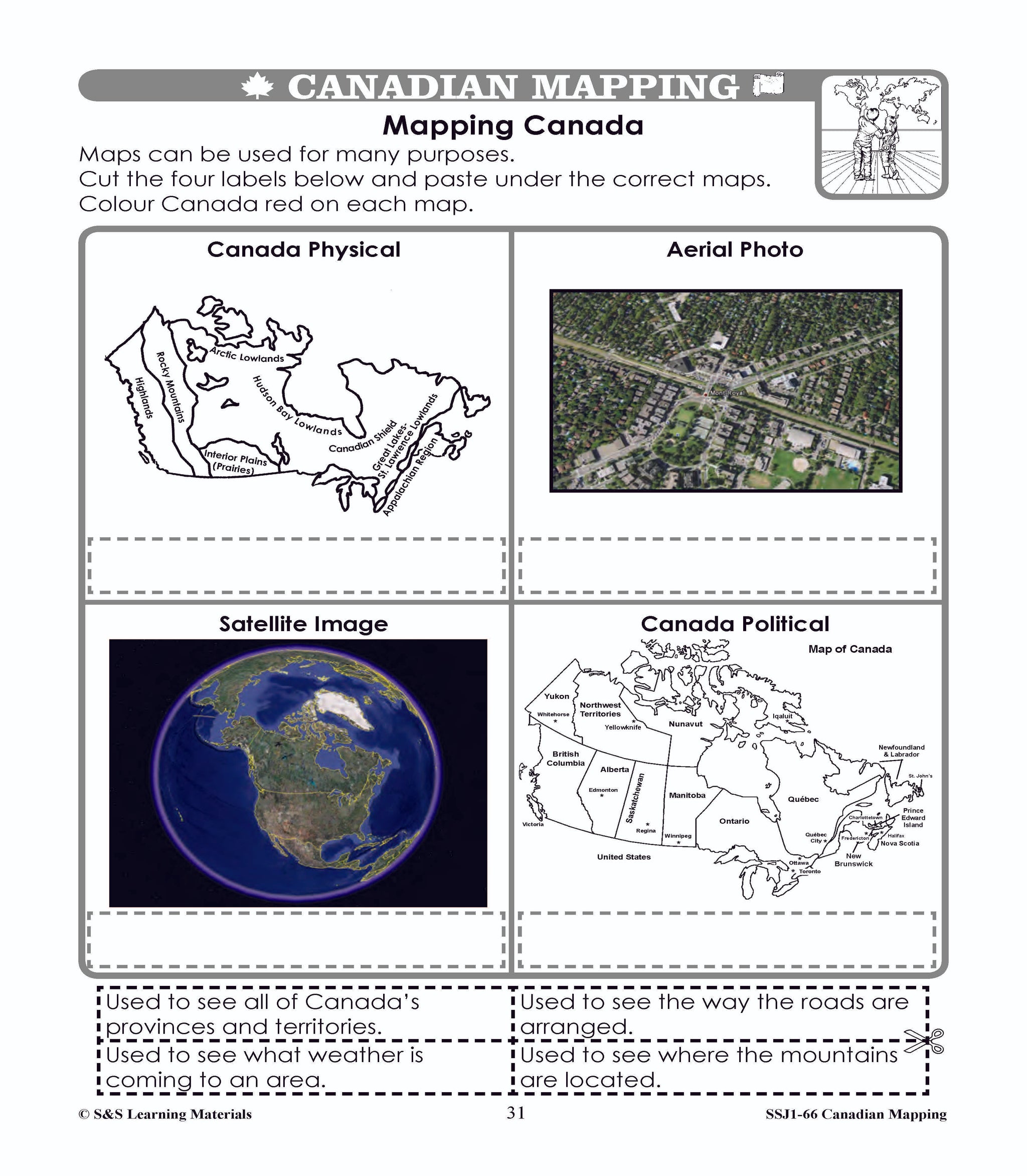
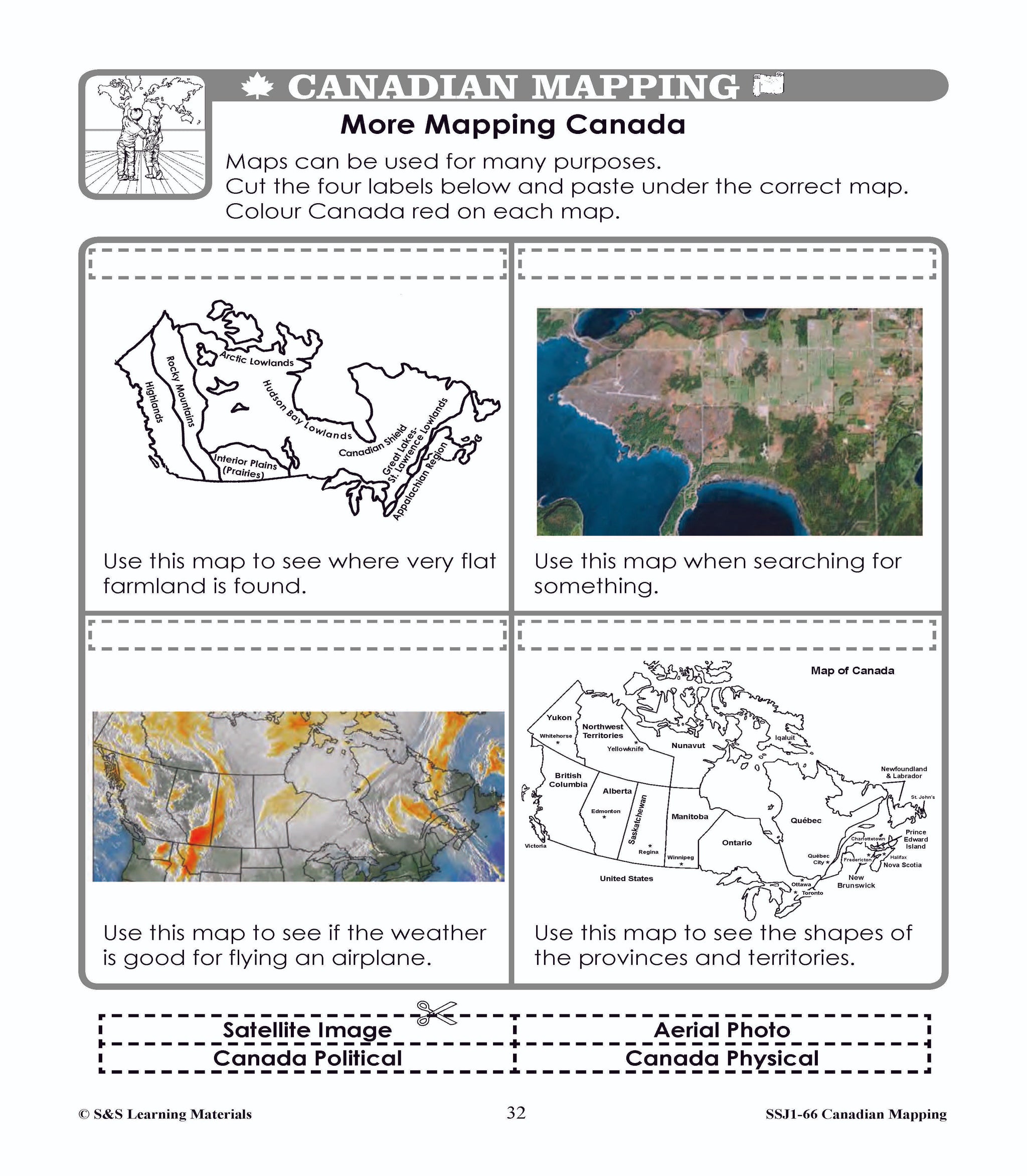
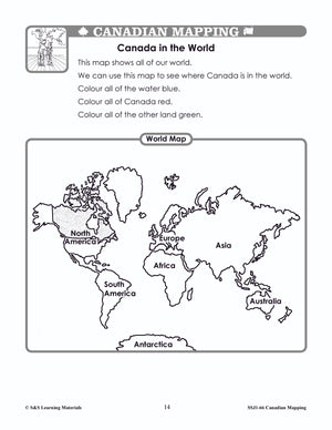
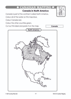
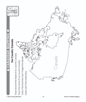
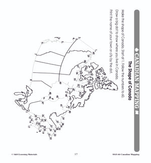
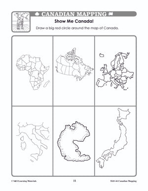
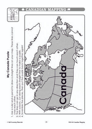
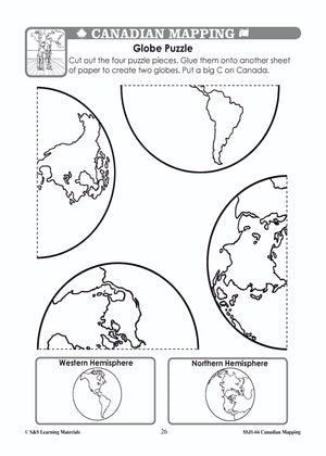
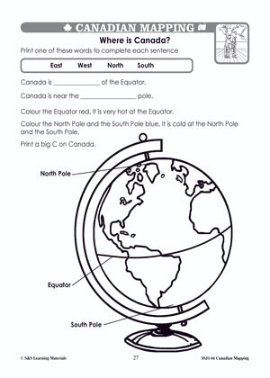
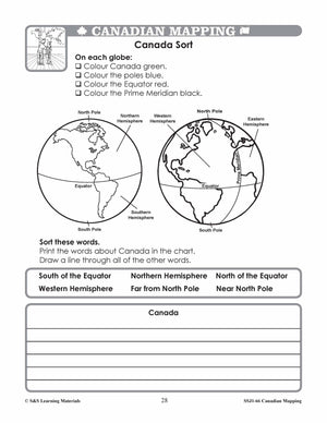
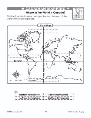
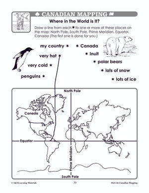
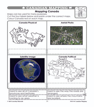
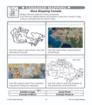
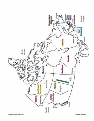
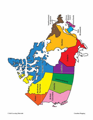
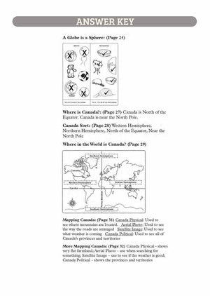
Students will learn about Canada's Shape & Location with the nineteen mapping worksheets.
Teacher information on these topics: what a map is, types of maps, how to read a map, map indexes, hemispheres, directional indicators, and map symbols. The glossary of geographic terms can be used to introduce the topic in a group. Helpful teacher notes are included for specific worksheets.
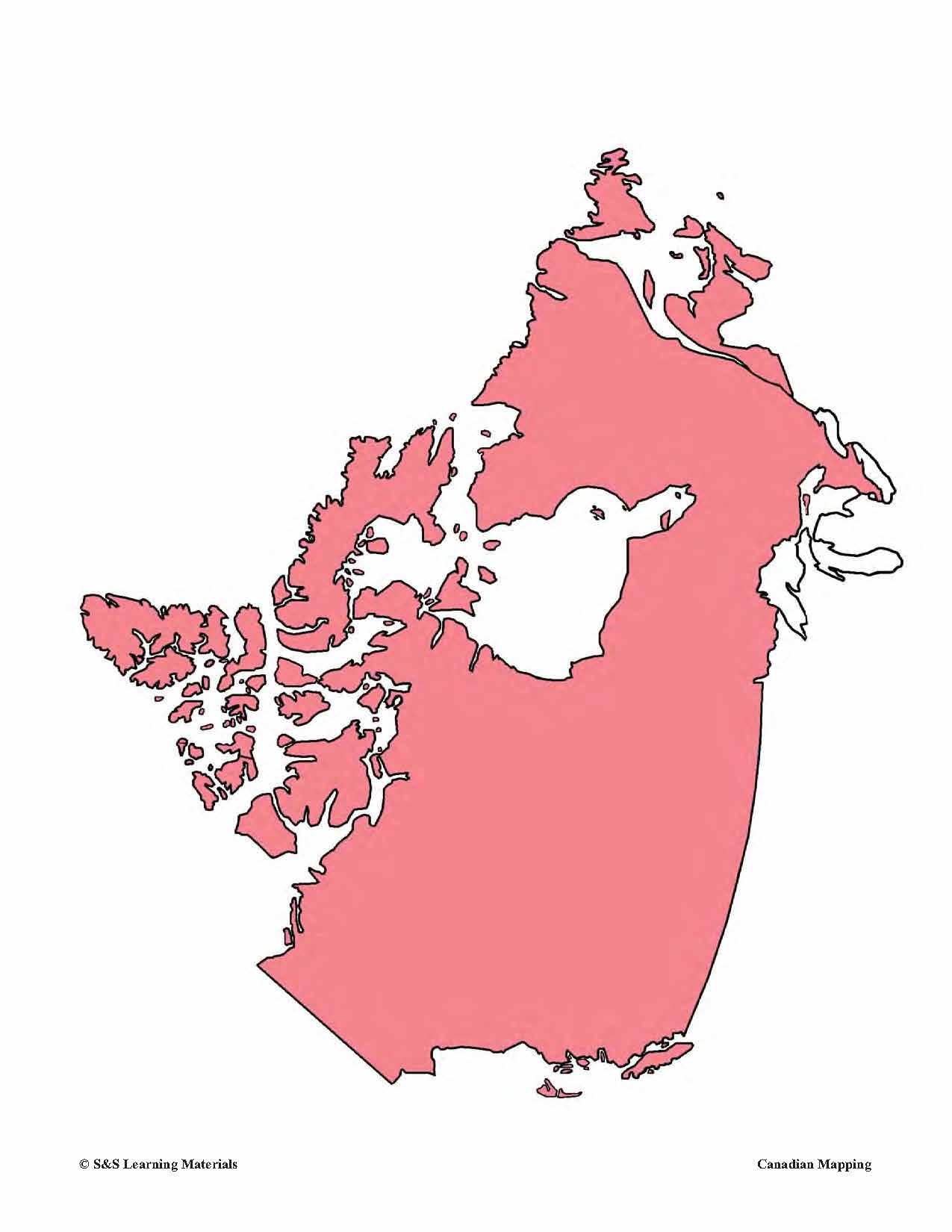
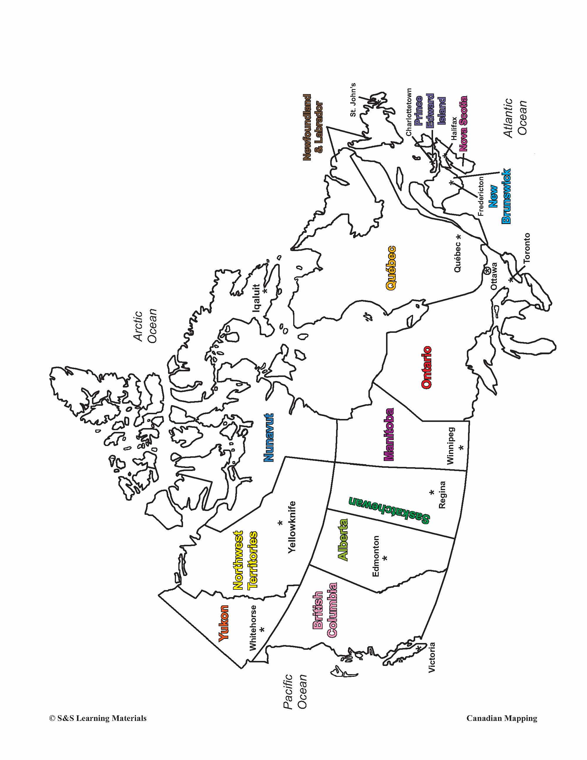
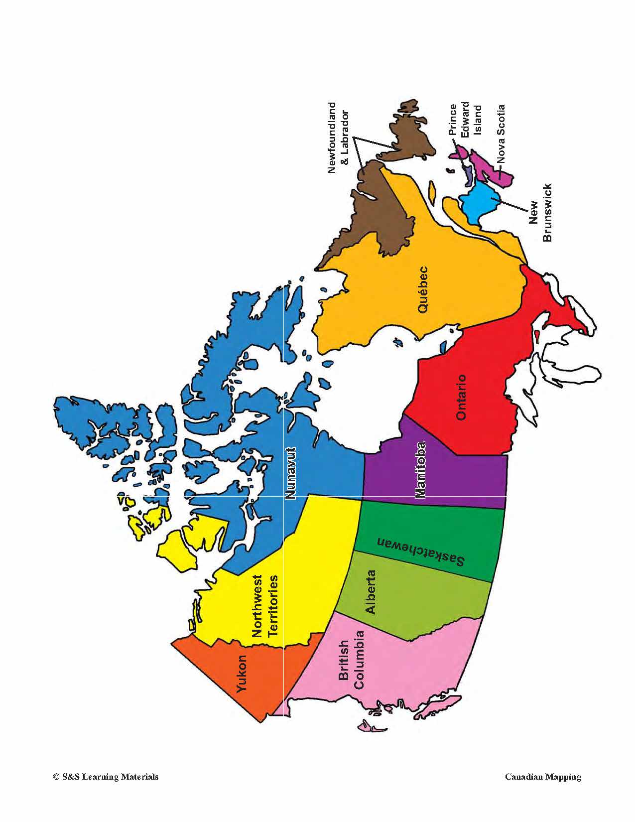
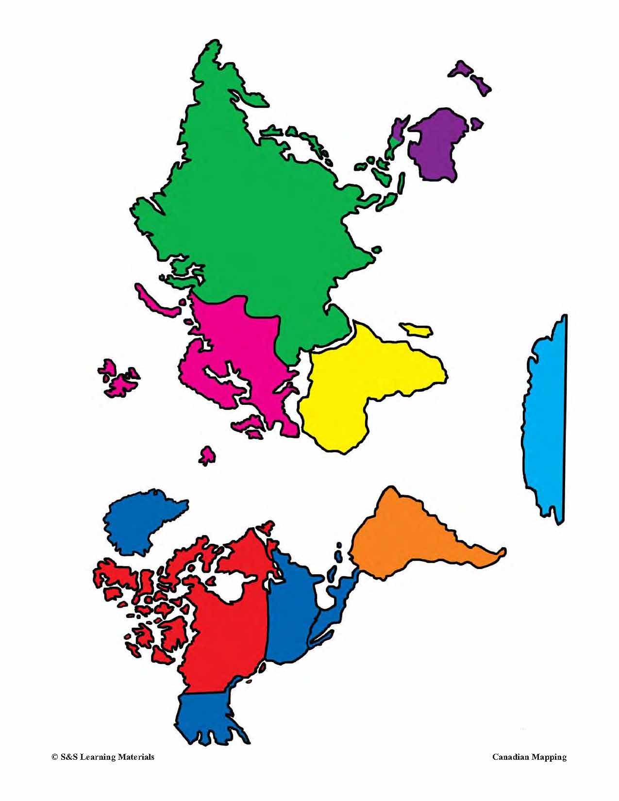
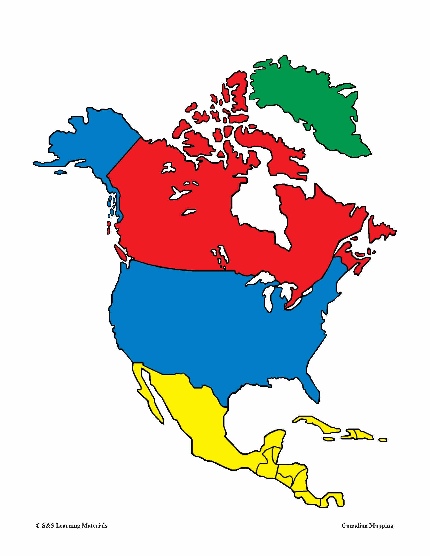
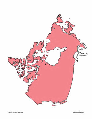
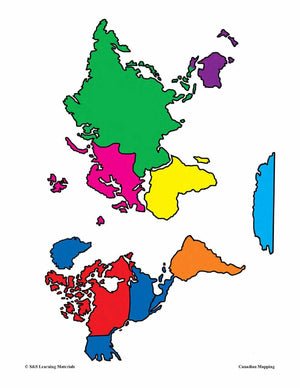
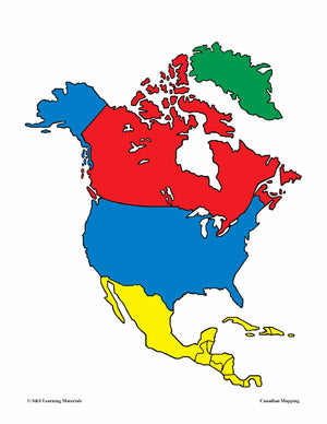
Bonus: Five Full-Colour Maps! (Outline Map of Canada, two Political Maps of Canada, Outline map of the World and North America)