Cartes Geograph & Symboles du Canada Collection d'image 1-8 Annee
EBPC15
$13.99 CAD
Additional information:
- Author : S&S Learning Materials
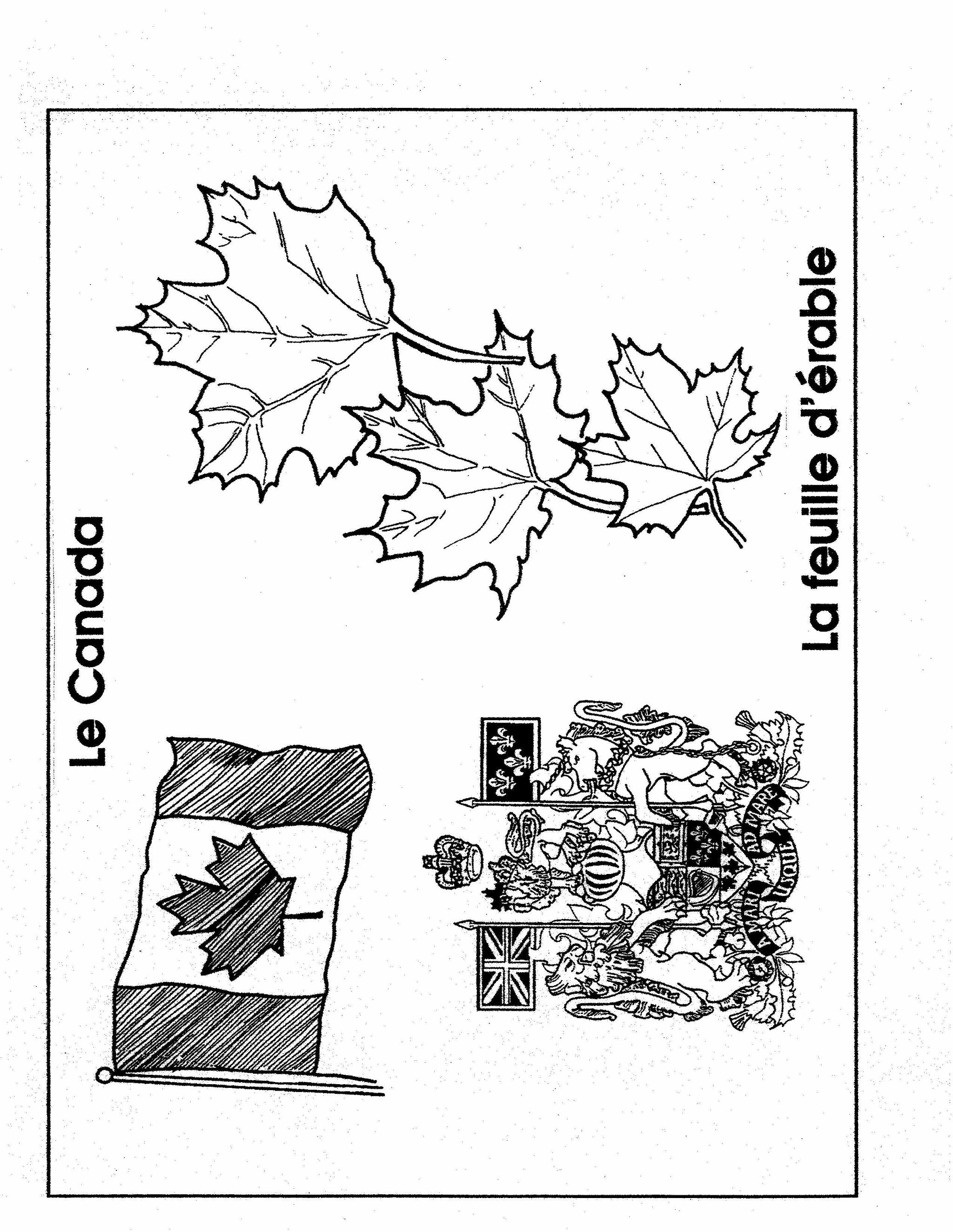
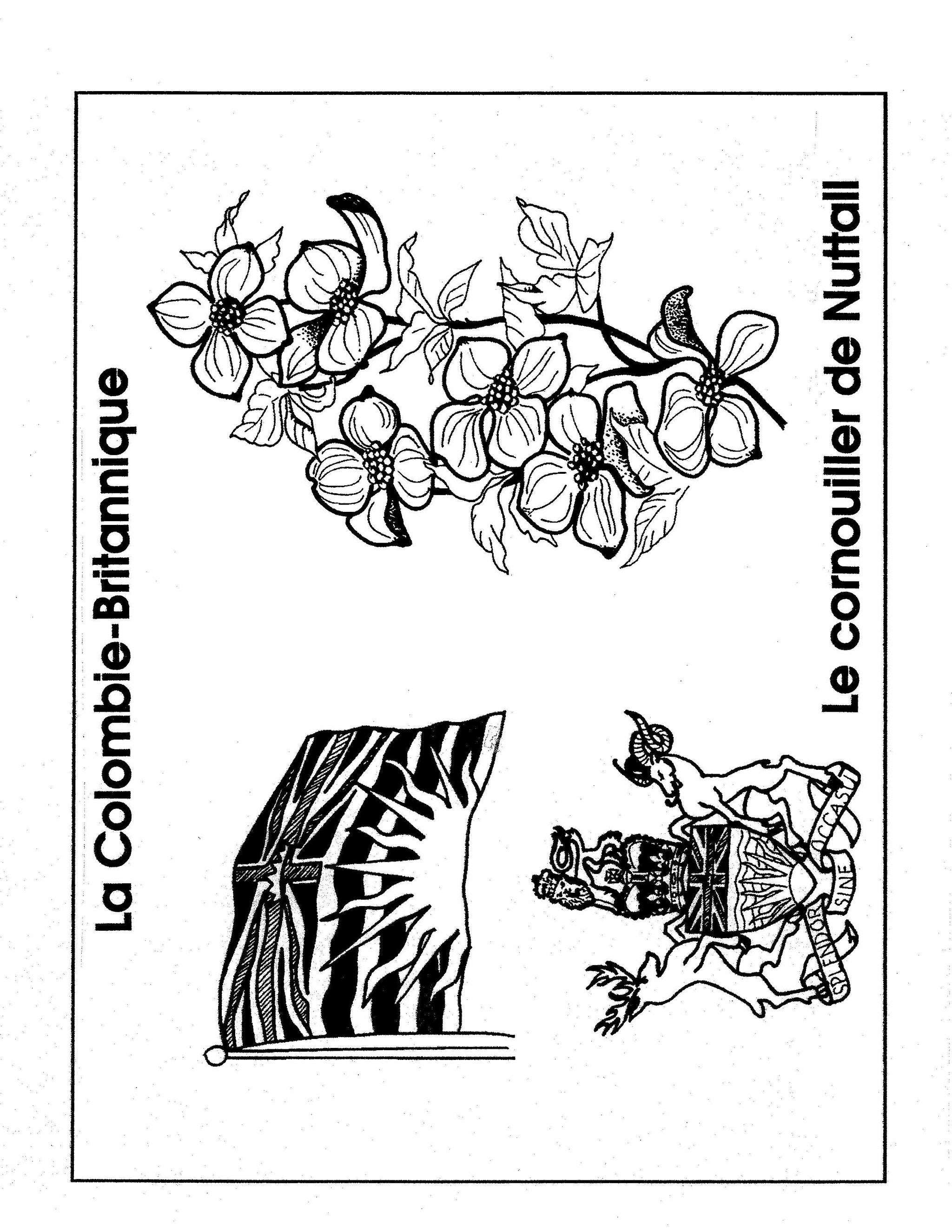
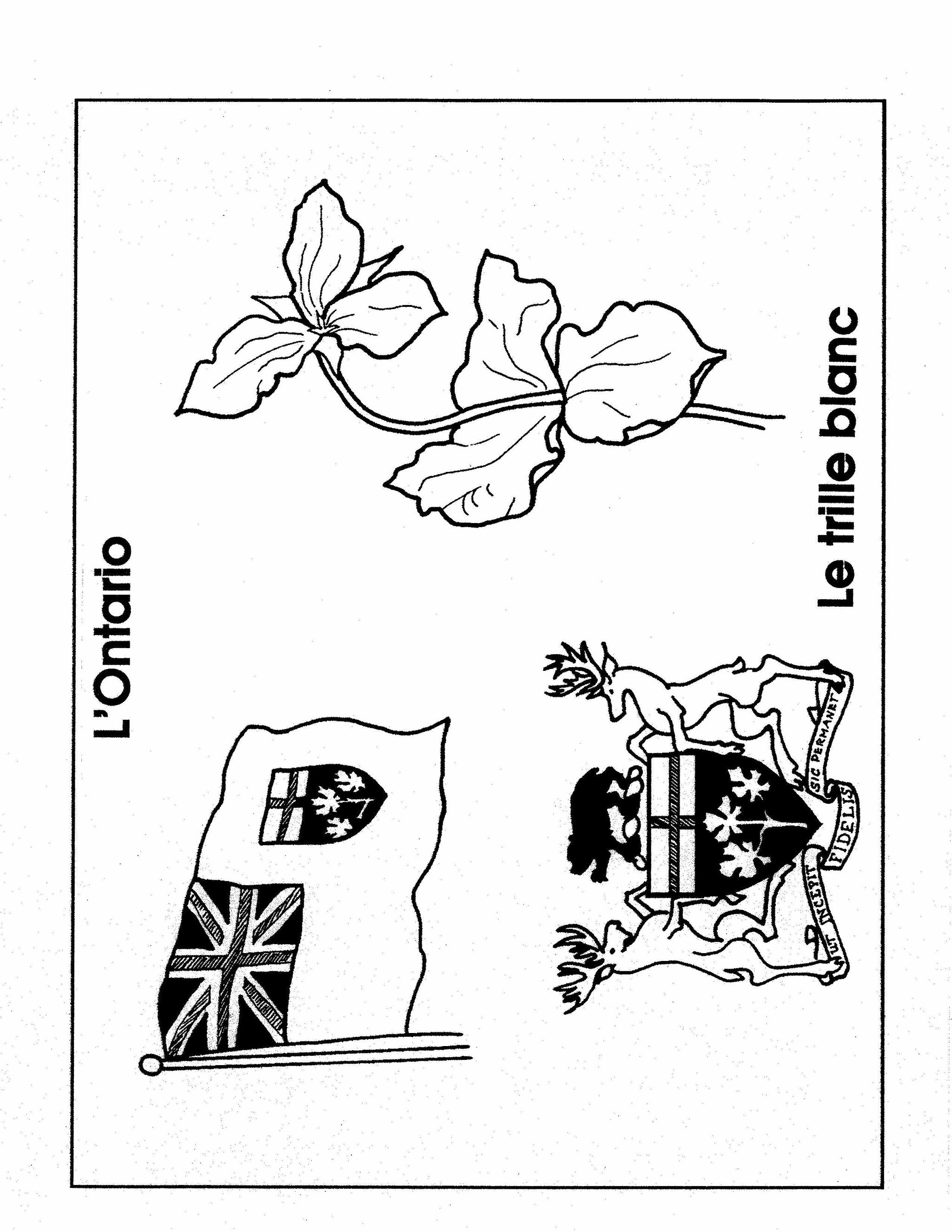
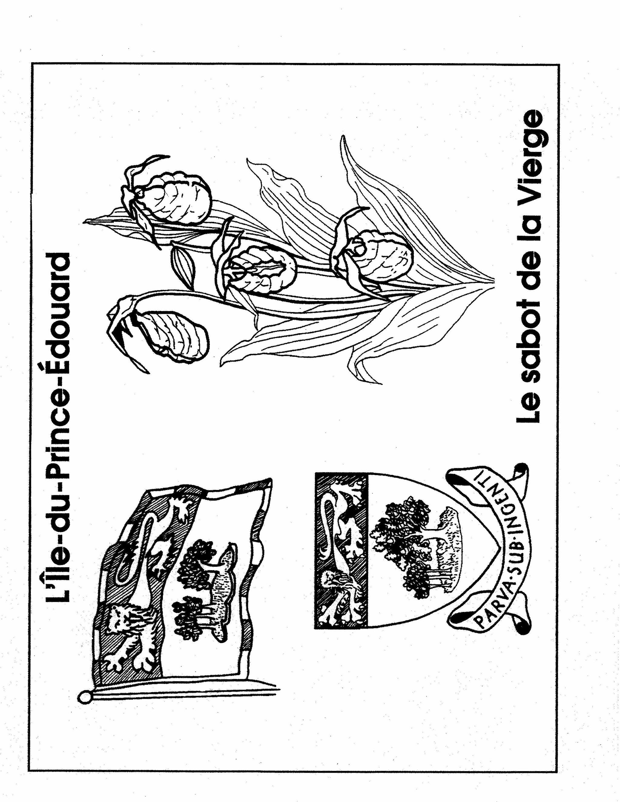
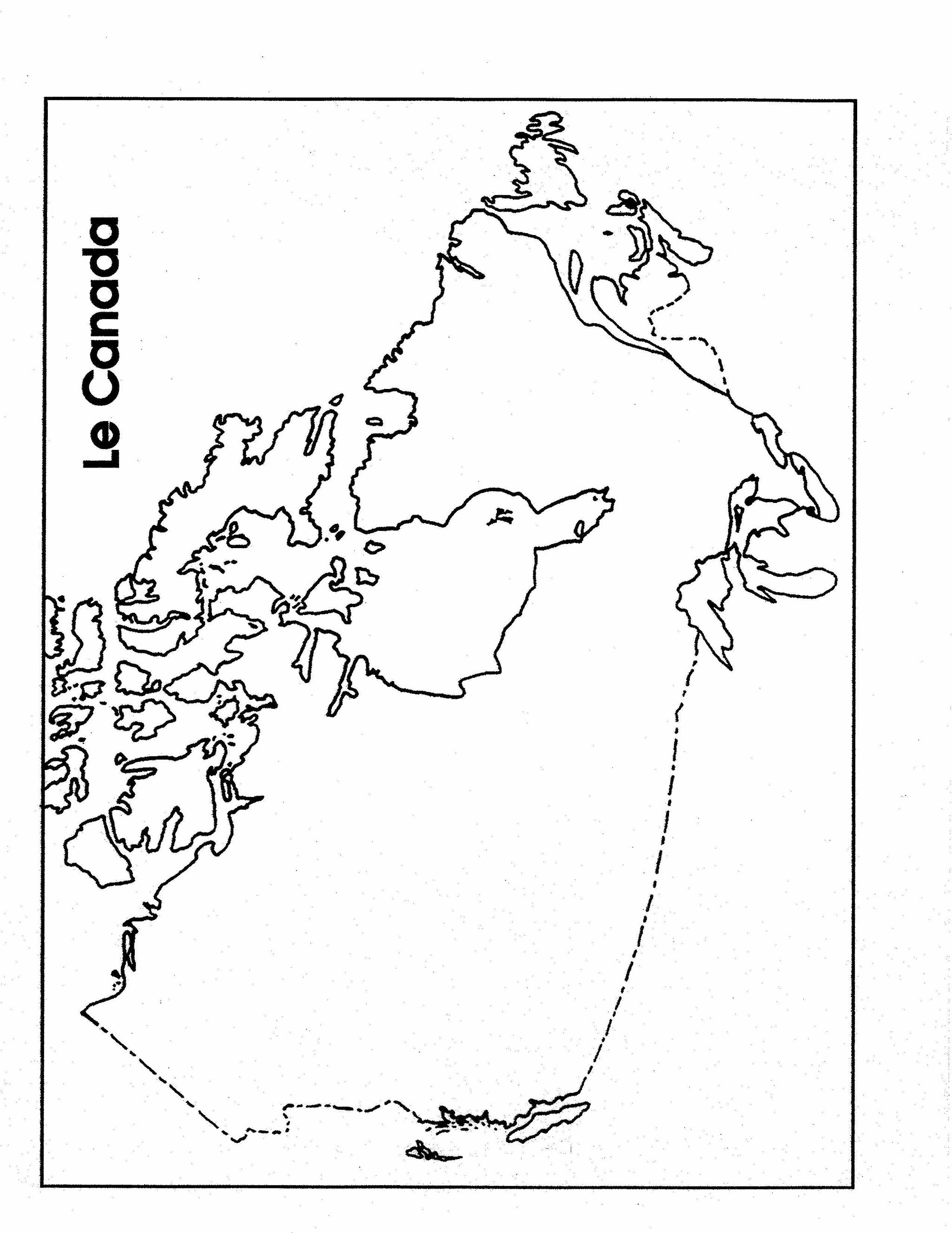
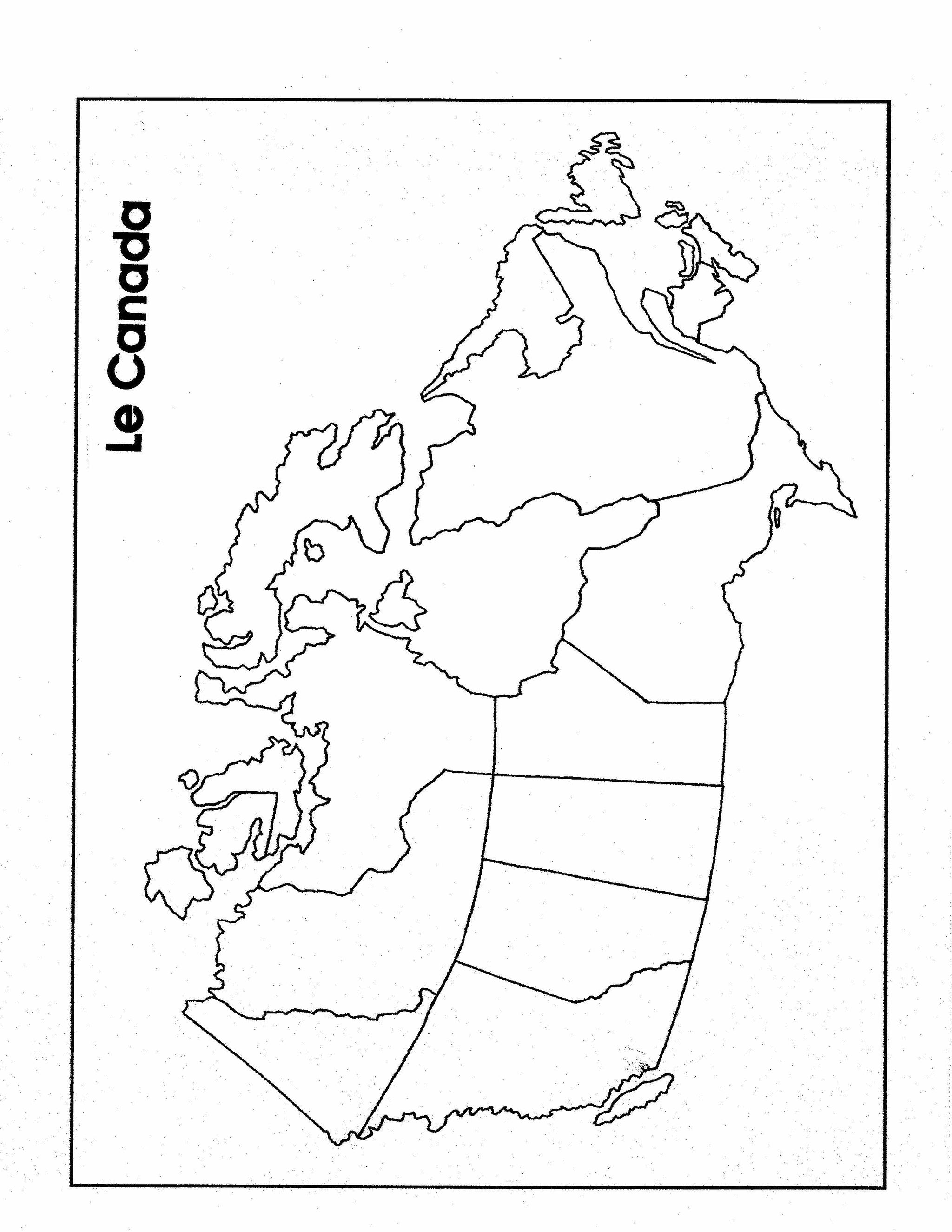
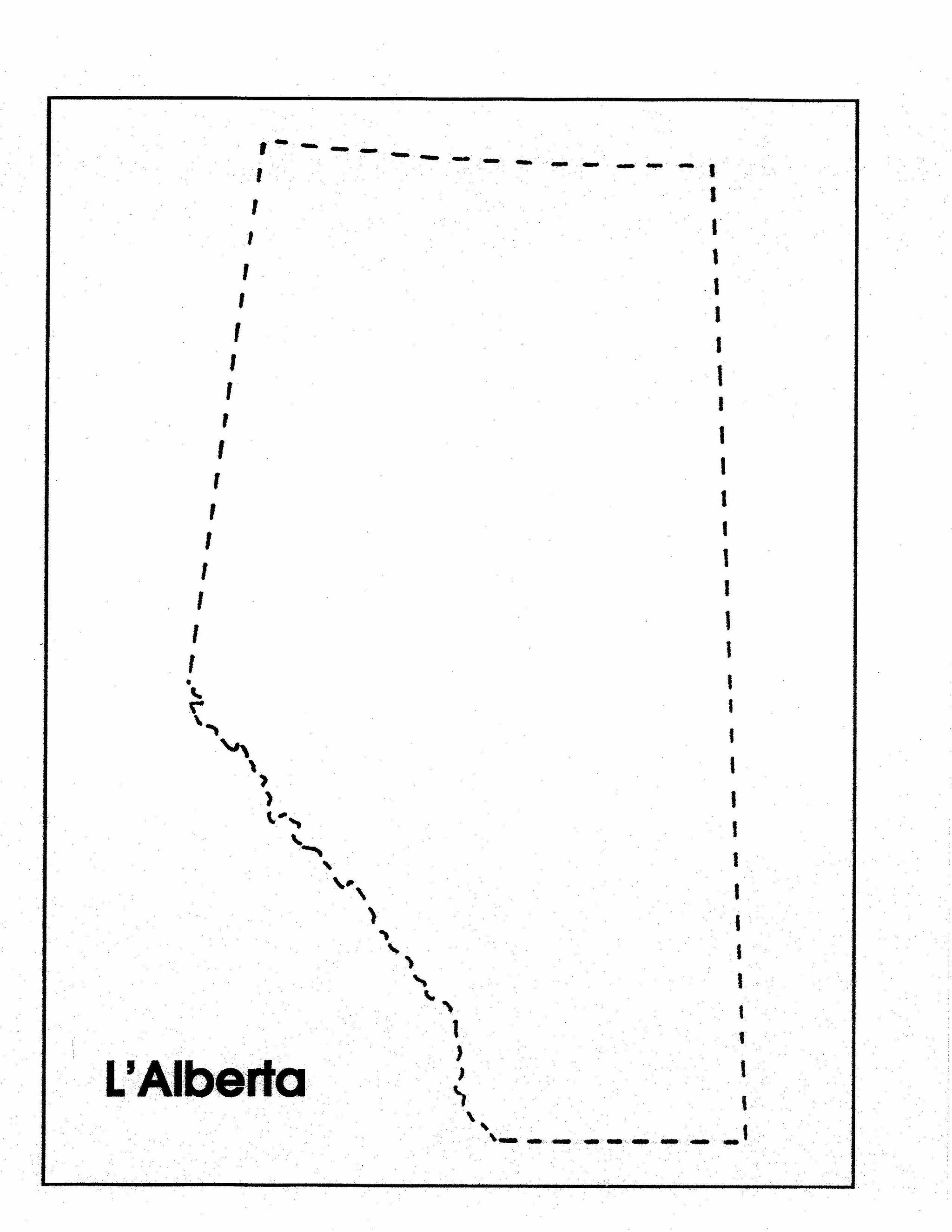
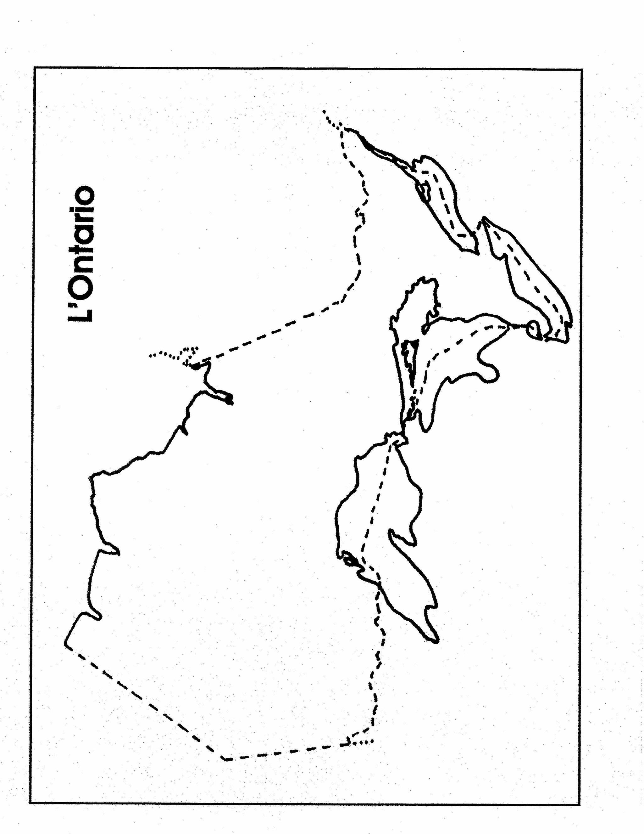
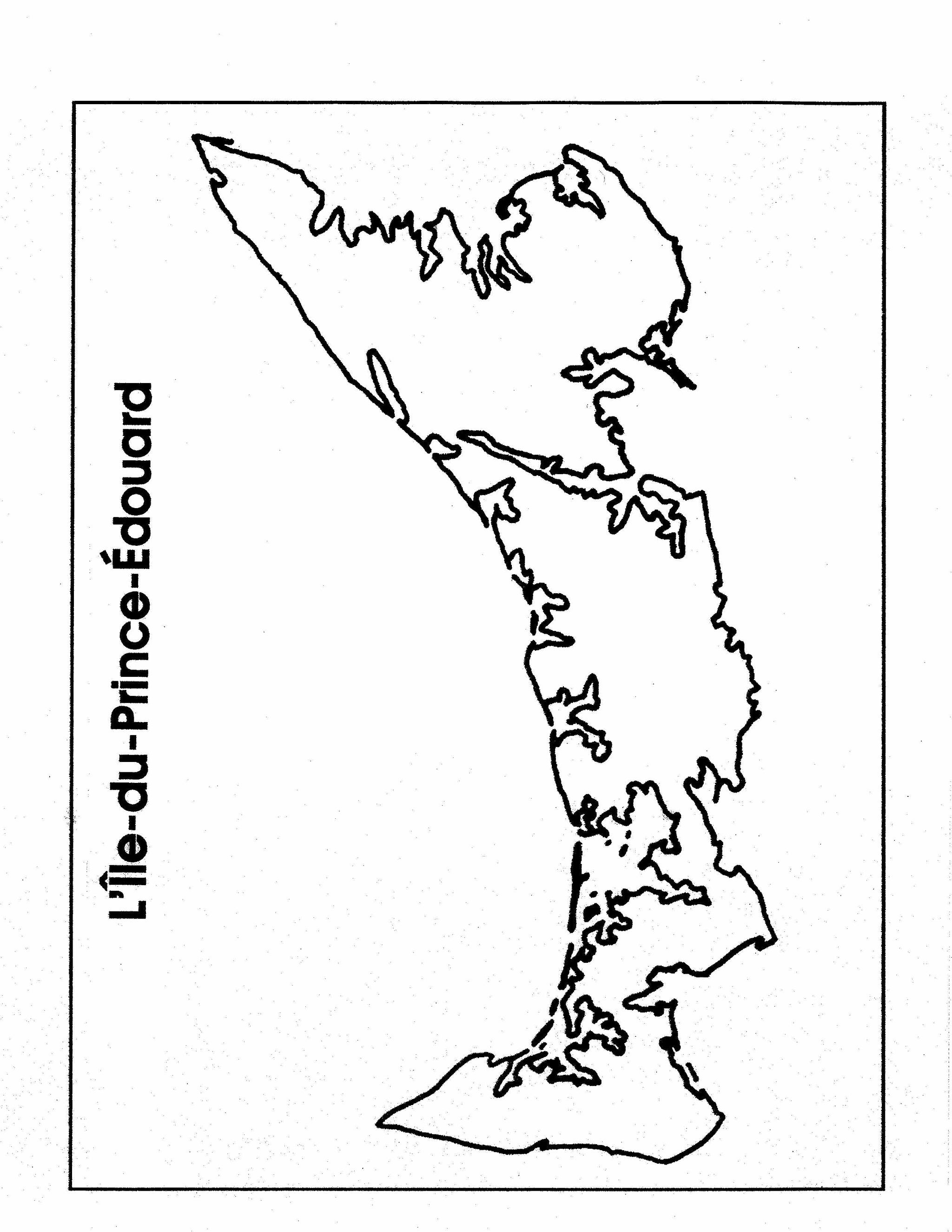
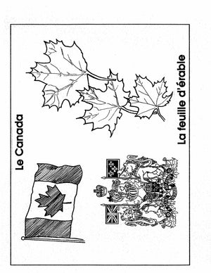
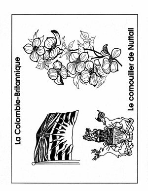
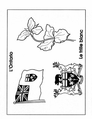
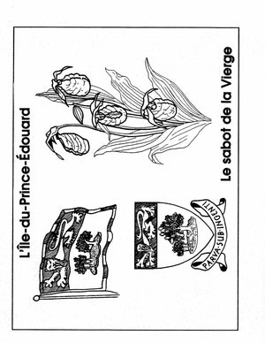
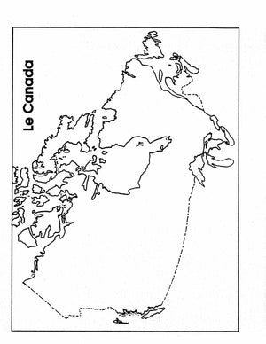
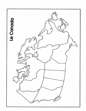
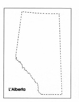
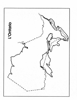
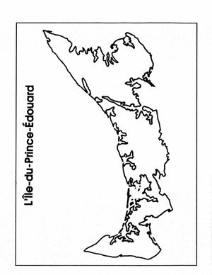
Un a trénte dessins. Le Yukon, Les Territoires du Nord-Ouest, Le Nunavut, La Colombie-Britannique, L'Alberta, La Saskatchewan, etc.
This collection can be easily integrated into any area of the curriculum.
Uses for the illustrations:
-
The illustrations can be colored, mounted, and laminated and used to develop a bulletin board display on Cartes Geograph & Symboles du Canada.
-
Illustrations can be colored, mounted, and laminated and cut up into puzzles.
-
Students can use the illustrations for project work, research activities, writing activities, and oral presentations.
-
The illustrations can be used to design activity cards for centers.
-
Makeup riddles about the illustrations and have students locate the correct one. Students can make their own riddles.
-
Divide the class into groups. Give each group an illustration. Have the group find out five interesting facts about it.
Collections: Downloadable Book, eBooks & eLessons, French
Share:

