


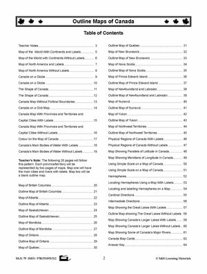

Outline Maps of Canada Grades K-3
EBJ179
$23.99 CAD
Additional information:
- Author : Golletz, Lynda
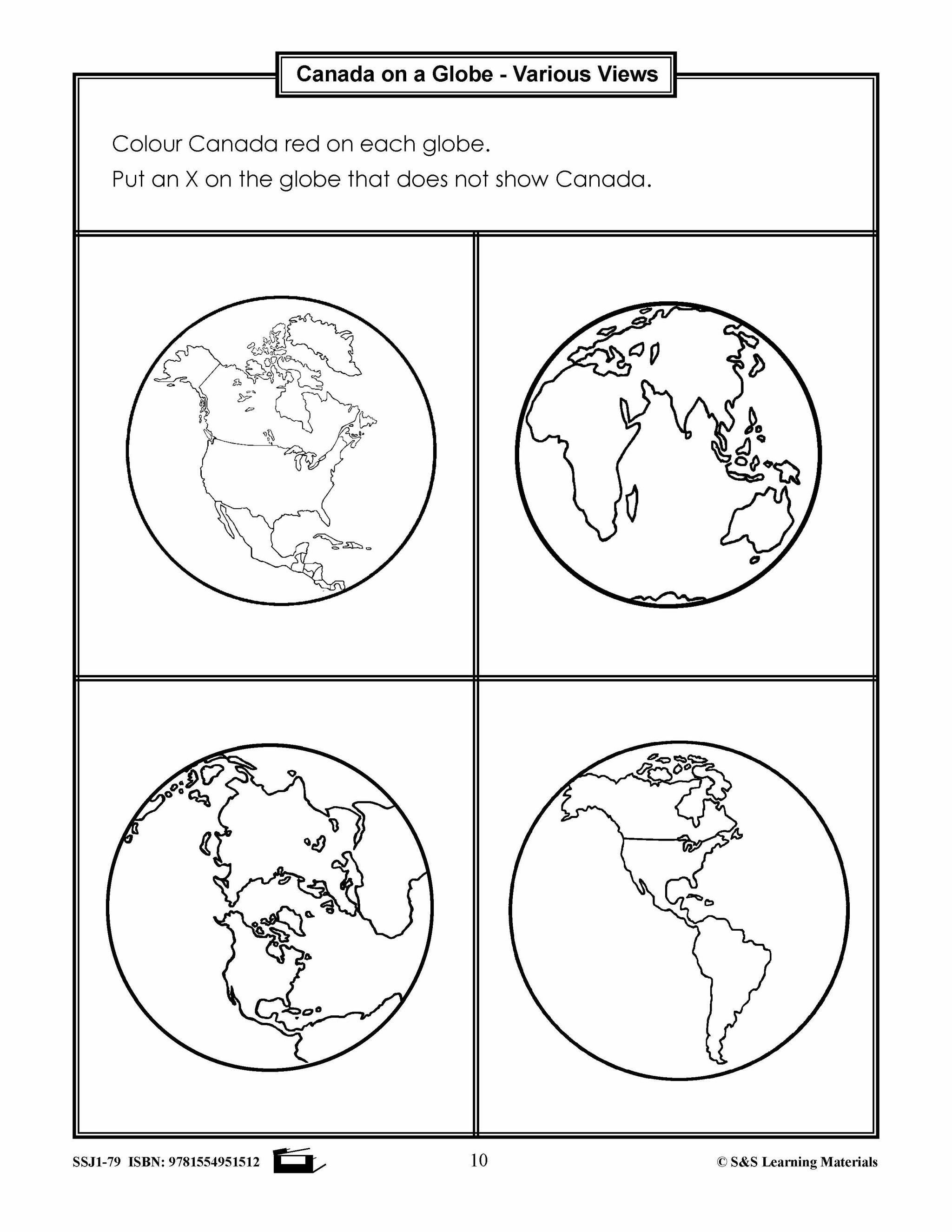
Outline Maps of Canada help introduce and review mapping skills and Canadian geography. Almost every map included can be used to teach or review the use of: directions on a compass rose, symbols on a legend and mapping terms such as border, boundary and hemisphere.
Outlines of the following maps:
-
Map of the World With Continents
-
Map of North America
-
Canada on a Globe
-
The Shape of Canada
-
Canada Map Without Political Boundaries
-
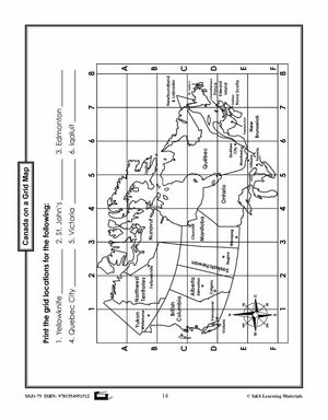
Canada on a Grid Map
-
Canada Map: Provinces and Territories and Capital Cities
-
Colour on the Map of Canada
-
Canada’s Main Bodies of Water
-
Teacher’s Note: The following pages following this pattern. Each province/territory will be represented by two pages of maps. Map one will have the main cities and rivers with labels. Map two will be a blank outline map.
-
Map of British Columbia
-
Map of Alberta
-
Map of Saskatchewan
-
Map of Manitoba
-
Map of Ontario
-
Map of Québec
-
Map of New Brunswick
-
Map of Nova Scotia
-
Map of Prince Edward Island
-
Map of Newfoundland and Labrador
-
Map of Nunavut
-
Map of Yukon
-
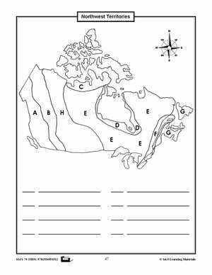
Map of Northwest Territories
-
Physical Regions of Canada
-
Map Showing Parallels of Latitude
-
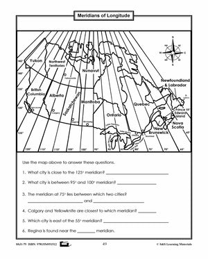
Map Showing Meridians of Longitude
-
Using Simple Scale on a Map of Canada
-
Hemispheres
-
Locating Hemispheres Using a Map
-
Cardinal Directions
-
Intermediate Directions.
-
Map Showing the Great Lakes
-
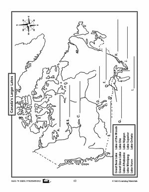
Map Showing Canada’s Larger Lakes
-
Map Showing Some of Canada’s Major Rivers
The maps will help students:
-
recognize the shape of Canada
-
locate Canada in North America and the world
-
recognize and locate Canada's provinces, territories and capital cities
-
begin to recognize parallels of latitude and meridians of longitude
-
use simple scale on maps of Canada
-
provide starting points for inquiry or research on specific provinces and territories
-
use a grid on a map
-
locate and name rivers and large bodies of water
64 pages.