
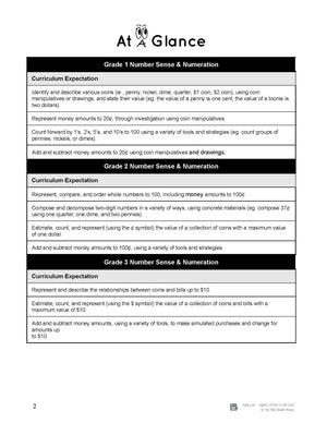
Grade 1, 2 and 3


Big Book of Canadian Mapping Skills Grades 1-3
$39.99 CAD
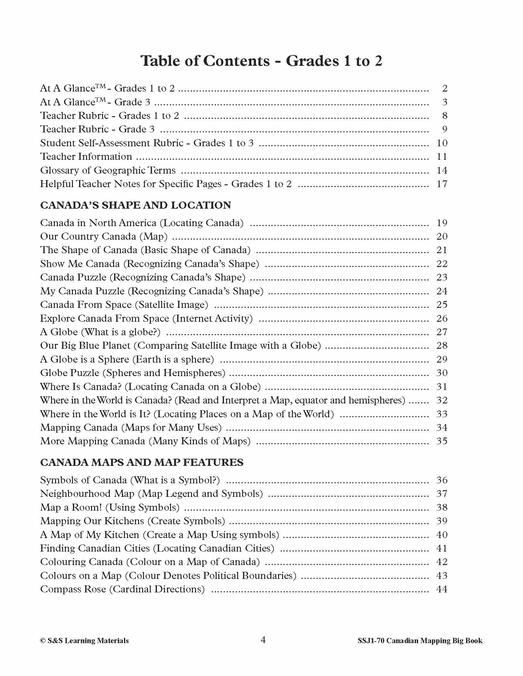
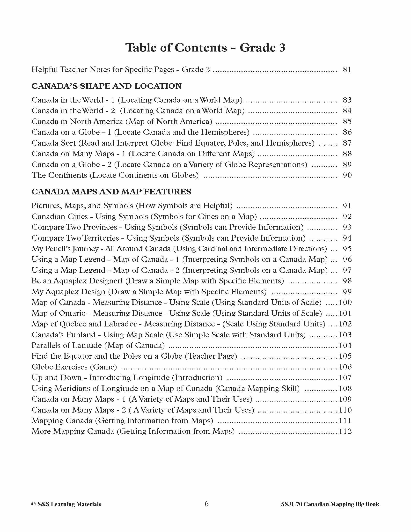
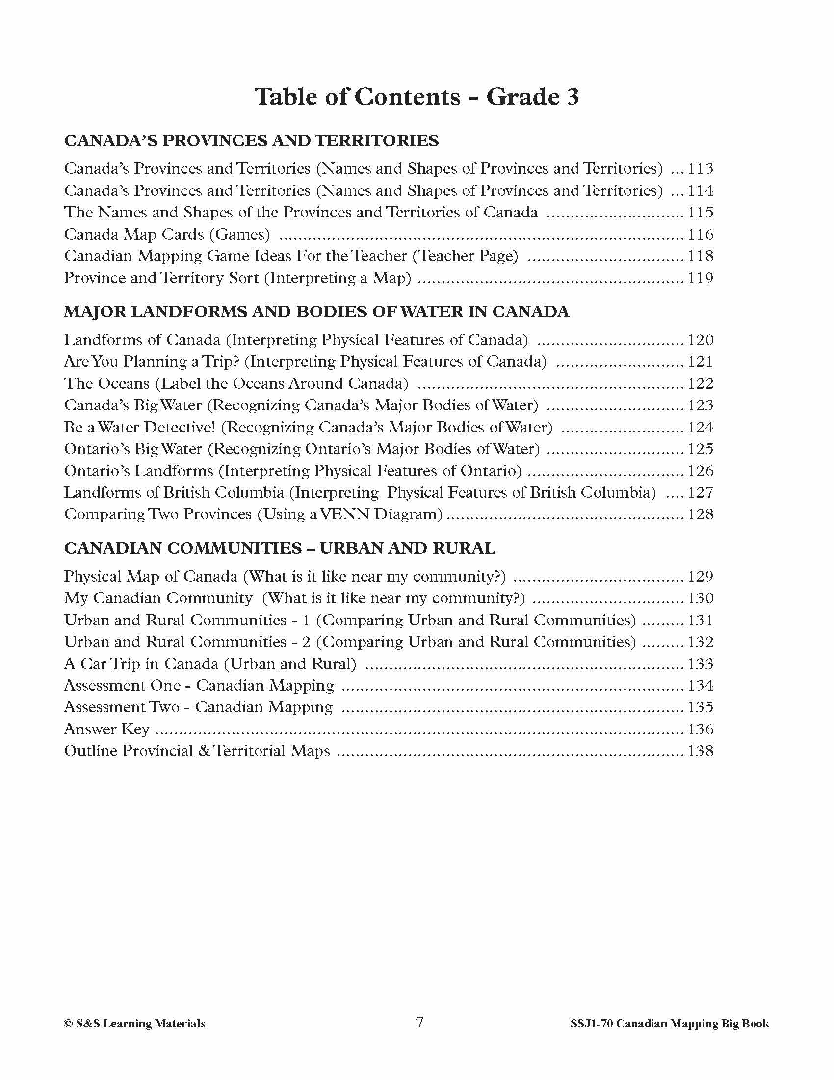
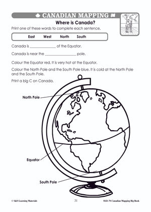
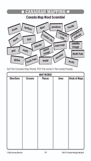
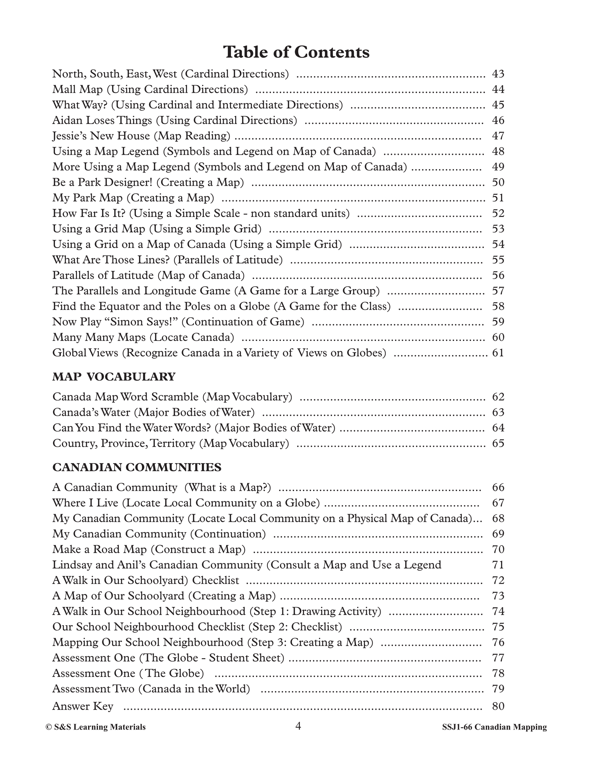
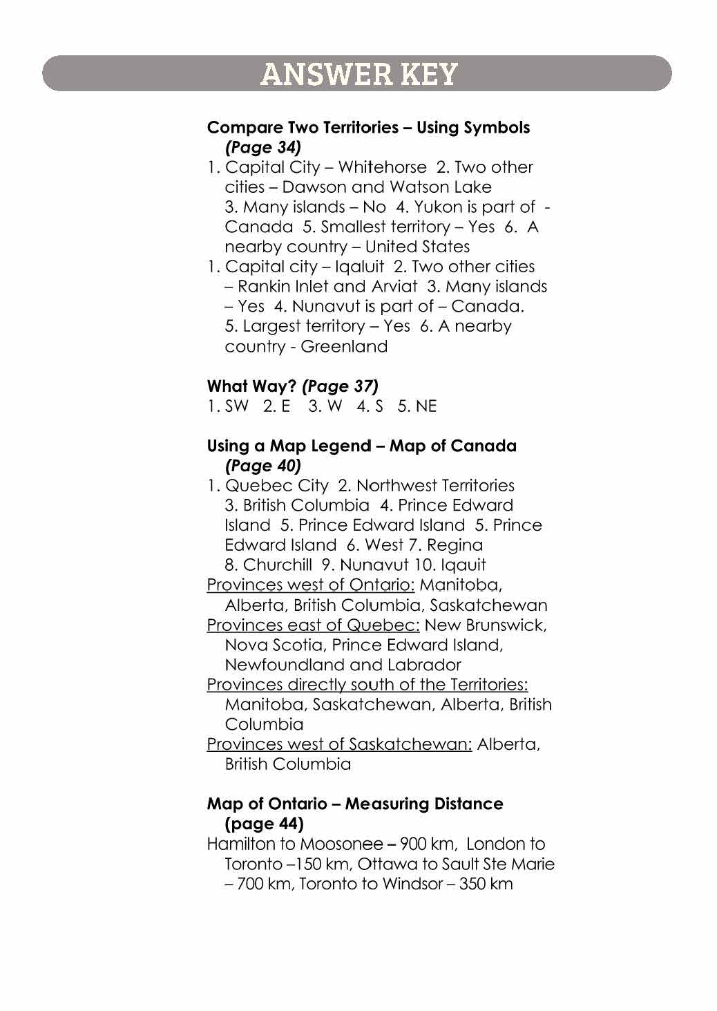
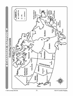
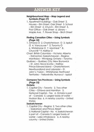
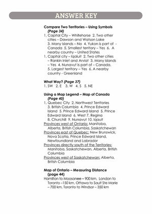
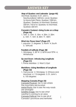
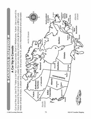
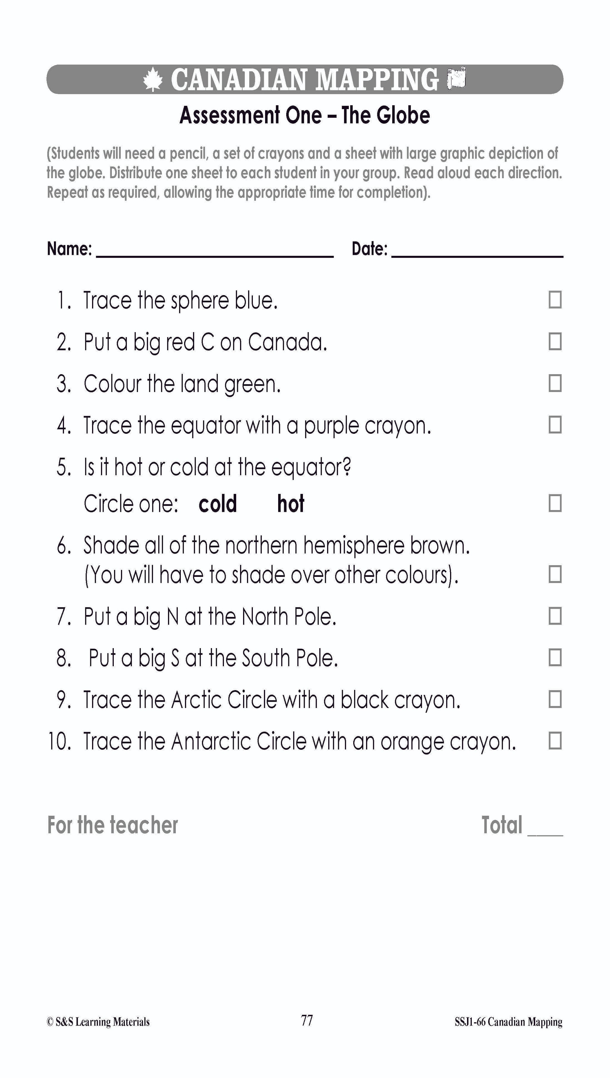
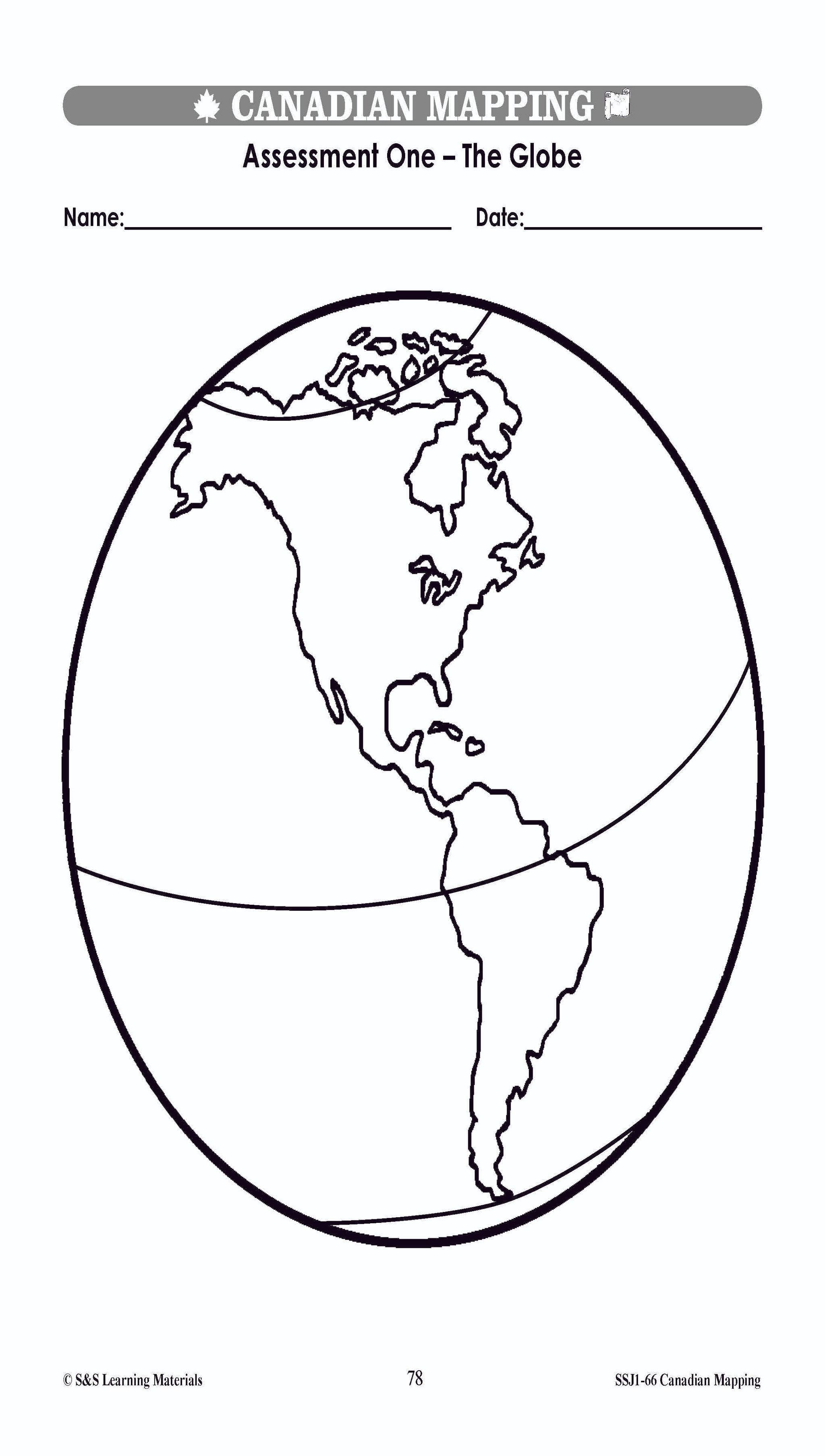
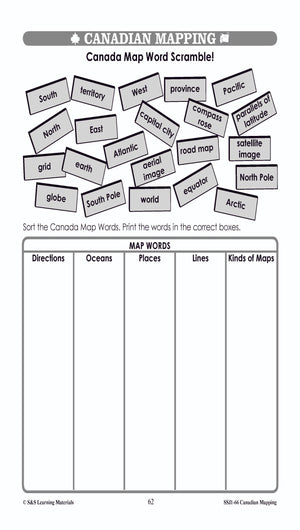
They will be introduced to mapping terms such as; country, border, ocean, province, territory, continent, hemisphere, latitude, longitude, symbols, legend, scale, and cardinal and intermediate directions. Everything you need to teach and strengthen mapping skills for Grades 1, 2 and...


Canadian Mapping Skills: An Introduction to Mapping Grades 1-2
$32.99 CAD
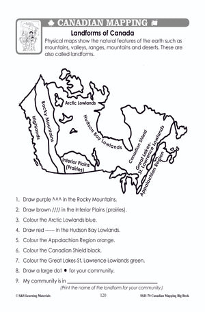
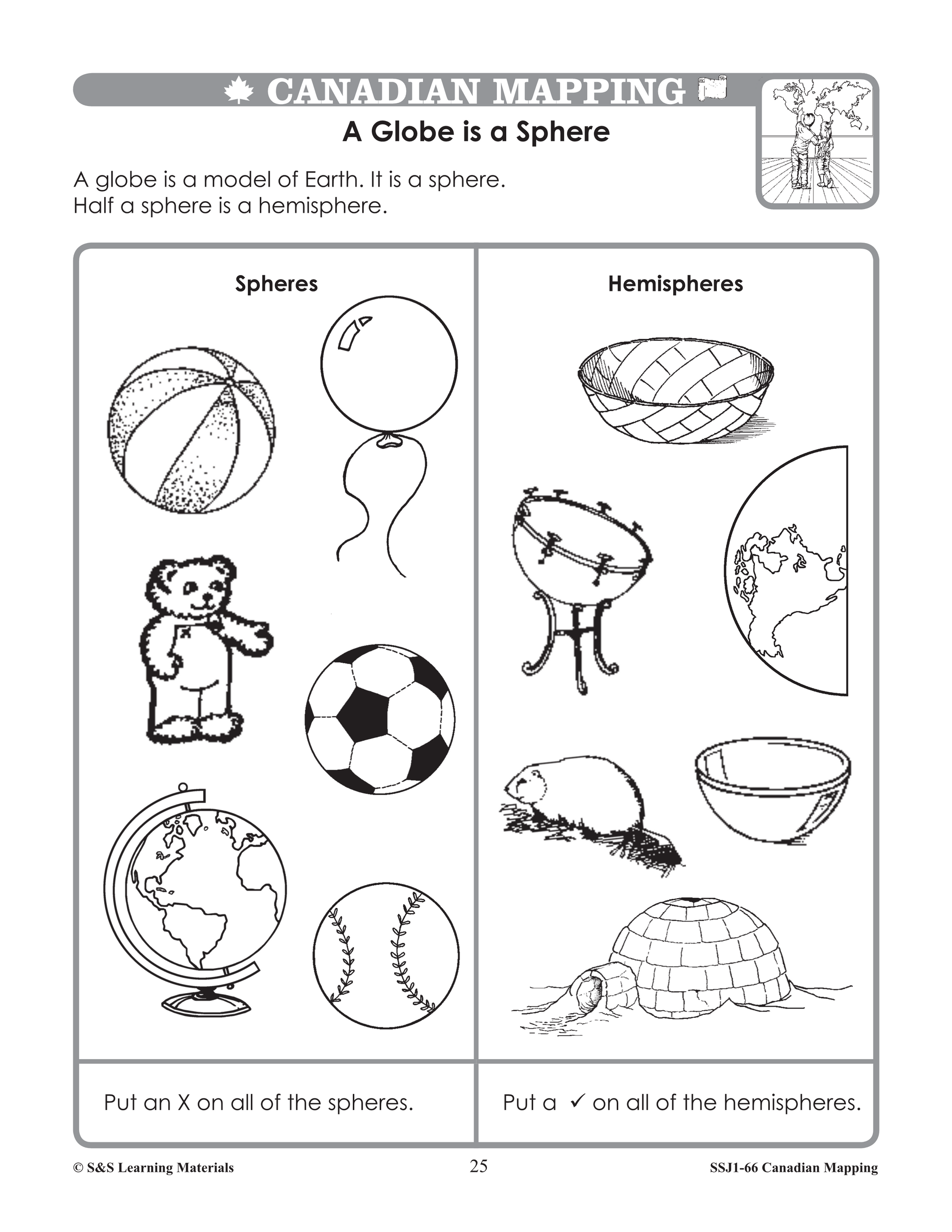
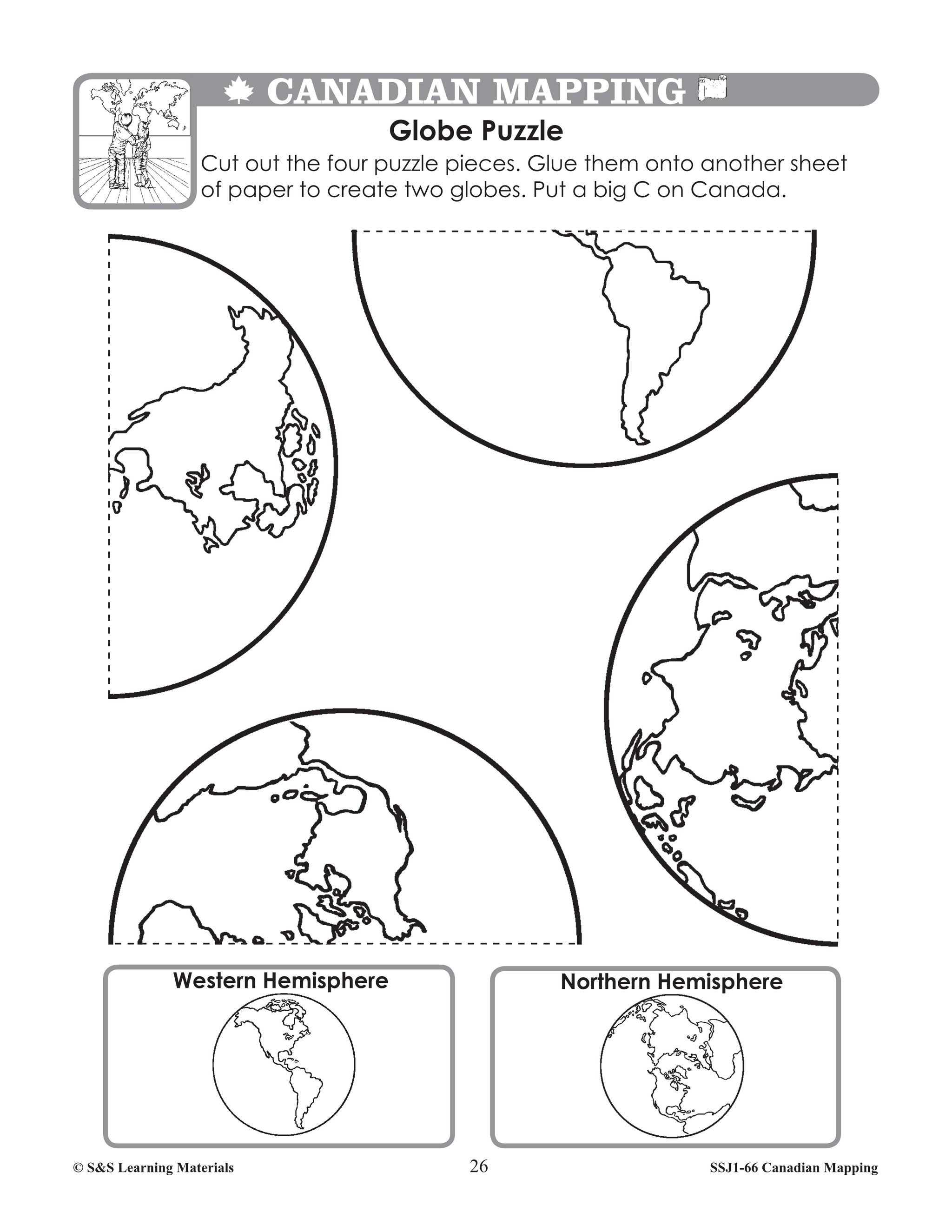
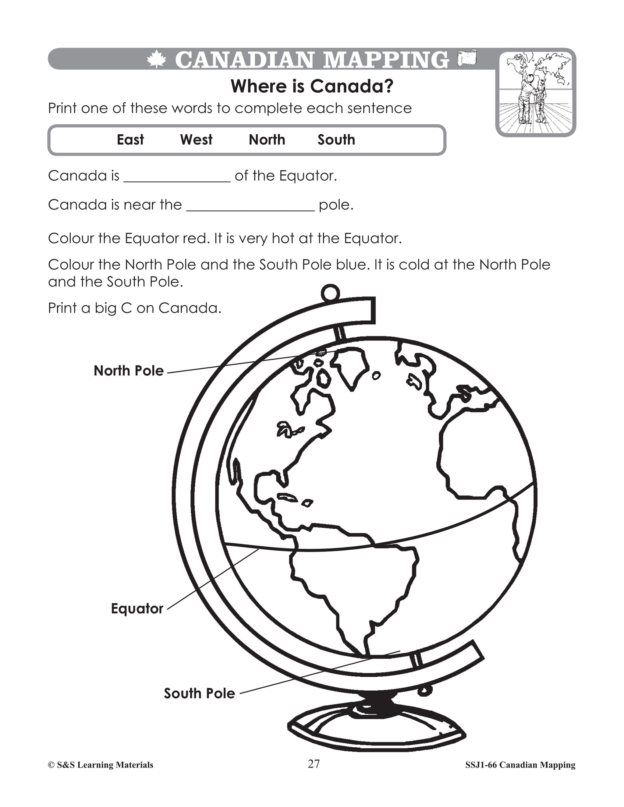
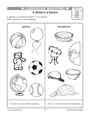
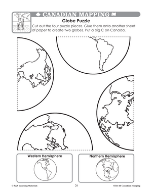
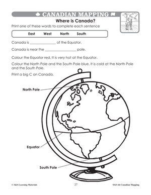
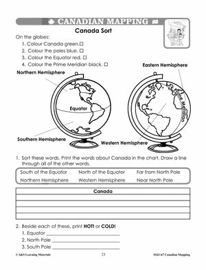
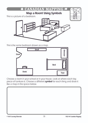
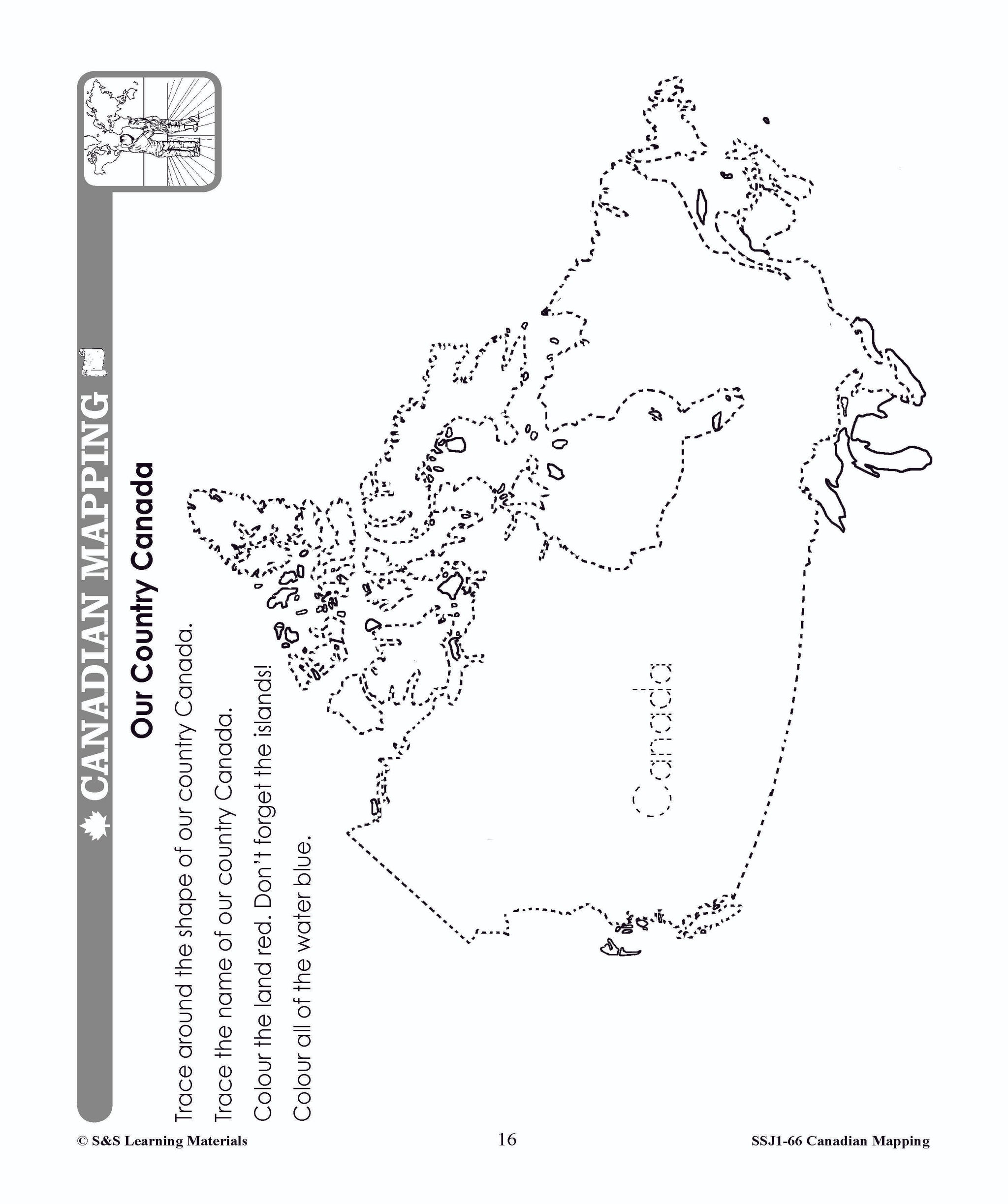
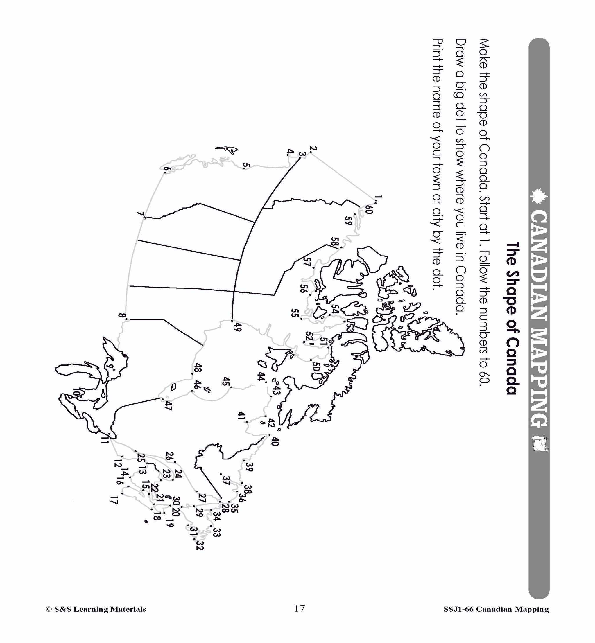
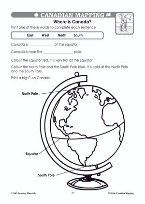
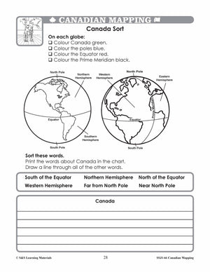
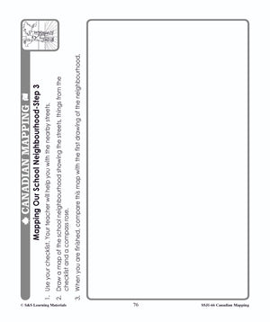
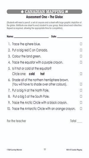
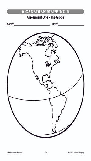
Build strong early mapping skills with Canadian Mapping Grades 1–2! This comprehensive resource introduces young learners to Canada’s shape, location, and major features while teaching essential map‑reading skills. Students explore globes, hemispheres, symbols, legends, grids, and directions through hands‑on activities...


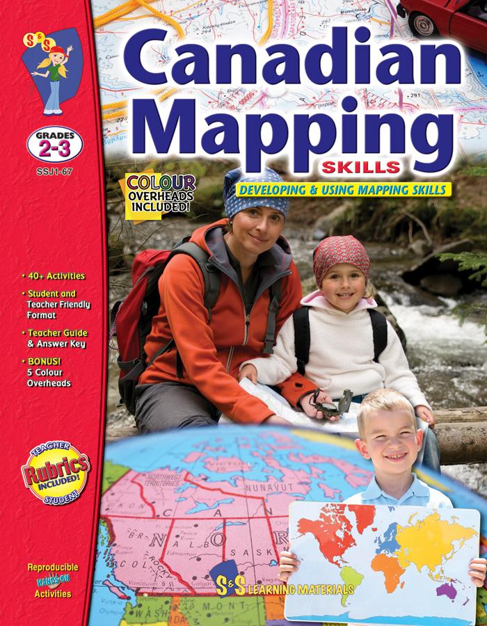
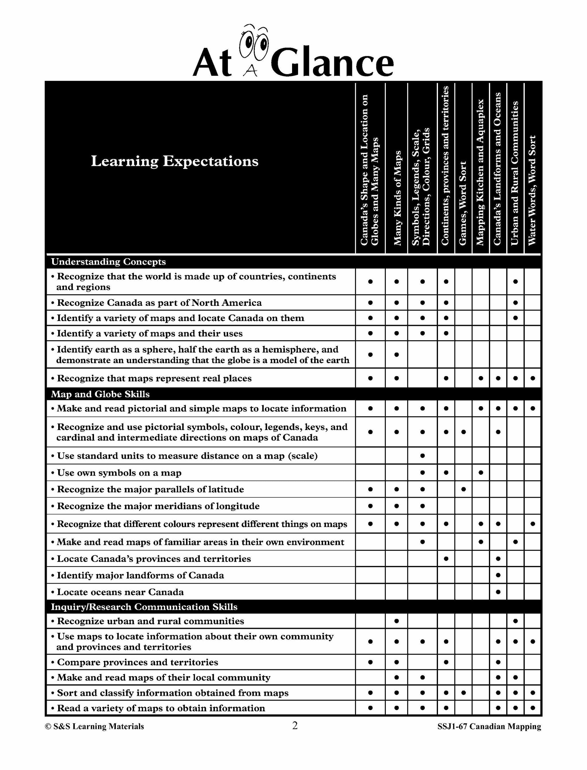


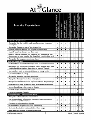

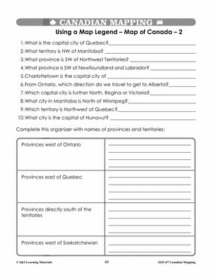
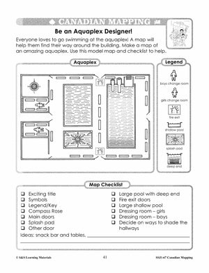
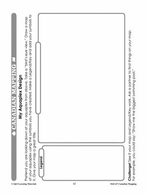
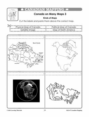
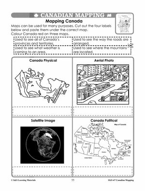
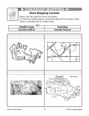
Canadian Mapping Skills: Developing and Using Mapping Skills Grades 2-3
$32.99 CAD
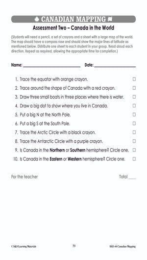
Help your Grade 2–3 students build strong mapping and geography skills with Canadian Mapping Grades 2–3! This comprehensive resource teaches students how to read, interpret, and create maps while exploring Canada’s provinces, territories, landforms, bodies of water, and communities. Students...


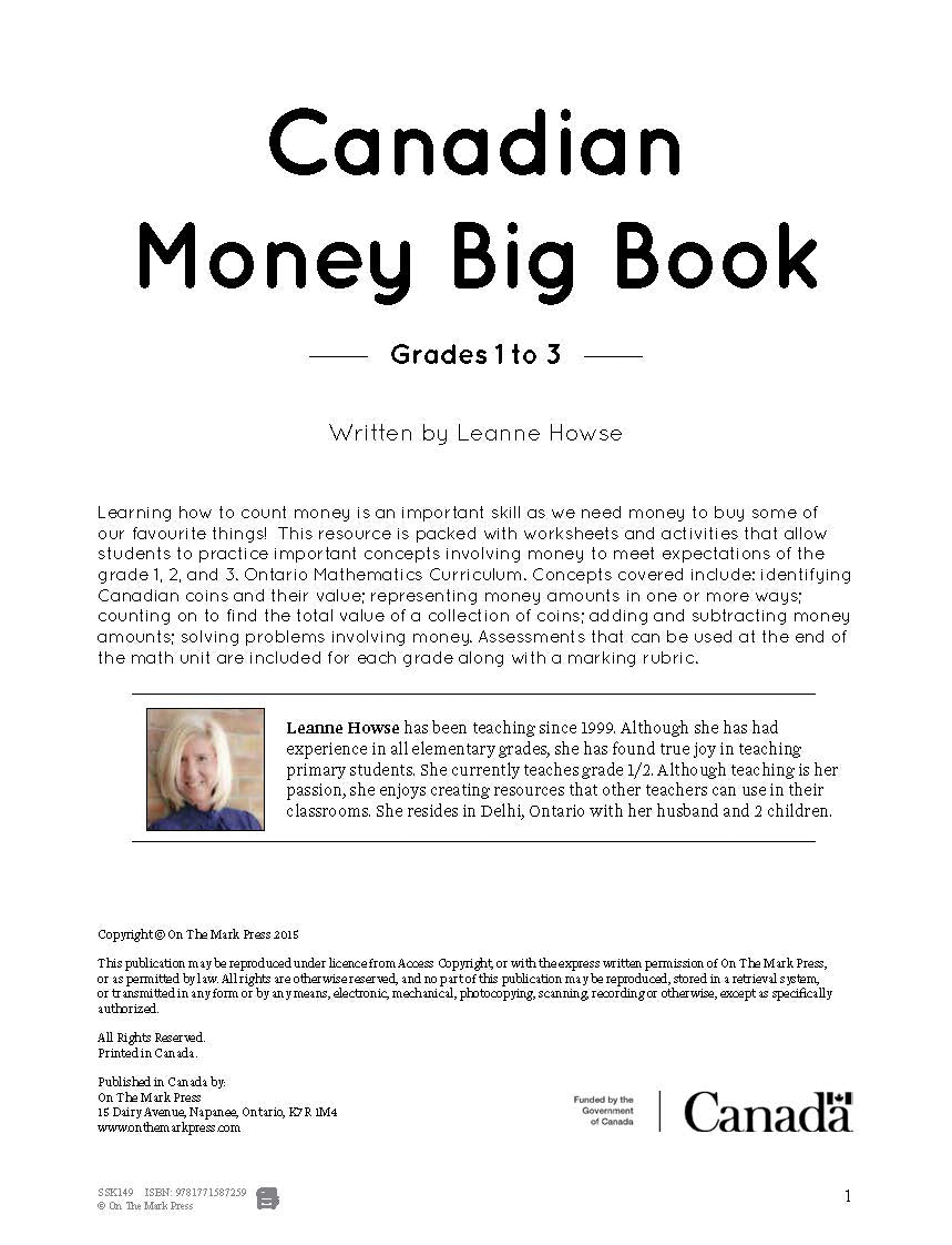
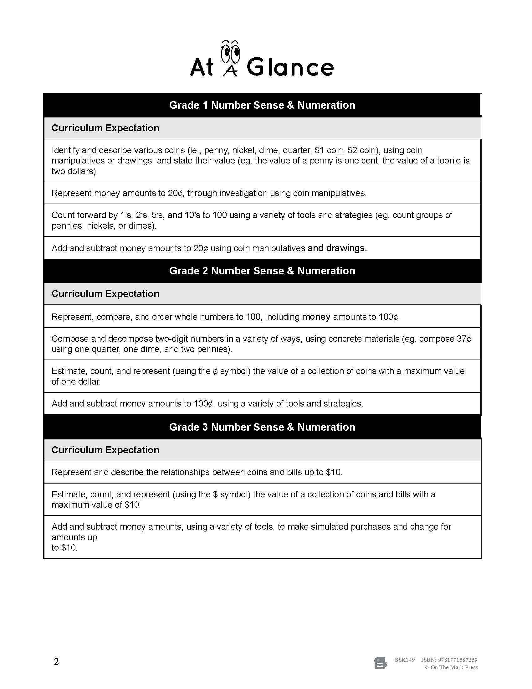


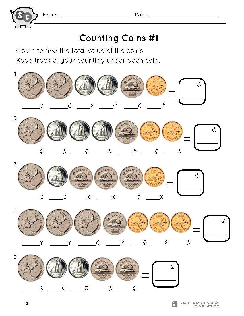
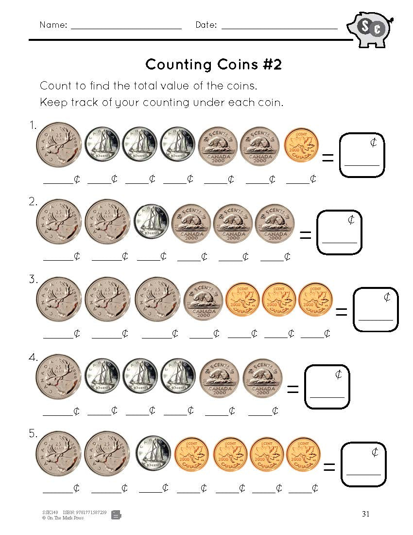
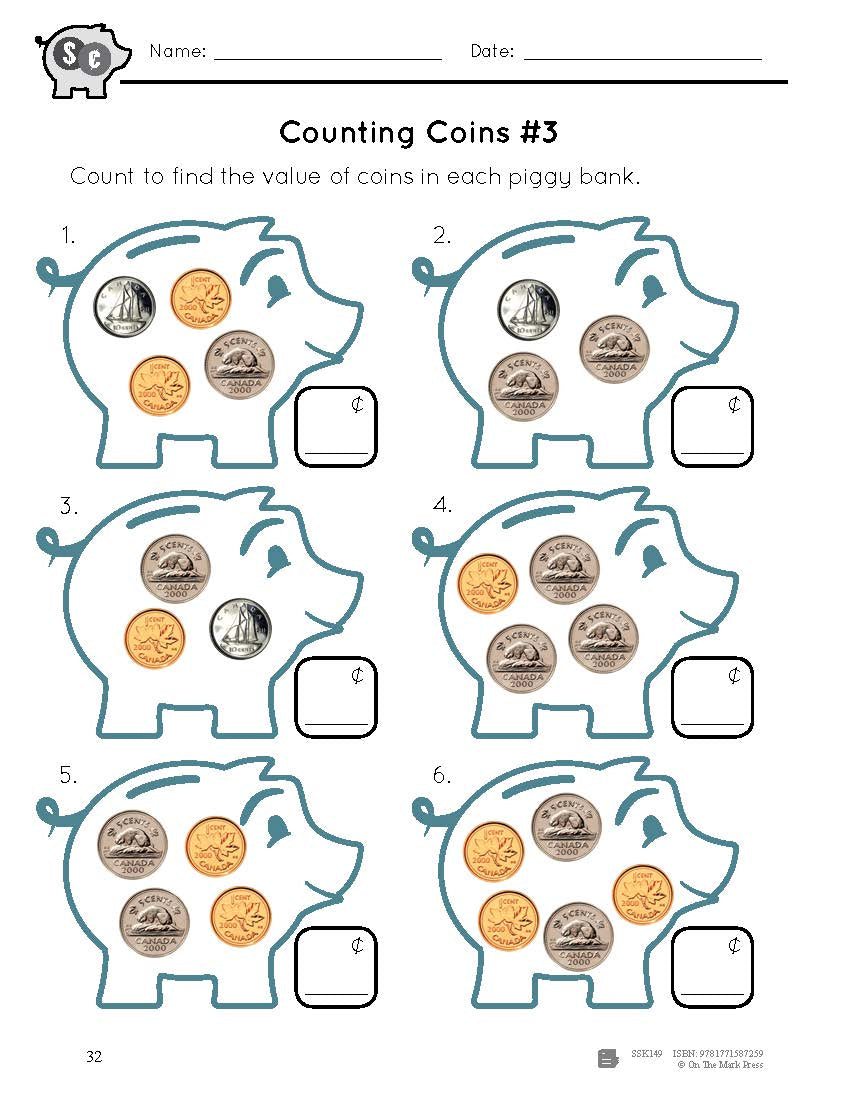
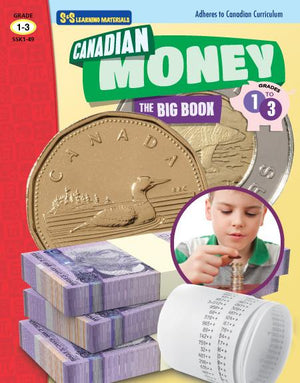

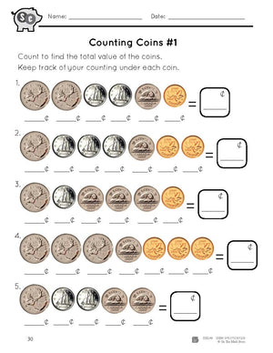


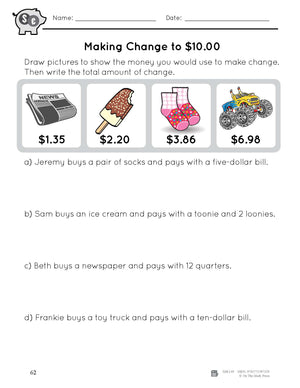
Canadian Money Big Book Grades 1-3
$34.99 CAD
Learning how to count money is an important skill as we need money to buy some of our favourite things!This resource is packed with worksheets and activities that allow students to practice important concepts involving money to meet expectations of...


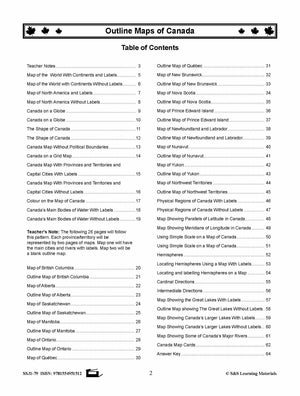

Outline Maps of Canada Grades K-3
$23.99 CAD
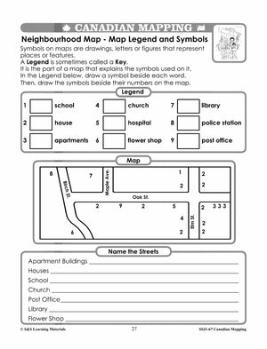
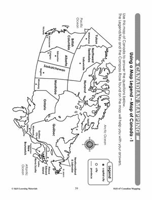
Outline Maps of Canada help introduce and review mapping skills and Canadian geography. Almost every map included can be used to teach or review the use of: directions on a compass rose, symbols on a legend and mapping terms such...
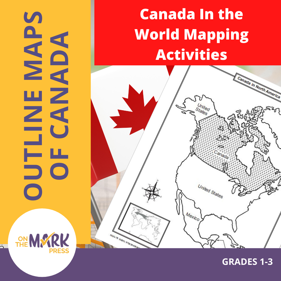


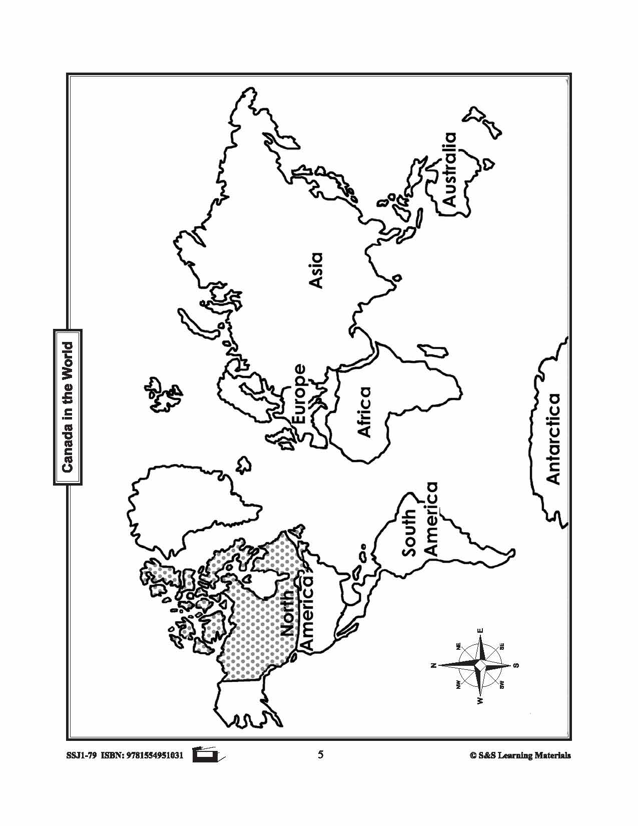
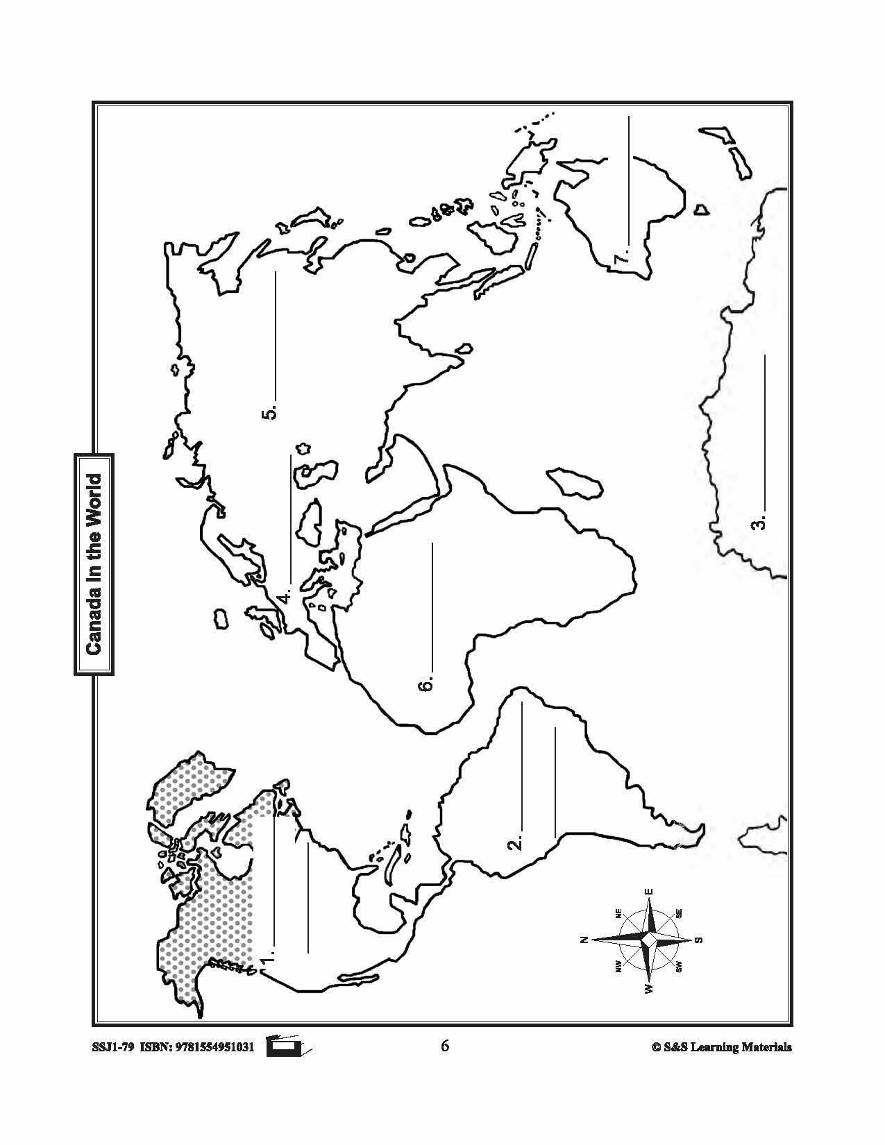
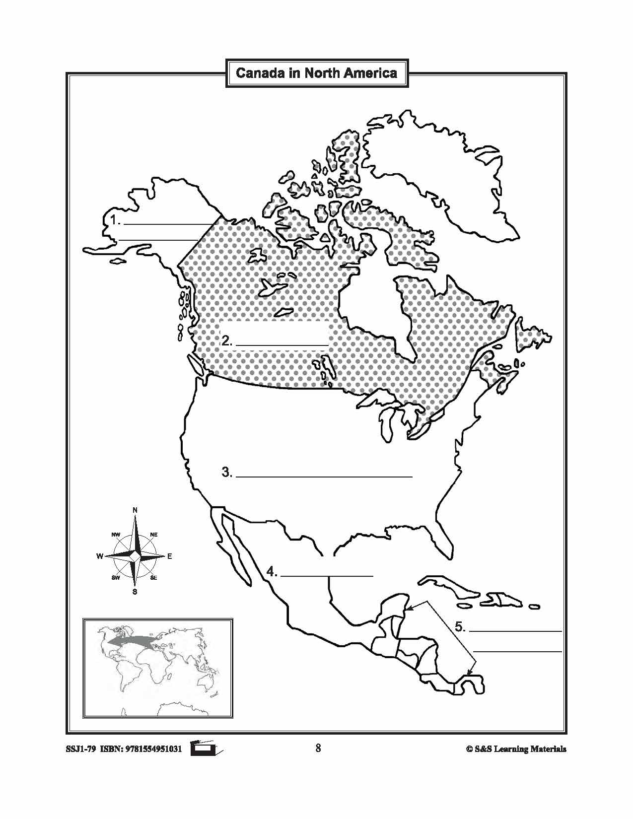
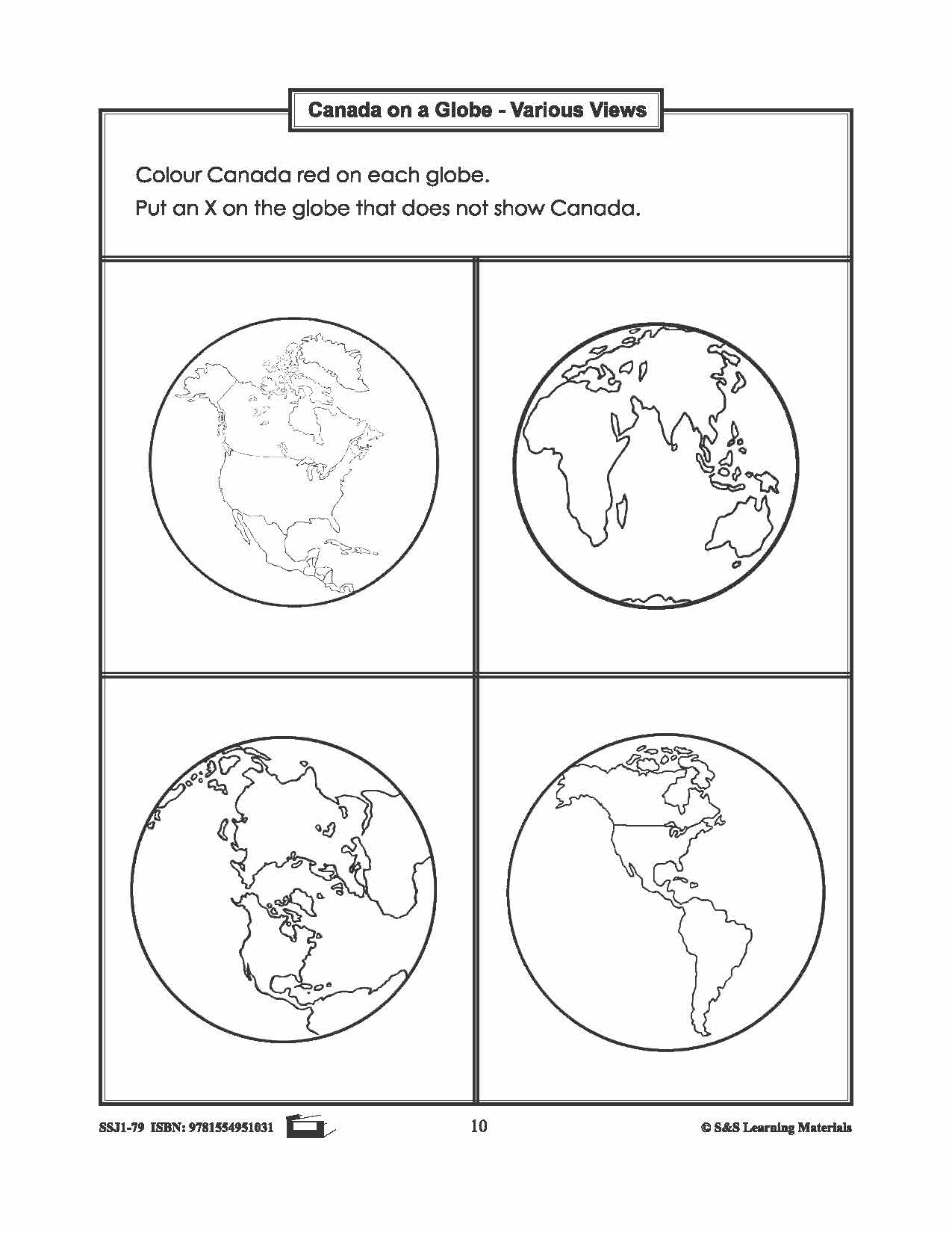
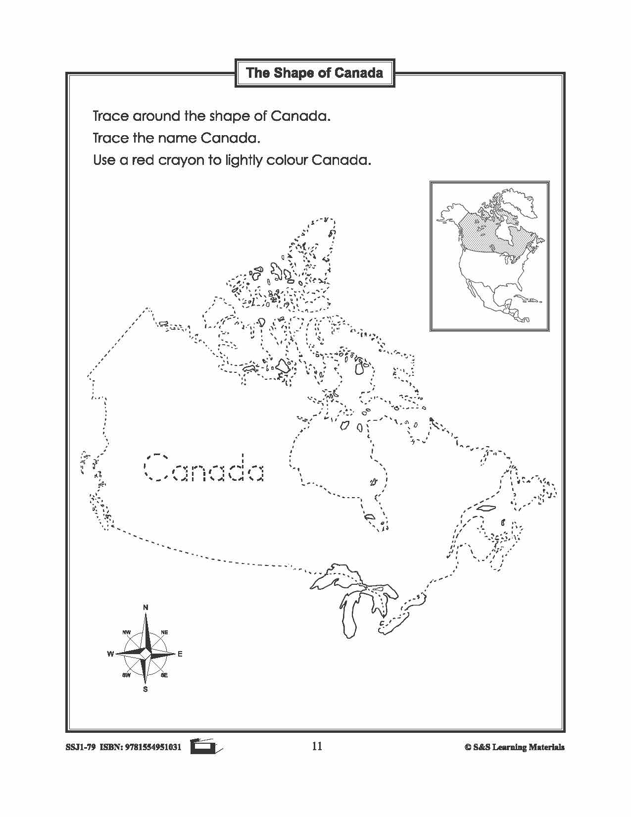
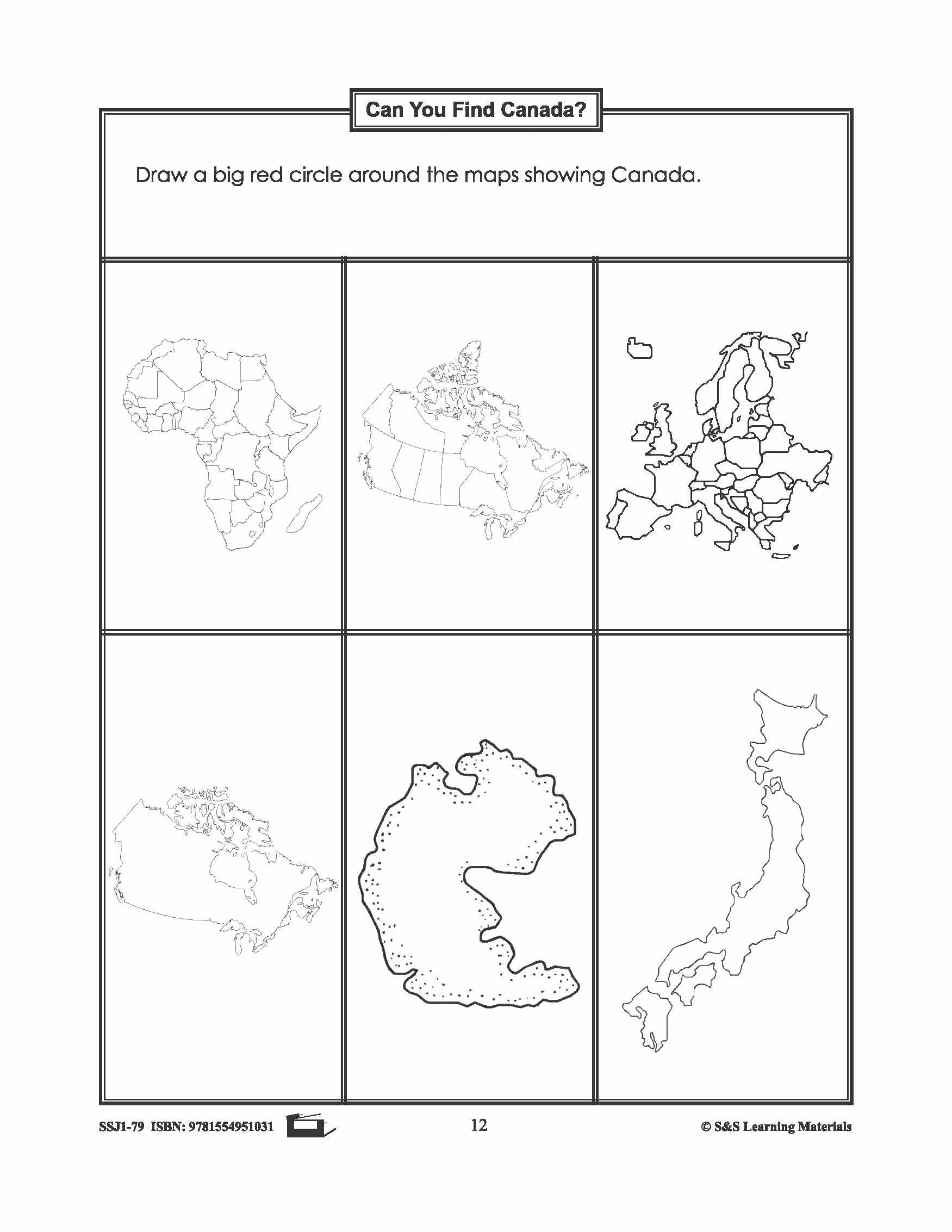


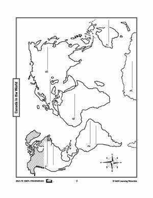
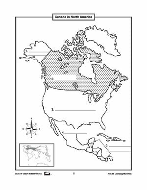


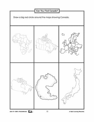


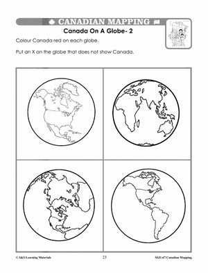
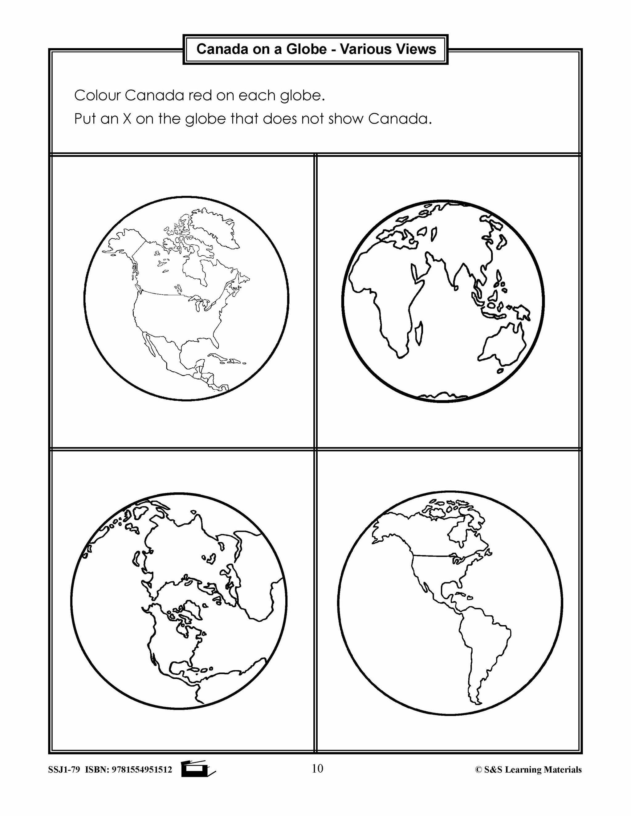
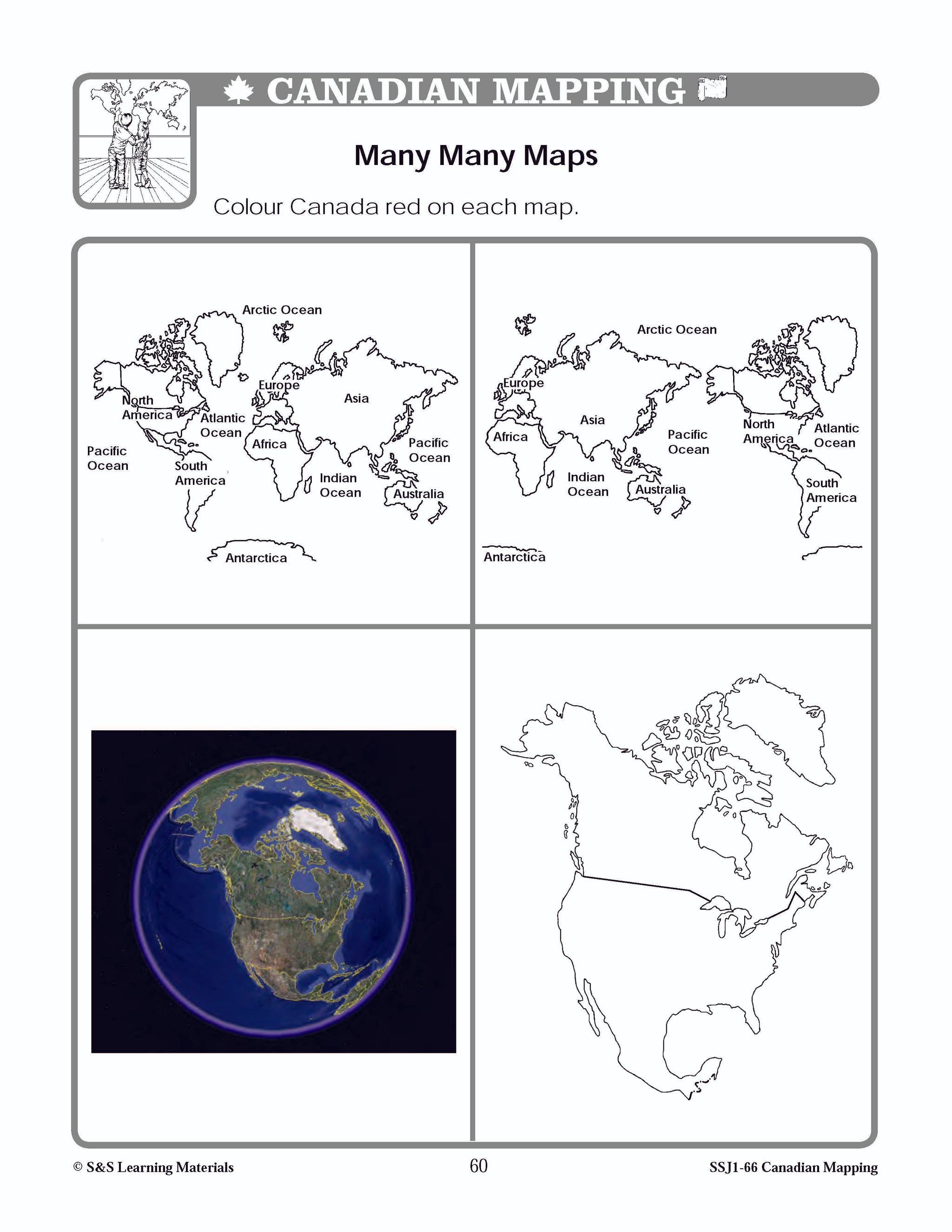
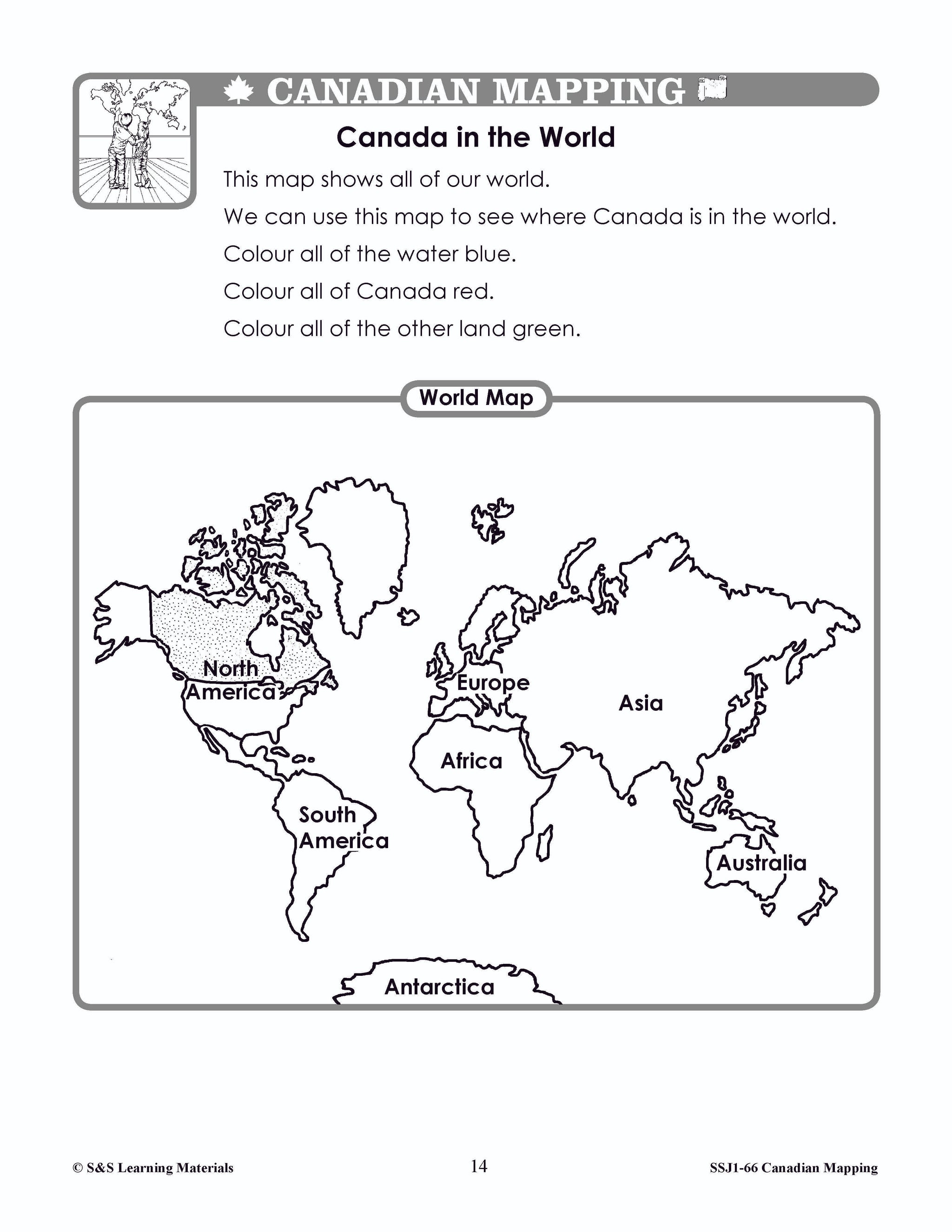
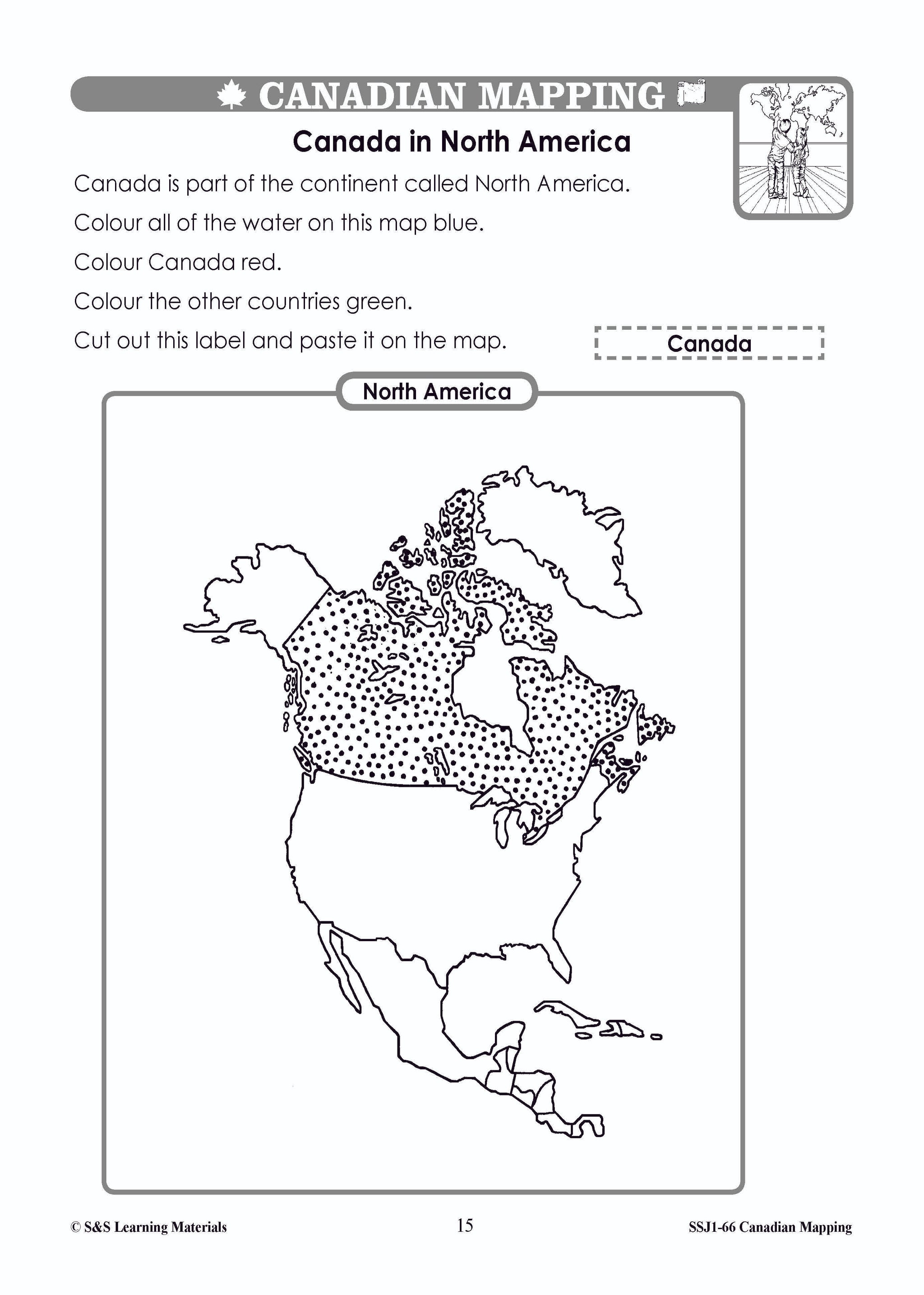
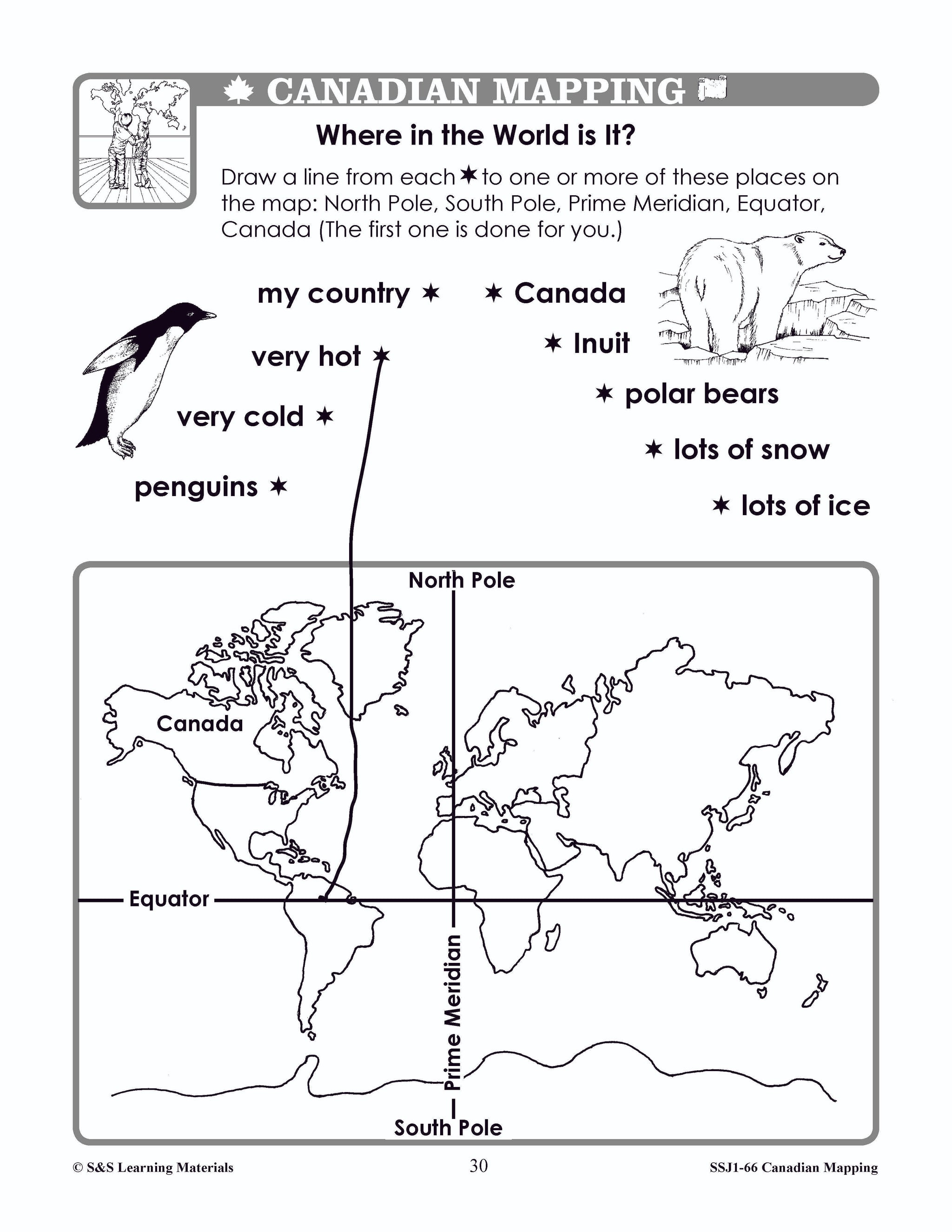
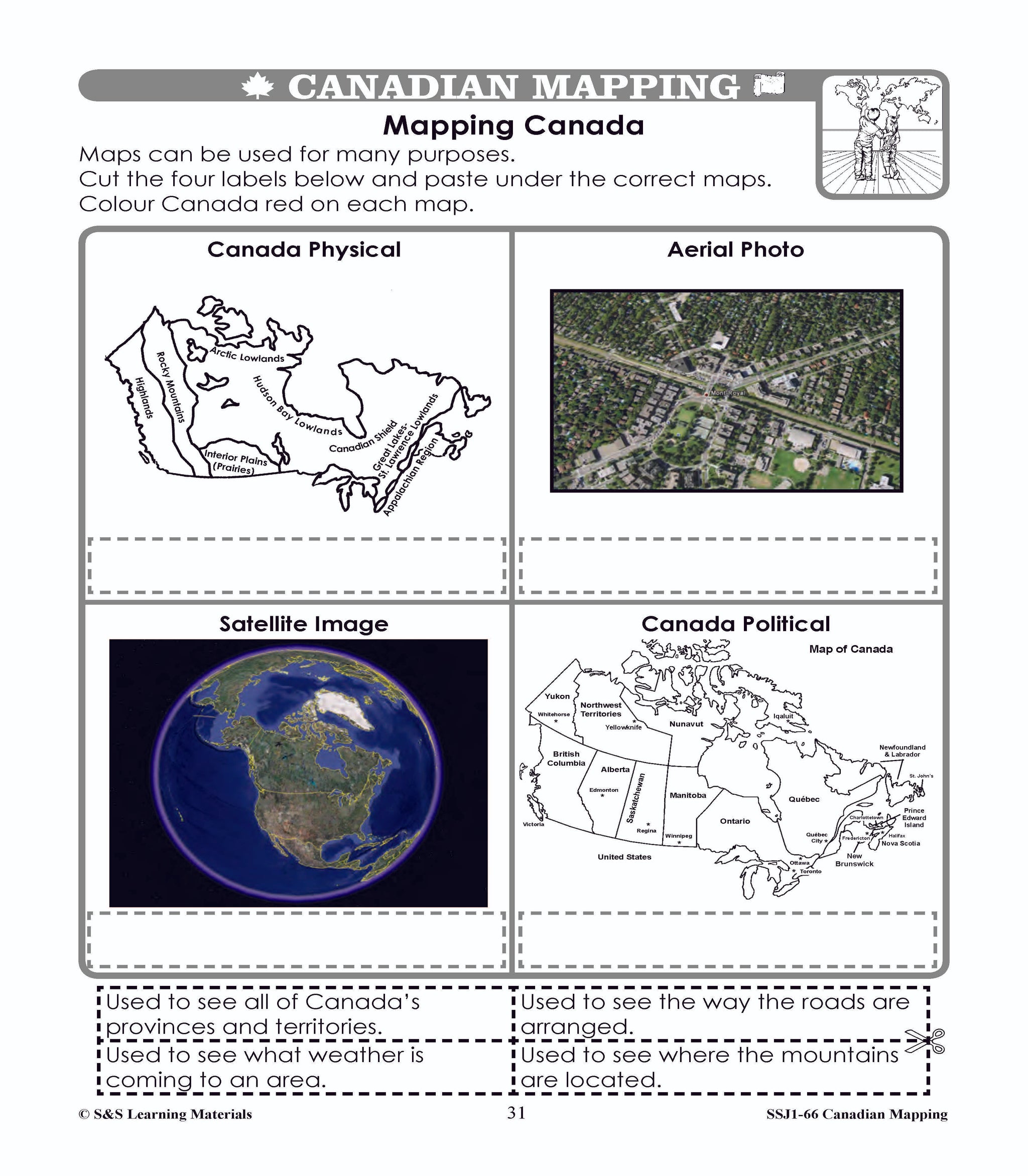
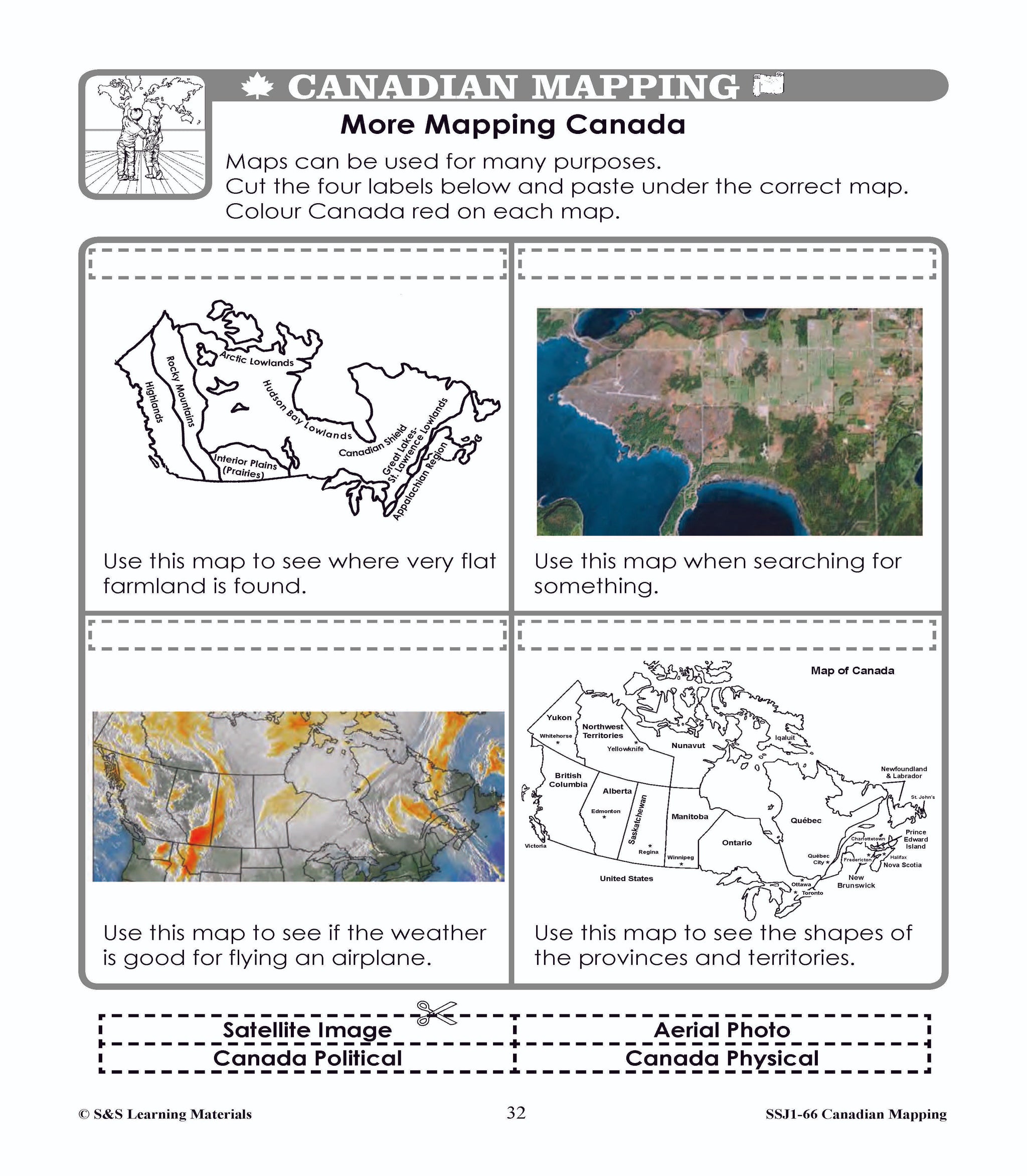
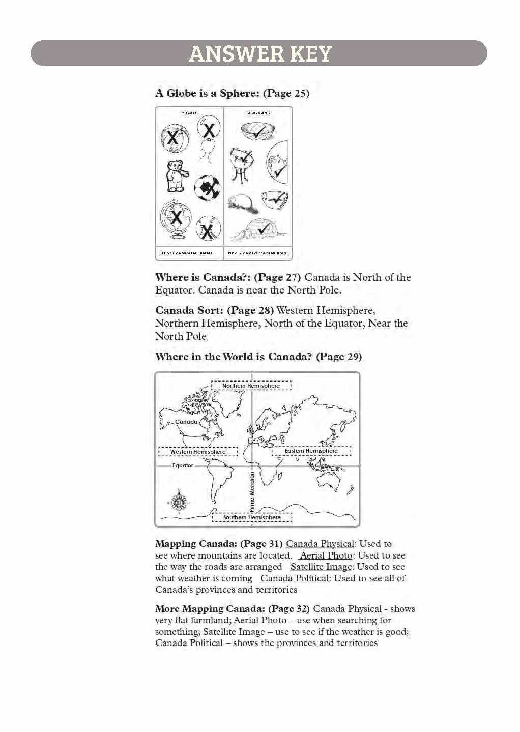
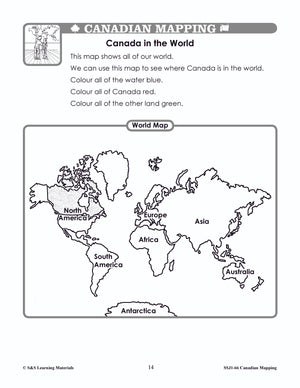
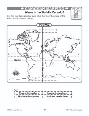
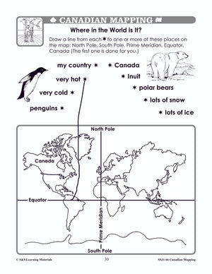
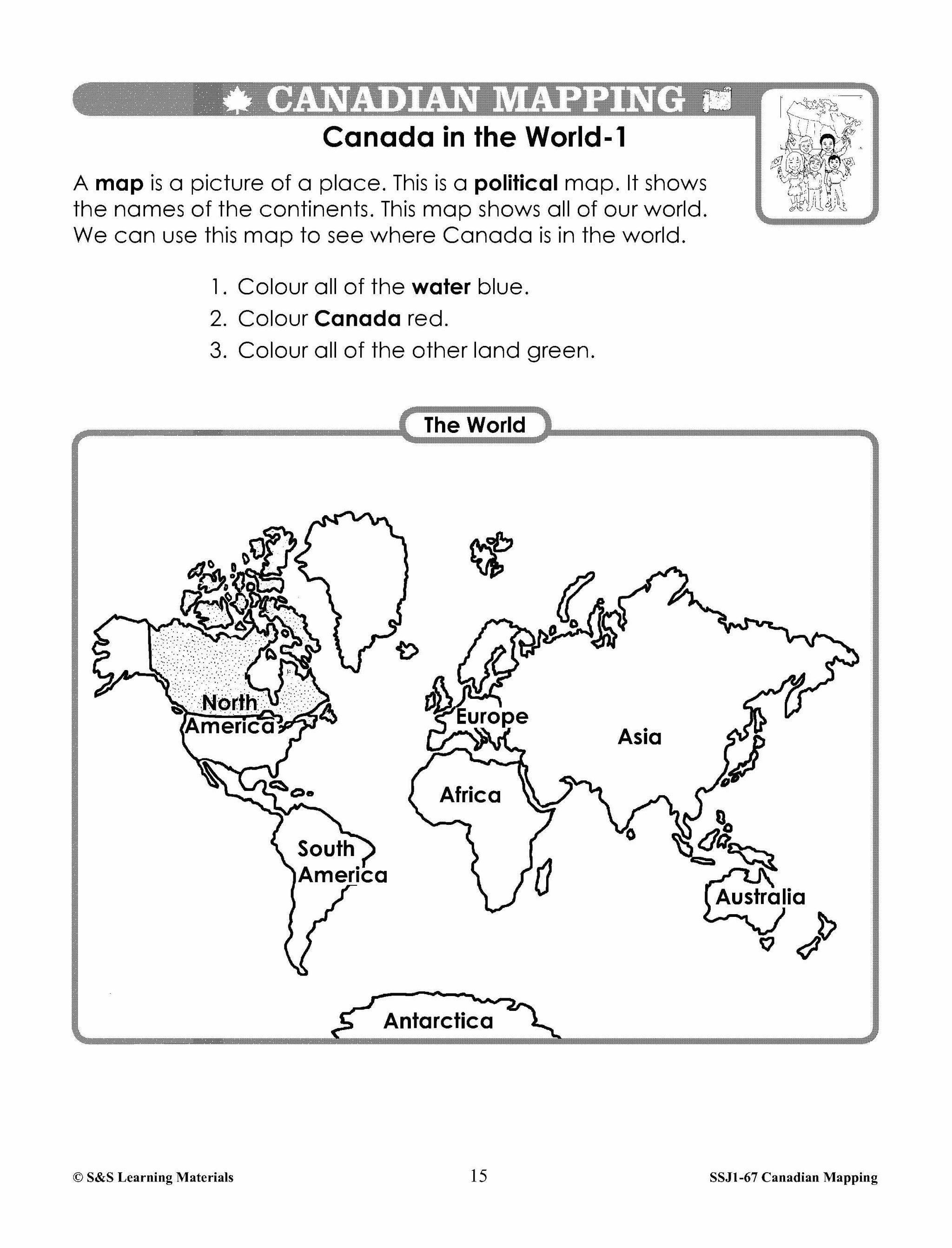
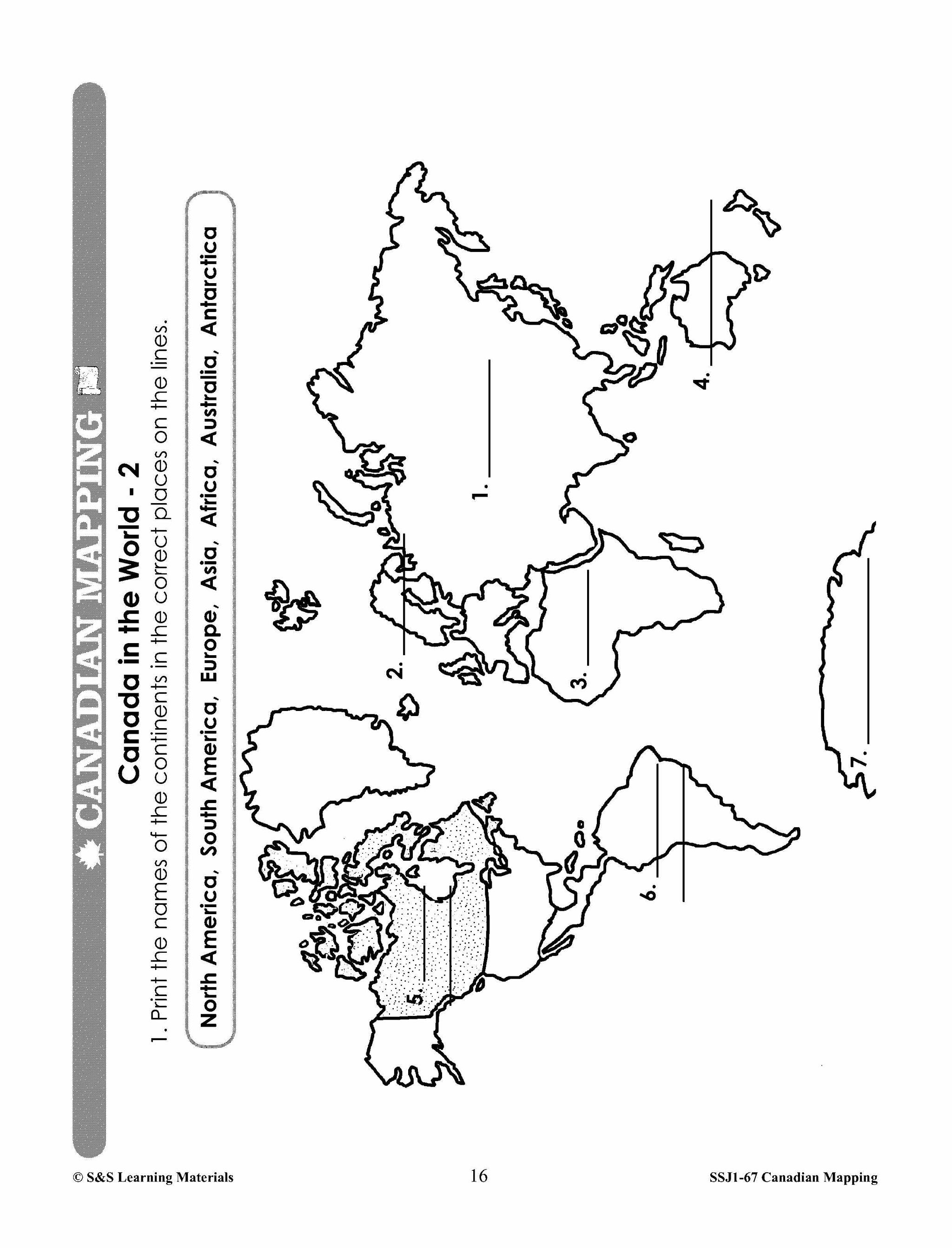
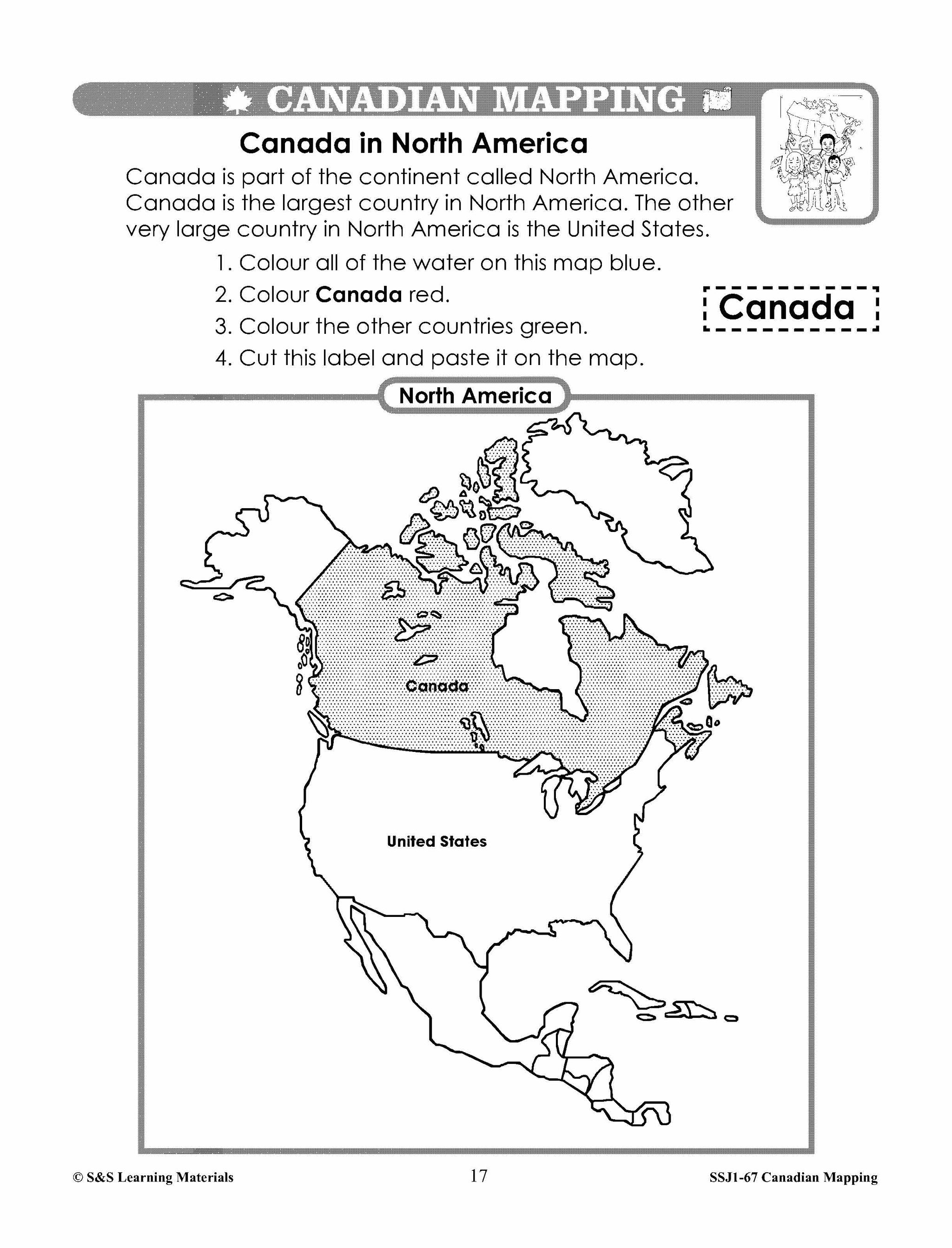
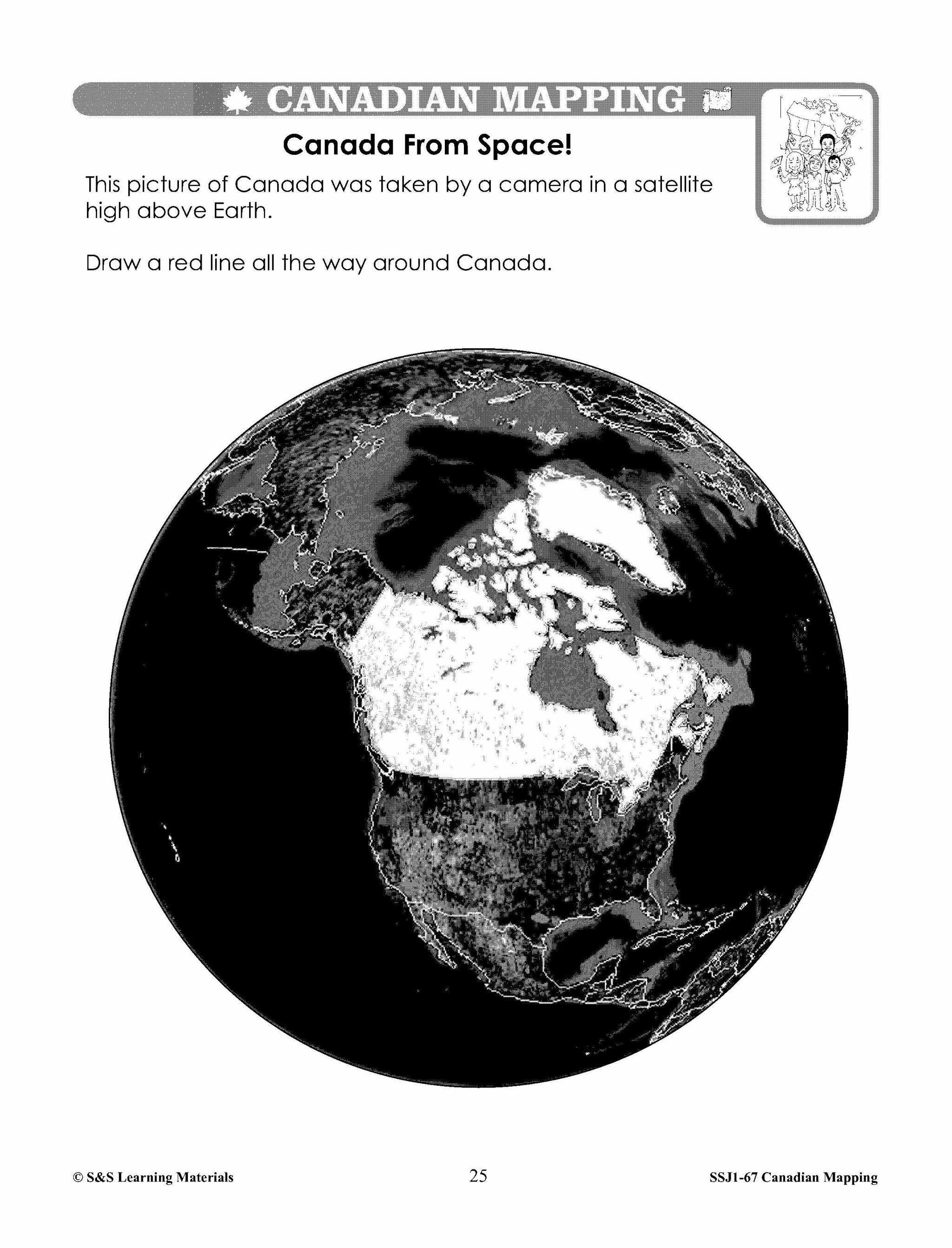
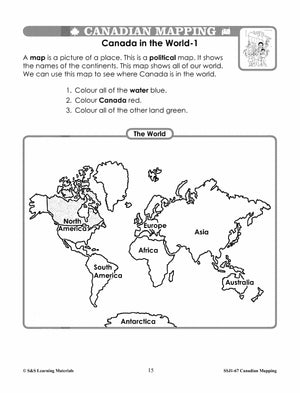
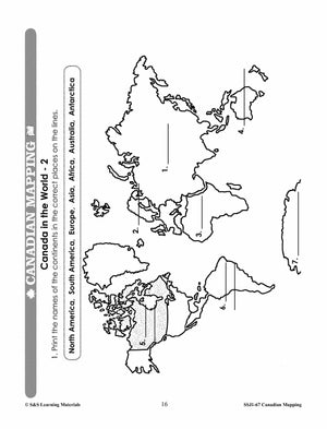
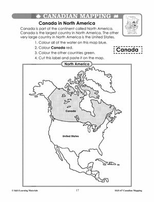
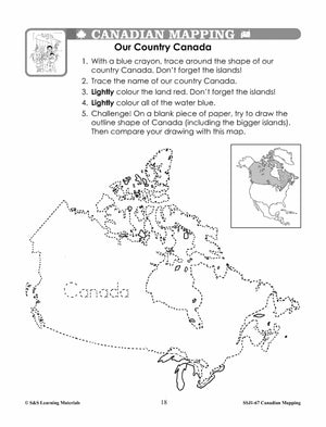
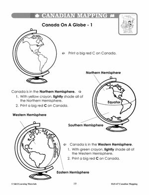
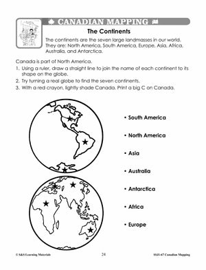
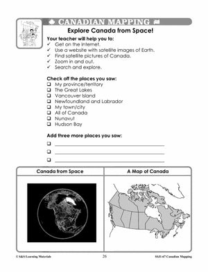
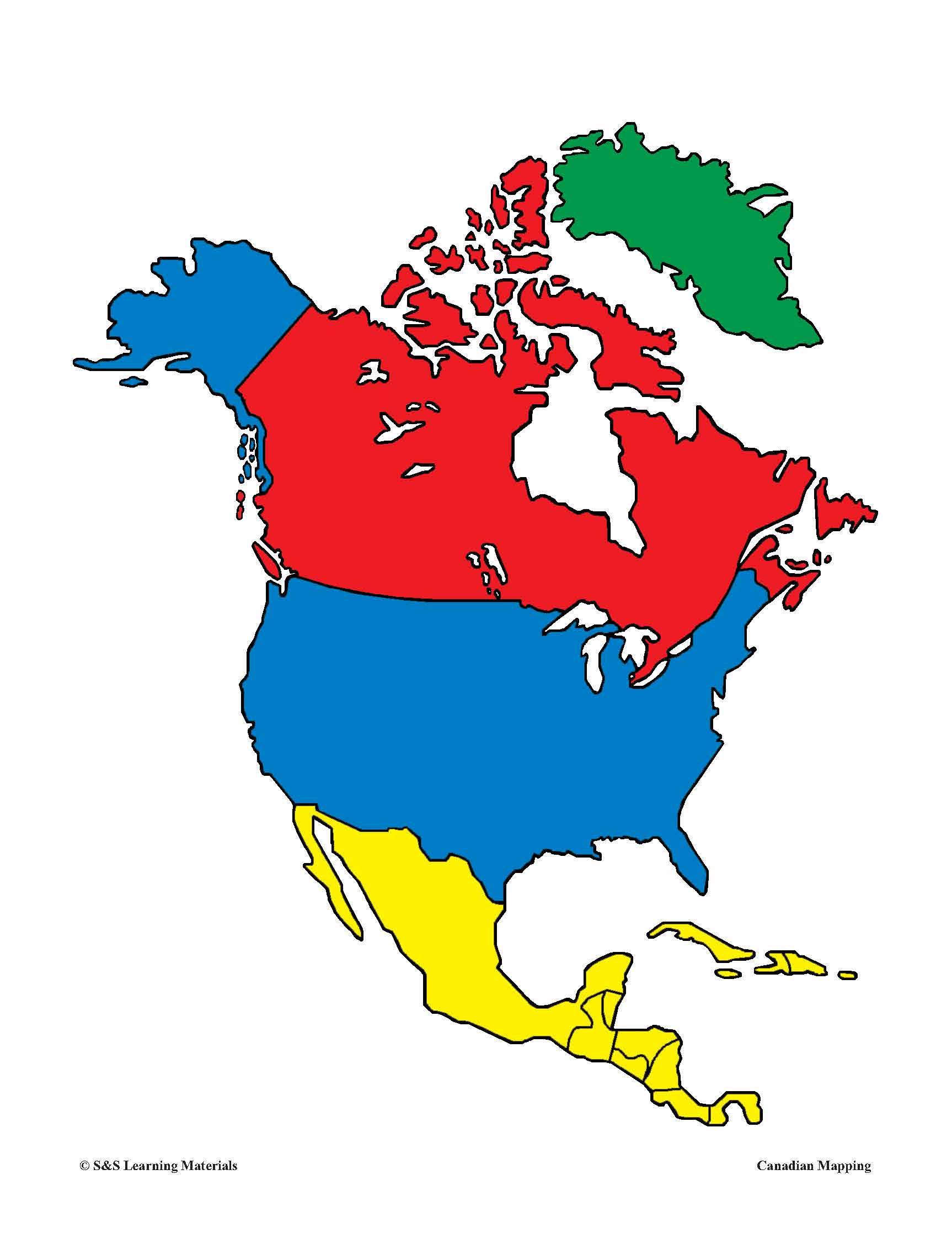
Canada in the World Mapping Activities Grades 1-3
$6.95 CAD
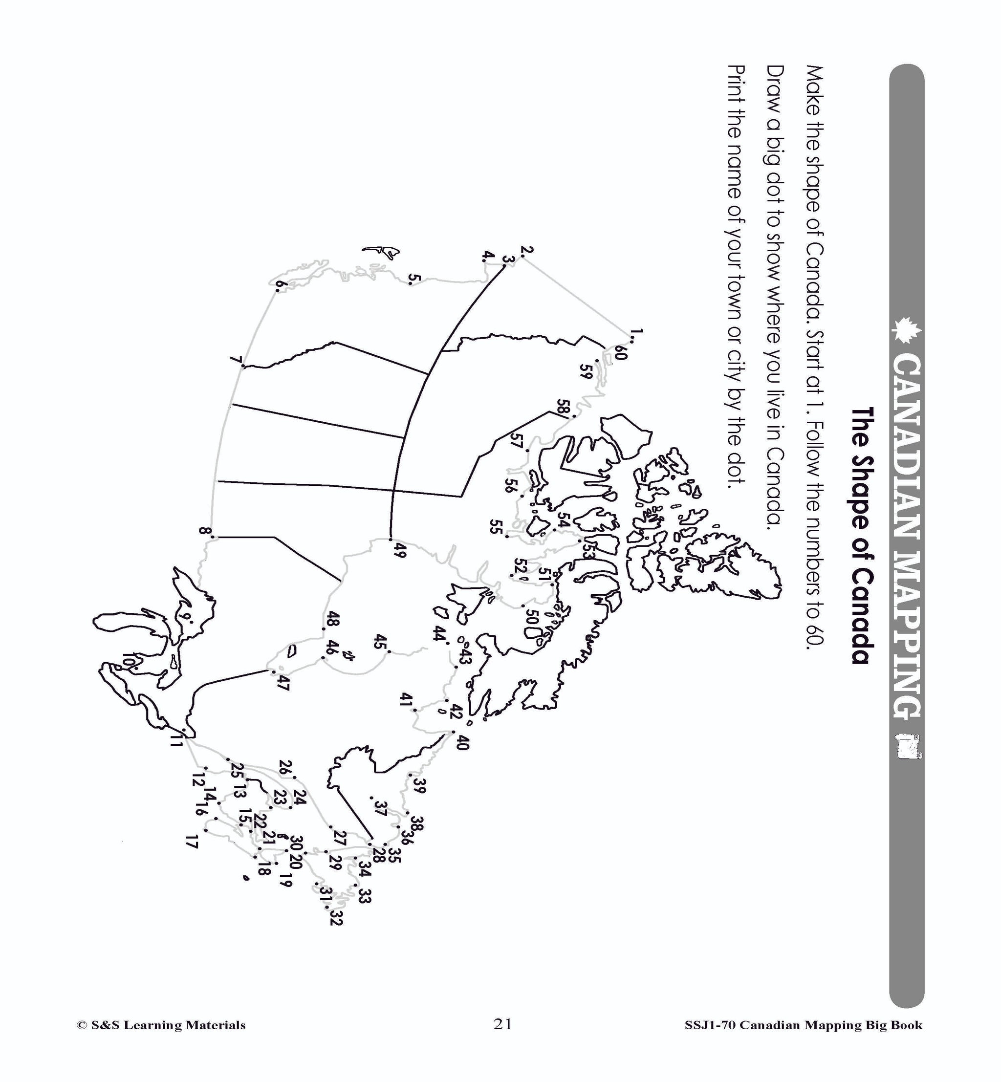
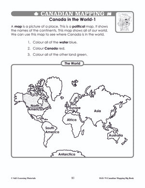
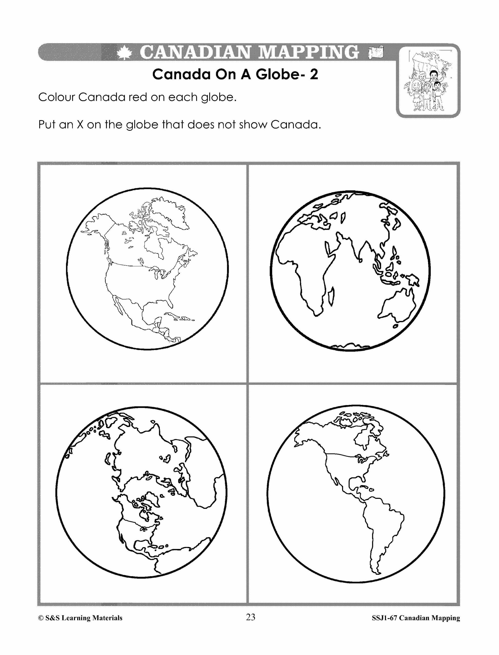
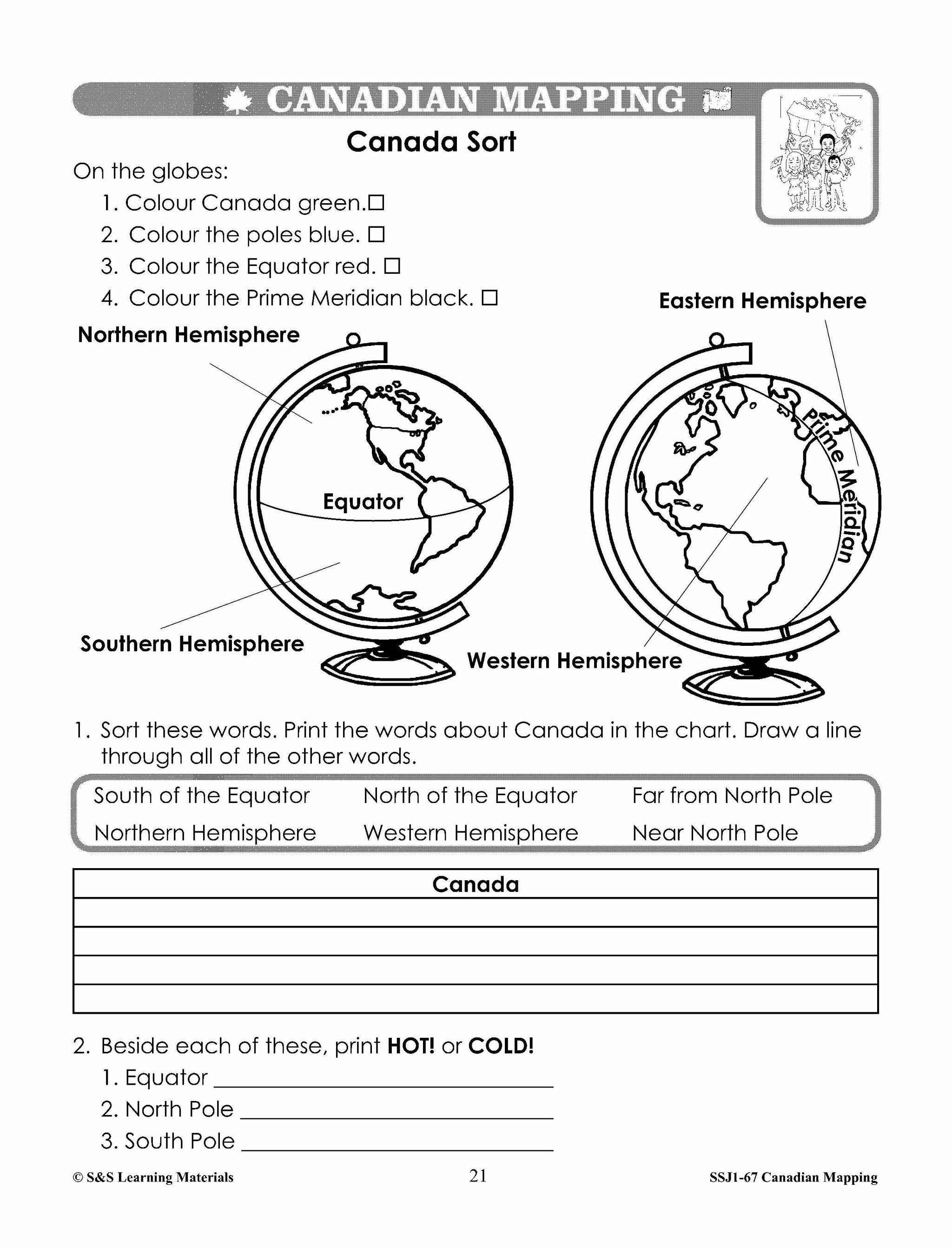
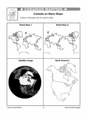
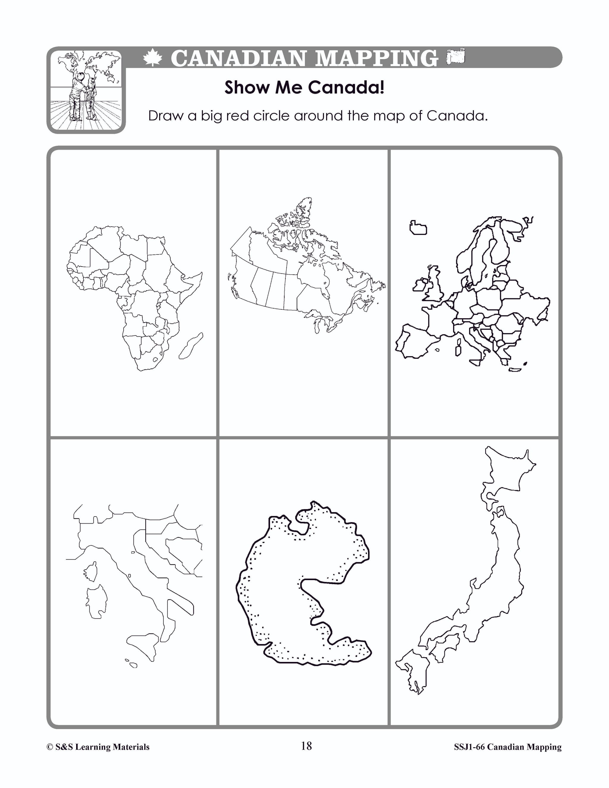
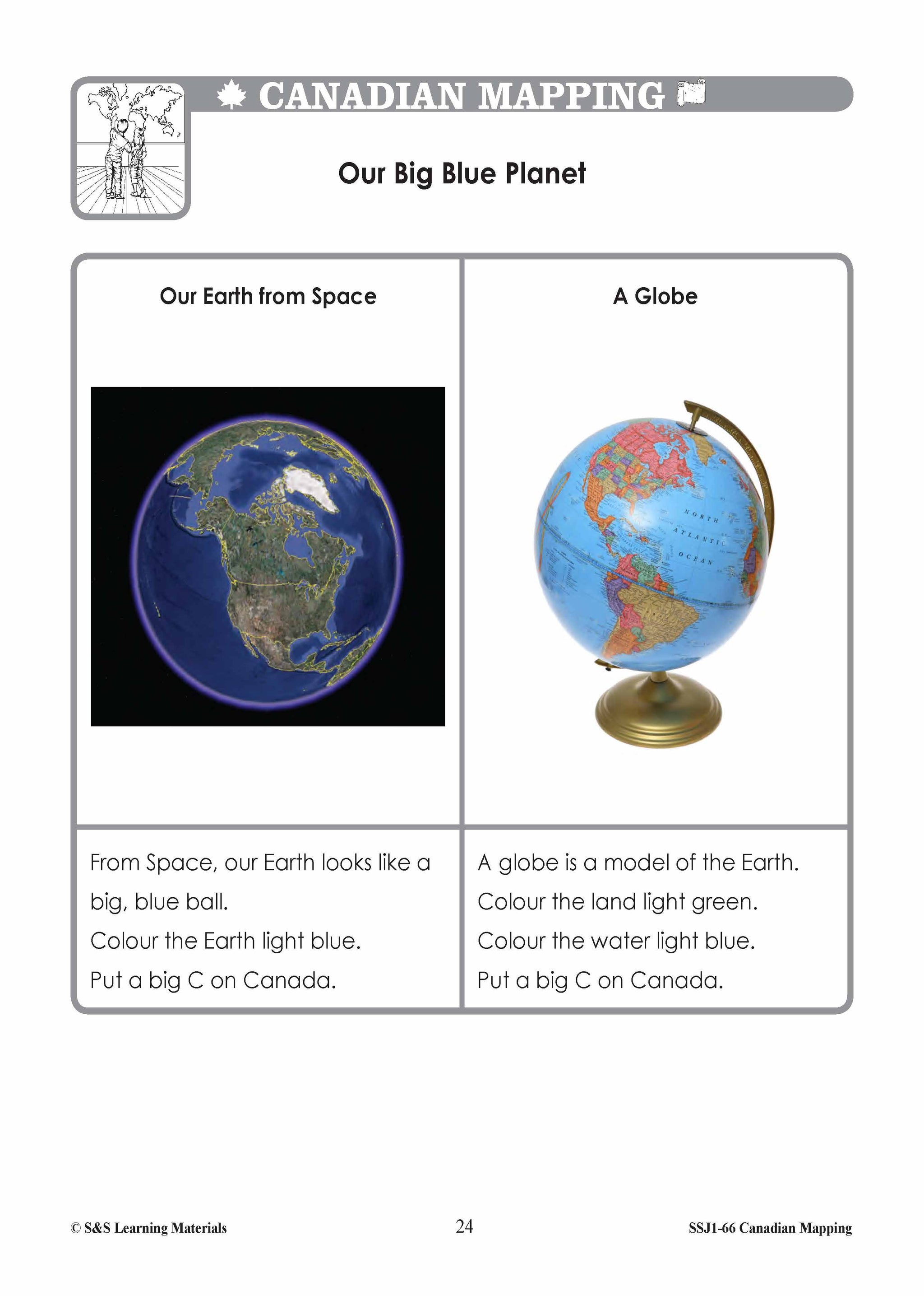
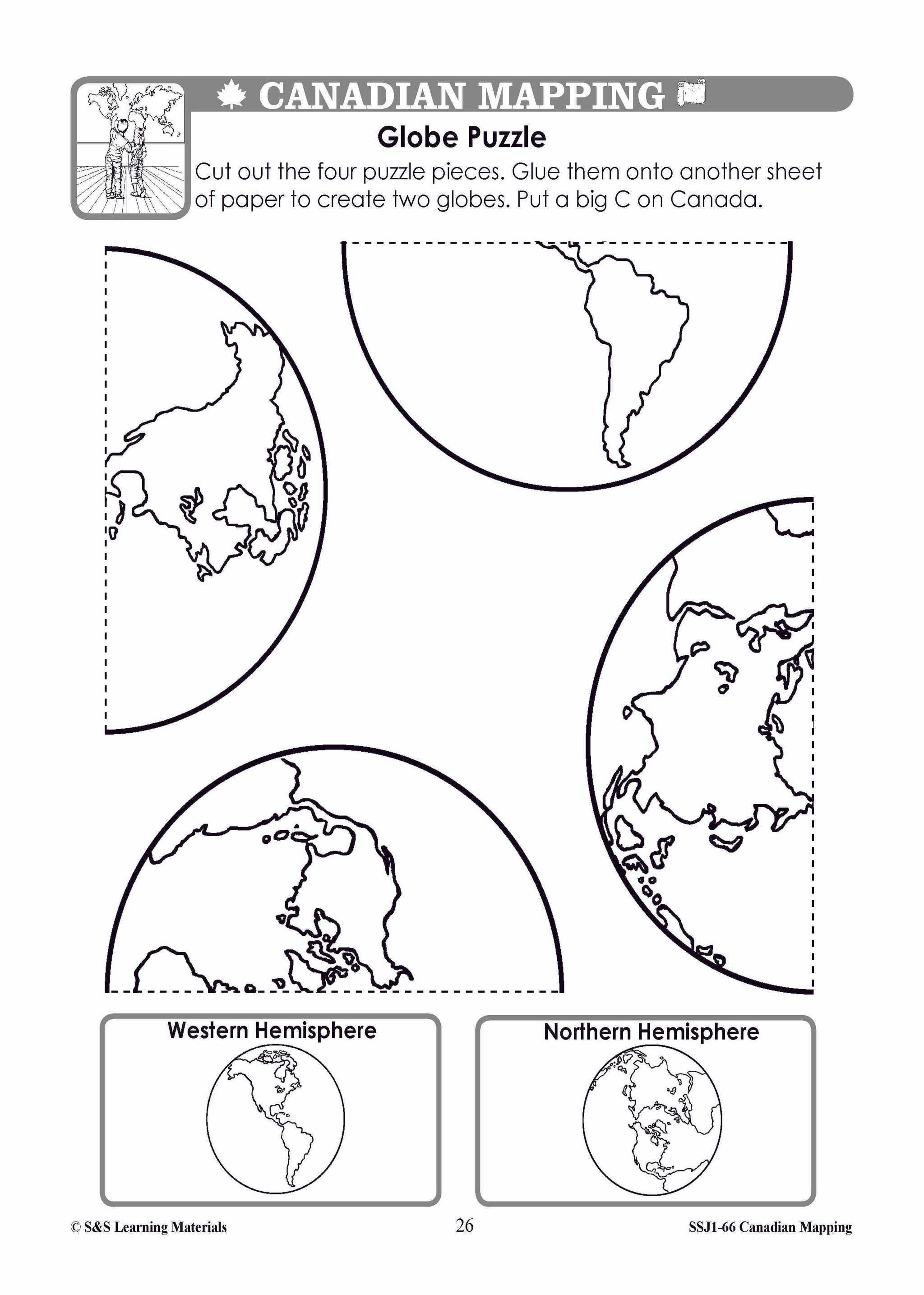
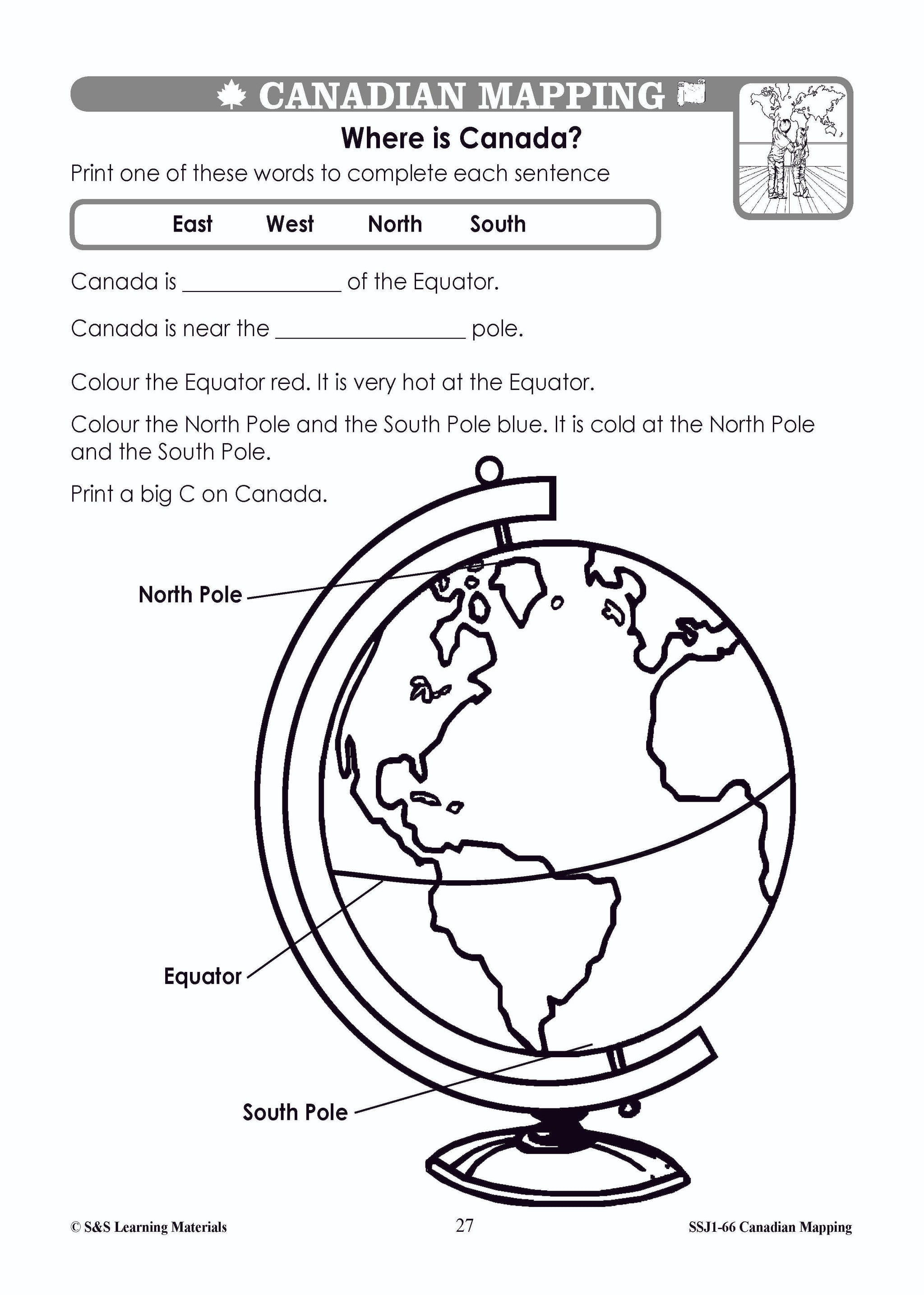
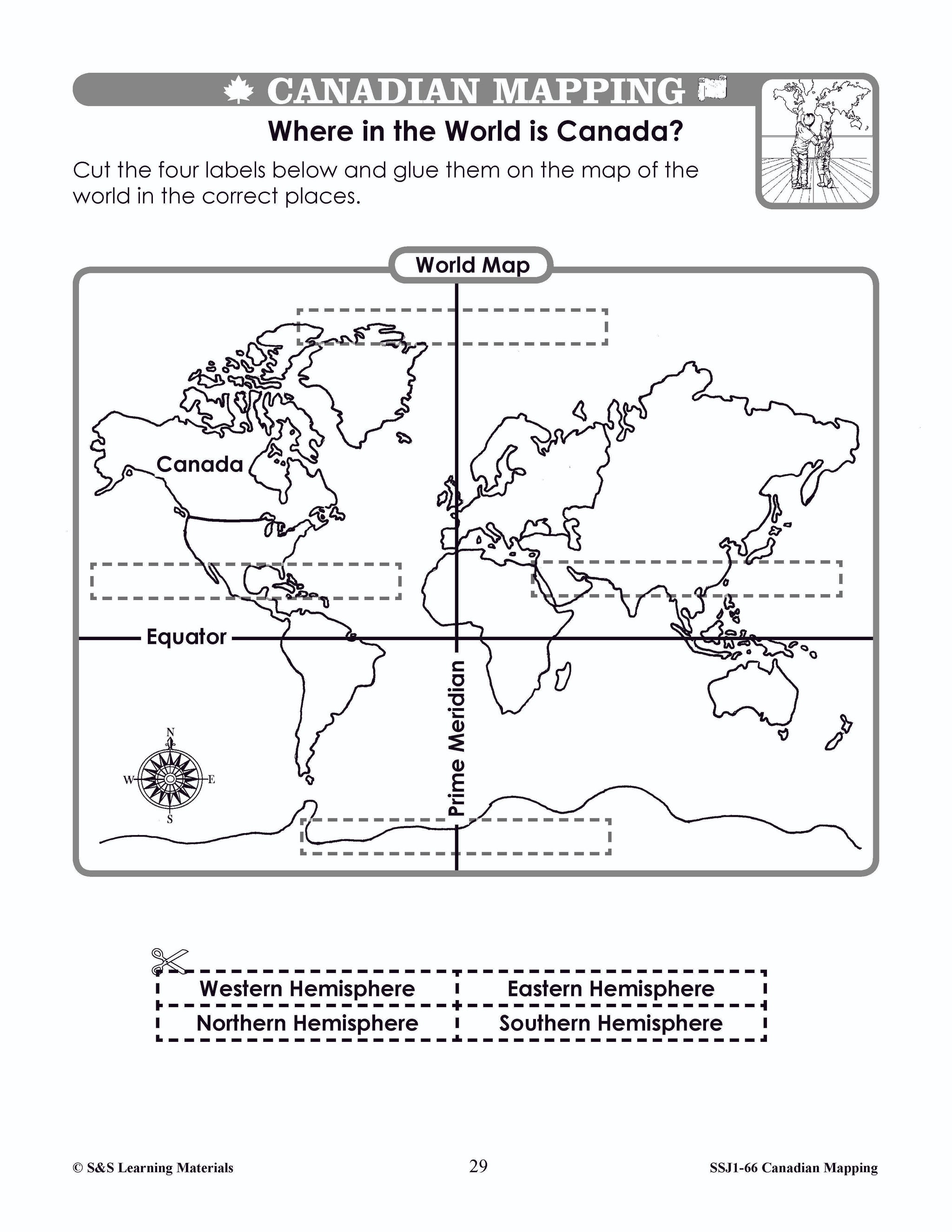
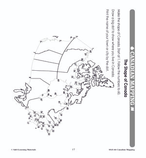
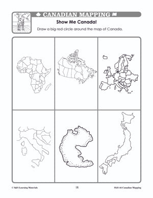
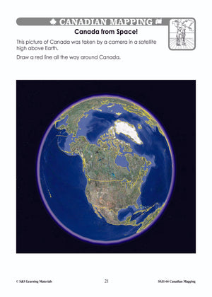
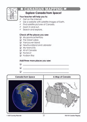
Students will gain an understanding of where Canada is in the World. Nine activities with maps help students: recognize the shape of Canada; locate Canada in North America and the world; find Canada on the globe in various views; view...

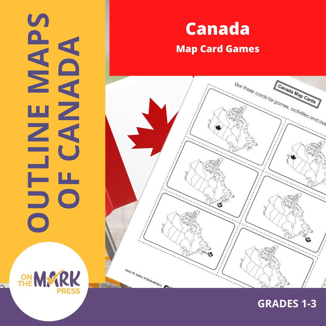


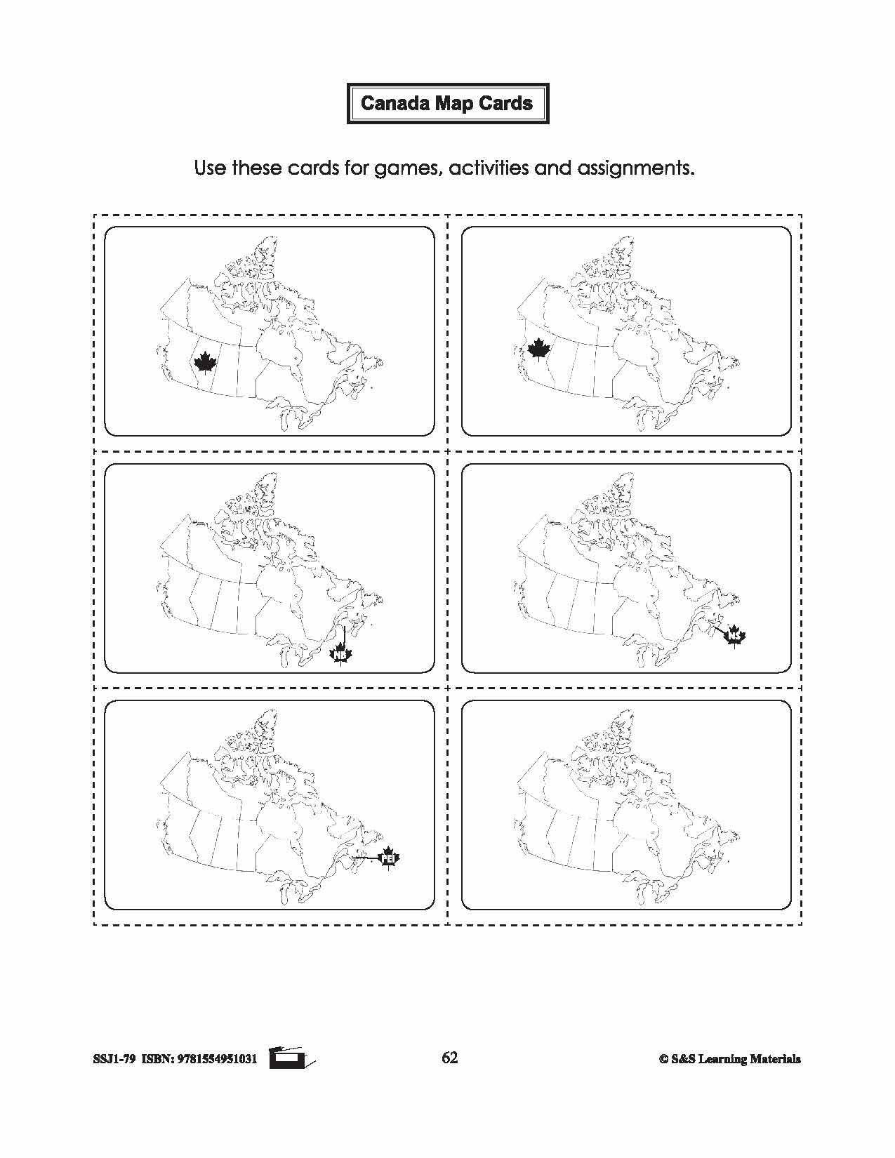
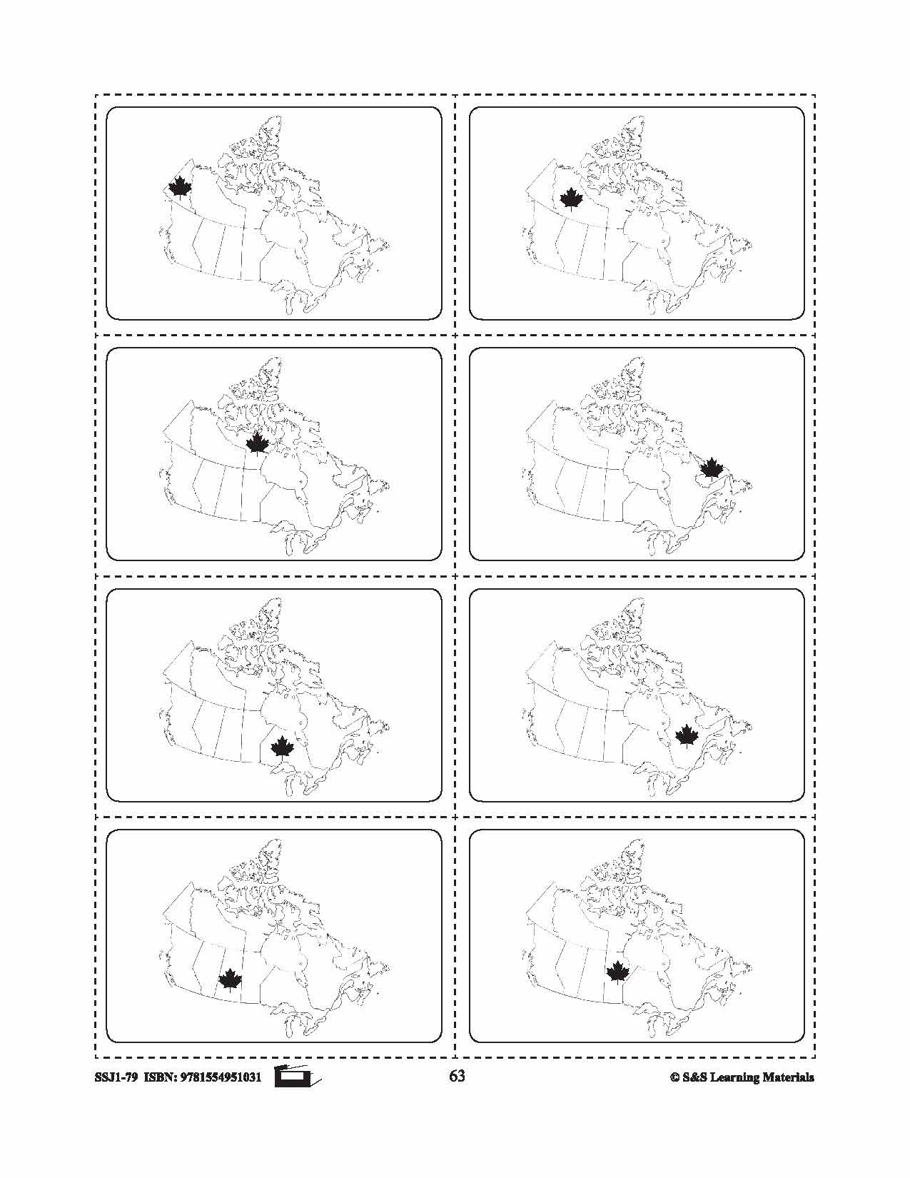

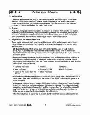
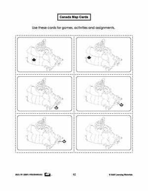
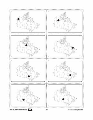
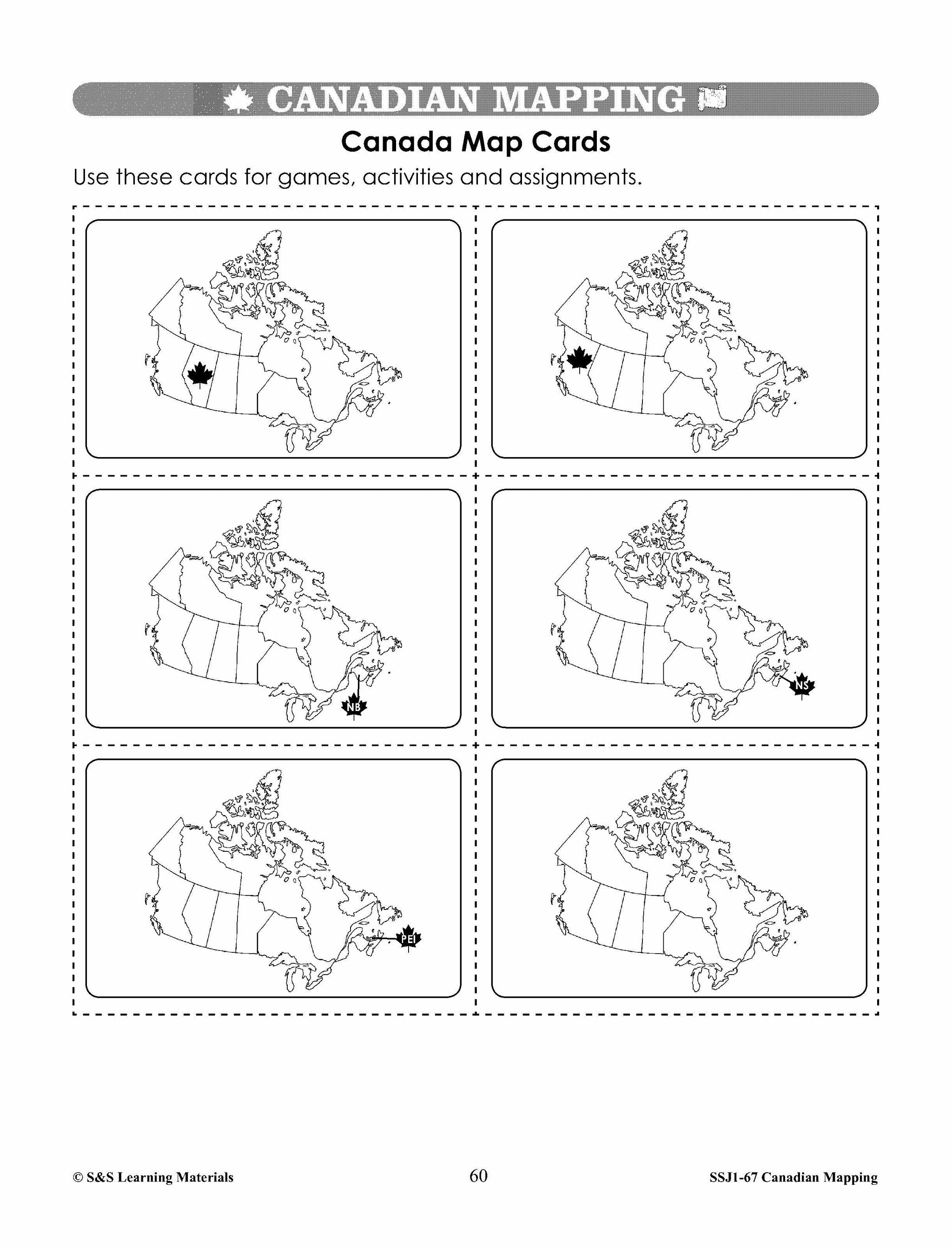
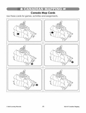
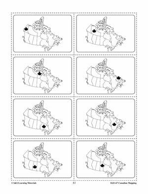
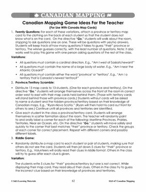
Canada Map Card Game Gr. 1-3
$2.45 CAD
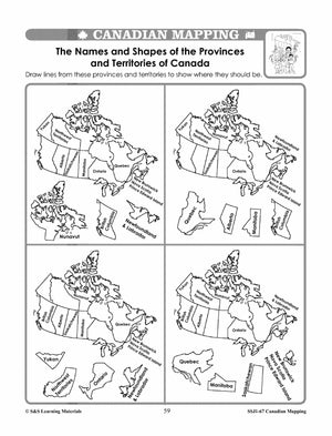
This package includes a card representing all provinces and territories. The following games can be placed with the cards: 20 Question Game: Attach a map card to the clothing at the back of each student. Encourage students to use direction words...


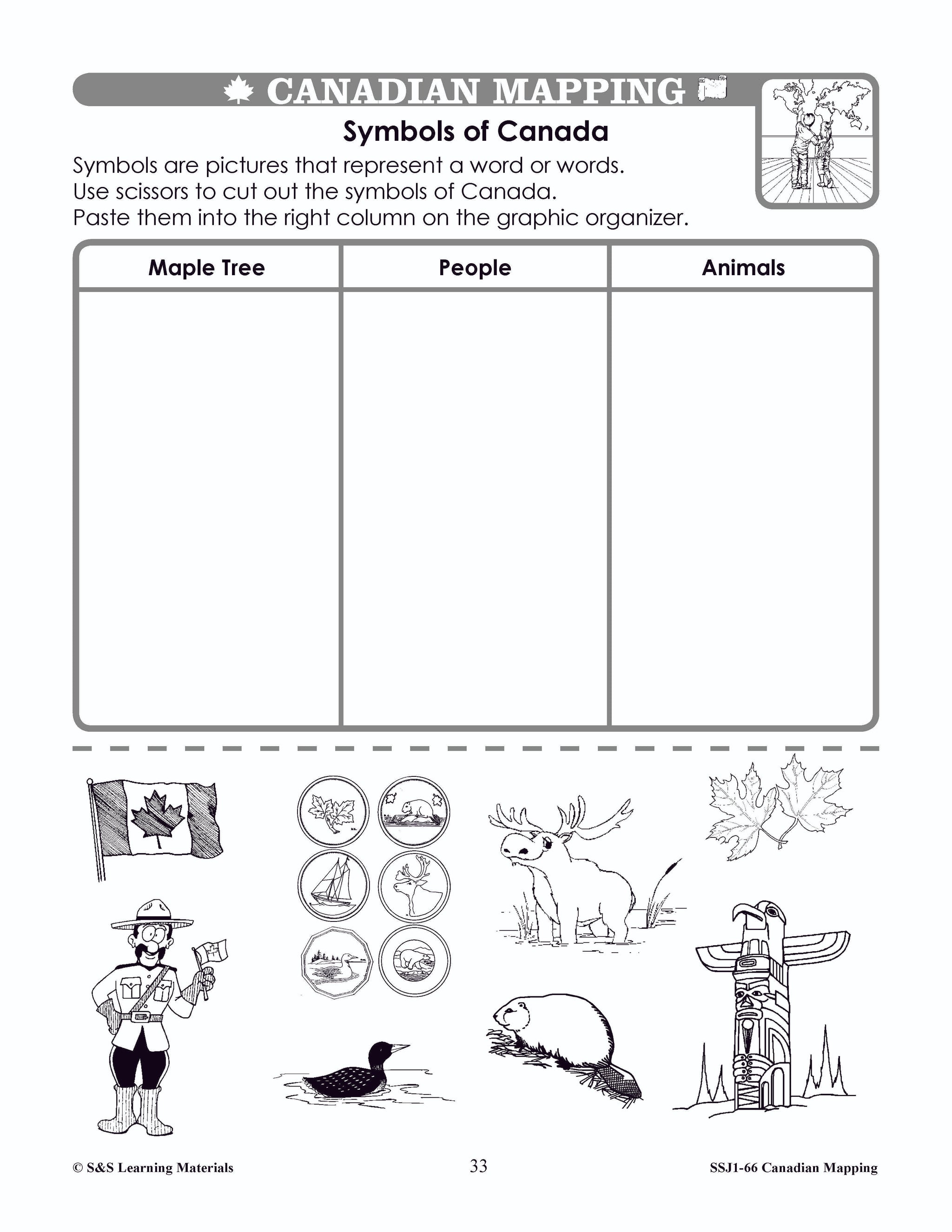


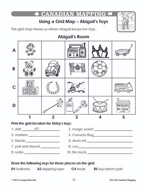

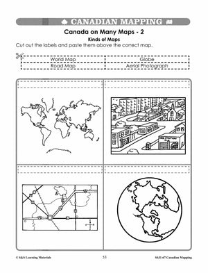
Canada Maps & Map Features Worksheets Grades 1-2
$8.95 CAD
Students will learn about Canada's Maps and map features with the nineteen worksheets. Teacher information on these topics: what a map is, types of maps, how to read a map, map indexes, hemispheres, directional indicators, and map symbols. The glossary...


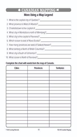
Canada Maps & Map Features Worksheets Grades 2-3
$8.95 CAD
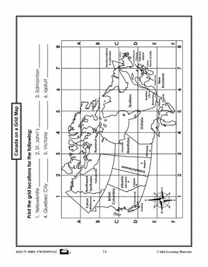
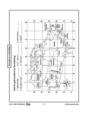
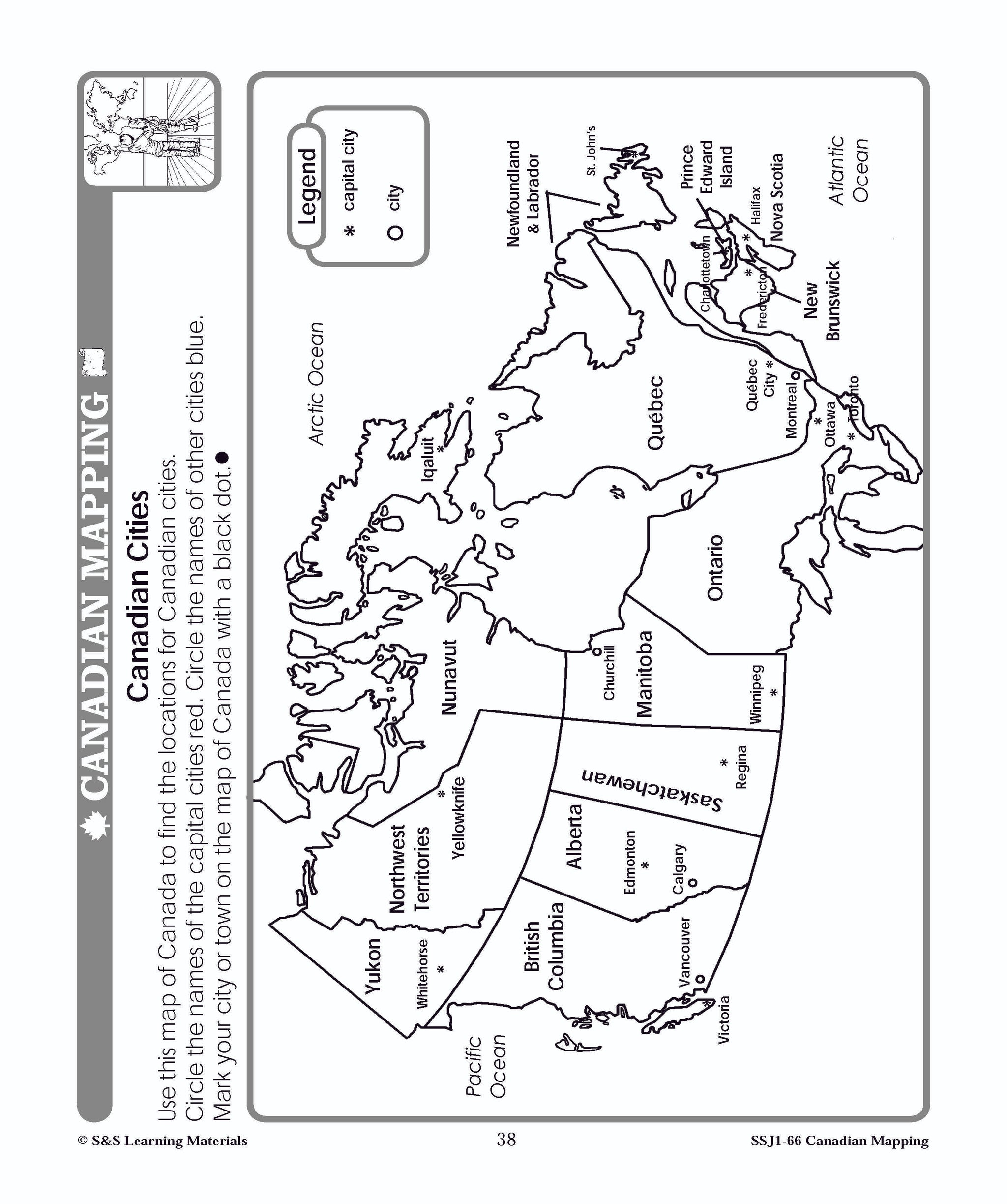
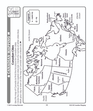
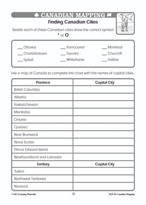
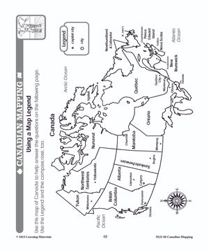
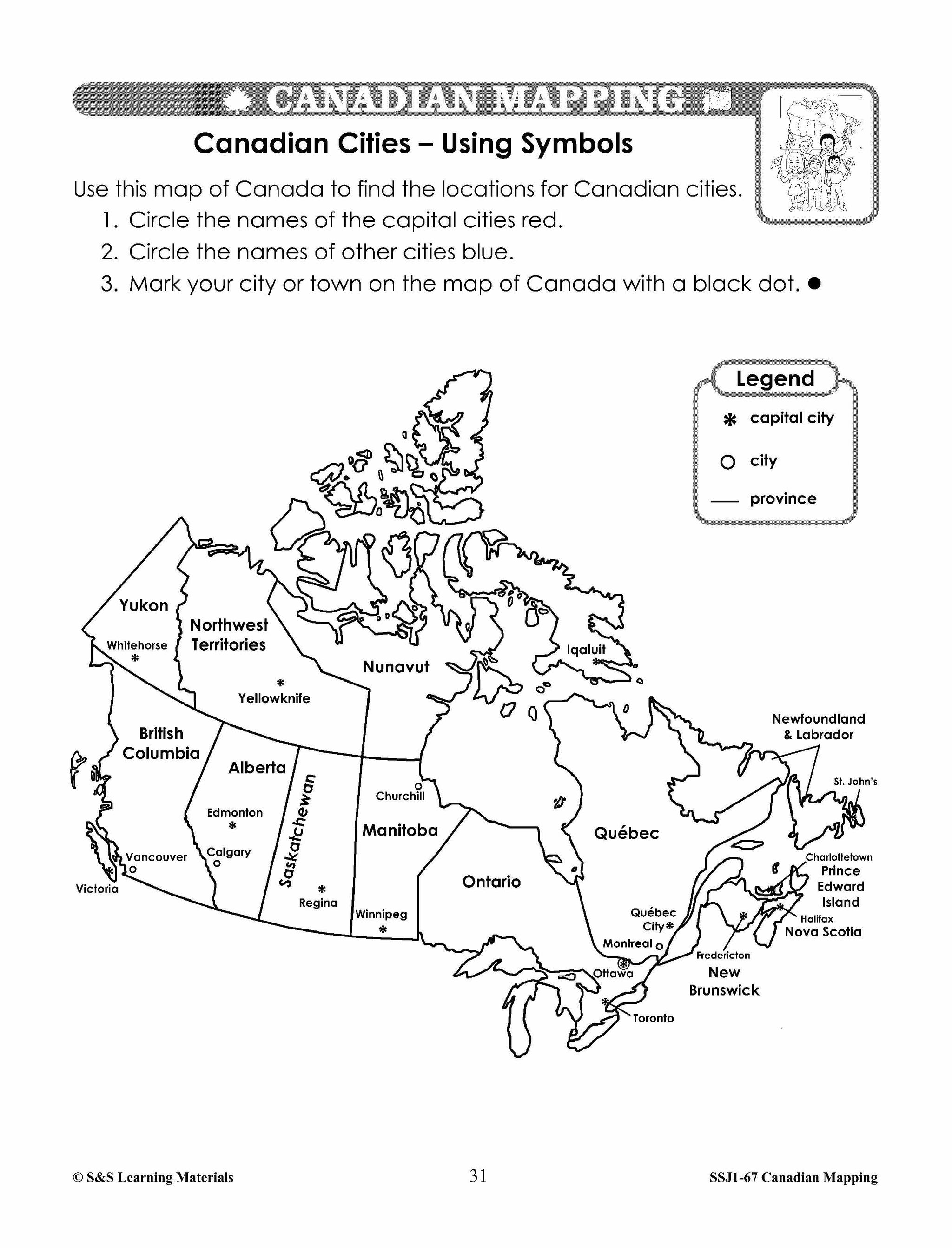
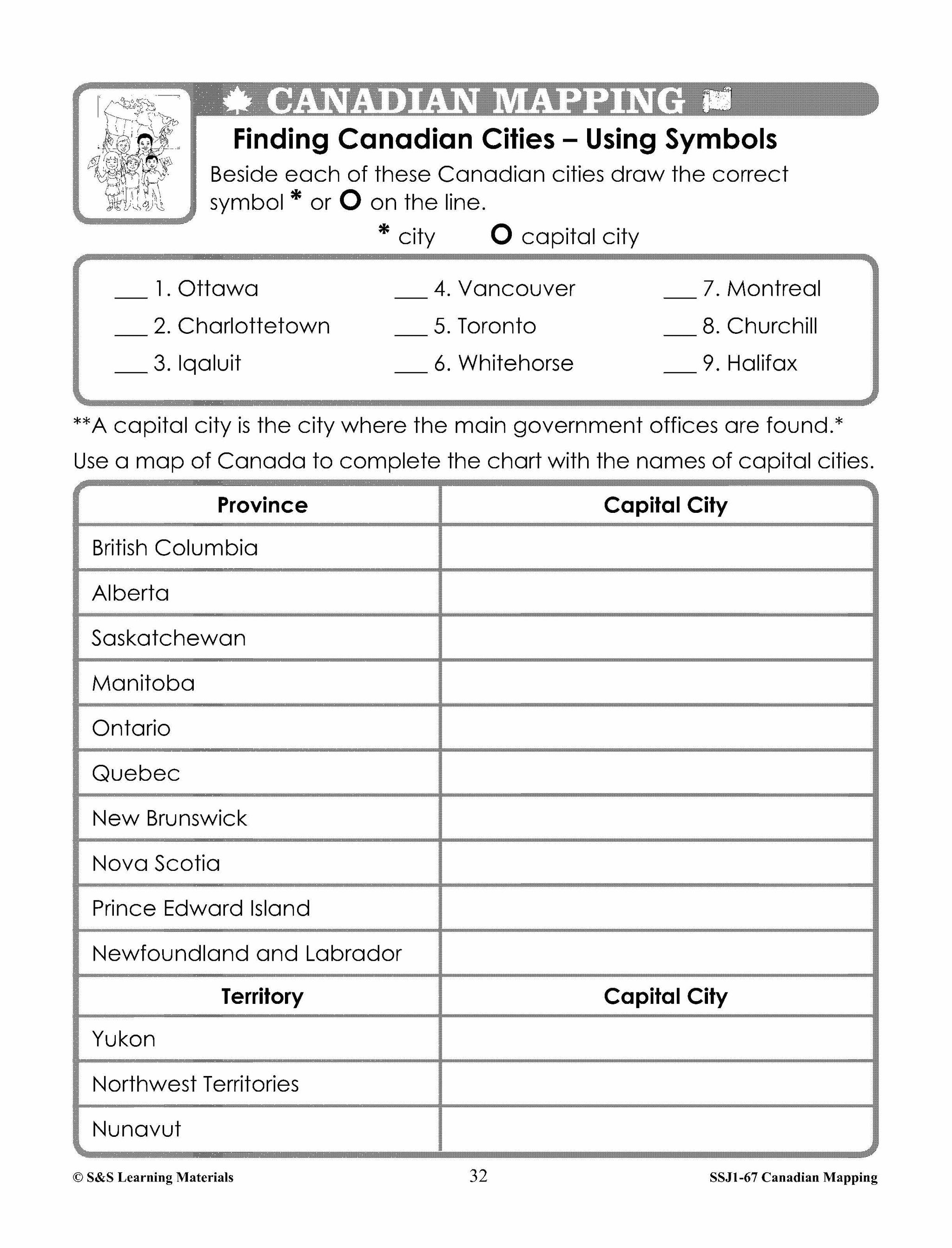
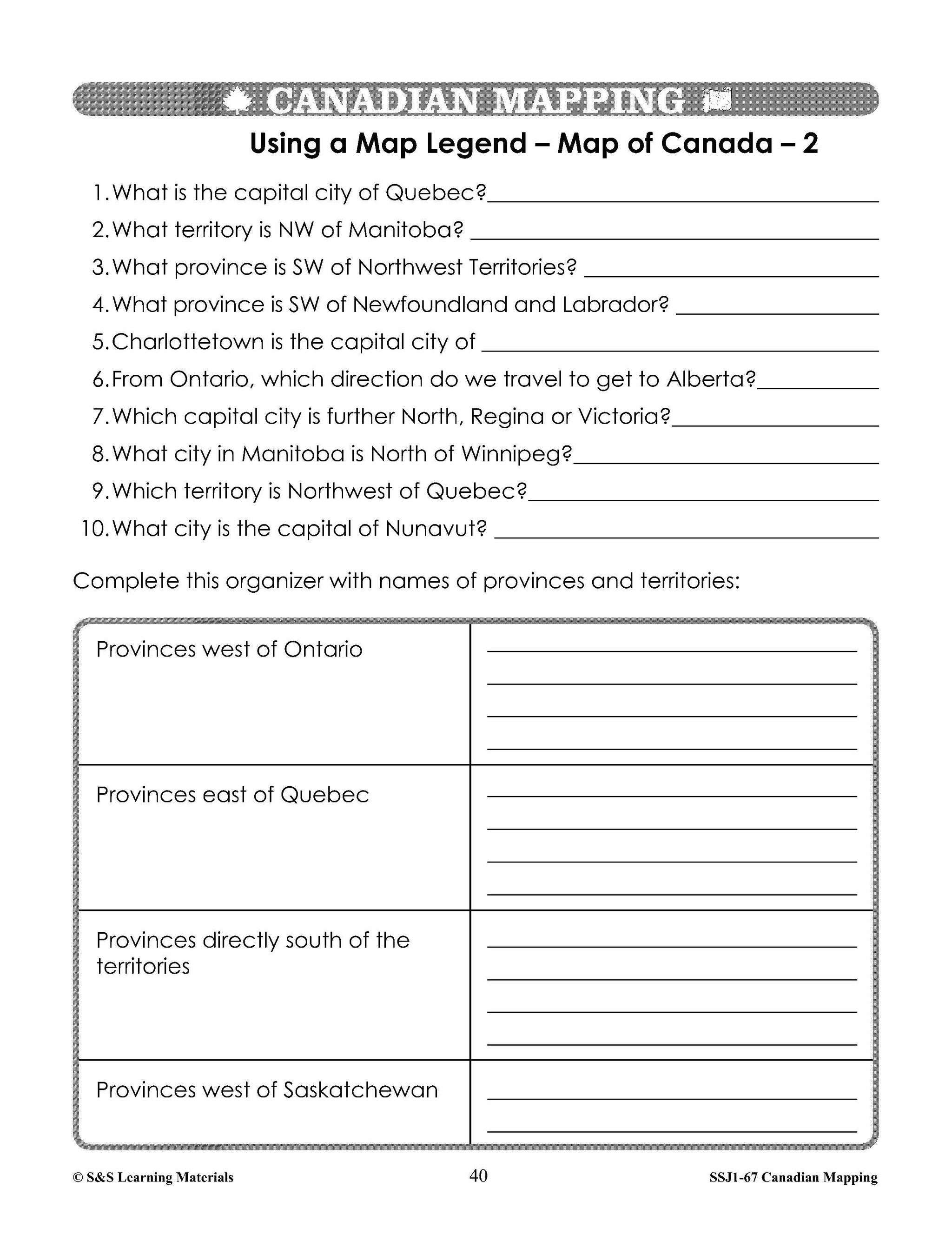
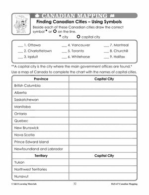
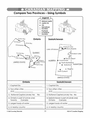
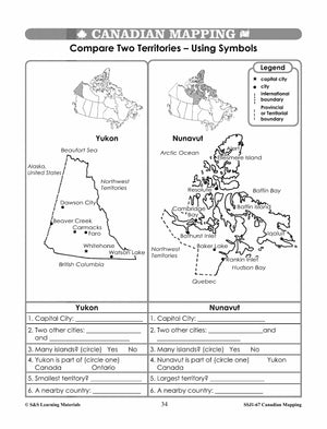
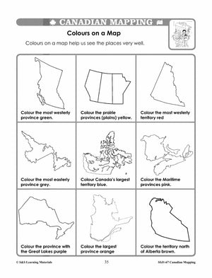
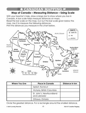
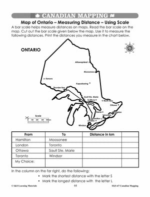
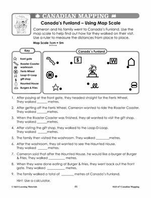
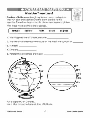
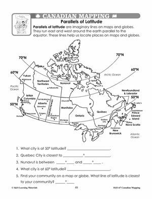
Students will learn about Canada Maps and map features with the thirty worksheets in this lesson. Mapping symbols, using cardinal and intermediate directions, measuring distances using standard units of scale, locating Canadian cities, political boundaries, meridian of longitude, parallels of...

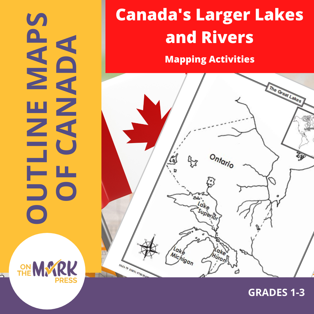

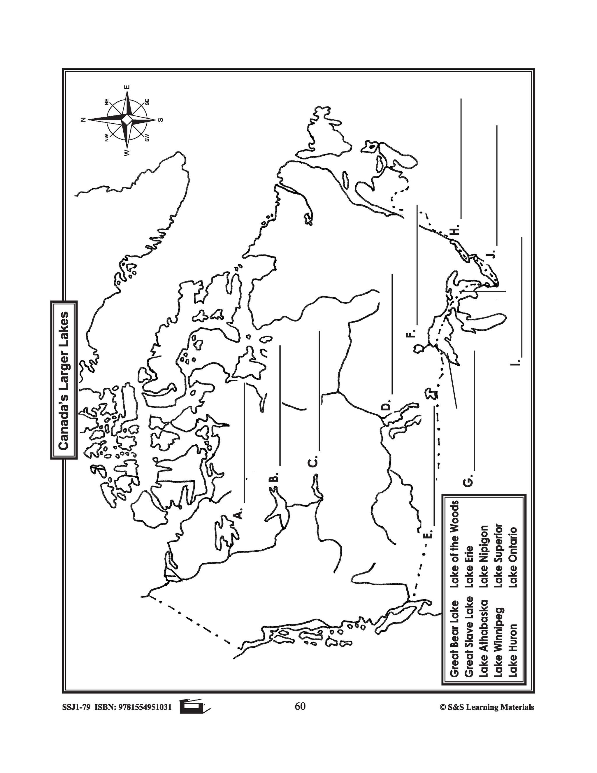
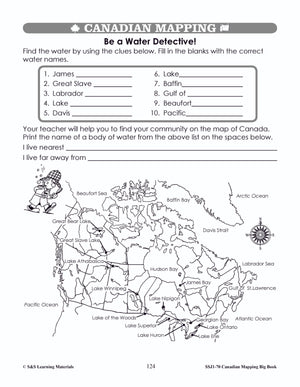
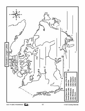
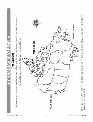
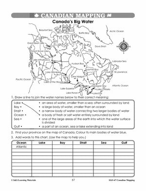
Canada's Larger Lakes & Rivers Mapping Activities Gr. 1-3
$4.95 CAD
This package includes one worksheet for the following: Labelling the Great Lakes Labelling Canada's Larger Lakes


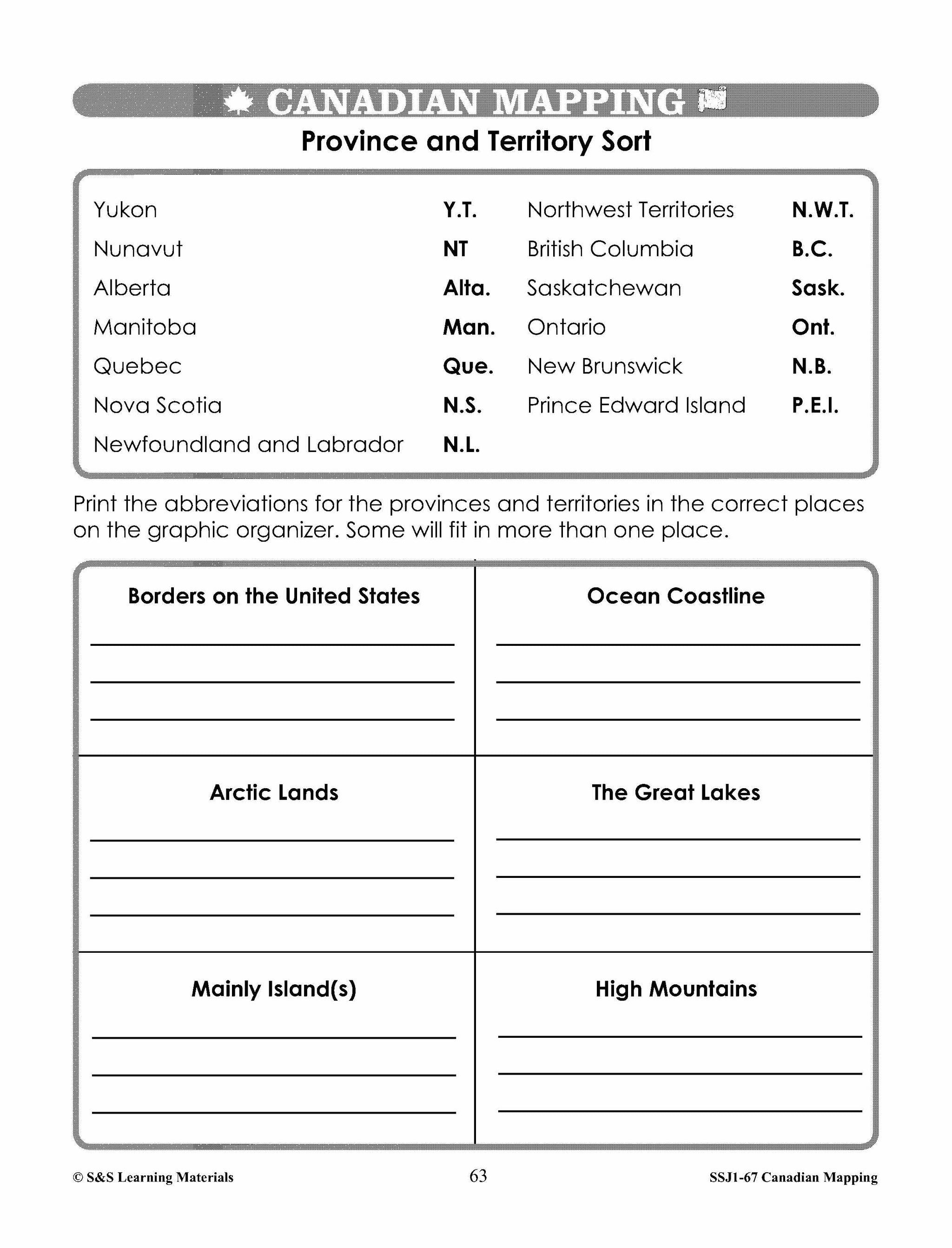


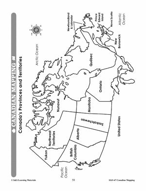
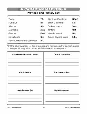


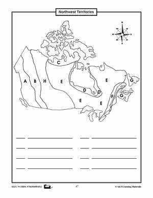
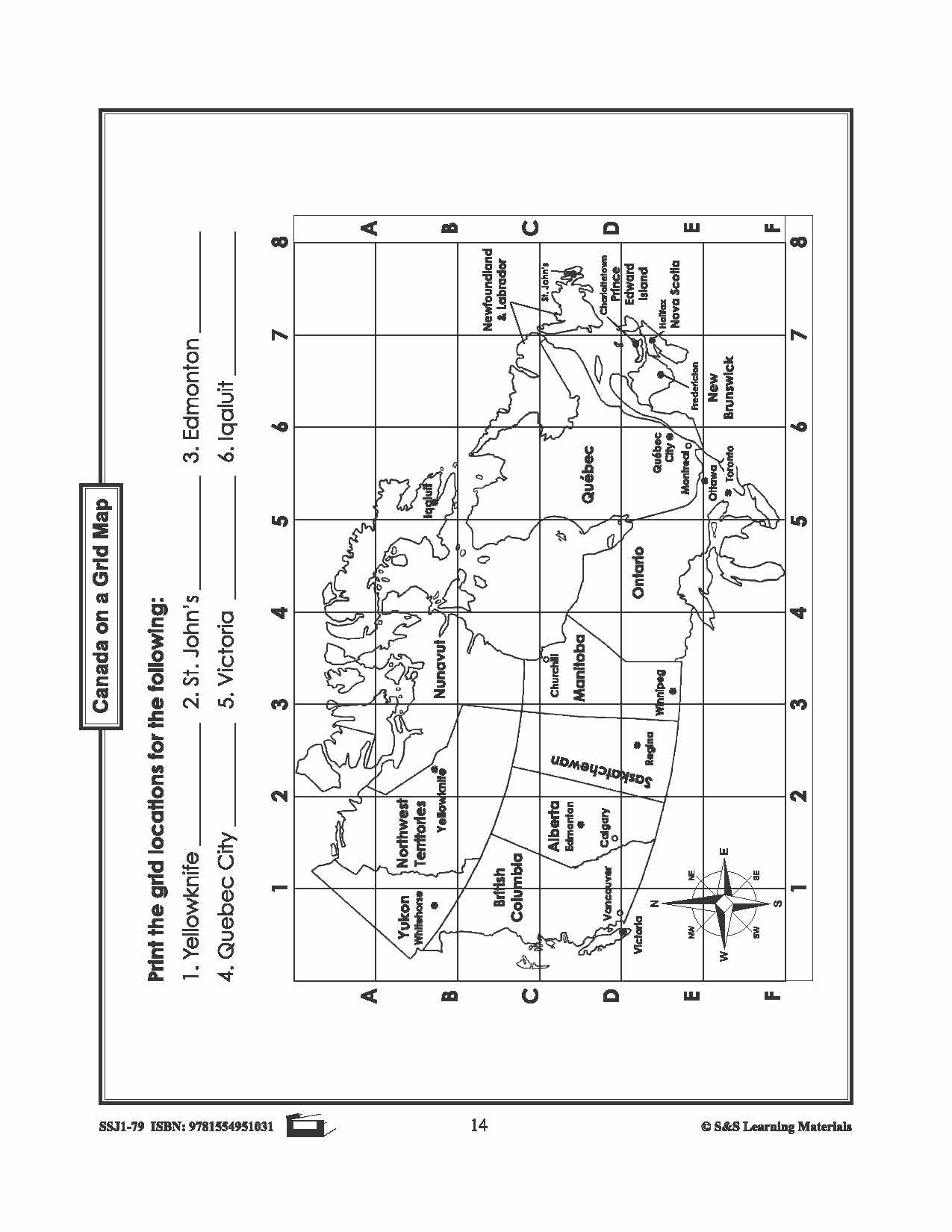
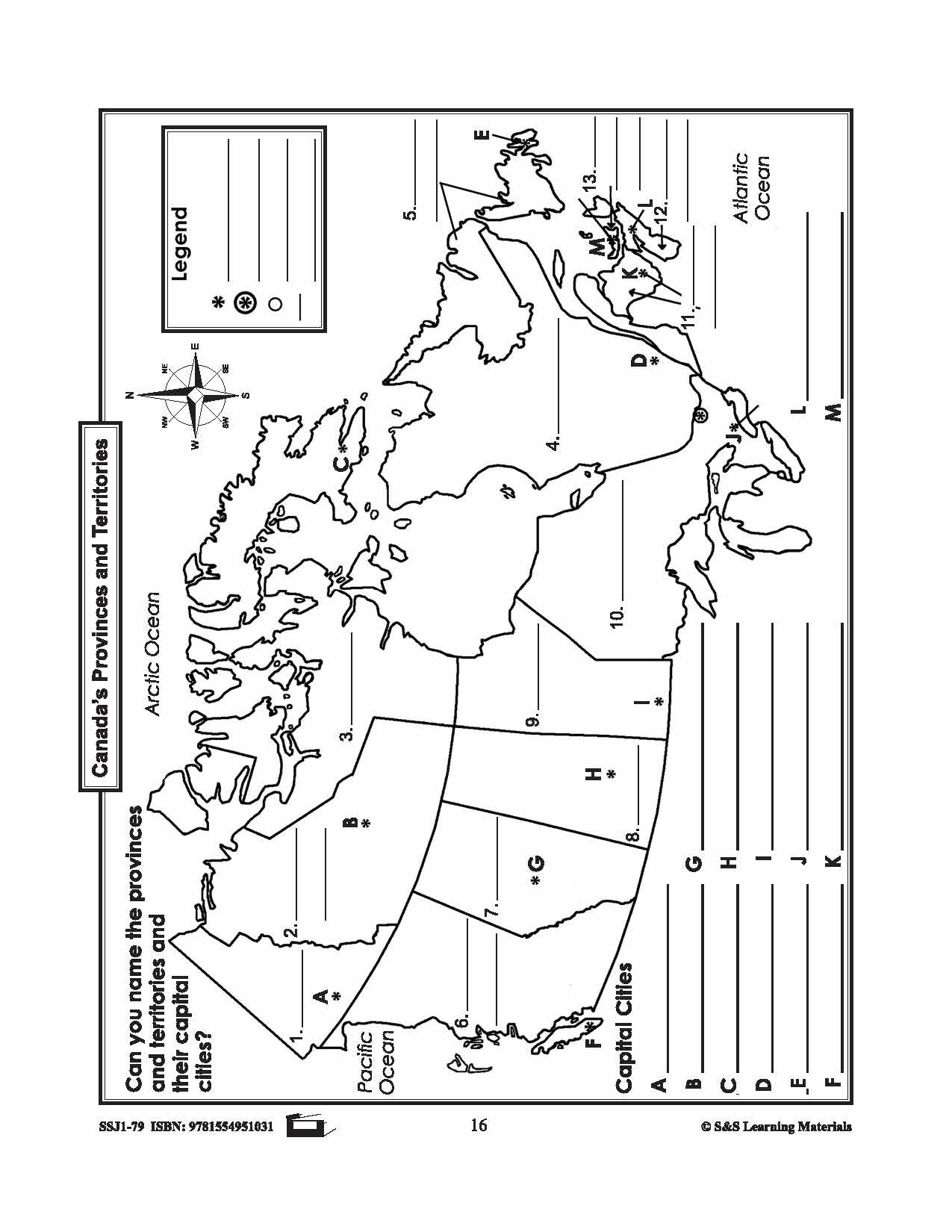
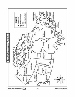
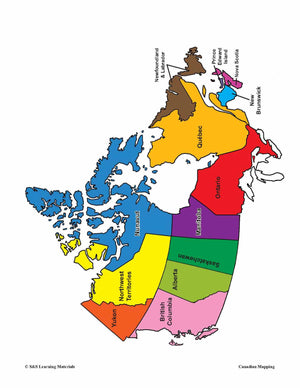
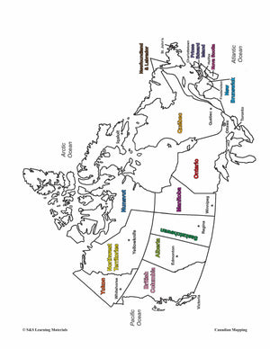
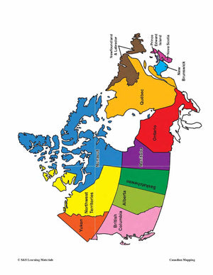
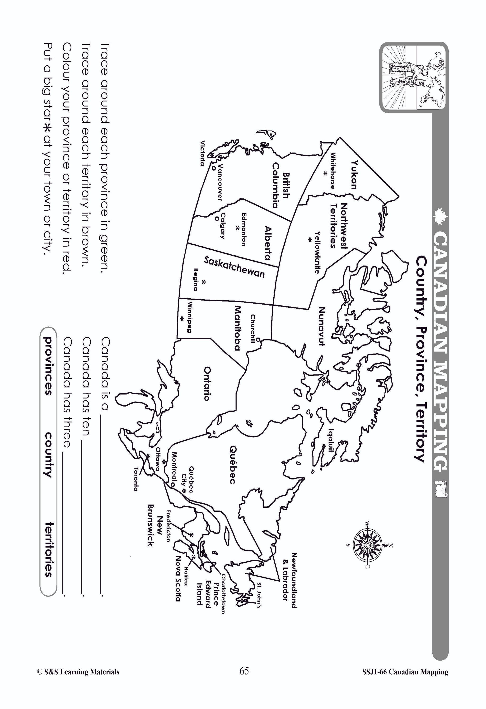
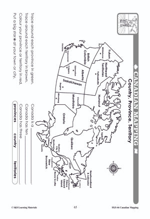
Canada's Provinces & Territories Mapping Worksheets Grades 2-3
$7.25 CAD
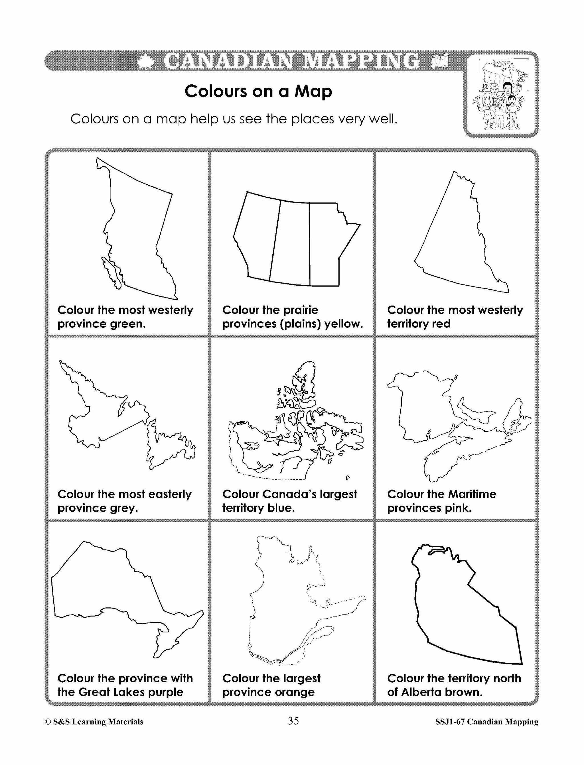
Students will learn about Canada's provinces and territories with the seven mapping worksheets. Teacher information on these topics: what a map is, types of maps, how to read a map, map indexes, hemispheres, directional indicators, and map symbols. The glossary...


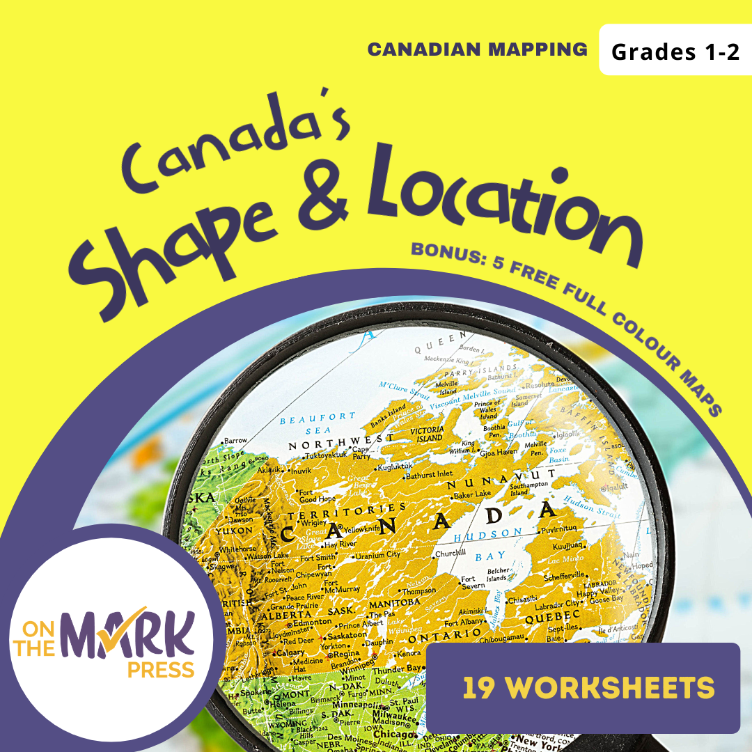
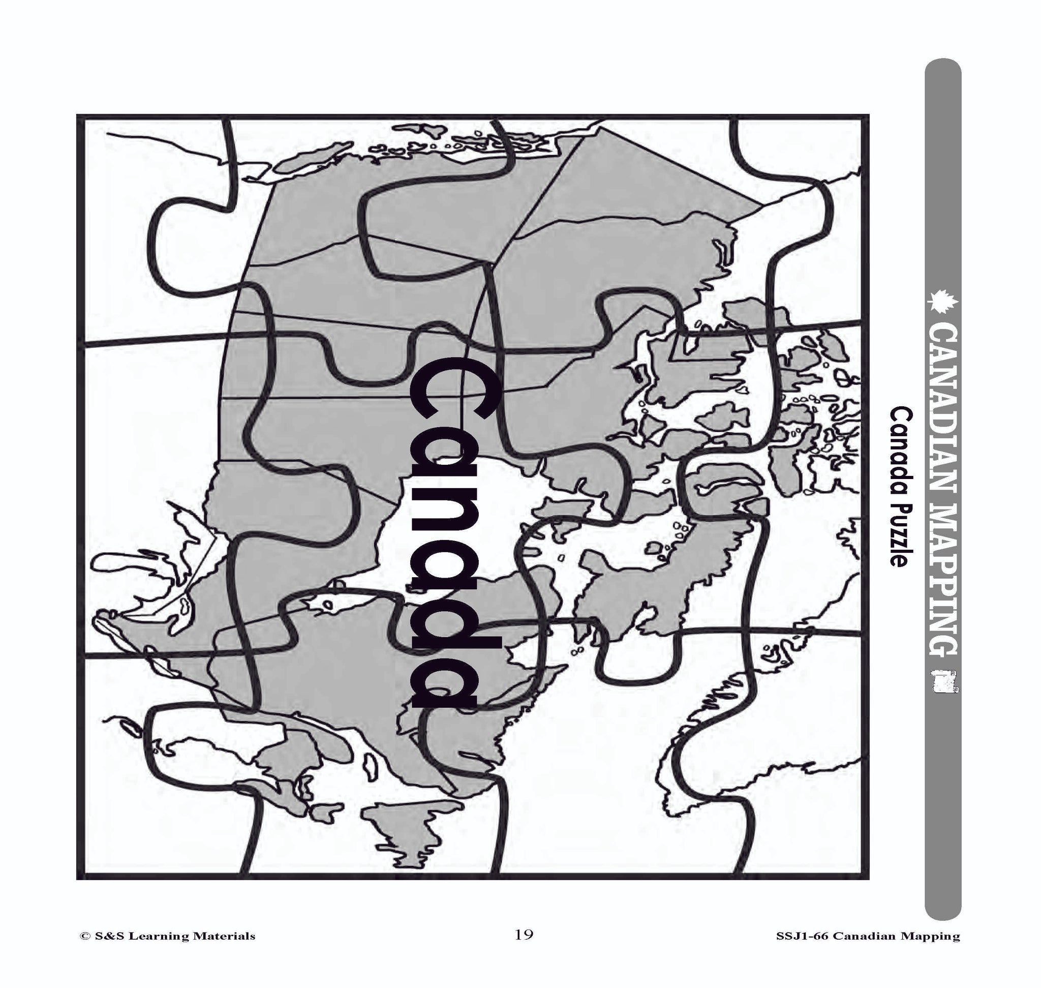


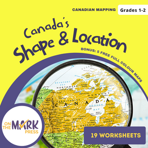
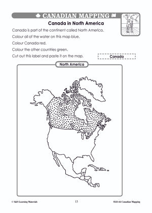
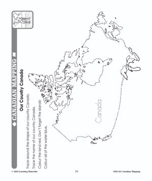
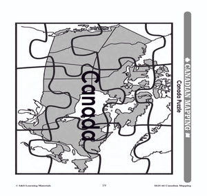
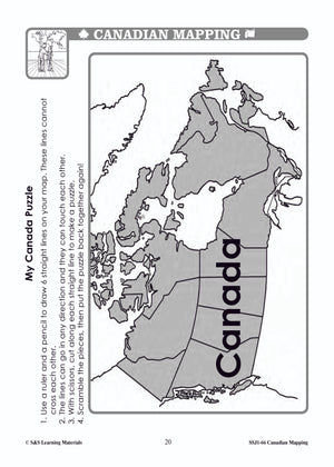


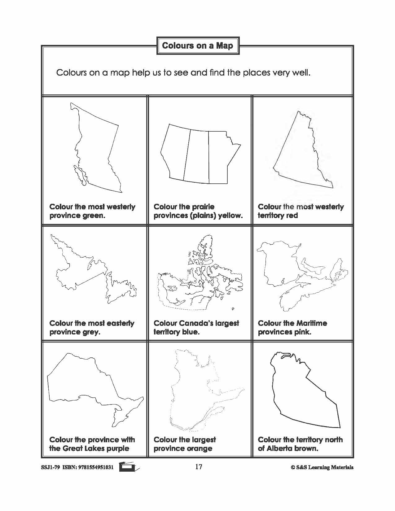
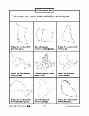
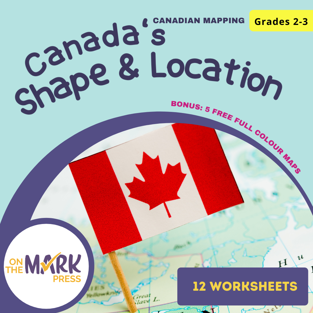
Canada's Shape & Location Mapping Worksheets Grades 1-2
$8.45 CAD
Students will learn about Canada's Shape & Location with the nineteen mapping worksheets. Teacher information on these topics: what a map is, types of maps, how to read a map, map indexes, hemispheres, directional indicators, and map symbols. The glossary...


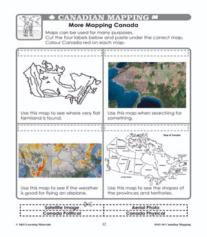
Canada's Shape & Location Mapping Worksheets Grades 2-3
$7.45 CAD
Students will learn about Canada's Shape and Location with the twelve mapping worksheets. Teacher information on these topics: what a map is, types of maps, how to read a map, map indexes, hemispheres, directional indicators, and map symbols. The glossary...


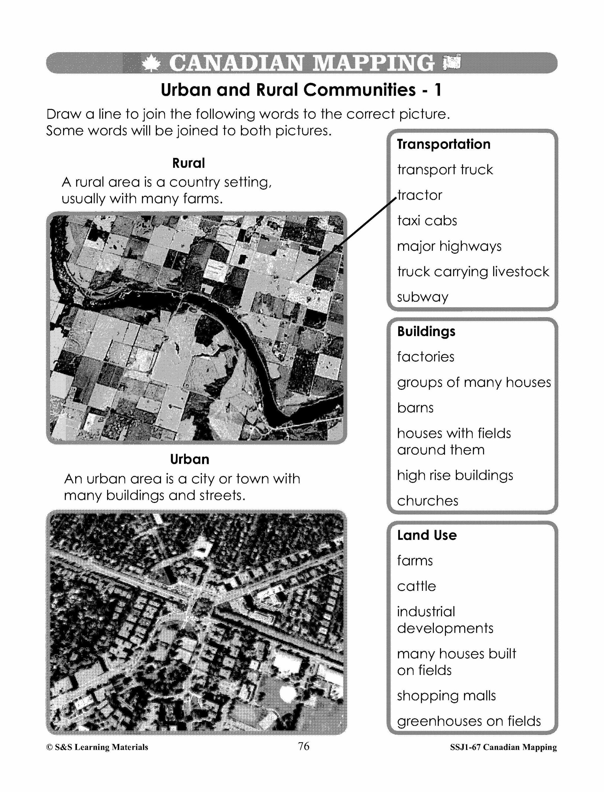
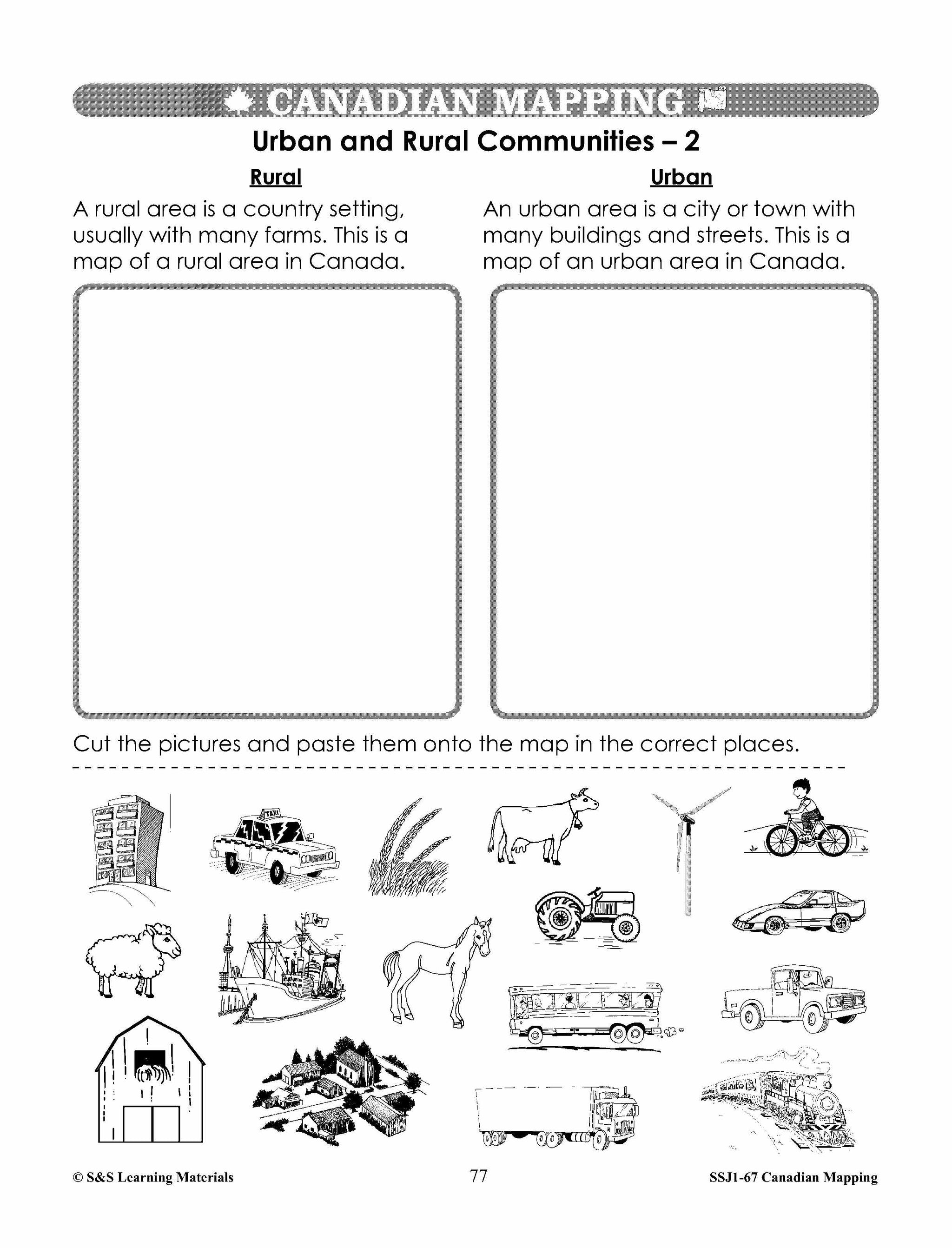
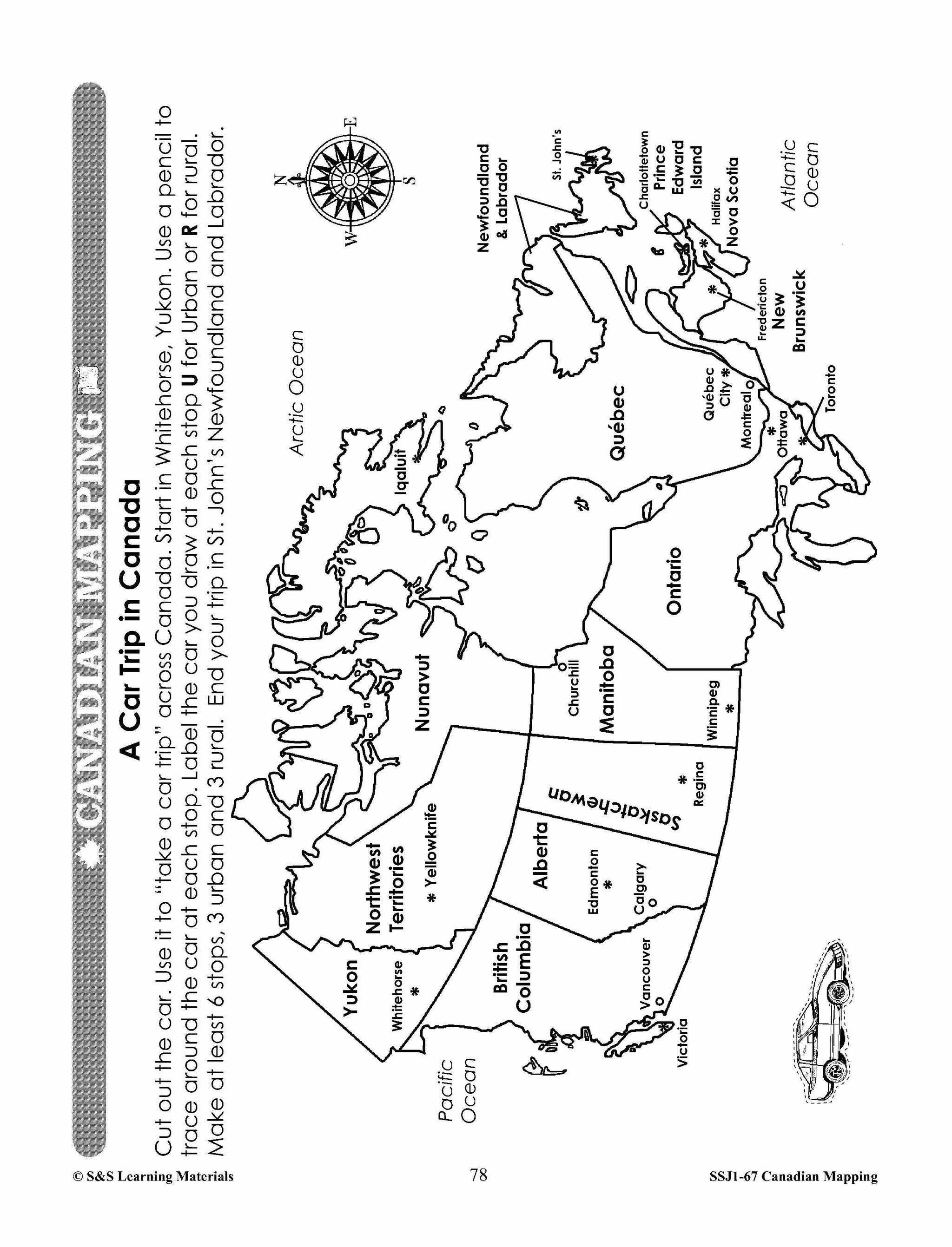


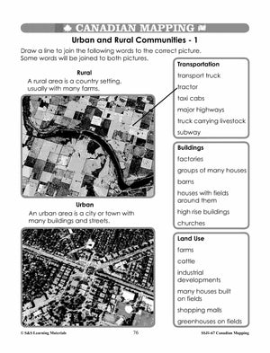


Canadian Communities - Urban & Rural Mapping Worksheets Grades 2-3
$7.25 CAD
Students will learn about urban and rural communities with the six mapping worksheets. Teacher information on these topics: what a map is, types of maps, how to read a map, map indexes, hemispheres, directional indicators, and map symbols. The glossary...


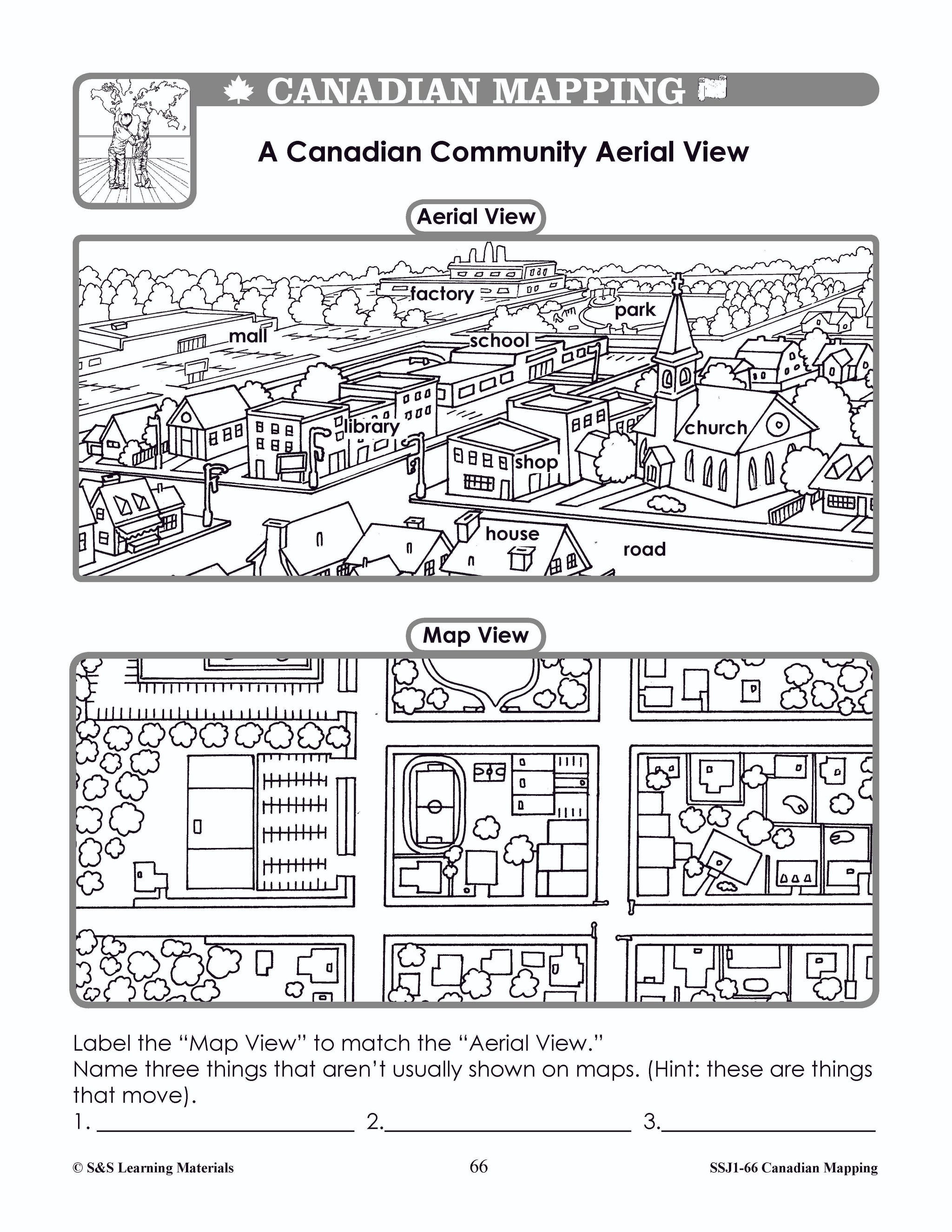


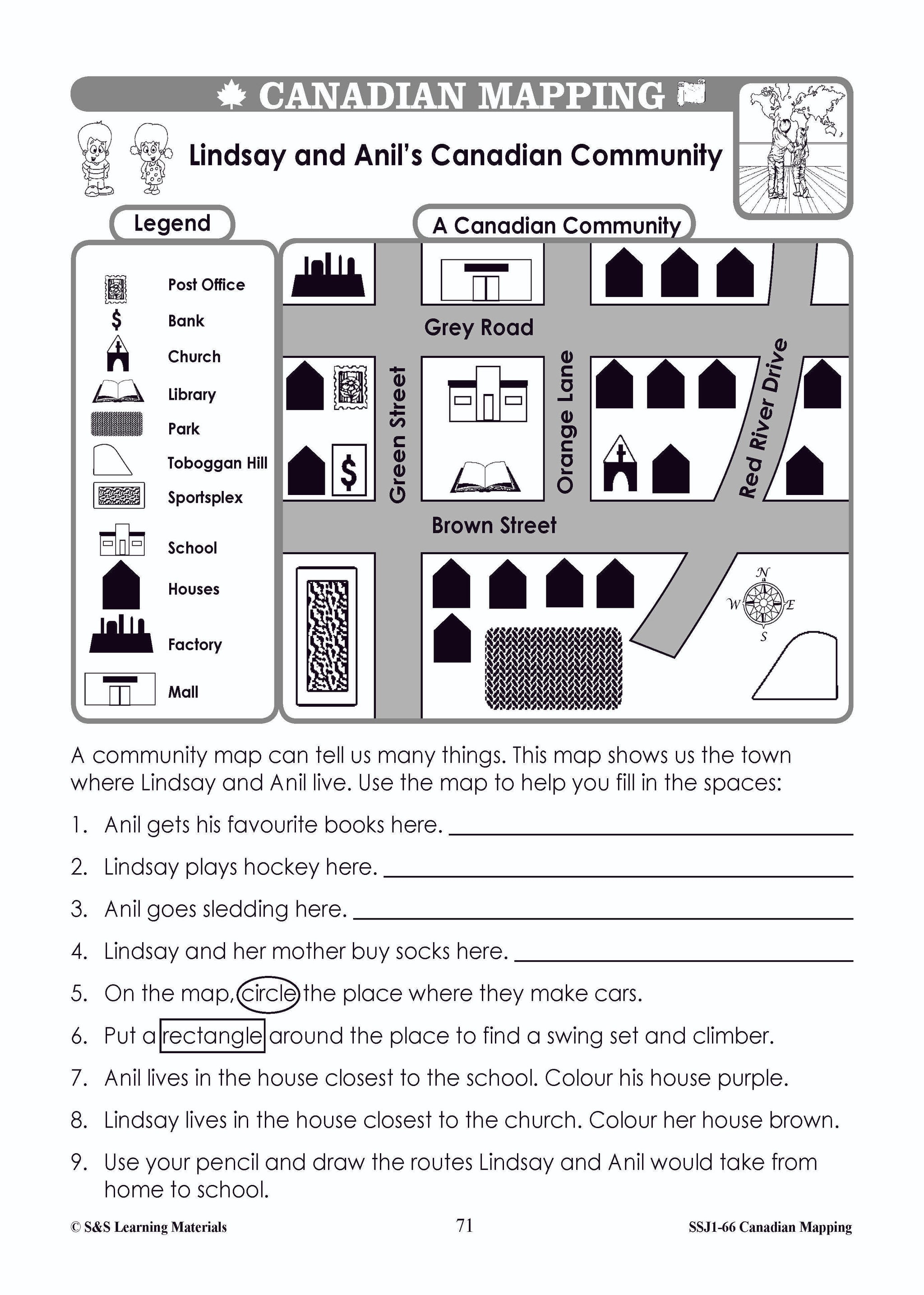
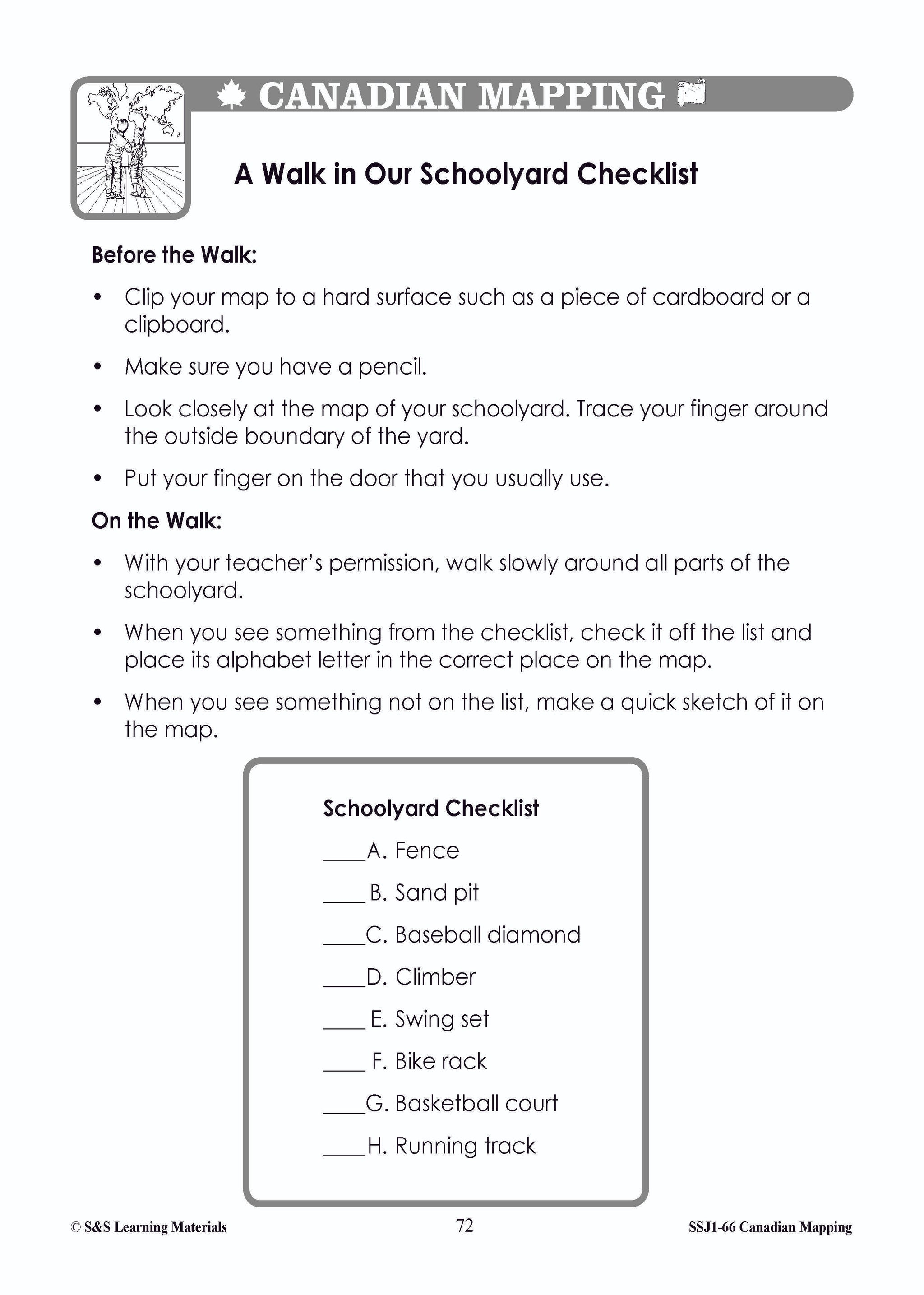
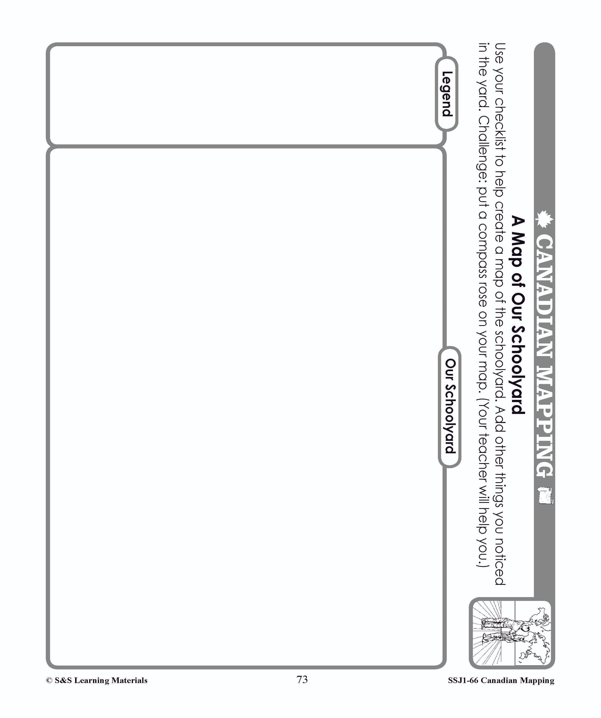

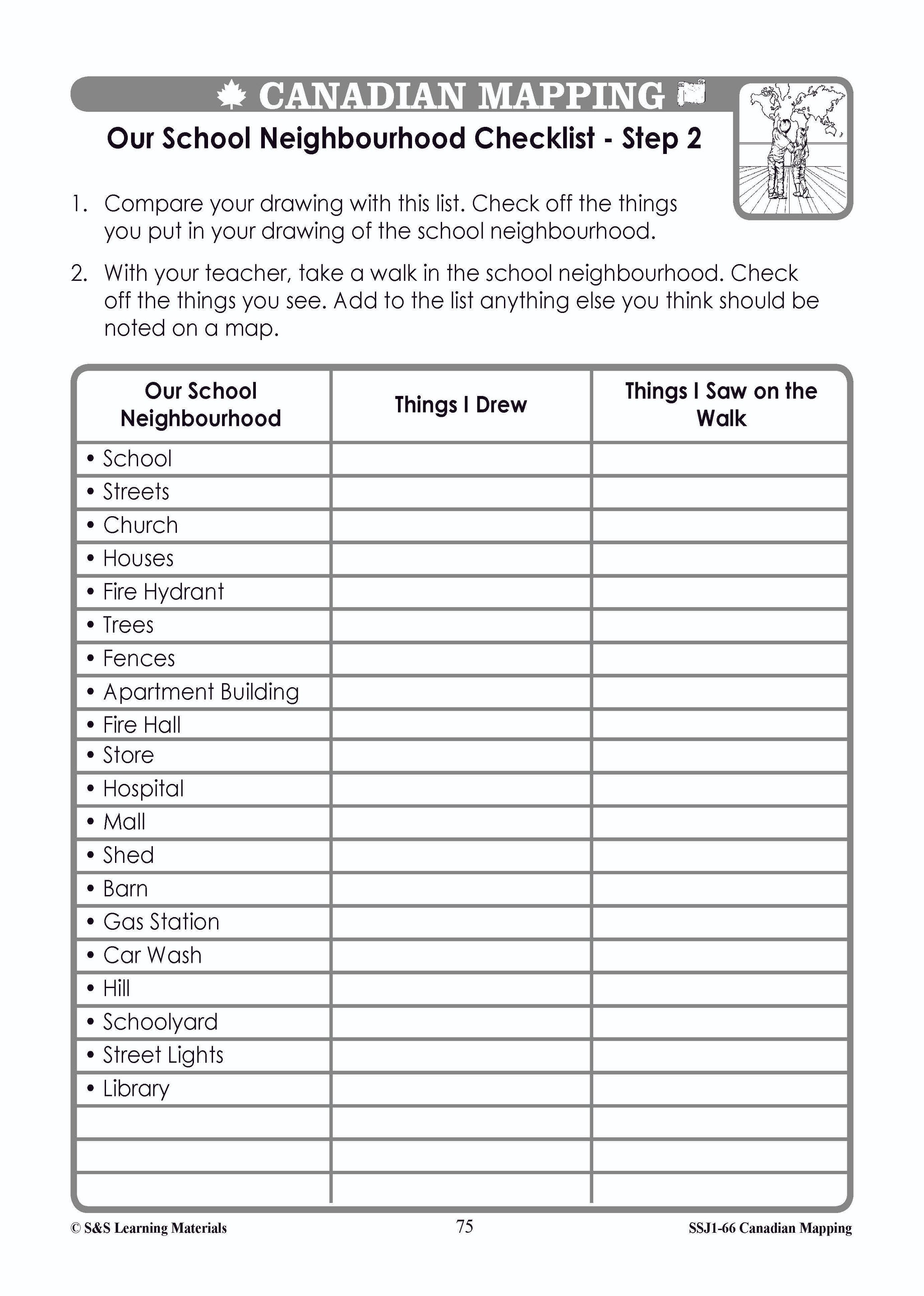


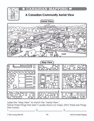
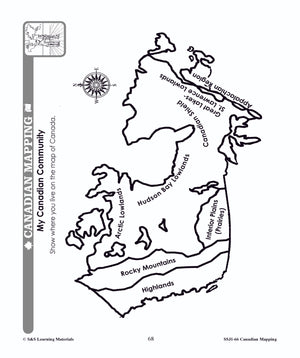
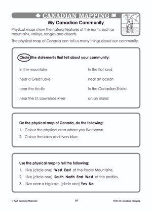
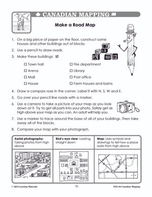
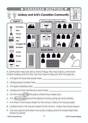


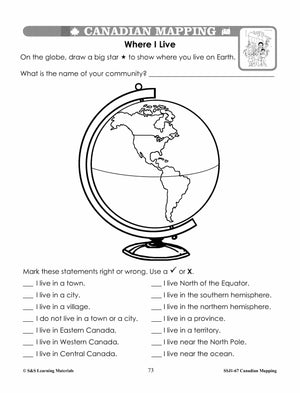
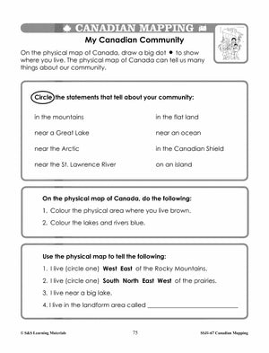
Canadian Communitites Mapping Worksheets Grades 1-2
$7.95 CAD
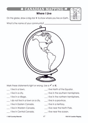
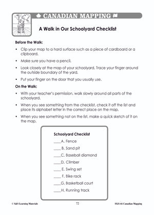
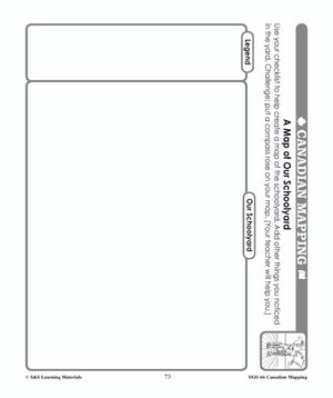
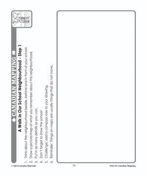
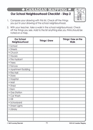
Students will complete 14 worksheets that help them understand where they live on a map of the world and on a map of Canada. They will make a road map of their community, and take a walk in their schoolyard...


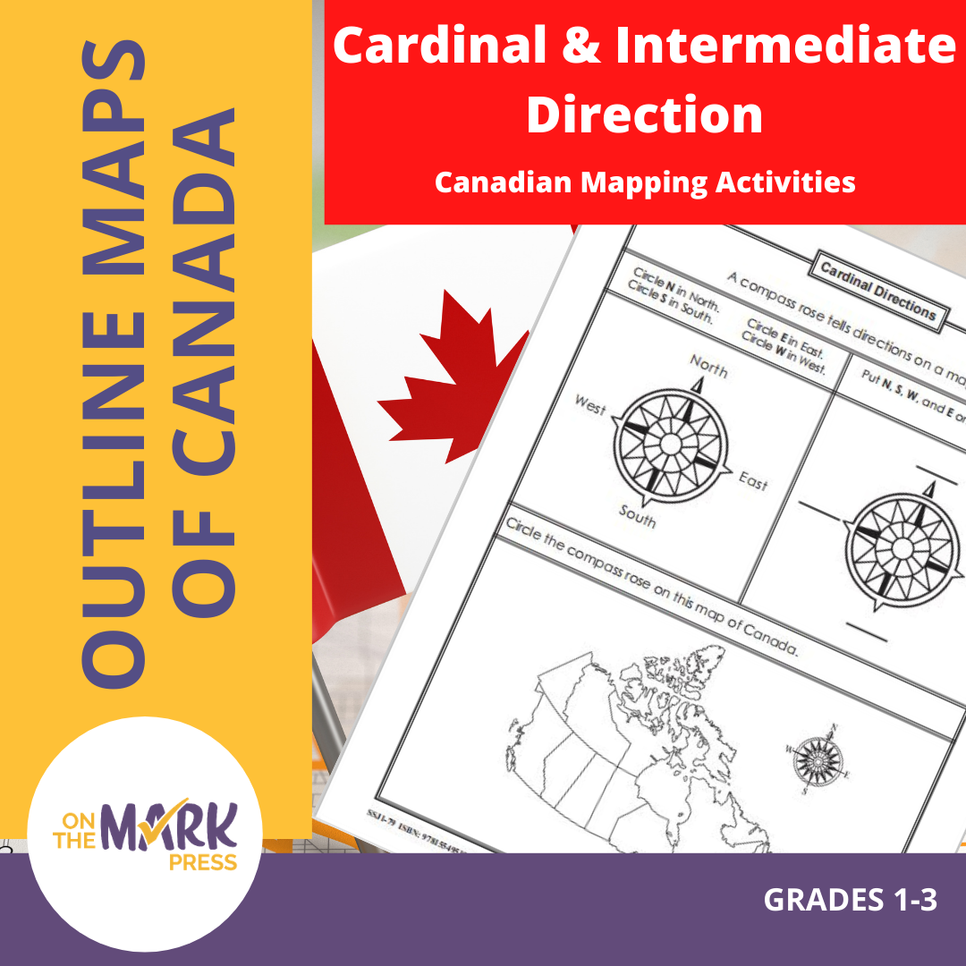

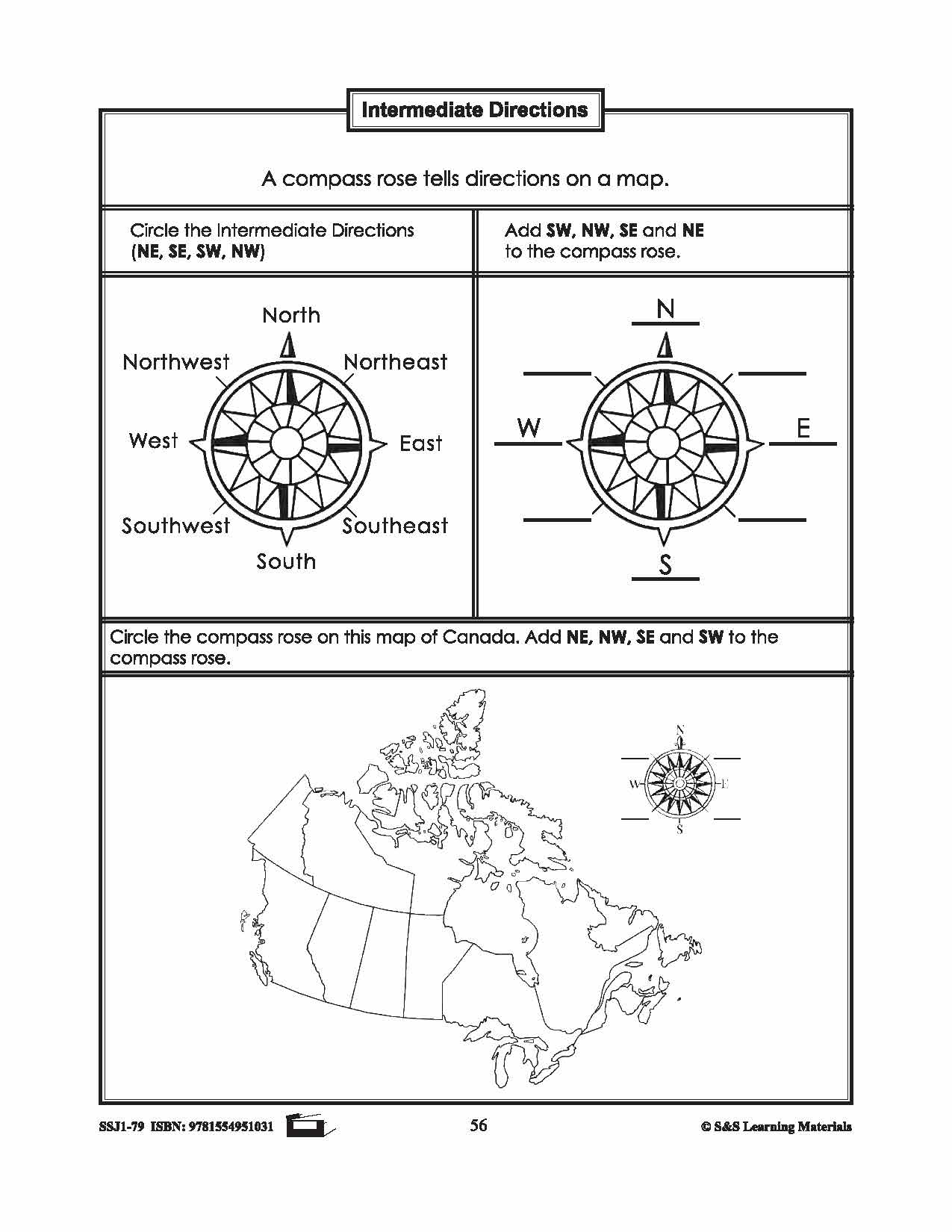

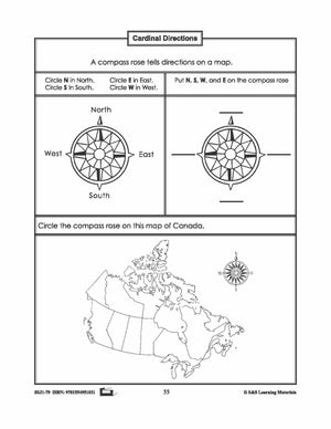

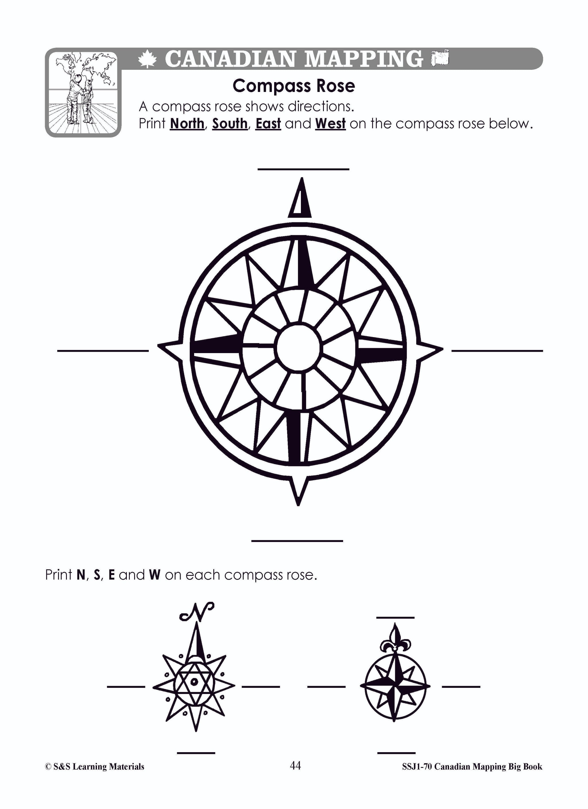
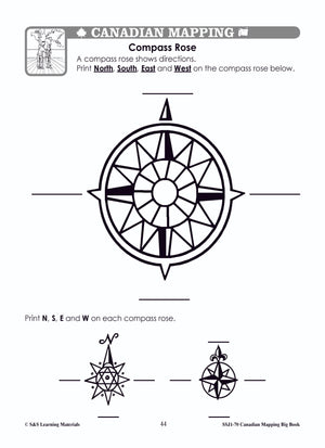
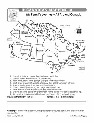
Cardinal and Intermediate Direction Canadian Mapping Activities Gr. 1-3
$2.95 CAD
This package includes one activity for both cardinal and intermediate direction mapping skills. Each worksheet has three exercises for students to practice identifying cardinal or intermediate direction. 2 pages

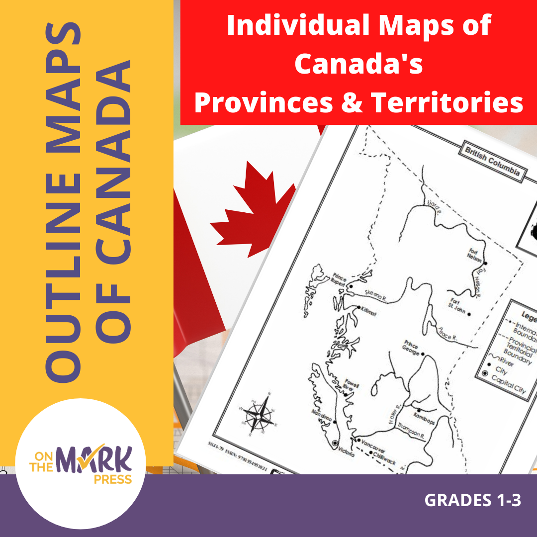


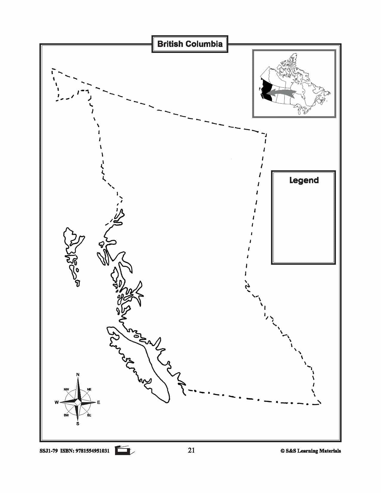
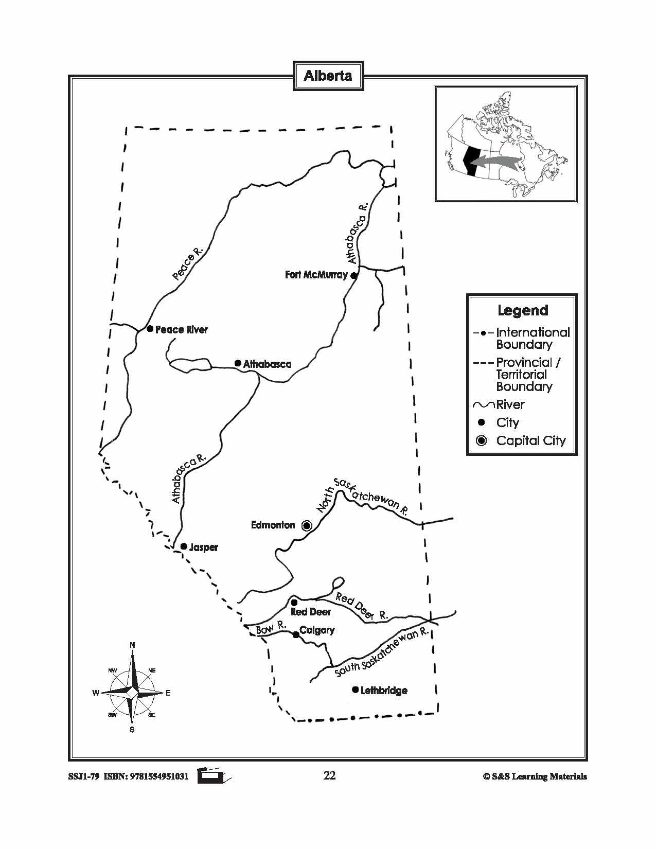
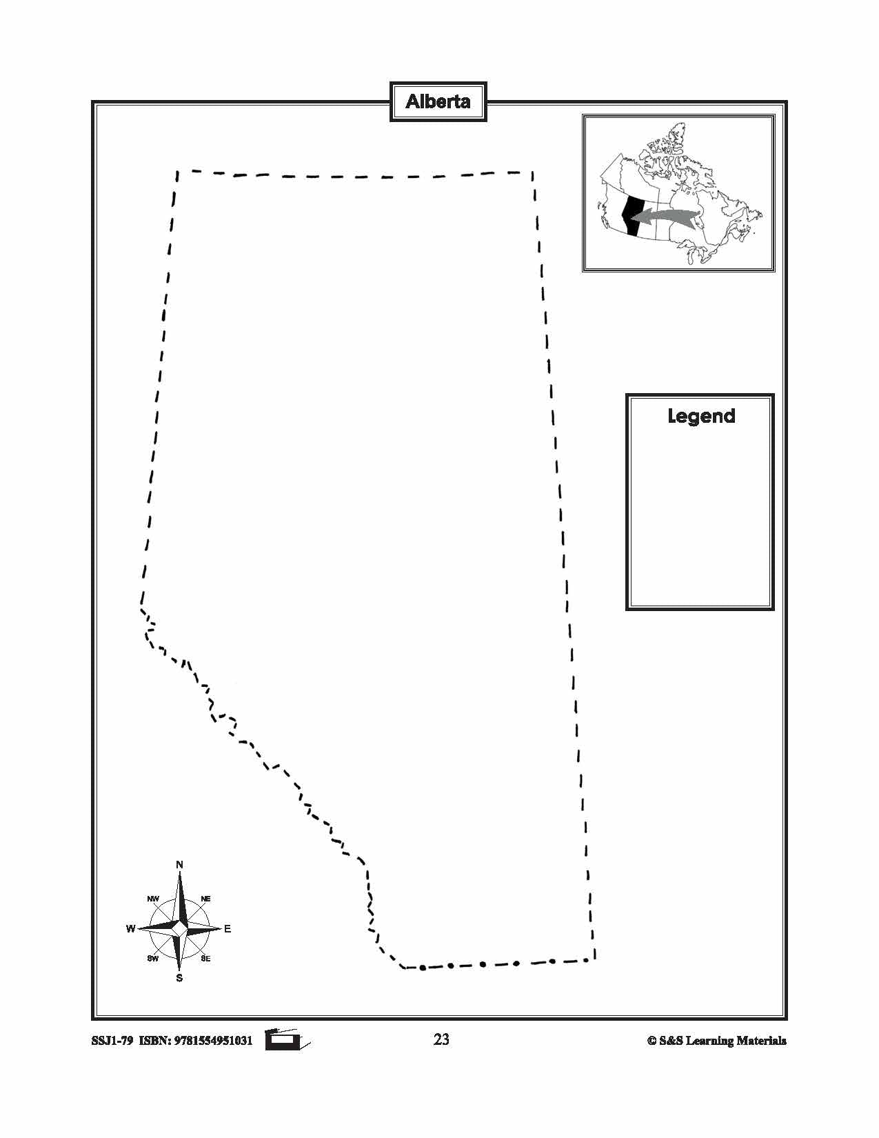

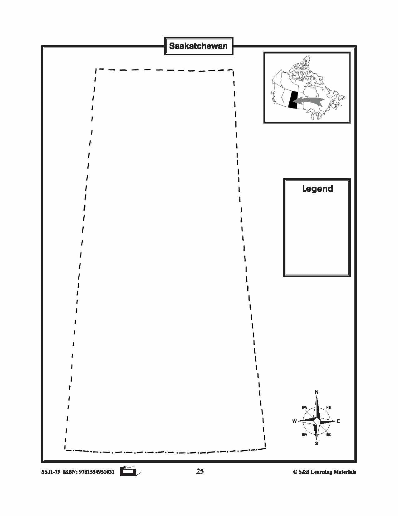


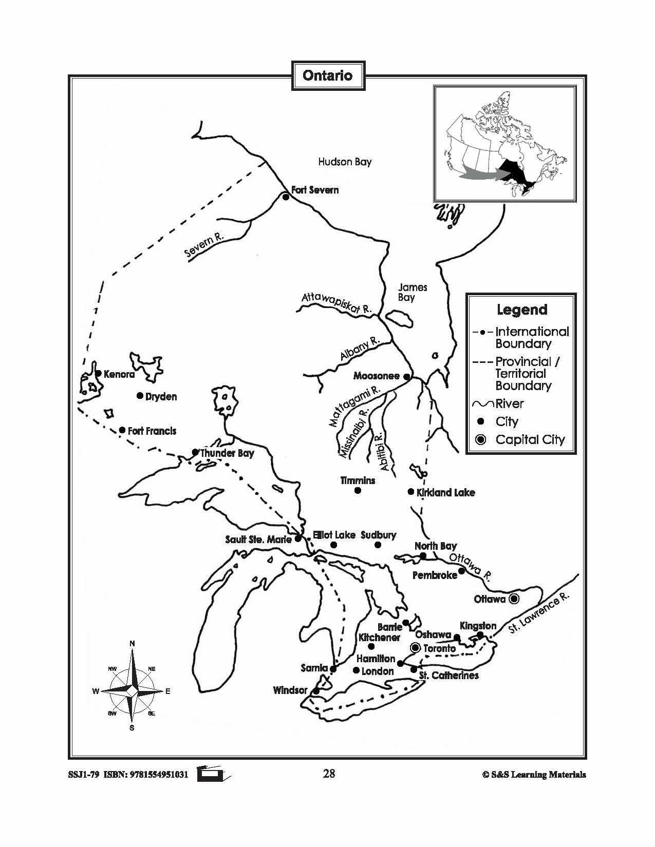
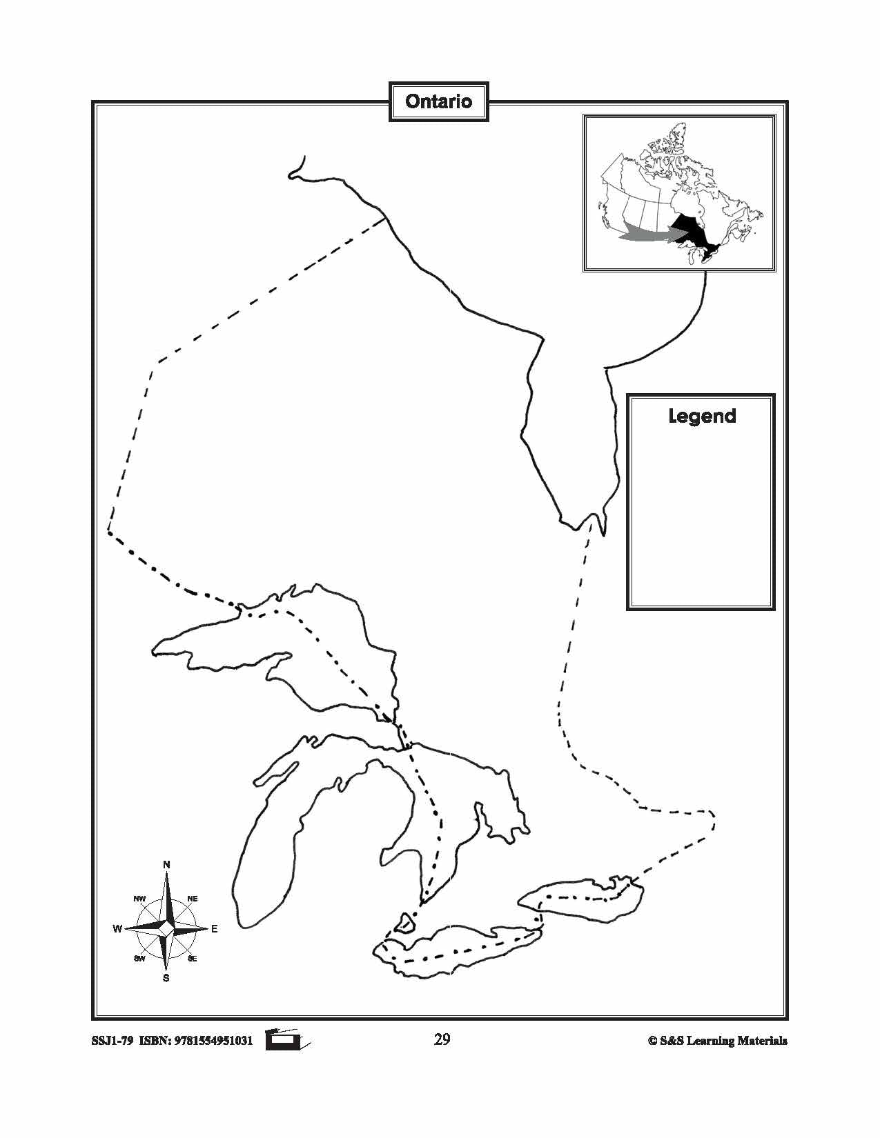
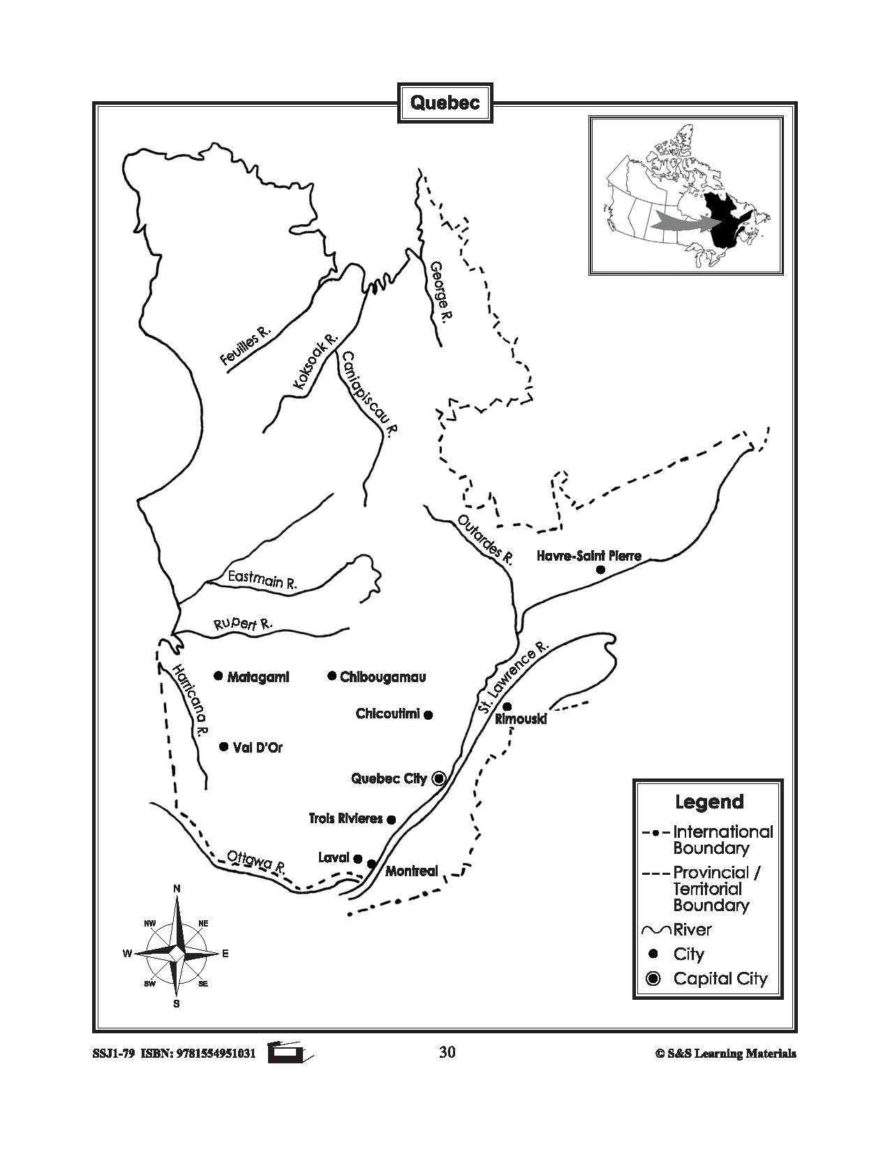
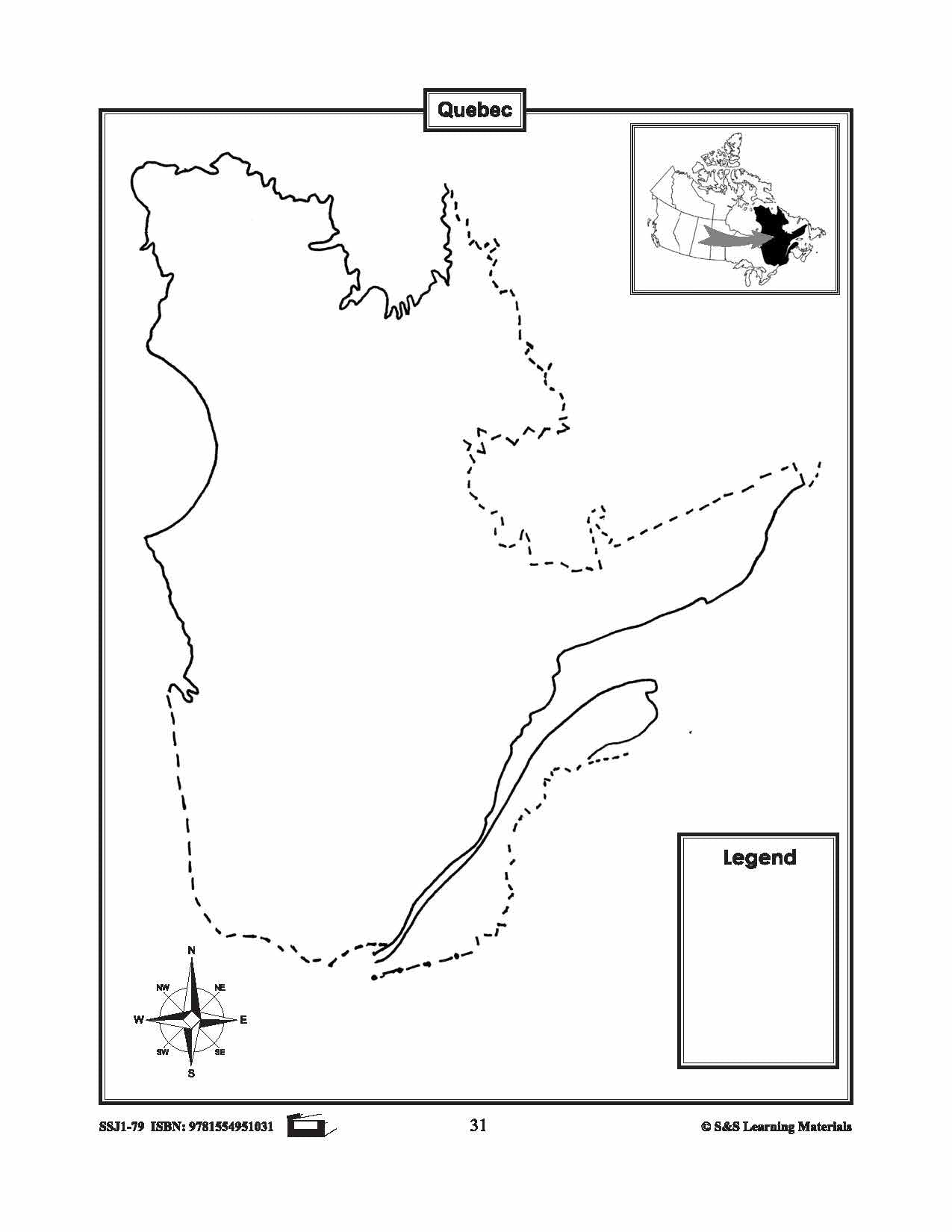


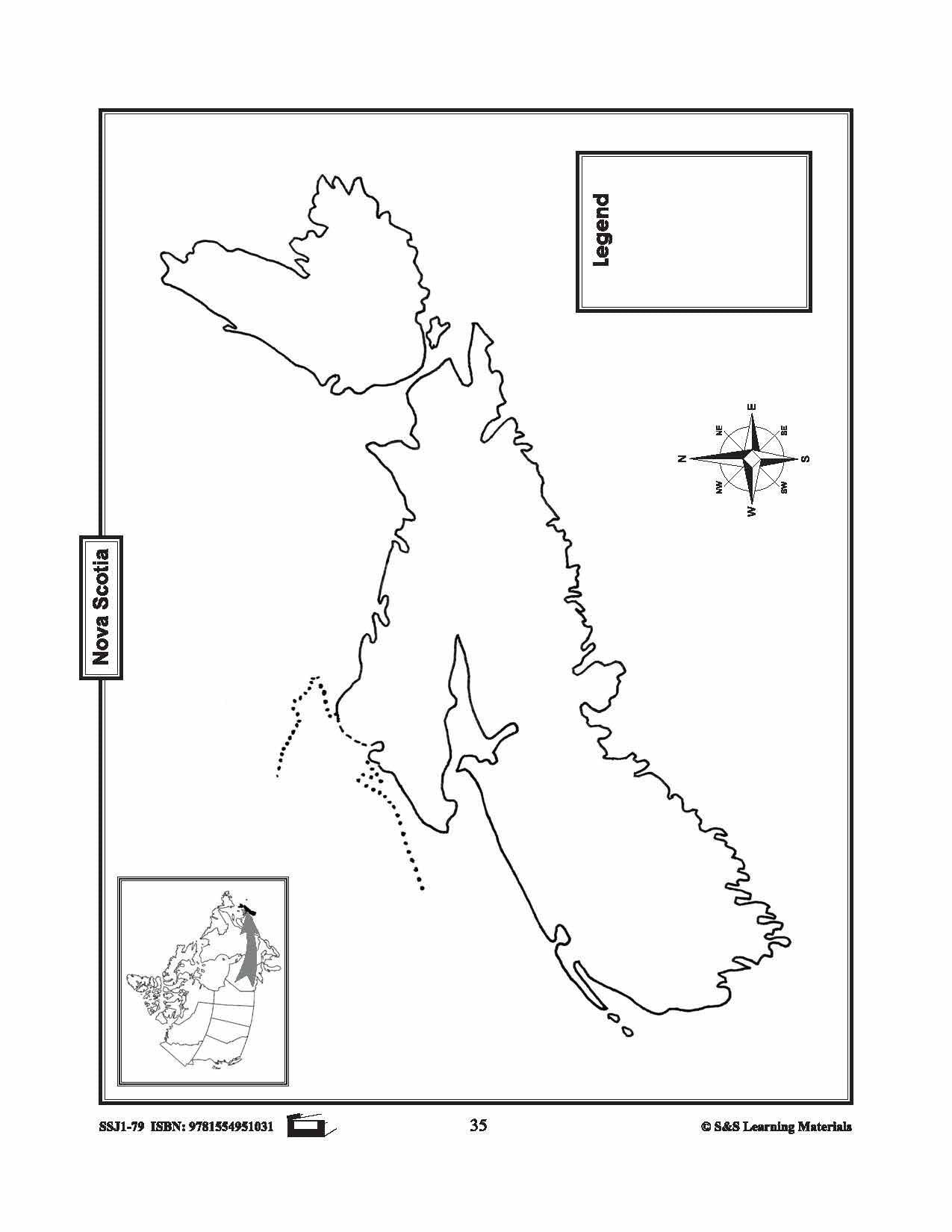

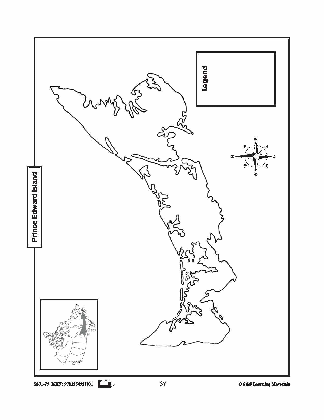
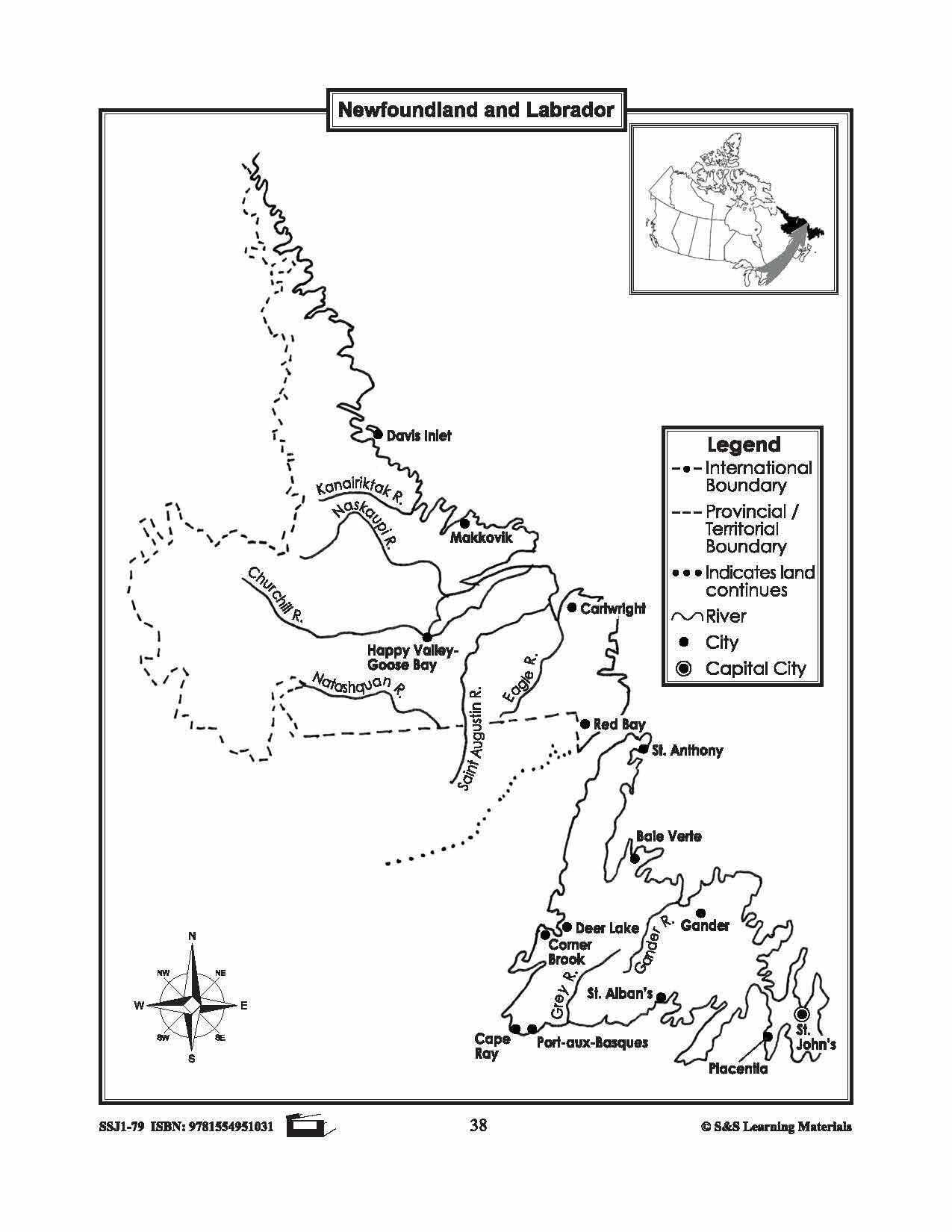

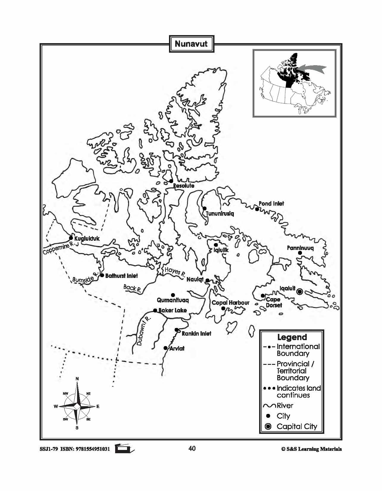
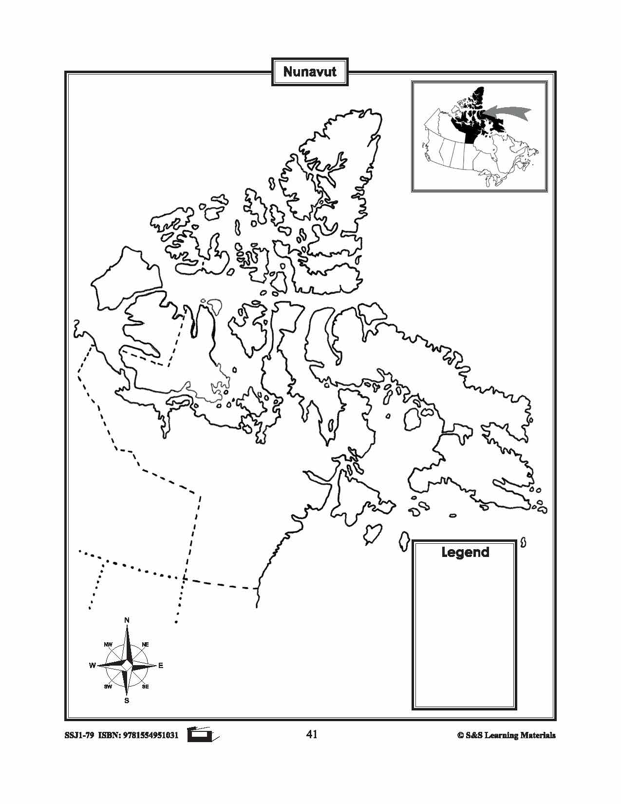

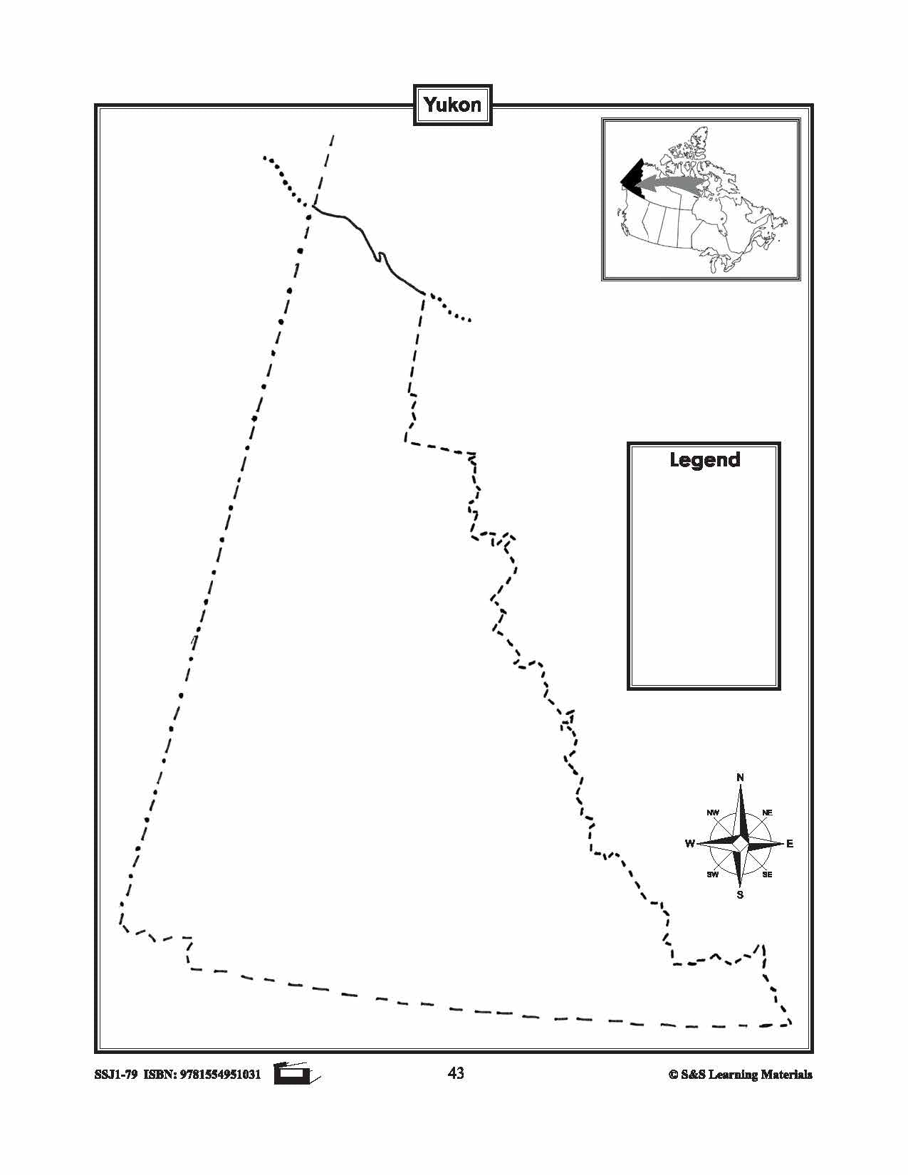


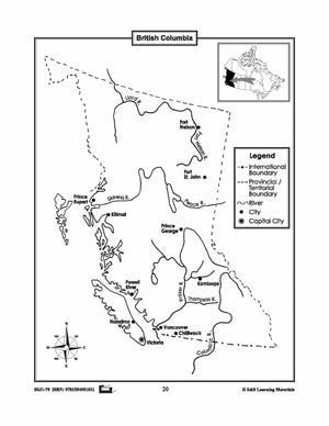
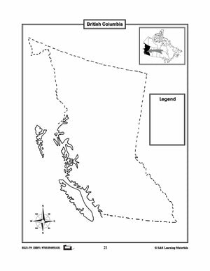
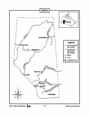
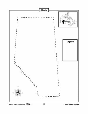
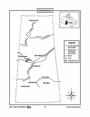
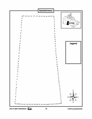
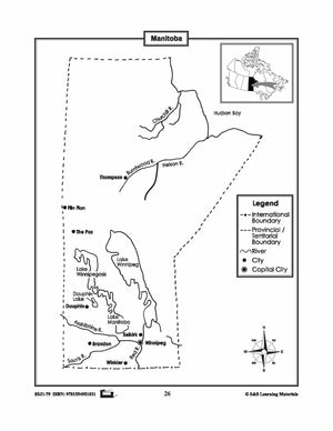
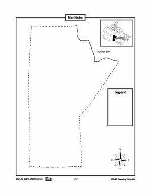
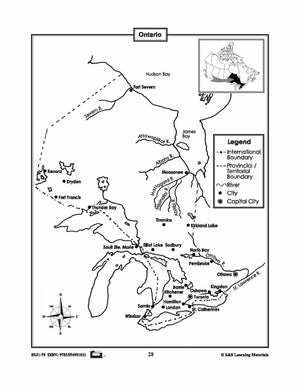

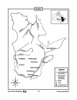
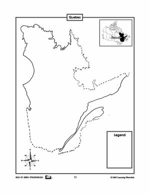
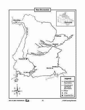
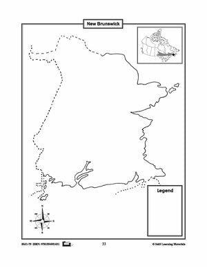
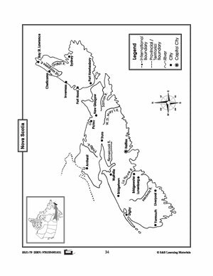
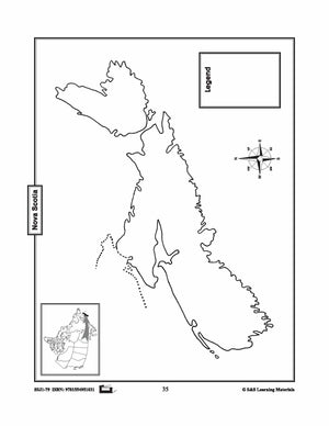
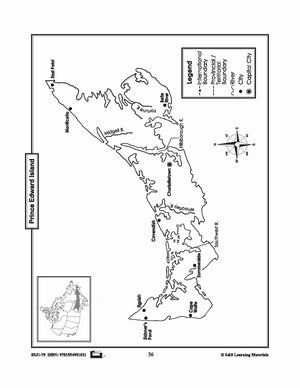
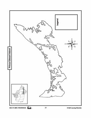

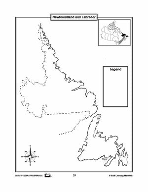

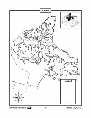
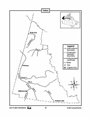
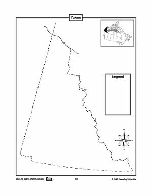
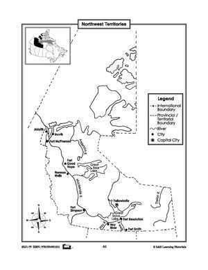
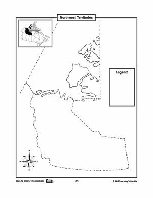
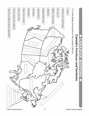
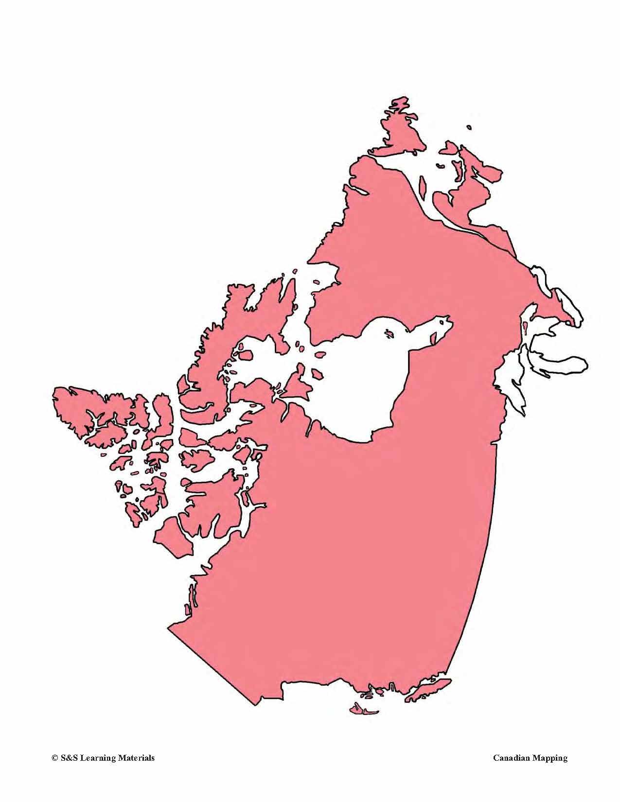
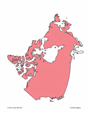
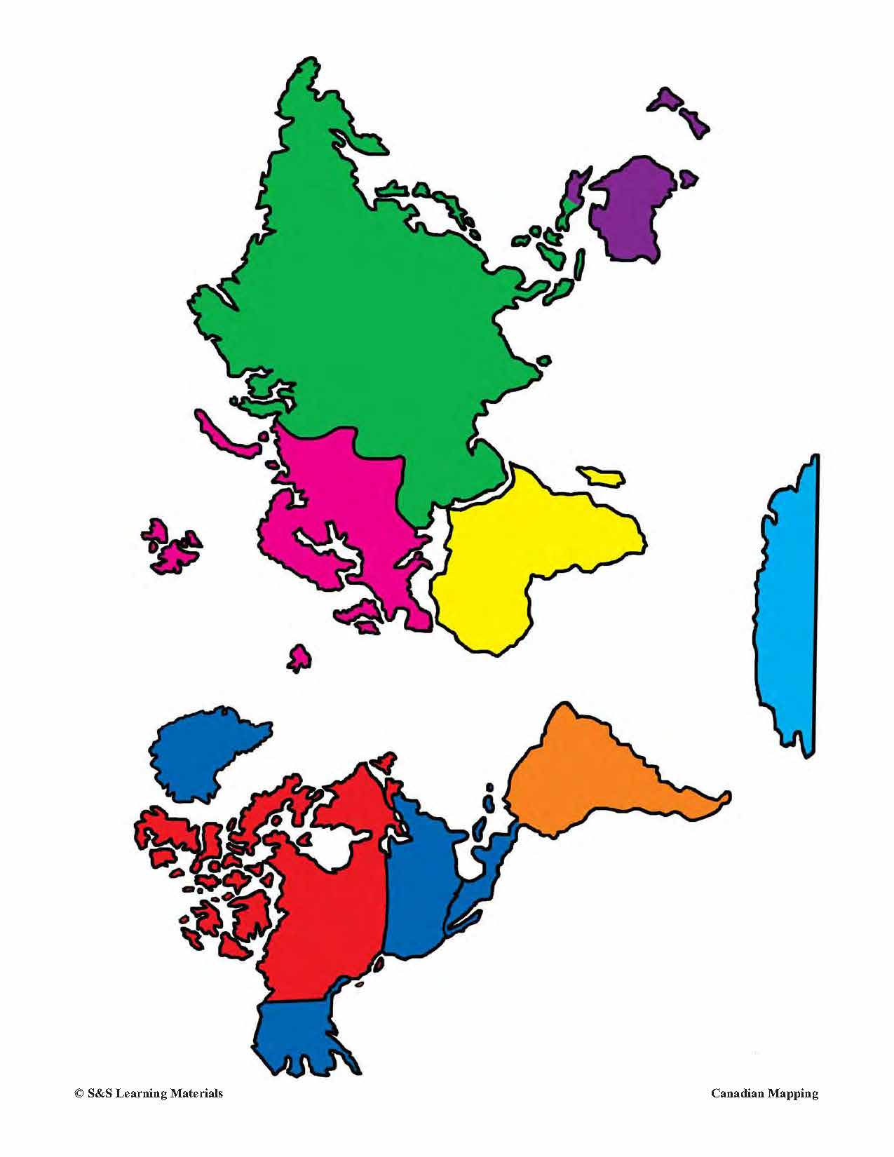
Individual Maps of Canada's Provinces & Territories Grades 1-3
$6.45 CAD
This package includes two maps for each province and territory in Canada. The first map supplies locations for major cities and rivers. The second map is blank and could be used for a variety of purposes from locating and labeling...


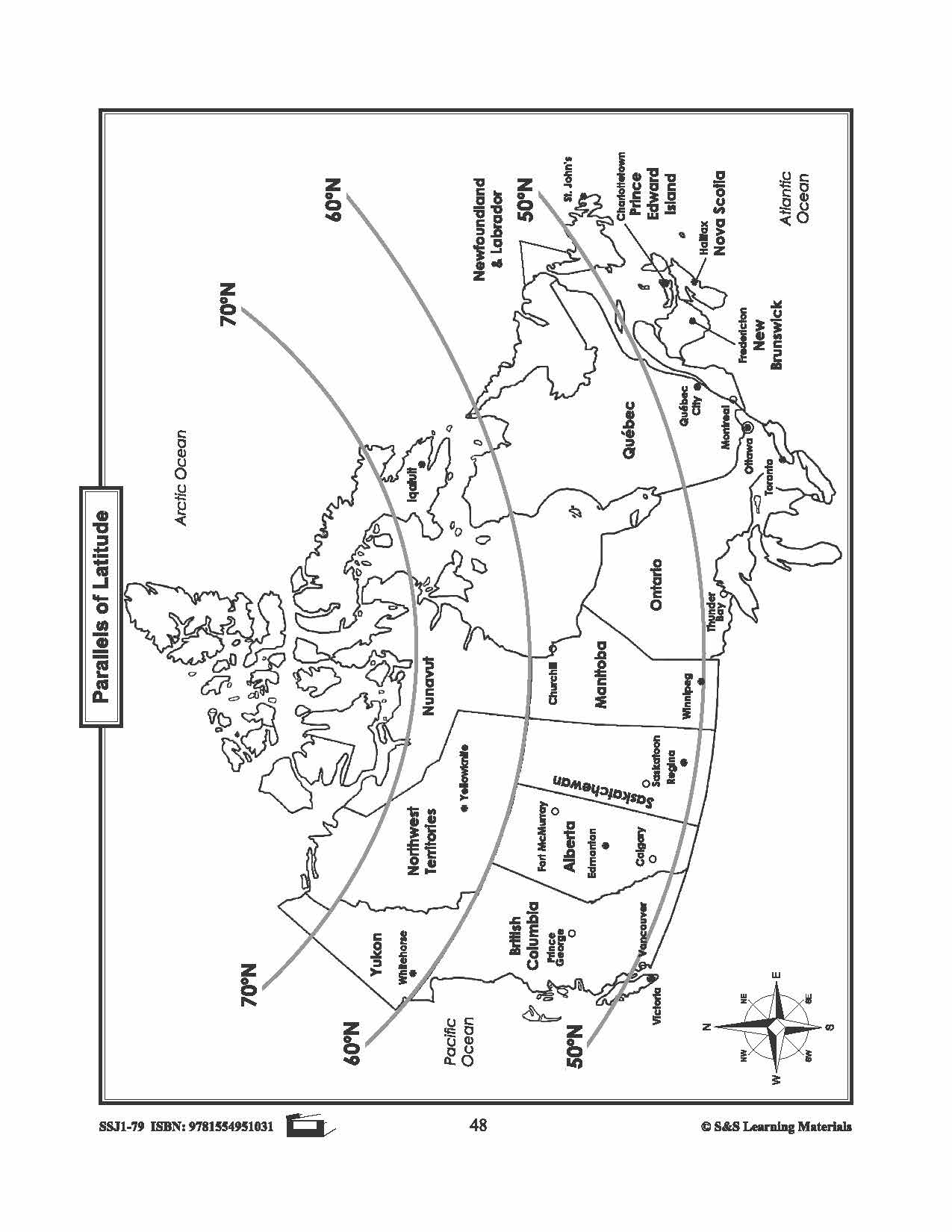
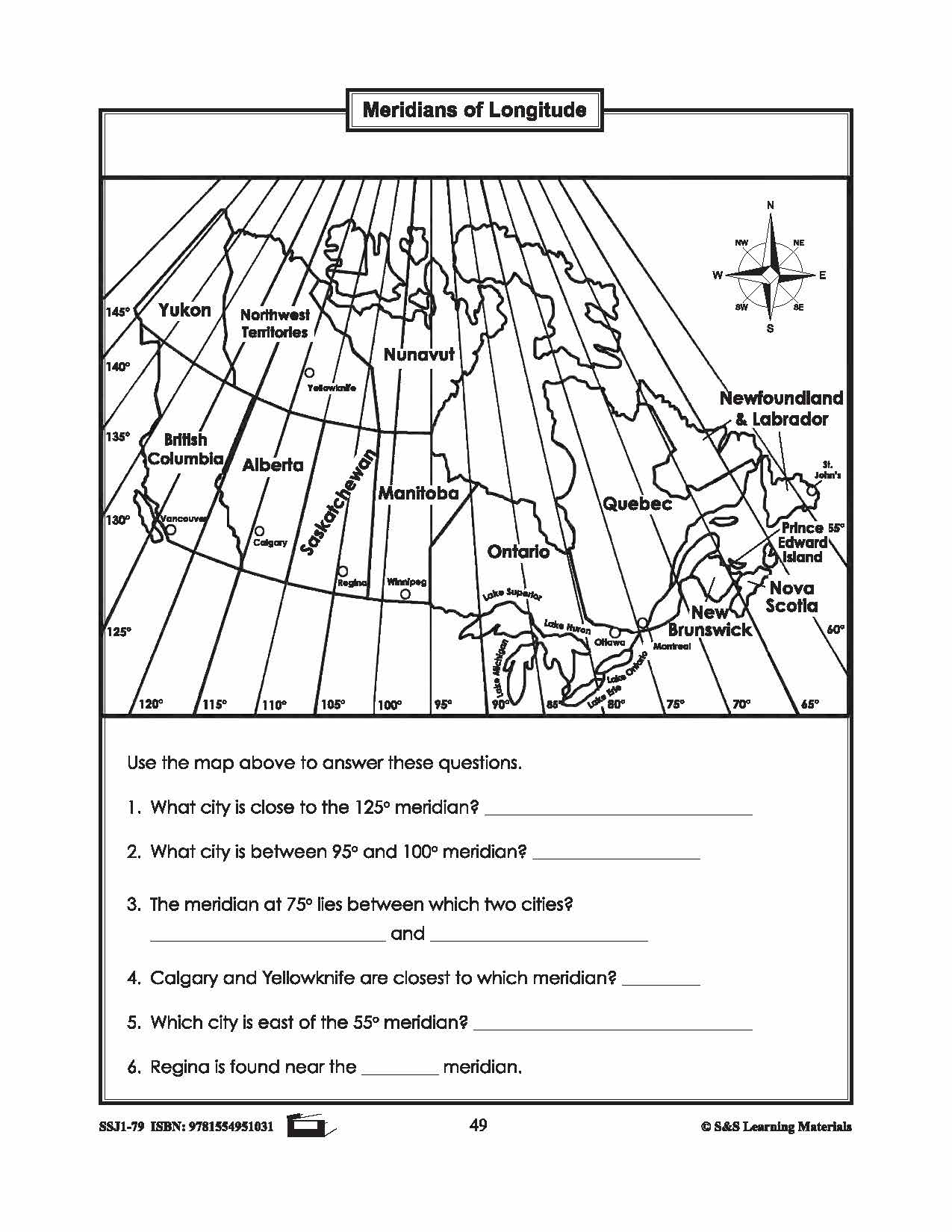
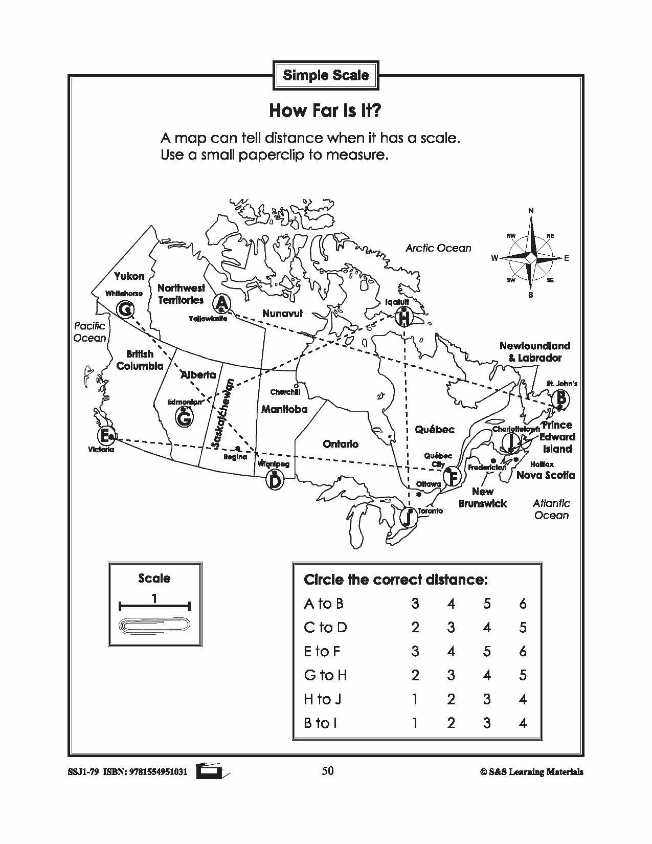
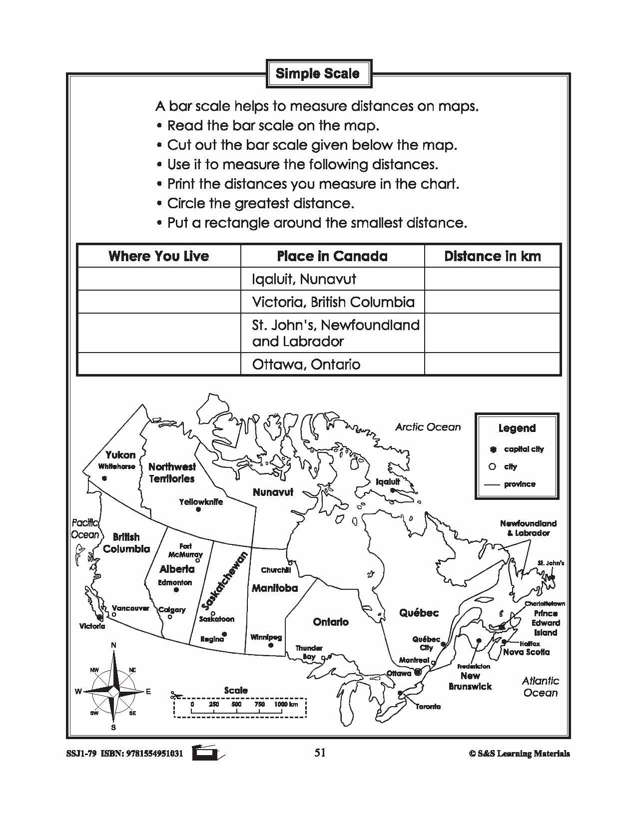
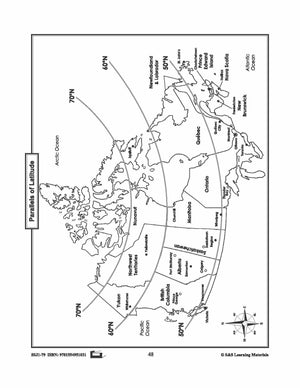
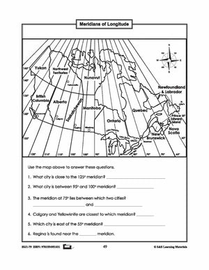

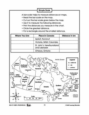
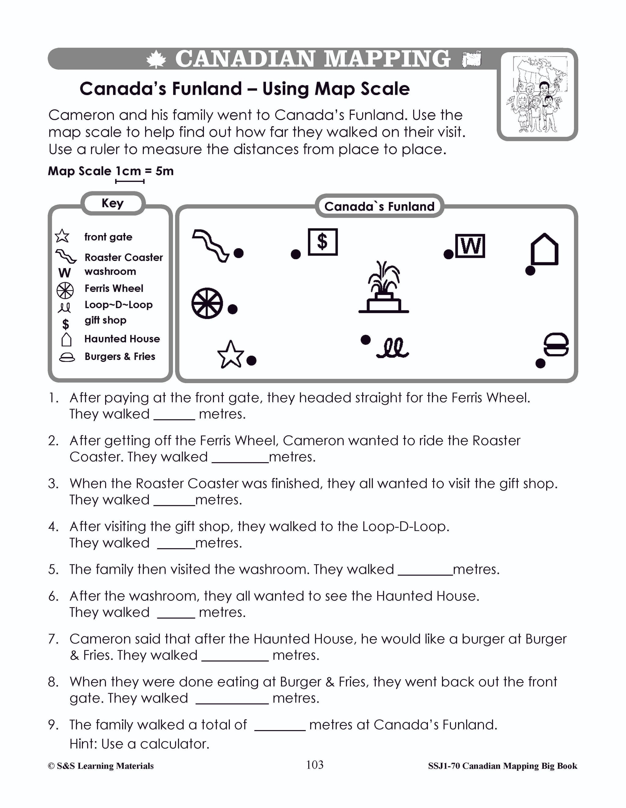
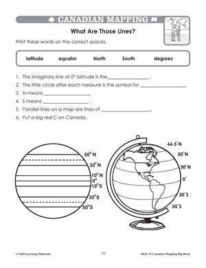
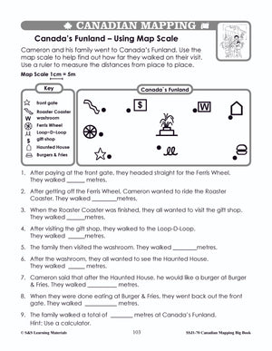
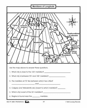
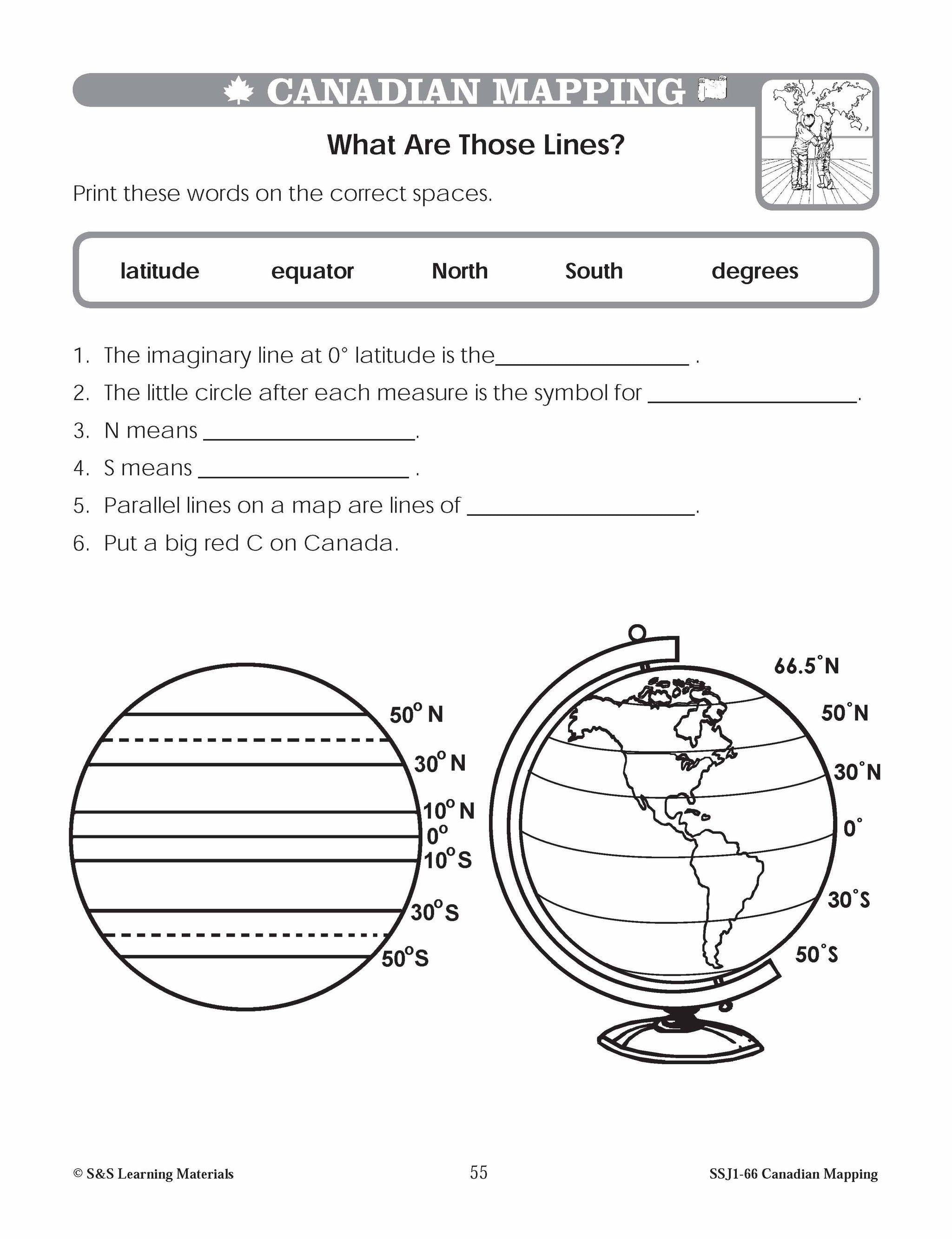
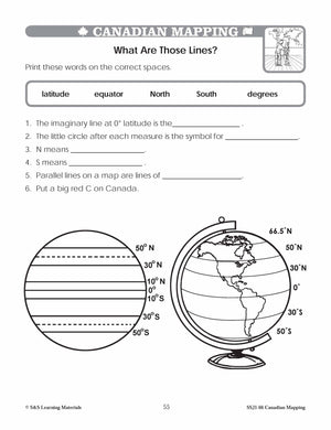
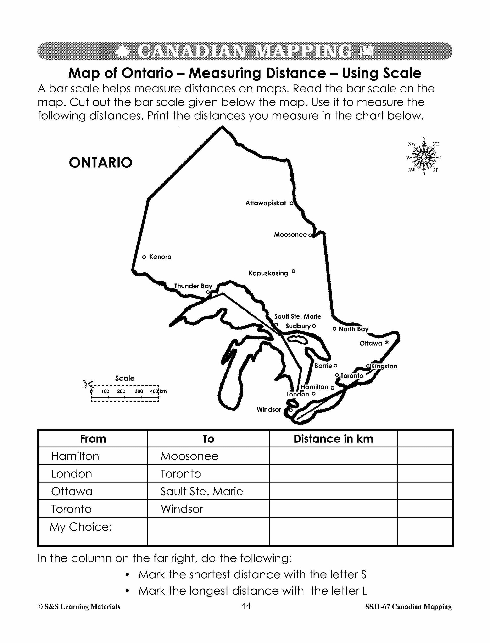
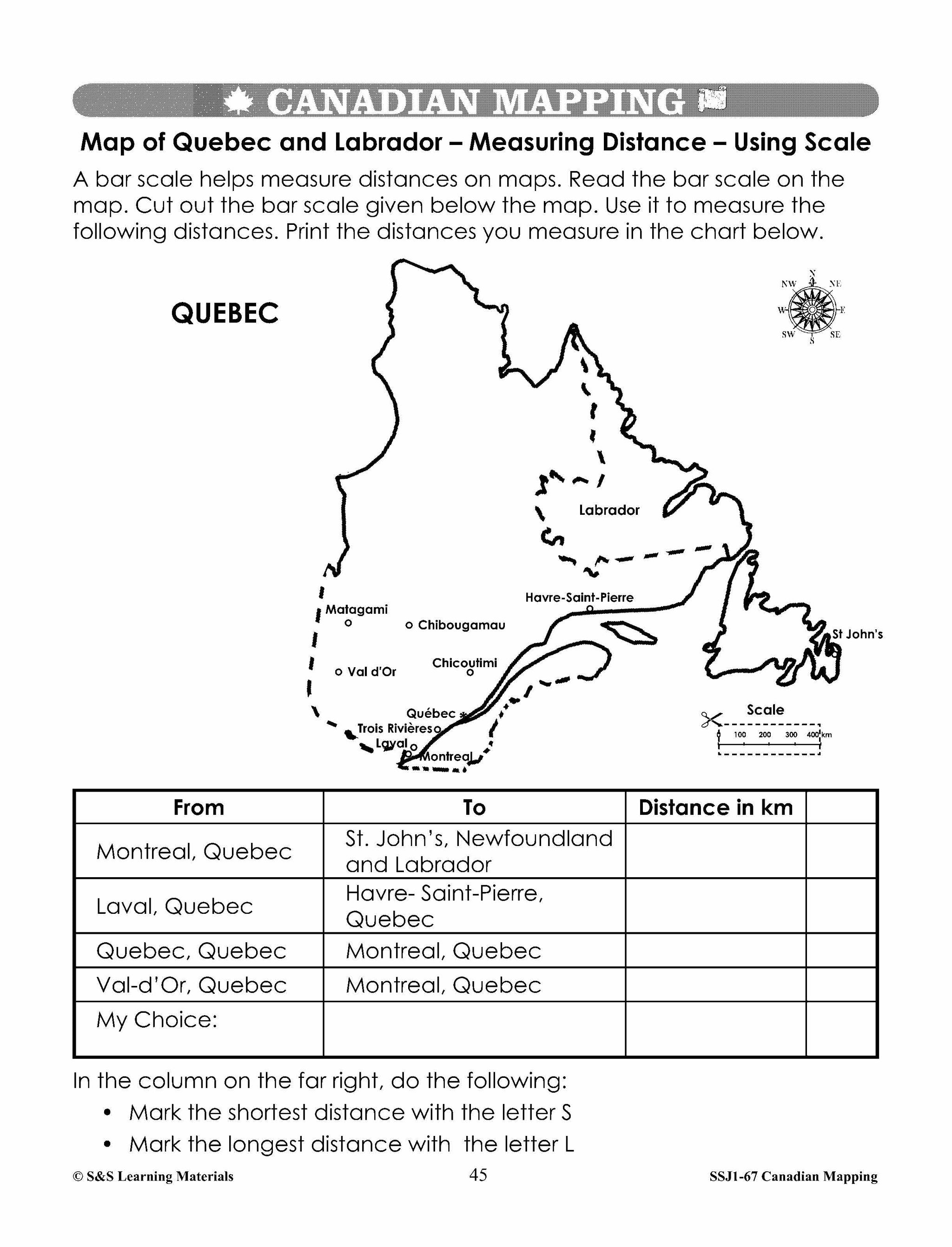
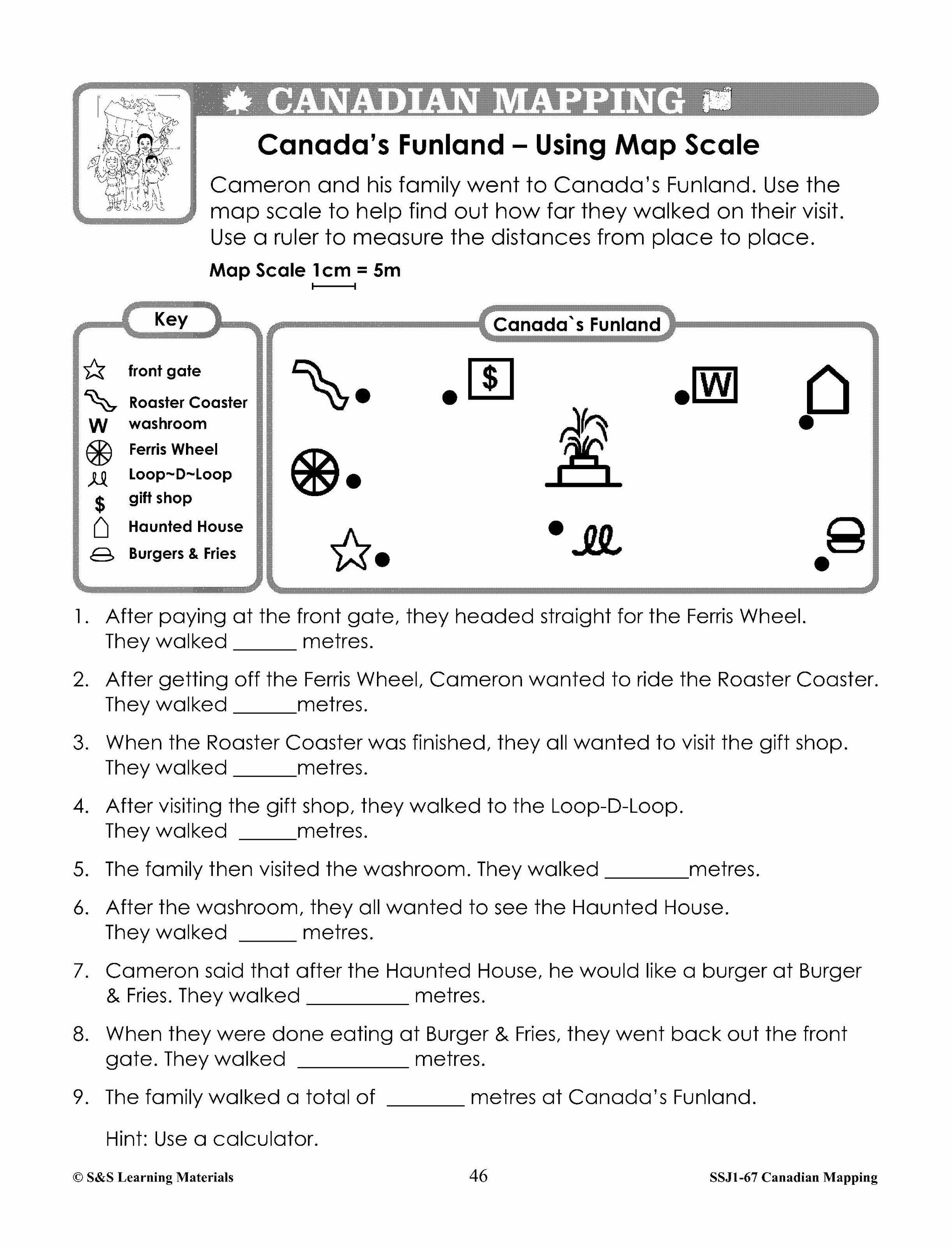
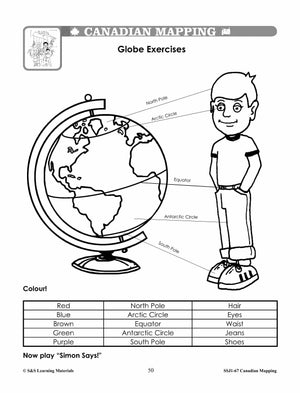
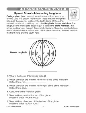
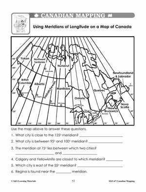
Latitude, Longitude & Scale Canadian Mapping Activities Grades 1-3
$4.95 CAD
Four activities on: Parallels of Latitude Meridians of Longitude Simple Scale: How Far Is It? Simple Scale: Where You Live? Students can use maps with a simple scale to provide practice with addition, subtraction, and estimation skills. They may use...
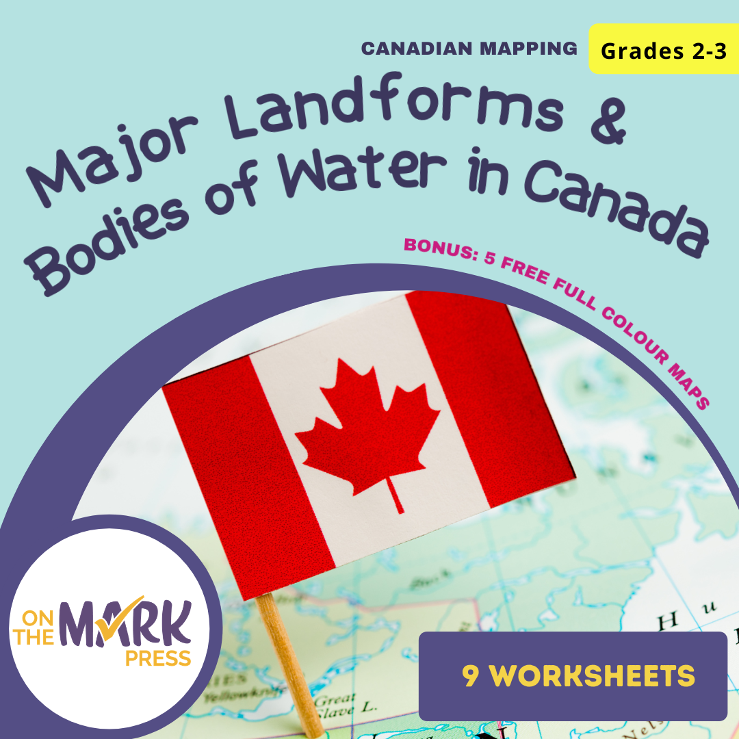


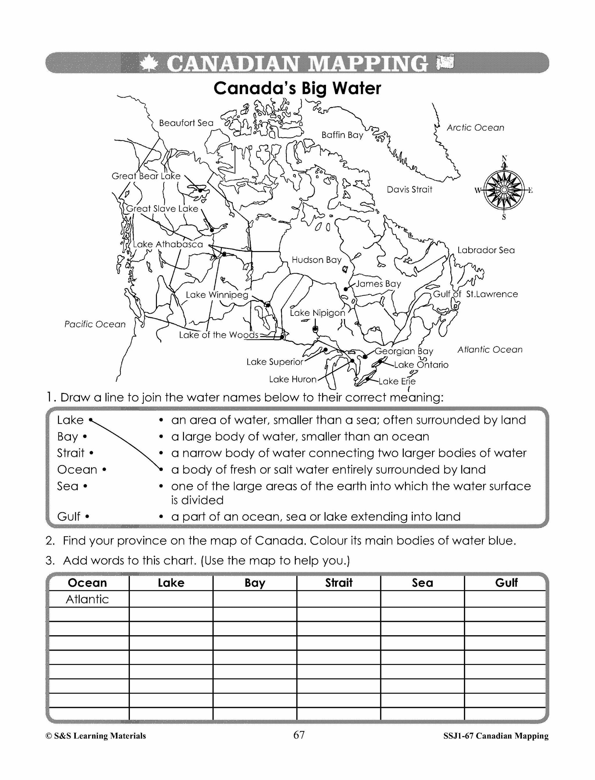


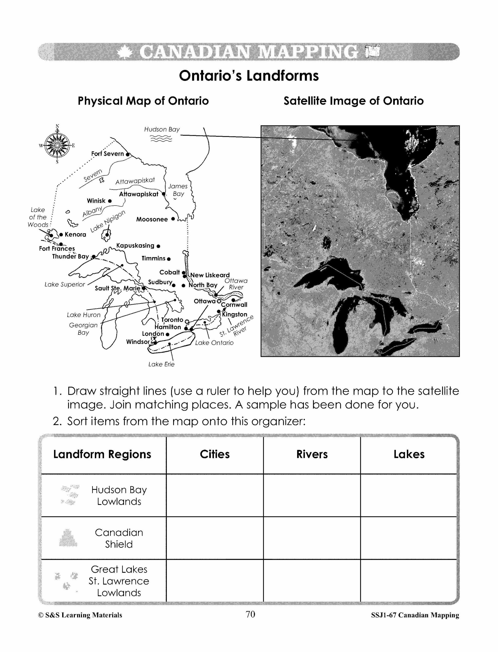


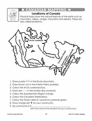
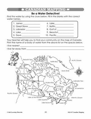
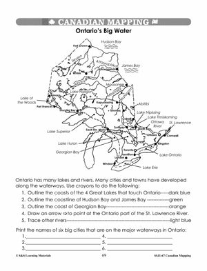


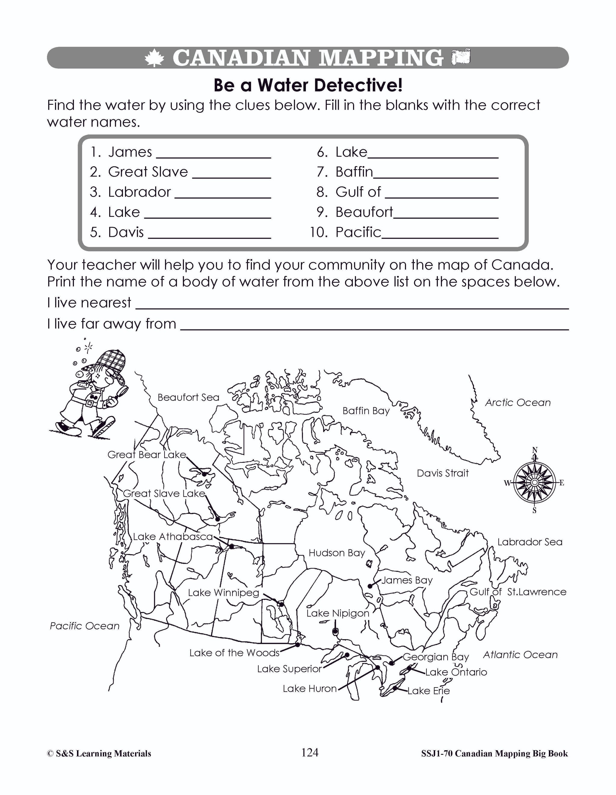
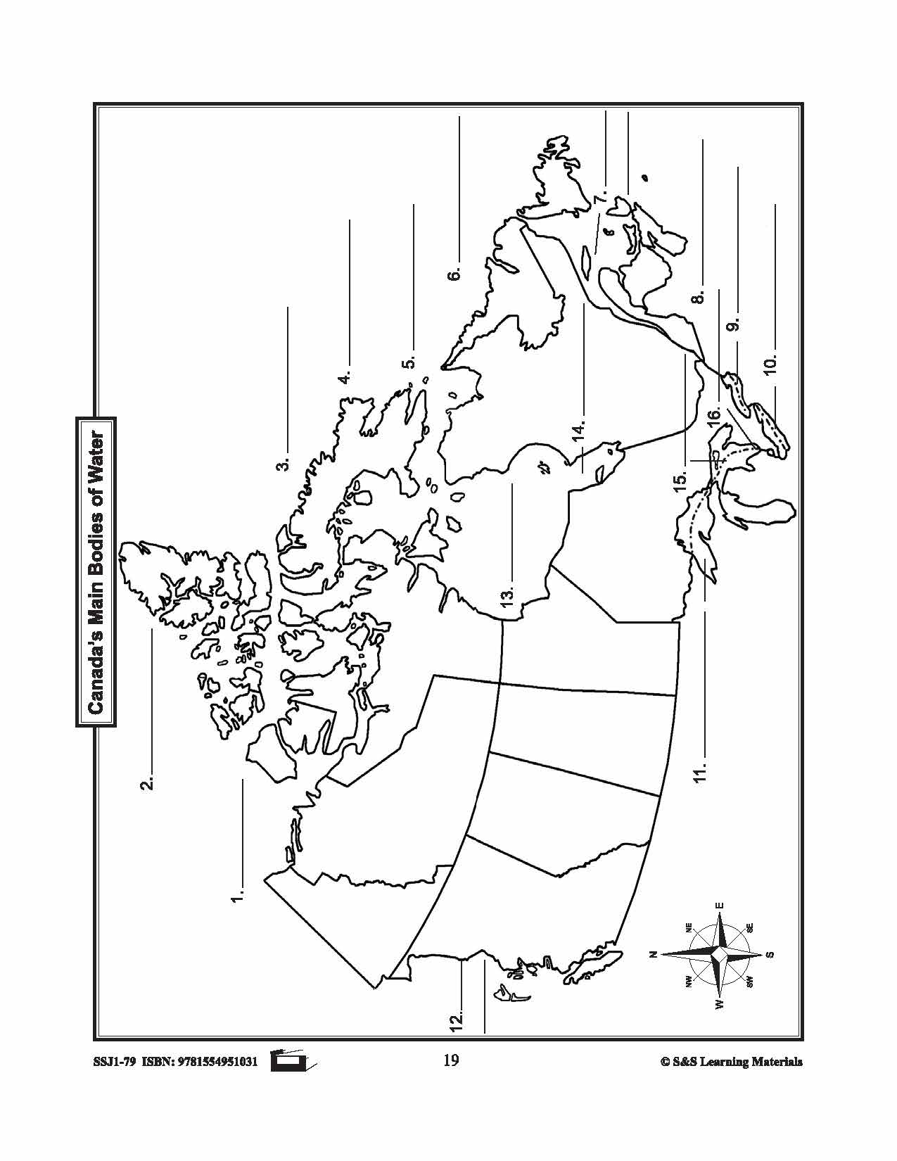
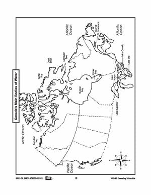
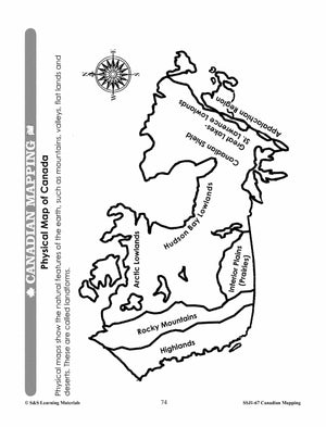
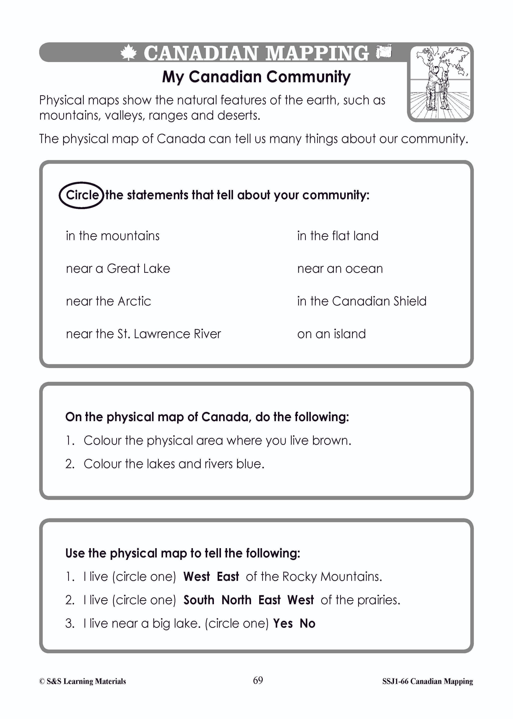
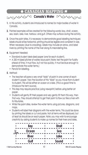
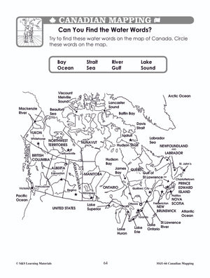
Major Landforms & Bodies of Water in Canada Mapping Worksheets Grades 2-3
$7.45 CAD
Students will learn about major landforms and bodies of water in Canada with the nine worksheets. Teacher information on these topics: what a map is, types of maps, how to read a map, map indexes, hemispheres, directional indicators, and map...

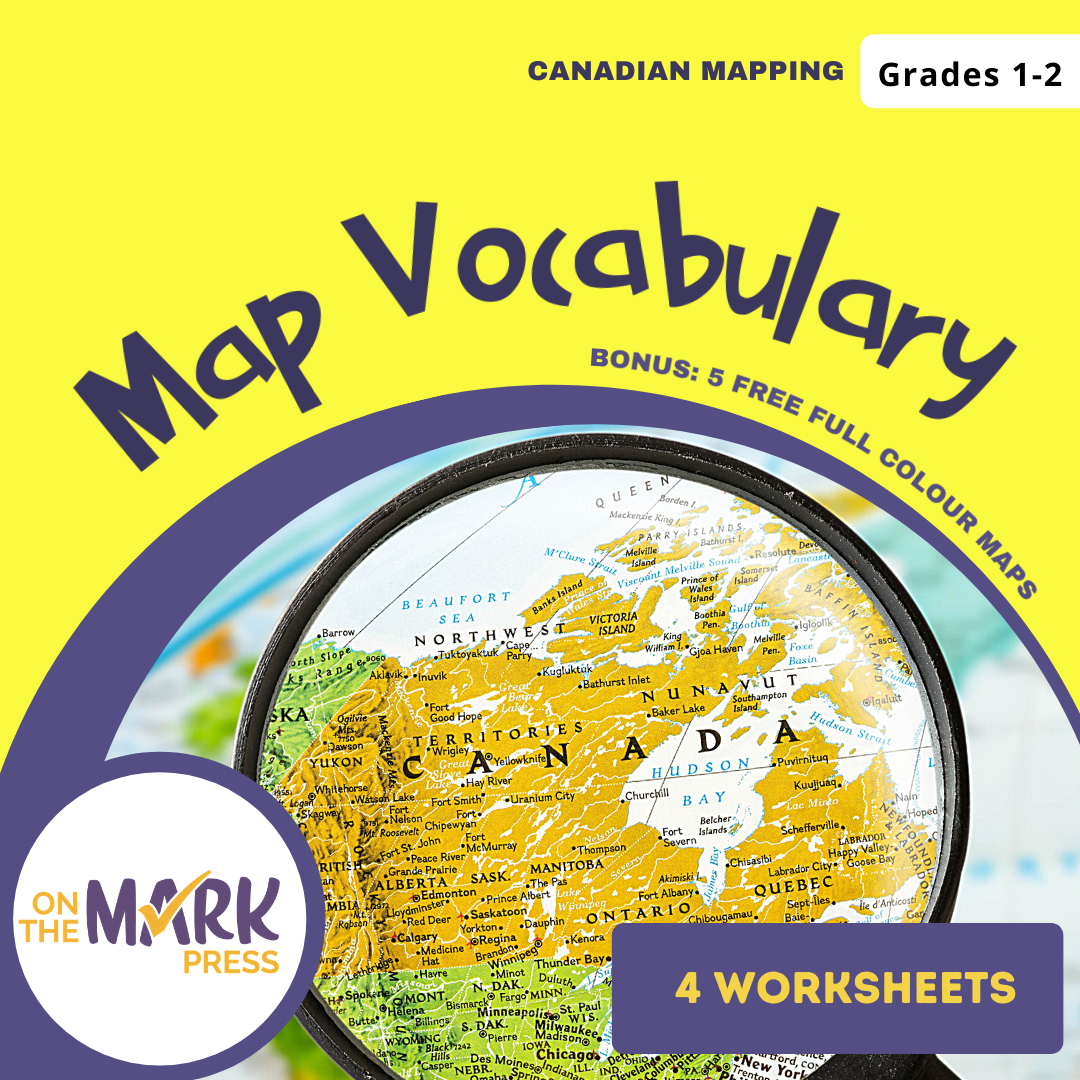


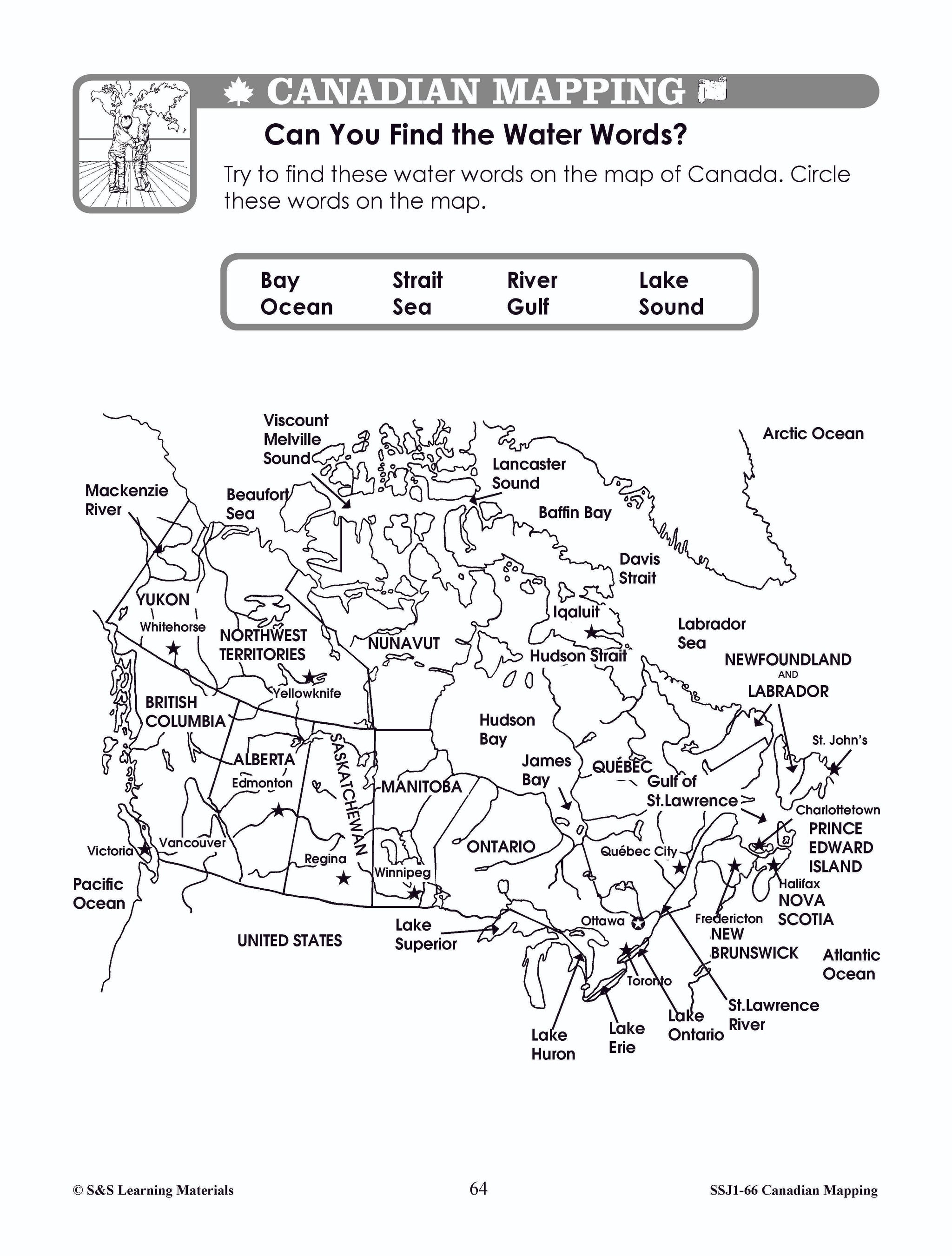


Map Vocabulary Worksheets Grades 1-2
$7.25 CAD
Students will learn map vocabulary with the 4 worksheets. Teacher information on these topics: what a map is, types of maps, how to read a map, map indexes, hemispheres, directional indicators, and map symbols. The glossary of geographic terms can...


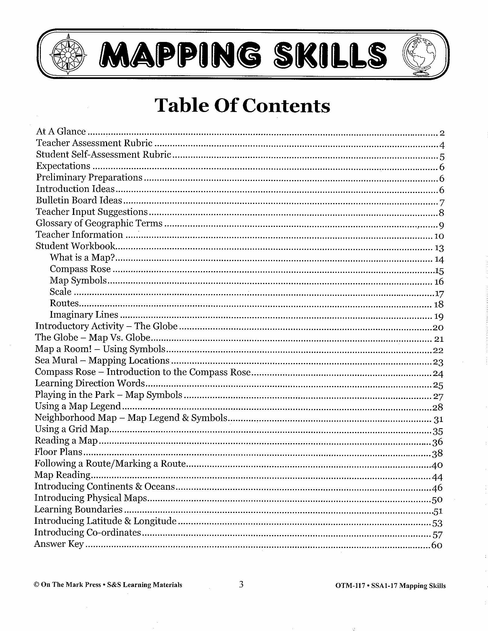
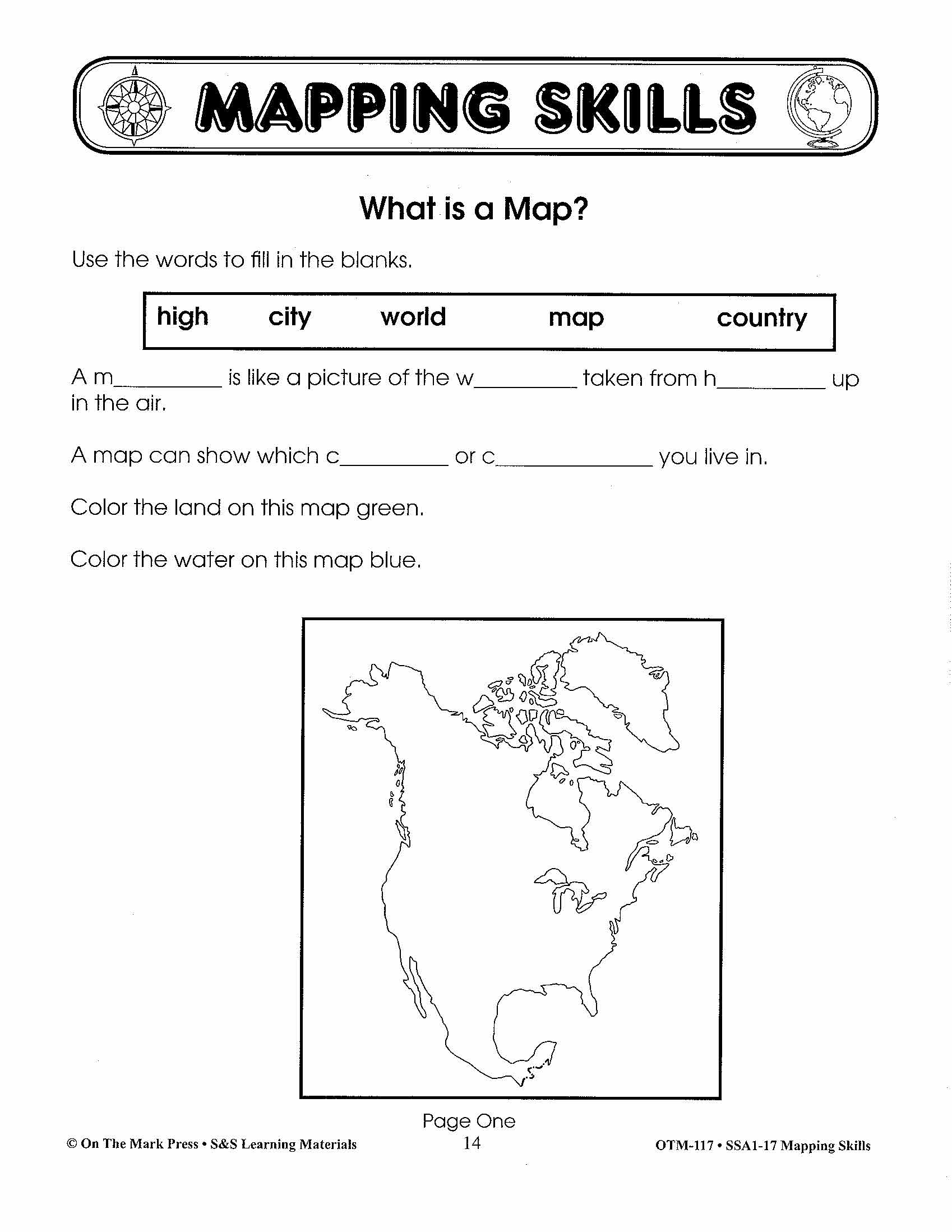

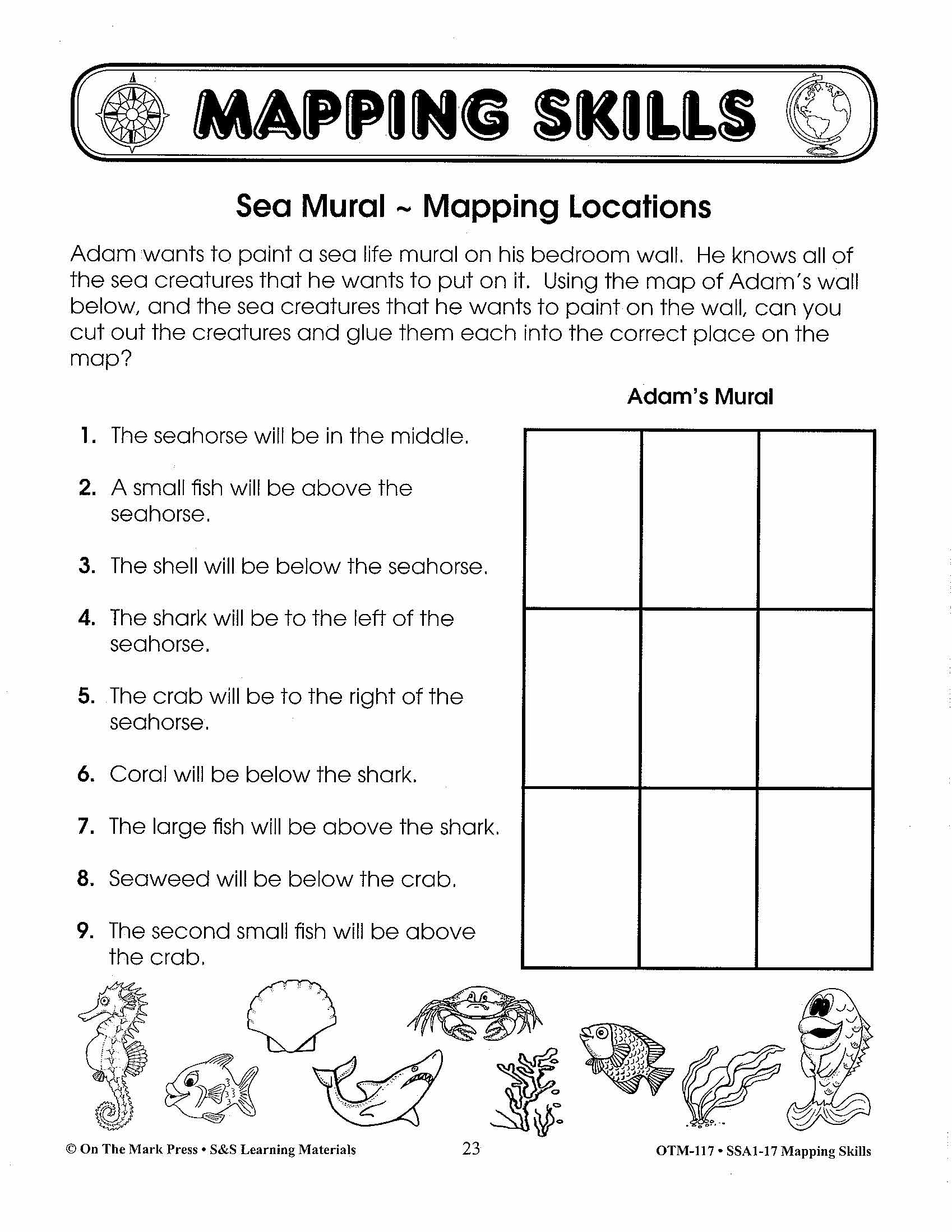

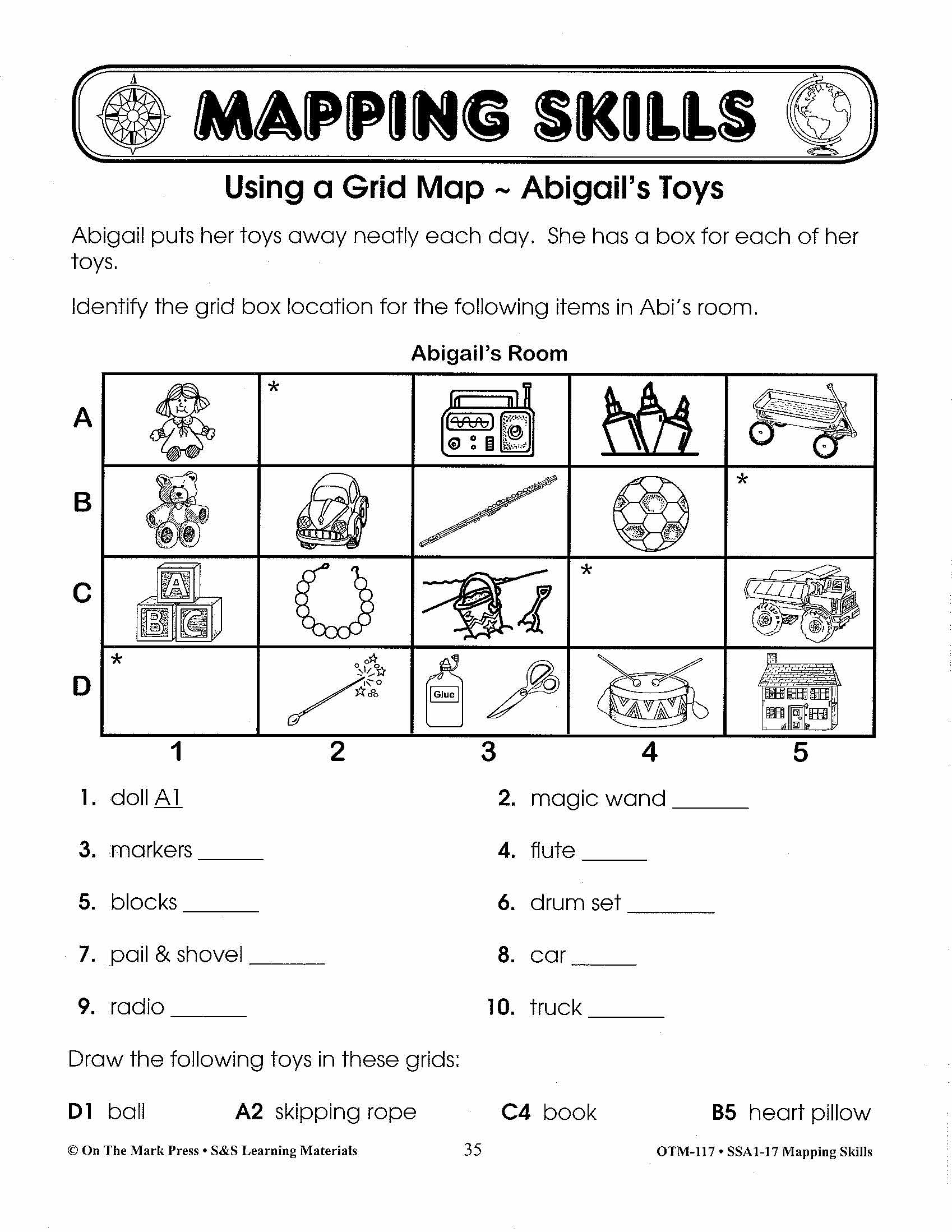
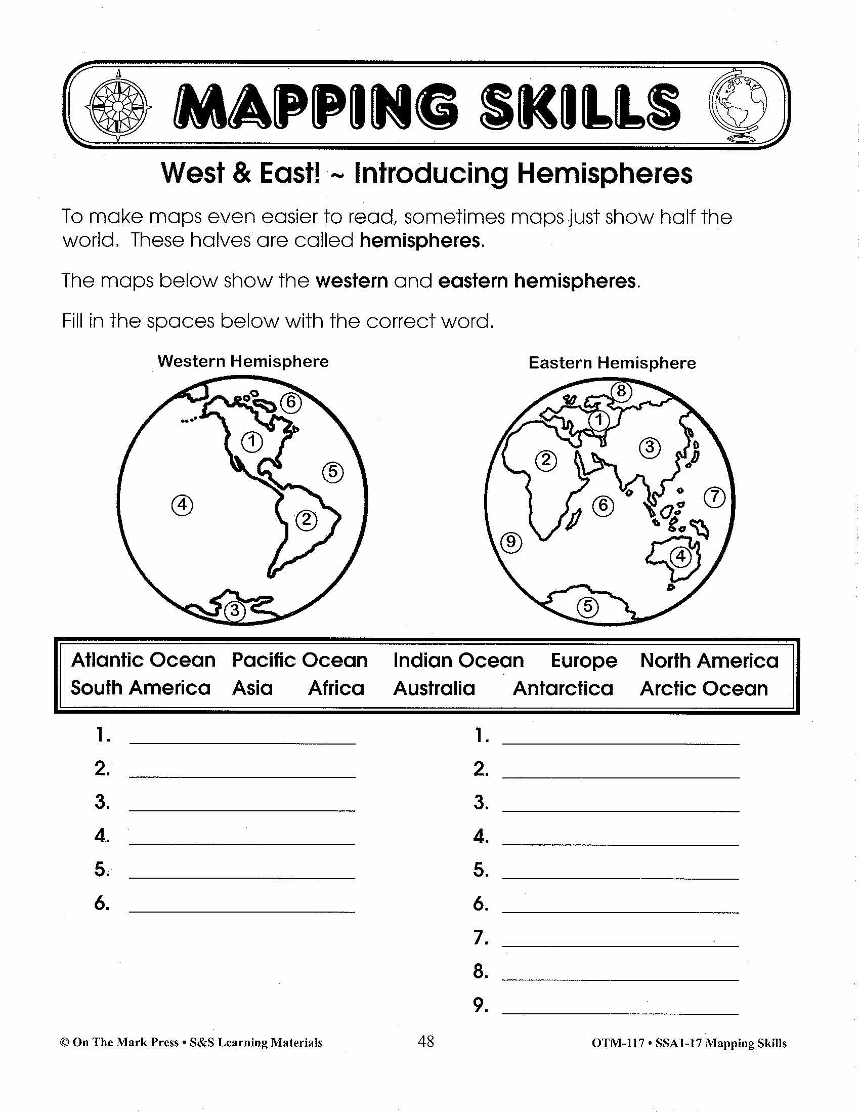

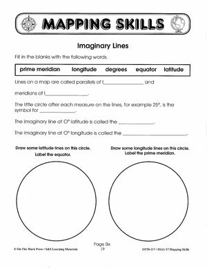

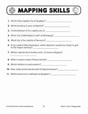

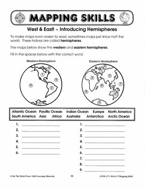
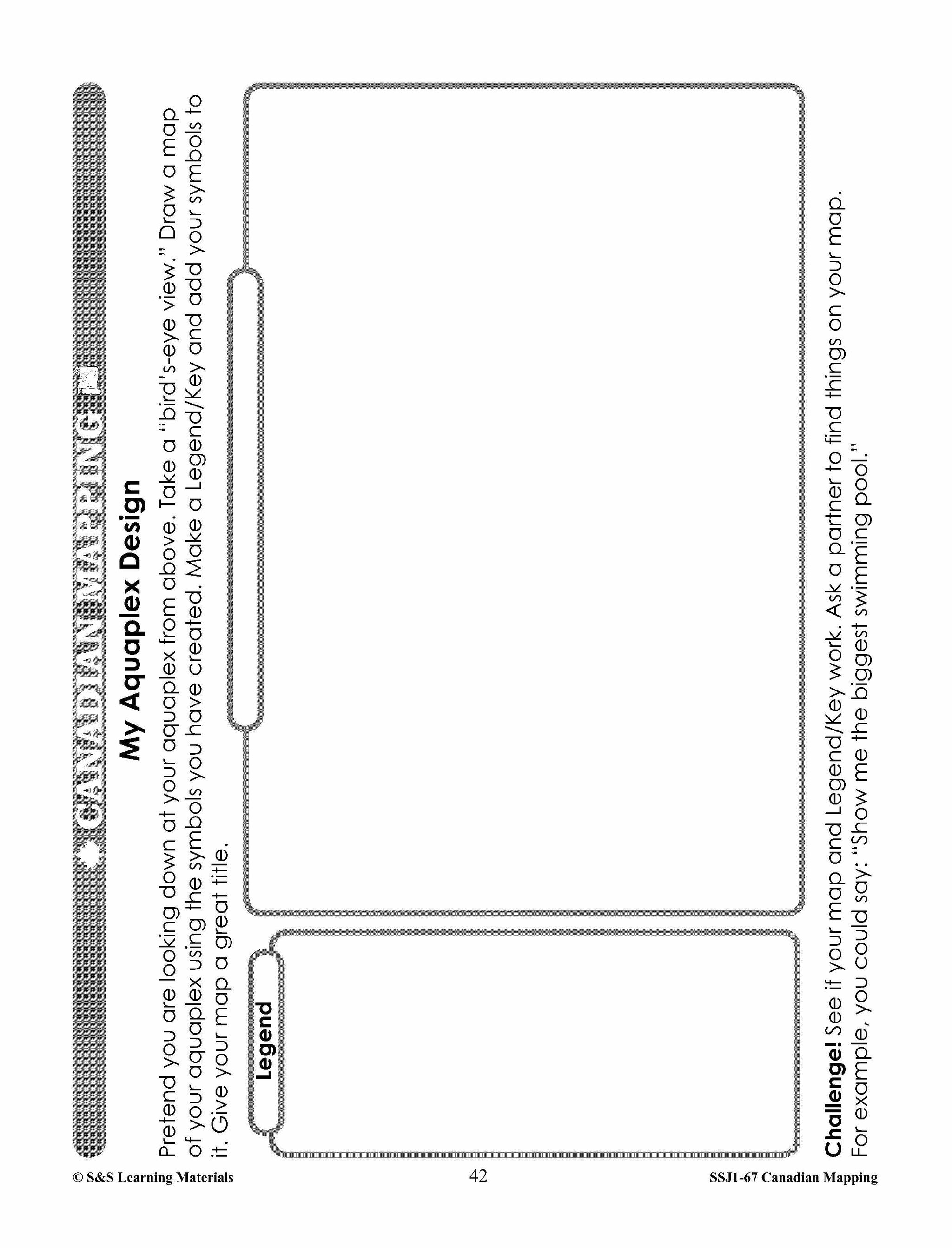
Mapping Skills Grades 1-3
$23.99 CAD
Help your young learners understand the basics of reading and following maps with the ideas and information in this resource. Students will learn about the compass rose, direction word, map symbols and using a map legend. Continents, hemispheres, meridians, latitude,...
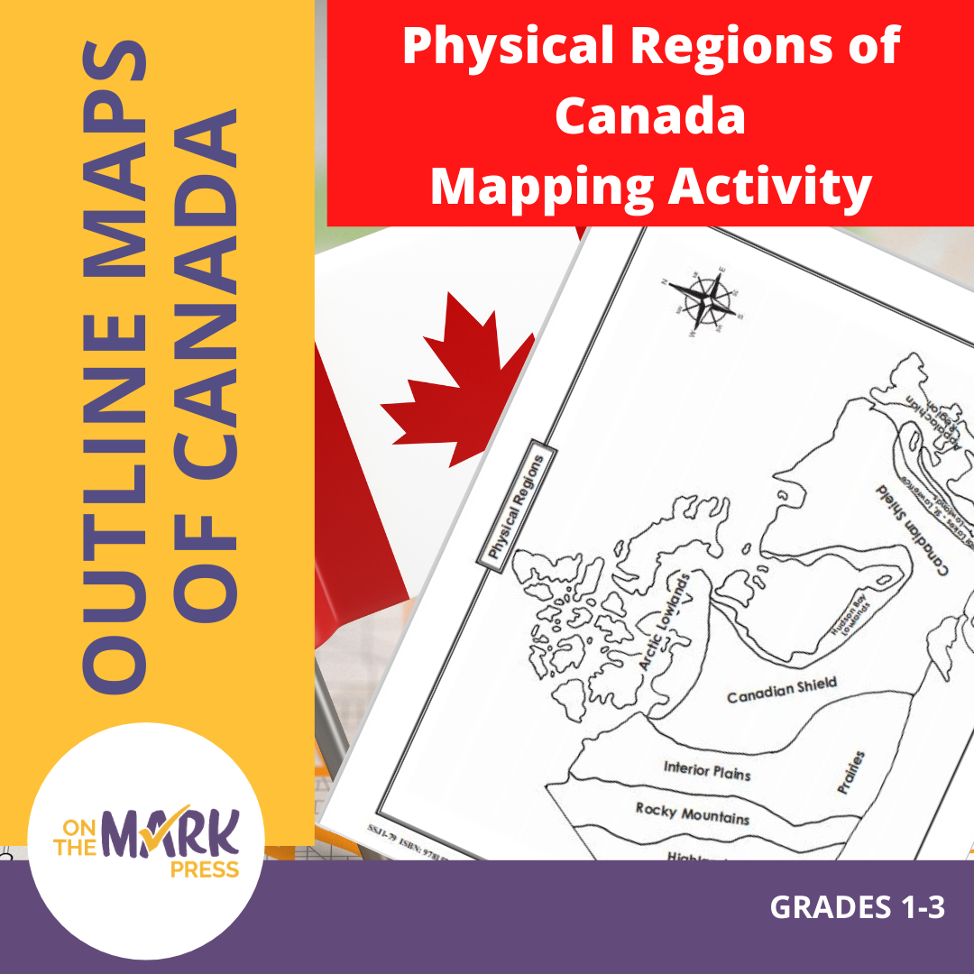


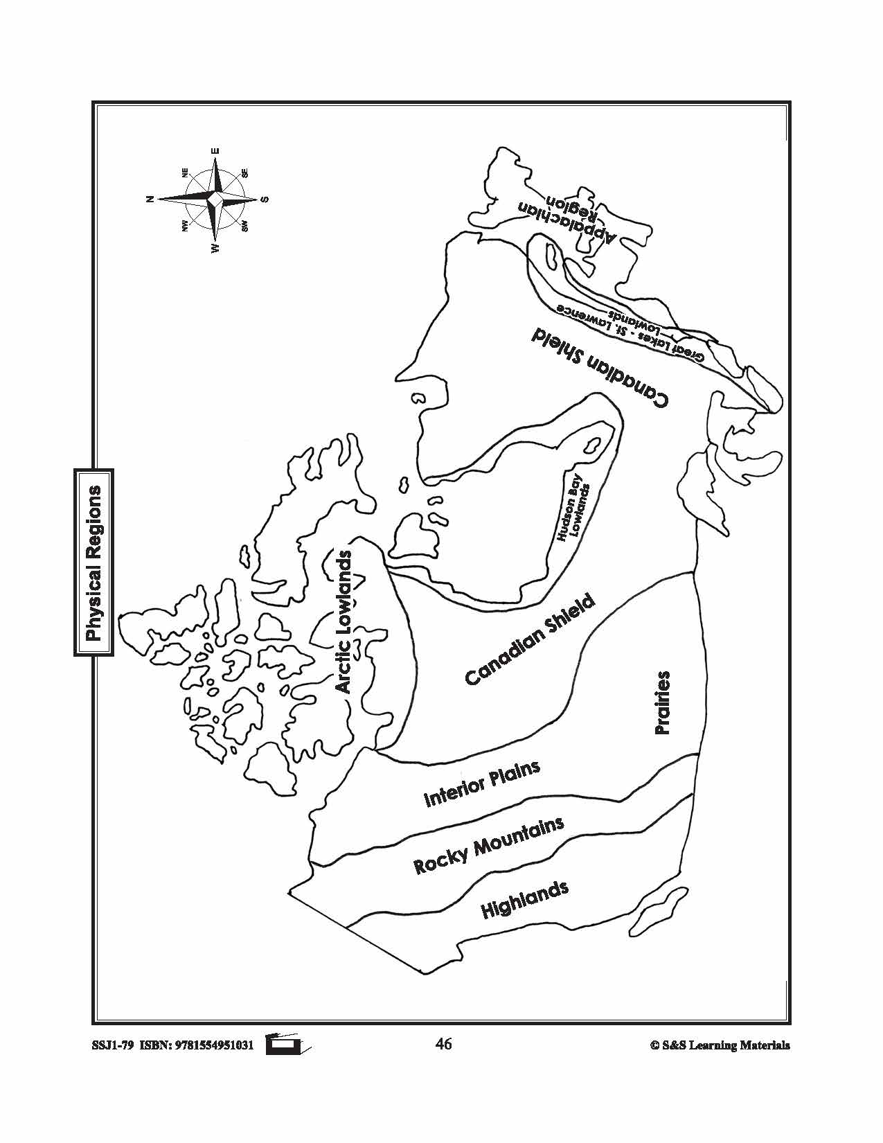
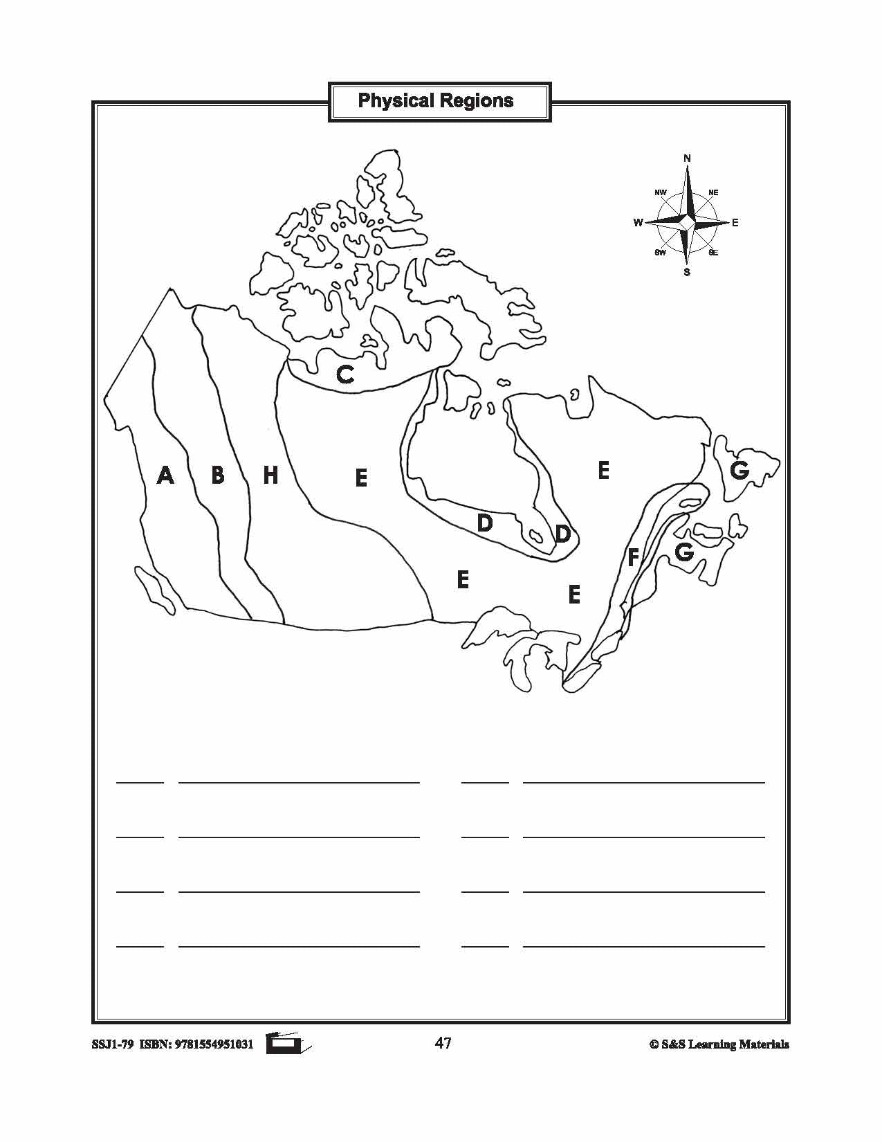


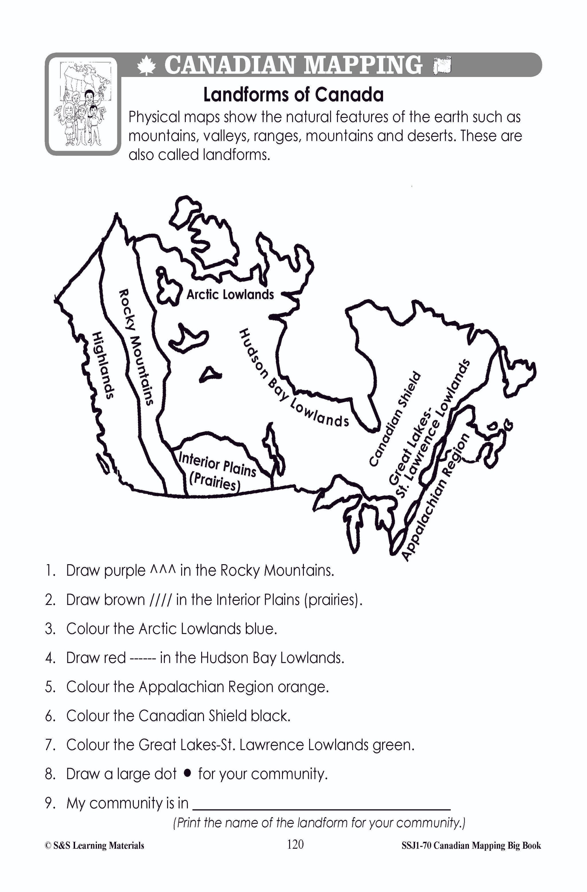
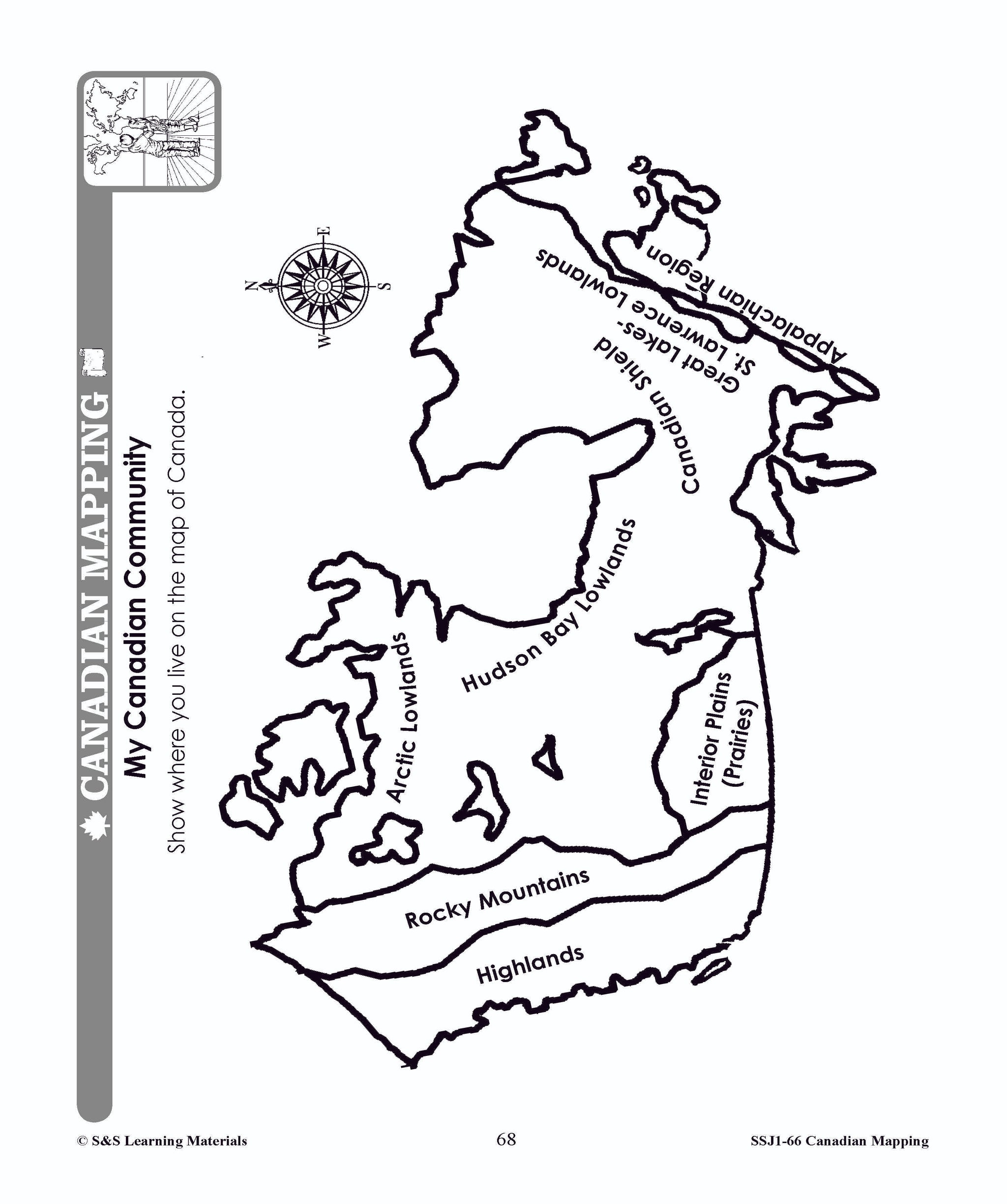
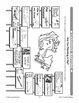
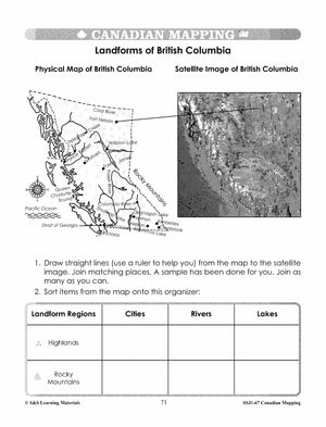
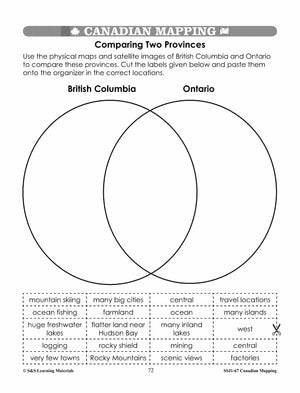
Physical Regions of Canada Mapping Activity Grades 1-3
$2.95 CAD
Students will label the physical regions of Canada. 3 pages.
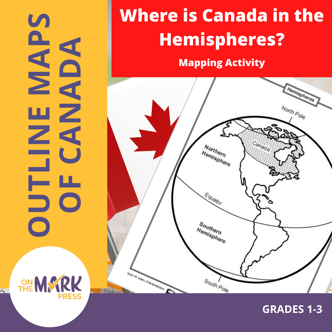


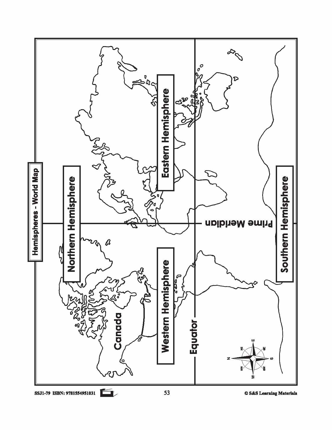


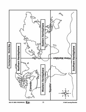
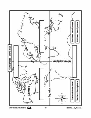
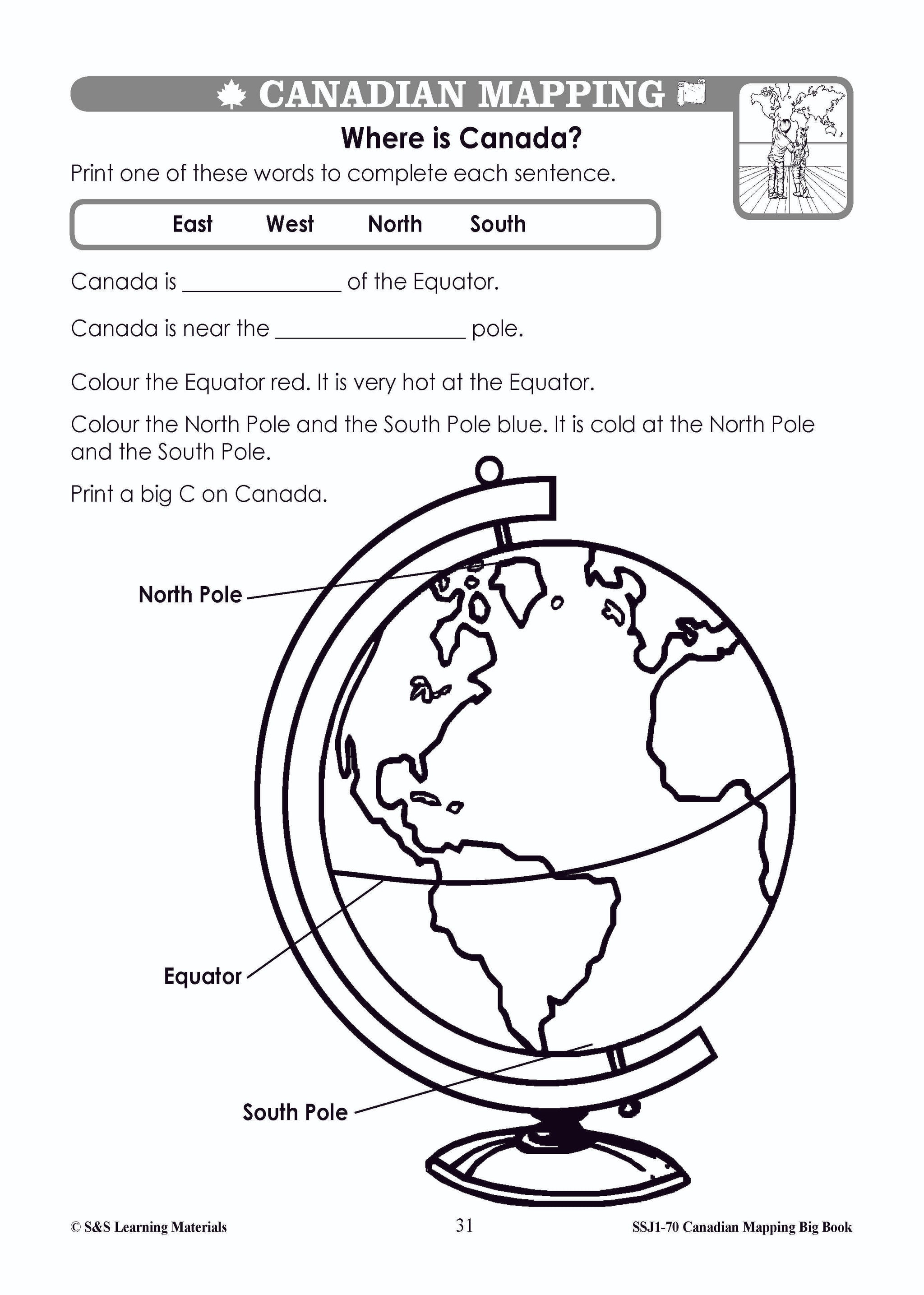
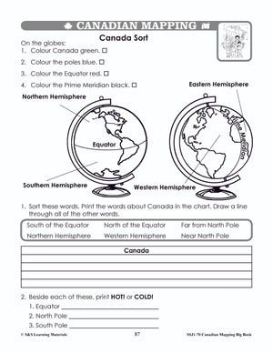
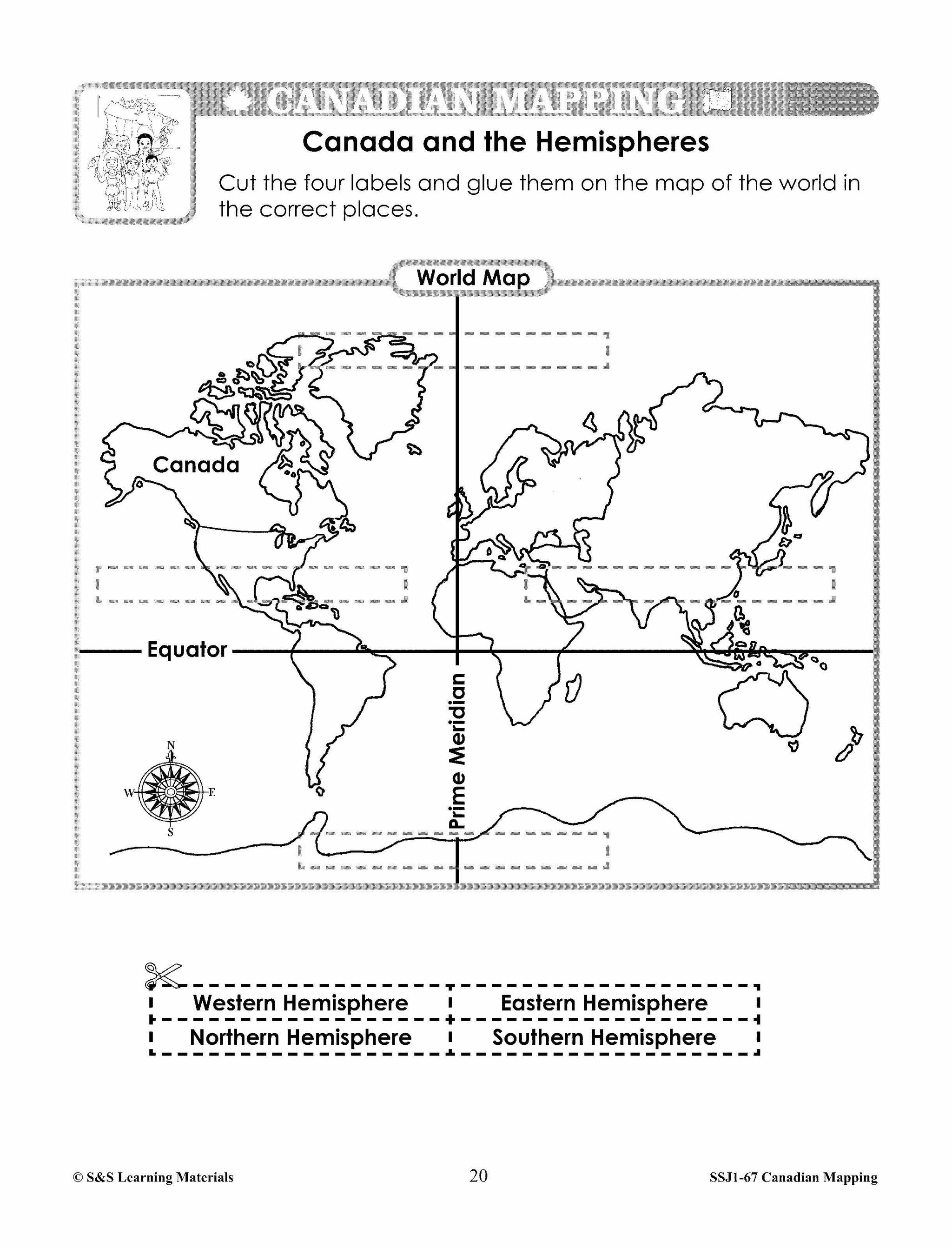
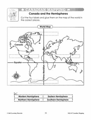
Where is Canada in the Hemispheres? Mapping Activity Gr. 1-3
$3.95 CAD
Two maps showing Canada in the hemisphere and one worksheet for students to complete.