
Subjects

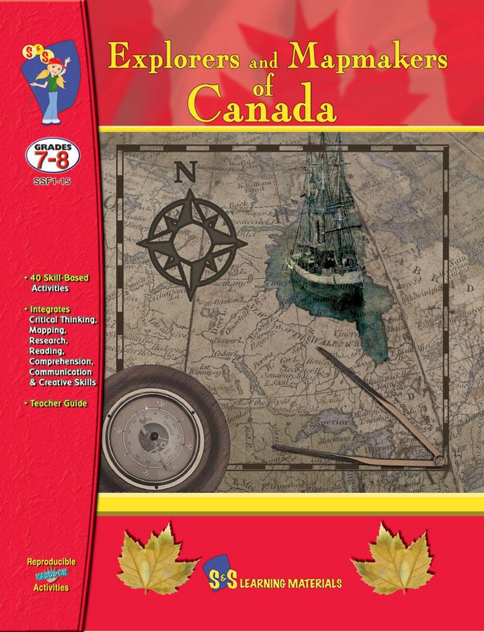


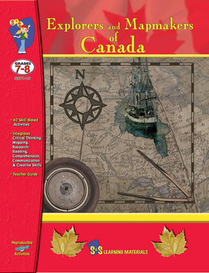
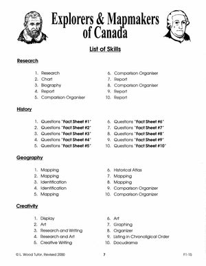


Explorers & Mapmakers of Canada Grades 7-8
$23.99 CAD
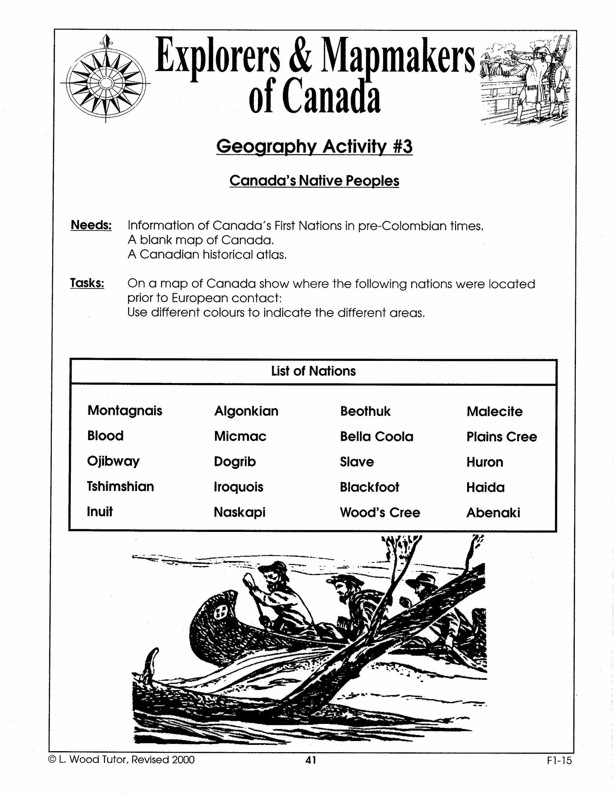
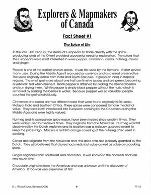
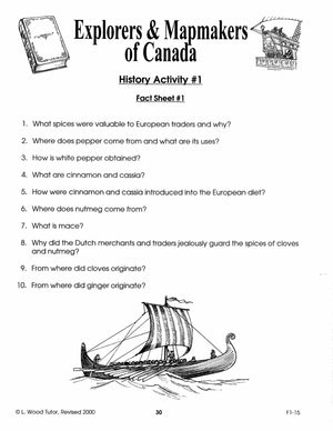
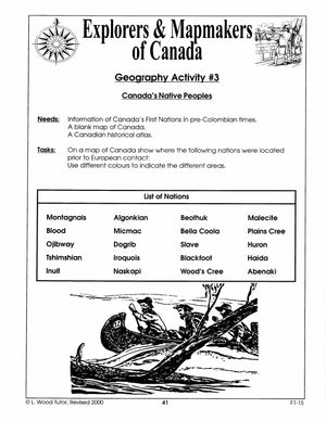
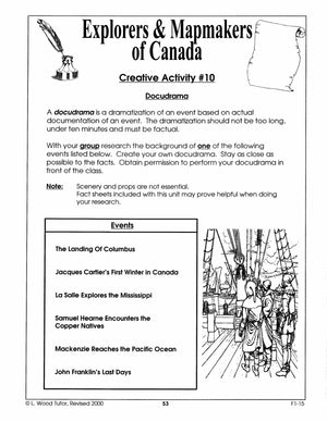
Focuses on the Territorial Claims of Canada, Henry Hudson, Samuel de Champlain, and Christopher Columbus are a few of the explorers featured. Activities pertaining to History, Geography, Research, and Creativity. Ten Information Sheets and 15 Explorer Pictures. 40 activities. 78...


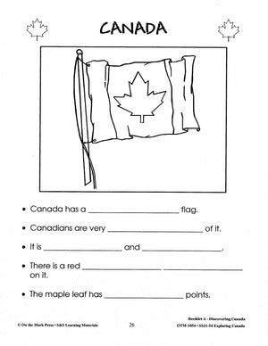
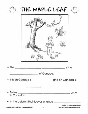
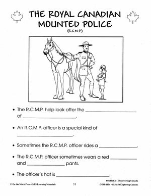


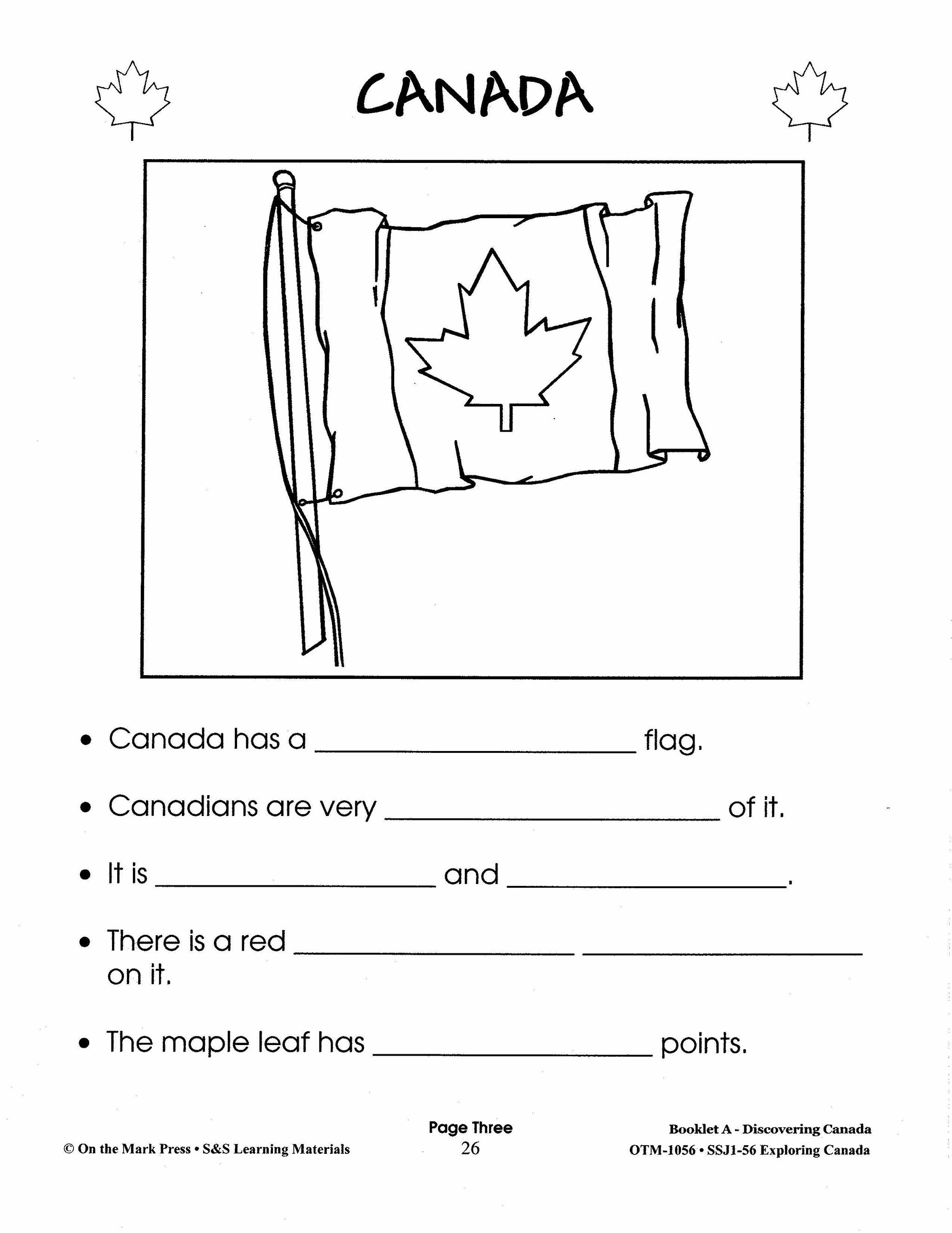
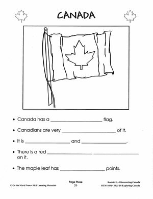
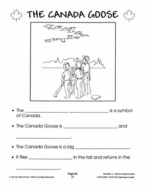
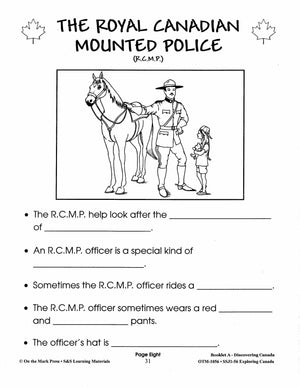
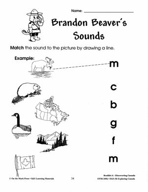
Exploring Canada Grades 1-3
$26.99 CAD
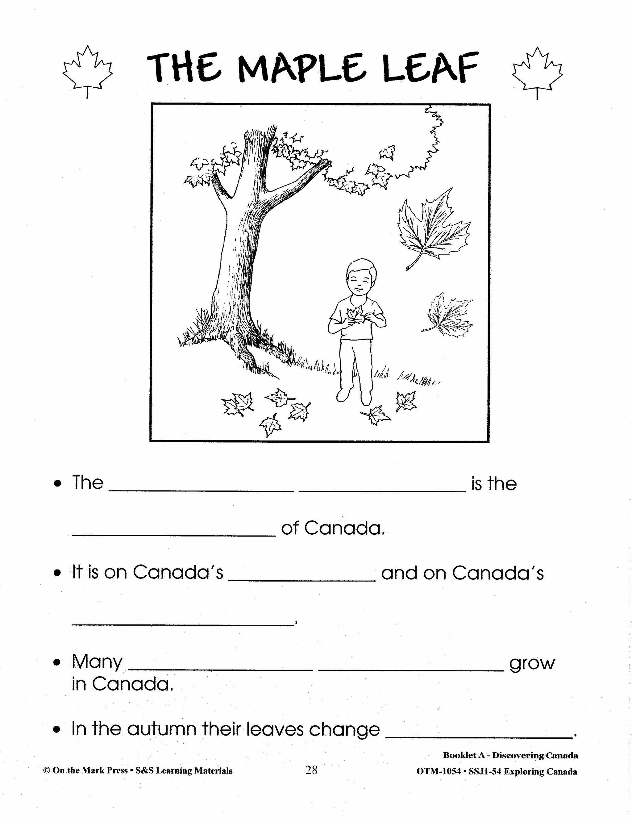
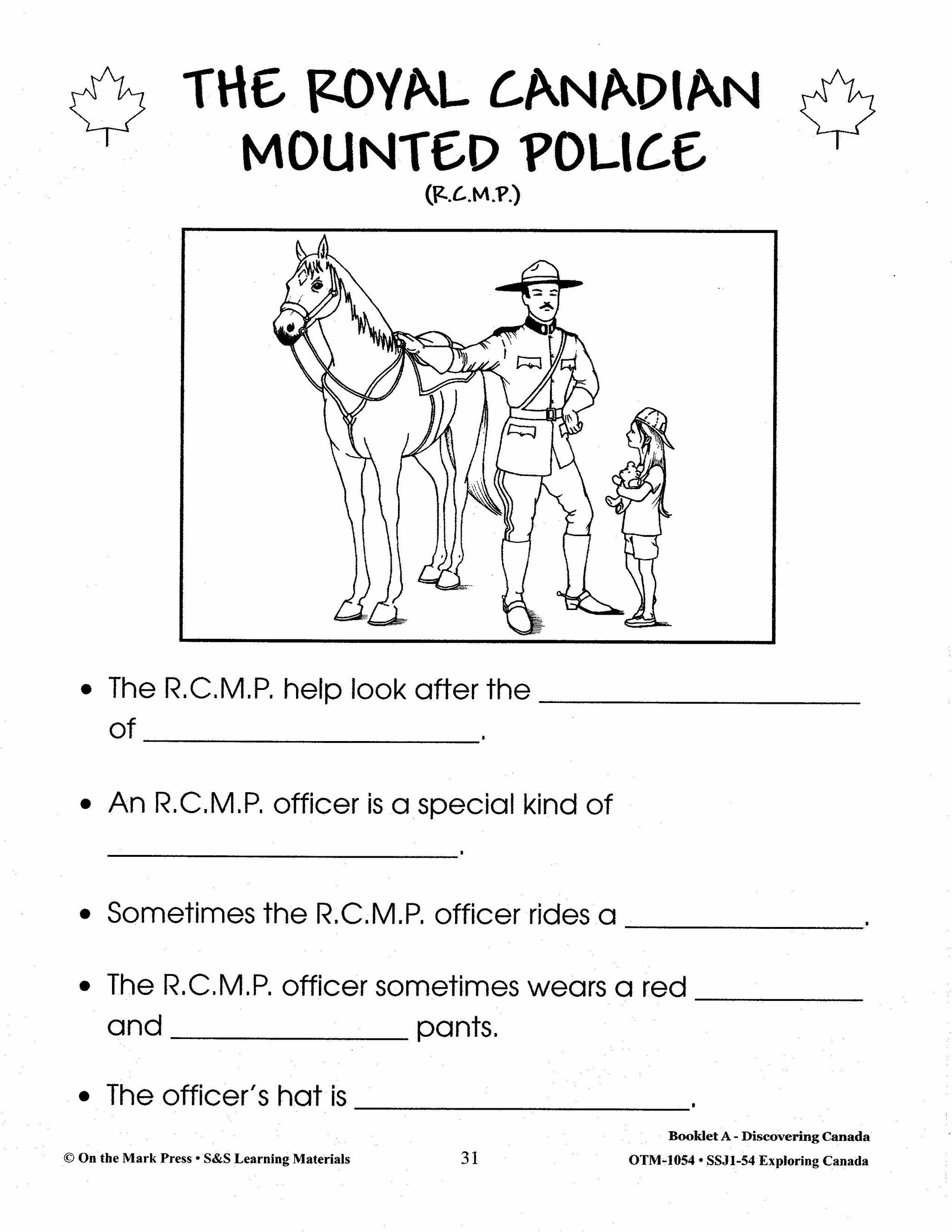
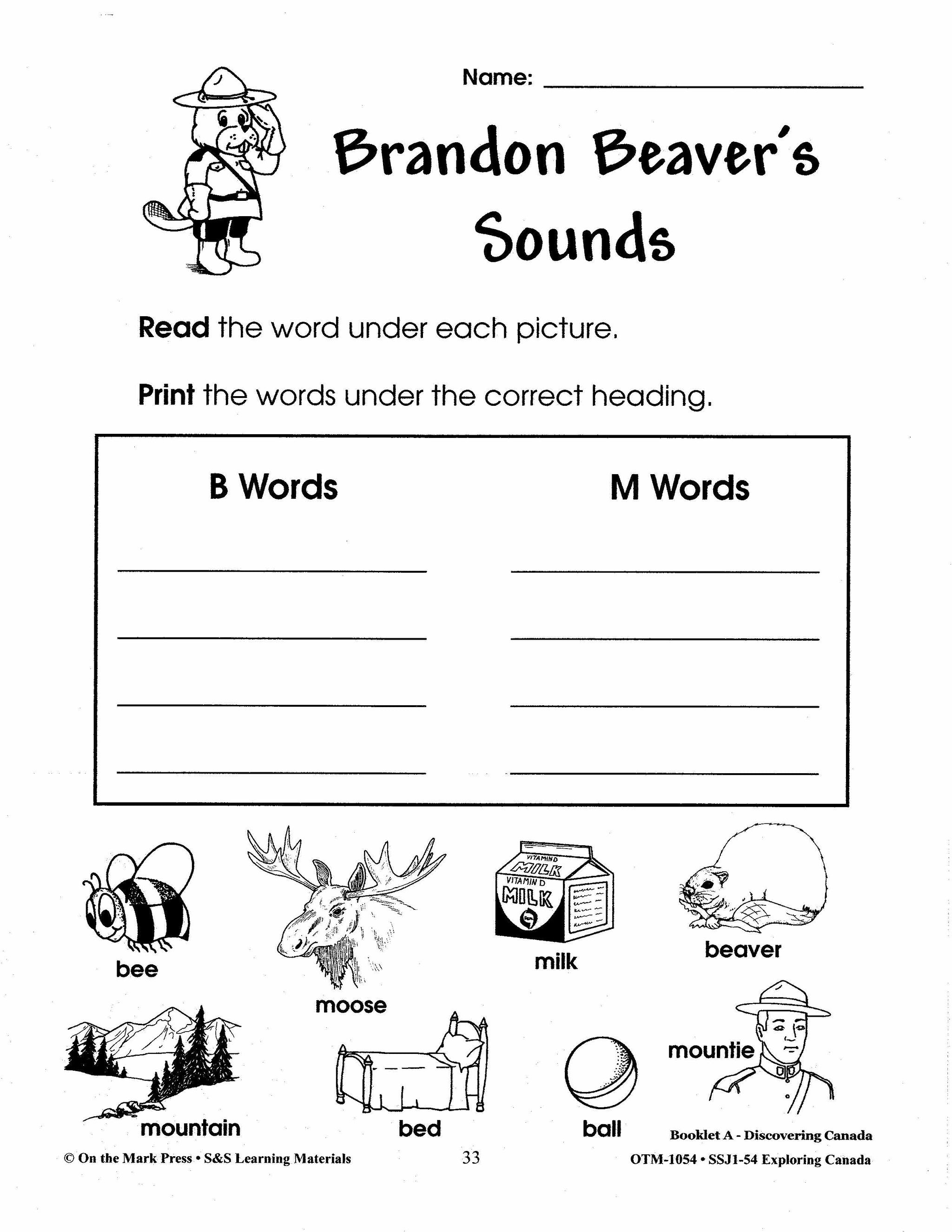
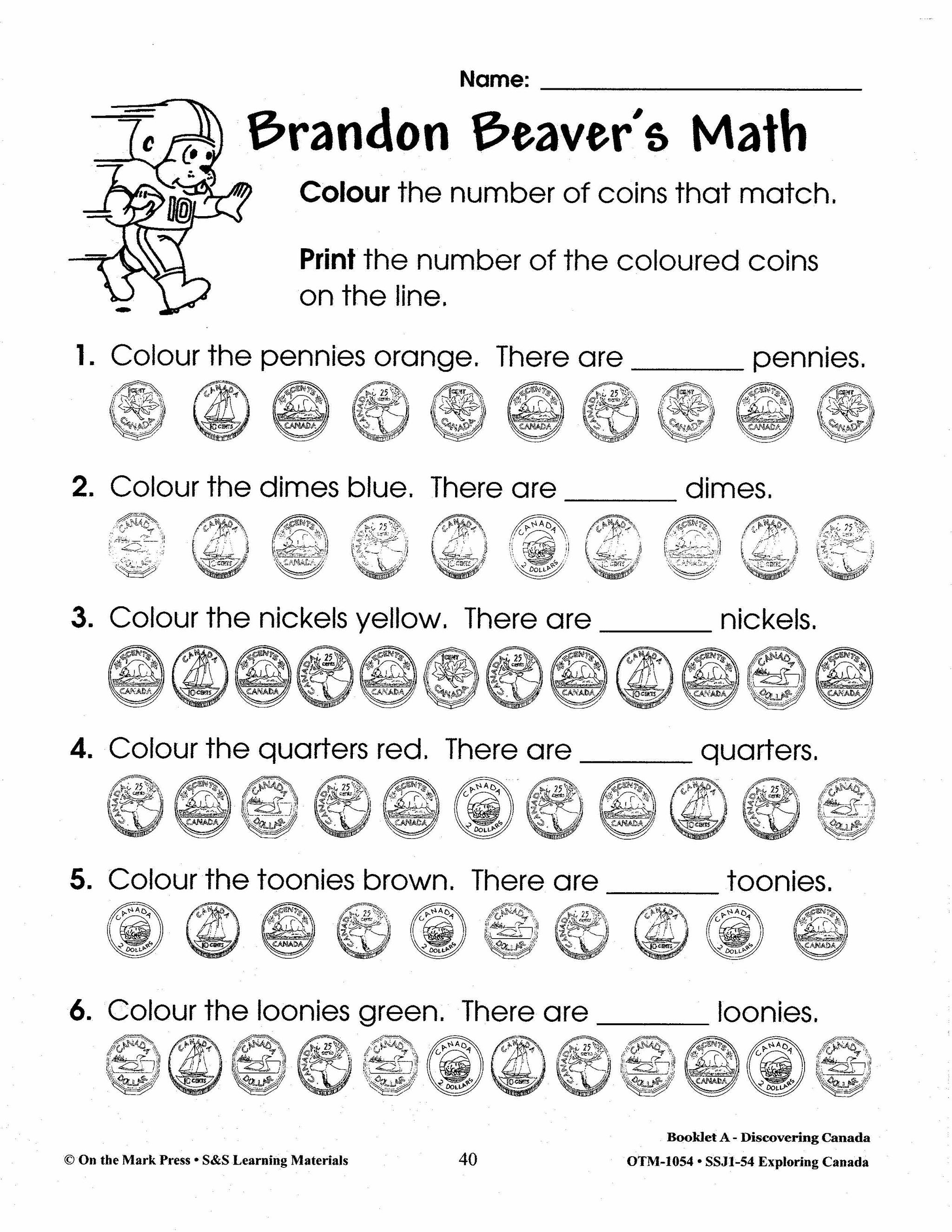
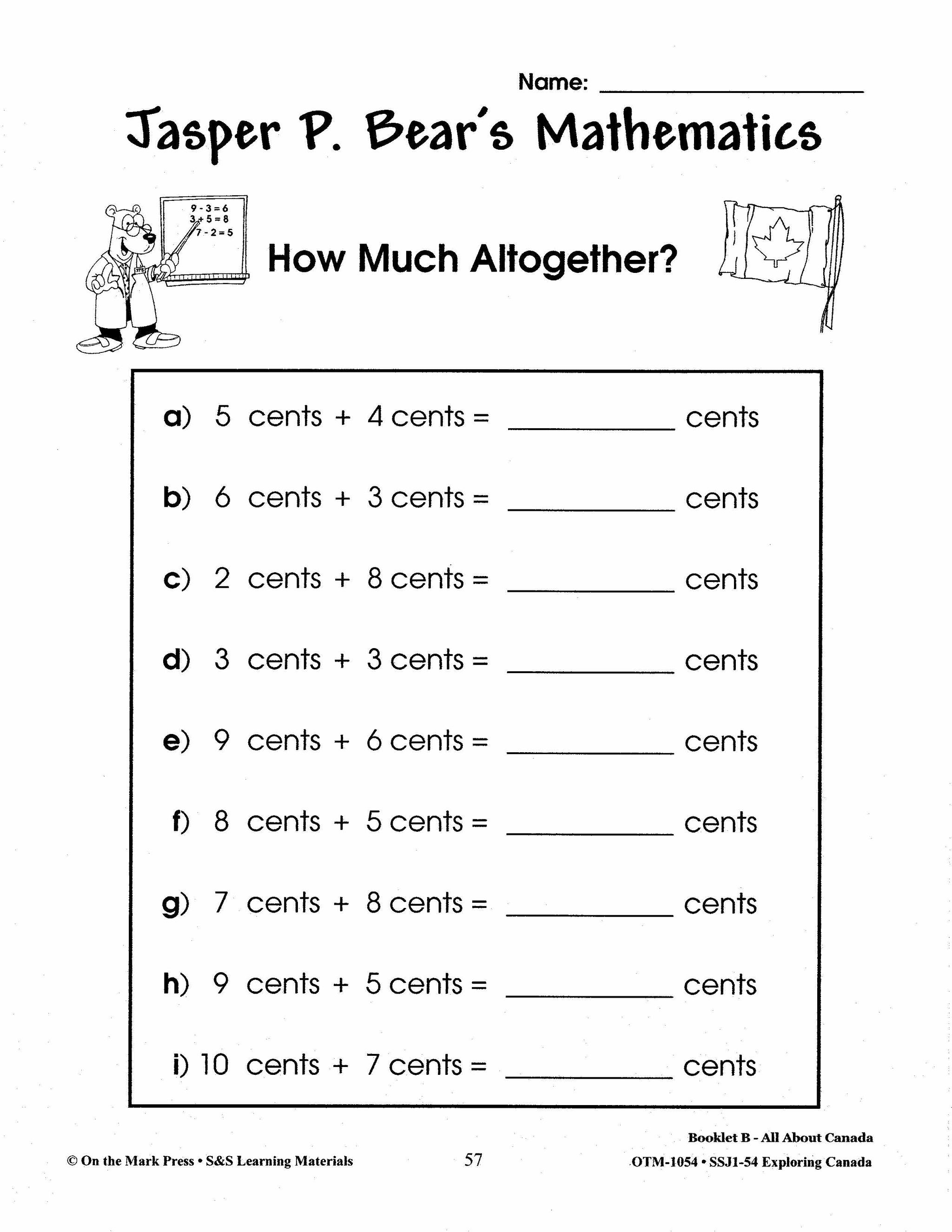
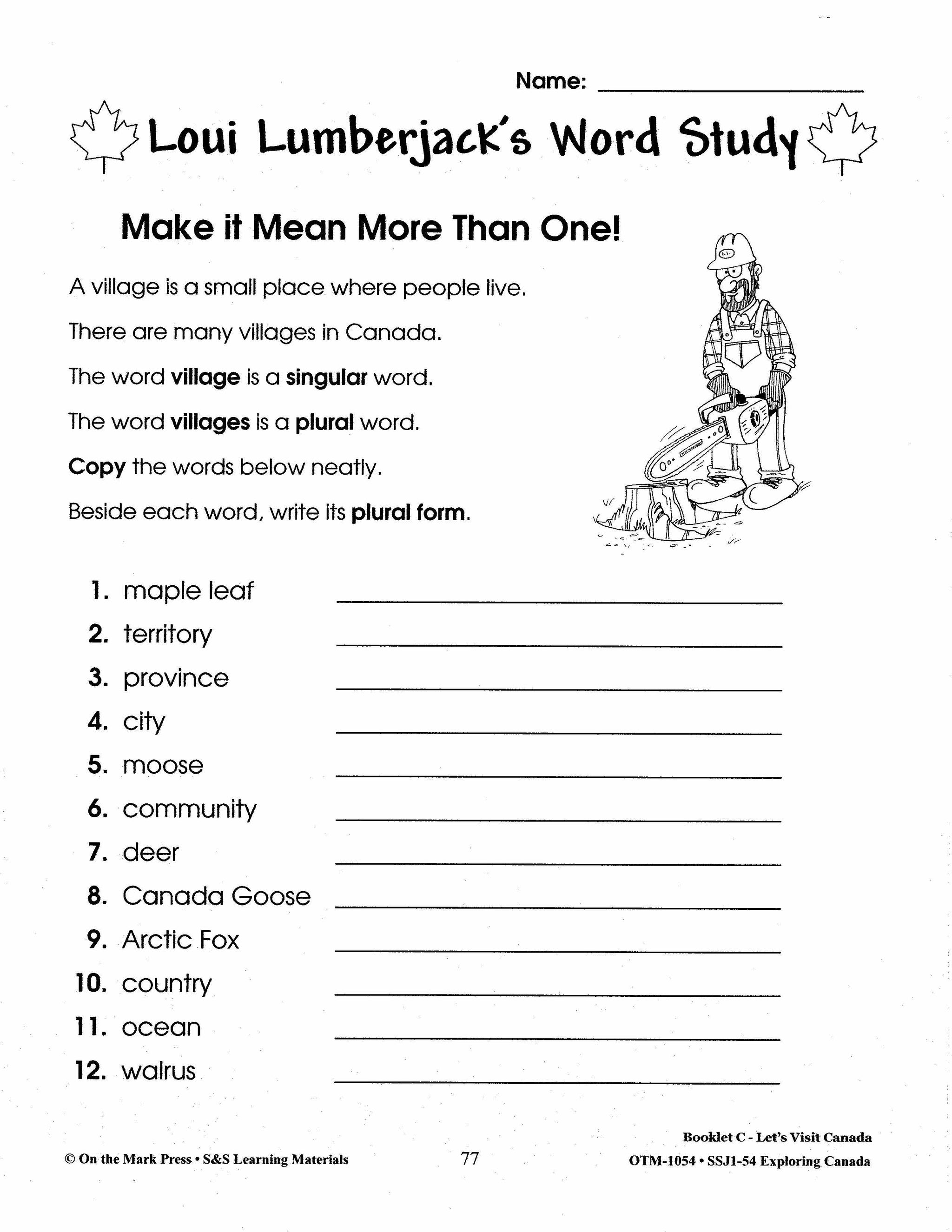
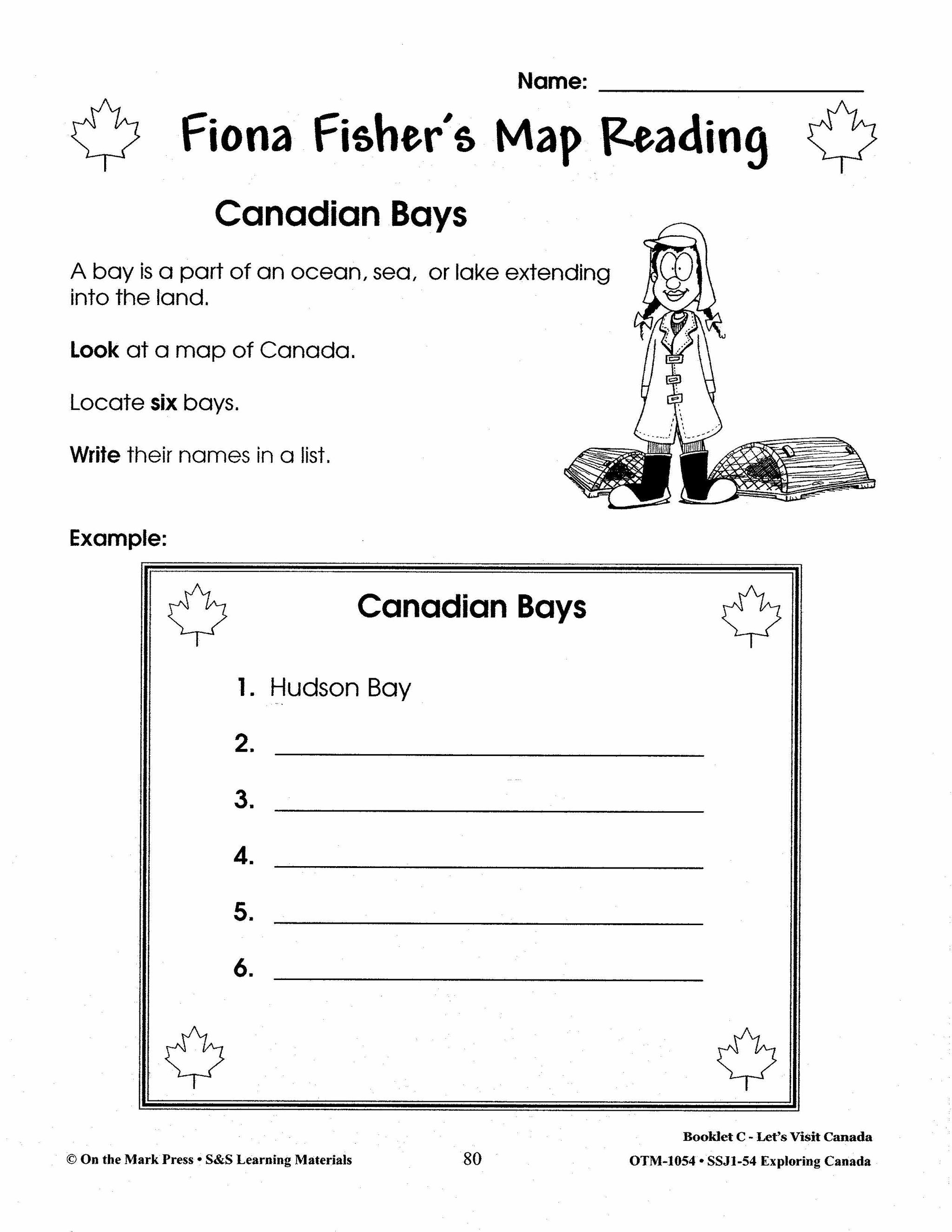
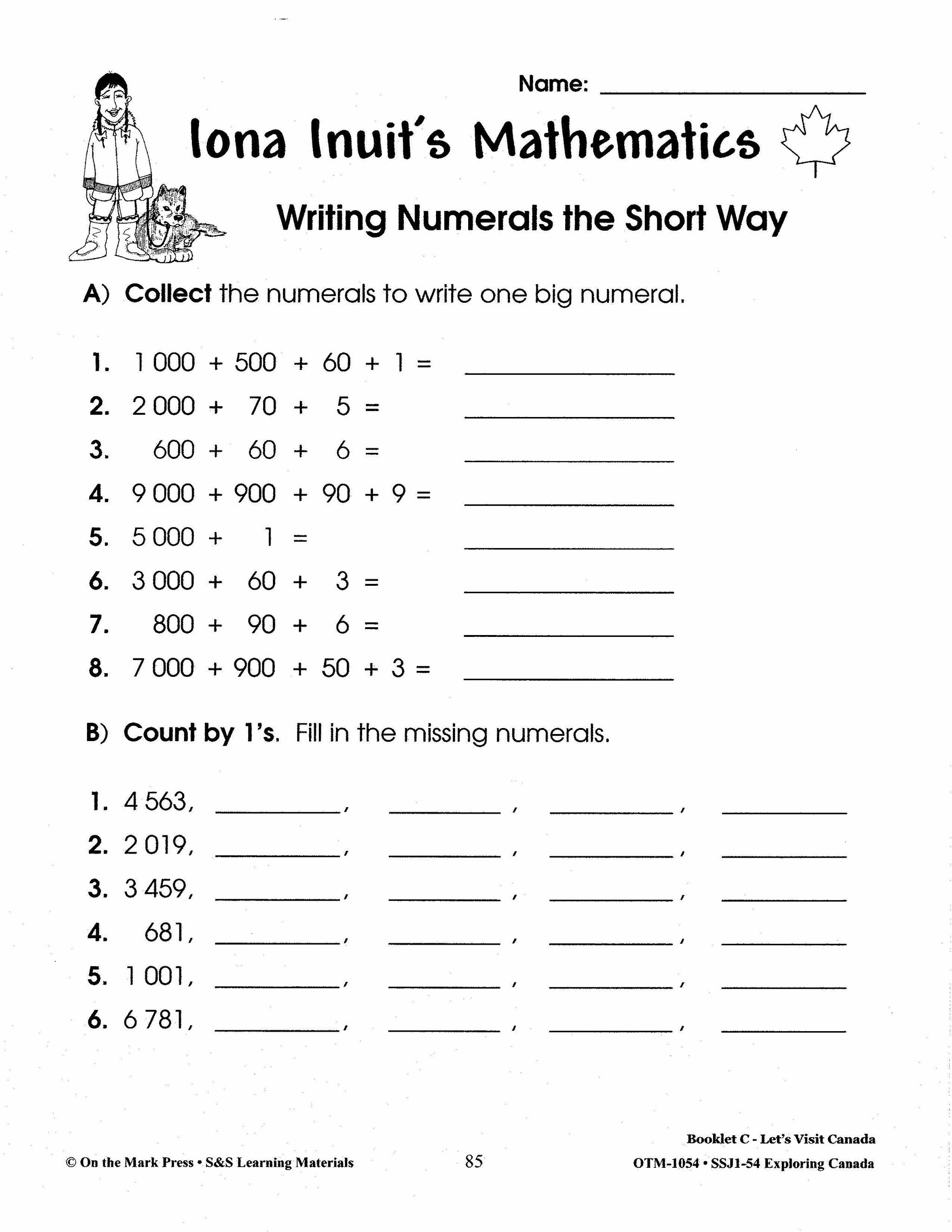
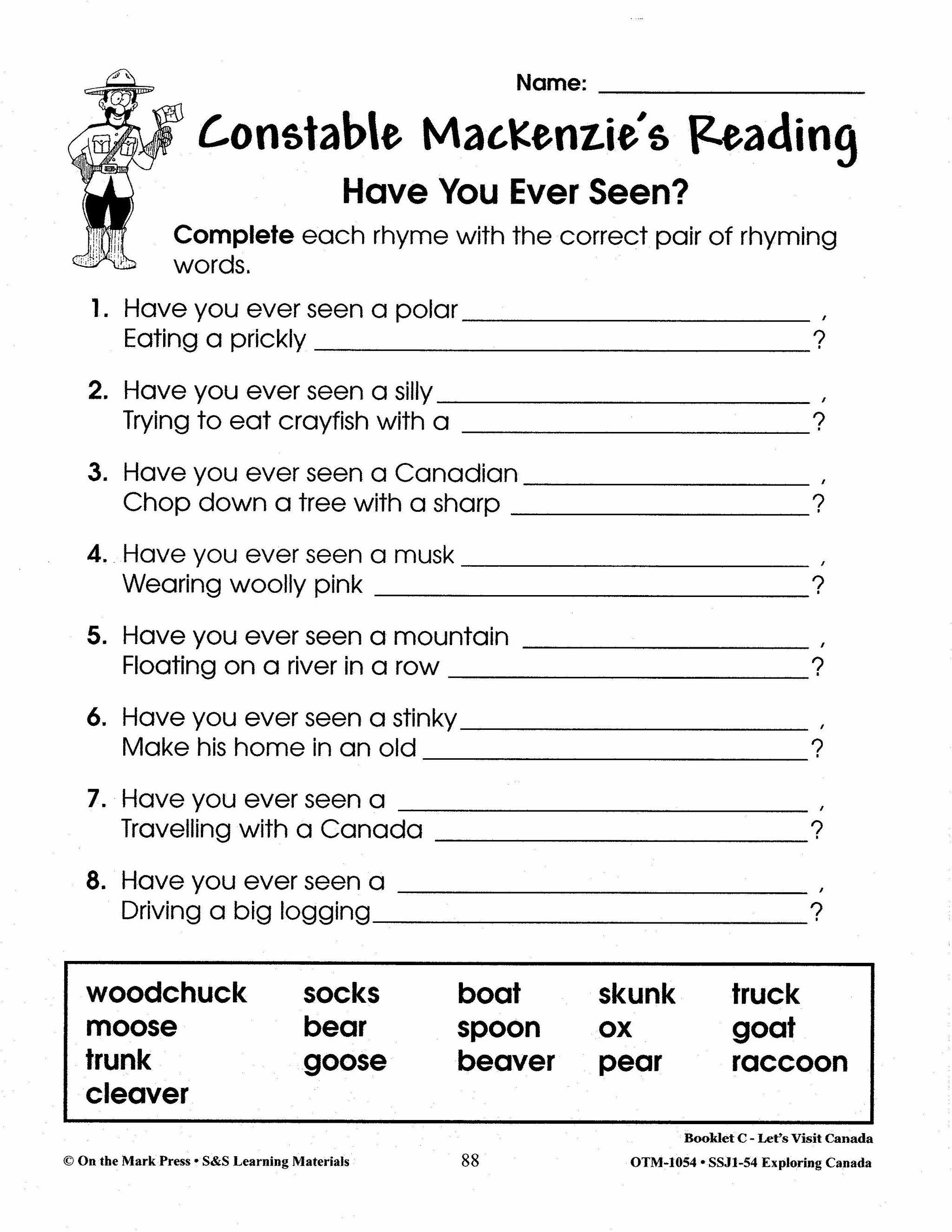
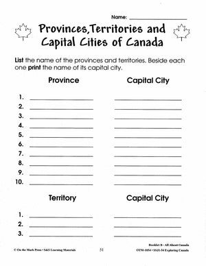
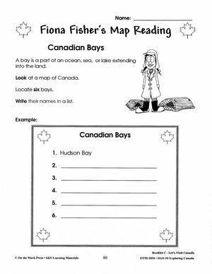
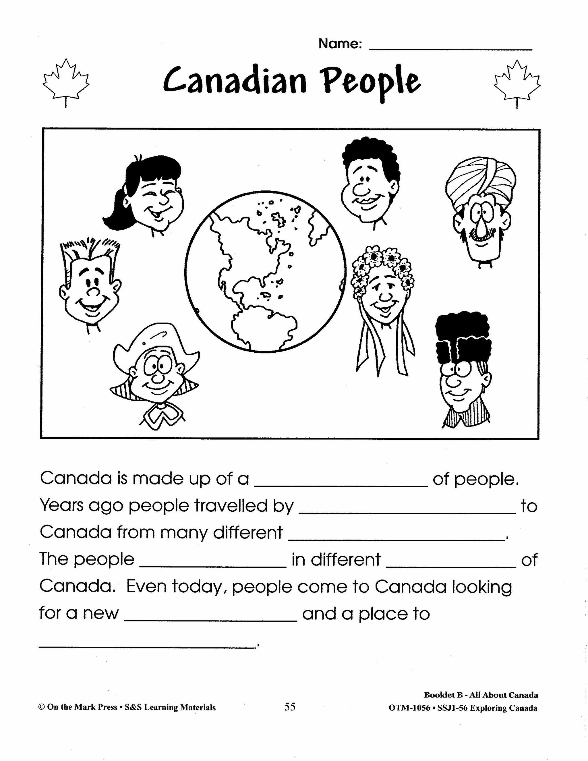
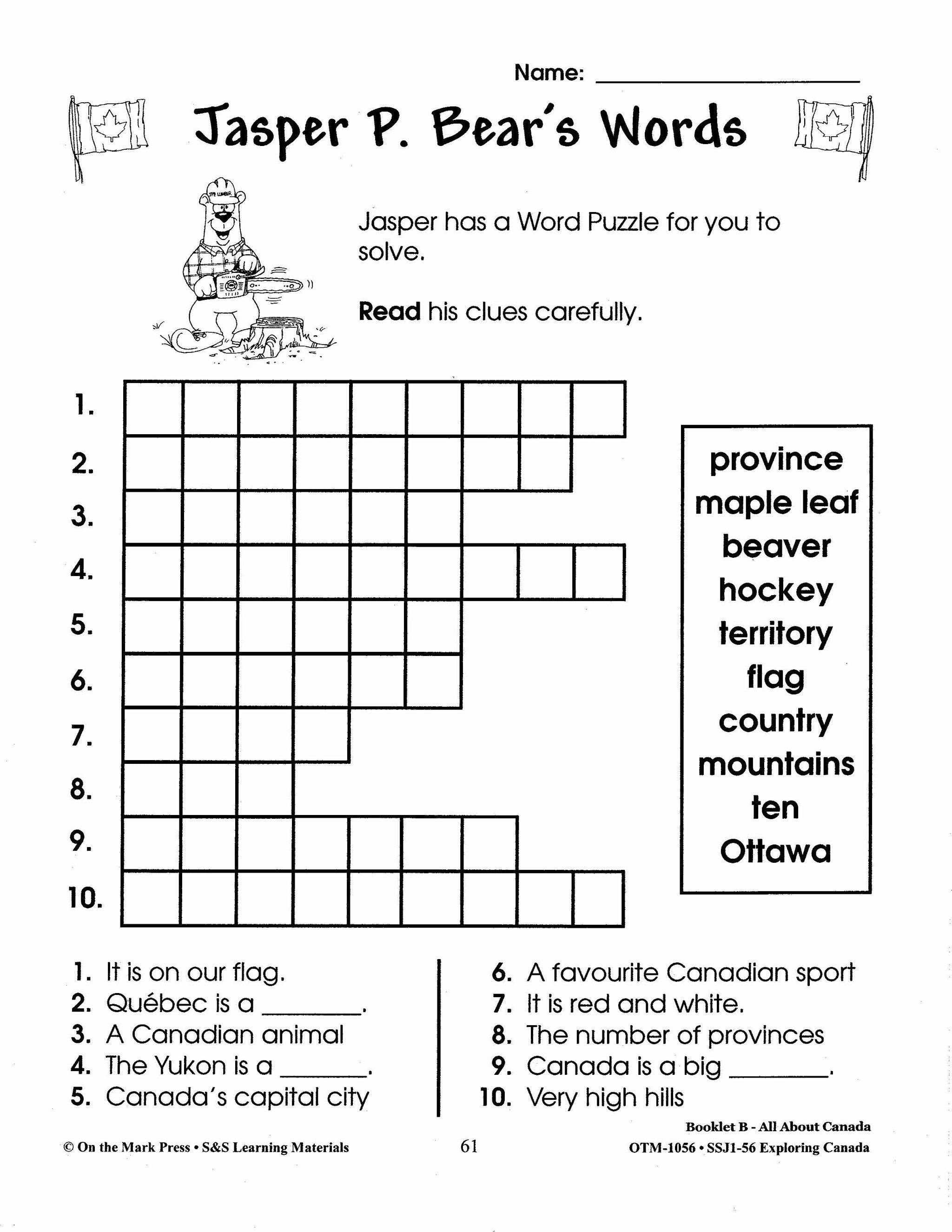
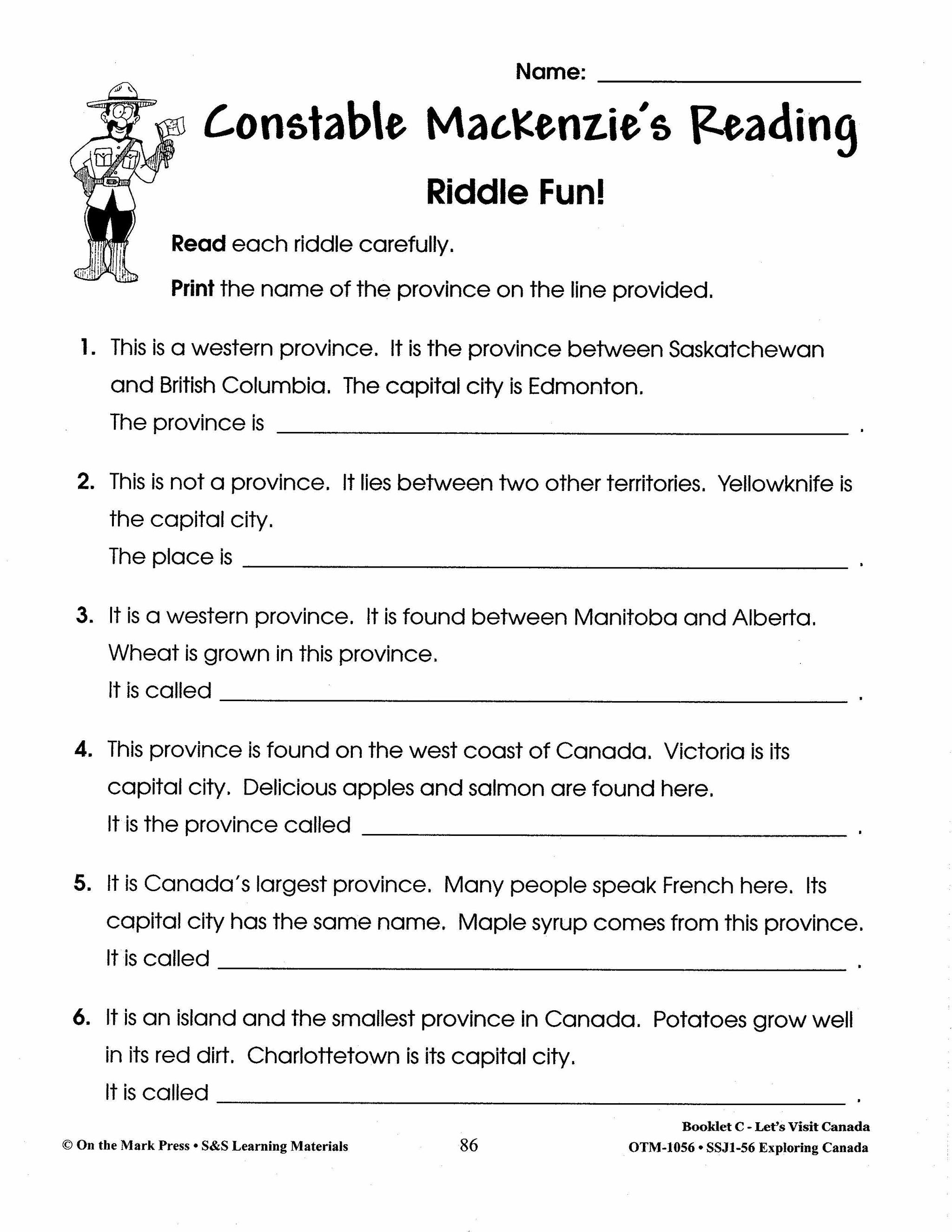
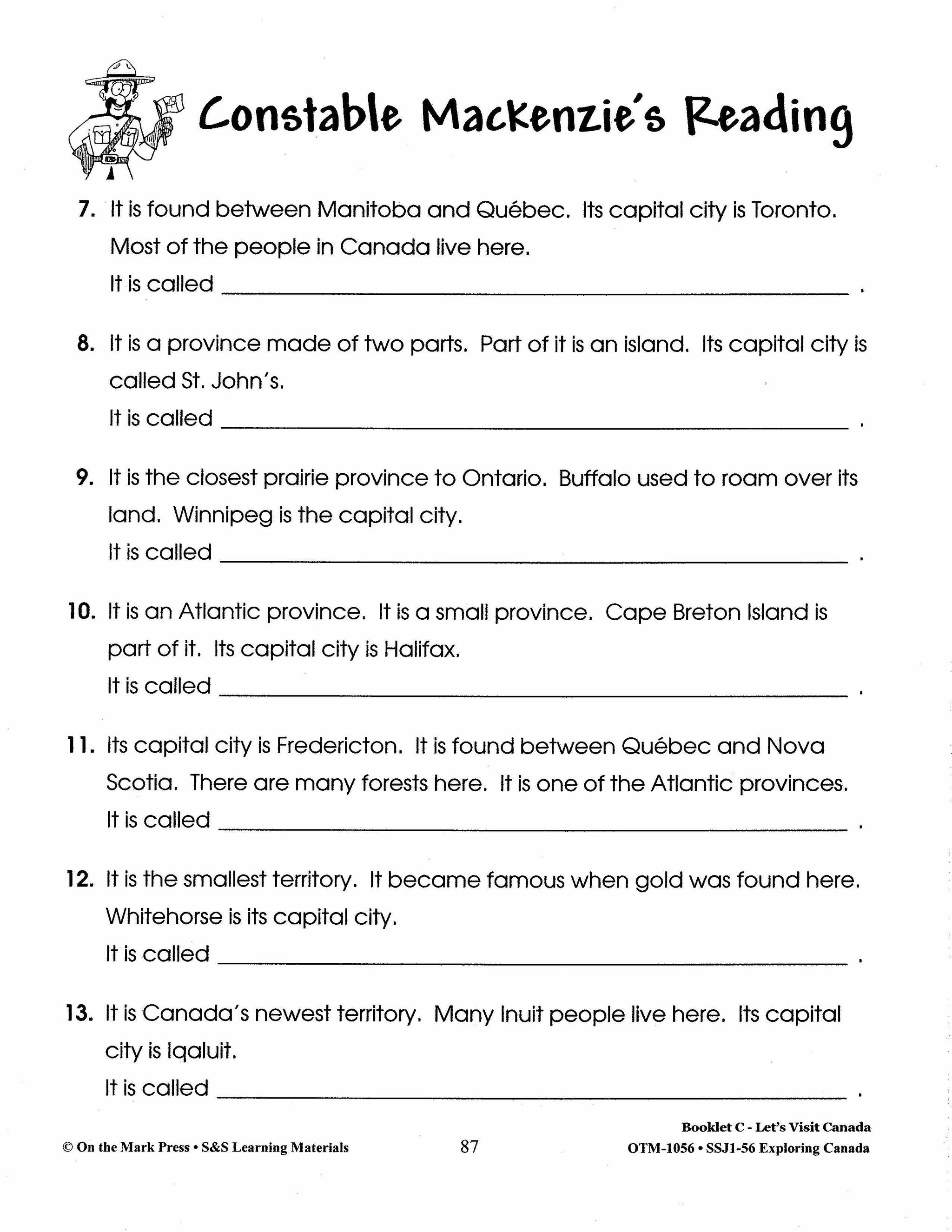
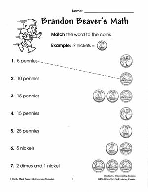
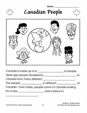
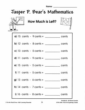
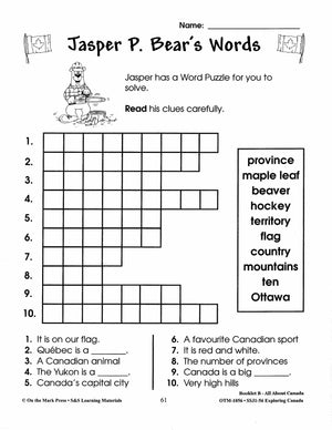
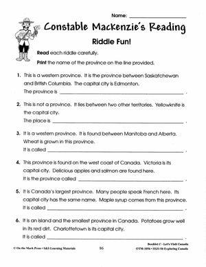
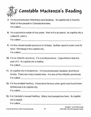
Teach your students about Canada! Divided into three sections, each with a booklet for students to complete: Booklet A - Discovering Canada Booklet B Canada - Our Country Booklet C Let's Visit Canada Each section begins with a story that...


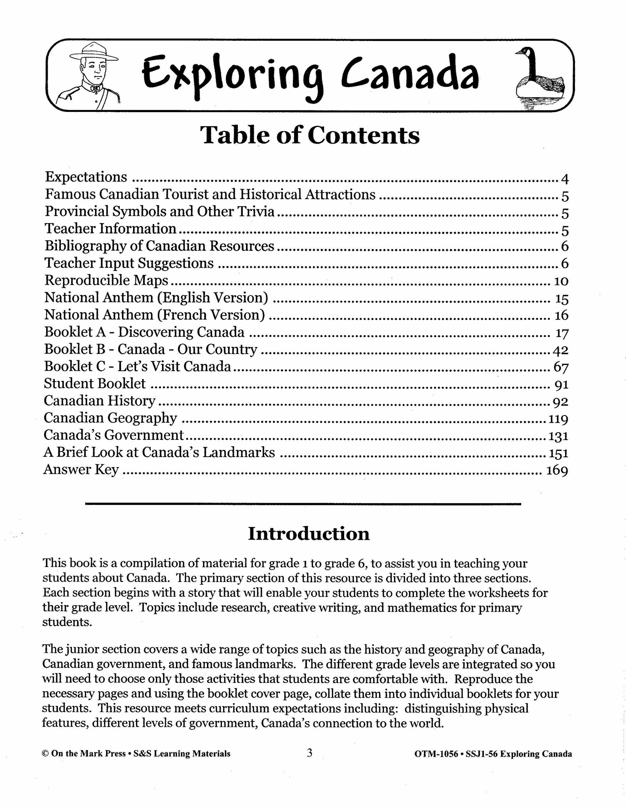


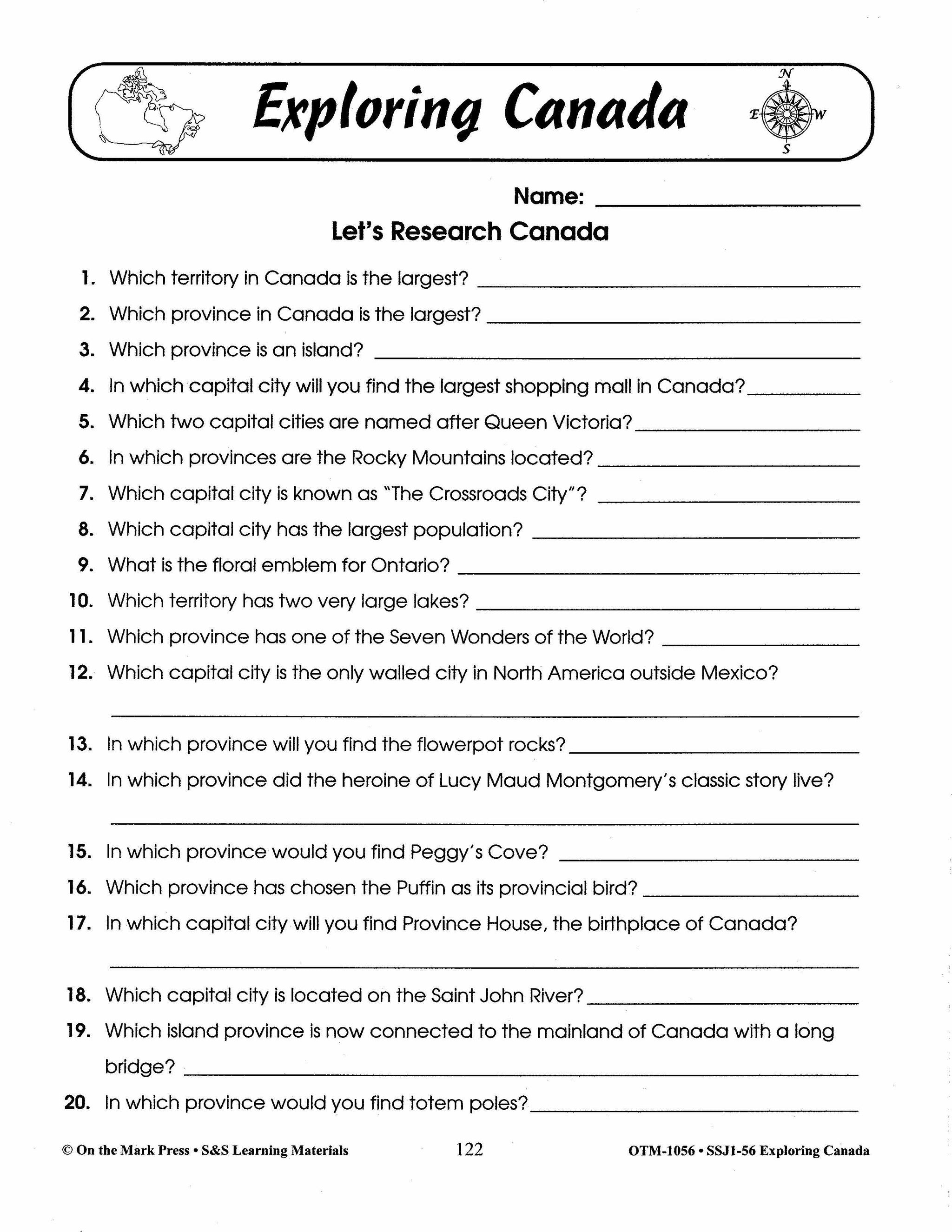
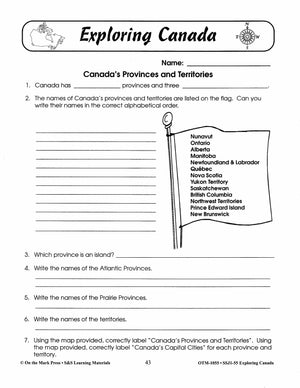
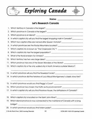
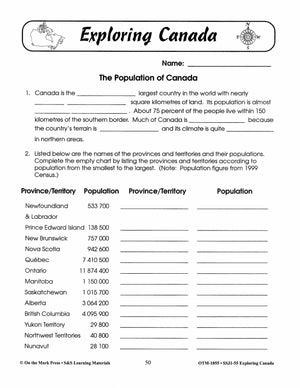
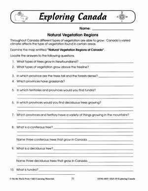
Exploring Canada Grades 1-6 Teach Canada's History and Geography
$39.99 CAD
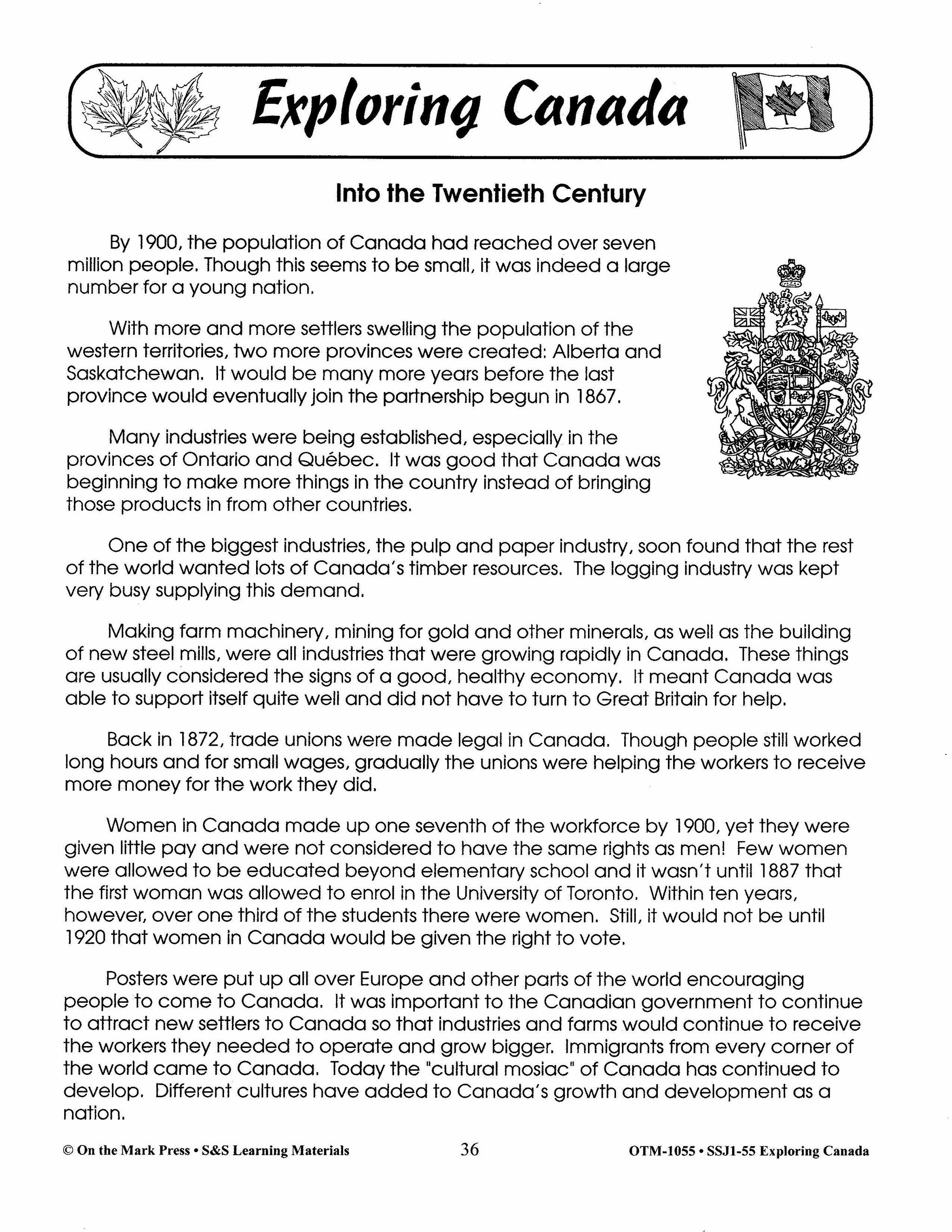
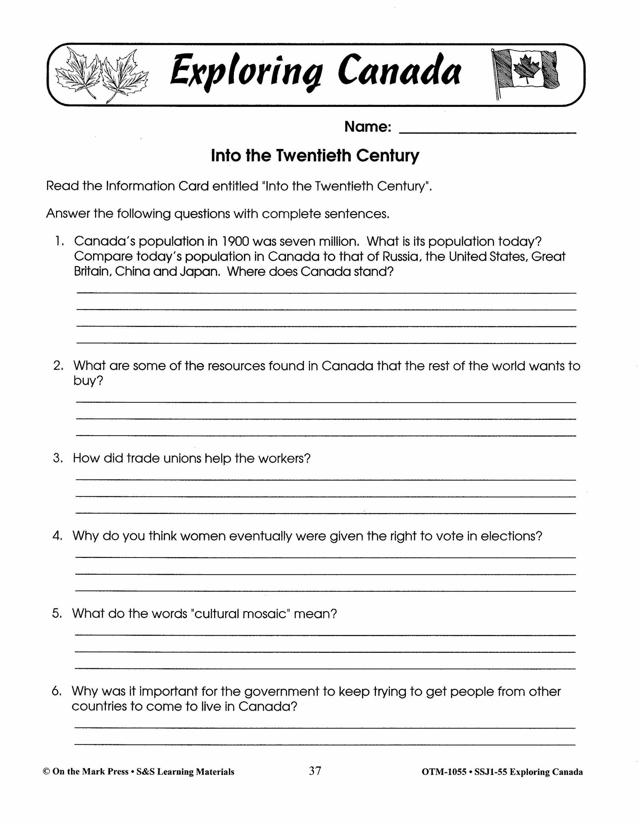
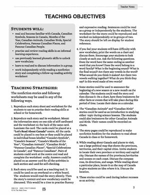
100+ Cross-Curricular Activities & Information Cards, teach Canada's history, provinces and territories, symbols and famous places. The primary section of this resource is divided into three sections. Each section begins with a story that will enable your students to complete...


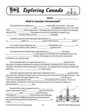
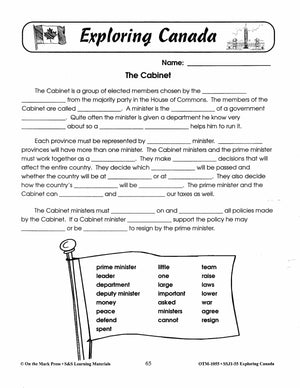
Exploring Canada Grades 4-6
$26.99 CAD
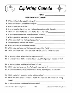
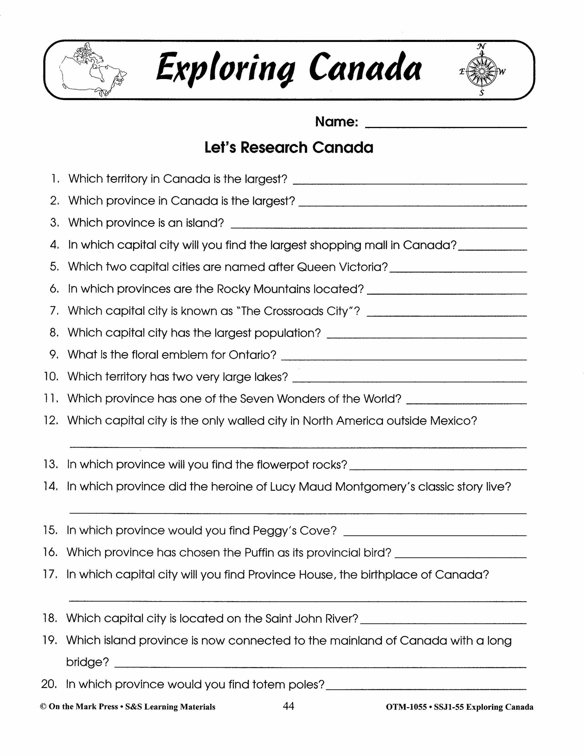
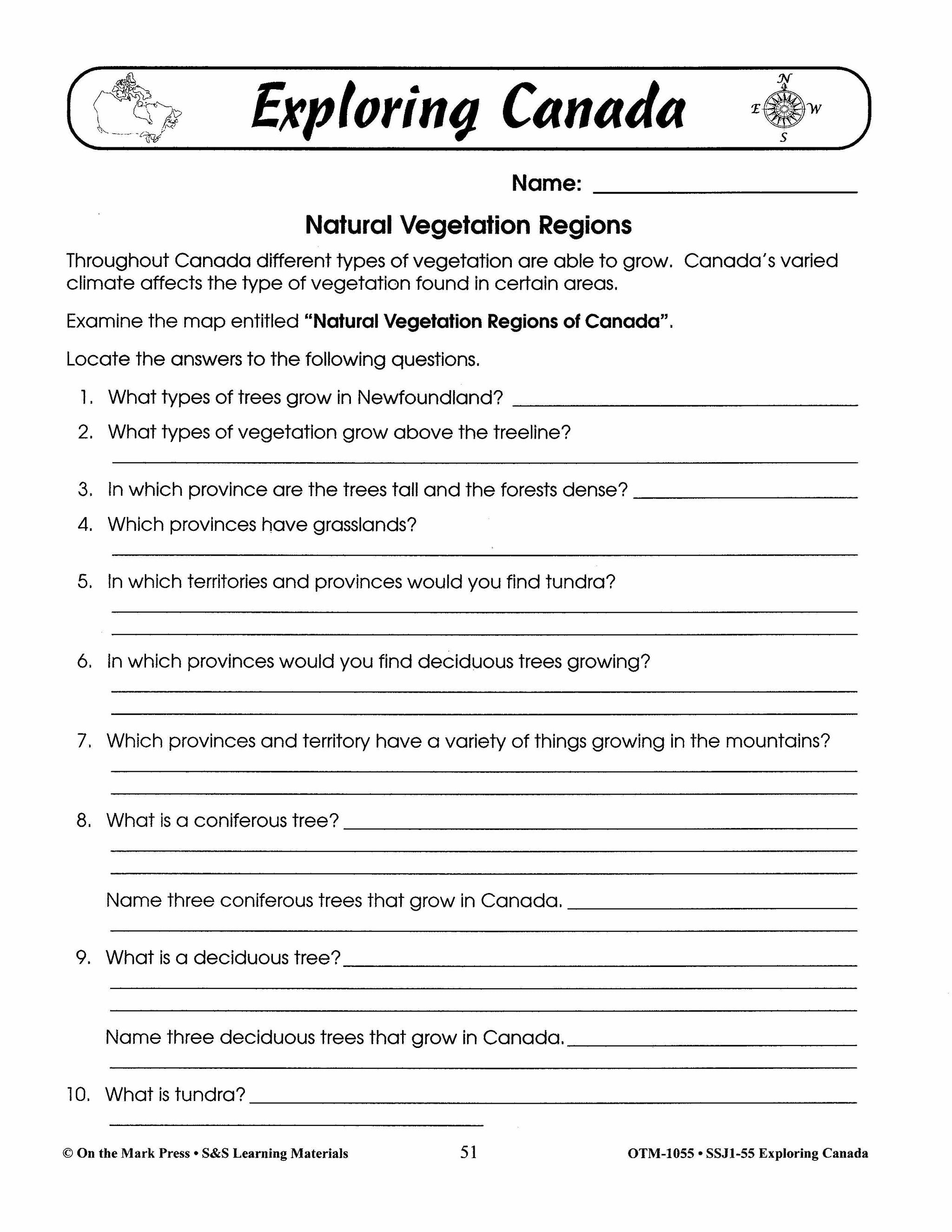
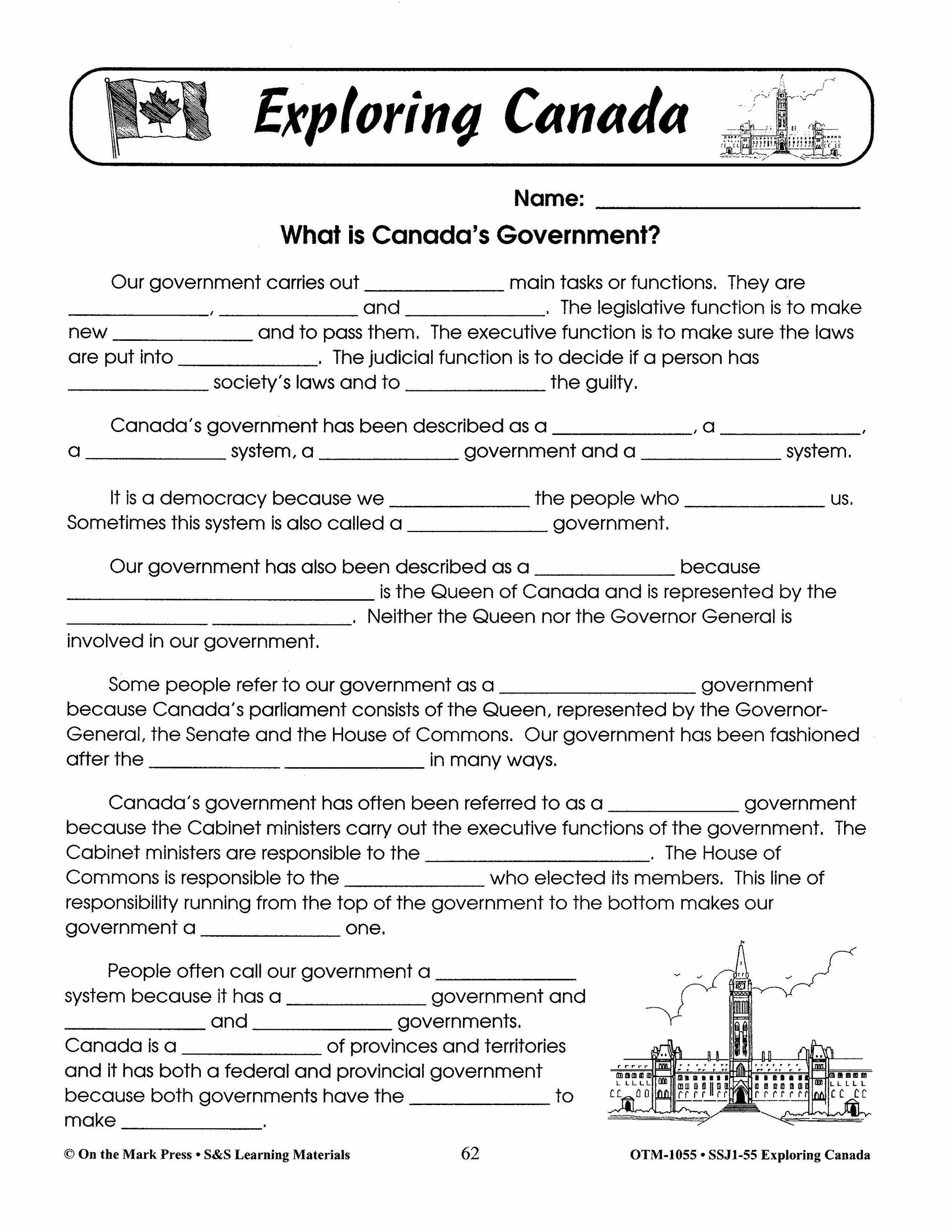
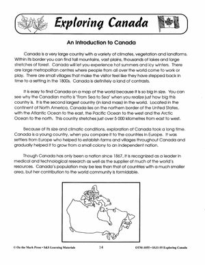
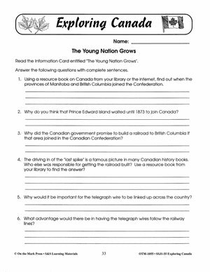
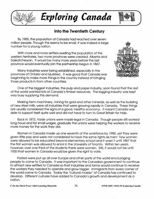
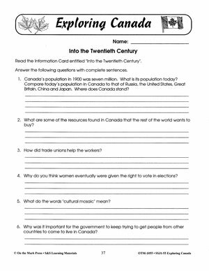
This resource is a compilation of material on Canada for grades 4 to 6 students covering a wide range of topics such as the history and geography of Canada, Canadian government, and famous landmarks, climate, language and cultures, to assist...


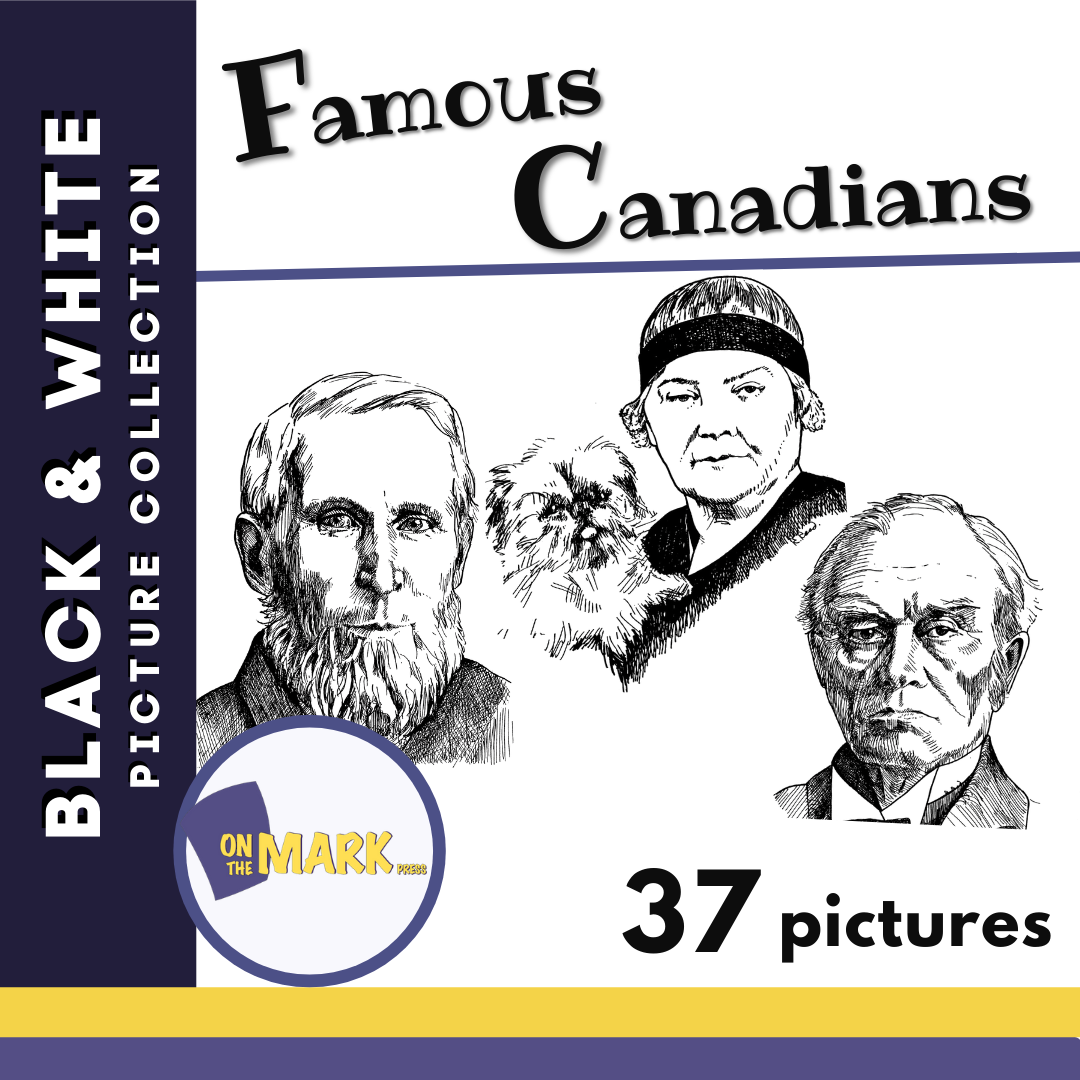
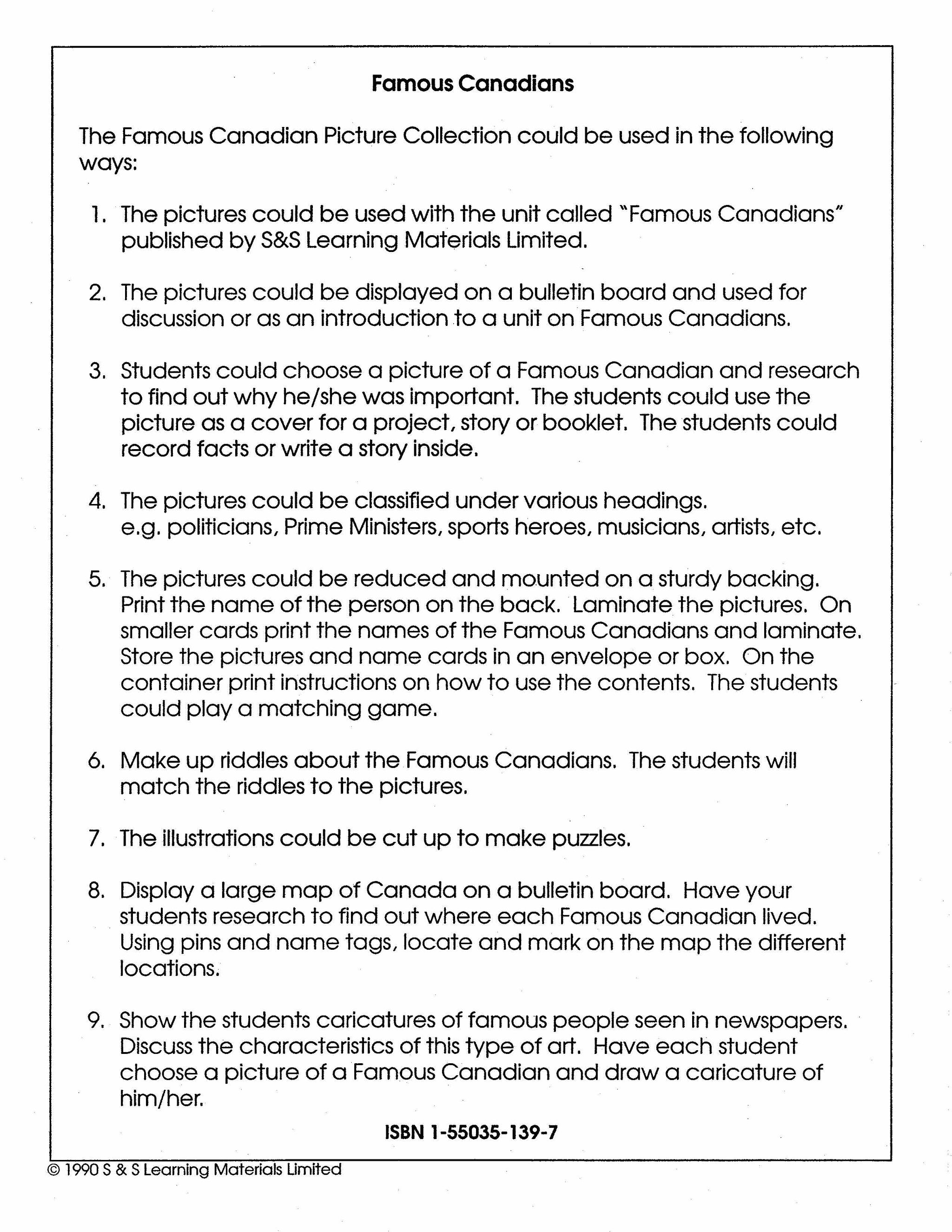


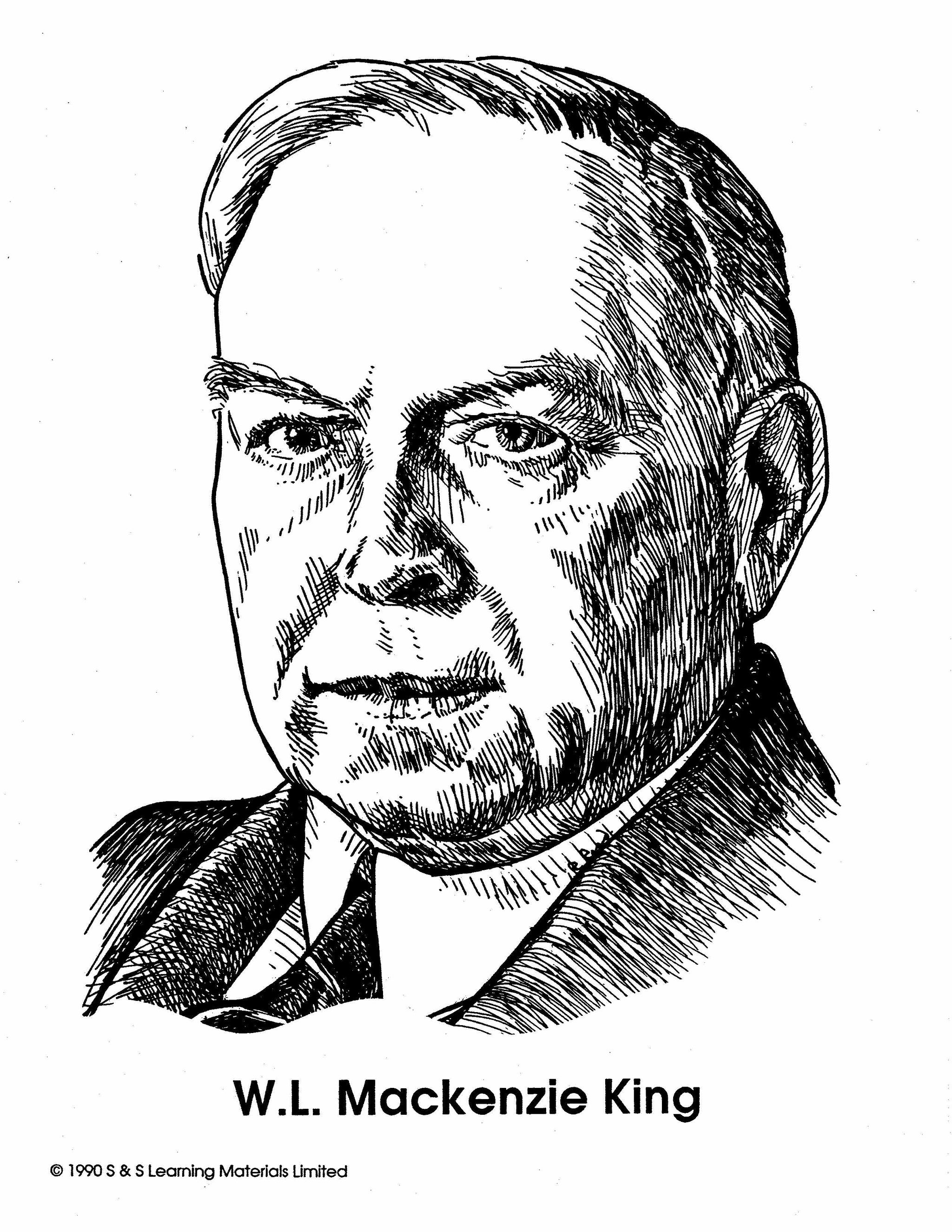
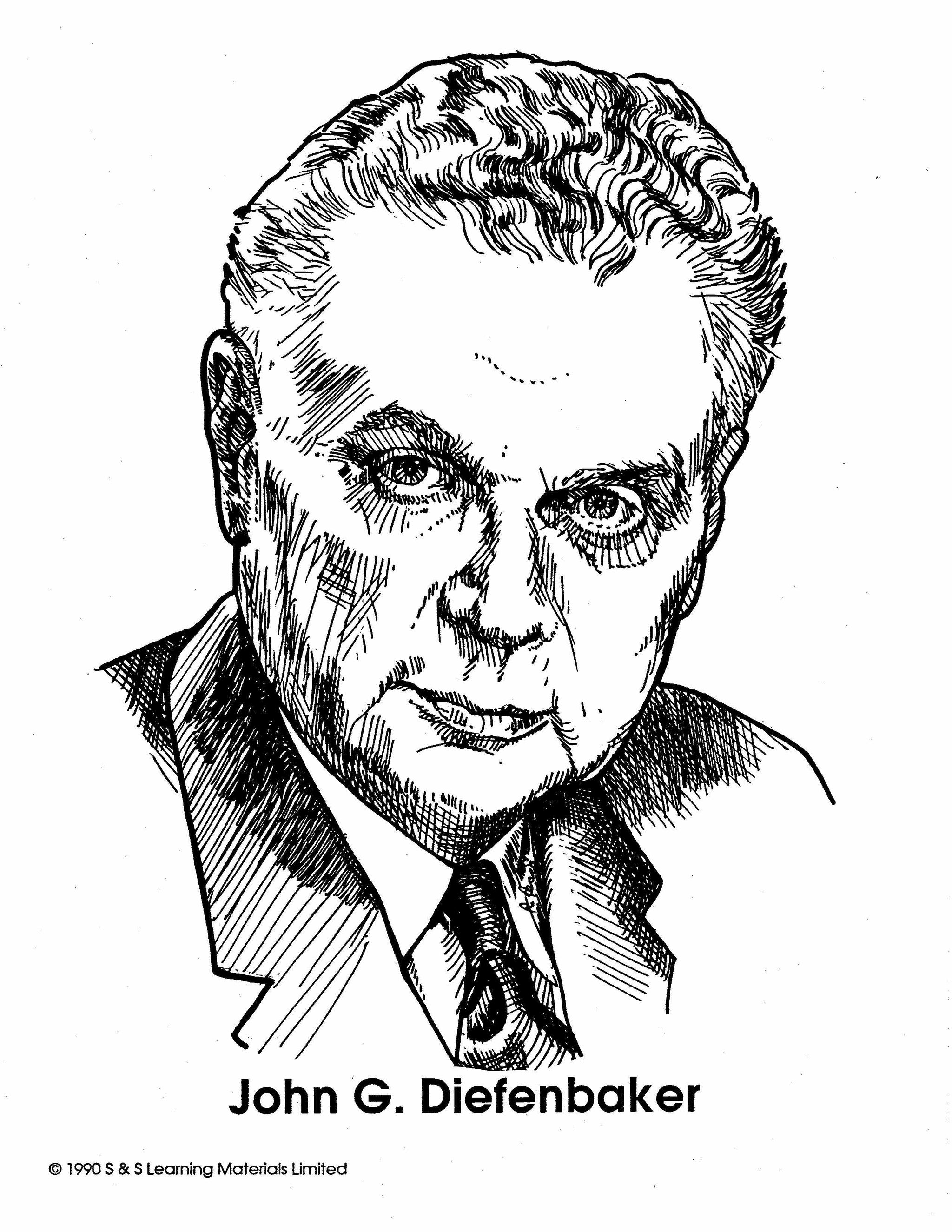

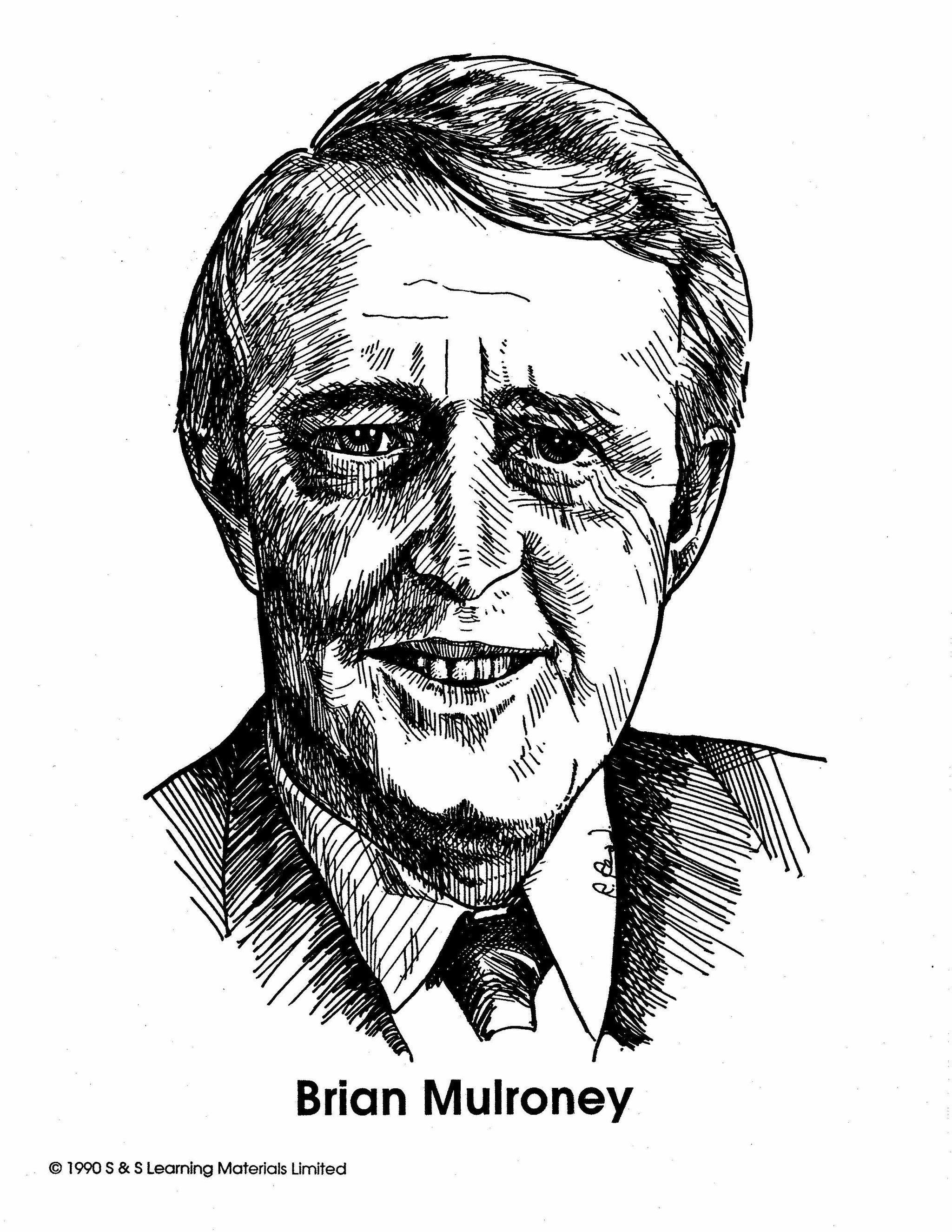
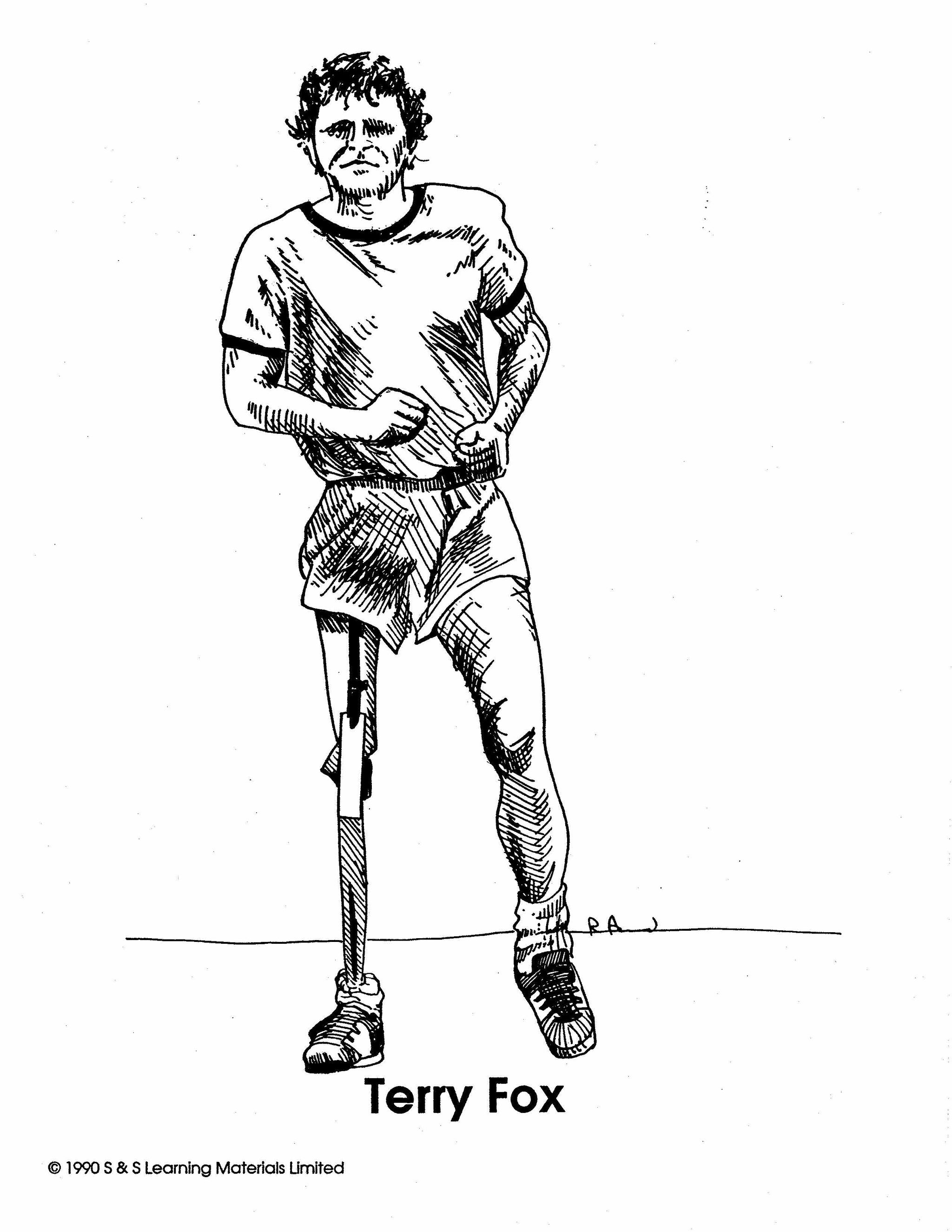
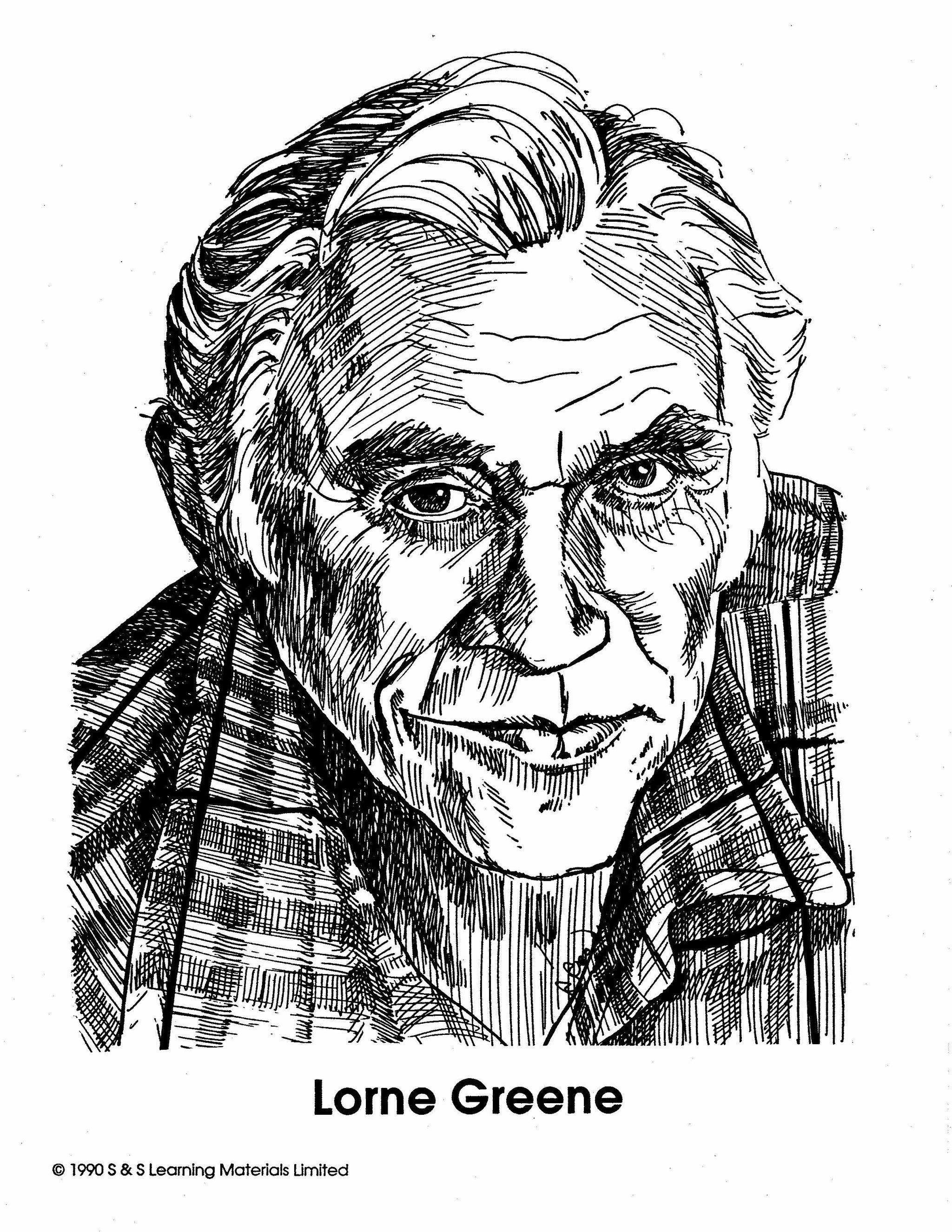

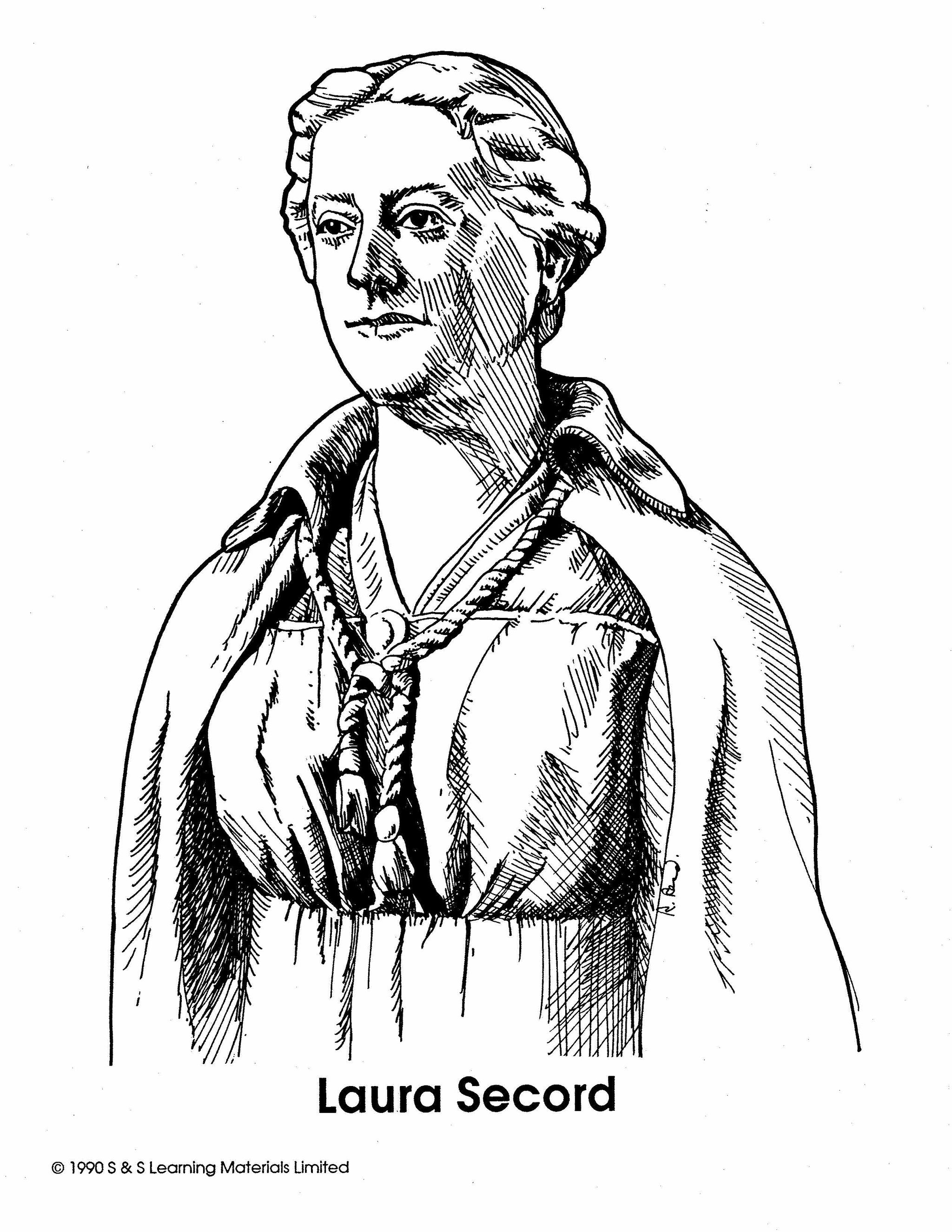
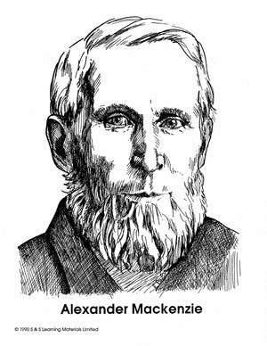
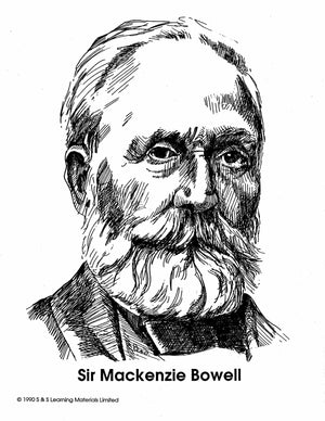
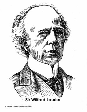

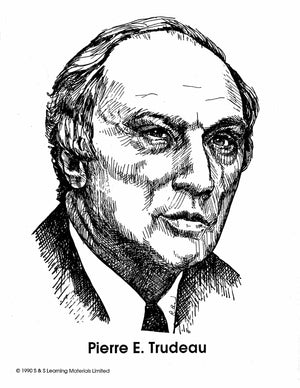


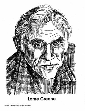
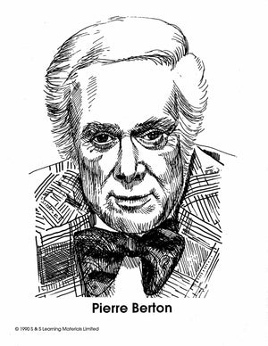

Famous Canadians Black & White Picture Collection Grades 1-8
$13.99 CAD
37 black and white illustrations ranging from Alexander Mackenzie, Emily Carr, Sir John J.C. Abbott, Sir John S.D. Thompson, Sir Mackenzie Bowell, Sir Charles Tupper and Sir Wilfred Laurier plus many more. This collection can be easily integrated into any...


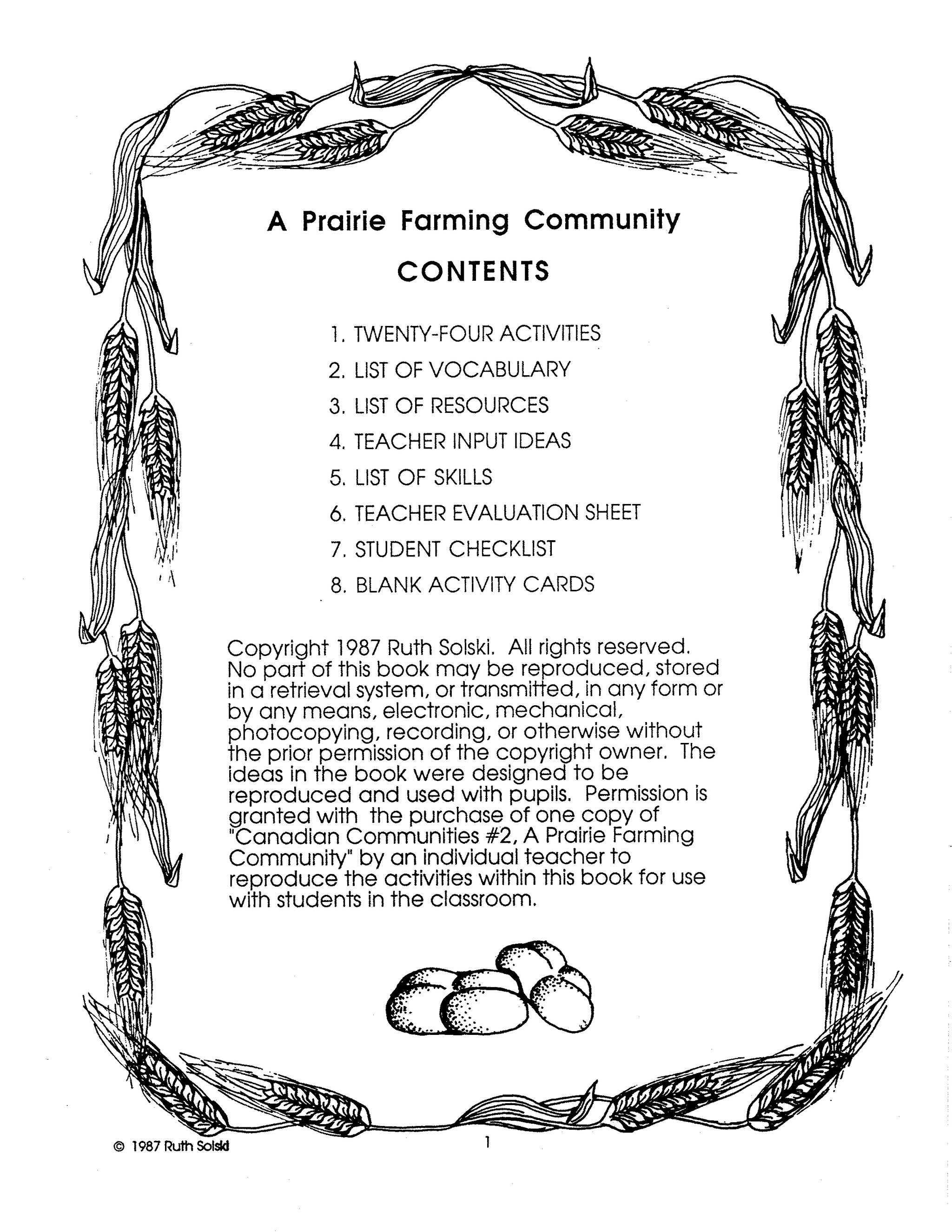
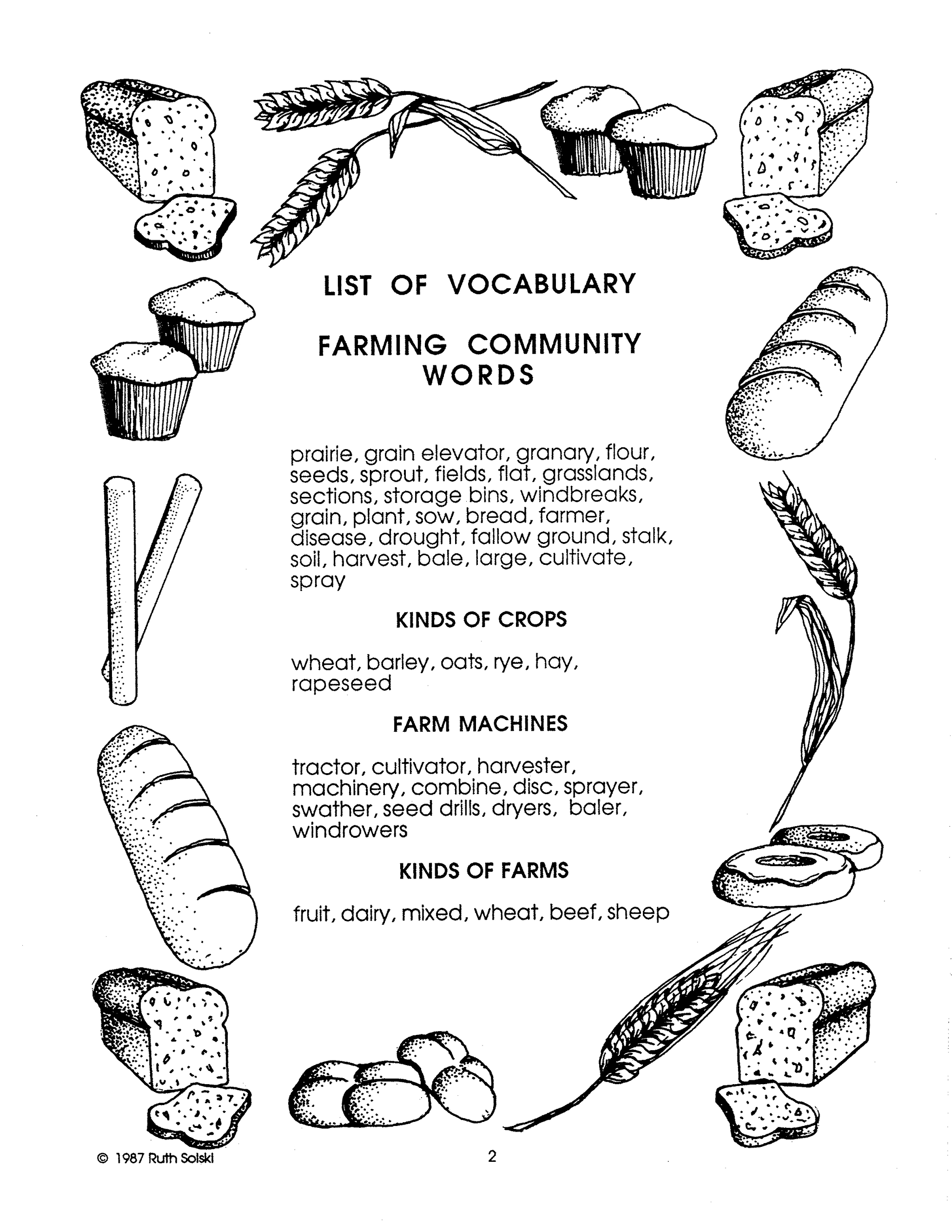
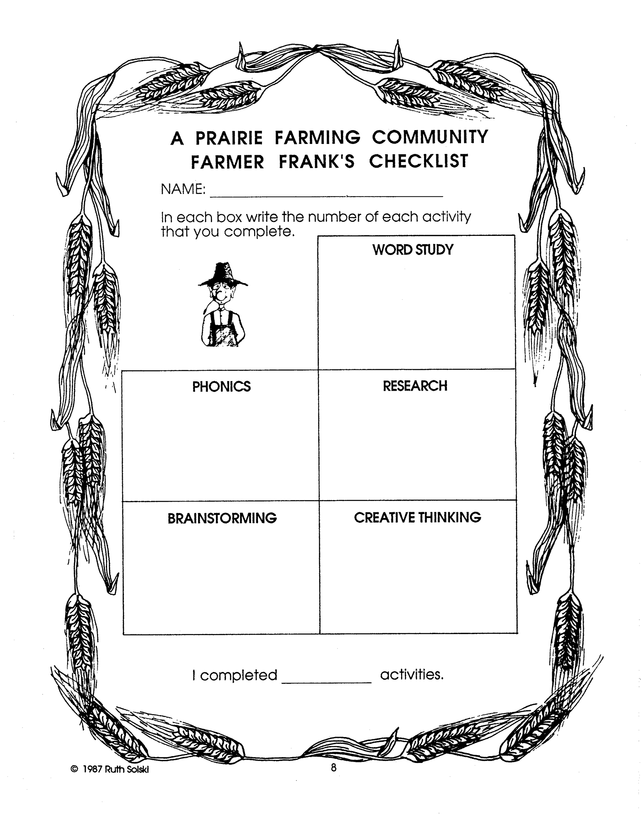
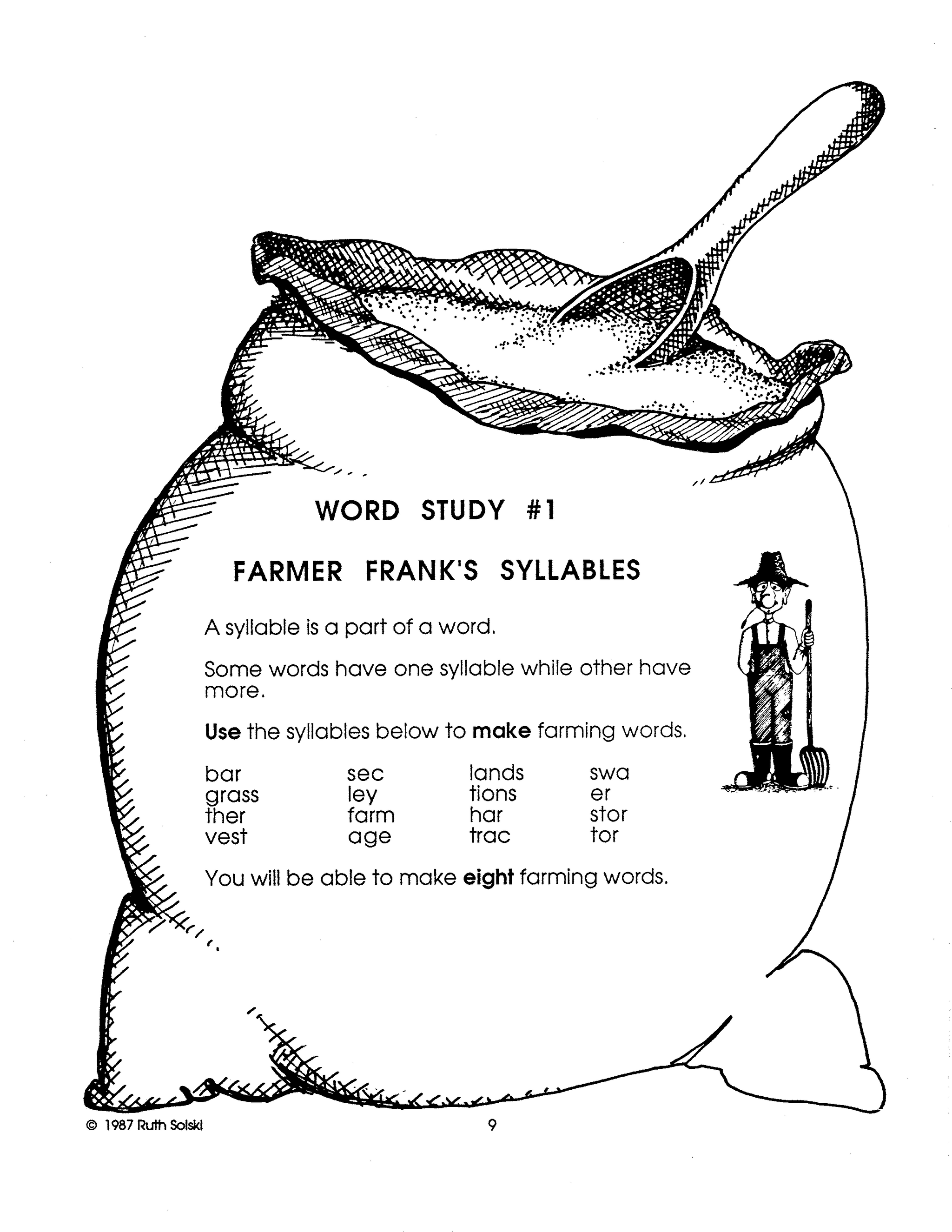
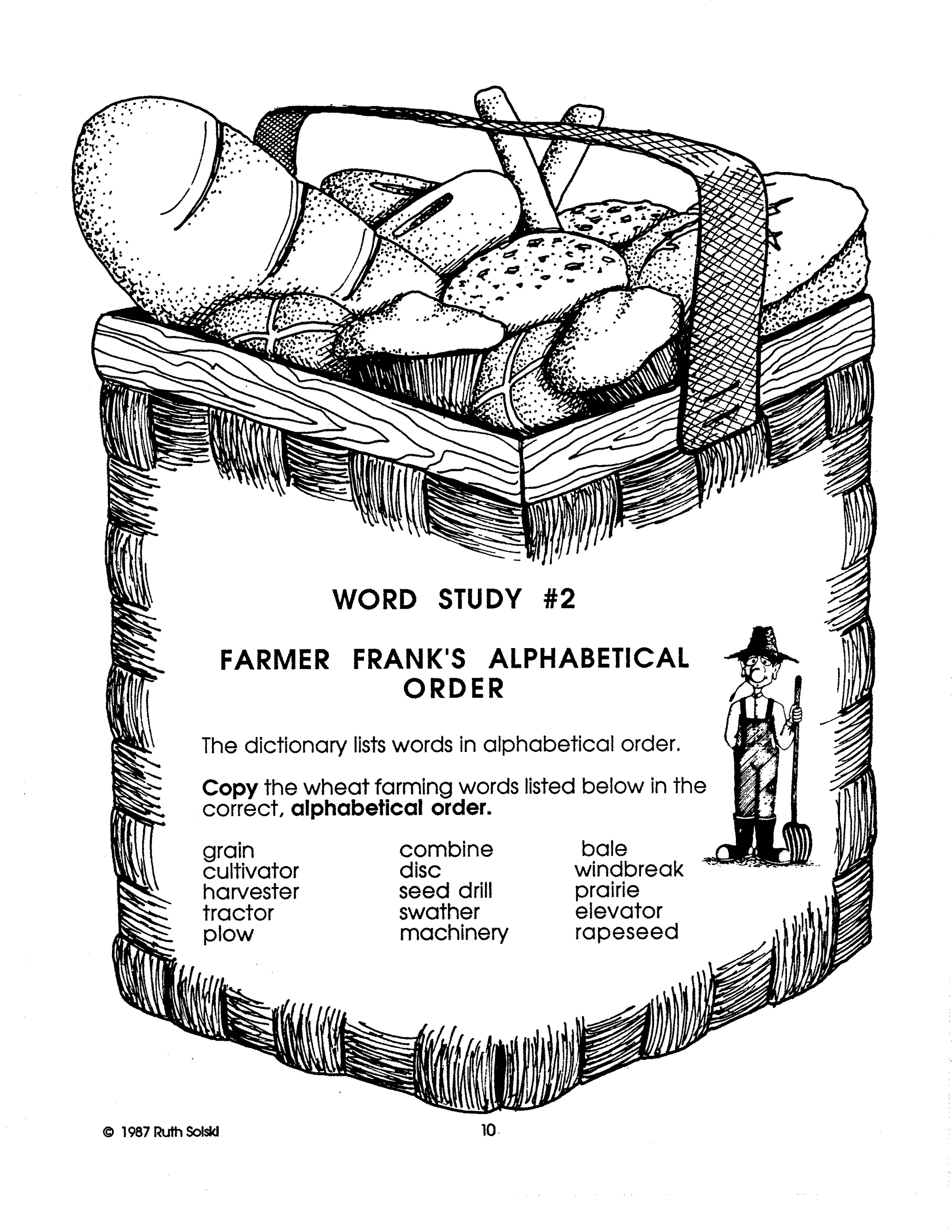
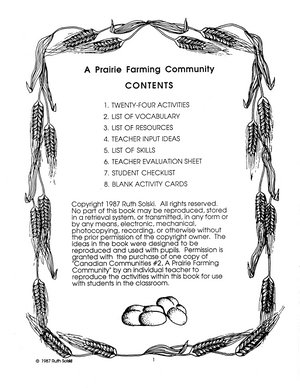
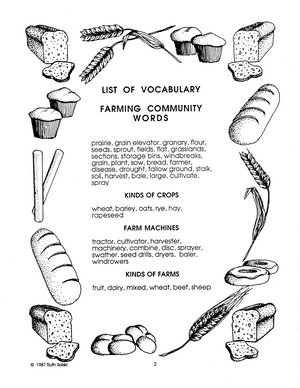
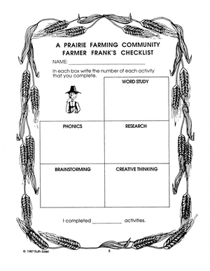
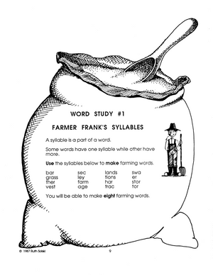
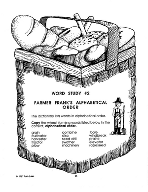
Farming Community Gr. 3-4
$12.99 CAD
Familiarize your students with the farming communities existing in Canadian society today. This volume offers a vivid look at a farming community and its lifestyle. Explore the reasons why this community provides Canada with an essential industry. 24 Activities.


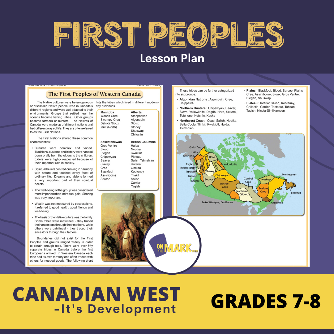
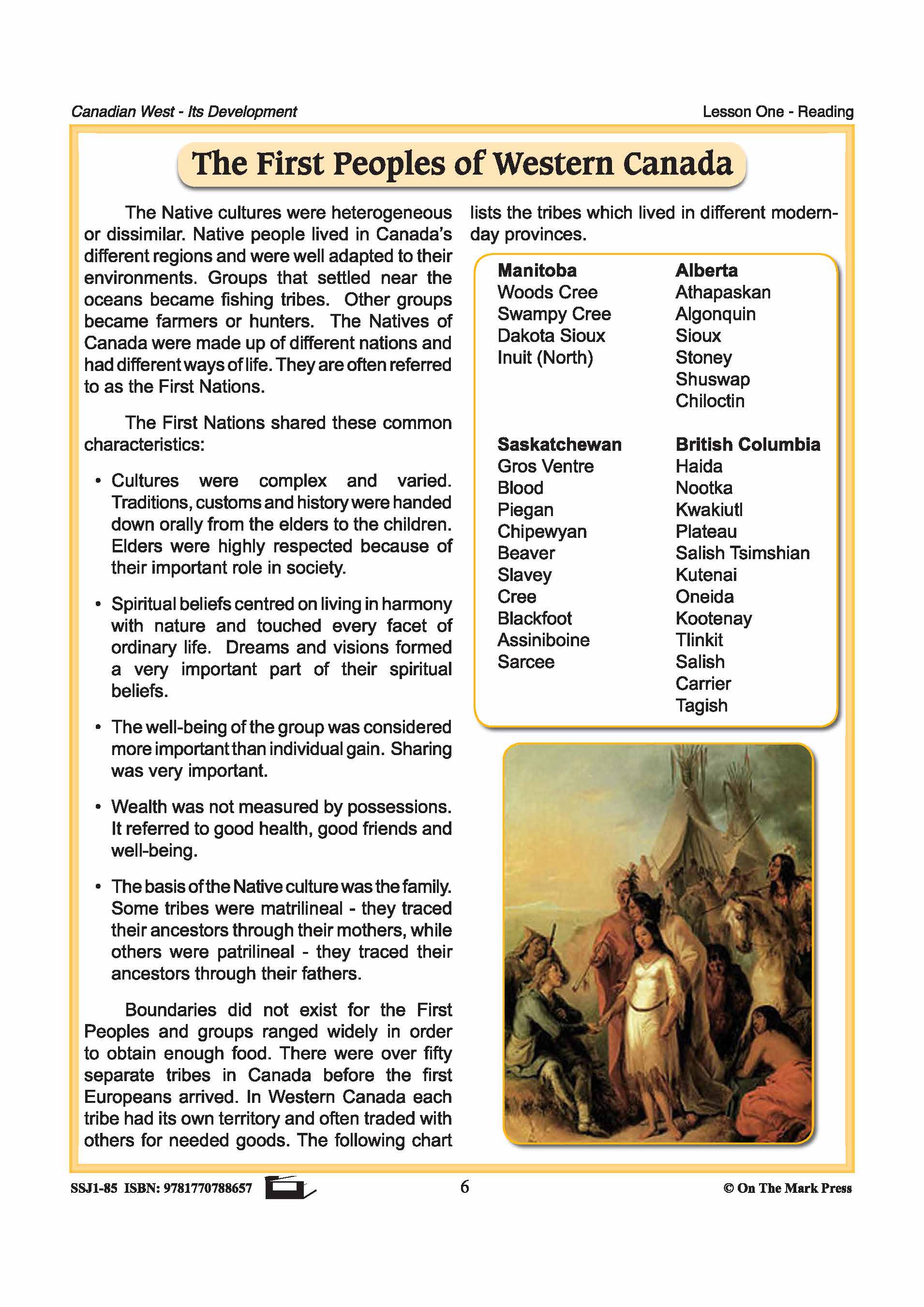


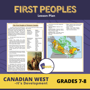
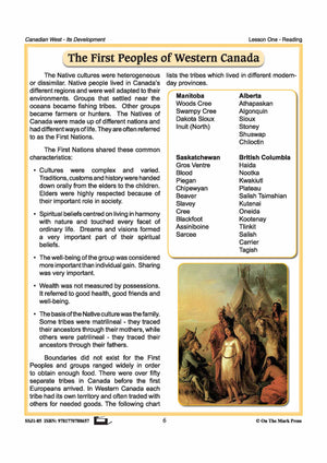
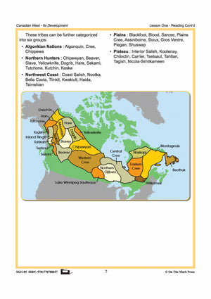
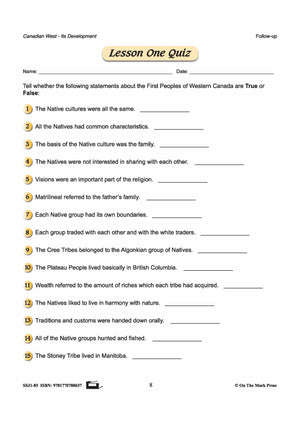
First Peoples Lesson Grades 7-8
$4.45 CAD
Students will have a greater understanding of the Native People of Western Canada - who they are, their lifestyle, and where they lived. Includes a complete lesson plan with discussion questions for the topic, reading passage and follow-up worksheets, and answer...


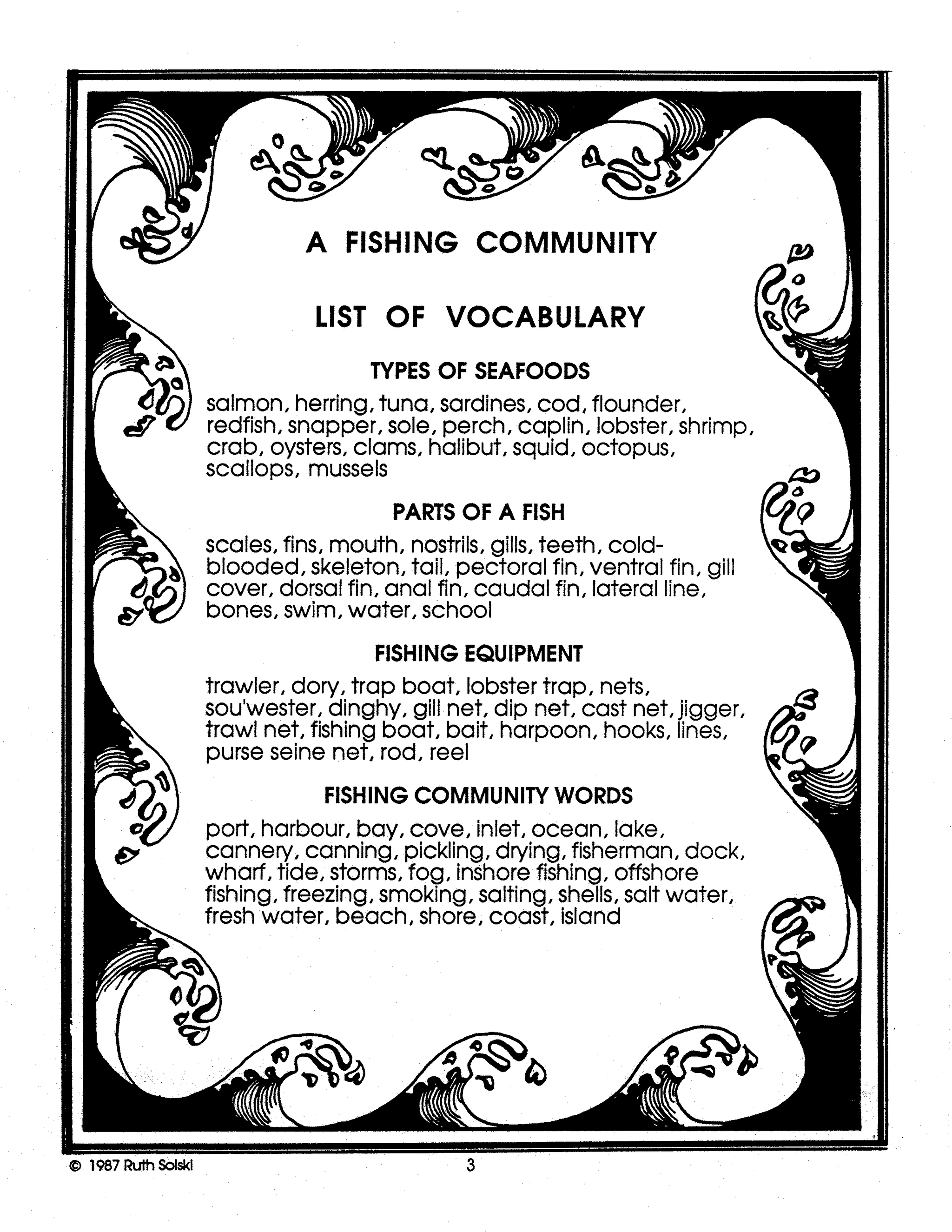


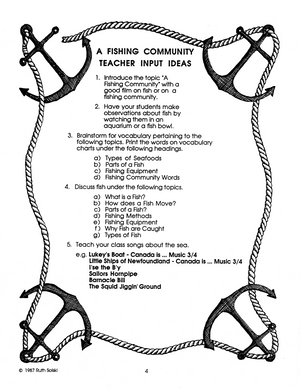
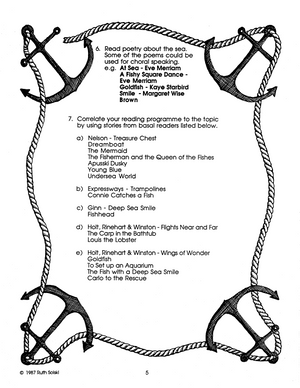
Fishing Community Gr. 3-4
$12.99 CAD
Familiarize your students with the fishing communities existing in Canadian society today. This volume offers a vivid look at this community and its lifestyle. Explore the reasons why this community provides Canada with an essential industry. 23 Activities.


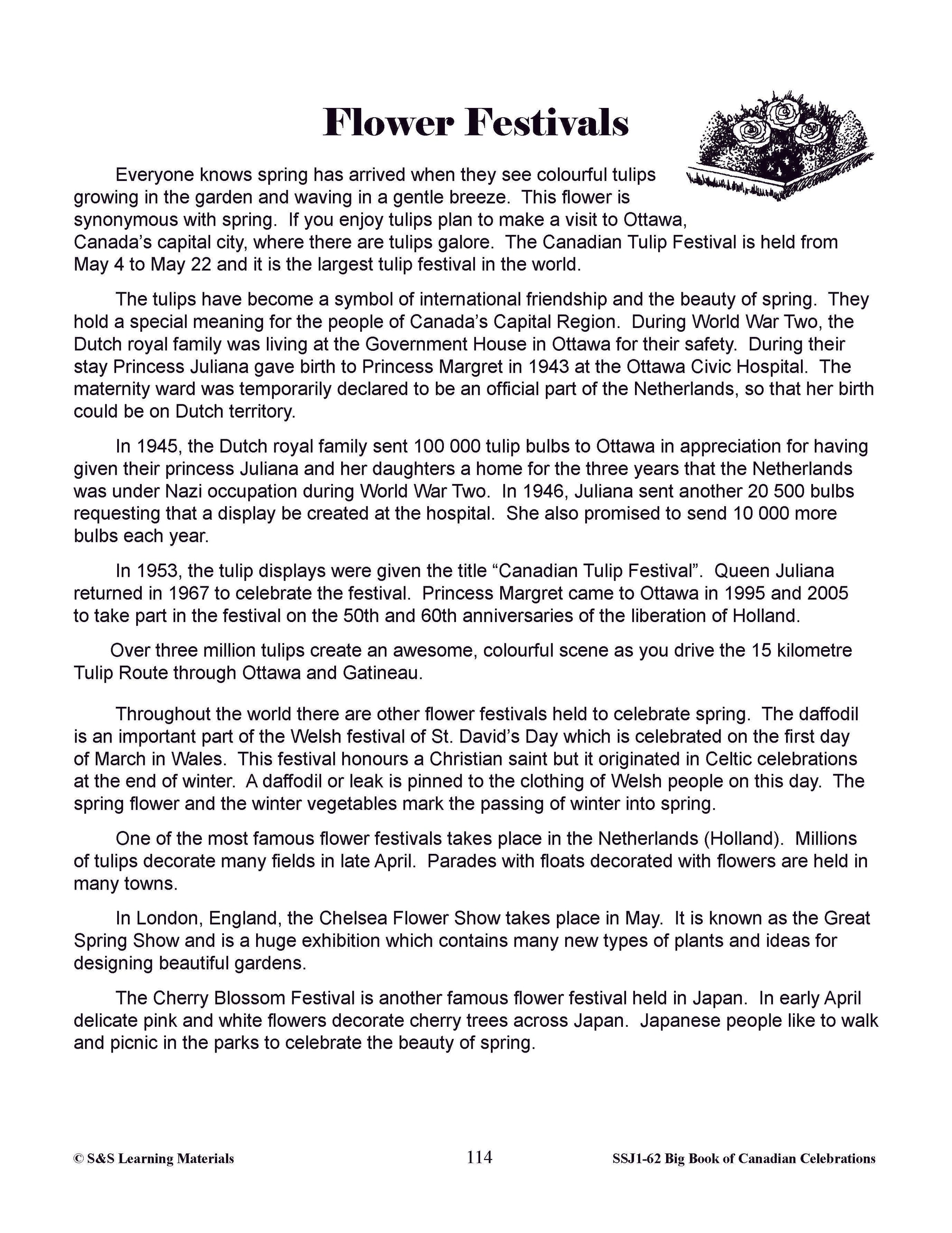

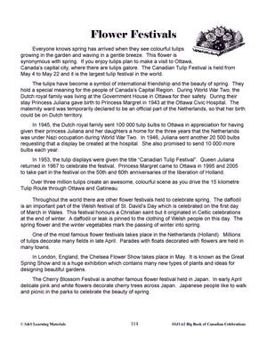
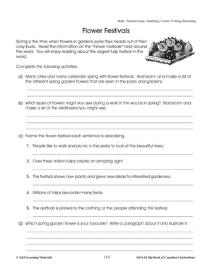
Flower Festivals Lesson Gr. 4-6
$3.45 CAD
Canada has the world's largest Flower Festival, named the Canadian Tulip Festival and it is held in Canada's capital city, Ottawa. This blaze of colour in May was given to Ottawa by a very thankful queen. Your students will find...


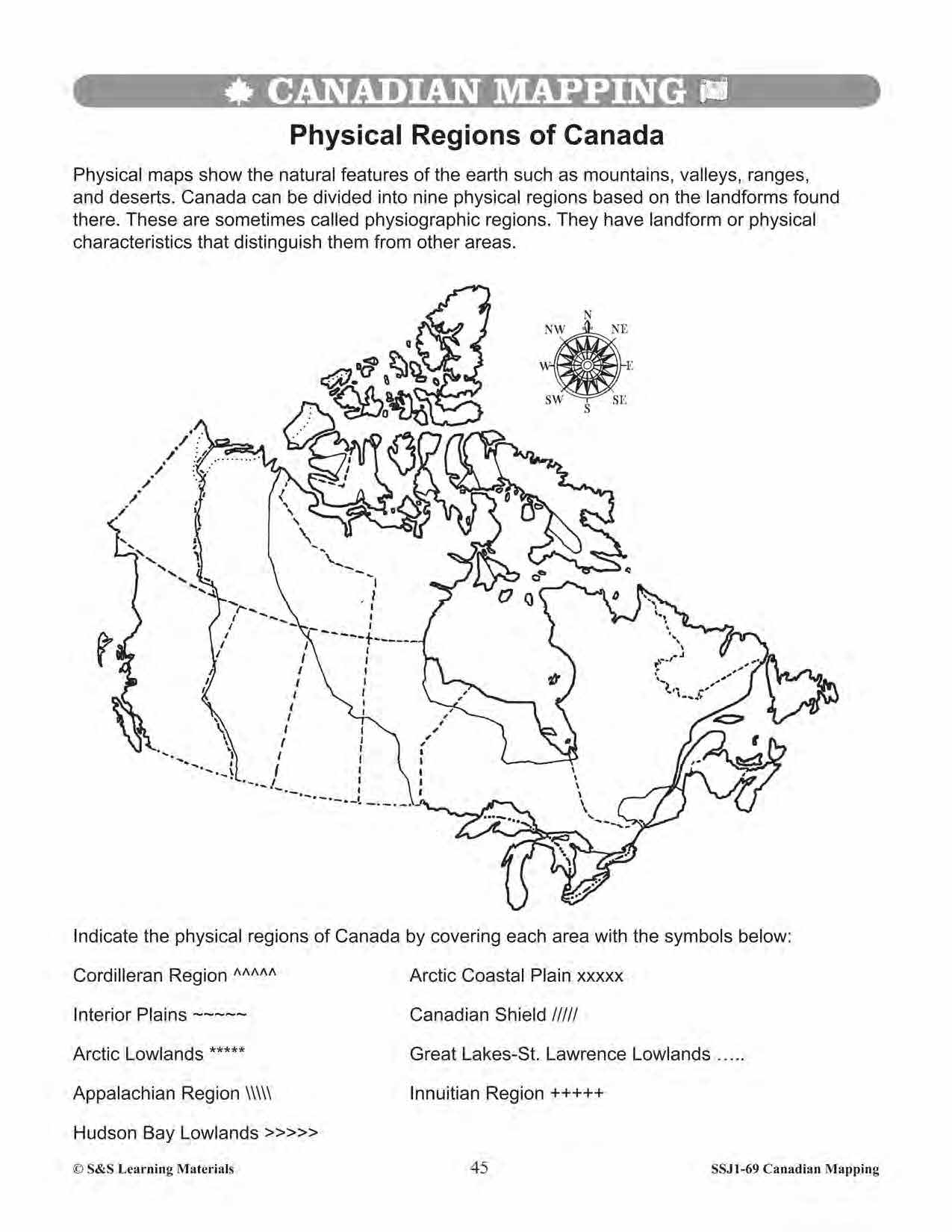
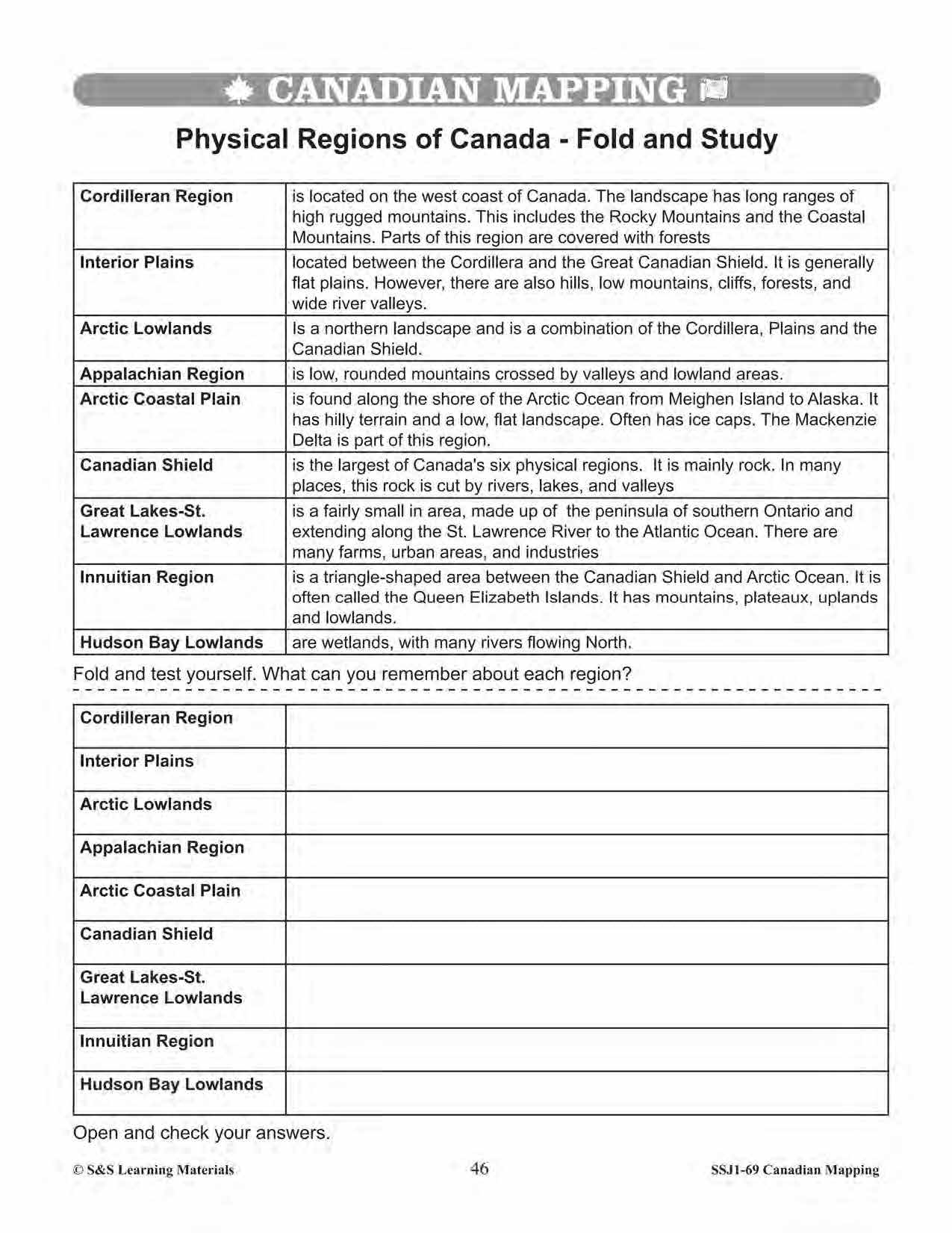
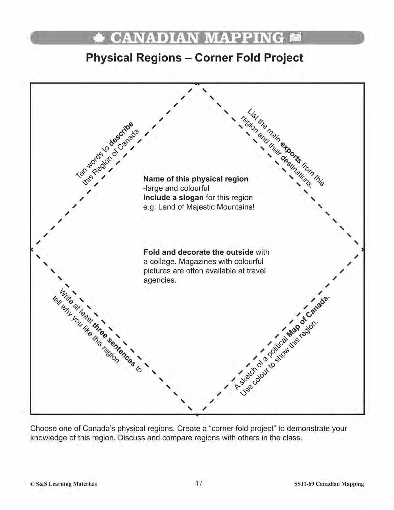
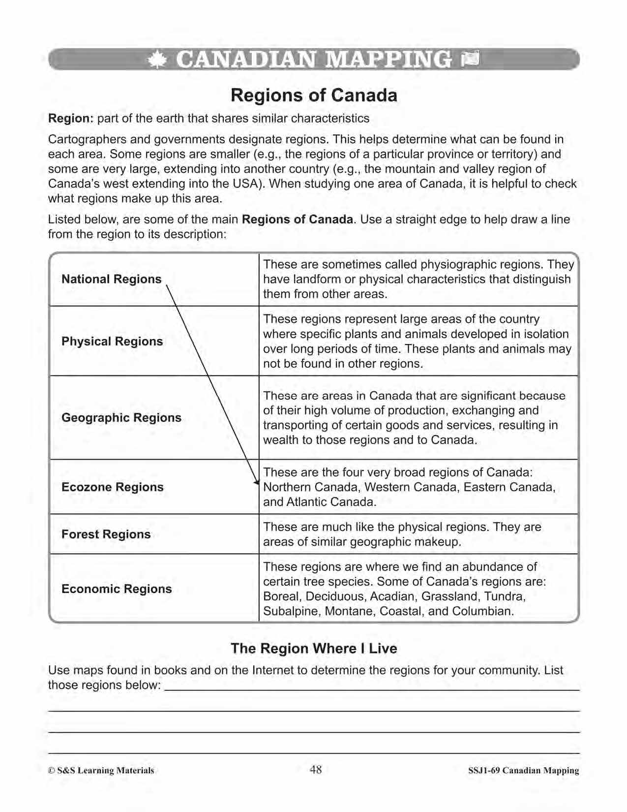


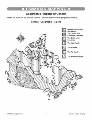
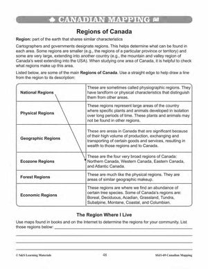


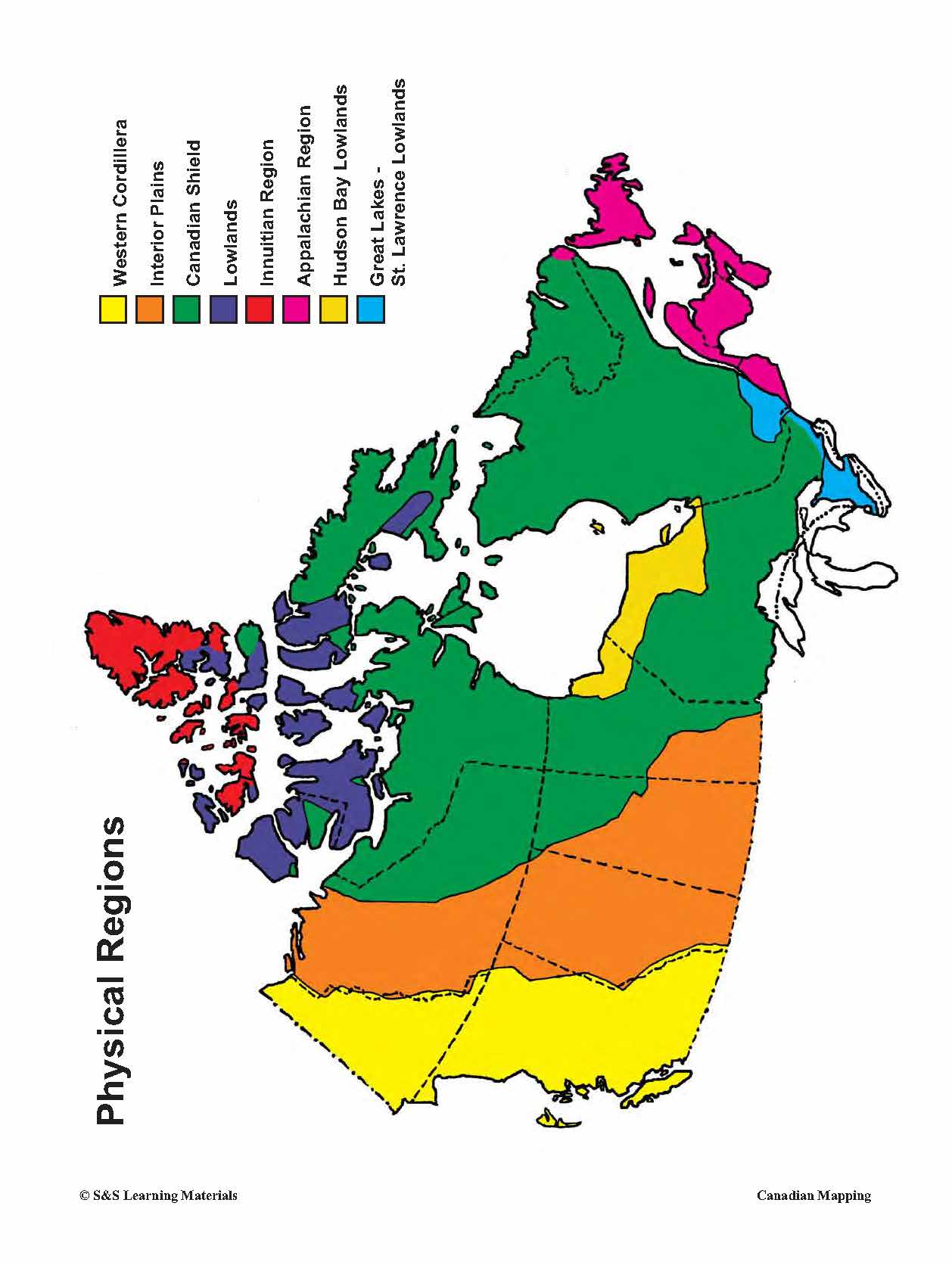
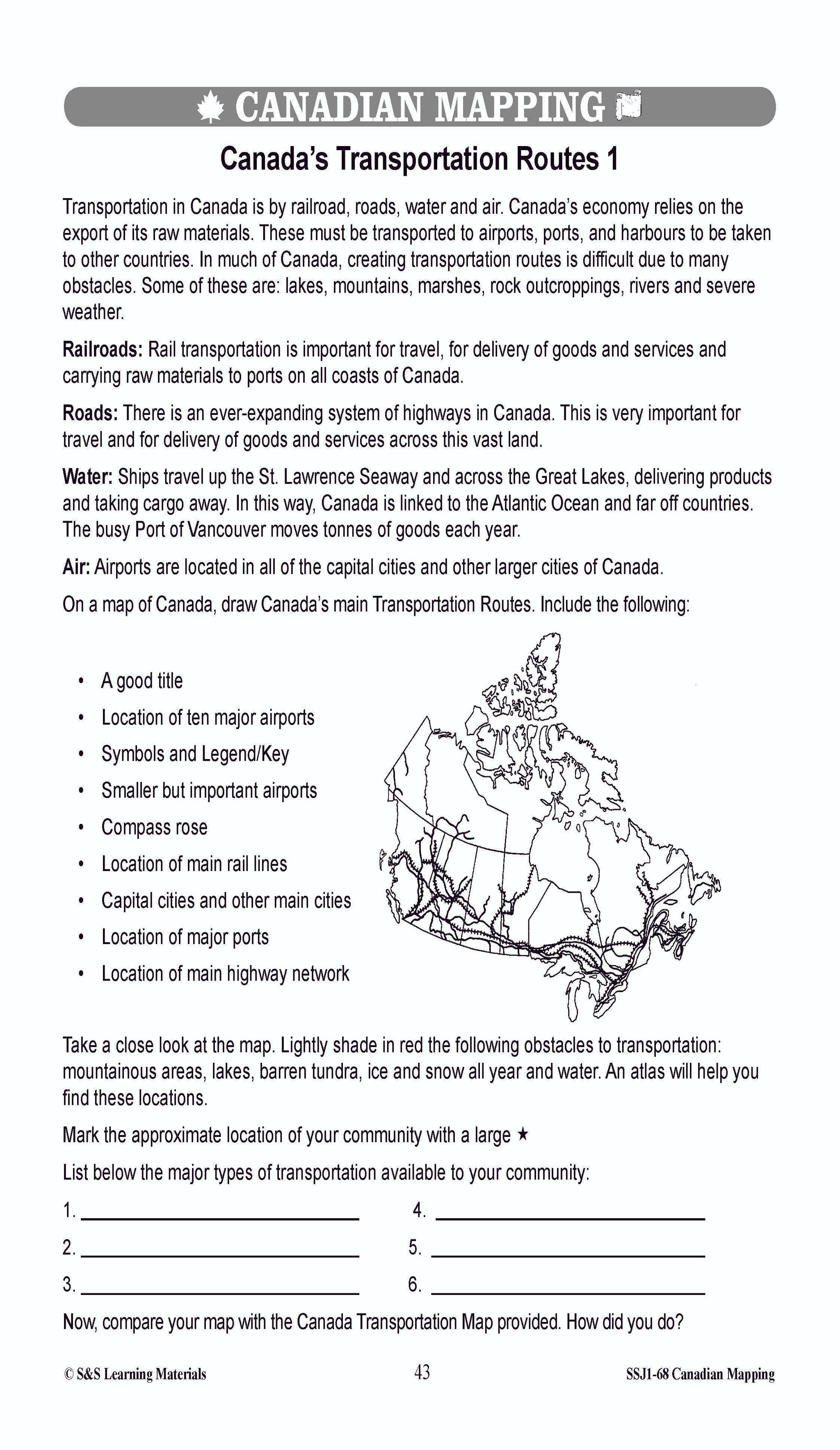
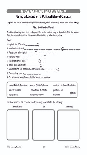
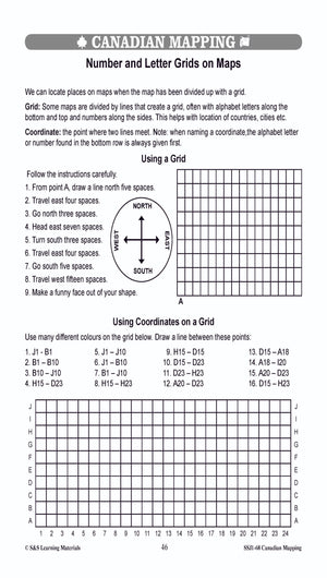
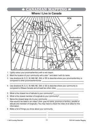
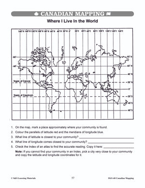
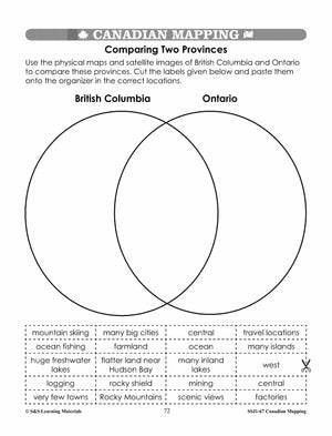
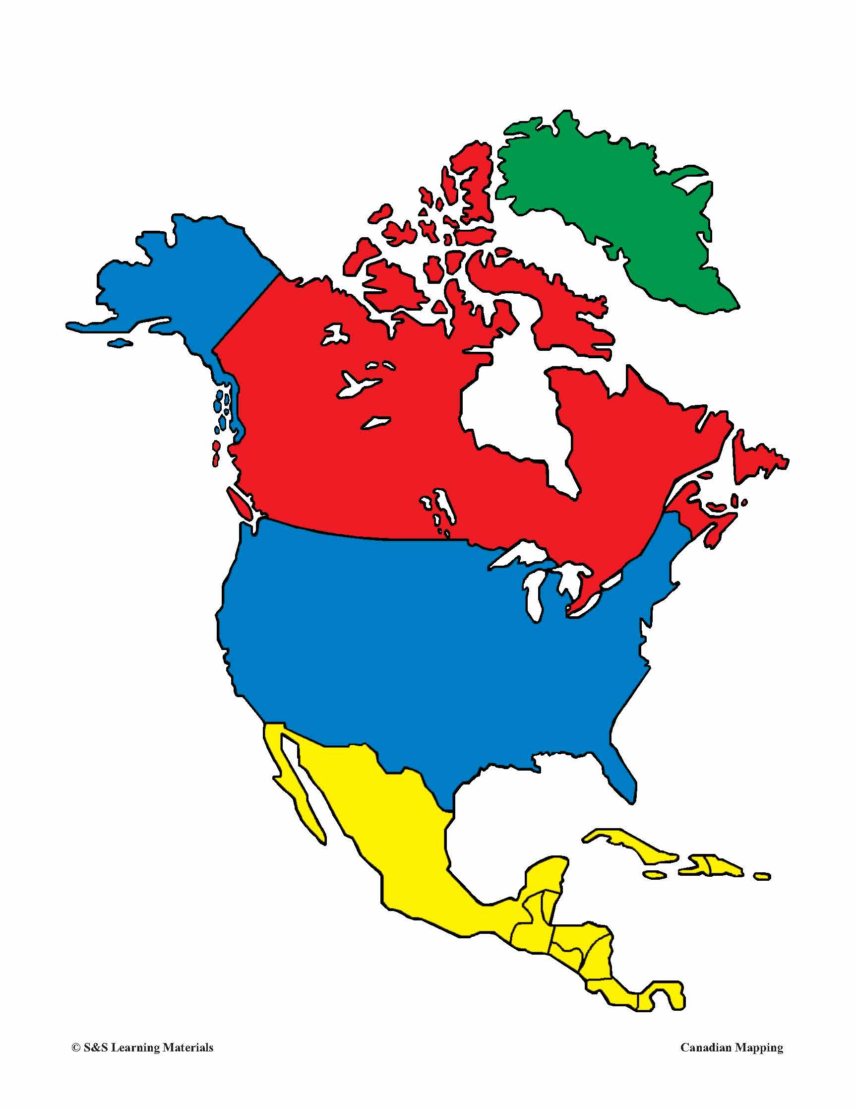
Geographic & Physical Regions in Canada Worksheets Grades 5-6
$7.45 CAD
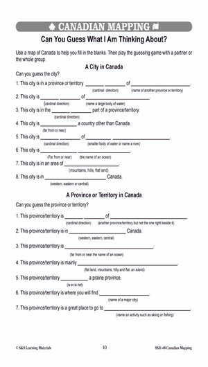
Students will learn about geographic and physical regions in Canada while completing the five worksheets. Teacher information on these topics: what a map is, types of maps, how to read a map, map indexes, scale, and geographic grids, hemispheres, directional...


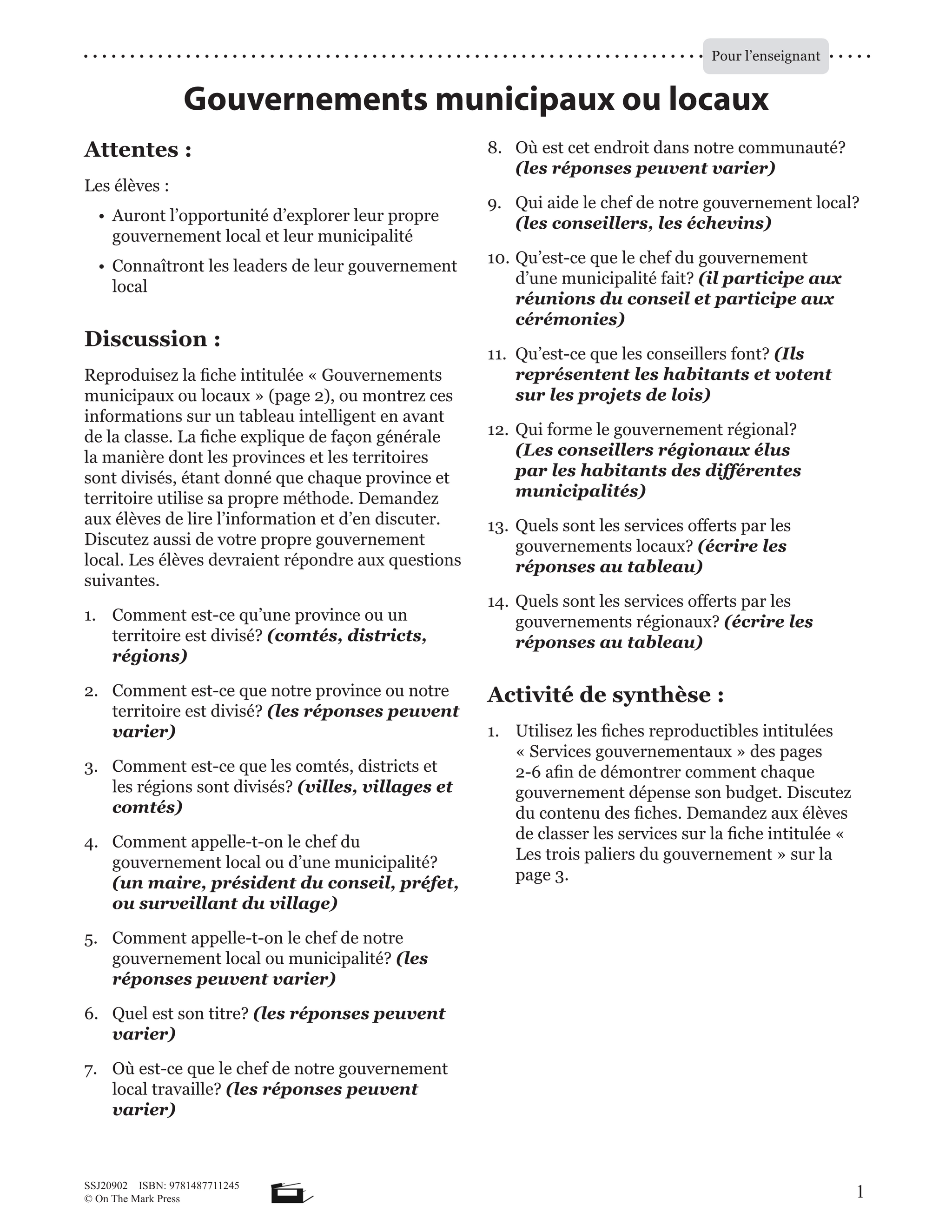

Gouvernements Municipaux Ou Locaux Plan De Cours 4e à 8e année
$6.25 CAD
Les élevés explorent leur gouvernement local et leur municipalité, et ils seront exposés aux différents chefs du gouvernement local. Other French Titles you may like Follow us on: Facebook Instagram


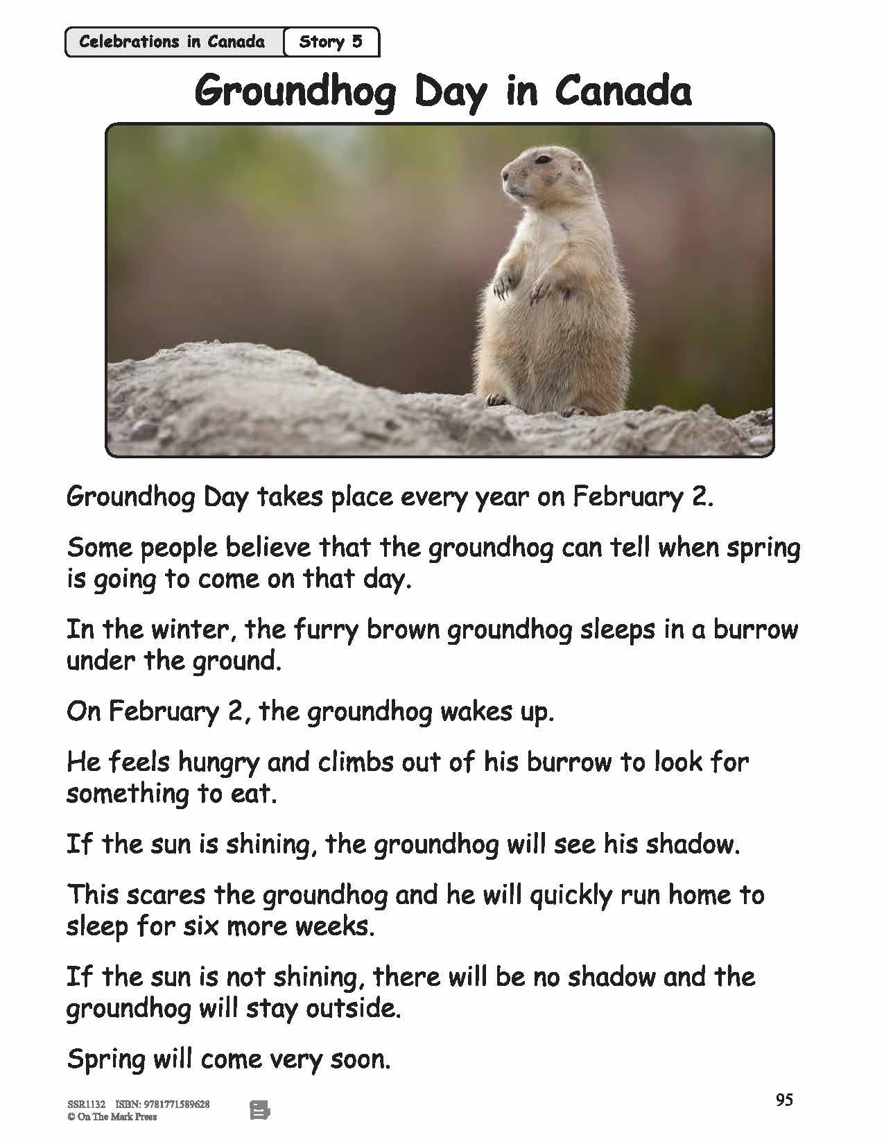


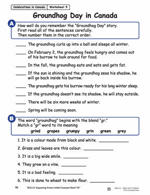
Groundhog Day in Canada Reading Lesson Grades 1-2
$2.95 CAD
Students will read and learn about Groundhog Day in Canada. Each topic contains an information story and a follow-up exercise designed to review and develop strong phonetic skills. Skills practiced: Sequence Order/Blend "Gr". The vocabulary list may need to be presented...
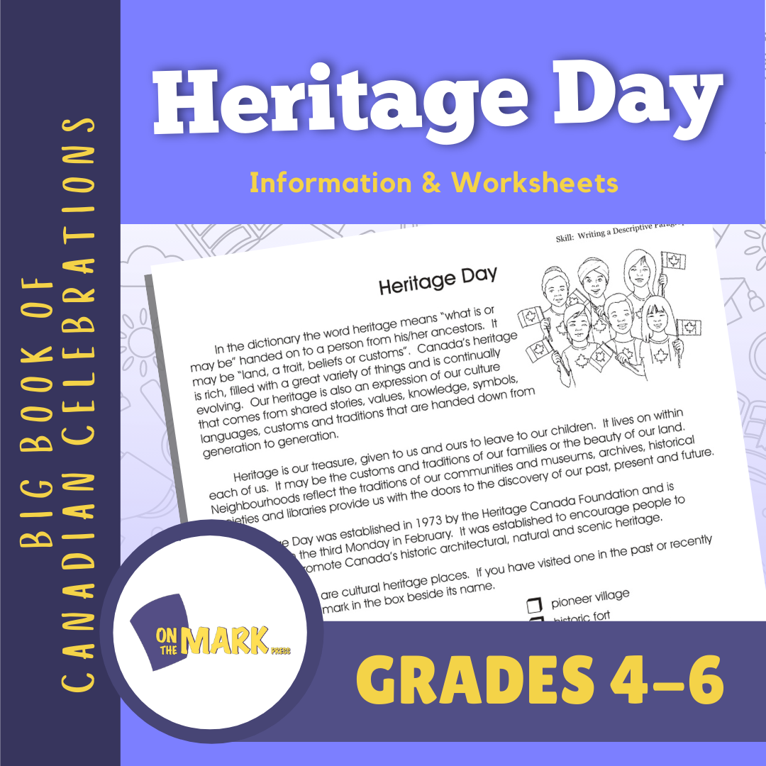


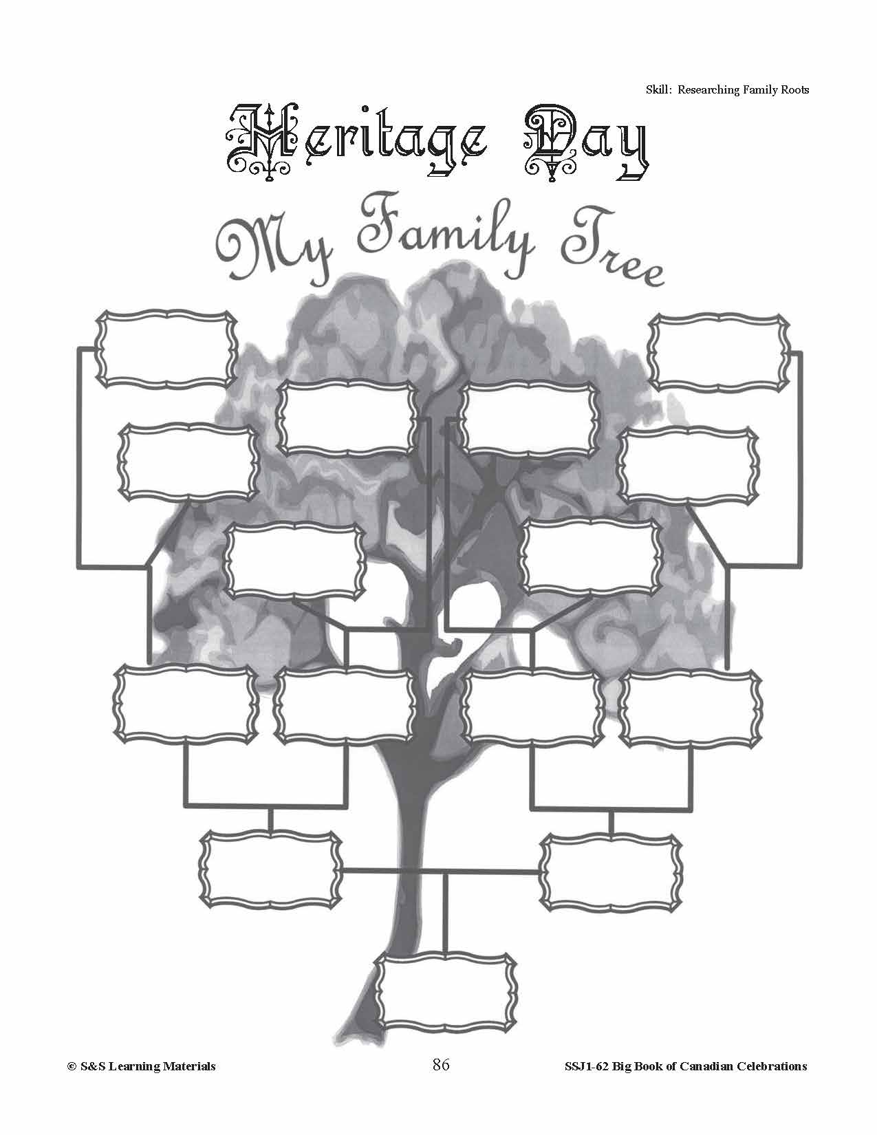
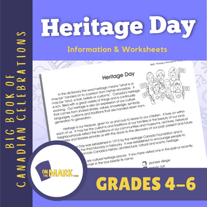

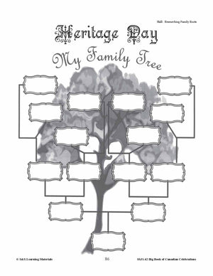
Heritage Day Gr. 4-6 Information and Worksheets
$3.45 CAD
Heritage Day is celebrated on the third Monday in February. This day was established as a day in which we can appreciate our cultures, customs, and traditions. Discuss places where students can visit to find out about their heritage; why...
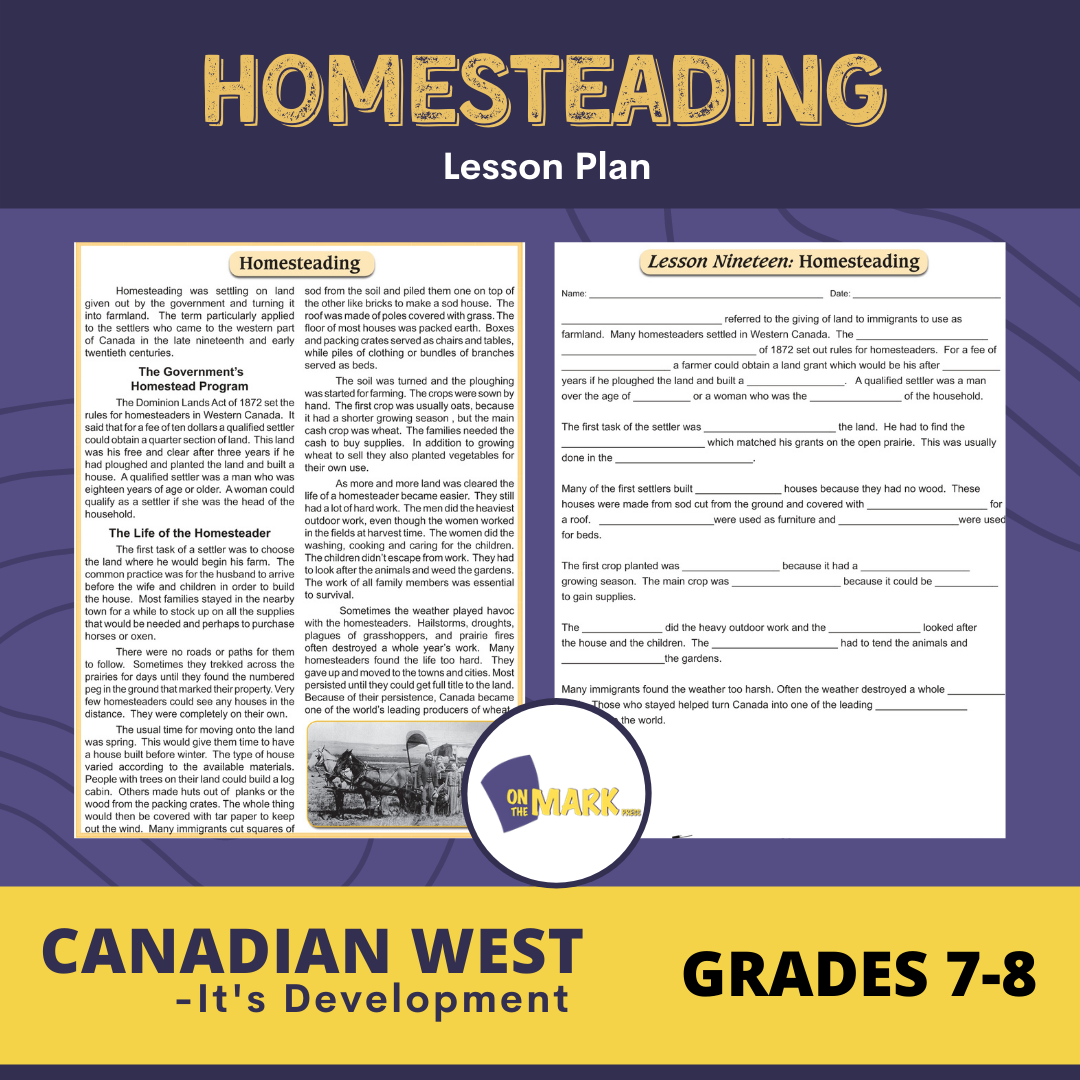


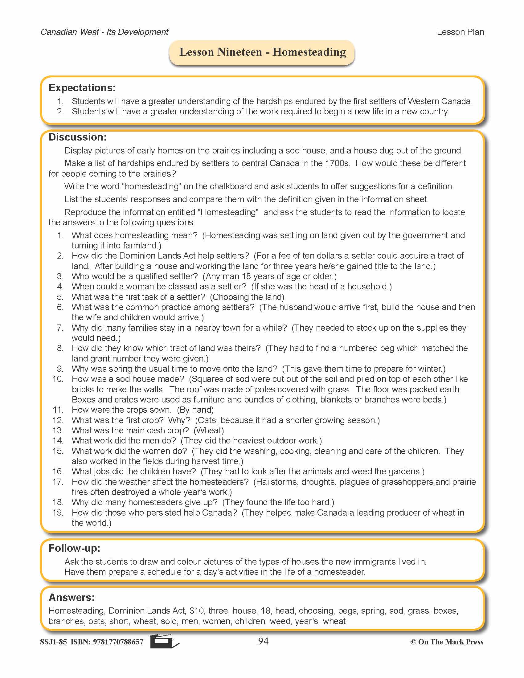


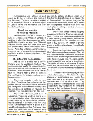
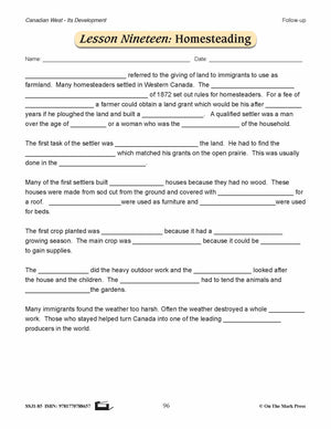
Homesteading Lesson Grades 7-8
$3.95 CAD
Students will have a greater understanding of the hardships endured by the first settlers of Western Canada. Students will have a greater understanding of the work required to begin a new life in a new country. Includes a complete lesson plan...

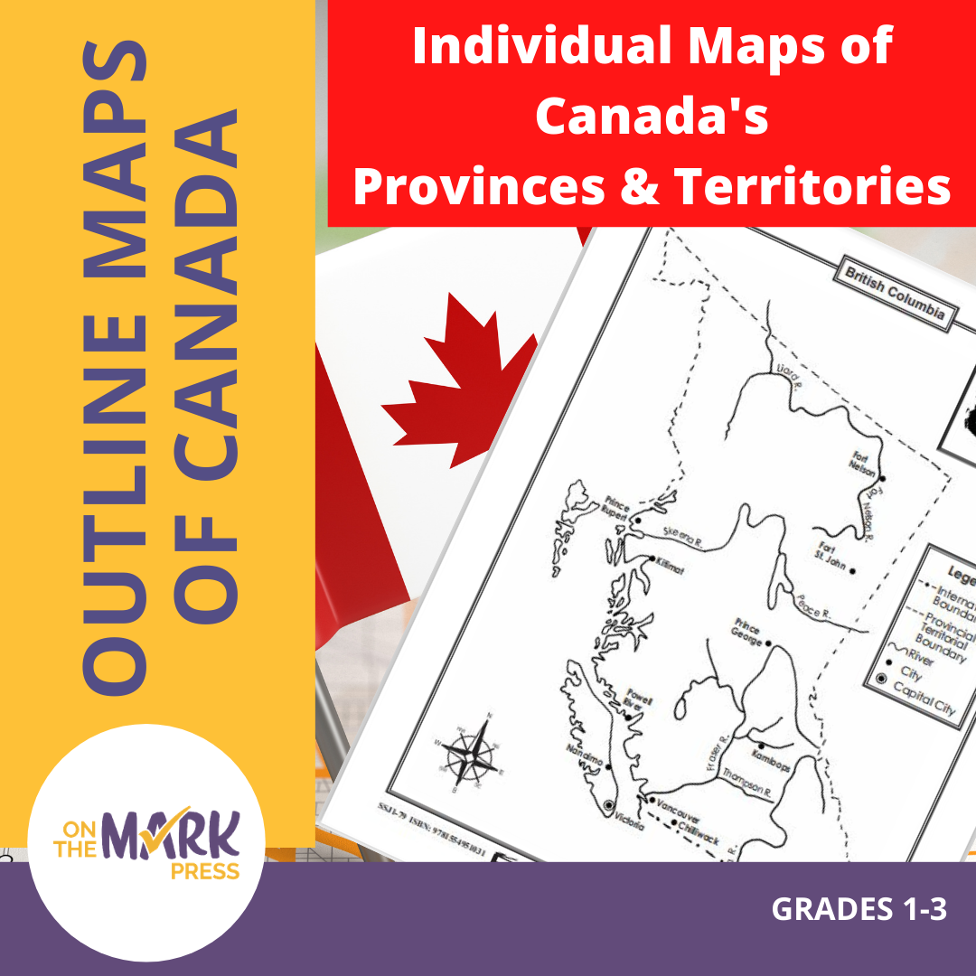


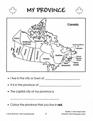
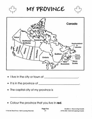
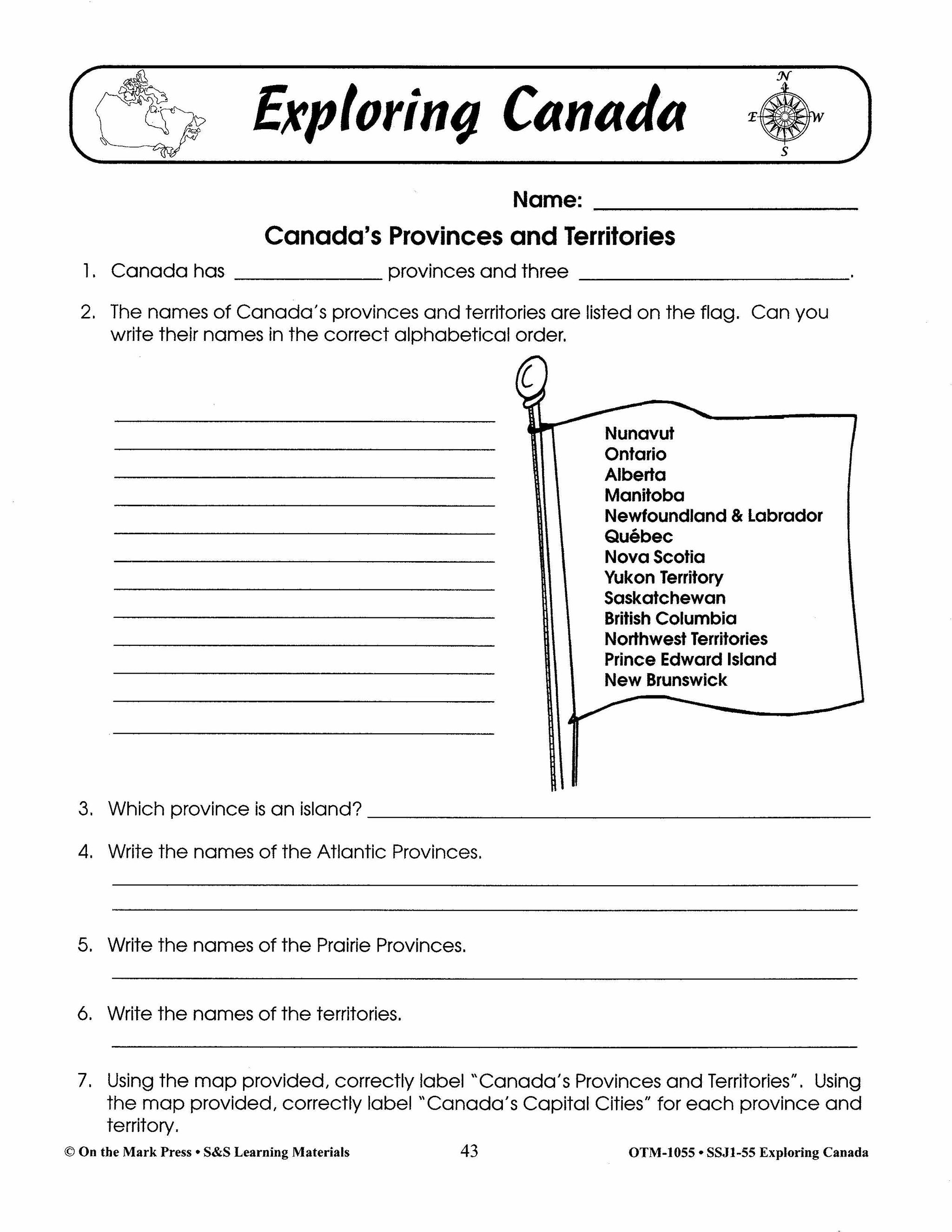
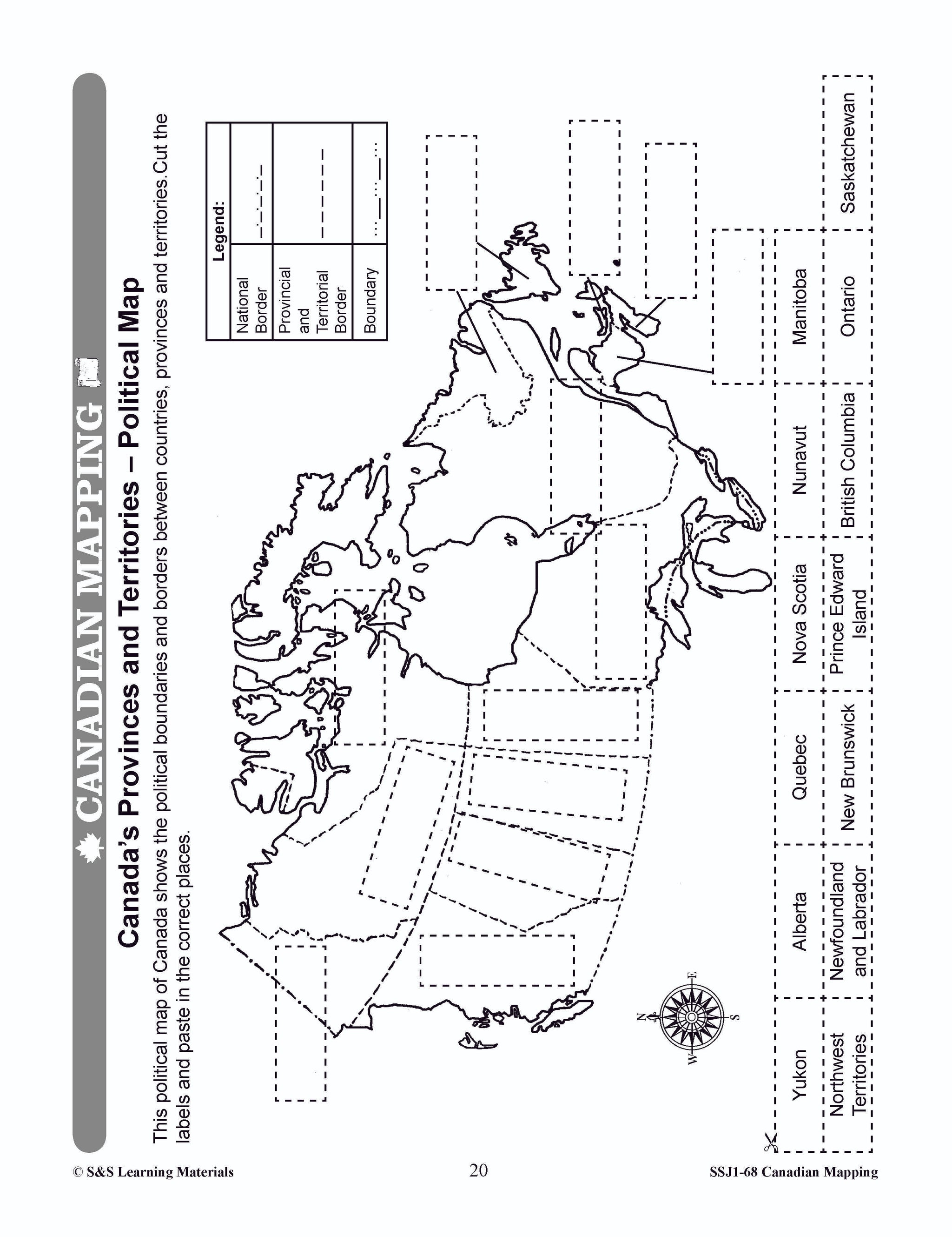
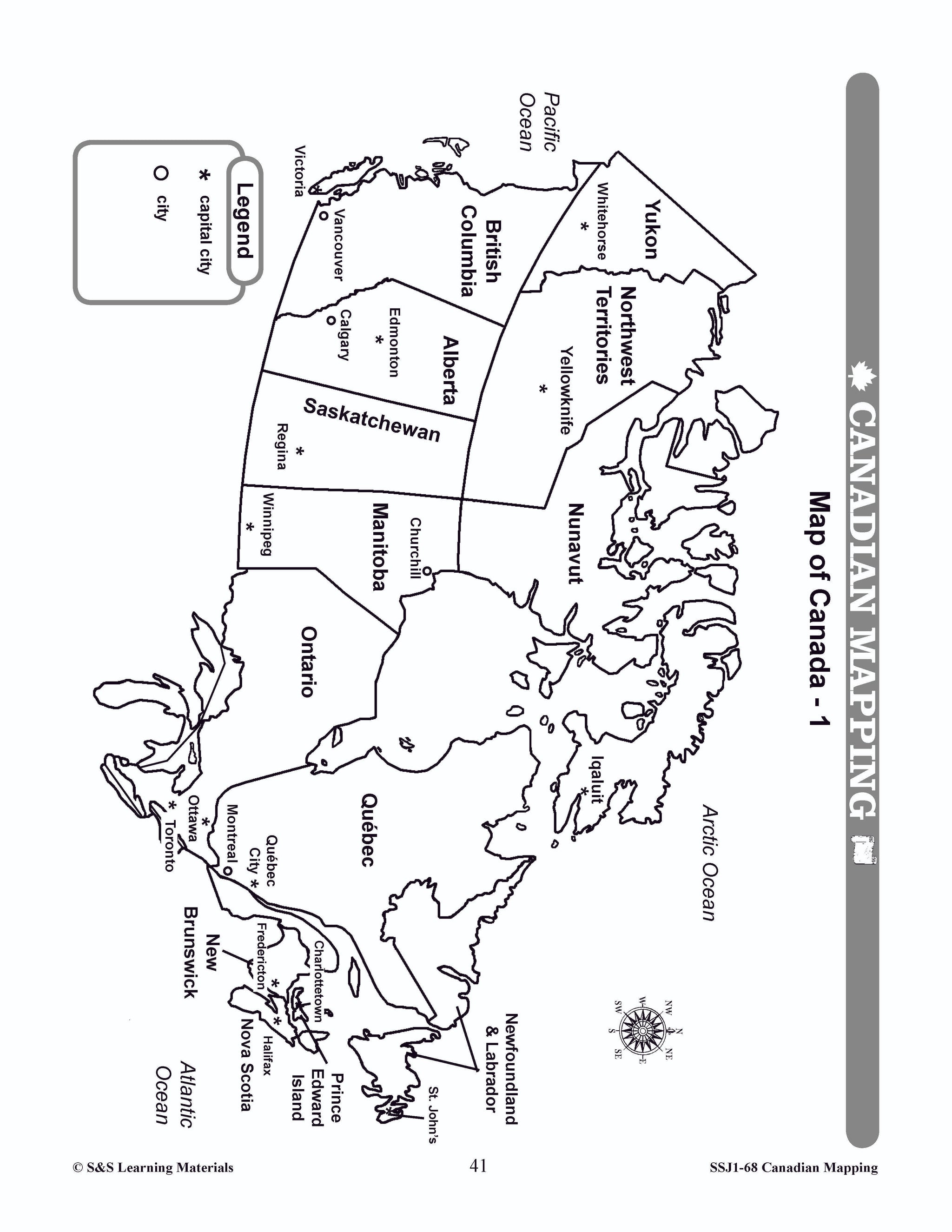
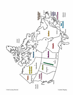
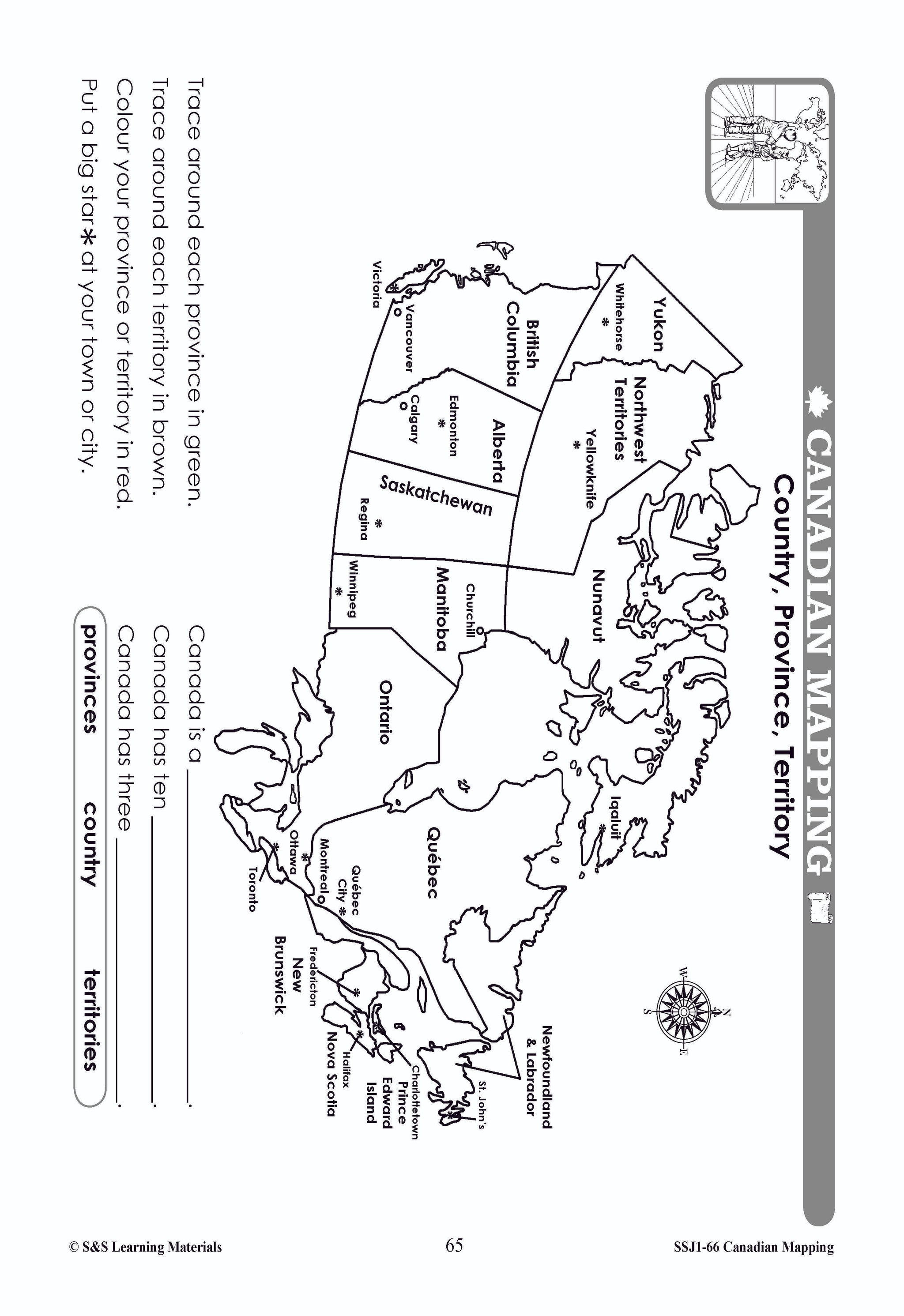
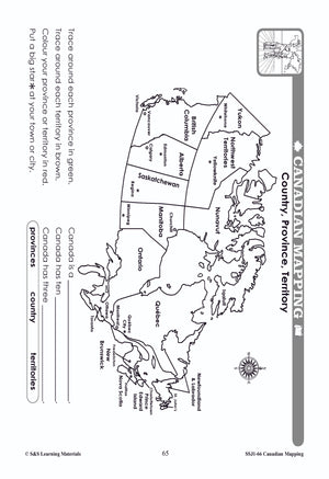
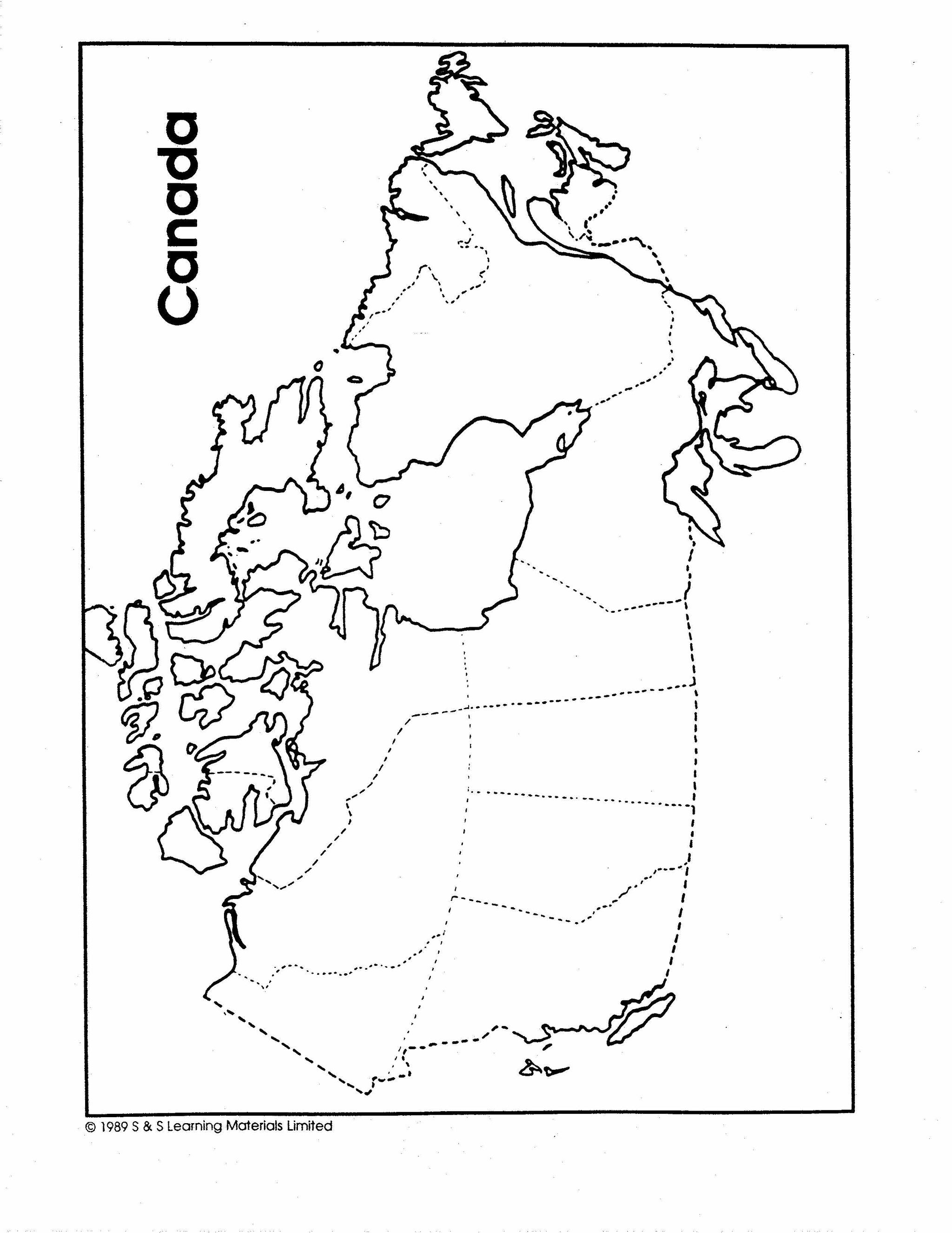
Individual Maps of Canada's Provinces & Territories Grades 1-3
$6.45 CAD
This package includes two maps for each province and territory in Canada. The first map supplies locations for major cities and rivers. The second map is blank and could be used for a variety of purposes from locating and labeling...

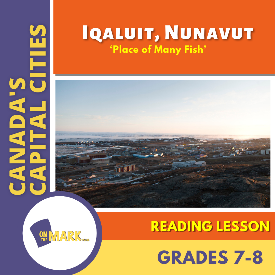

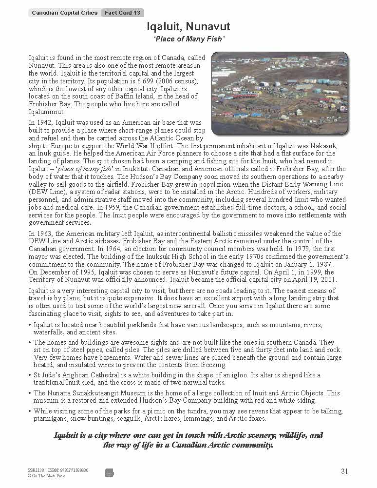
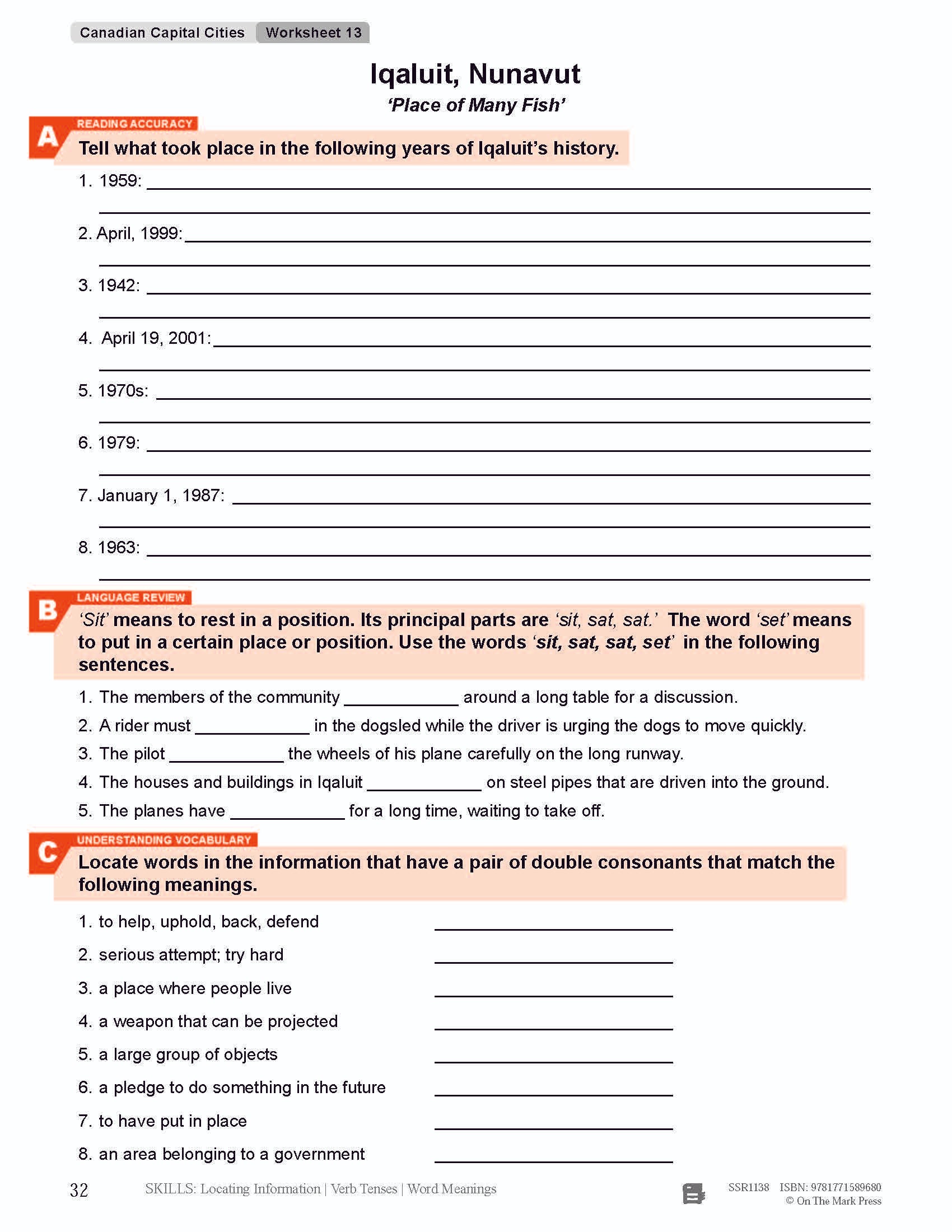


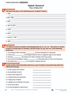
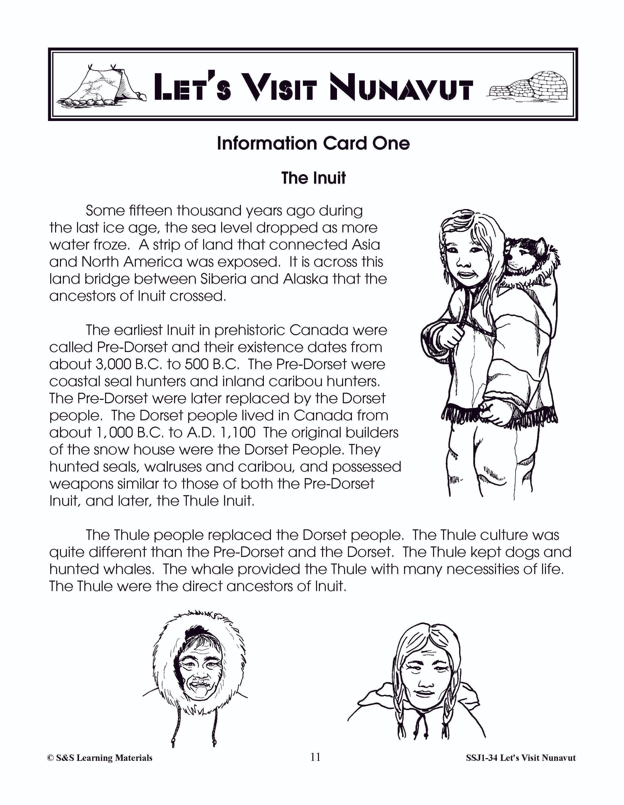
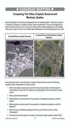
Iqaluit, Nunavut's Capital City Reading Lesson Grades 7-8
$2.95 CAD
Students will improve their reading comprehension and grammar skills while completing the lesson about Iqaluit, Nunavut's Capital City. Each topic contains an information story and follow-up exercise designed to review and develop strong reading and phonetic skills. Skill Practiced: Locating Information...
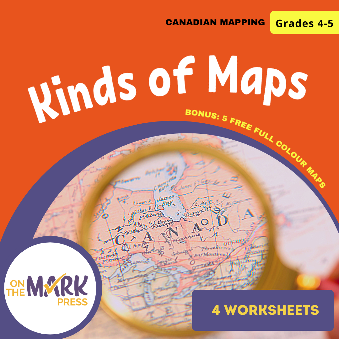


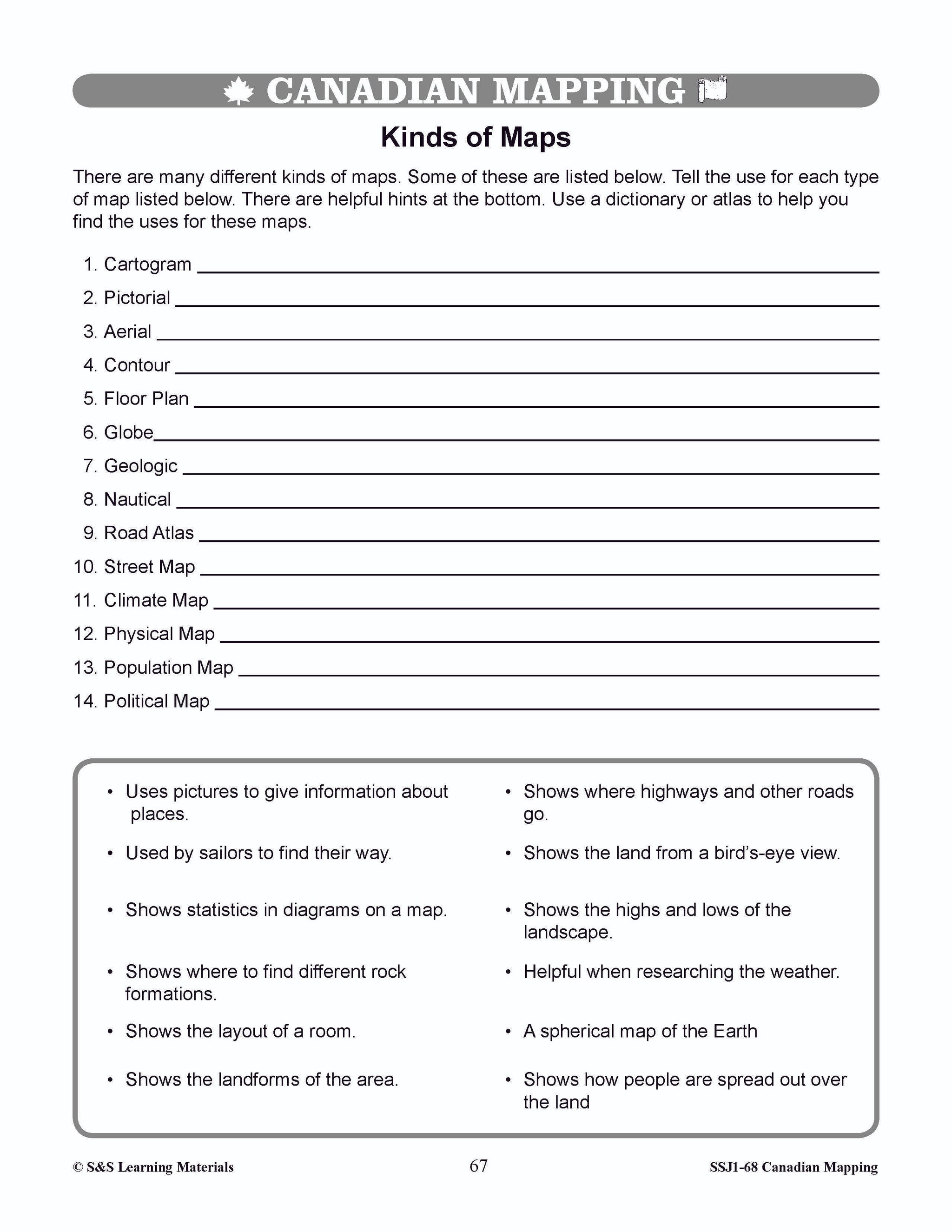

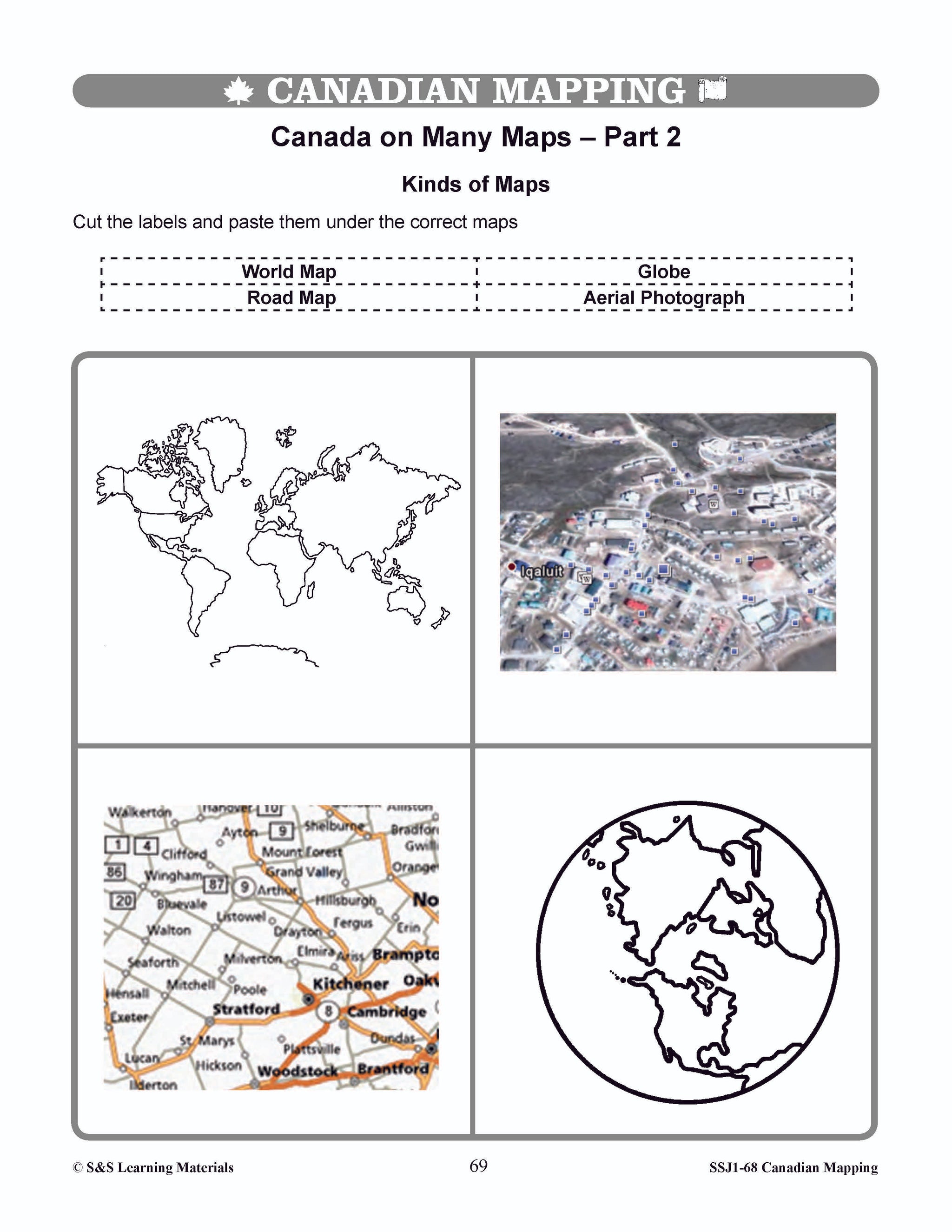
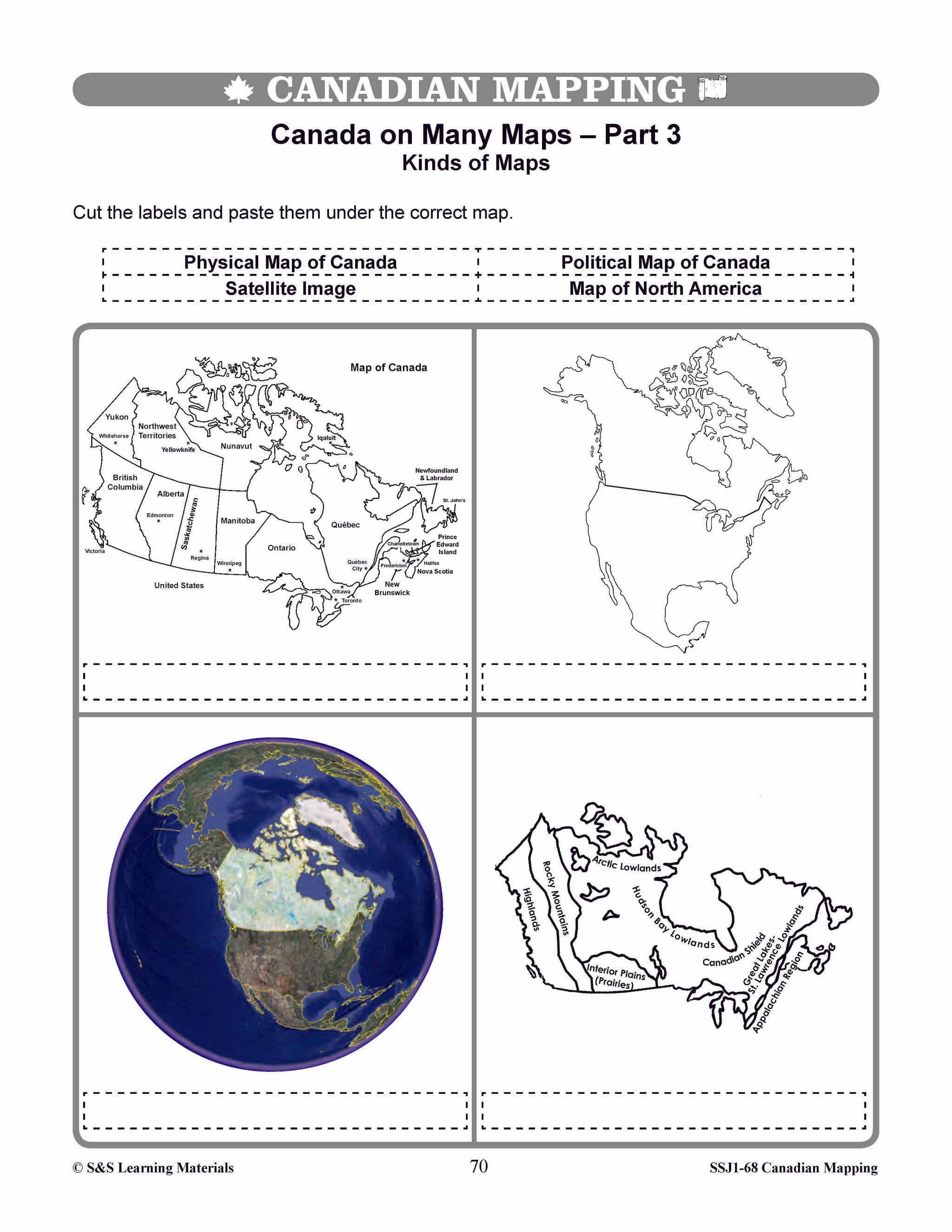


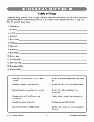
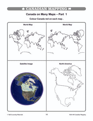
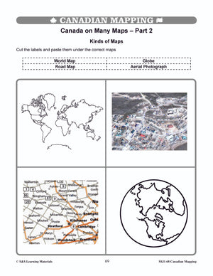


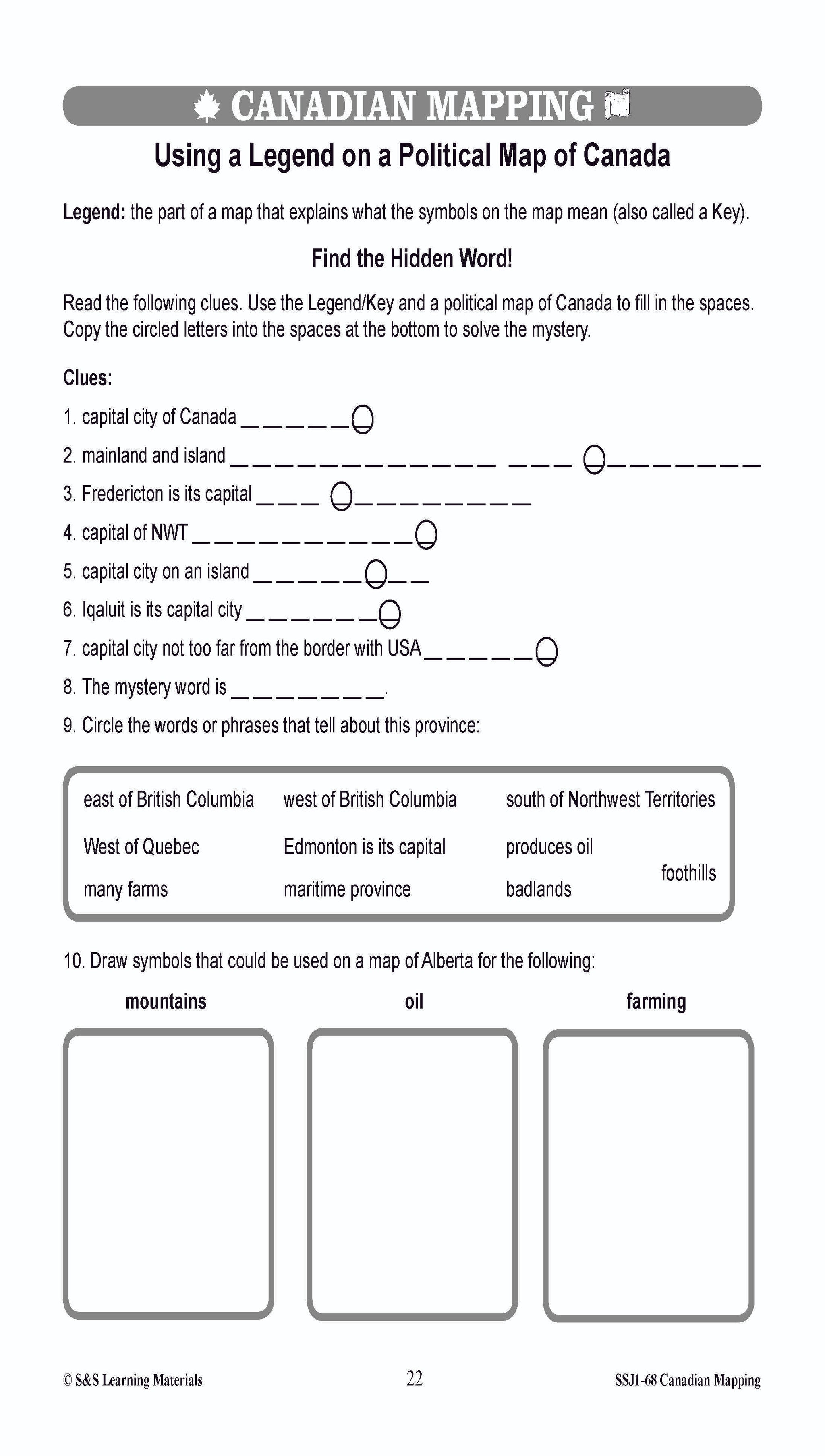
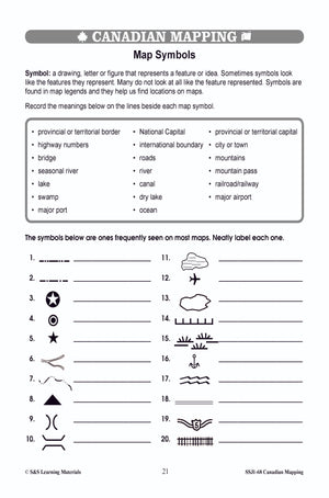
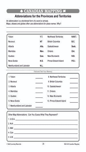
Kinds of Maps Worksheets Grades 4-5
$6.45 CAD
Students will learn about the different kinds of maps with these four worksheets. Teacher information on these topics: what a map is, types of maps, how to read a map, map indexes, scale, and geographic grids, hemispheres, directional indicators, and...


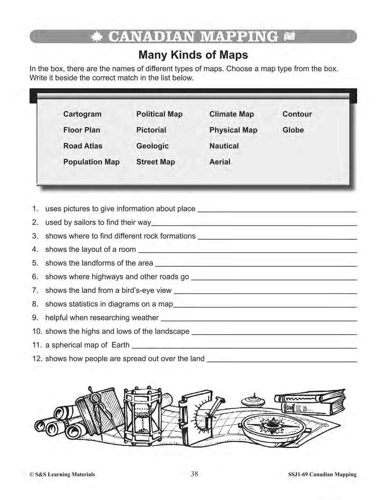


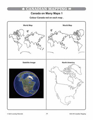
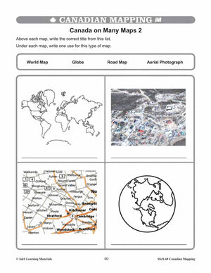
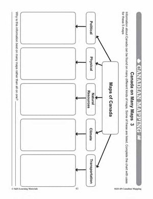


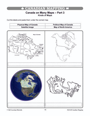
Kinds of Maps Worksheets Grades 5-6
$6.95 CAD
Students will learn about the different kinds of maps with the five worksheets in this lesson. Teacher information on these topics: what a map is, types of maps, how to read a map, map indexes, scale, and geographic grids, hemispheres,...


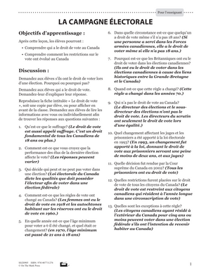
La Campagne Electorale Plan De Cours 4e à 8e année
$7.45 CAD
Suite à cette leçon, Les élevés comprendront le travail nécessaire lors d'une campagne électorale, comprendront comment les candidats sont choisis et comprendront le déroulement de l'élection. Inclus les réponses et le guide de l'enseignant. Other French Titles you may like...


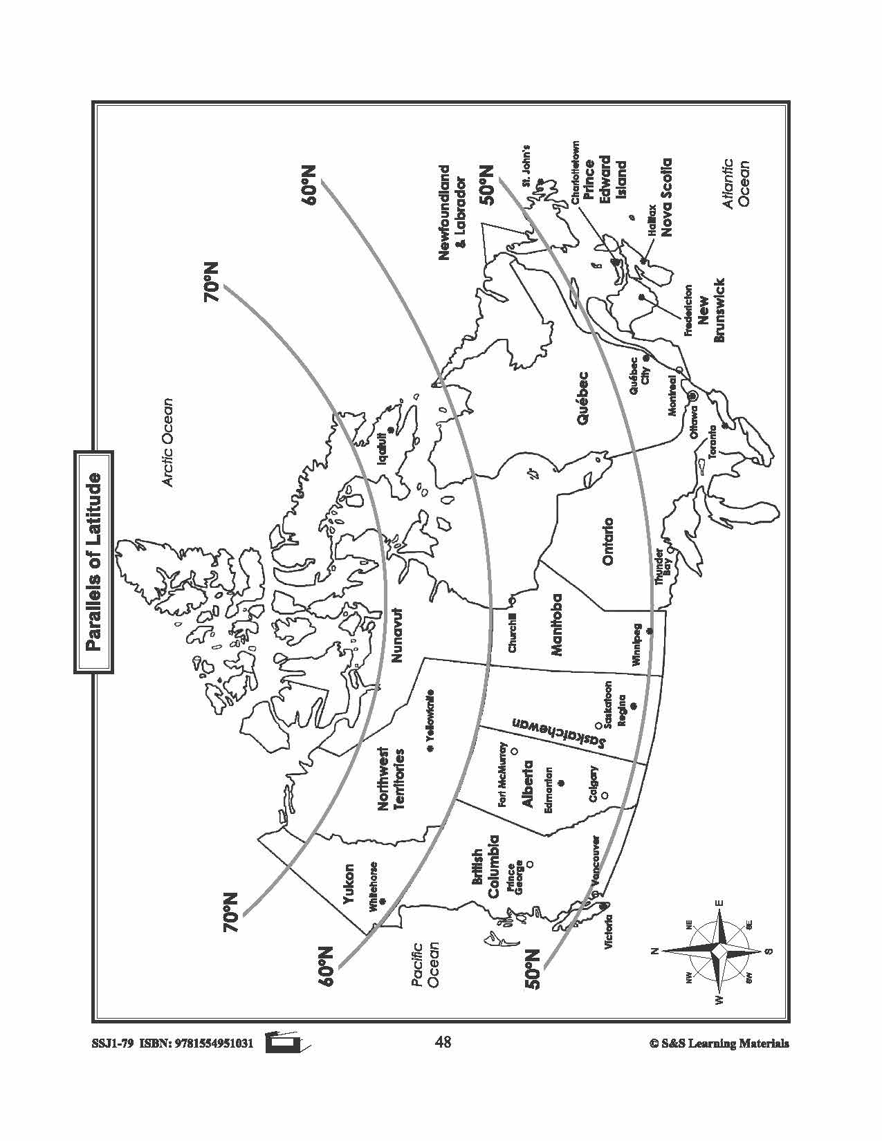
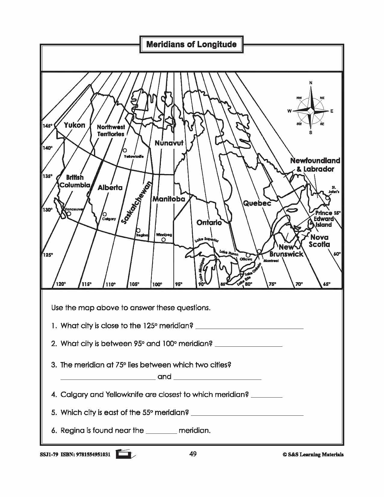
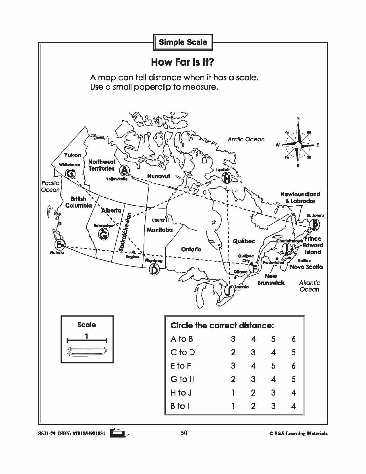
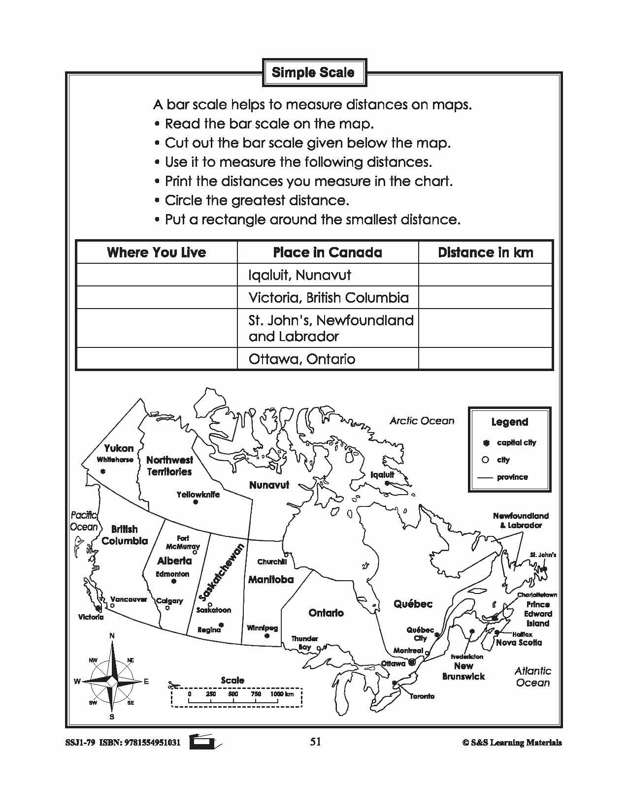
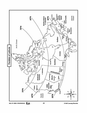
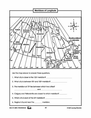

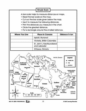
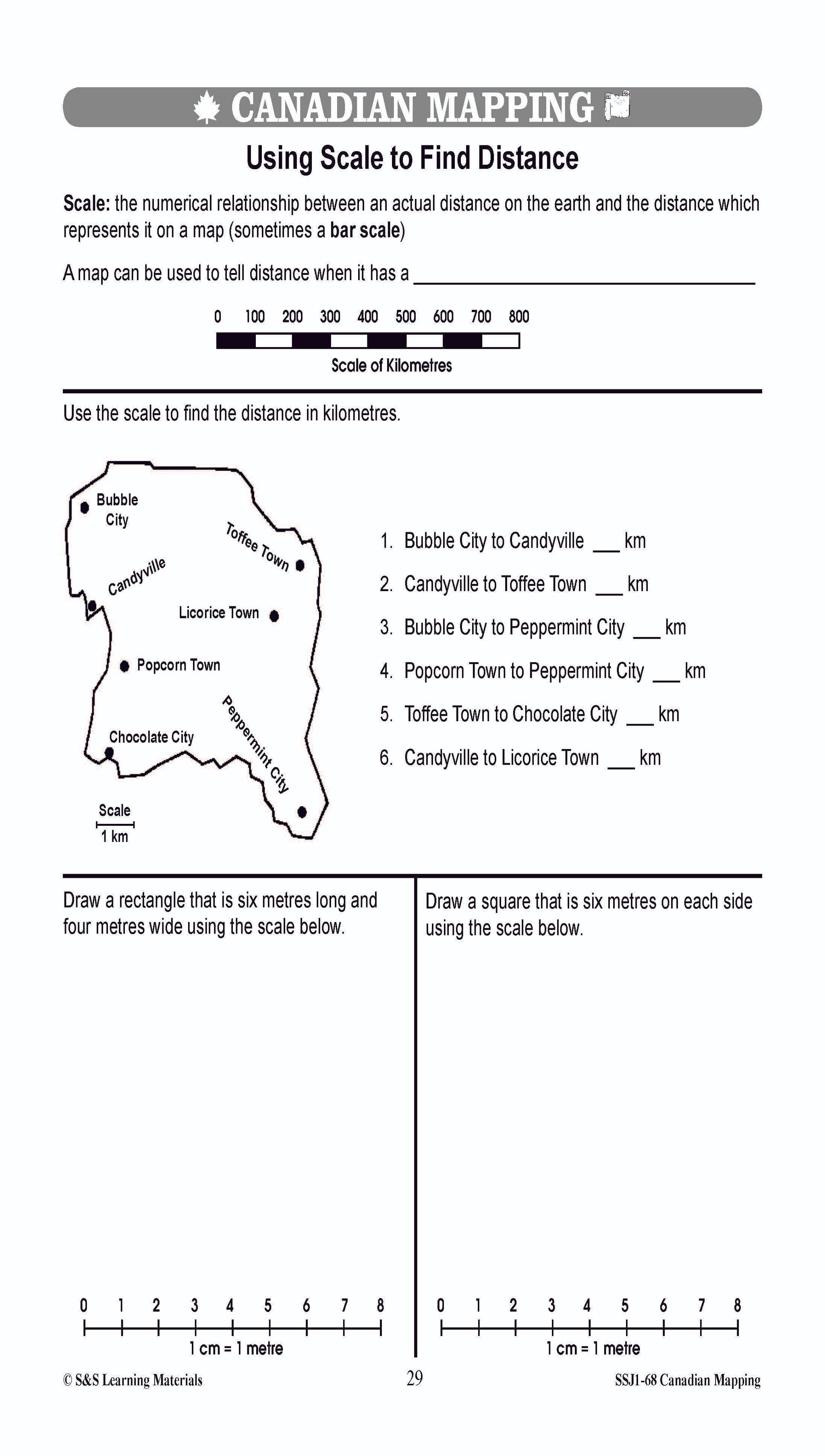
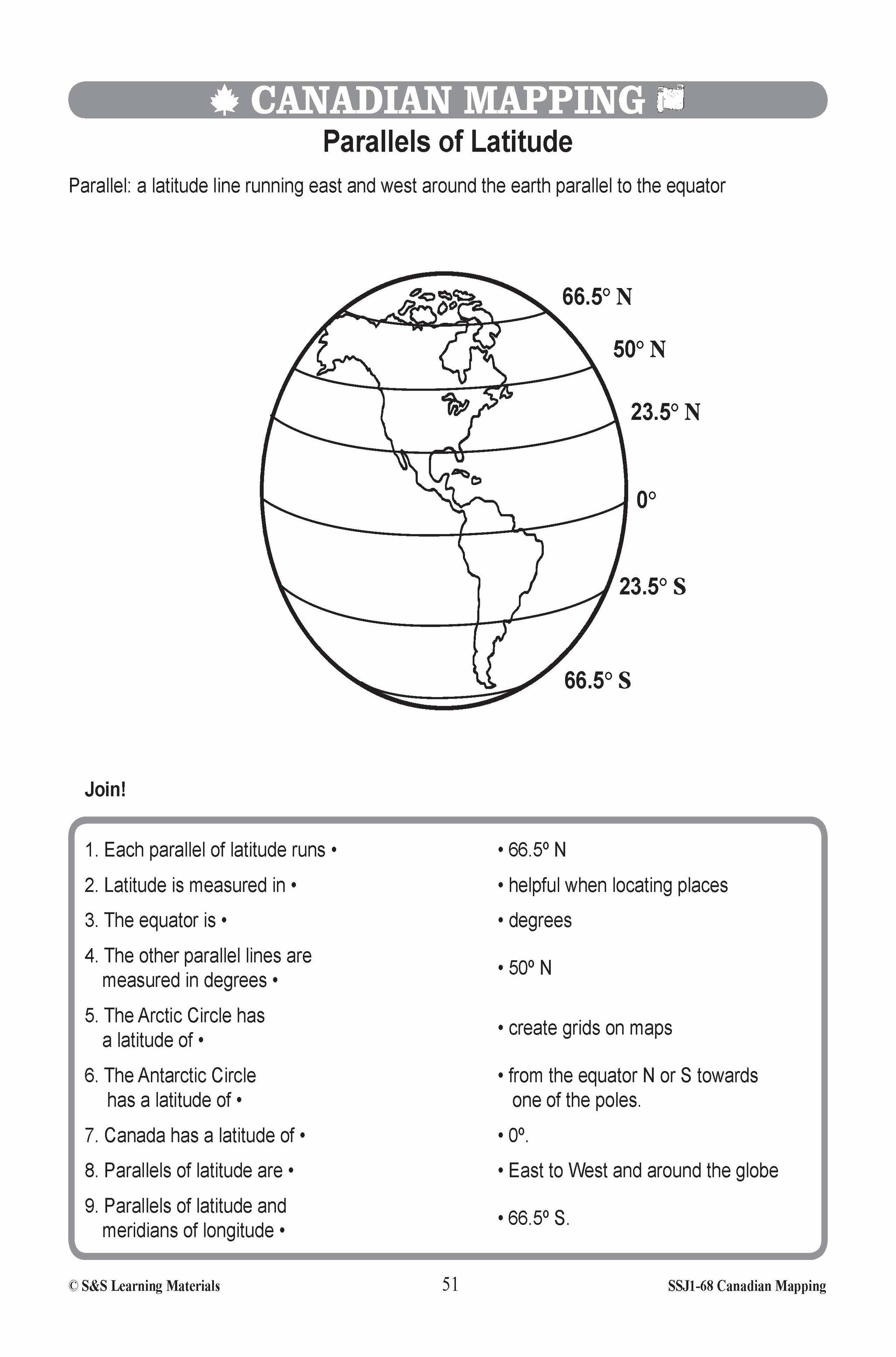
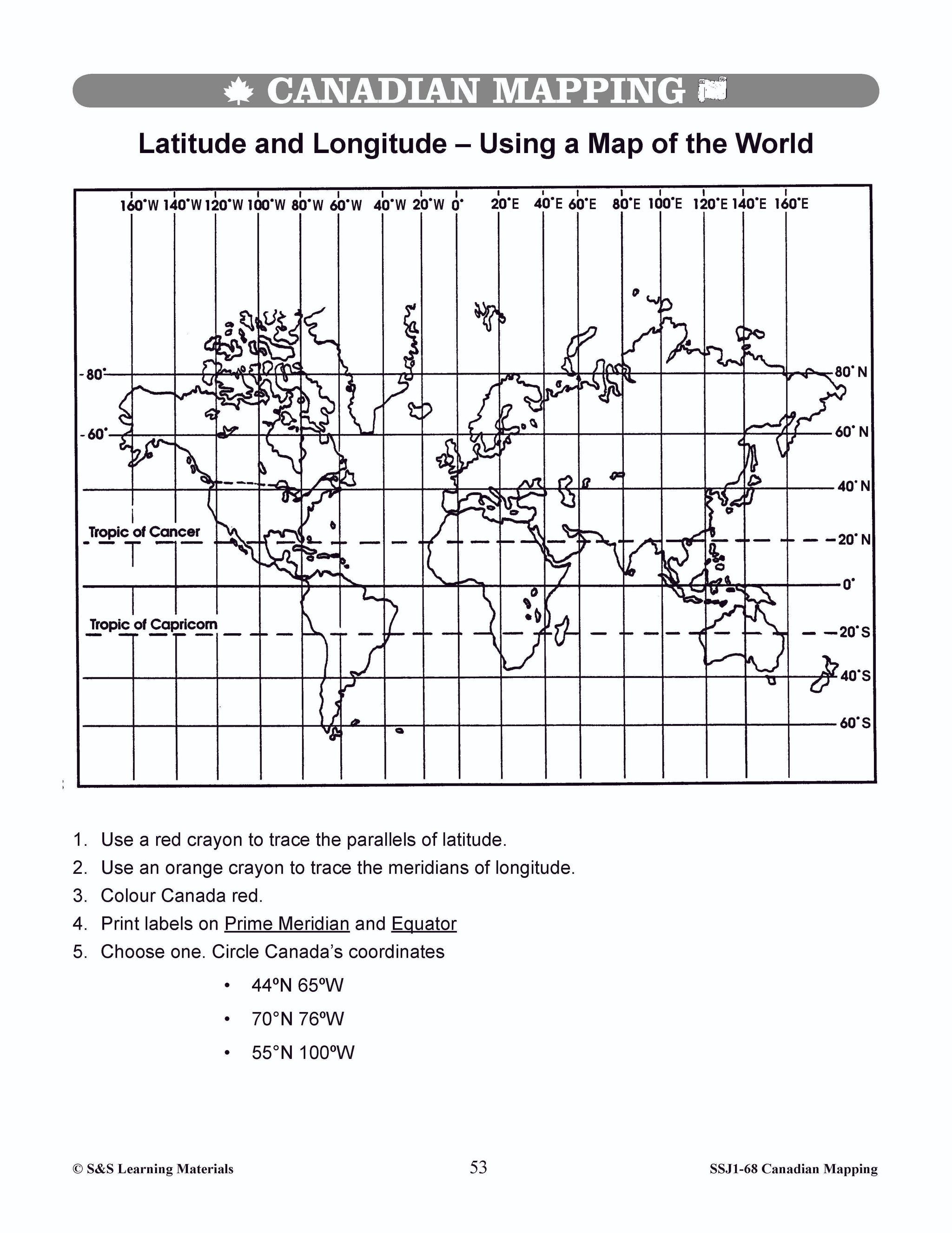
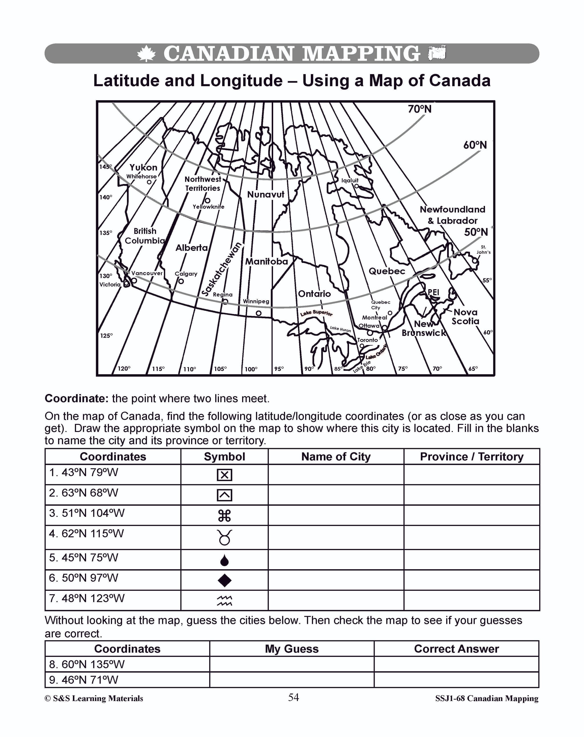
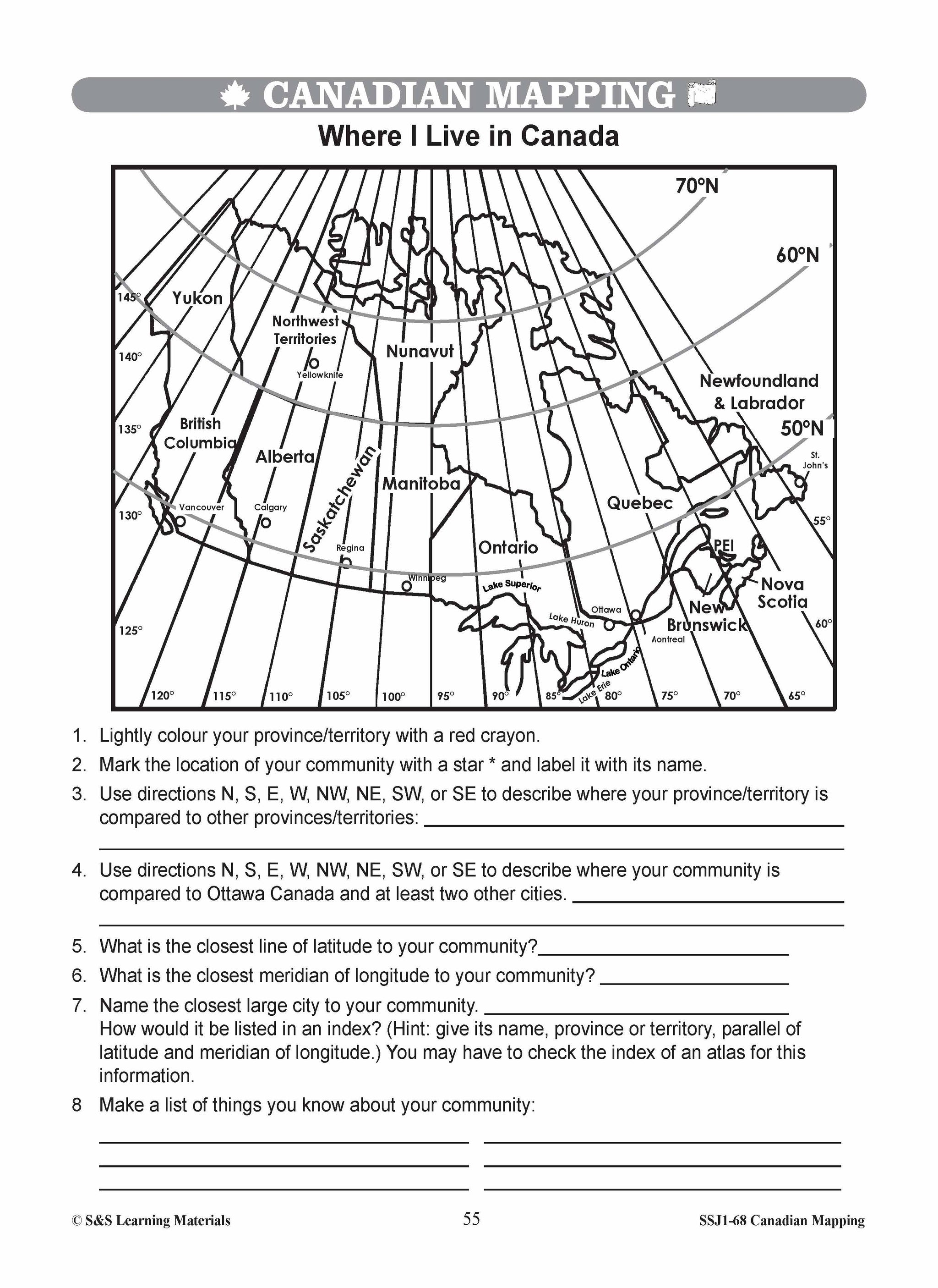
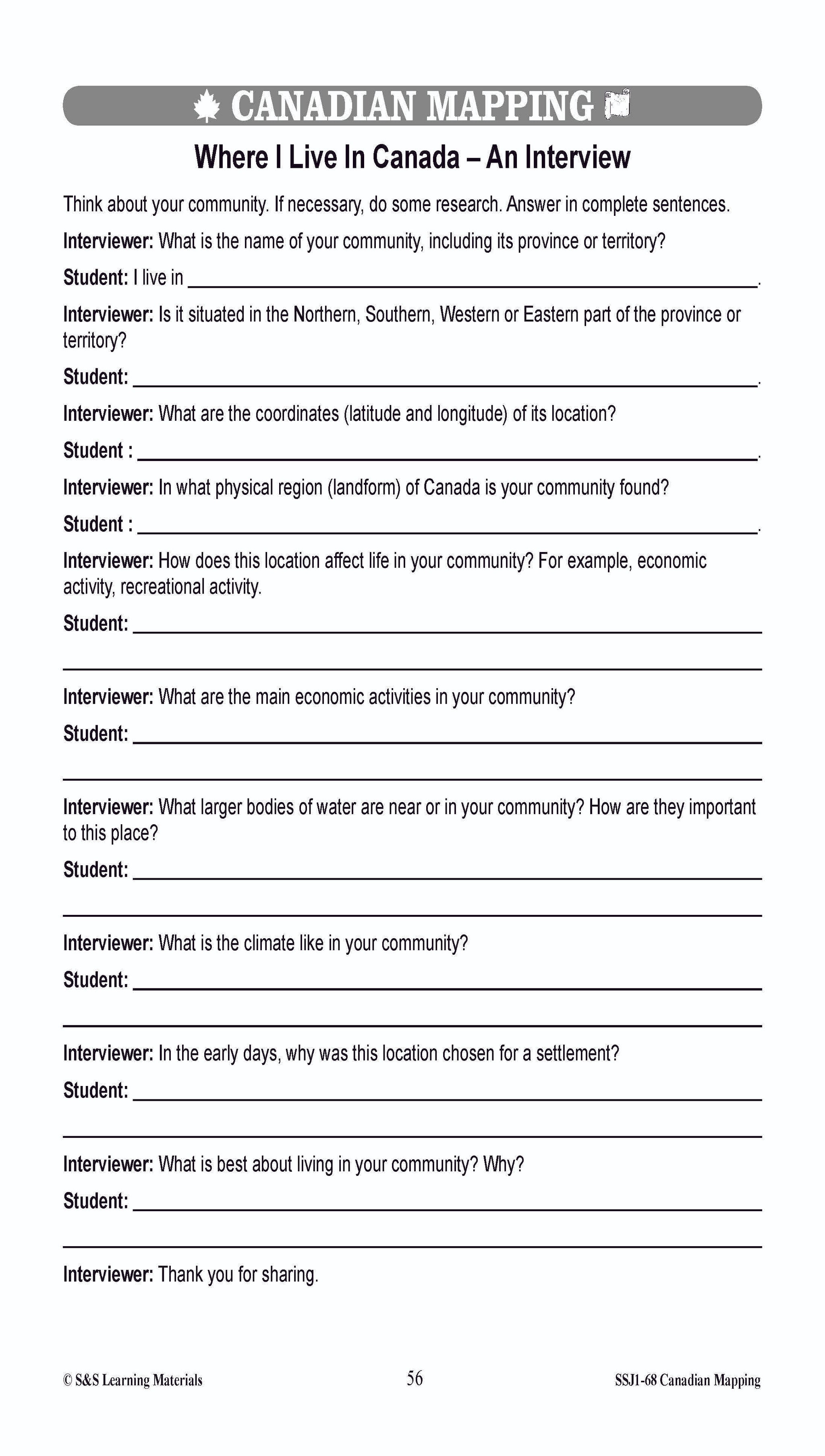
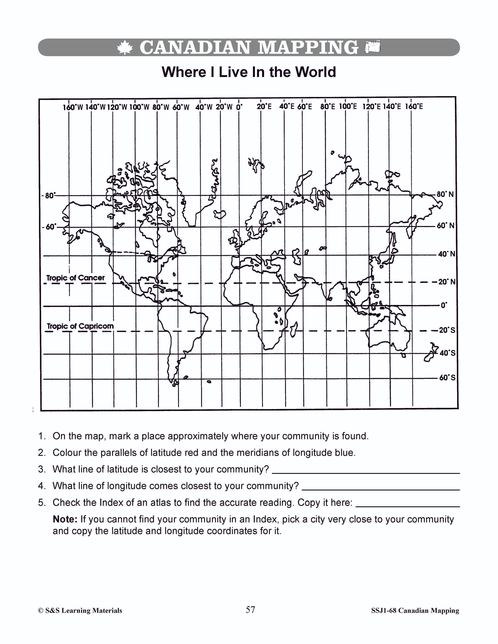
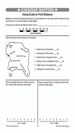
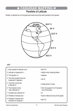
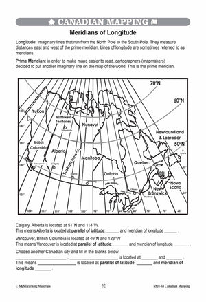
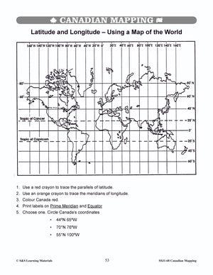
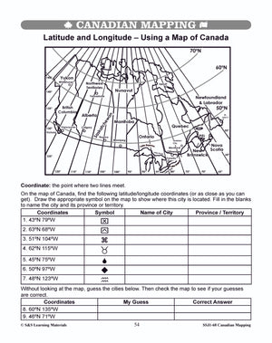
Latitude, Longitude & Scale Canadian Mapping Activities Grades 1-3
$4.95 CAD
Four activities on: Parallels of Latitude Meridians of Longitude Simple Scale: How Far Is It? Simple Scale: Where You Live? Students can use maps with a simple scale to provide practice with addition, subtraction, and estimation skills. They may use...


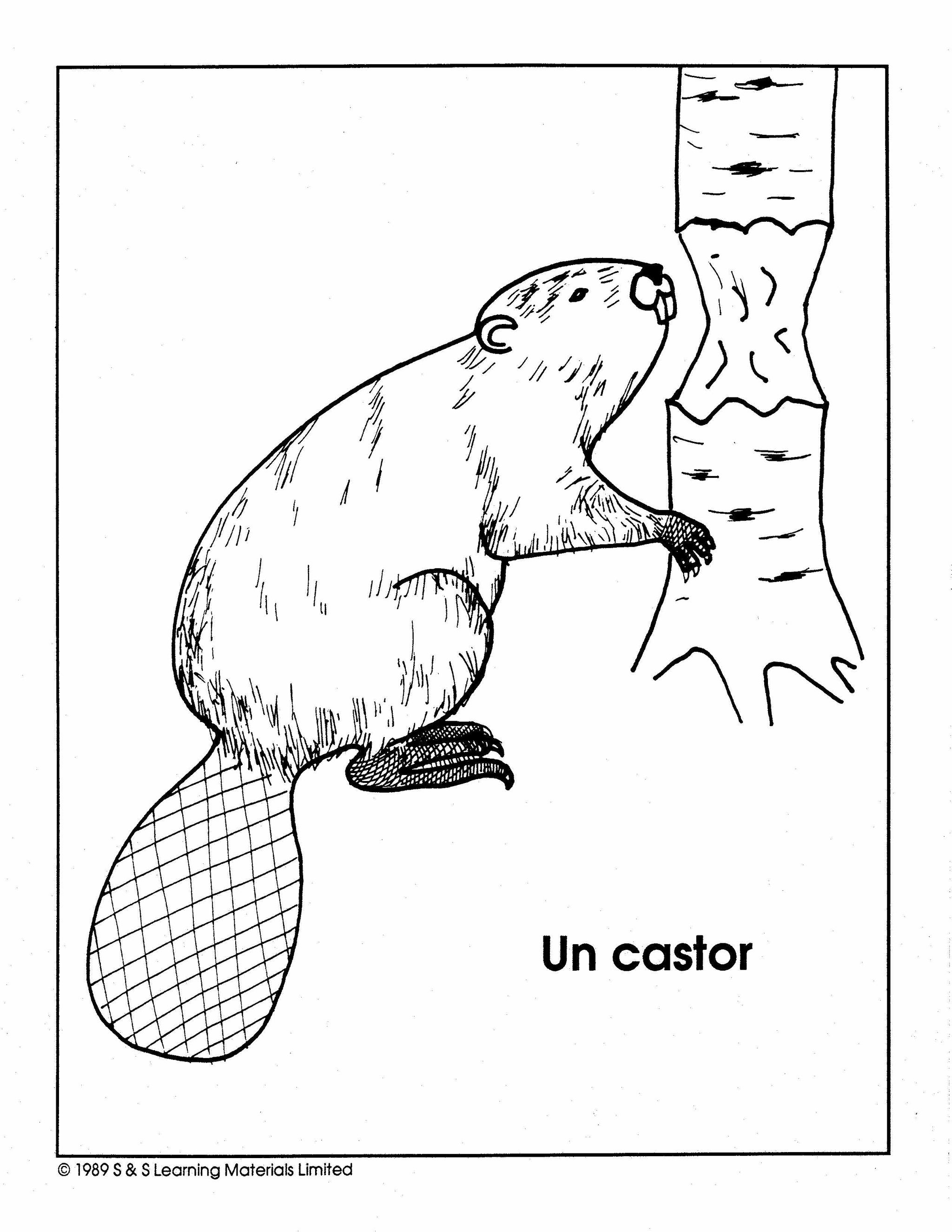


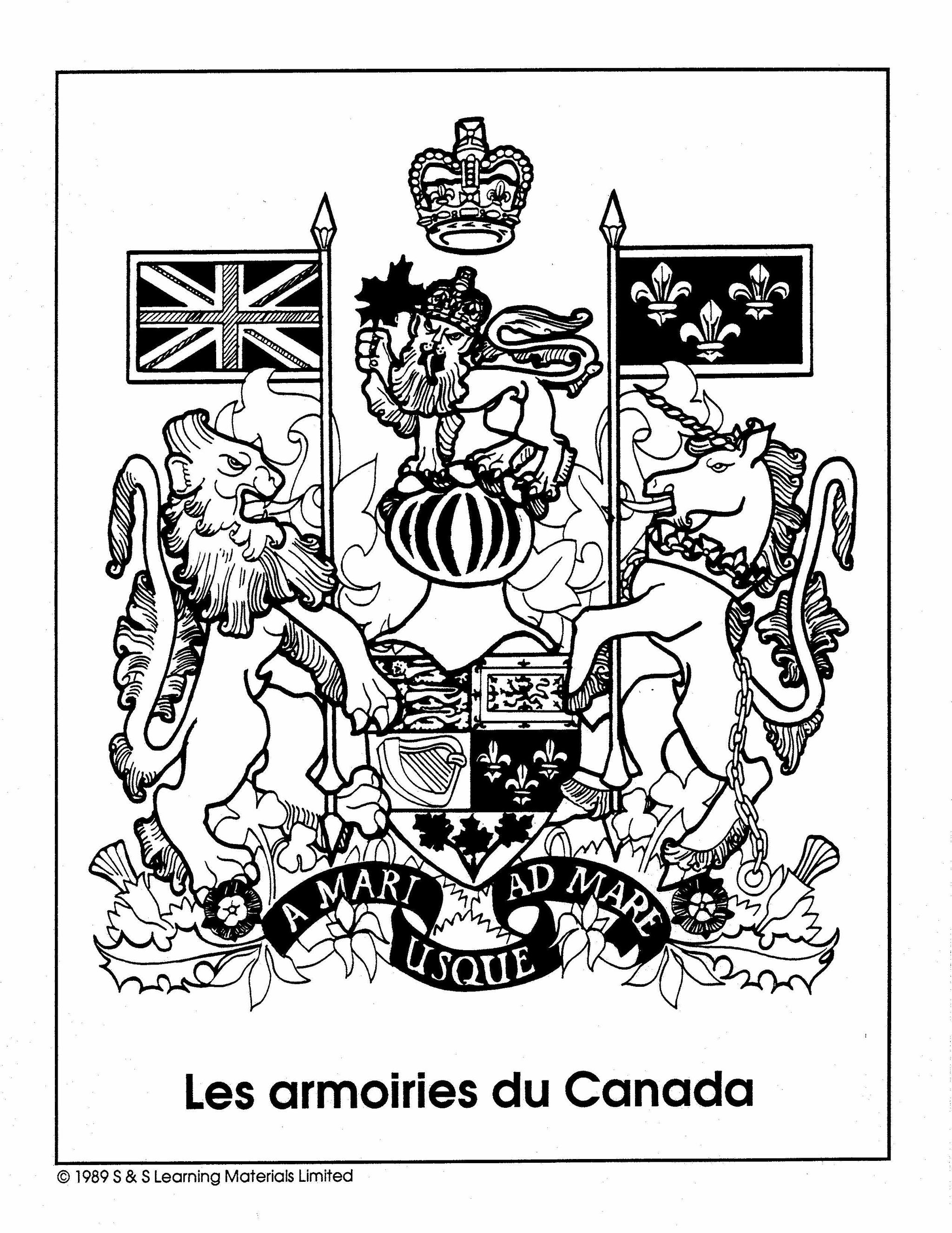


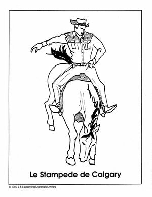
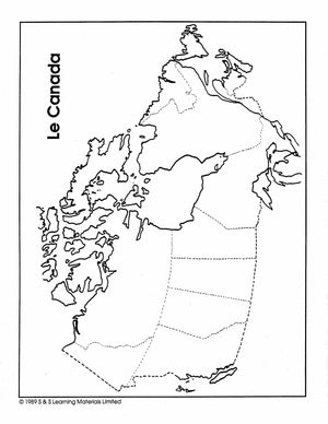

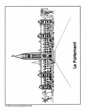

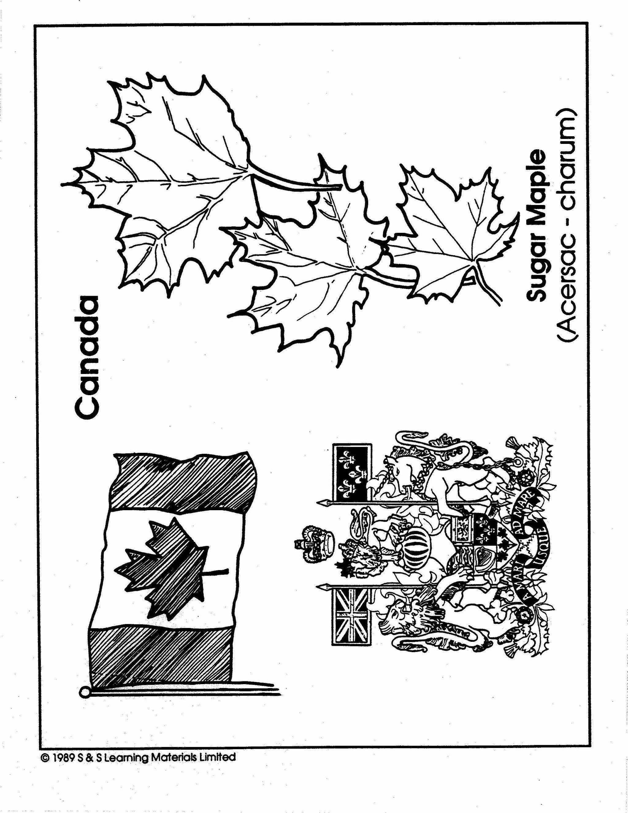
Le Canada Collection d'image Grades 1-8
$13.99 CAD
Trente dessins. Le drapeau du Canada, La Gendarmerie royale du Canada, Un original, Un castor, Des feuilles d'érable, etc. This collection can be easily integrated into any area of the curriculum. Uses for the illustrations: The illustrations can be colored,...


Le Droit De Vote Plan De Cours 4e à 8e année
$5.95 CAD
Suite à cette leçon, Les élevés comprendront qui a le droit de vote au Canada et comment les restrictions sur le droit de vote ont évolue au Canada. Inclus les réponses et le guide de l'enseignant. Other French Titles you...
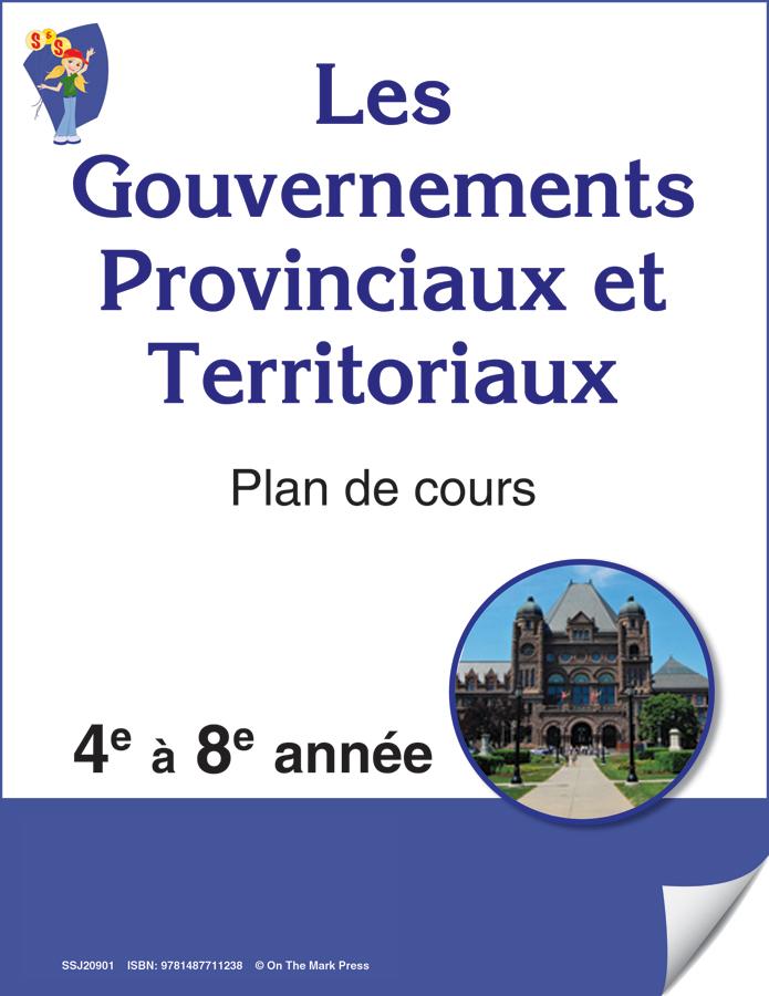


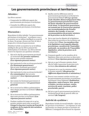
Les Gouvernements Provinciaux Et Territoriaux Plan De Cours 4e à 8e année
$5.45 CAD
Les élevés comprendront les différents aspects des gouvernements provinciaux et territoriaux et prendront conscience de leurs responsabilités. Other French Titles you may like Follow us on: Facebook Instagram


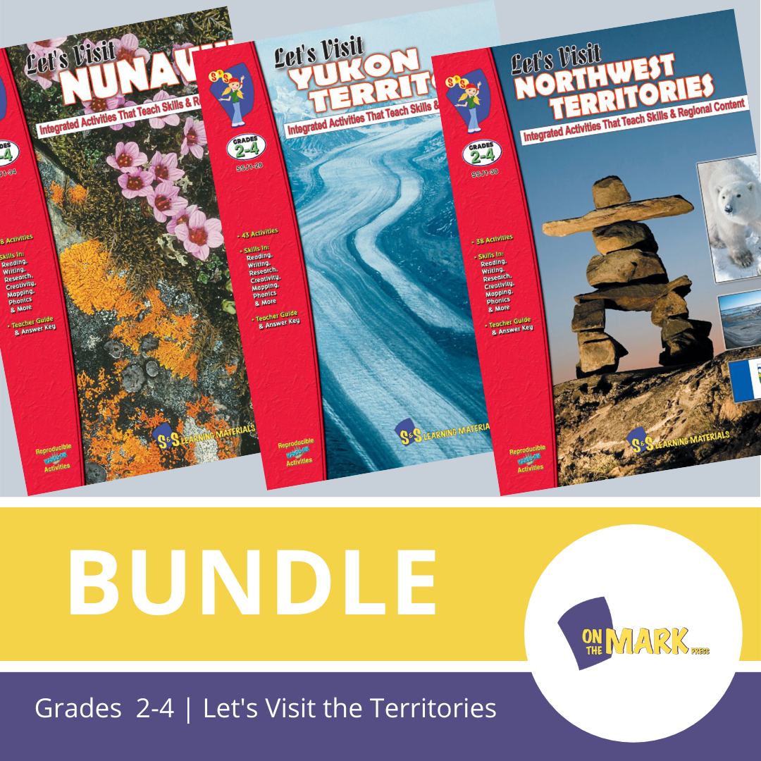


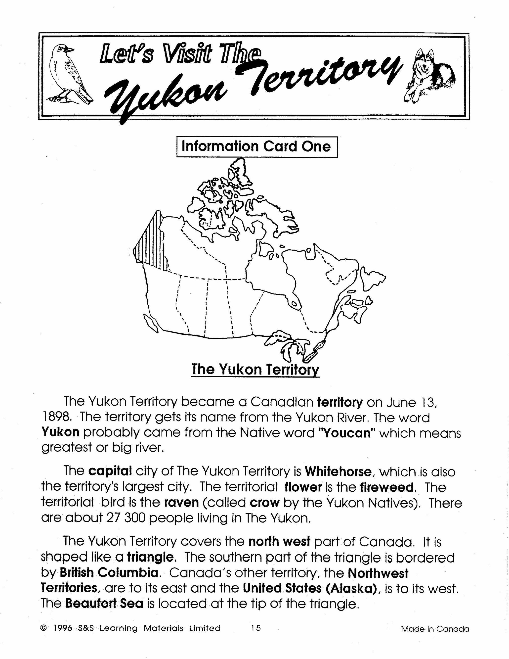
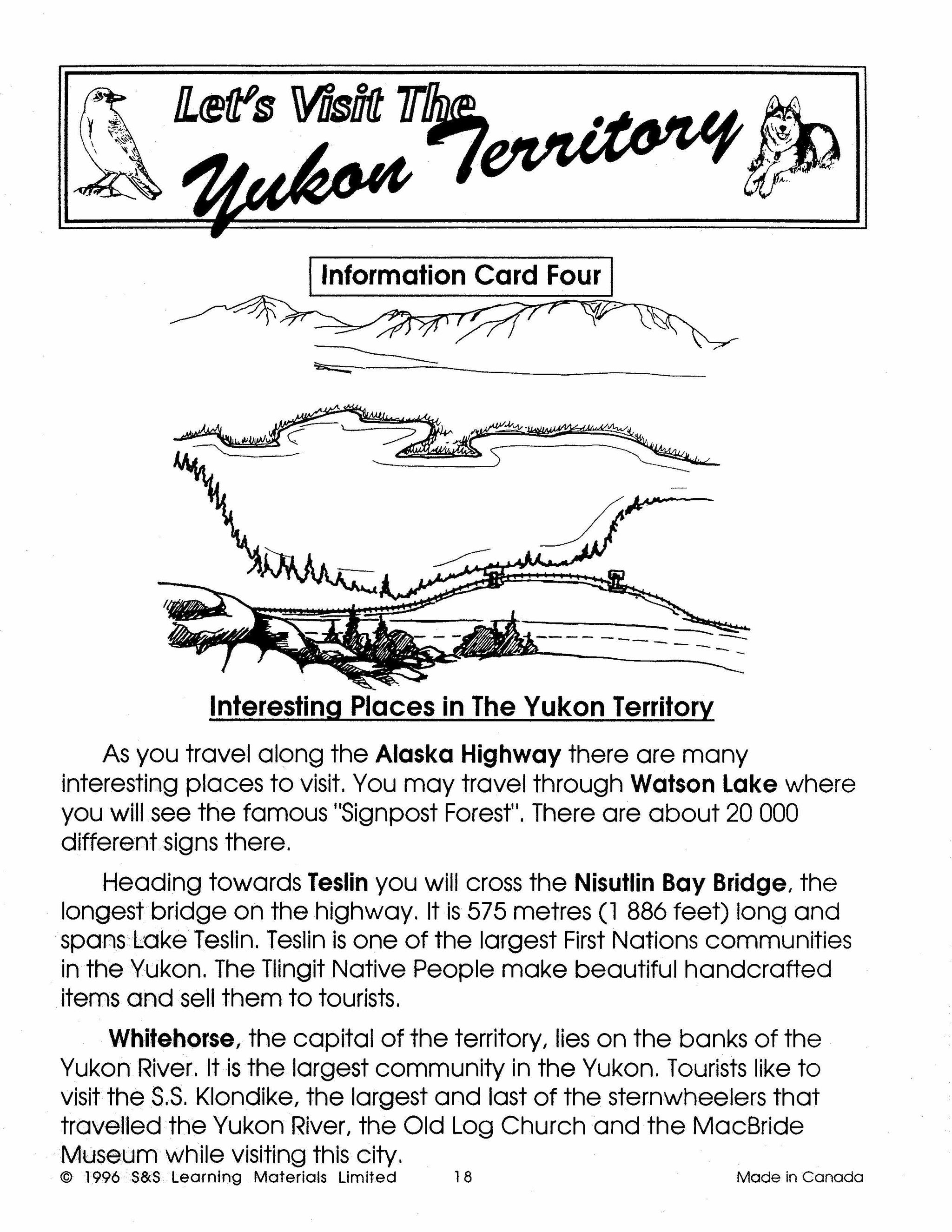
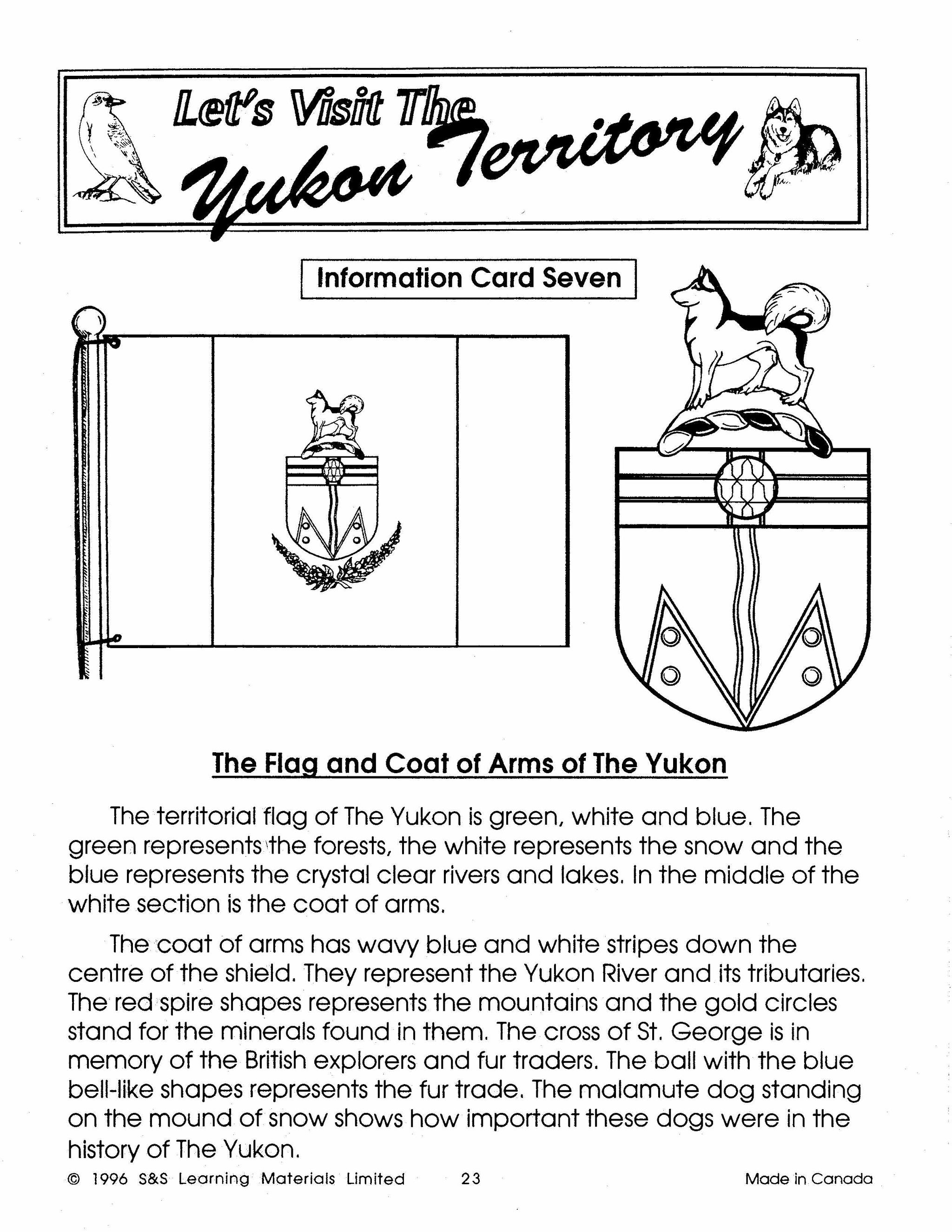

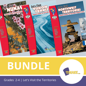
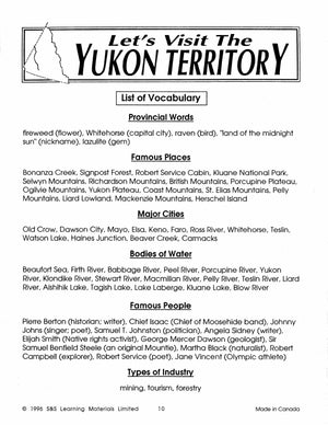
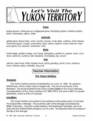
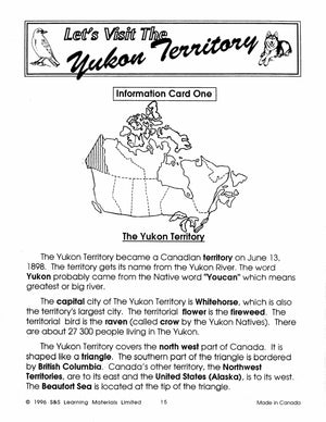

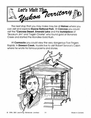
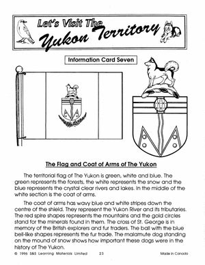
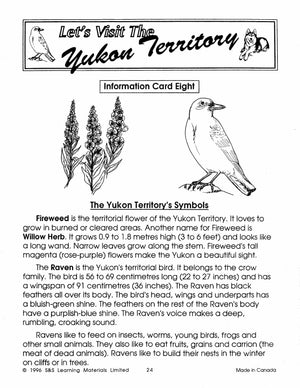
Let's Visit Canada's Territories - A 3 Book Bundle Grades 2-4
$64.95 CAD
Take a trip to Canada's north with your students. Each book highlights the history, land, industry, animals, symbols, and exciting places found in each province. Additional activities in language, creative writing, mapping, and research are also included, with a reproducible...


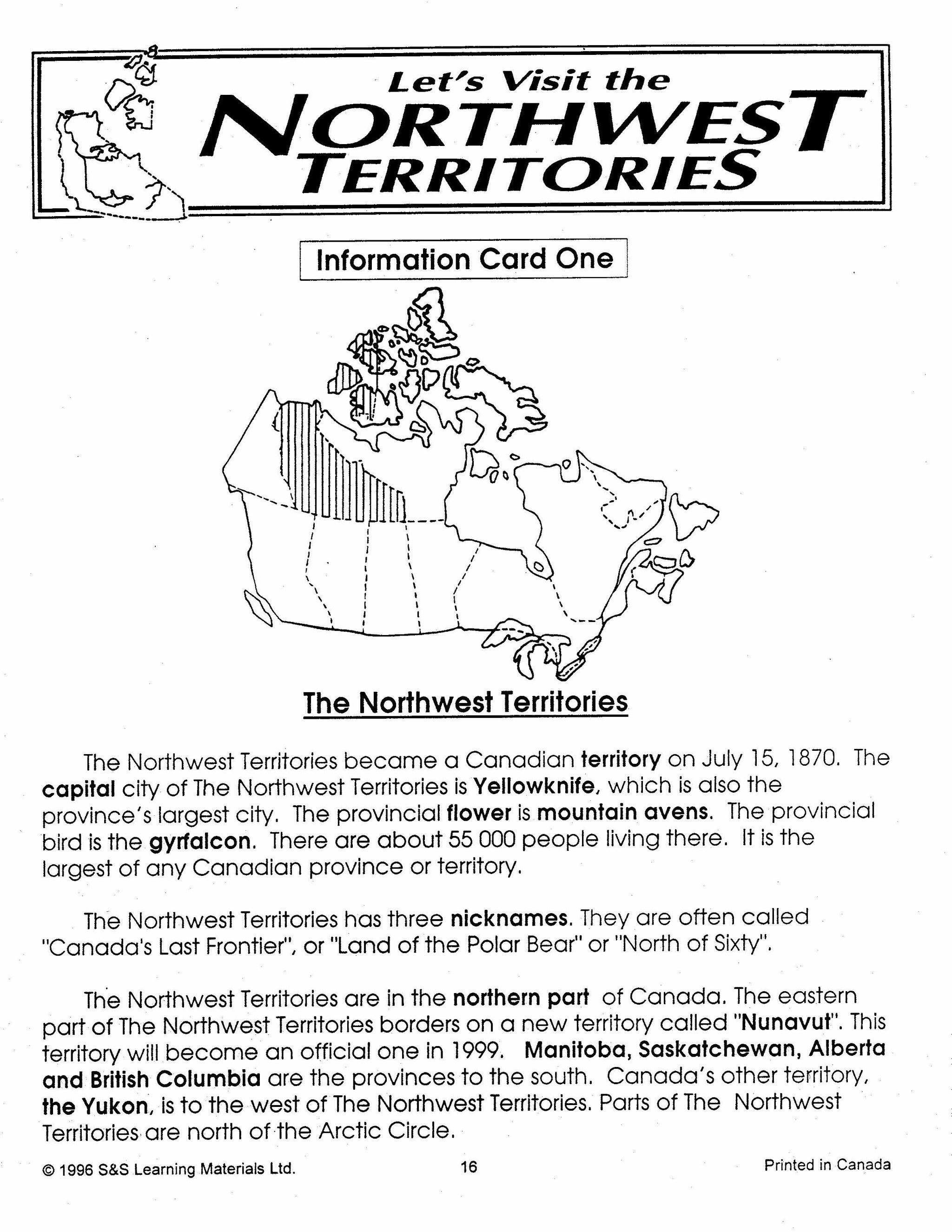


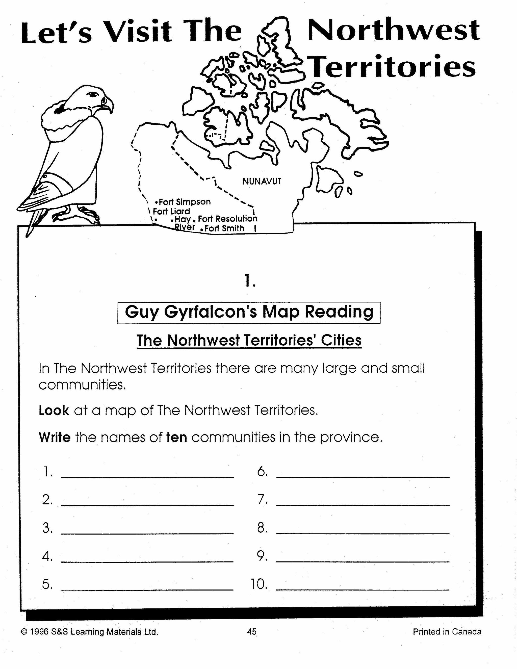
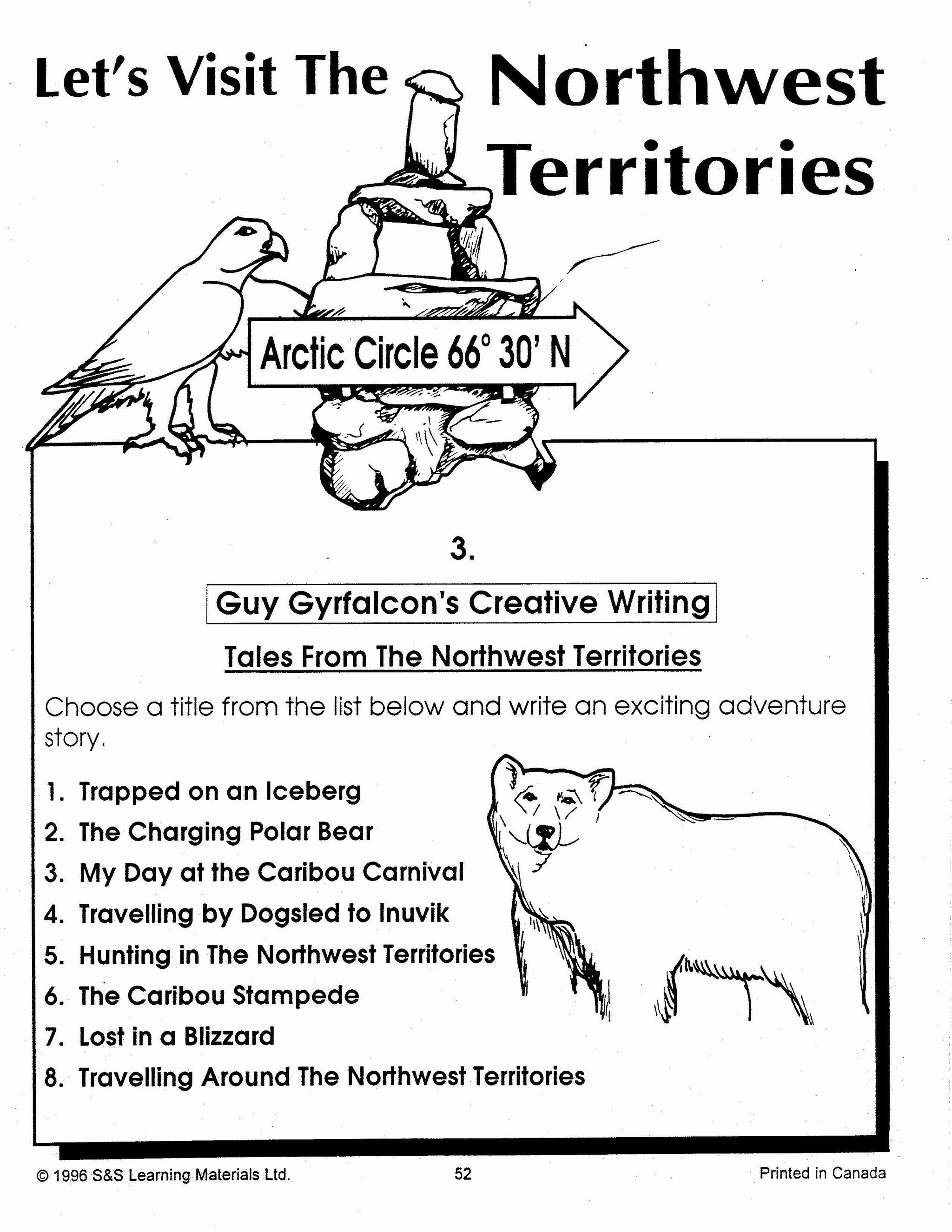
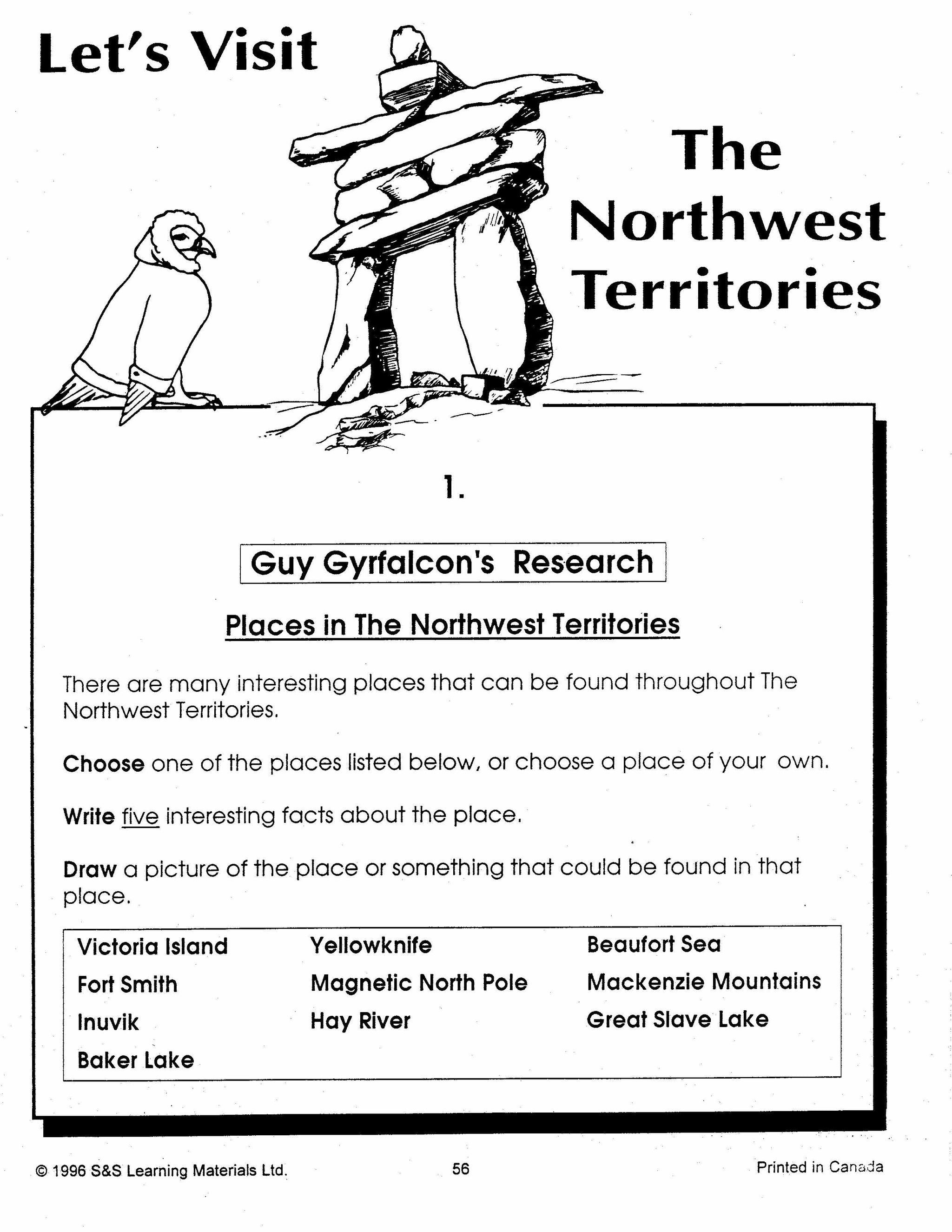


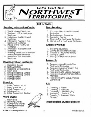
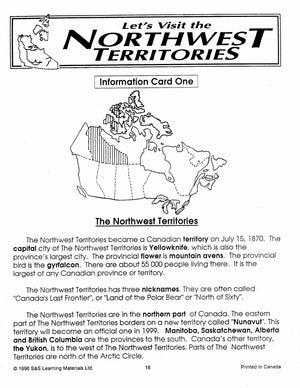
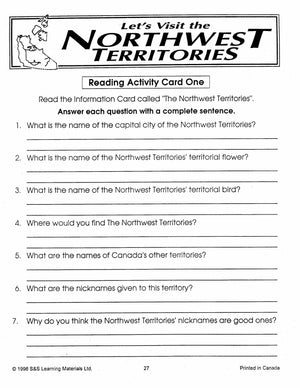
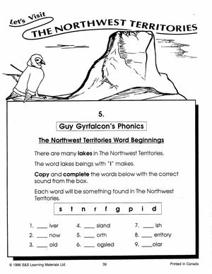
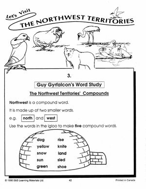

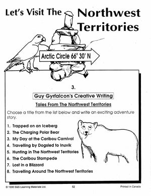
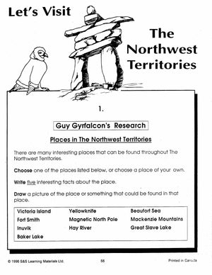
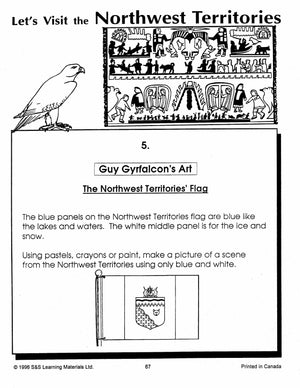
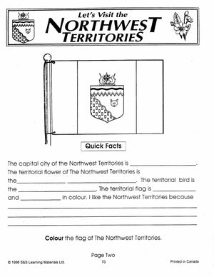
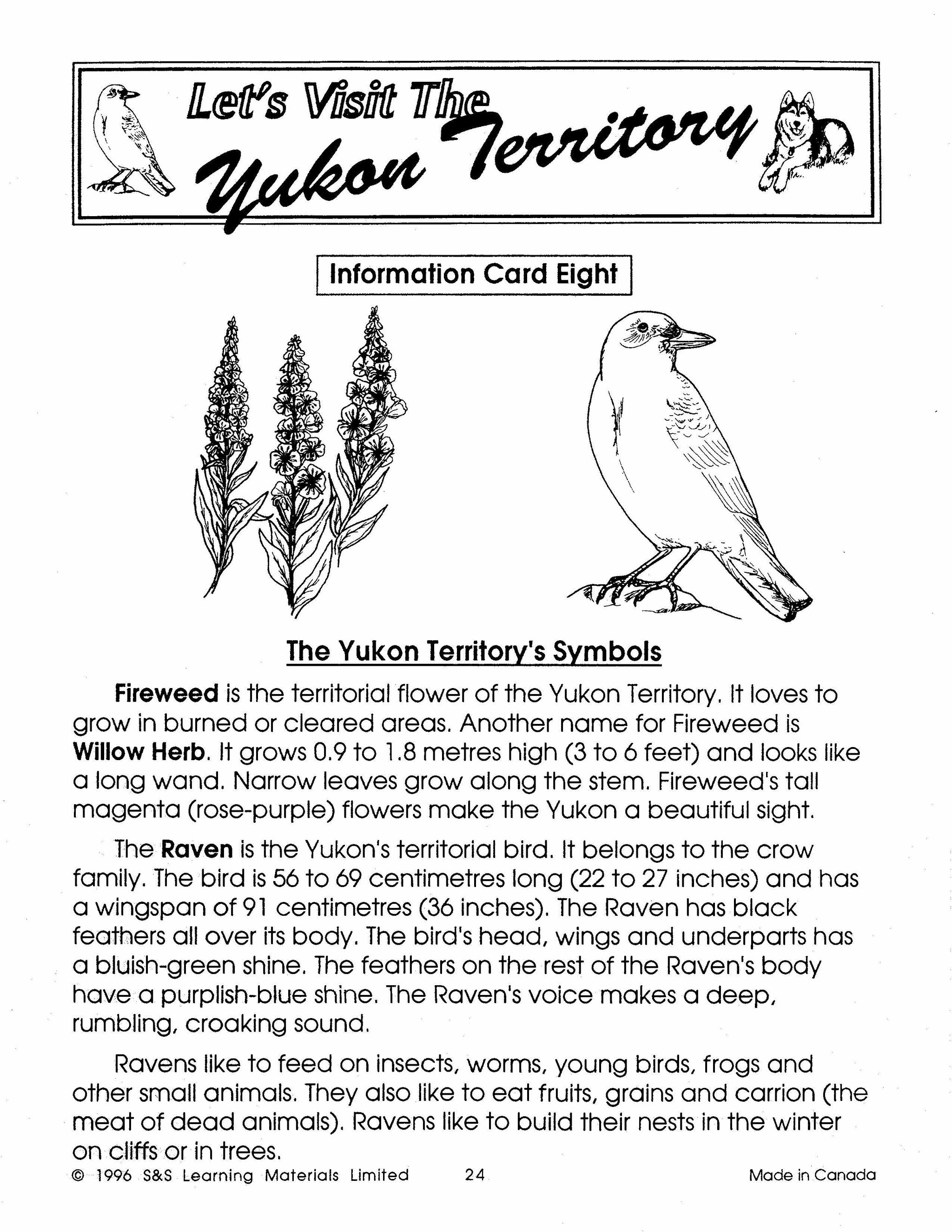
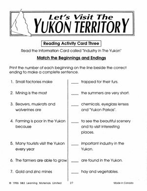
Let's Visit the North West Territories Grades 2-4
$25.99 CAD
The Northwest Territories is a unique part of Canada. The Inuit word for this land means the beautiful land which sums up the seemingly endless wilderness. Enrich your students' knowledge of Canada by studying this vast land of tundra in...


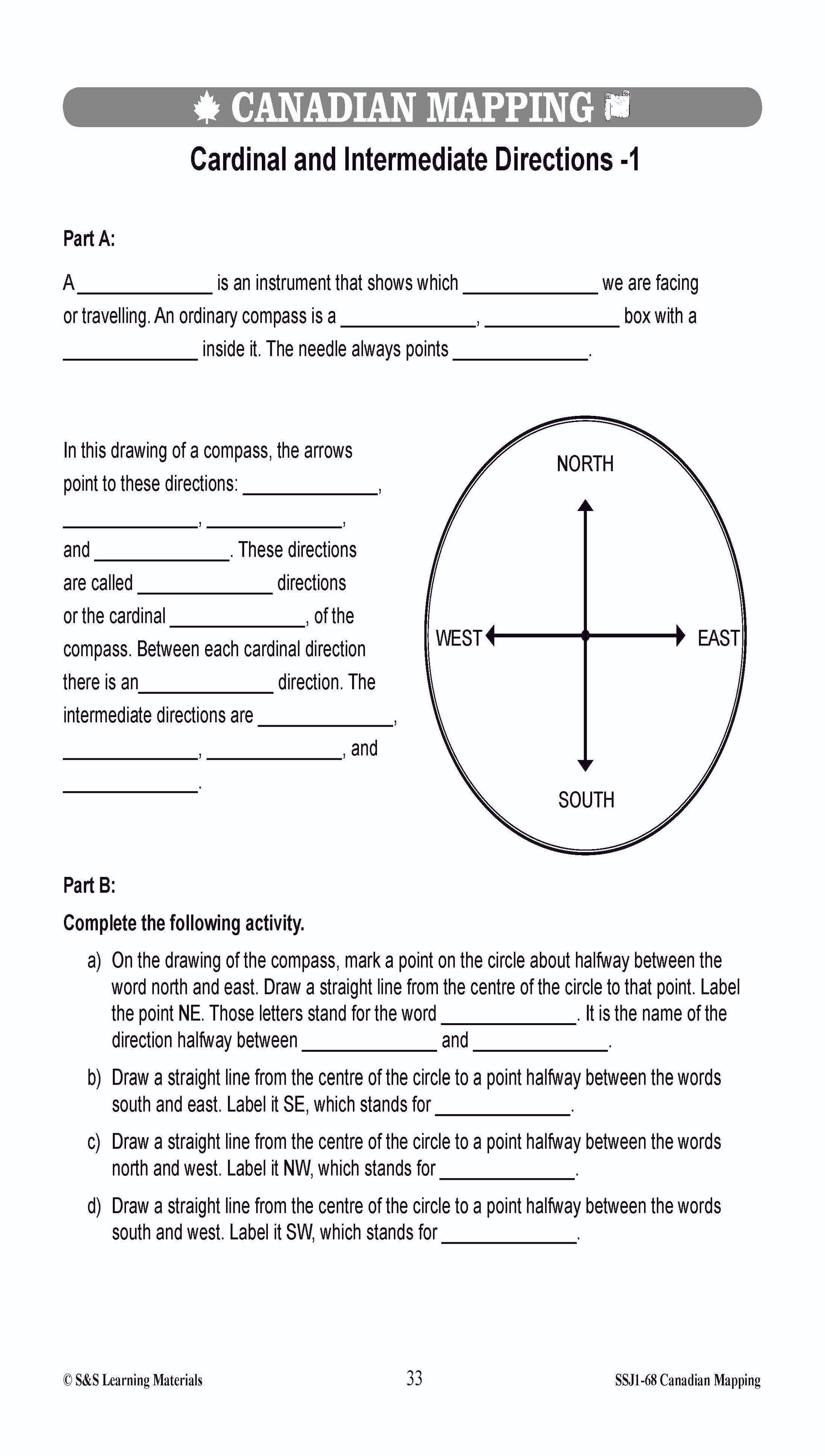


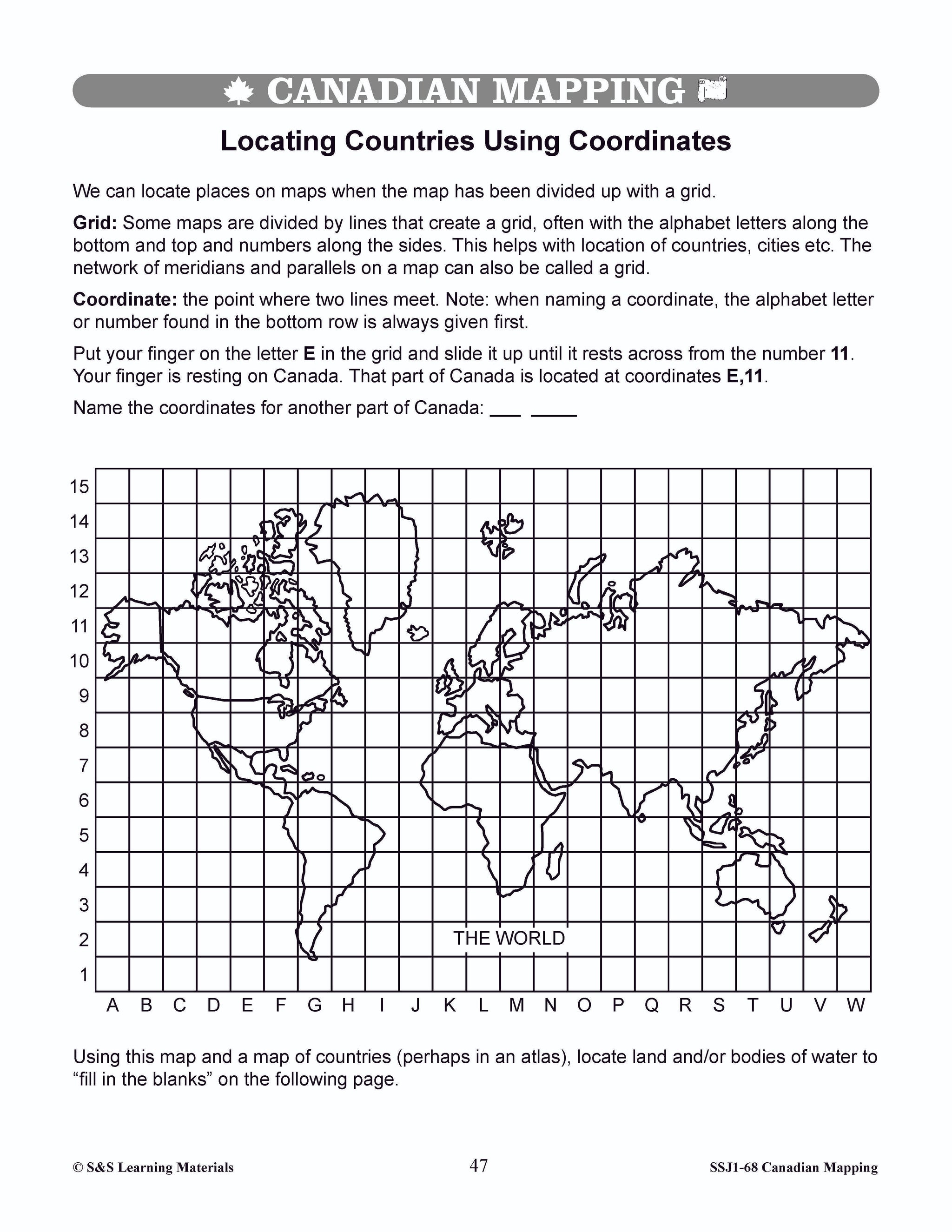
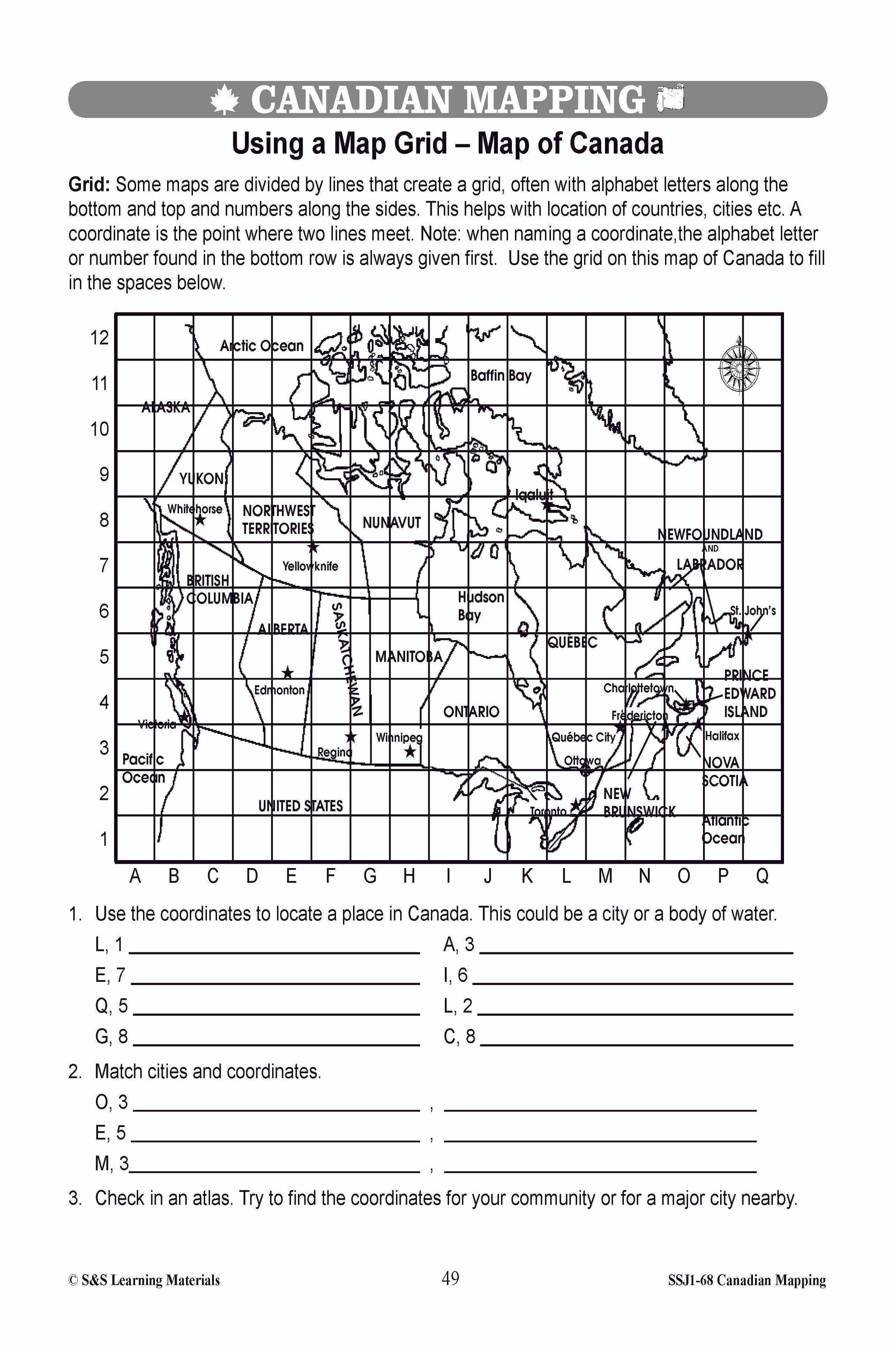


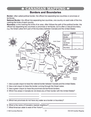

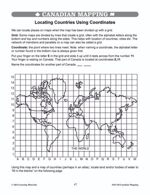
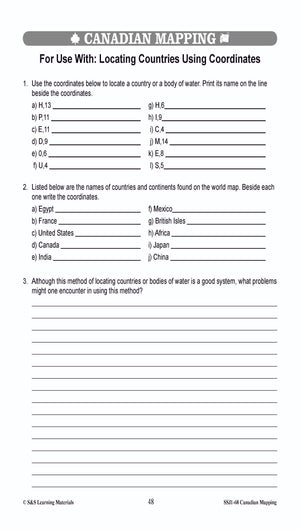
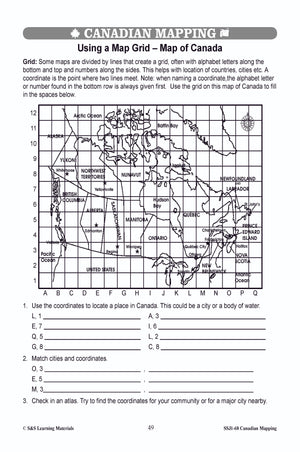


Locating Canada & Mapping Skills Worksheets Grades 4-5
$9.45 CAD
Students will learn about locating Canada and mapping skills with these forty worksheets. Teacher information on these topics: what a map is, types of maps, how to read a map, map indexes, scale, and geographic grids, hemispheres, directional indicators, and...

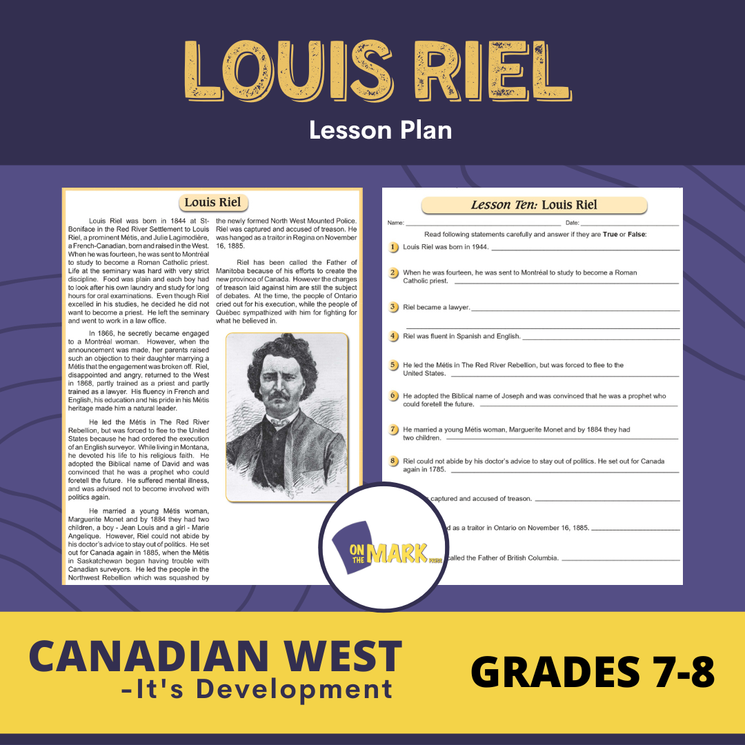

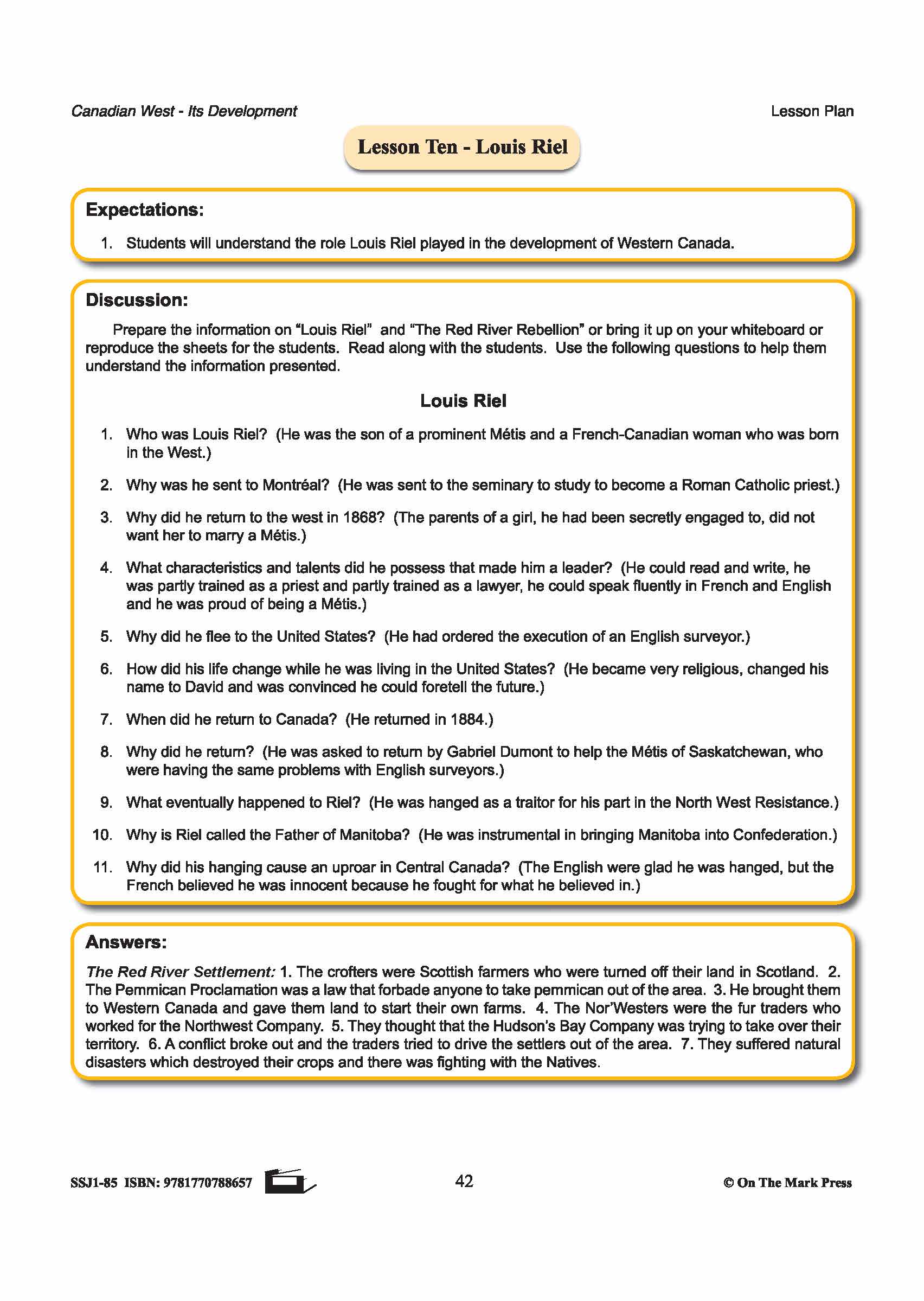

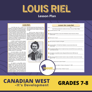
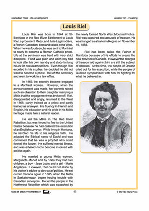
Louis Riel Lesson Plan Grades 7-8
$3.95 CAD
Students will understand the role Louis Riel played in the development of Western Canada. Includes a complete lesson plan with discussion questions for the topic, reading passage and follow-up worksheets, and answer key. 3 pages Here's what teachers are saying about this...


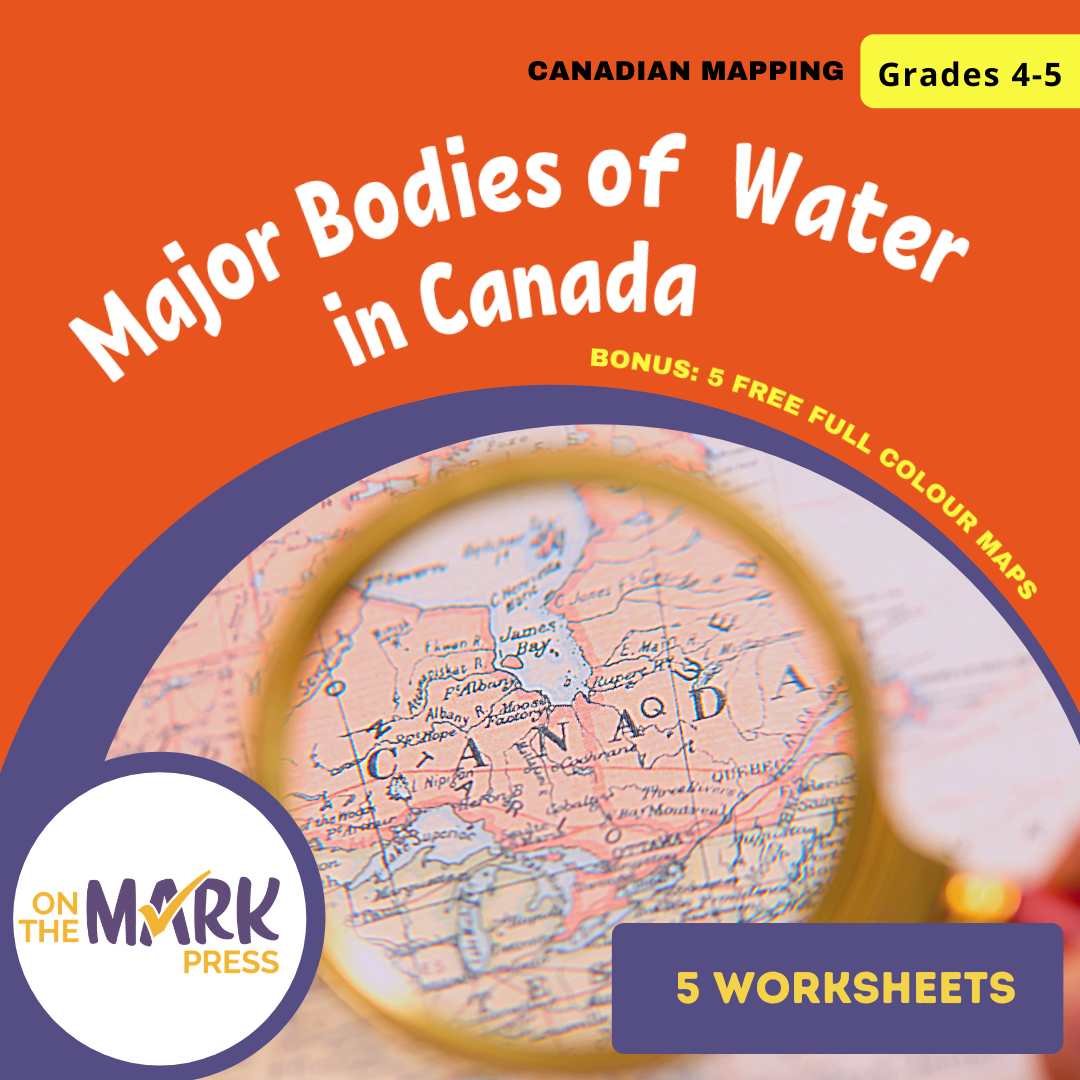
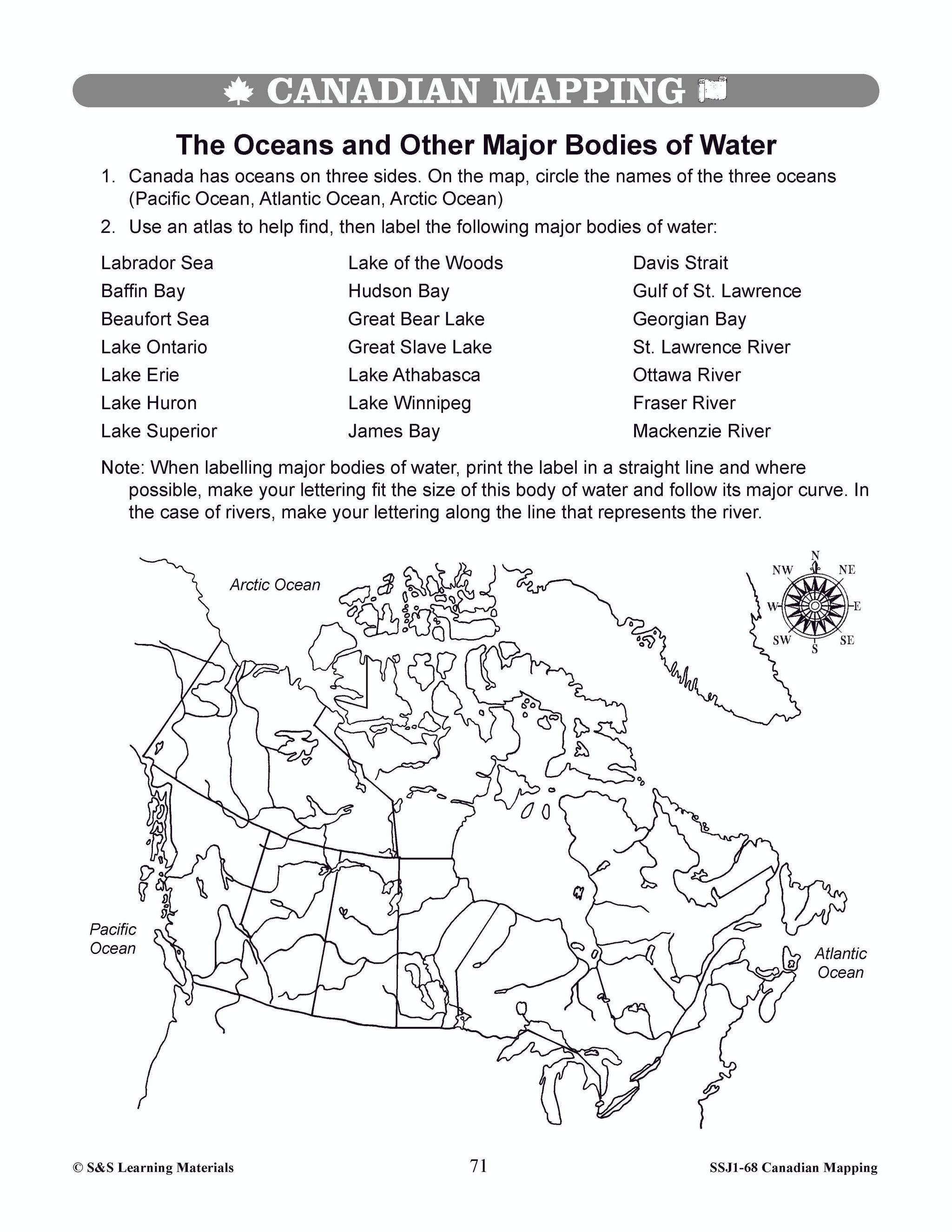
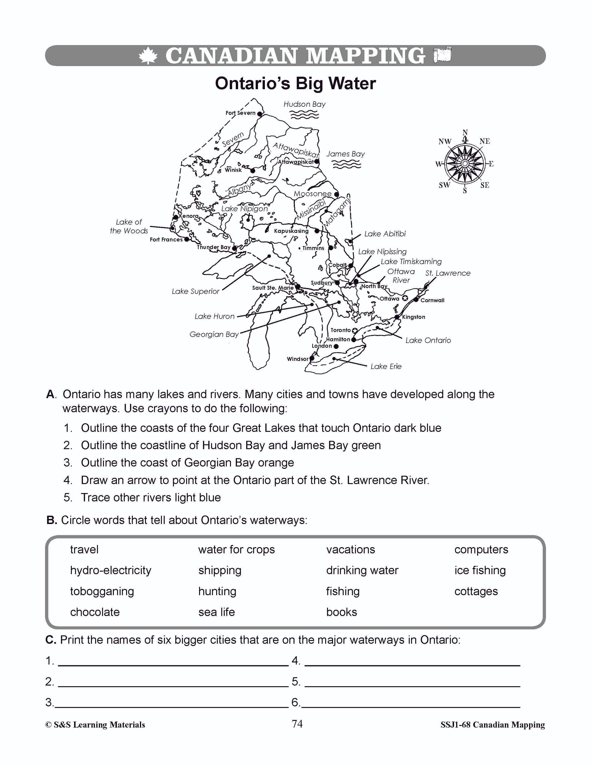


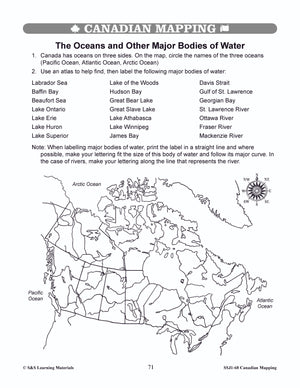


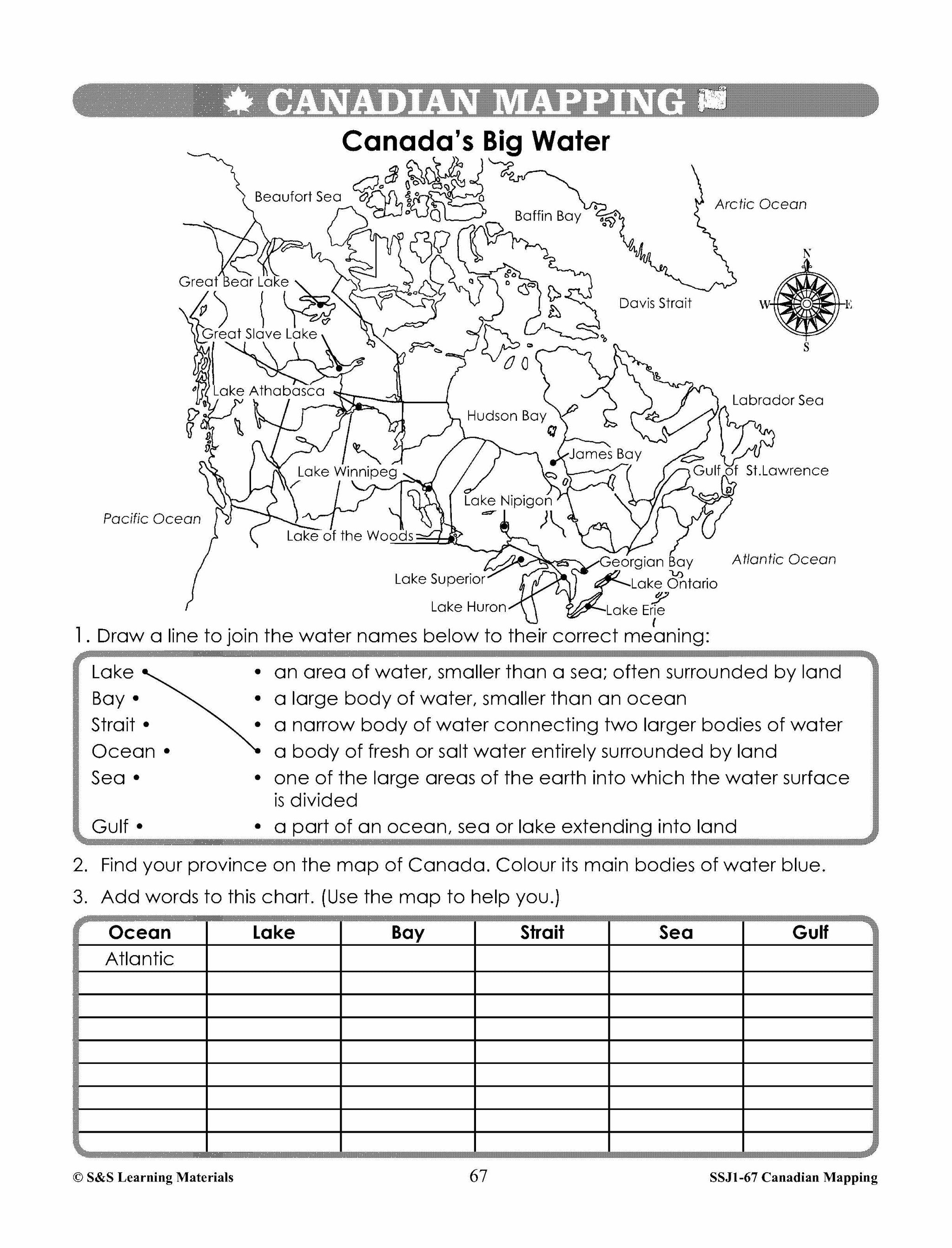
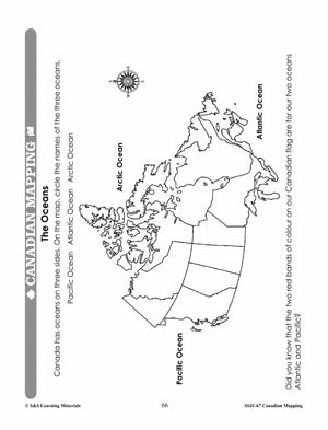
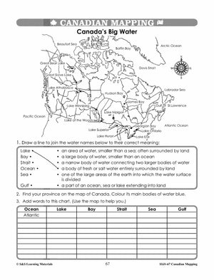
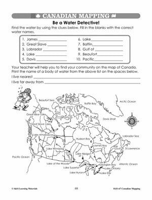
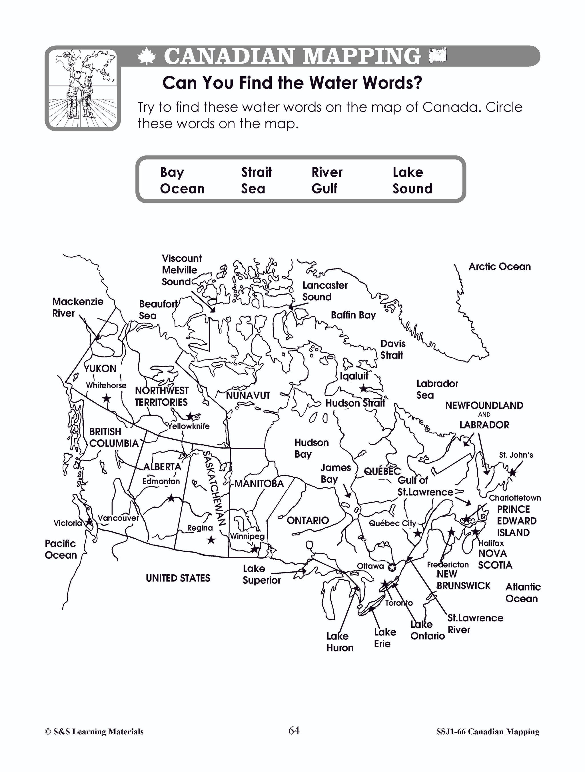
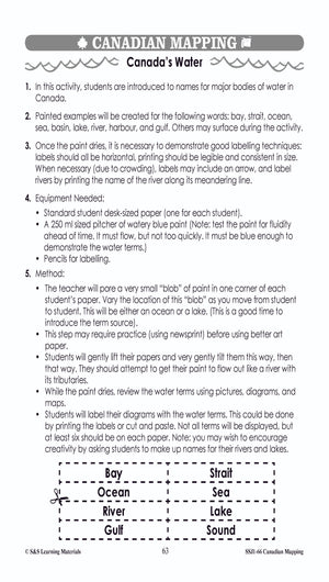
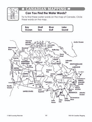
Major Bodies of Water in Canada Worksheets Grades 4-5
$7.45 CAD
Students will learn about major bodies of water in Canada with the five worksheets in this lesson. Teacher information on these topics: what a map is, types of maps, how to read a map, map indexes, scale, and geographic grids,...
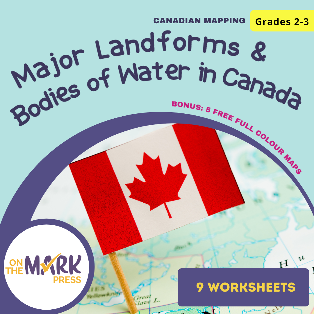


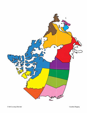
Major Landforms & Bodies of Water in Canada Mapping Worksheets Grades 2-3
$7.45 CAD
Students will learn about major landforms and bodies of water in Canada with the nine worksheets. Teacher information on these topics: what a map is, types of maps, how to read a map, map indexes, hemispheres, directional indicators, and map...

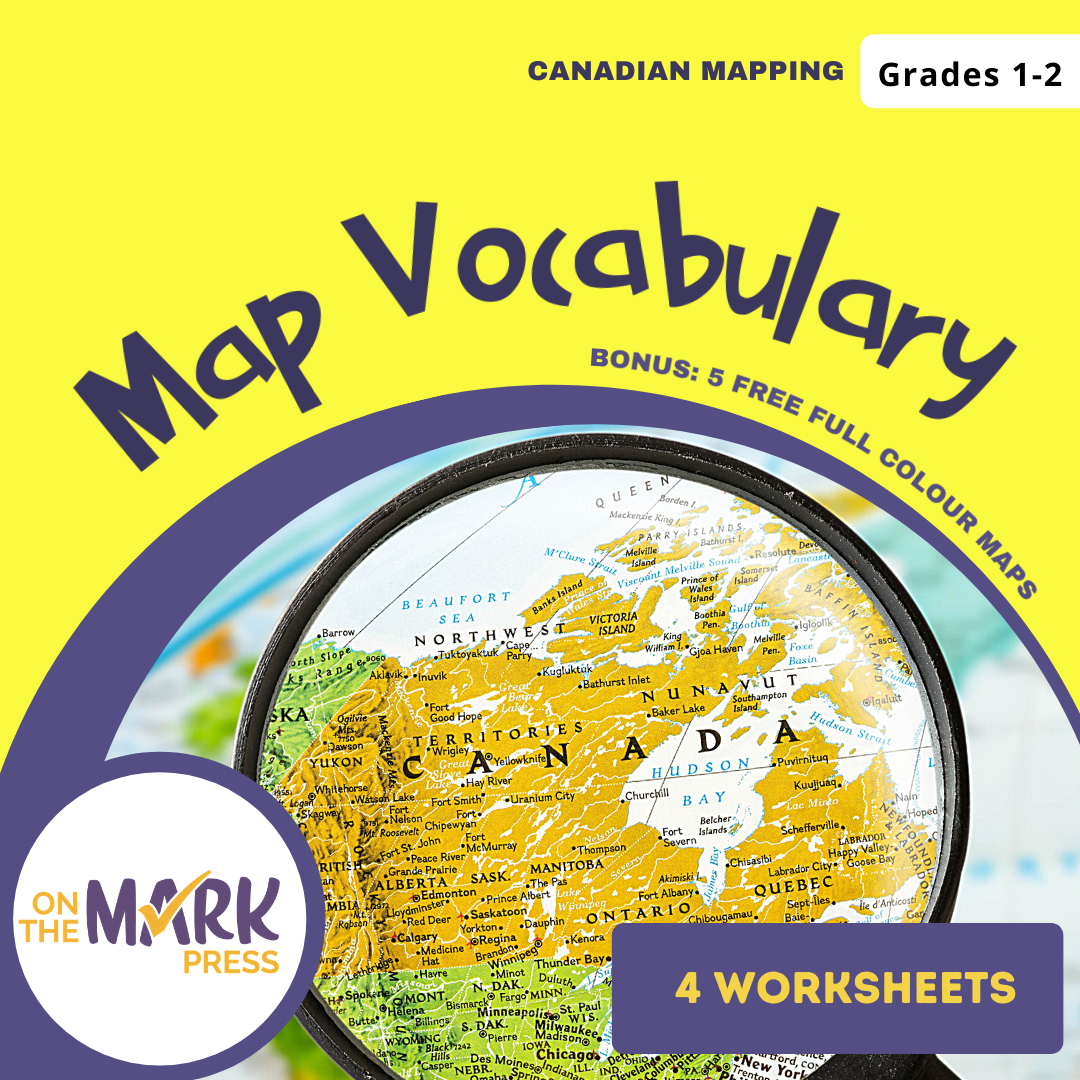

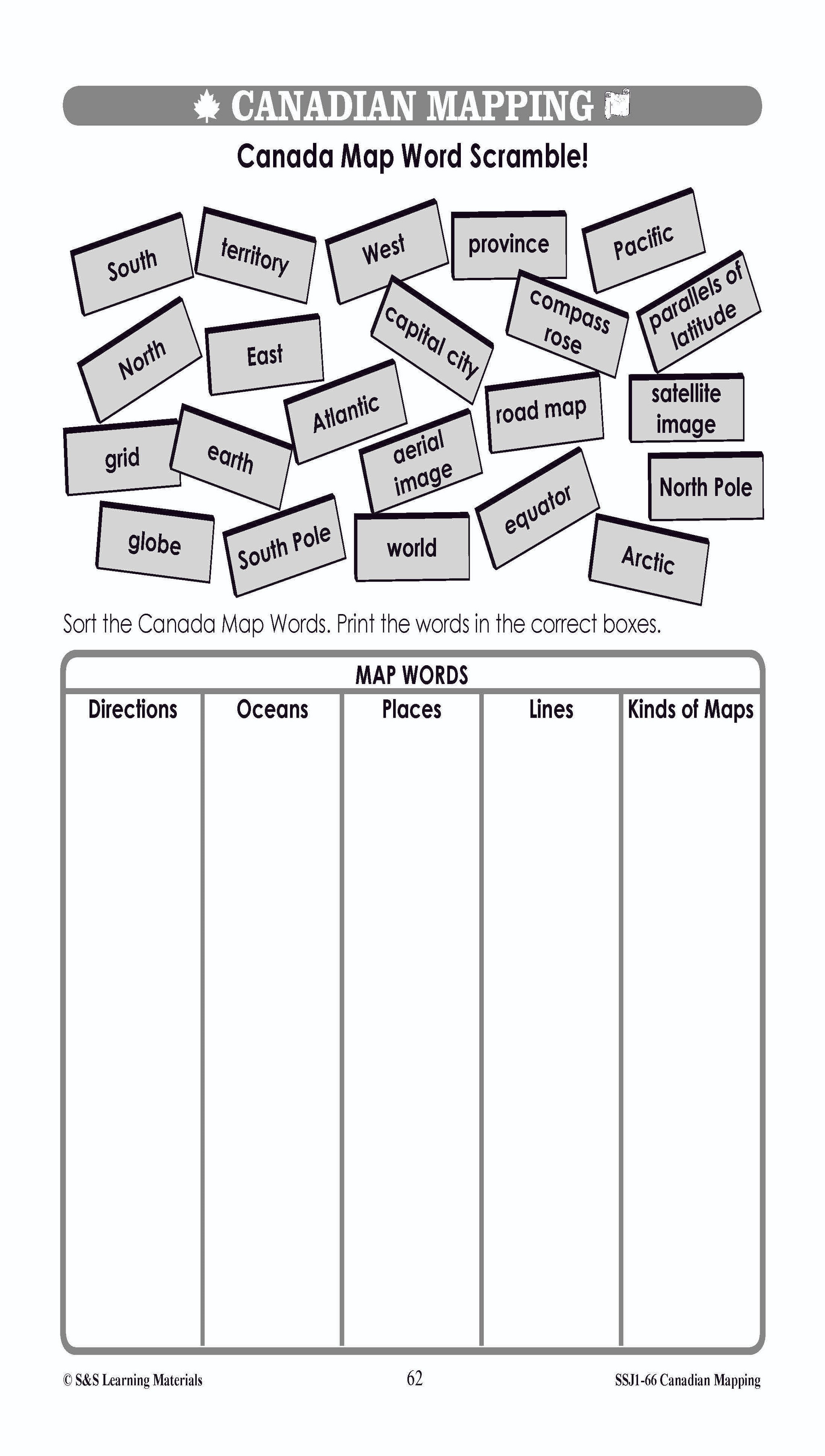


Map Vocabulary Worksheets Grades 1-2
$7.25 CAD
Students will learn map vocabulary with the 4 worksheets. Teacher information on these topics: what a map is, types of maps, how to read a map, map indexes, hemispheres, directional indicators, and map symbols. The glossary of geographic terms can...


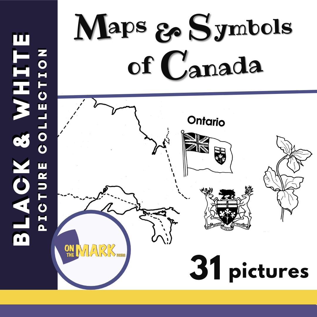


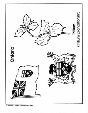
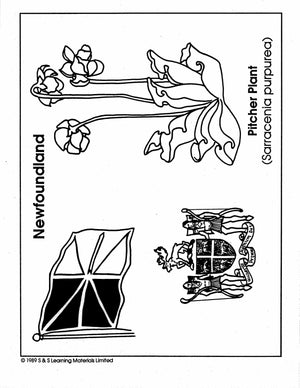
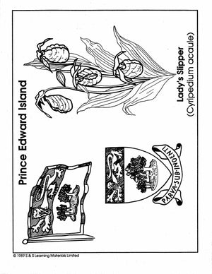
Maps & Symbols of Canada Black & White Picture Collection Grades K-8
$13.99 CAD
31 black and white illustrations ranging from The World, North America, Newfoundland, Nova Scotia, Prince Edward Island, Quebec and New Brunswick plus many more. This collection can be easily integrated into any area of the curriculum. Uses for the illustrations:...


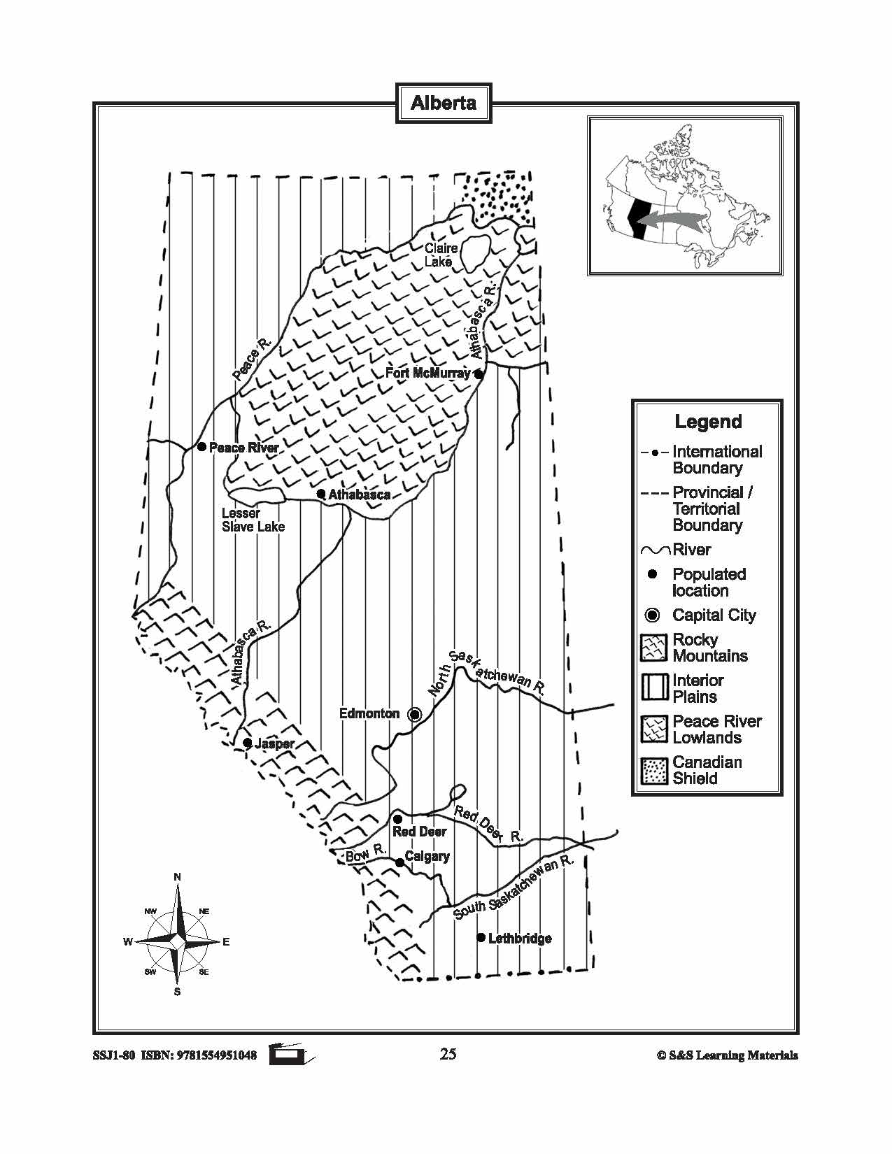


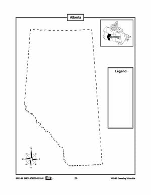
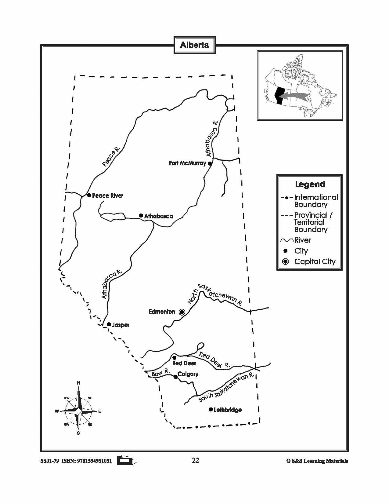
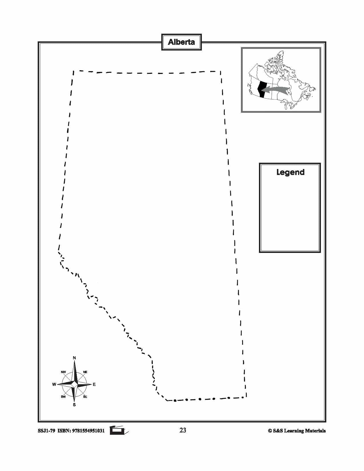
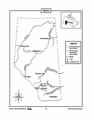
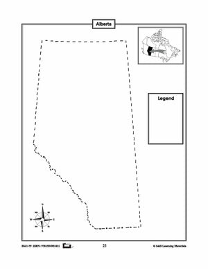
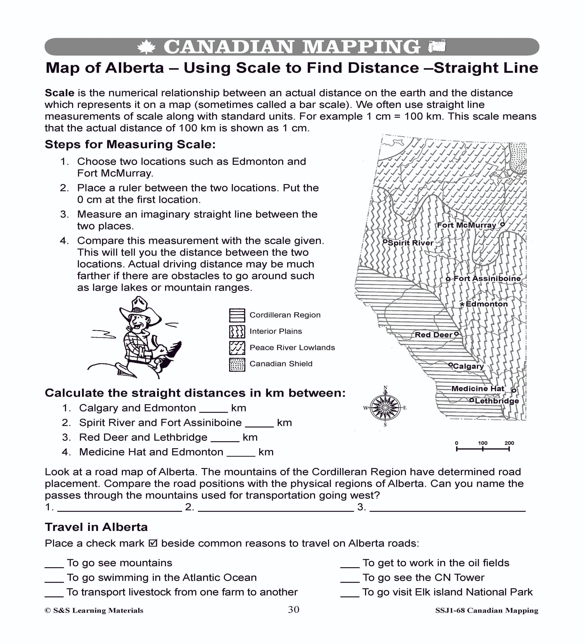
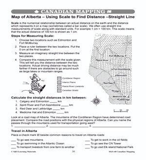
Maps of Alberta Grades 4-8
$3.45 CAD
The maps will help students learn about Alberta and its international and provincial/territorial boundary, rivers, landforms, the capital city, and other cities. 2 pages
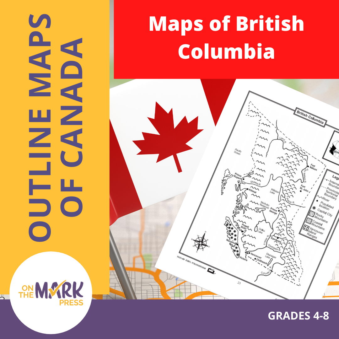


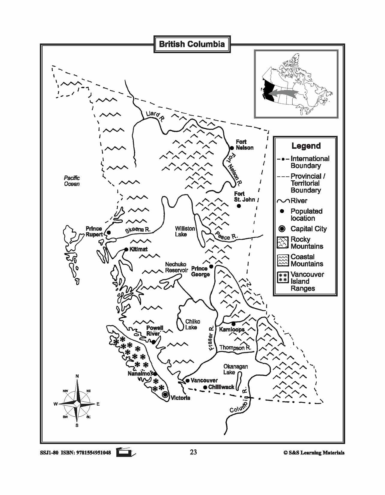

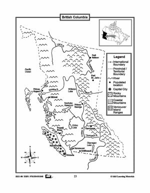
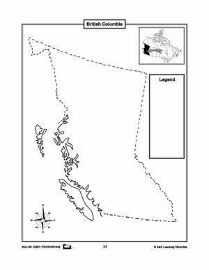
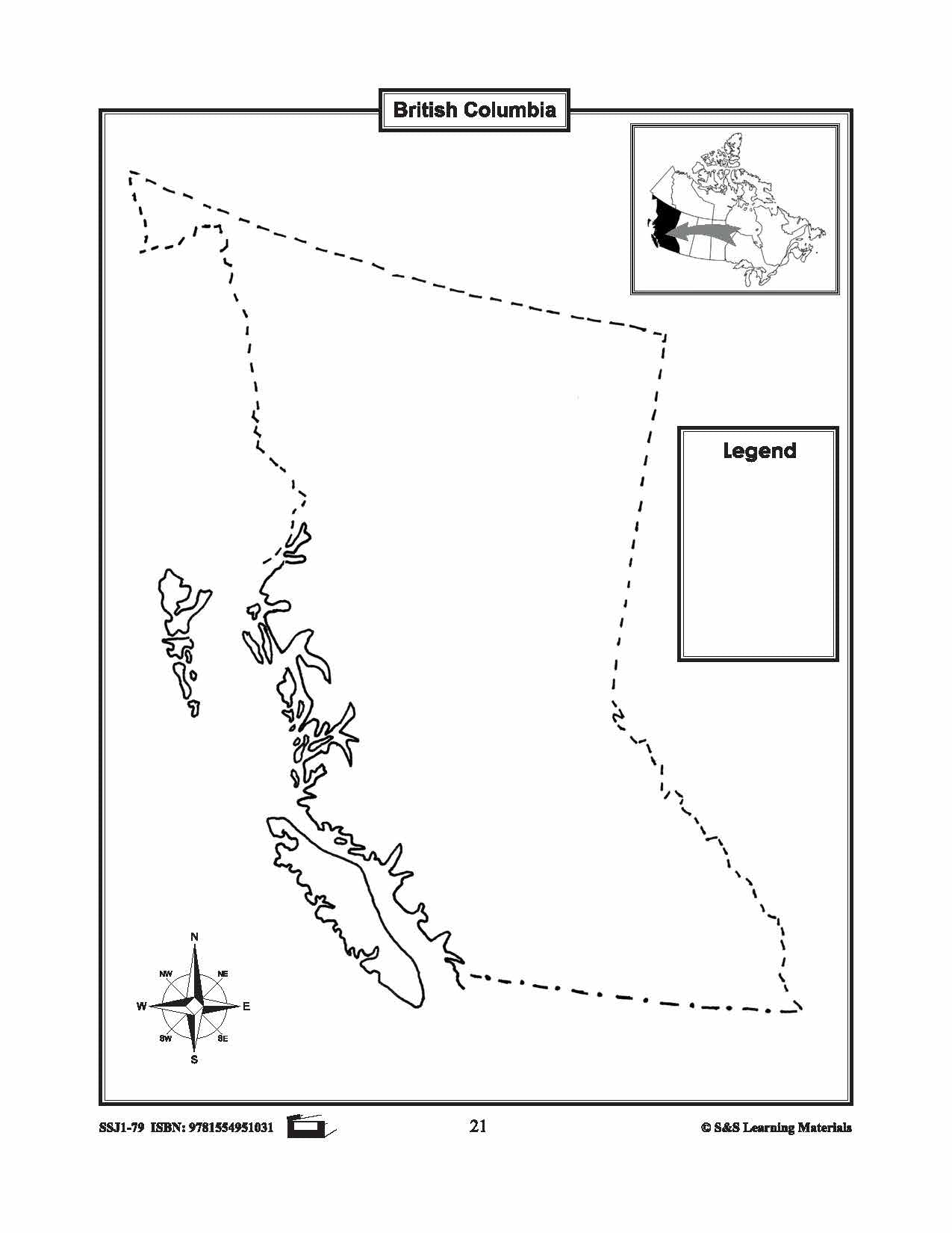
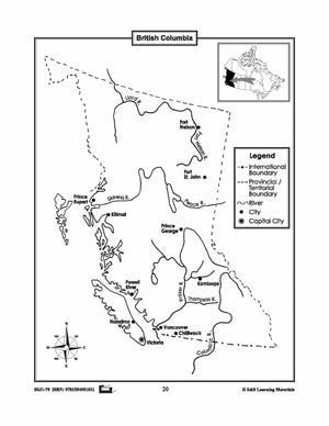
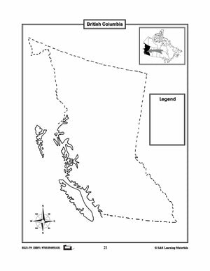
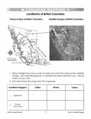
Maps of British Columbia Grades 4-8
$3.45 CAD
The maps will help students learn about British Columbia and its international and provincial/territorial boundary, rivers, landforms, the capital city, and other cities. 2 pages


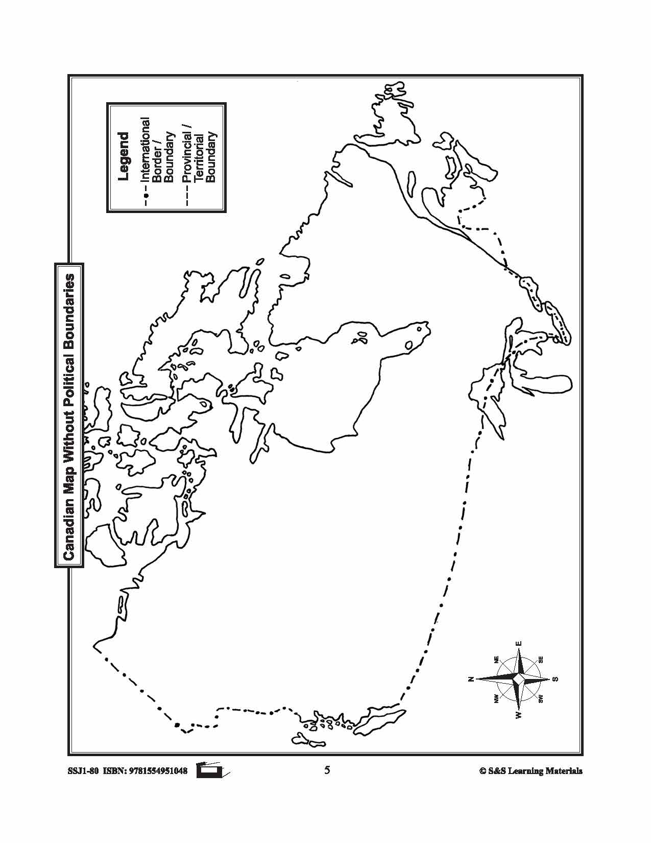
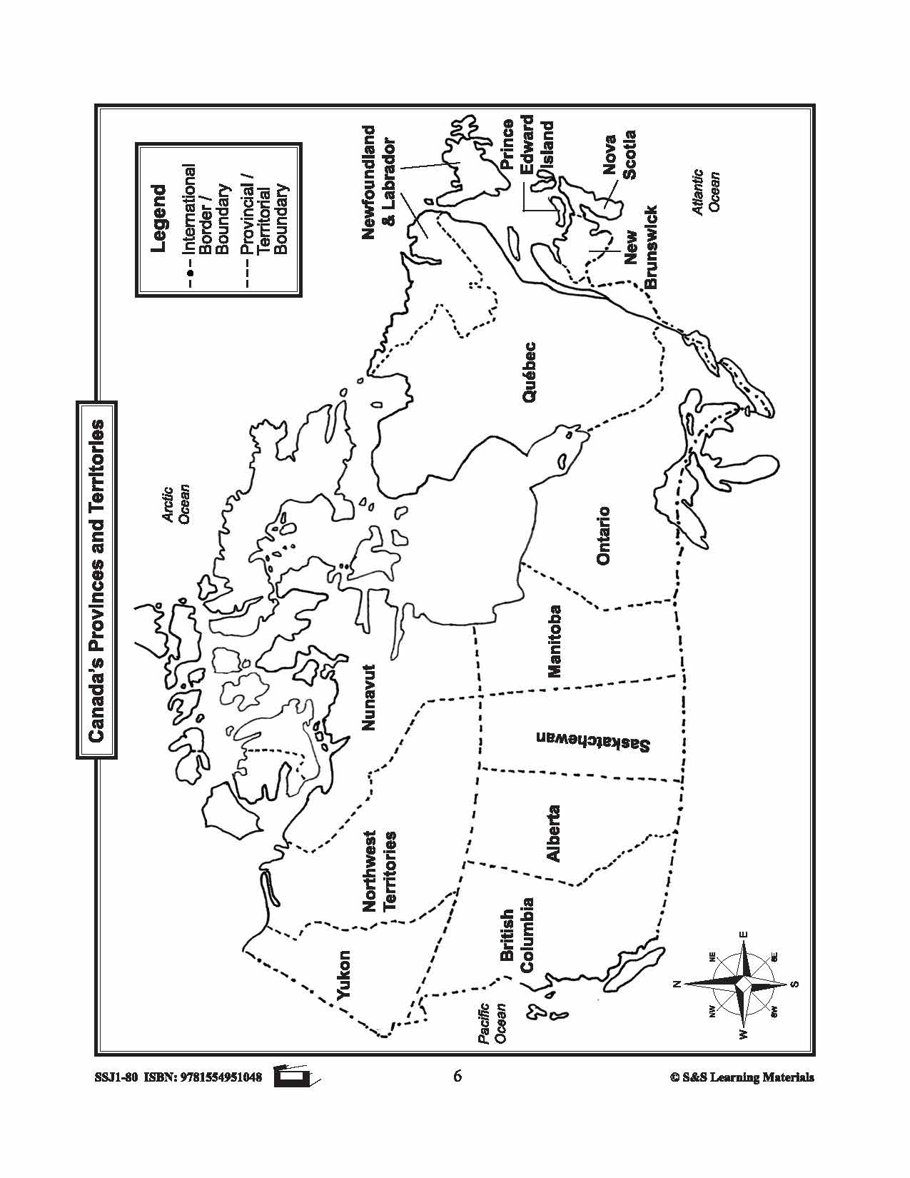
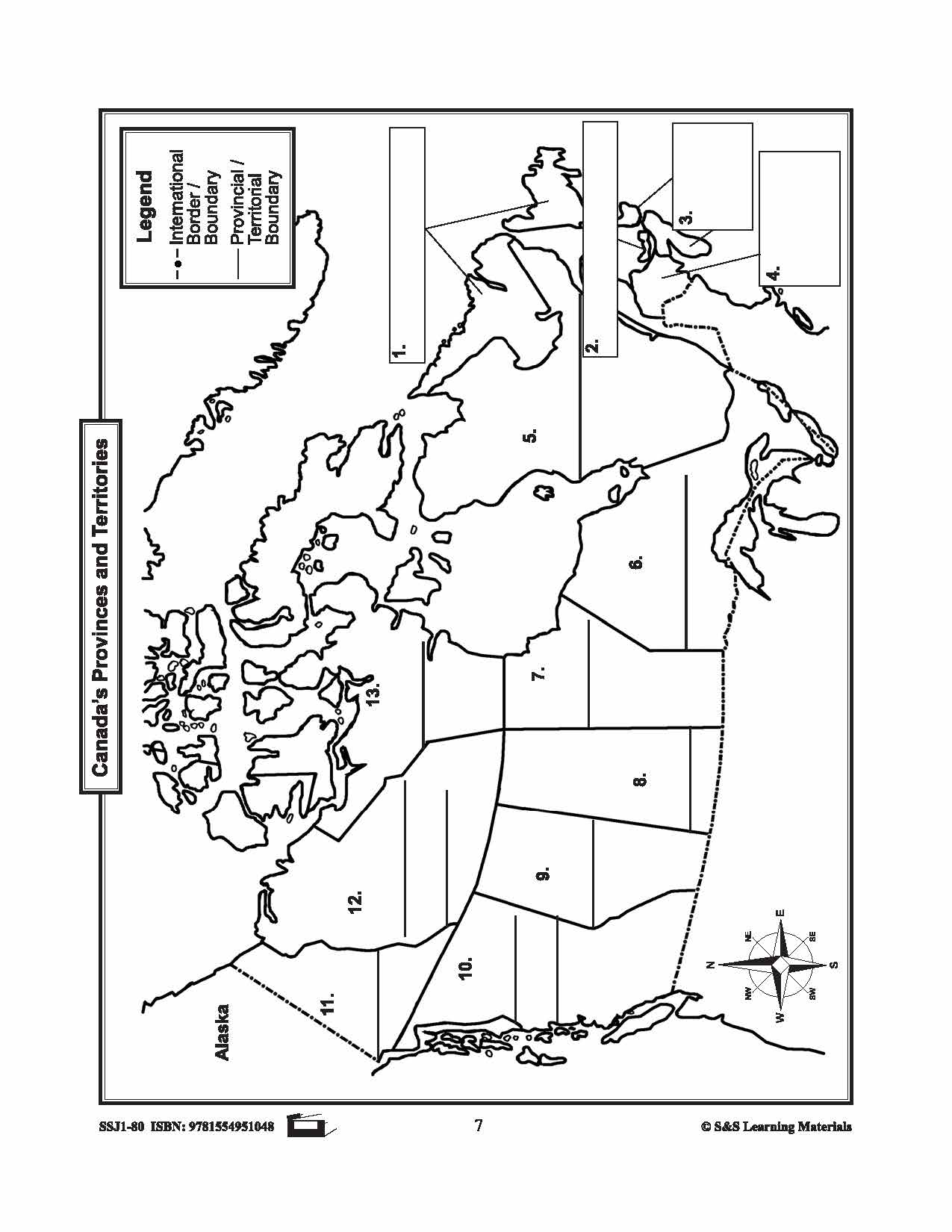
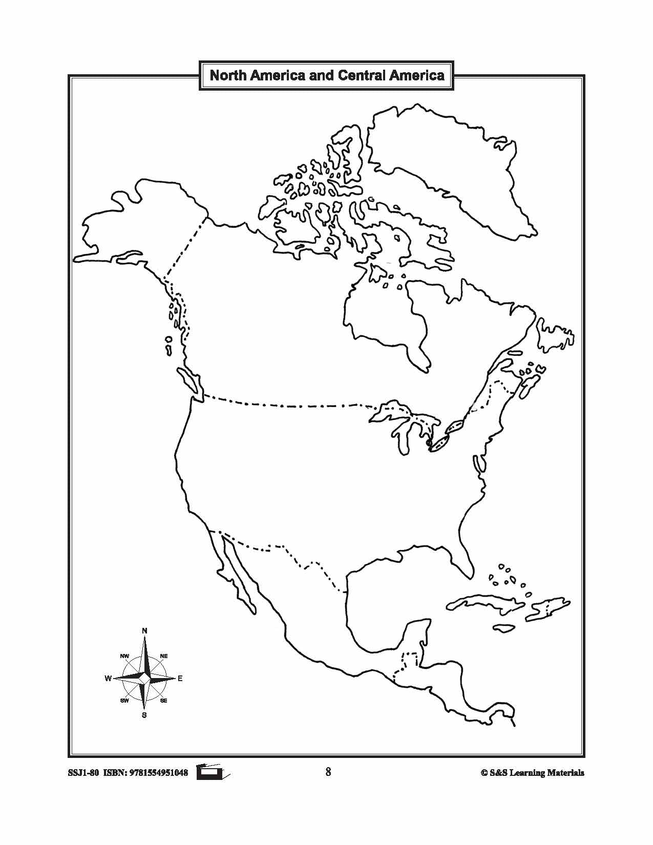
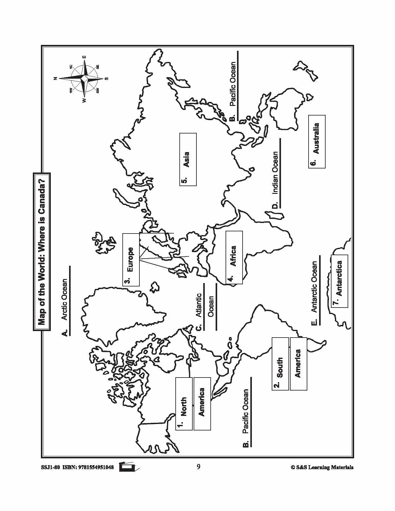
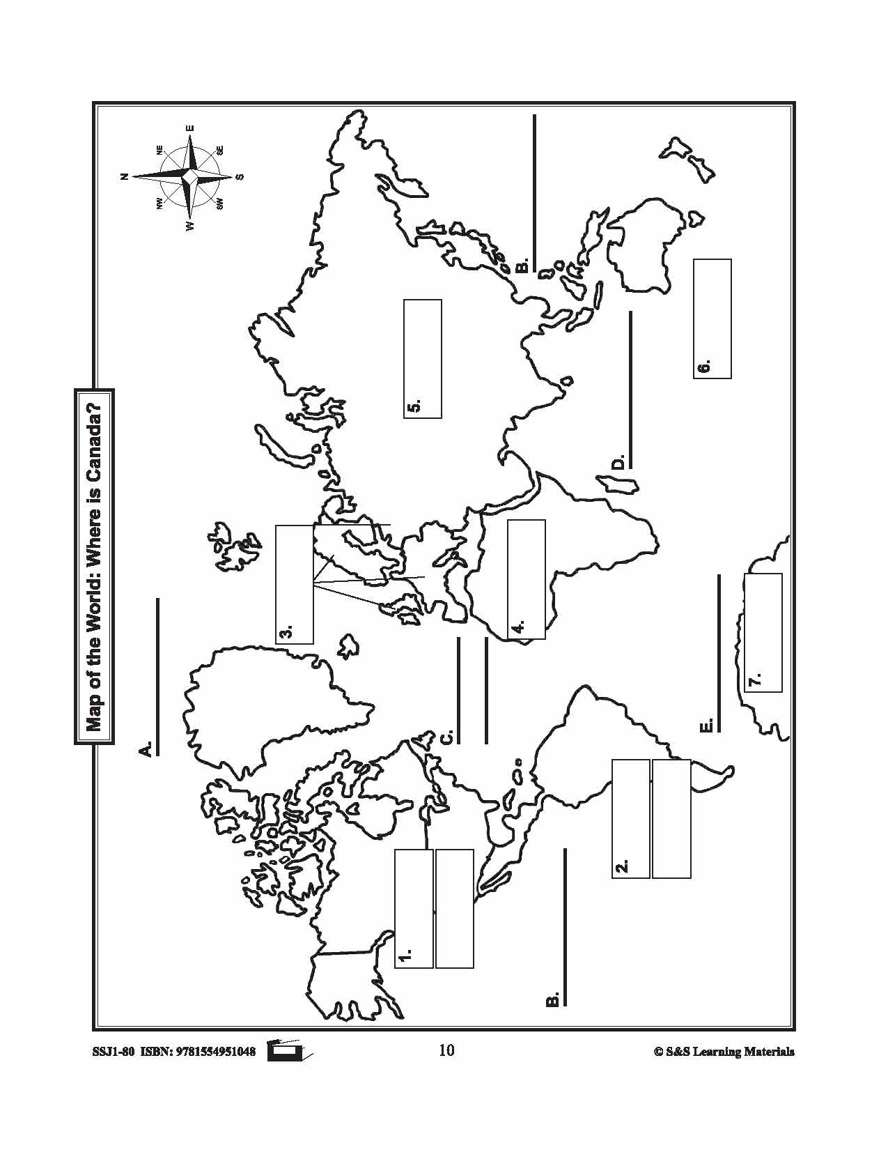

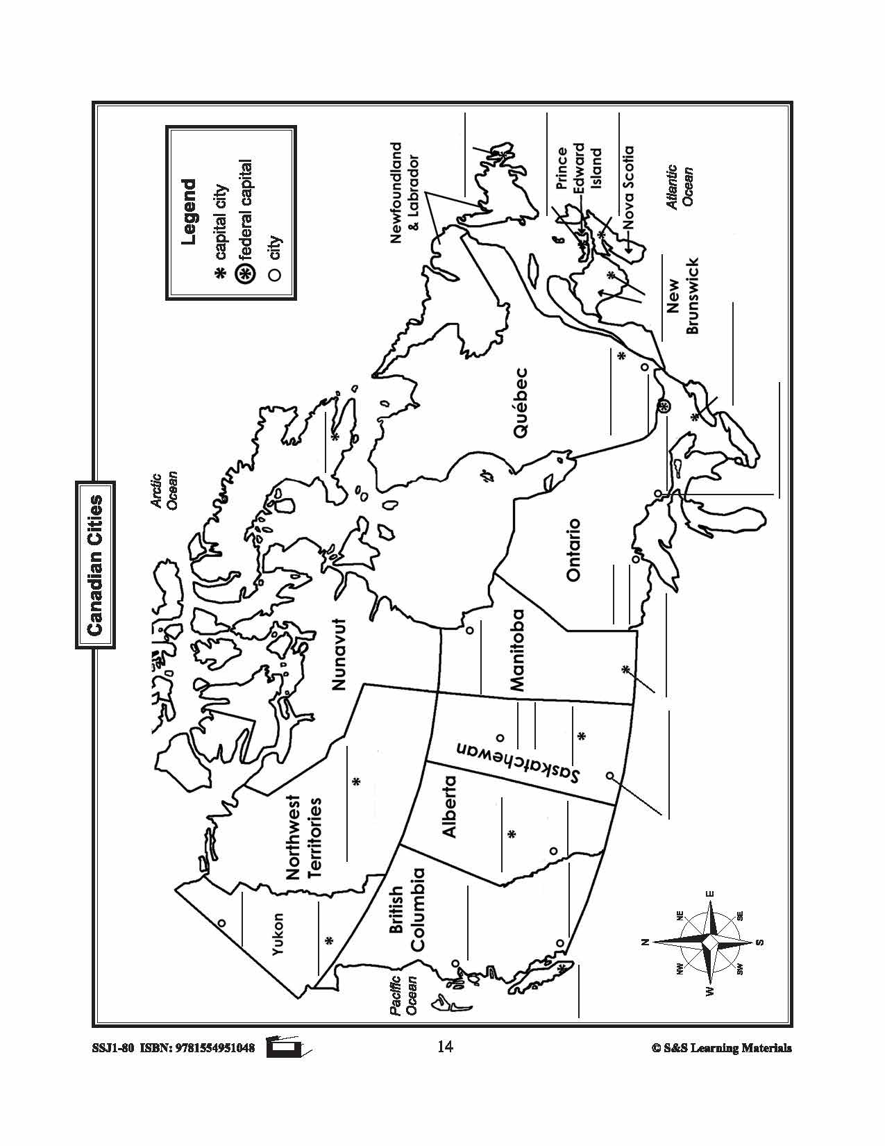
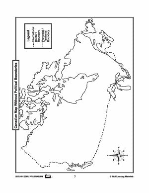
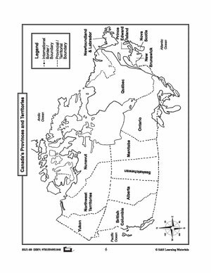


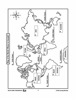


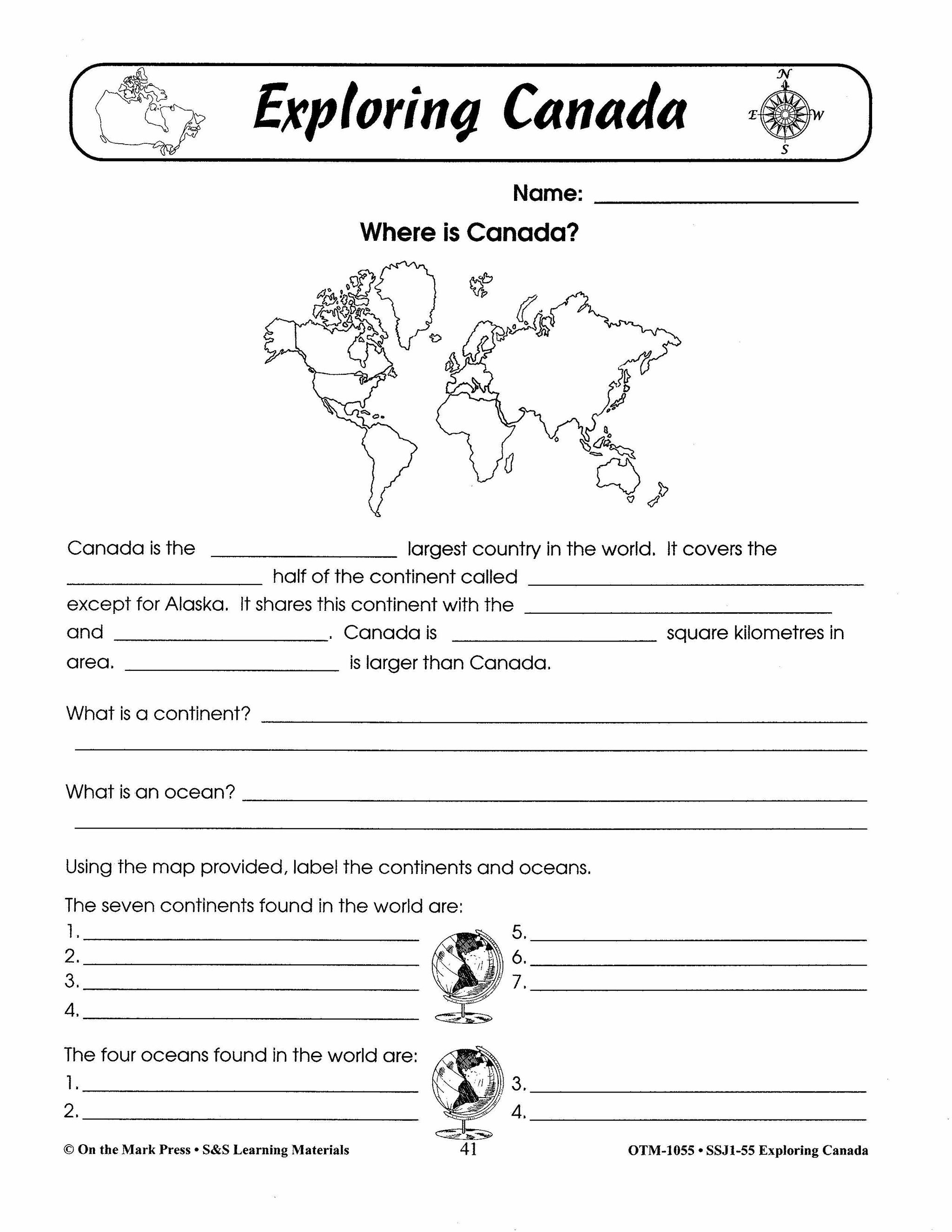
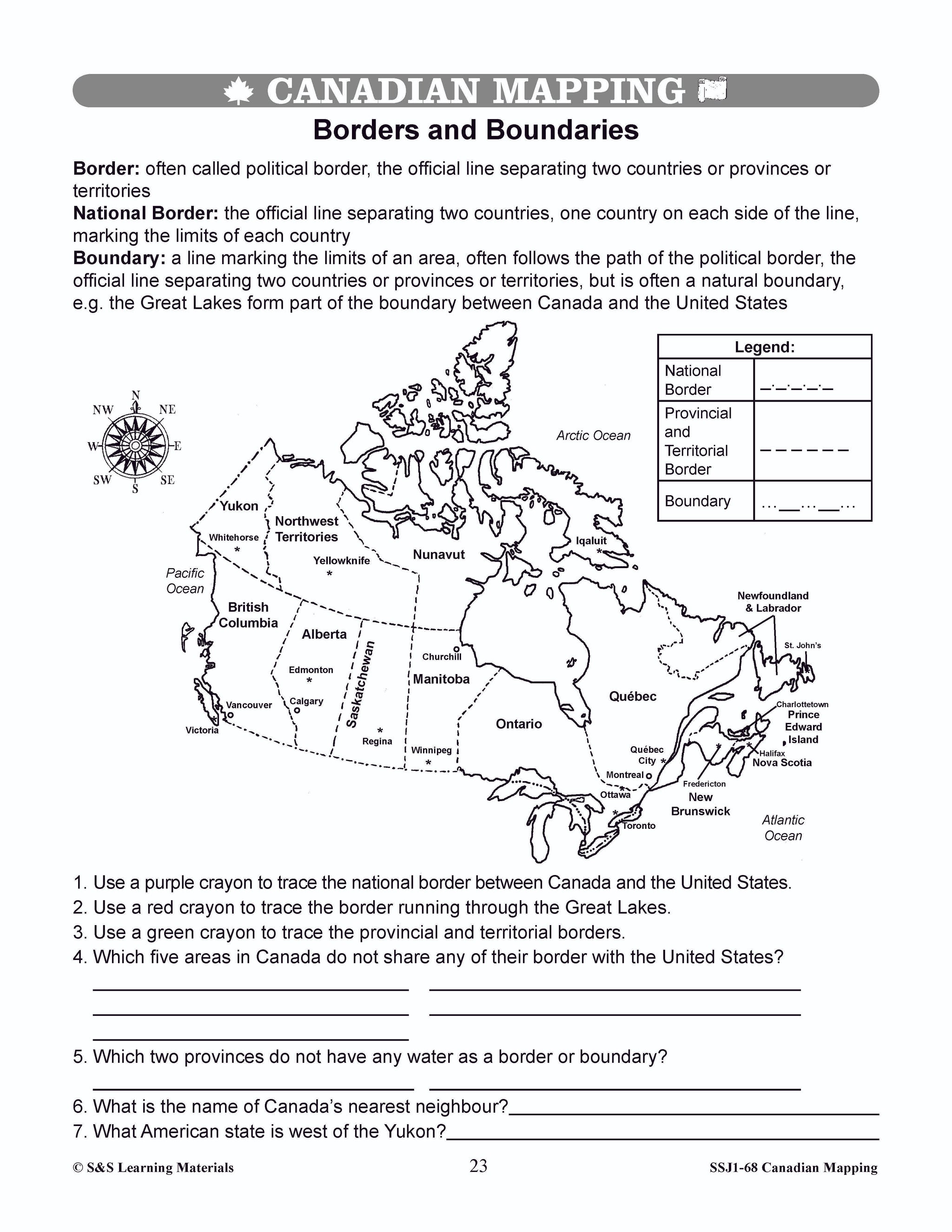
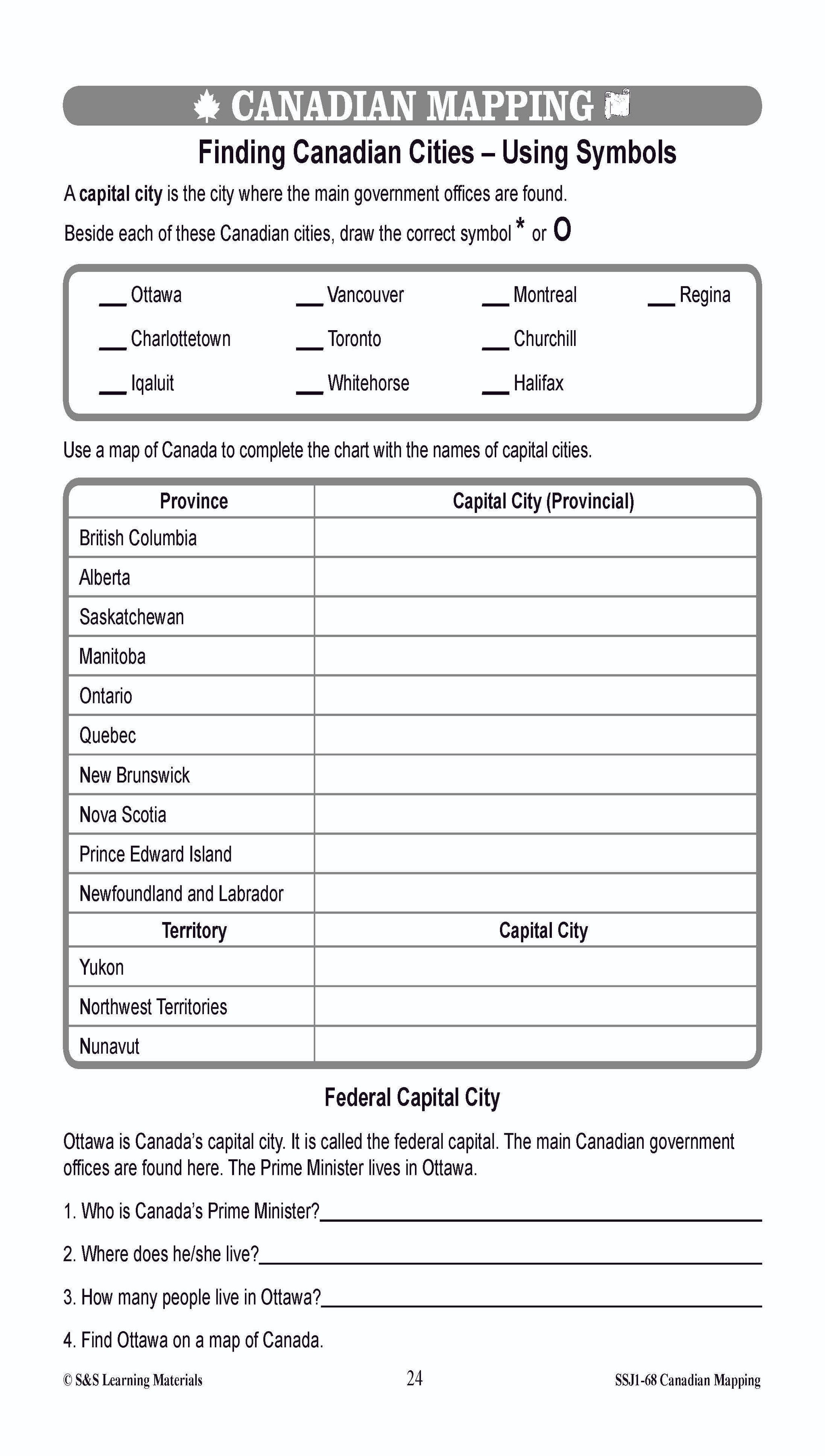
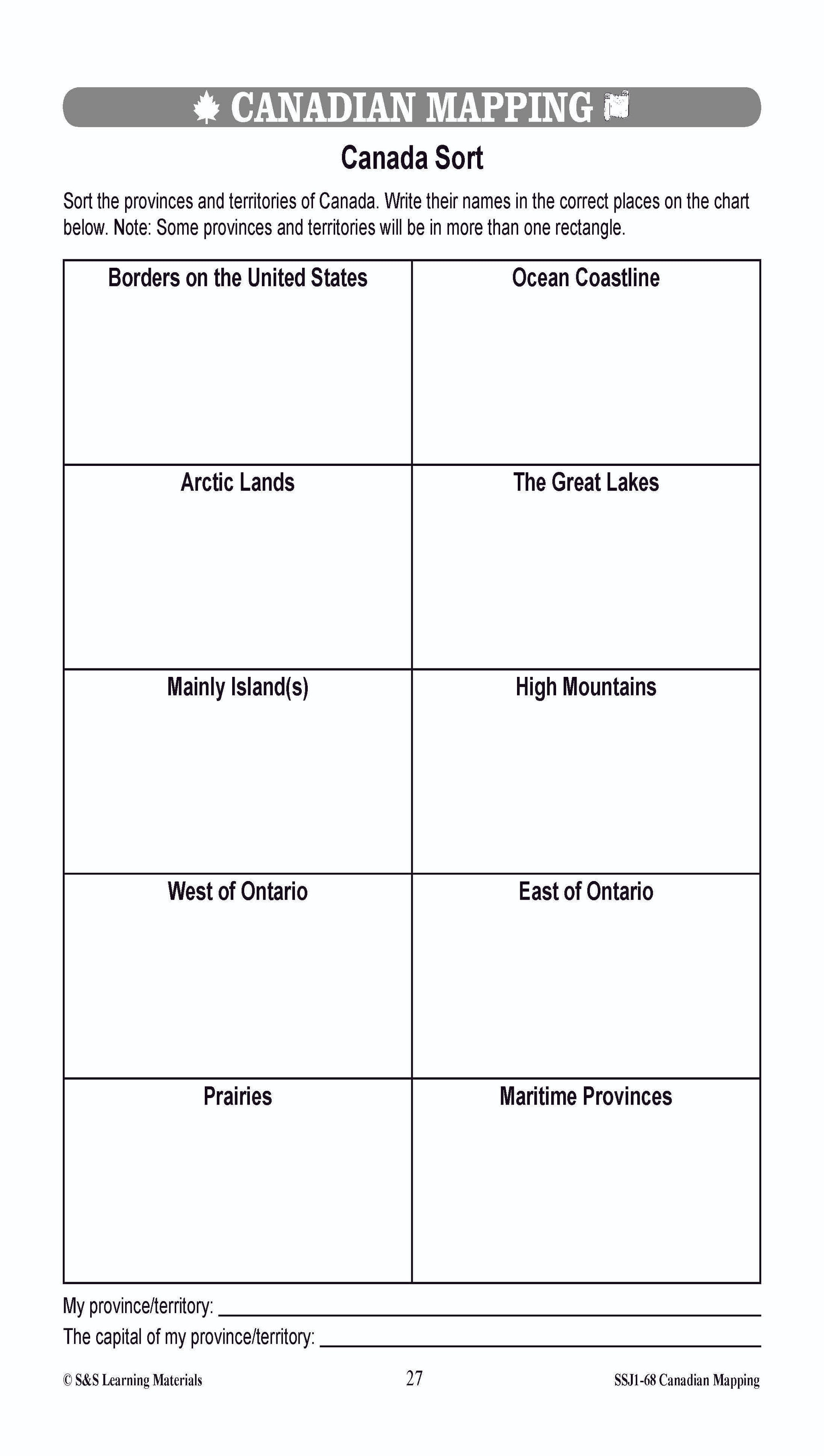
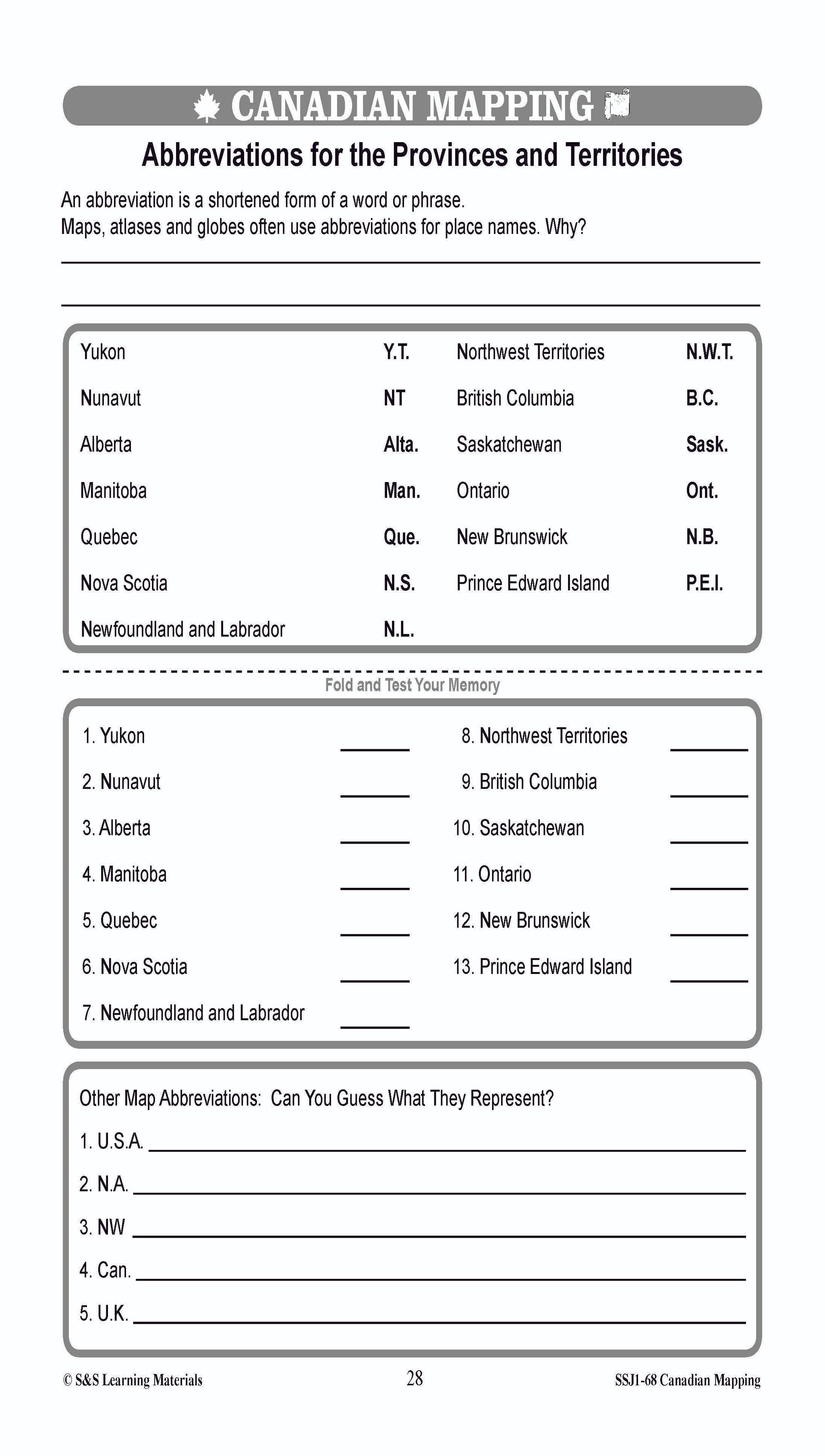
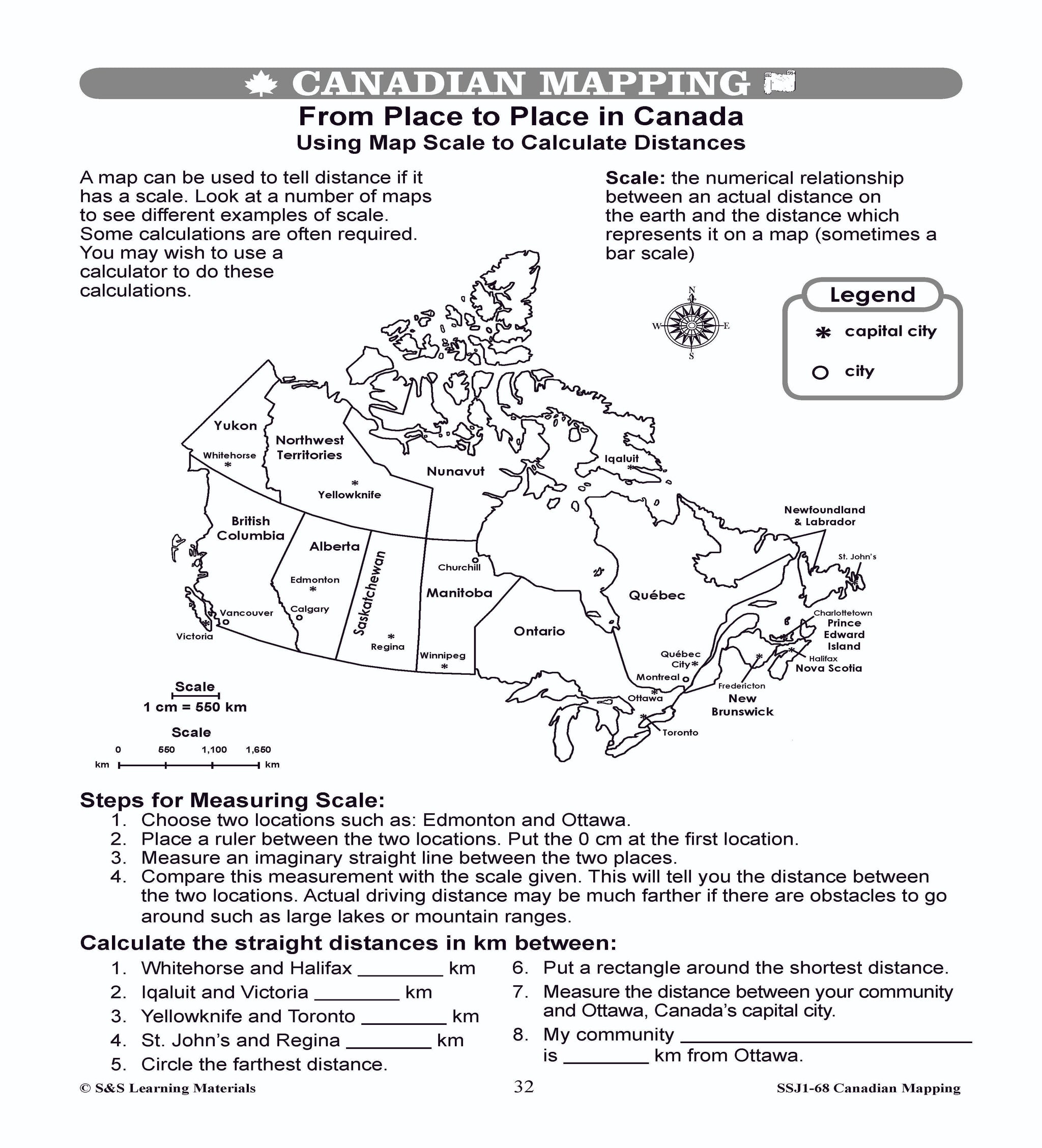
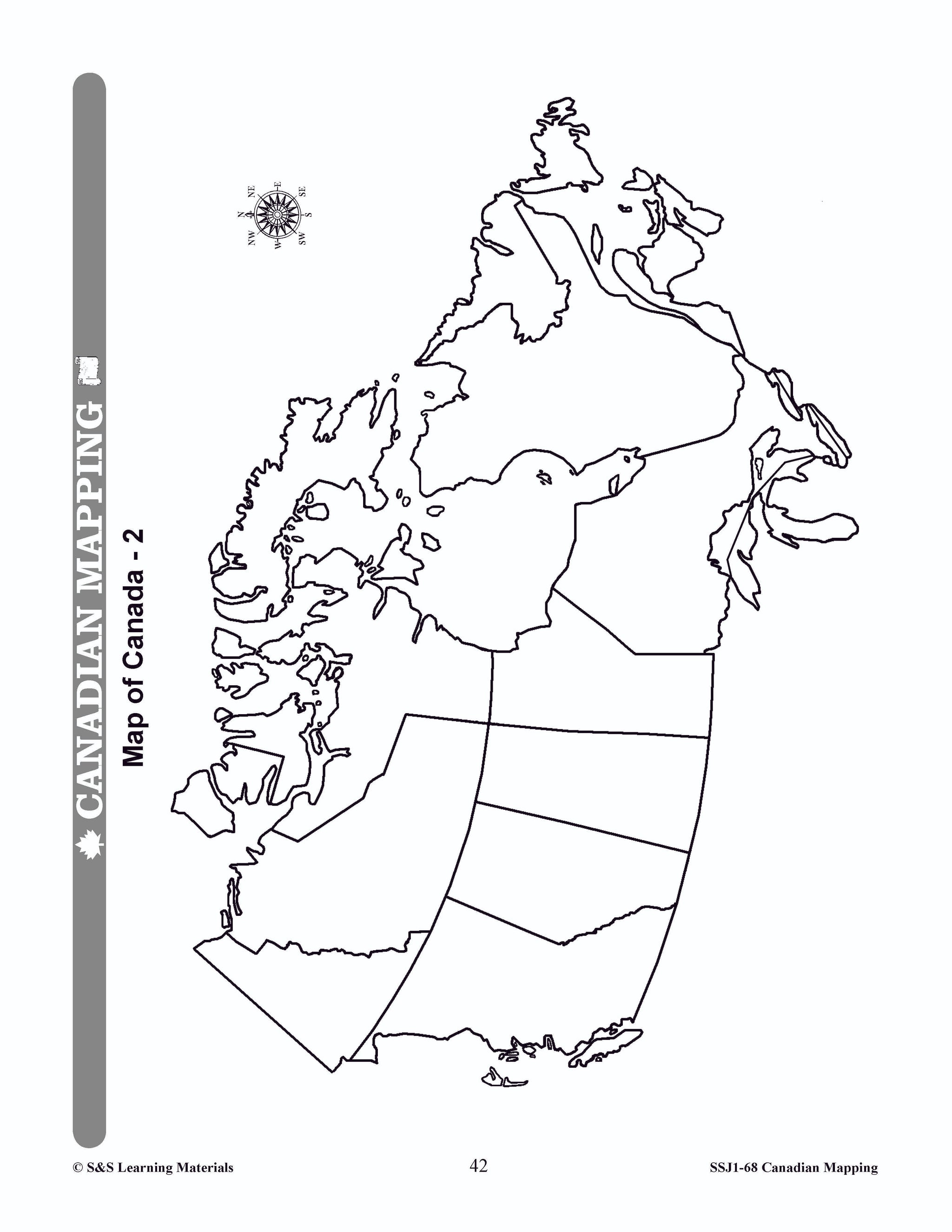
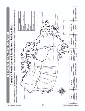
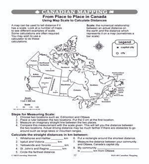
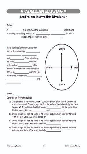
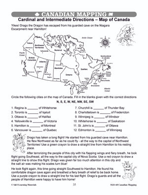
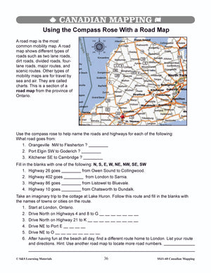
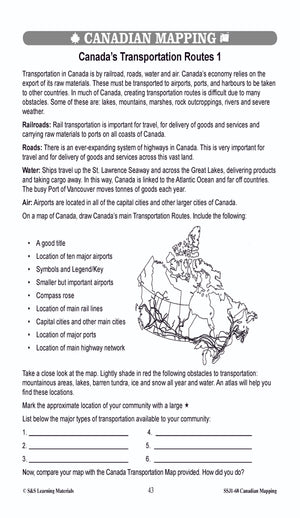
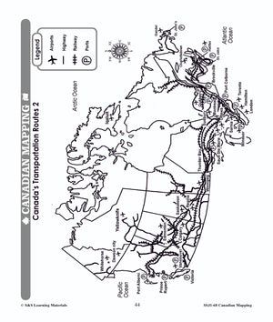
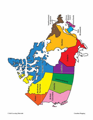
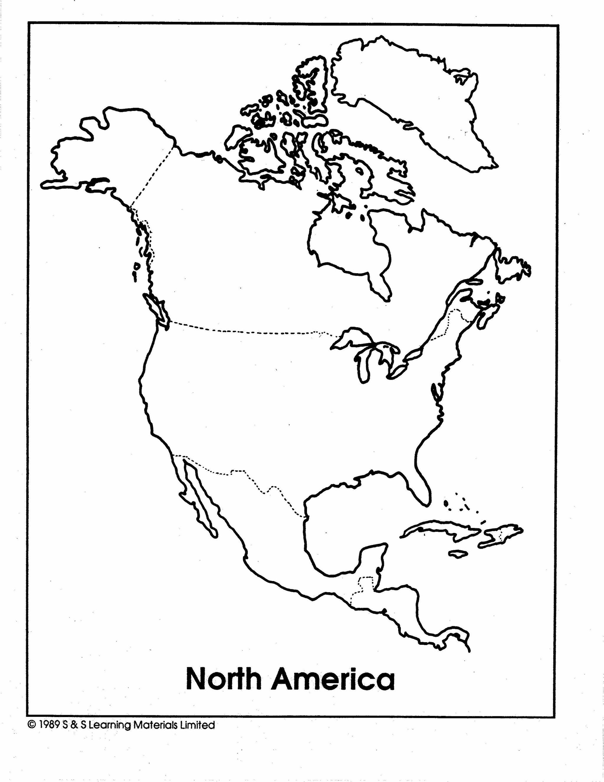
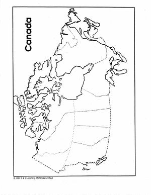
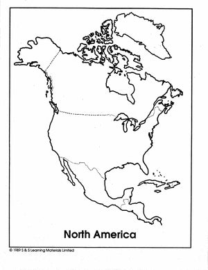
Maps of Canada Grades 4-8
$6.95 CAD
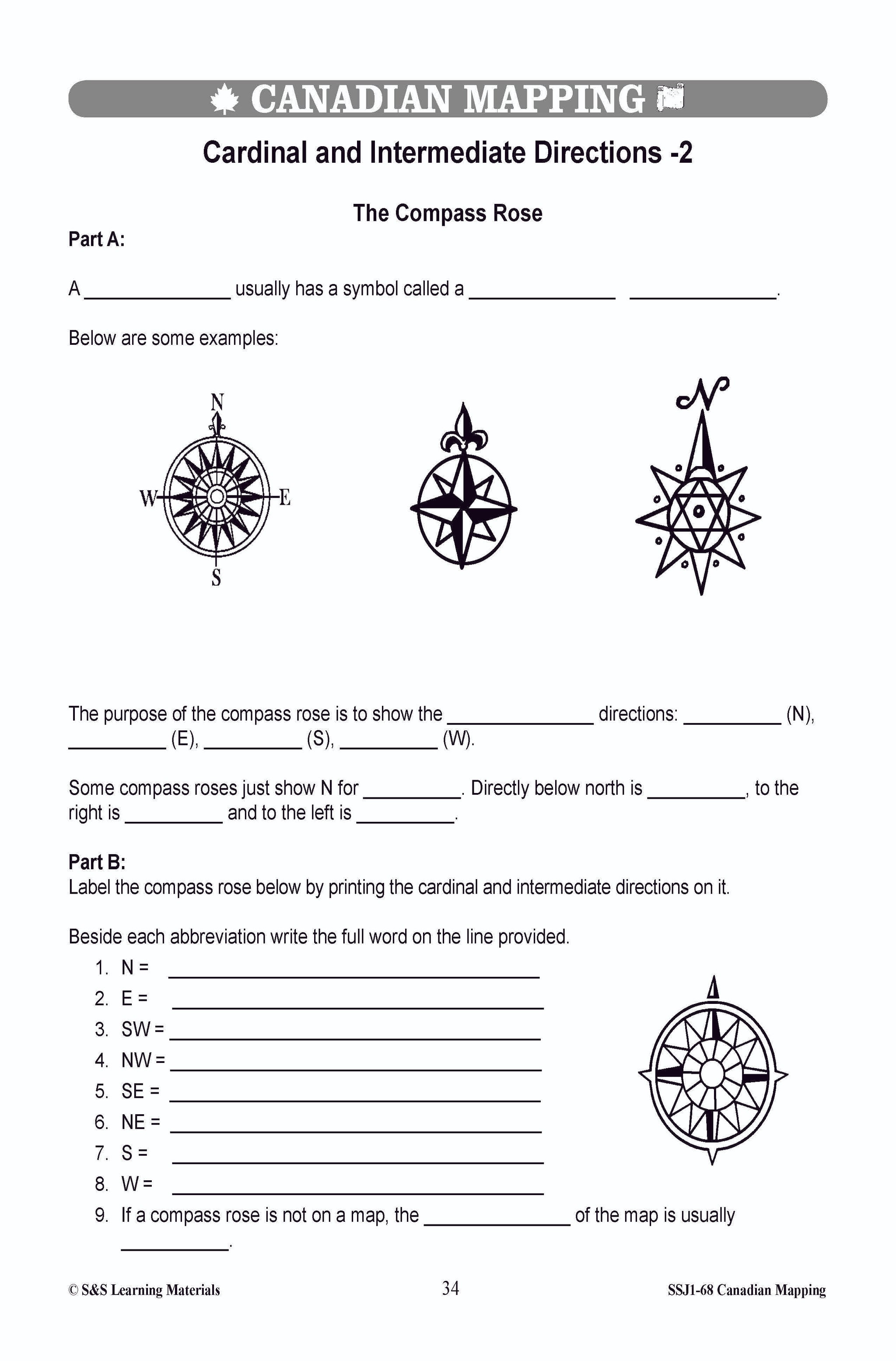
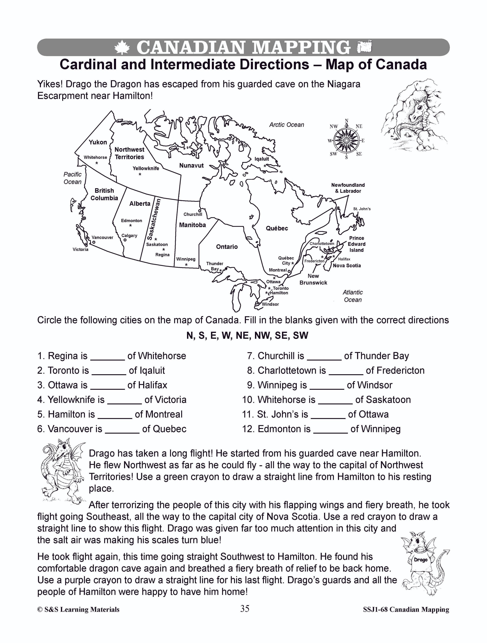
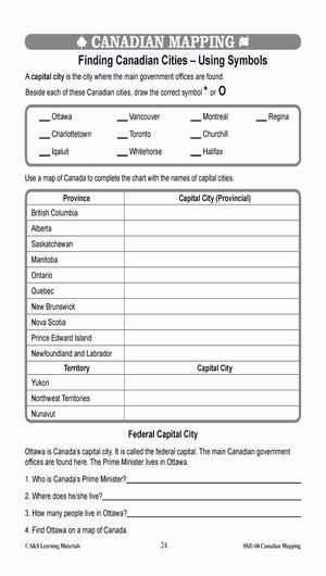
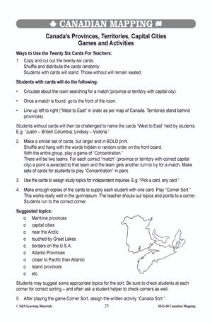
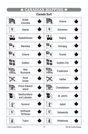
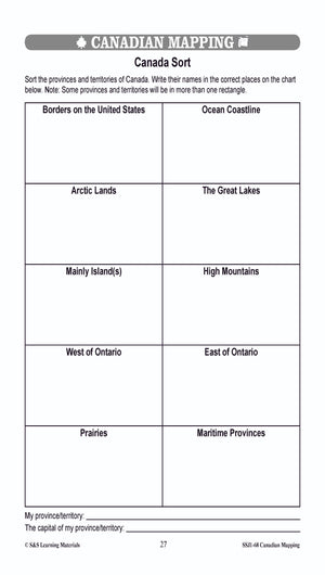
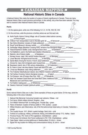
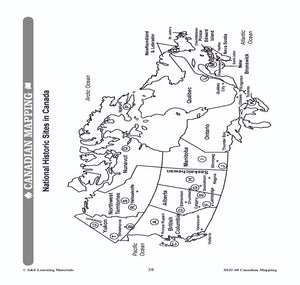
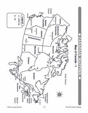
The maps can be used to teach or review the use of directions on a compass rose, symbols on a legend, and mapping terms such as border, boundary, and hemisphere. They will help students: recognize the shape of Canada locate...

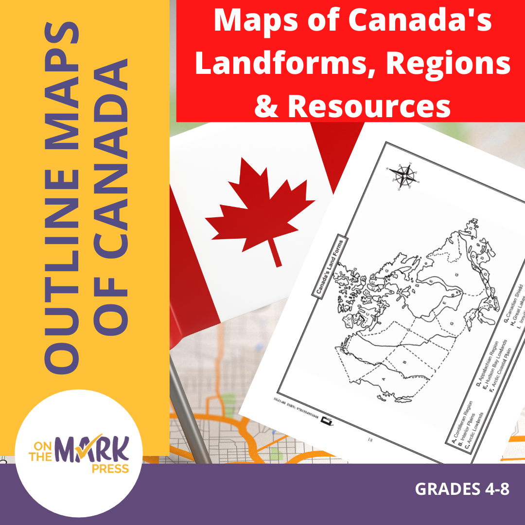

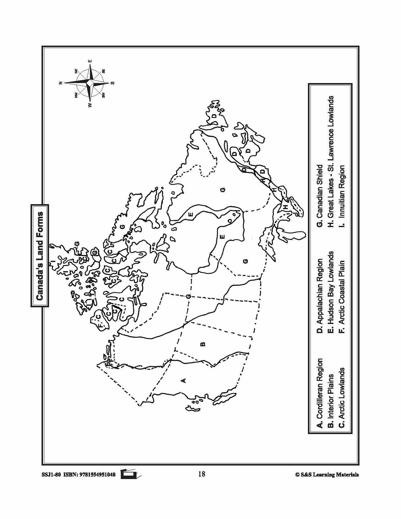
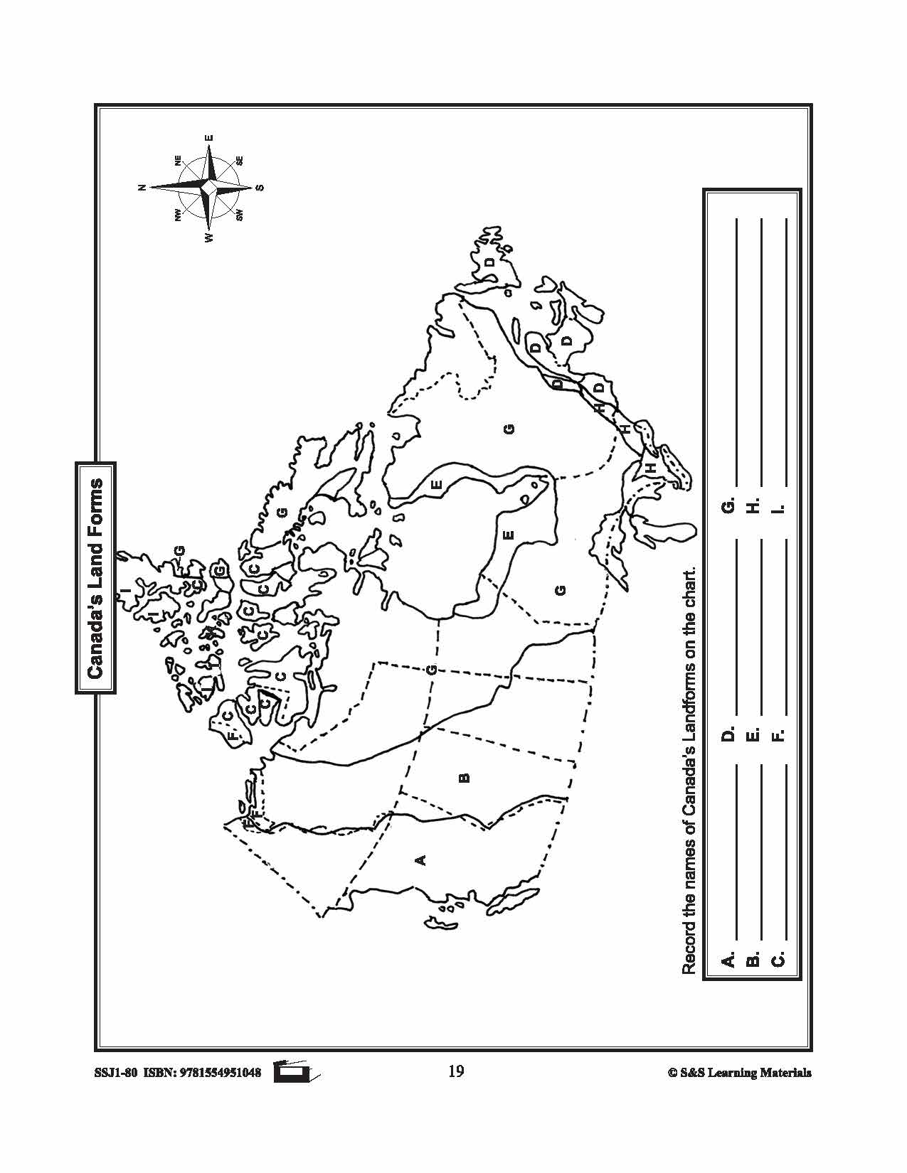
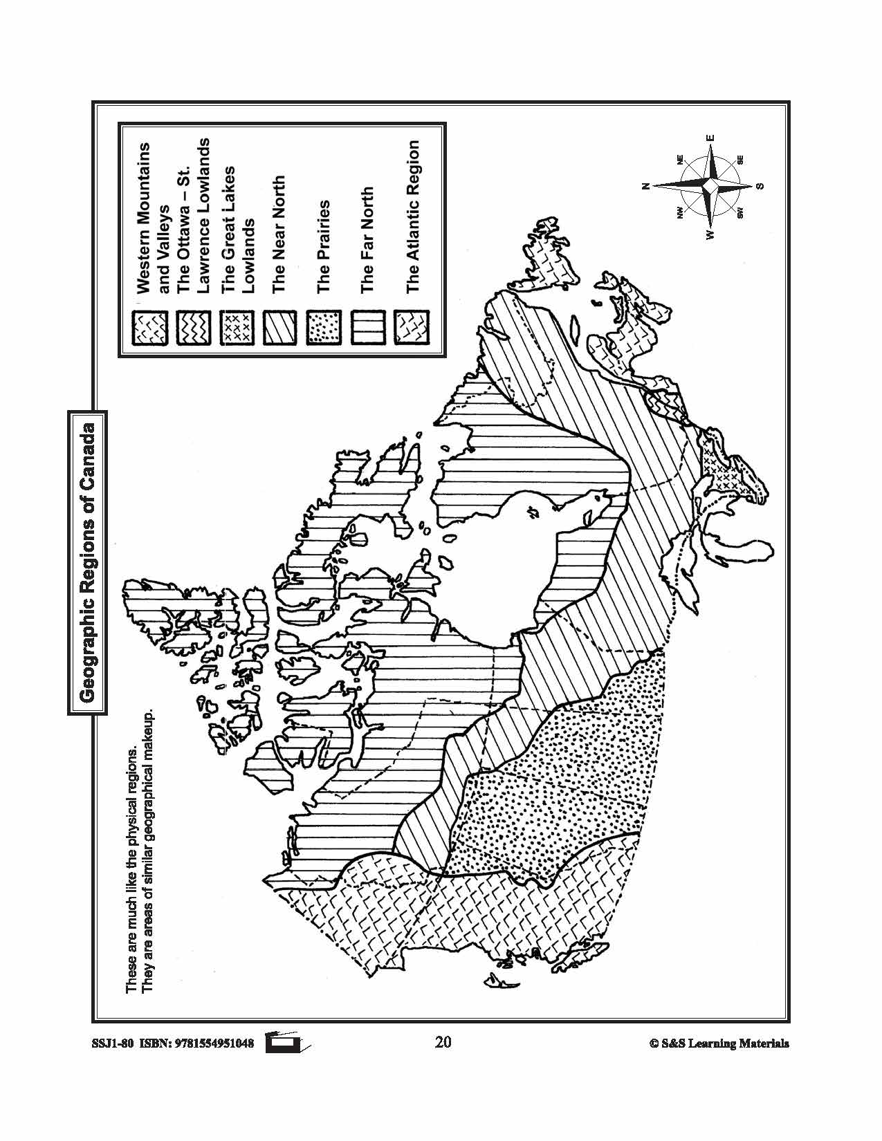
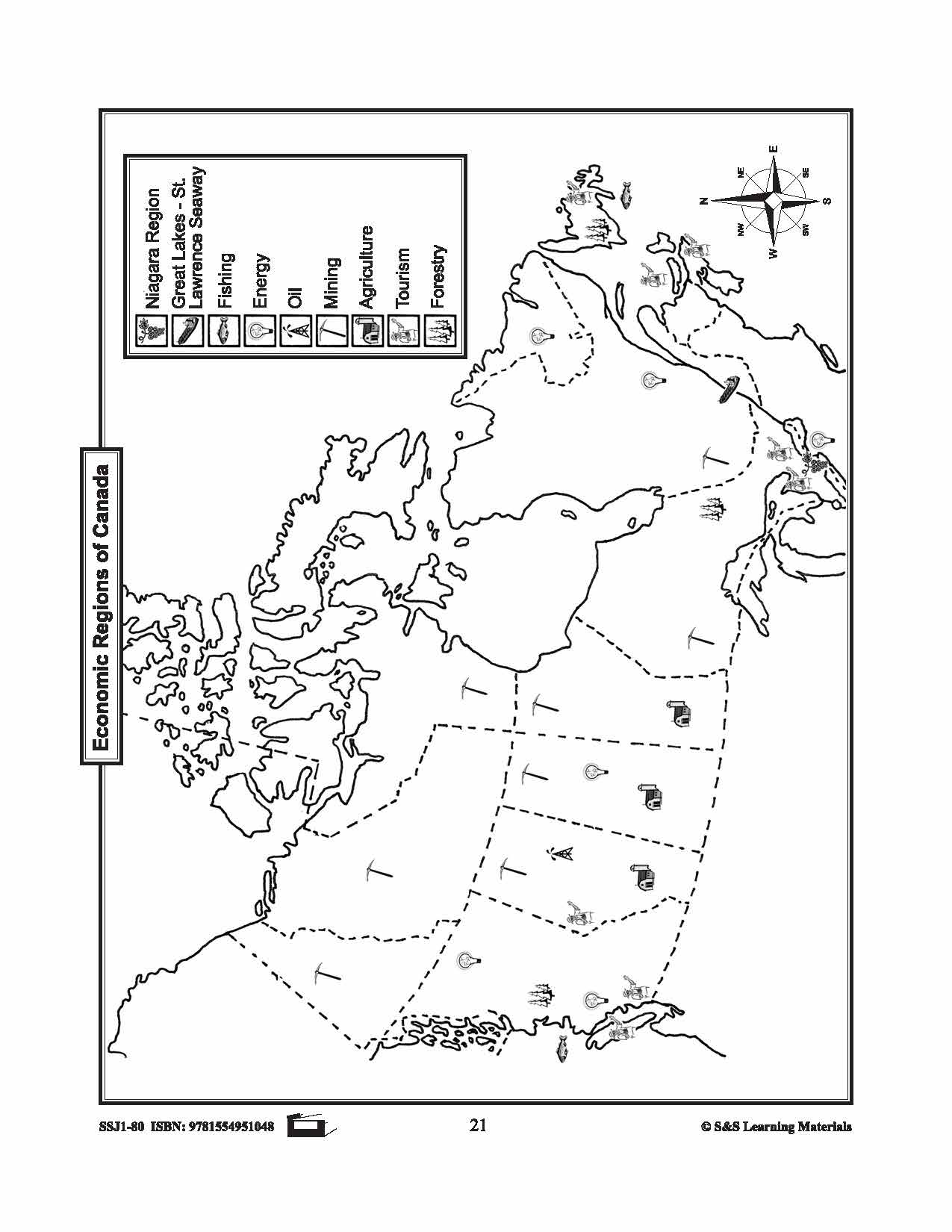
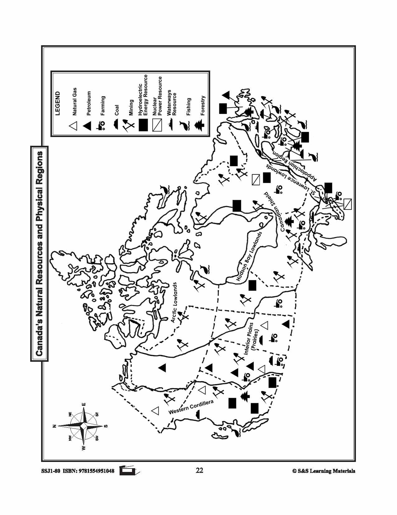
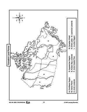


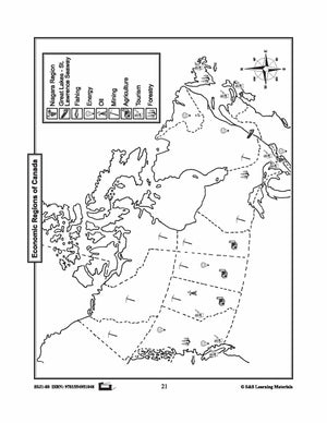
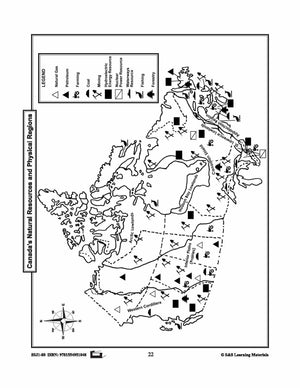
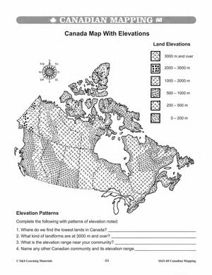
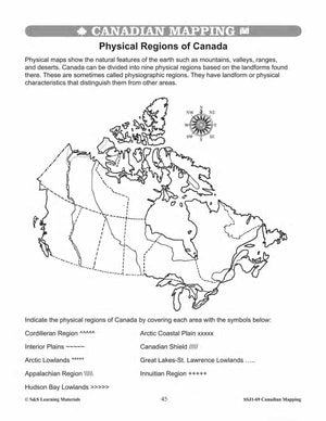
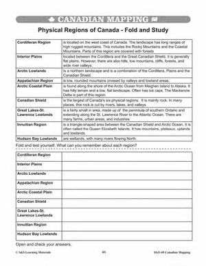
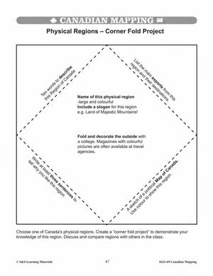
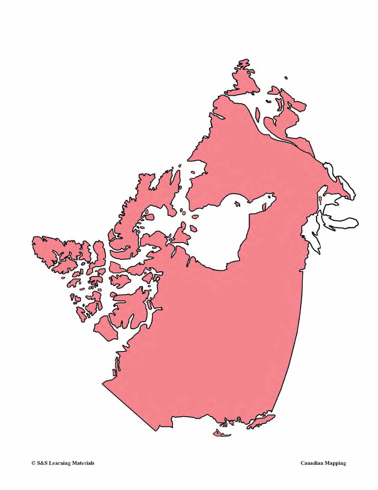
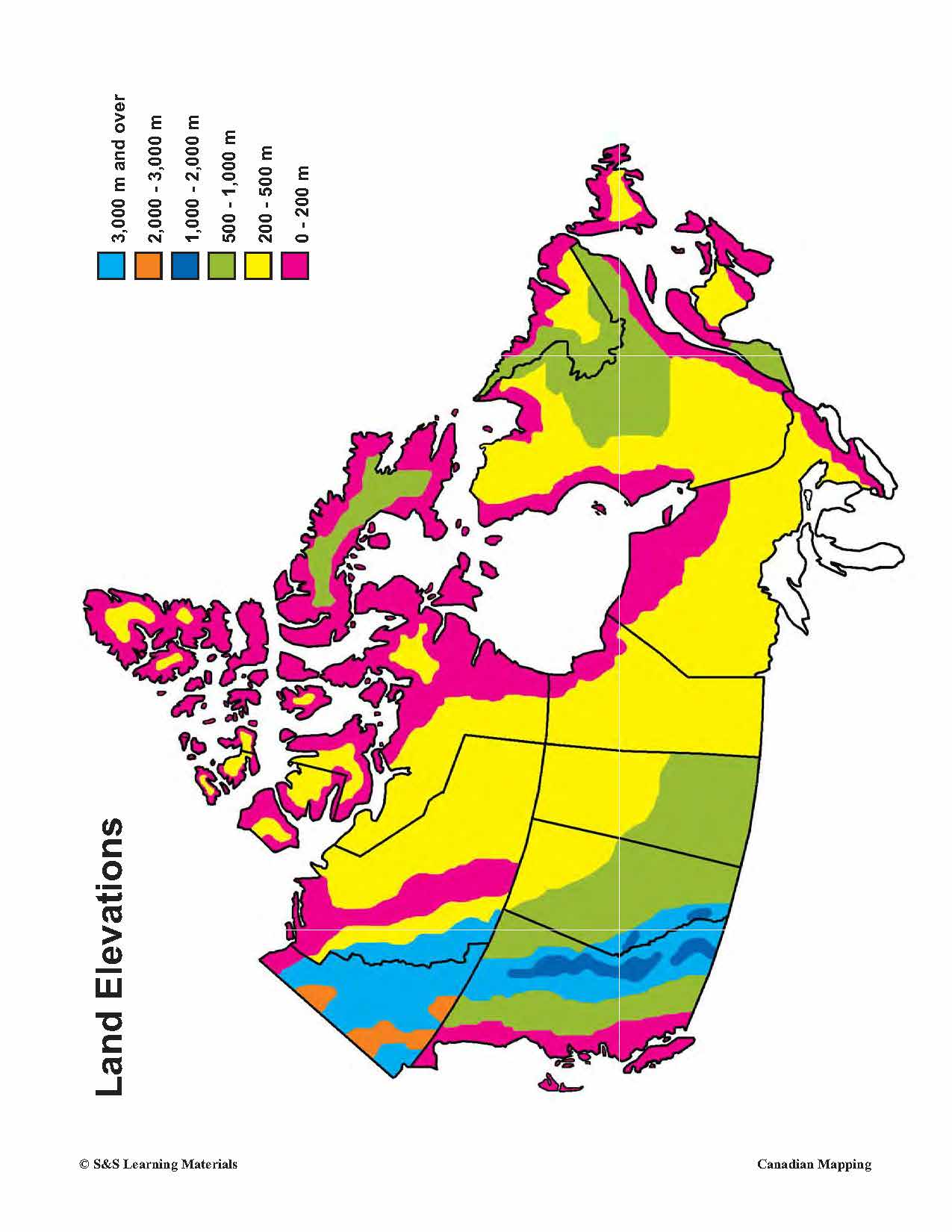
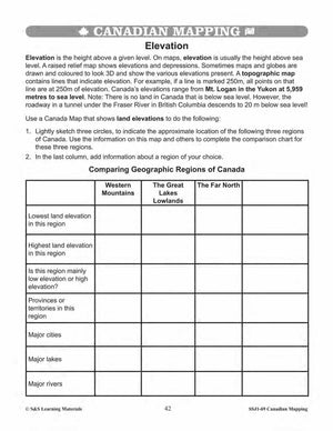
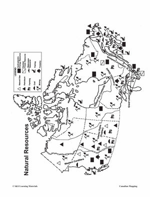
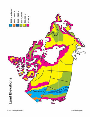
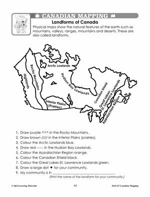
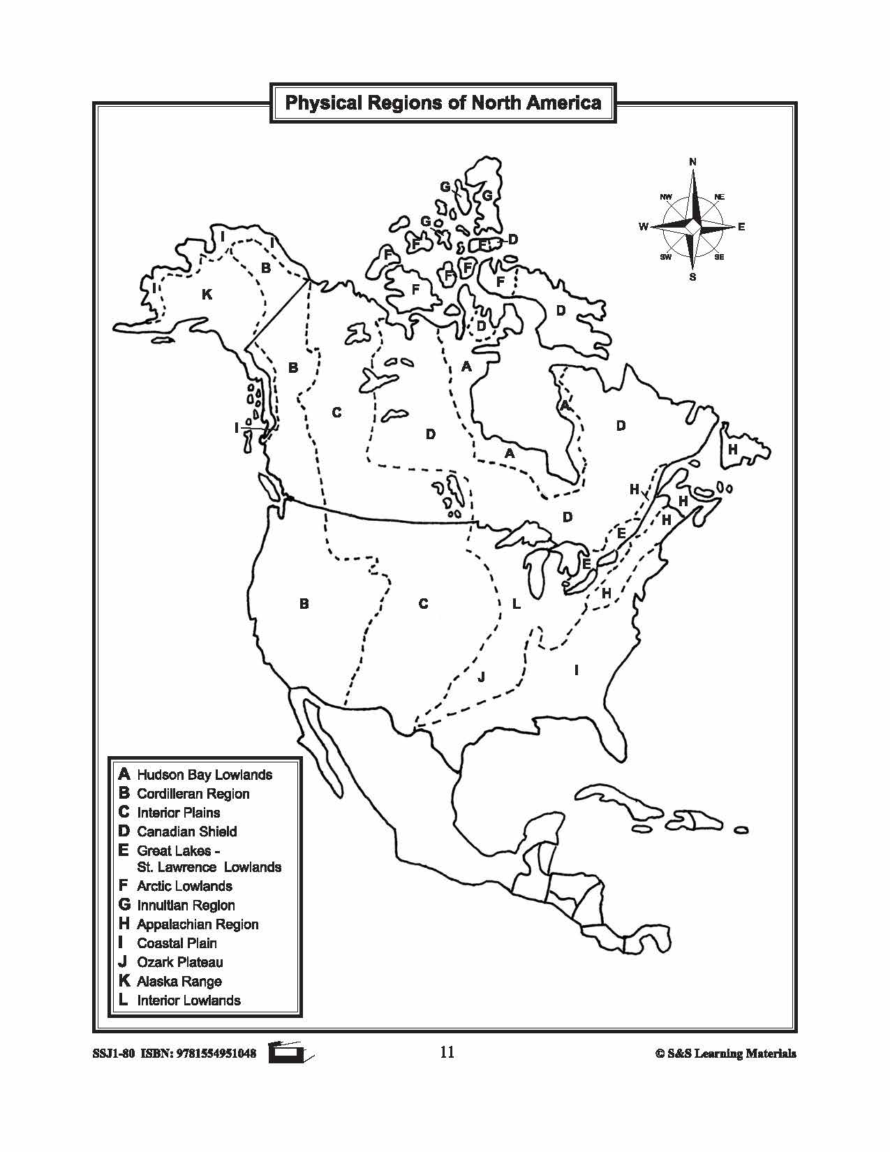
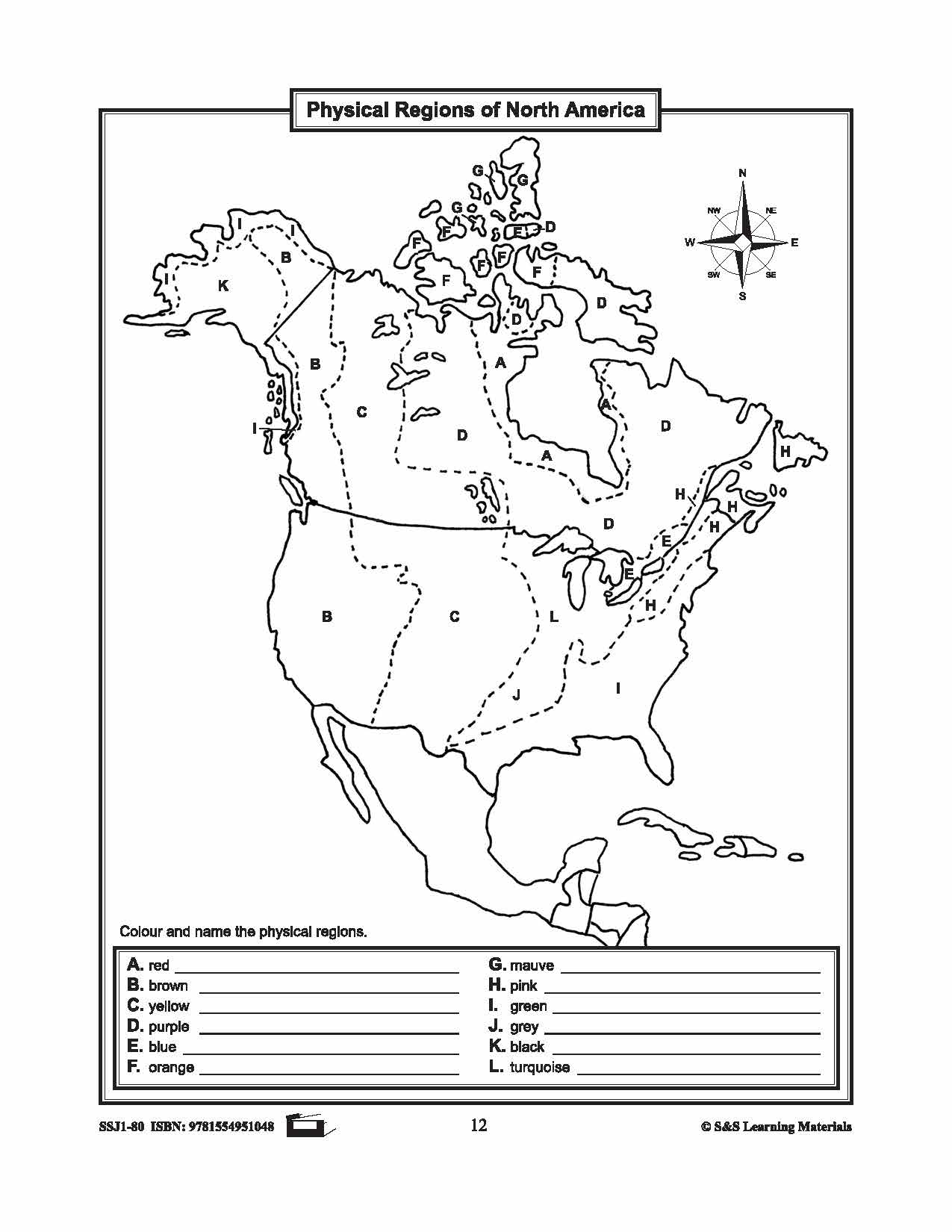
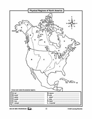
Maps of Canada's Landforms, Regions & Resources Grades 4-8
$5.45 CAD
The maps will help students learn about Canada's landforms, geographic regions of Canada, economic regions, natural resources, and physical regions of Canada. 6 pages


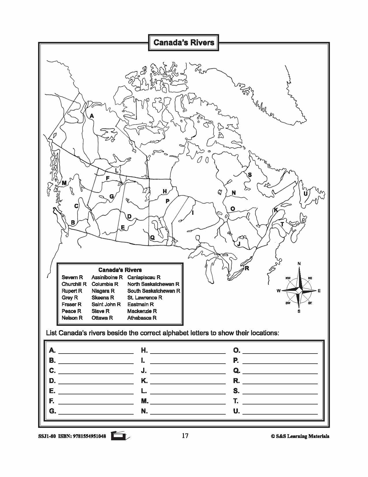
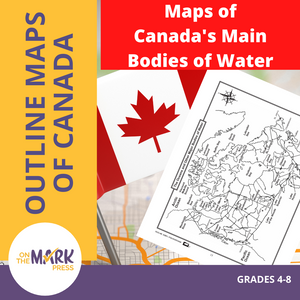
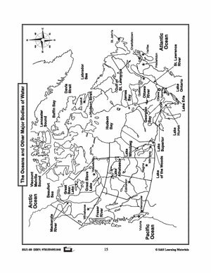
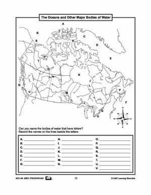

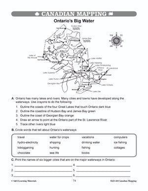
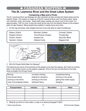
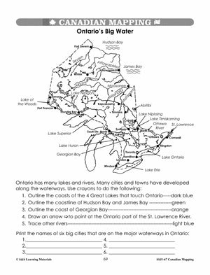
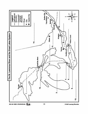
Maps of Canada's Main Bodies of Water Grades 4-8
$4.45 CAD
The maps will help students to recognize and locate Canada's main bodies of water, and discover rivers and lakes in each province or territory. 4 Pages


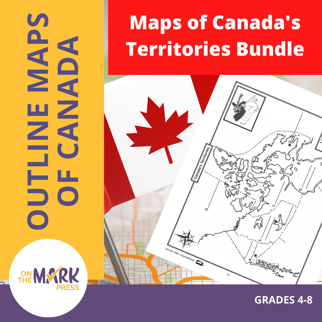
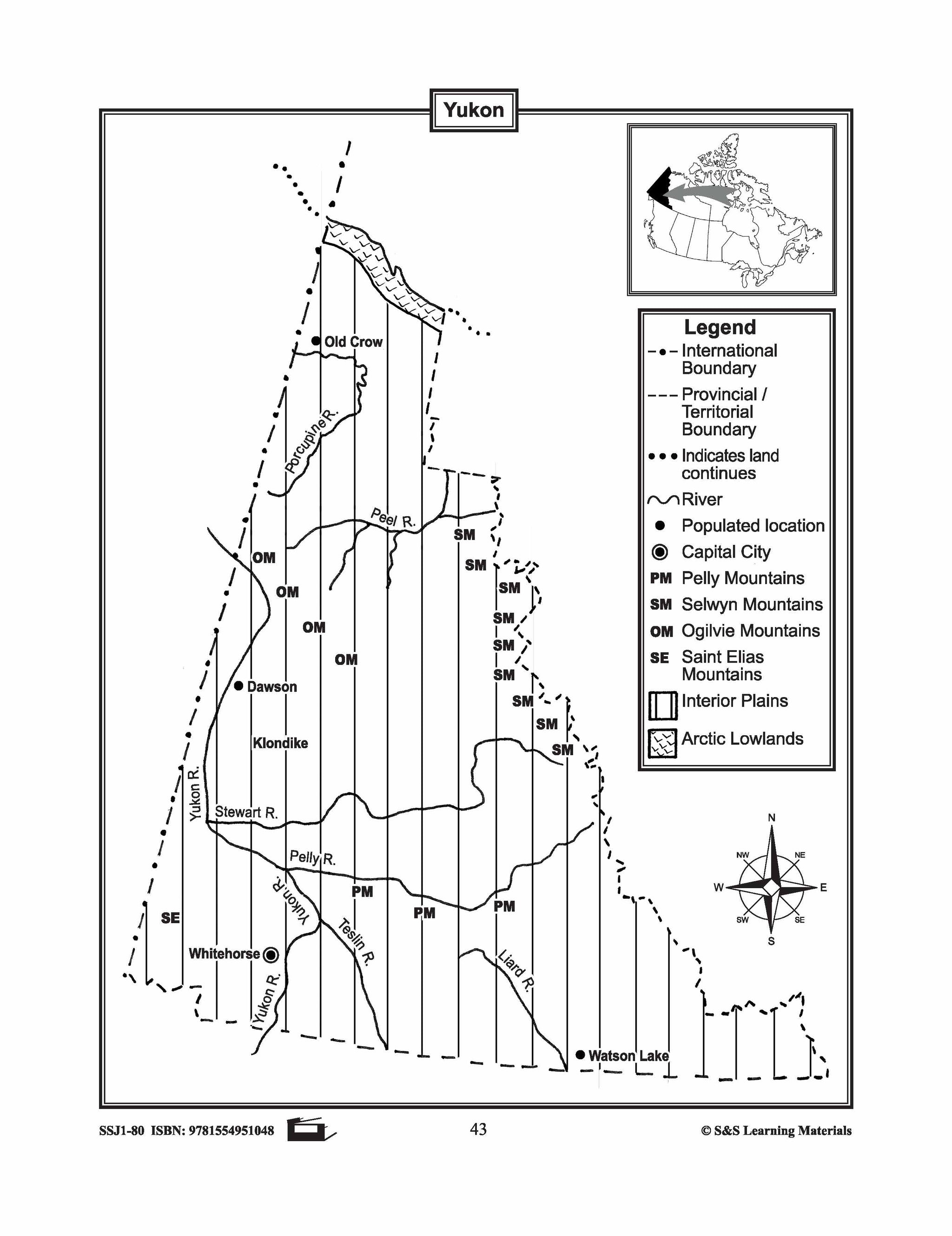
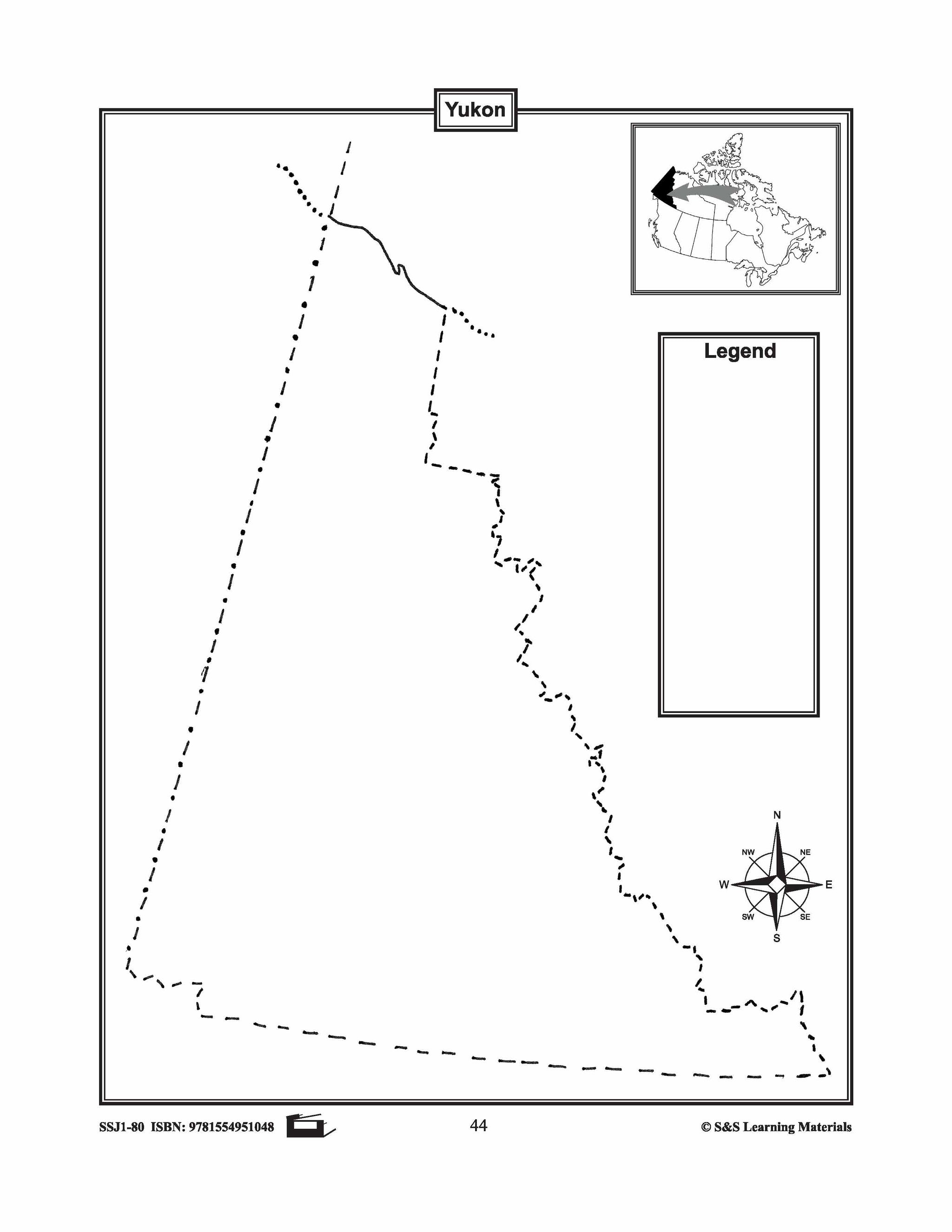

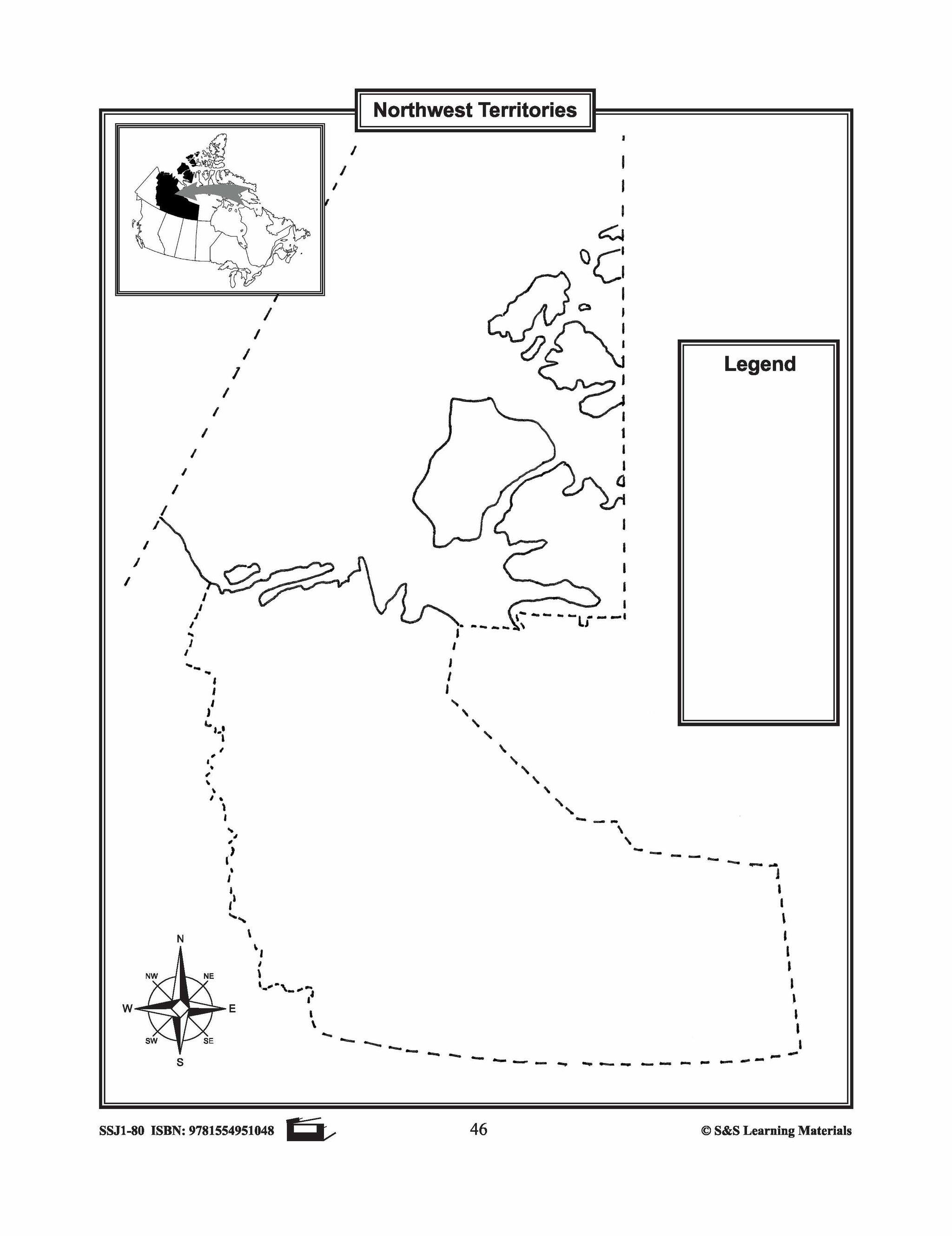


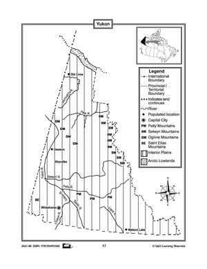
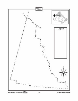
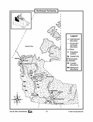
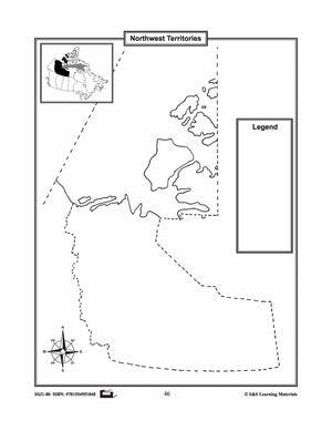


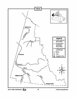
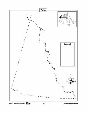
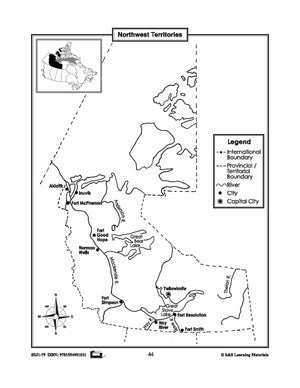
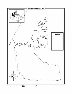
Maps of Canada's Territories $avings Bundle! Grades 4-8
$6.45 CAD
These resources help students learn about the Territories: Yukon, Northwest Territories, and Nunavut.They learn about their international and provincial/territorial boundary, rivers, landforms, capital cities, and other cities. 6 pages Subscribe to our Fan List!: Our FANlist newsletter is full of tips...


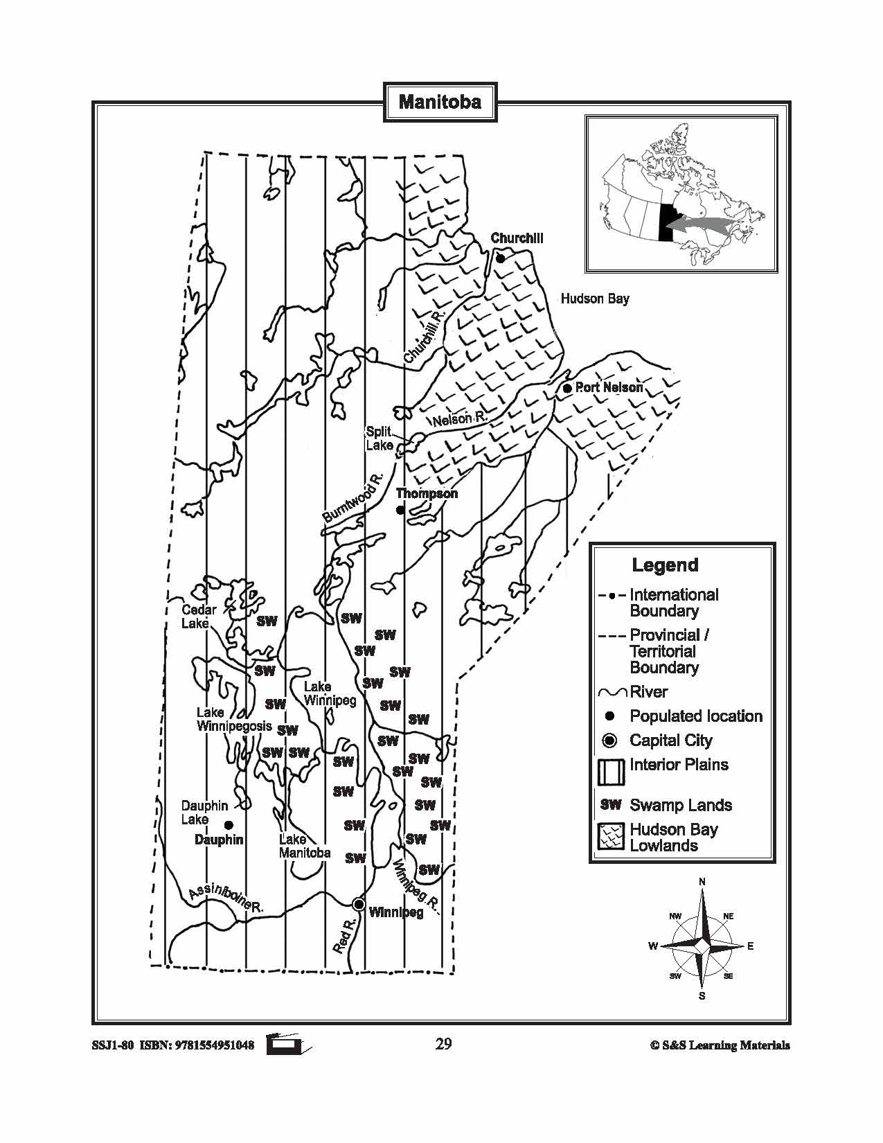


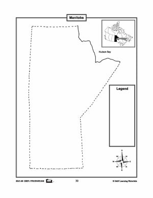
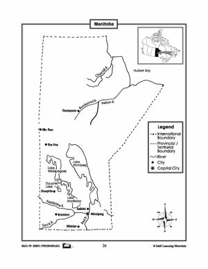
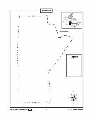
Maps of Manitoba Grades 4-8
$3.45 CAD
The maps will help students learn about Manitoba and its international and provincial/territorial boundary, rivers, landforms, the capital city, and other cities. 2 pages


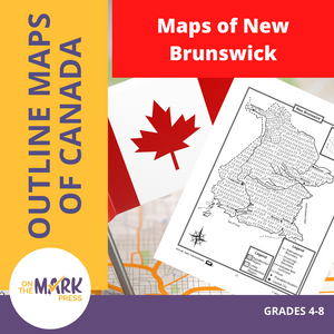

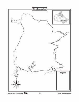
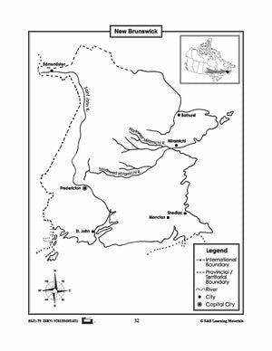
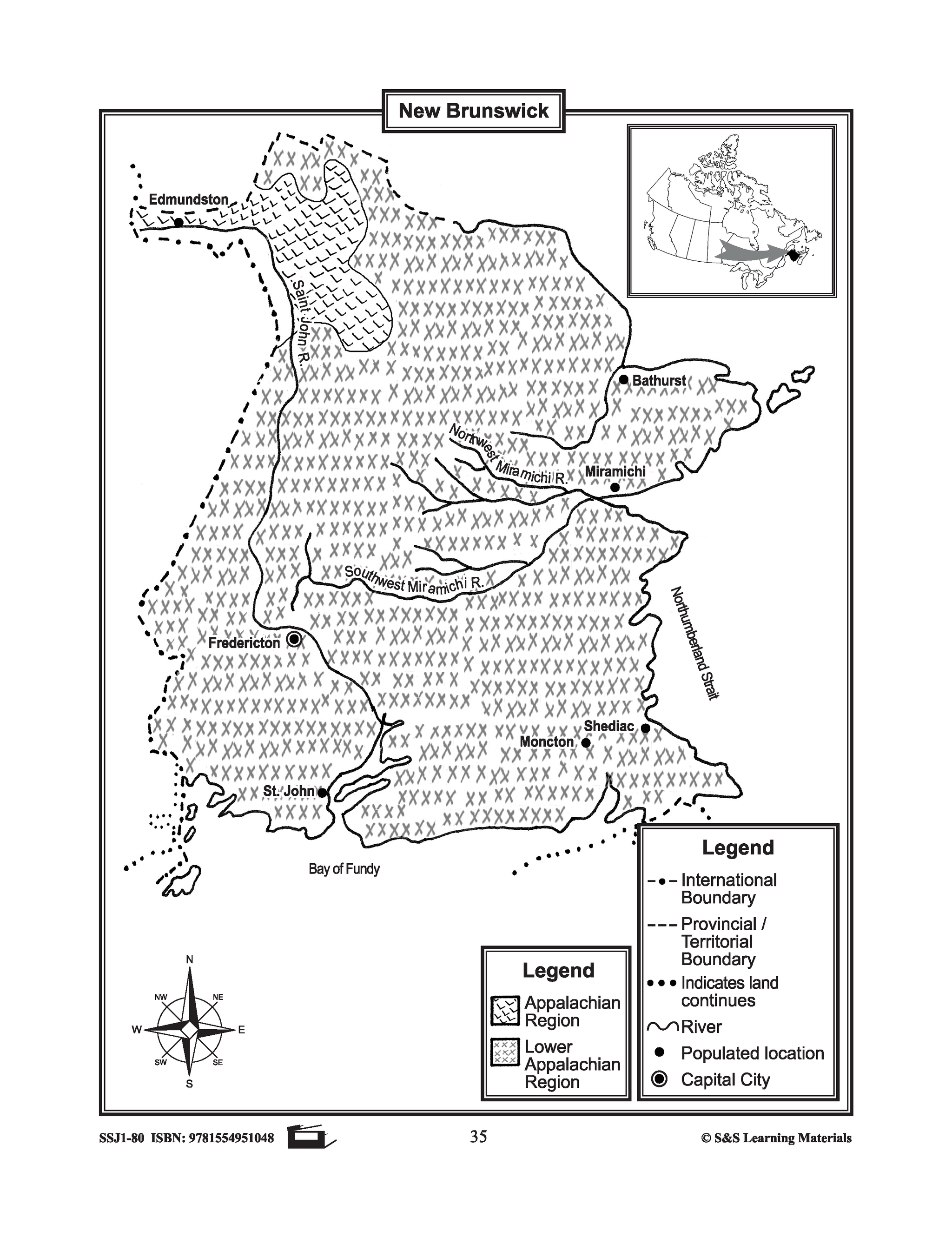
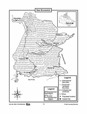
Maps of New Brunswick Grades 4-8
$3.45 CAD
The maps will help students learn about New Brunswick and its international and provincial/territorial boundary, rivers, landforms, the capital city, and other cities. 2 pages

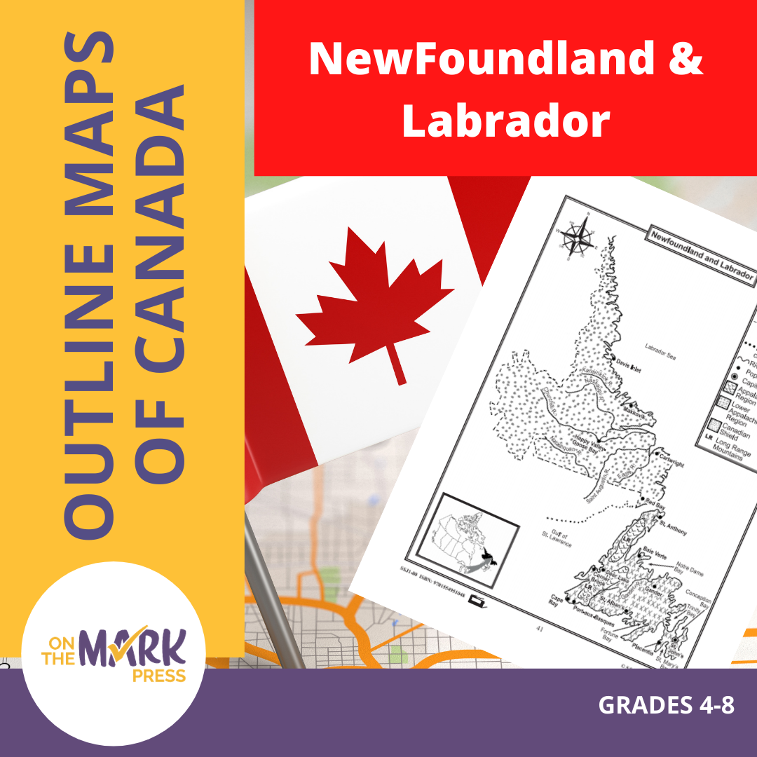


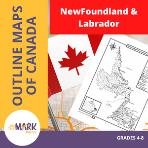
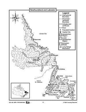
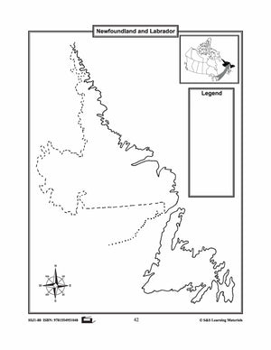
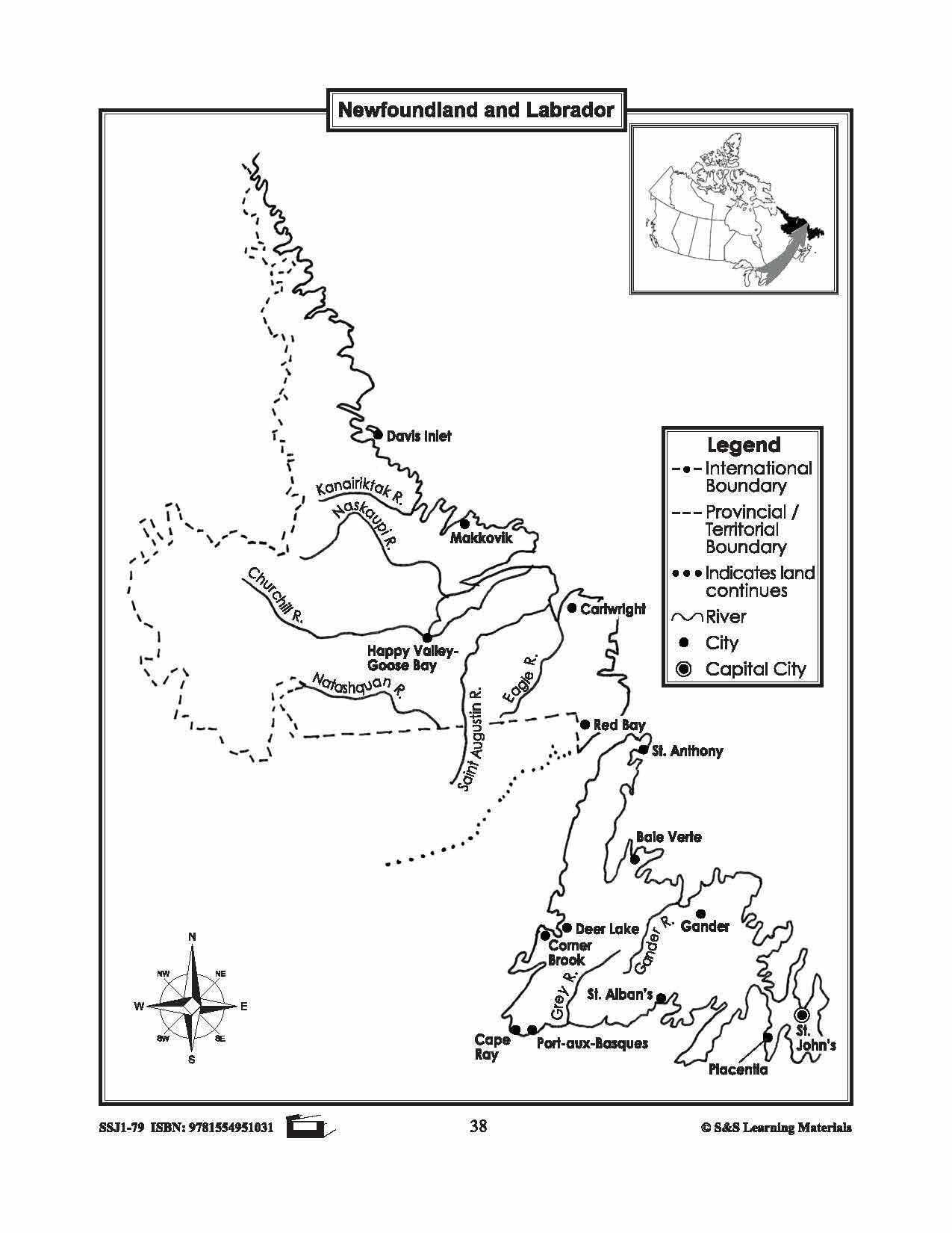
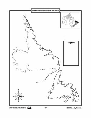
Maps of Newfoundland & Labrador Grades 4-8
$3.45 CAD
The maps will help students learn about Newfoundland and Labrador and provincial/territorial boundary, rivers, landforms, the capital city, and other cities. 2 pages


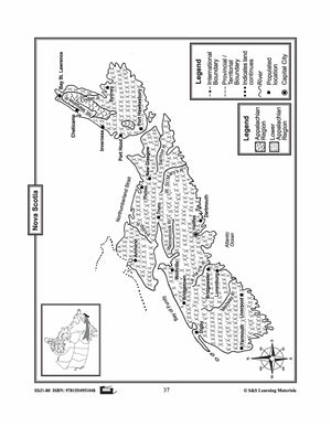

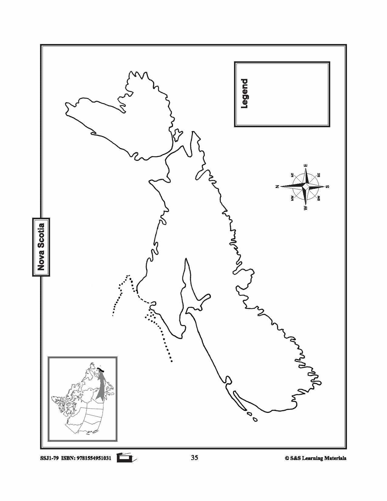
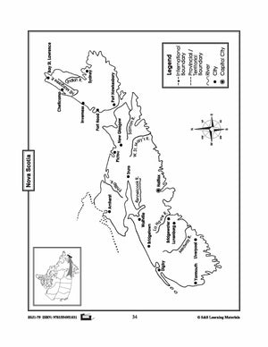
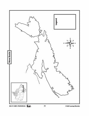
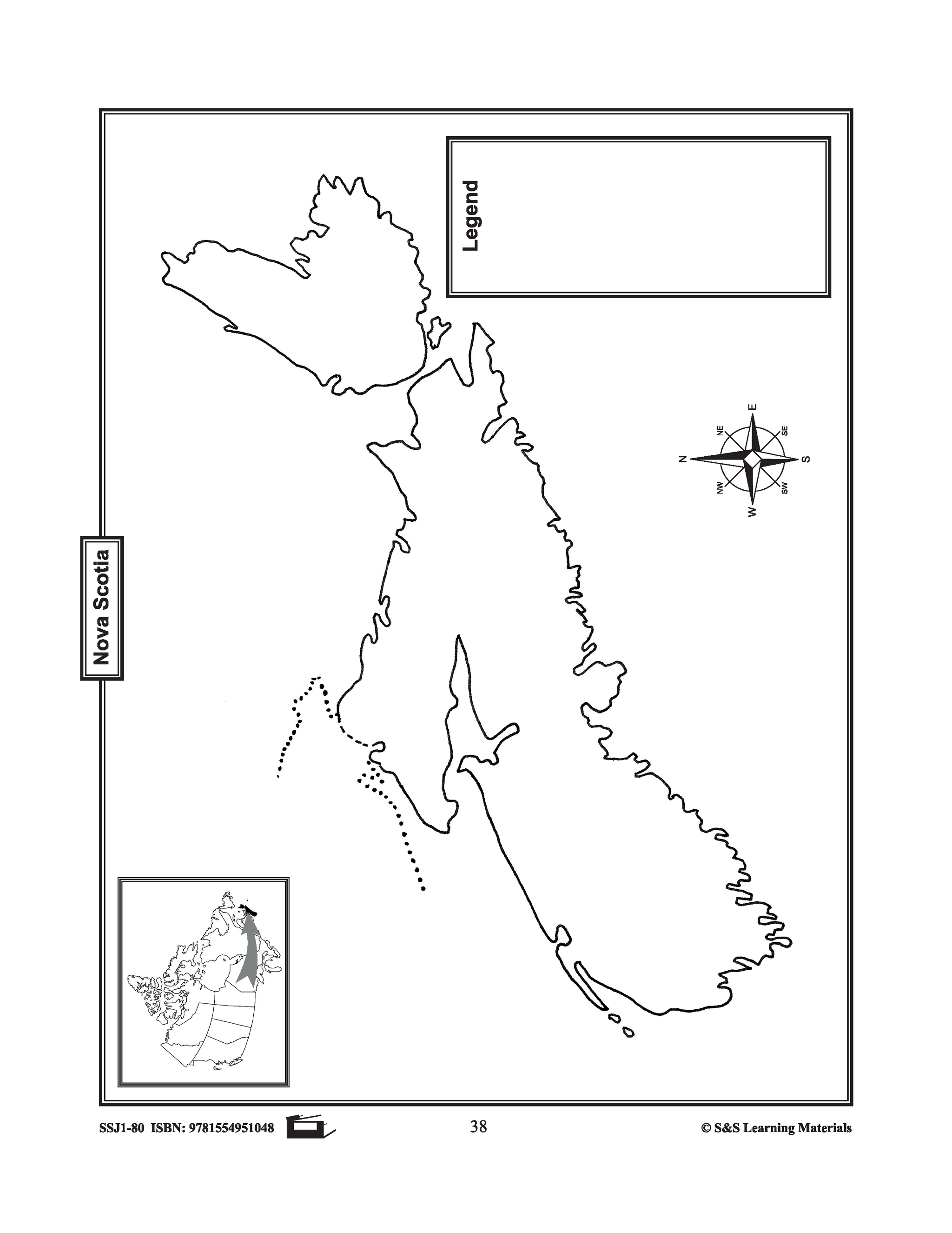
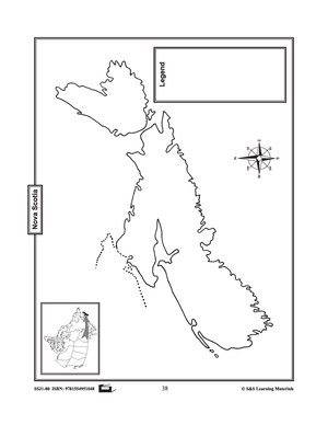
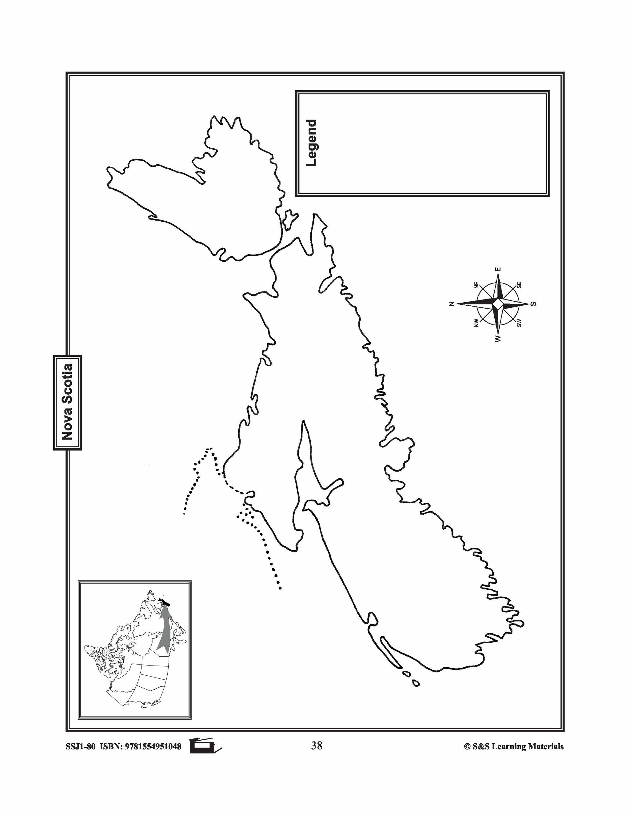
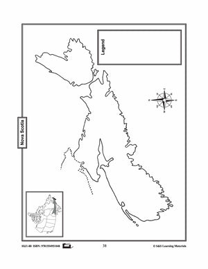
Maps of Nova Scotia Grades 4-8
$3.45 CAD
The maps will help students learn about Nova Scotia and its international and provincial/territorial boundary, rivers, landforms, the capital city, and other cities. 2 pages


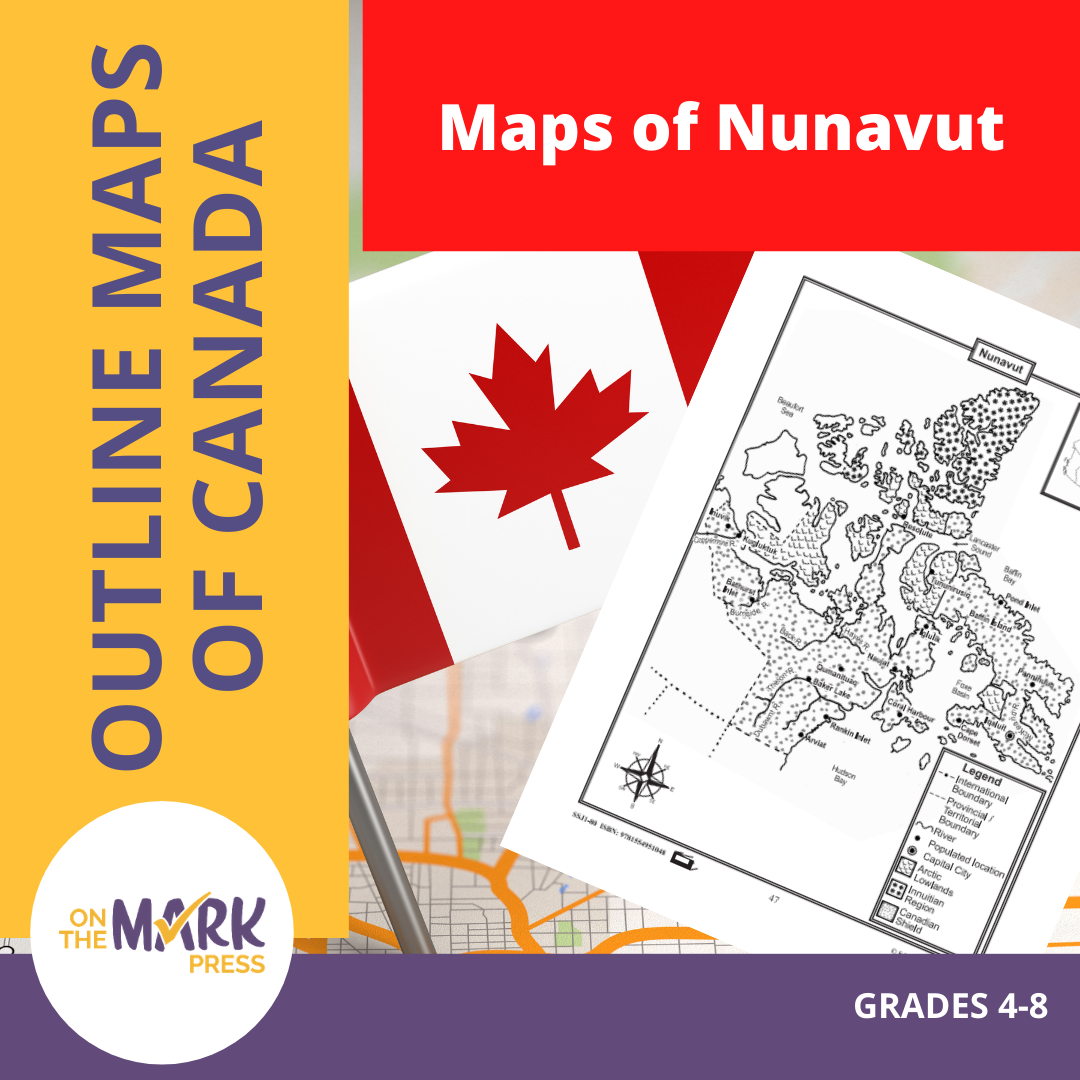

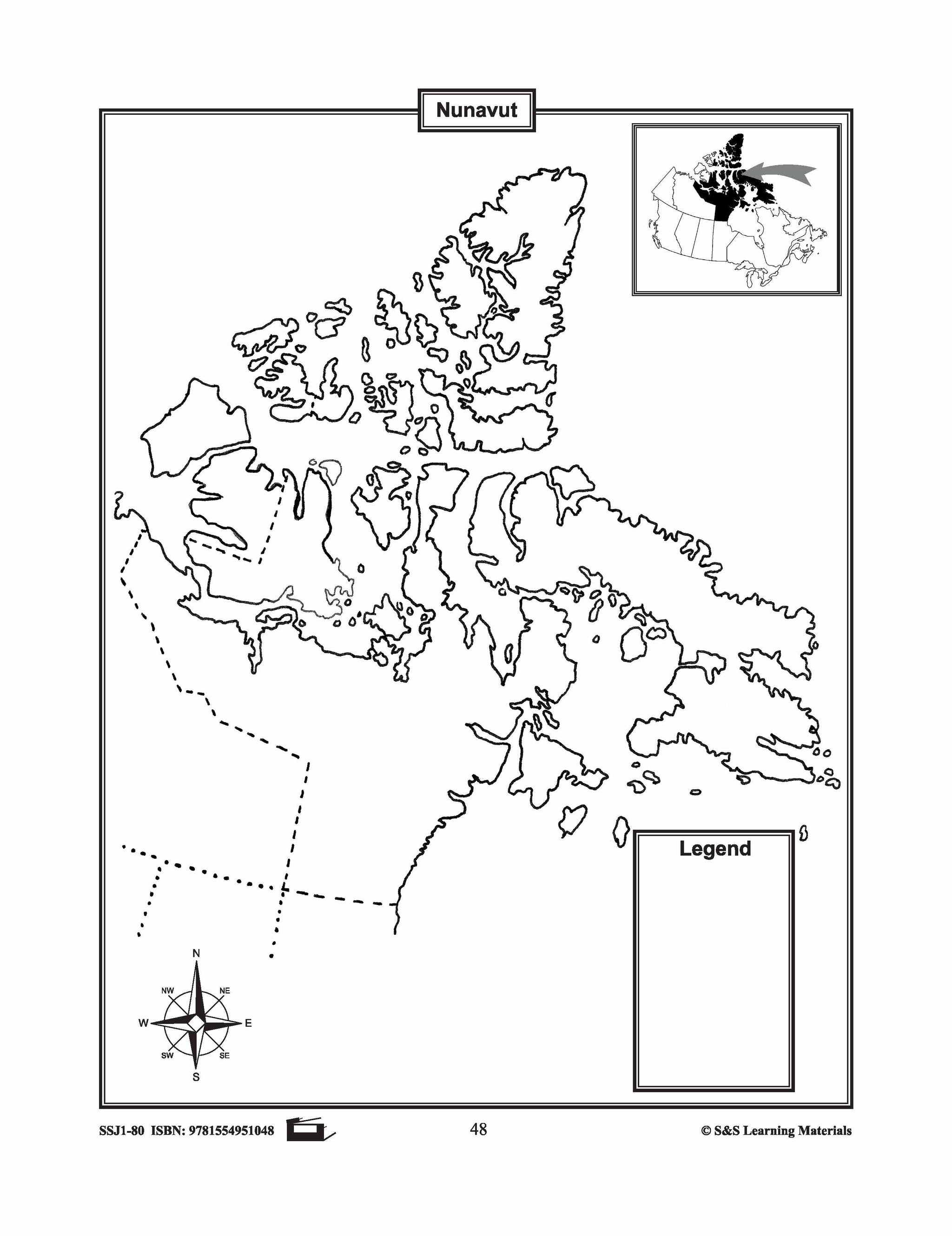

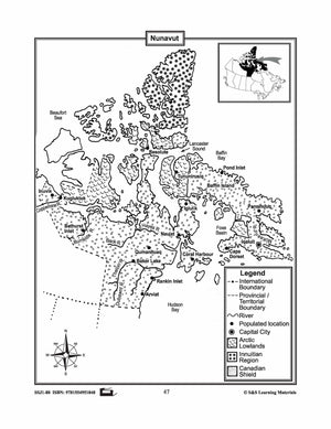

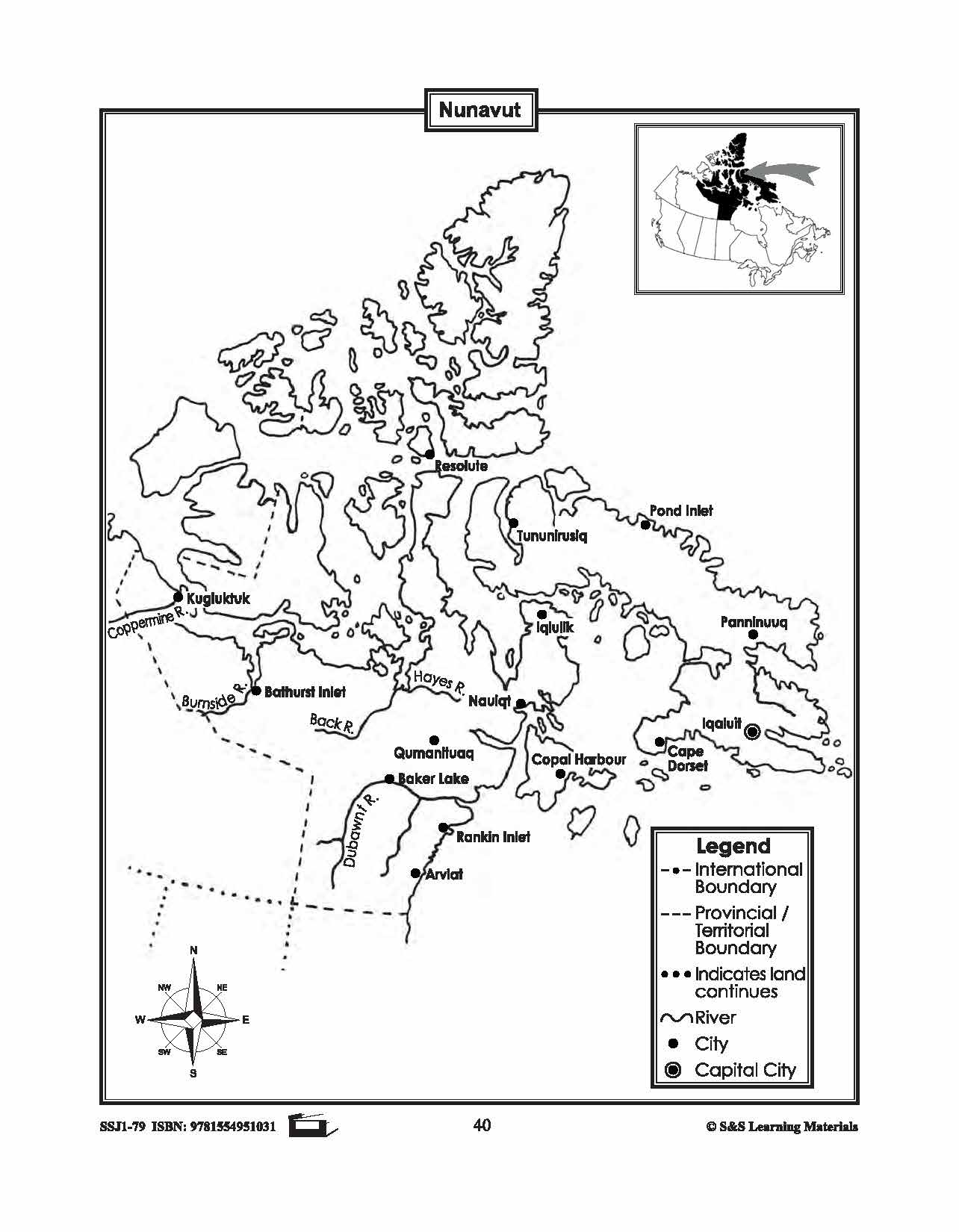
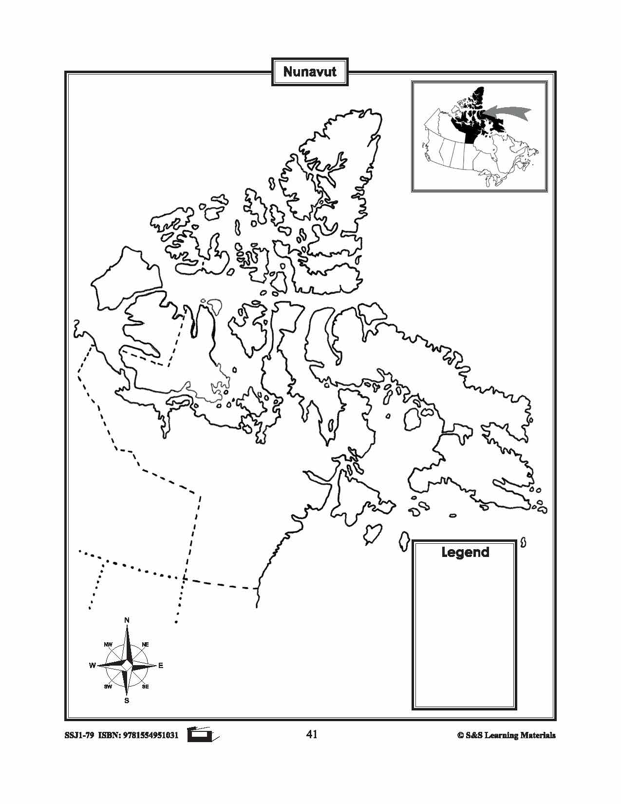
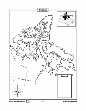
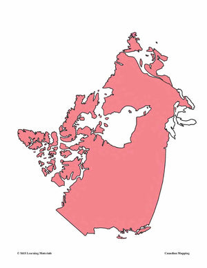
Maps of Nunavut Grades 4-8
$3.45 CAD
The maps will help students learn about Nunavut and its provincial/territorial boundary, rivers, landforms, the capital city, and other cities. 2 pages


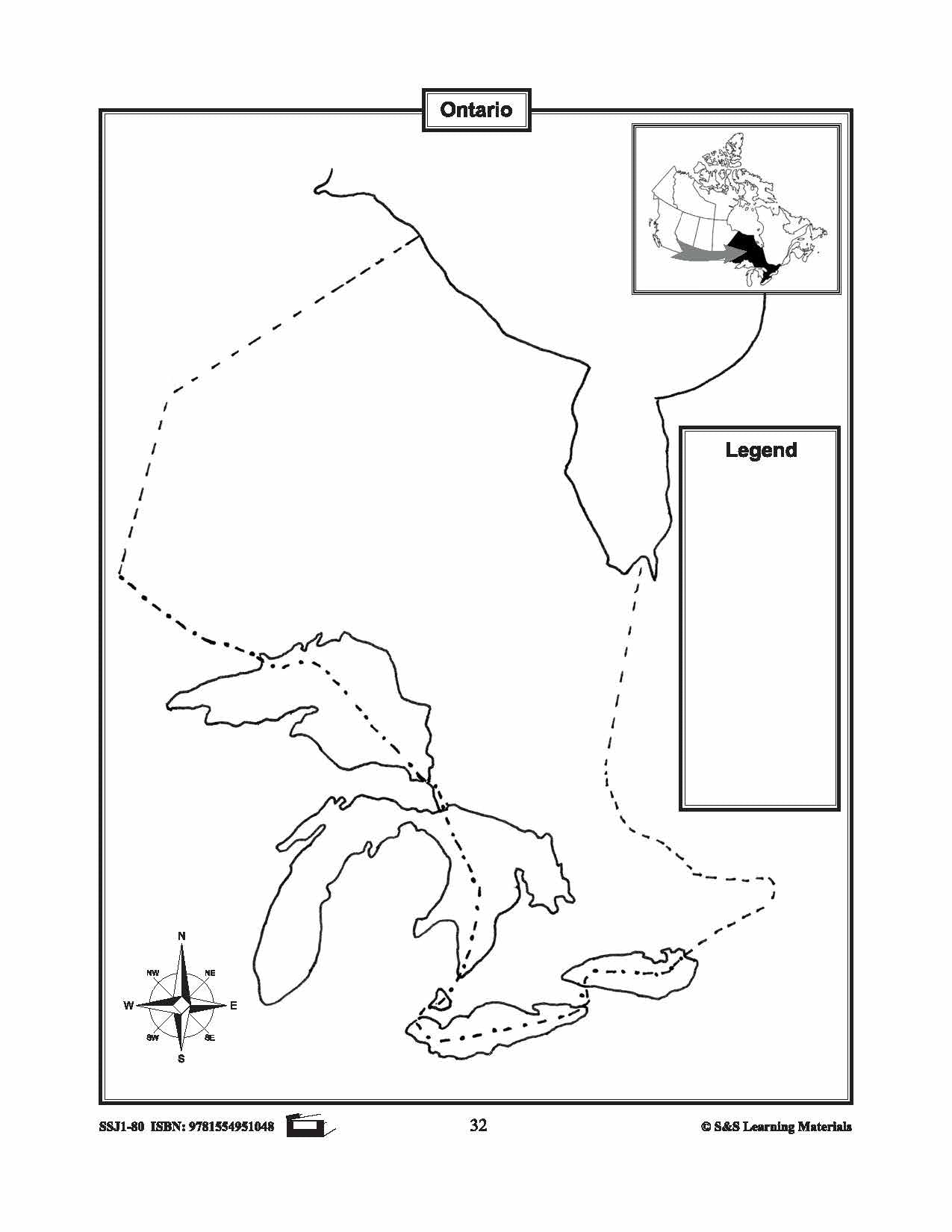

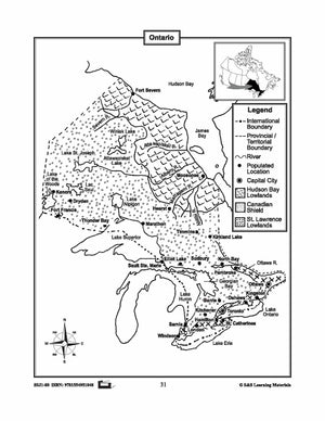
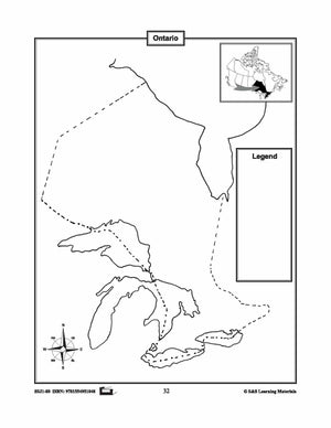
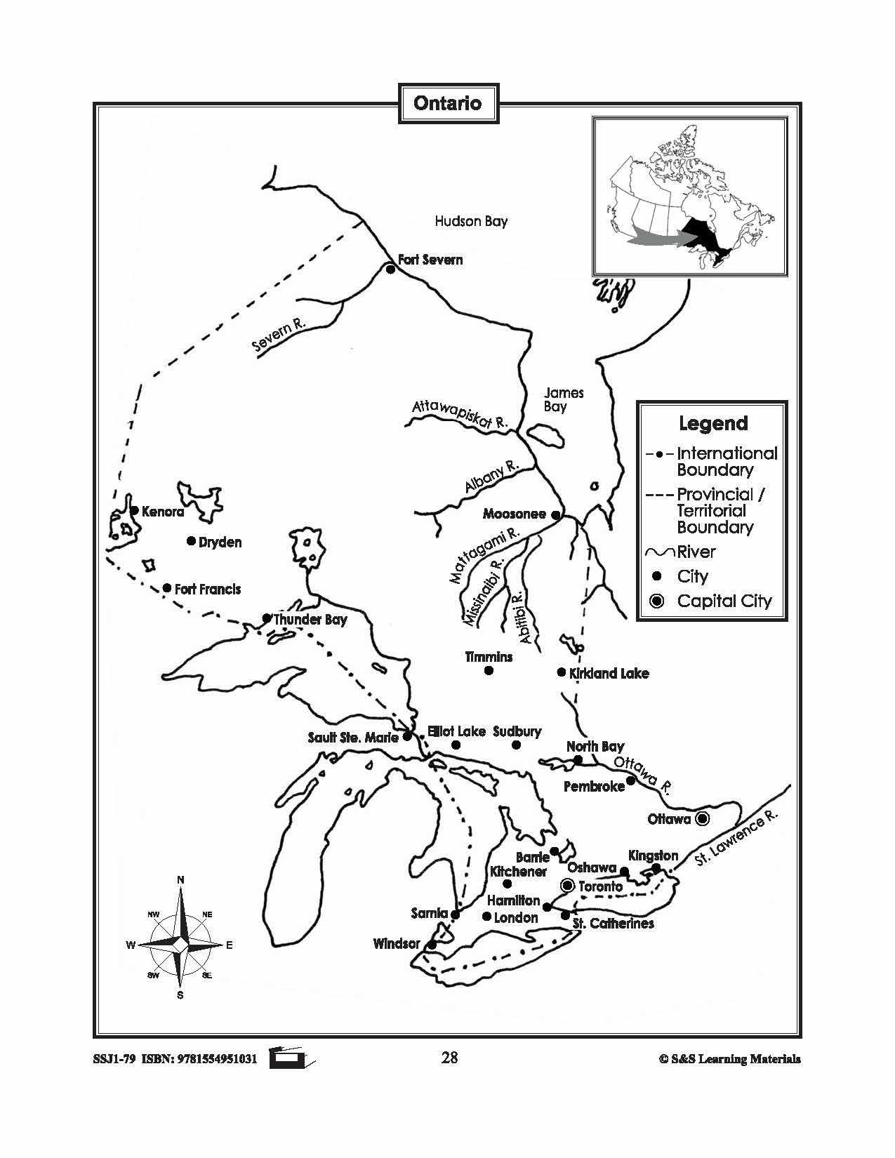
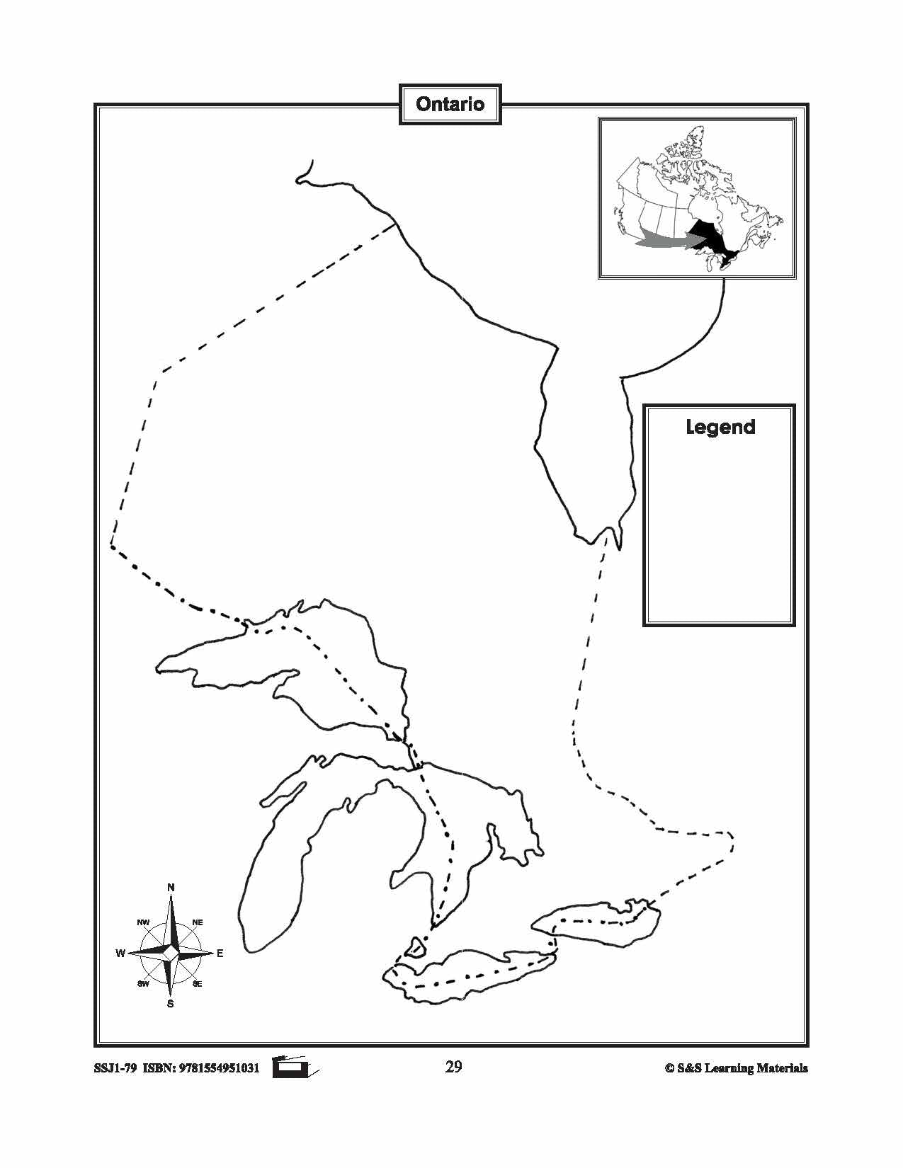
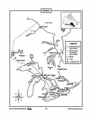
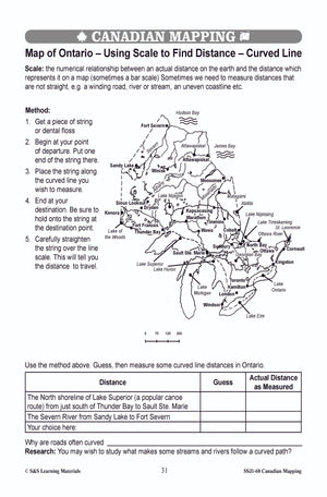
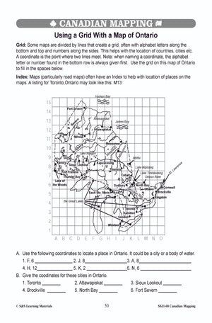
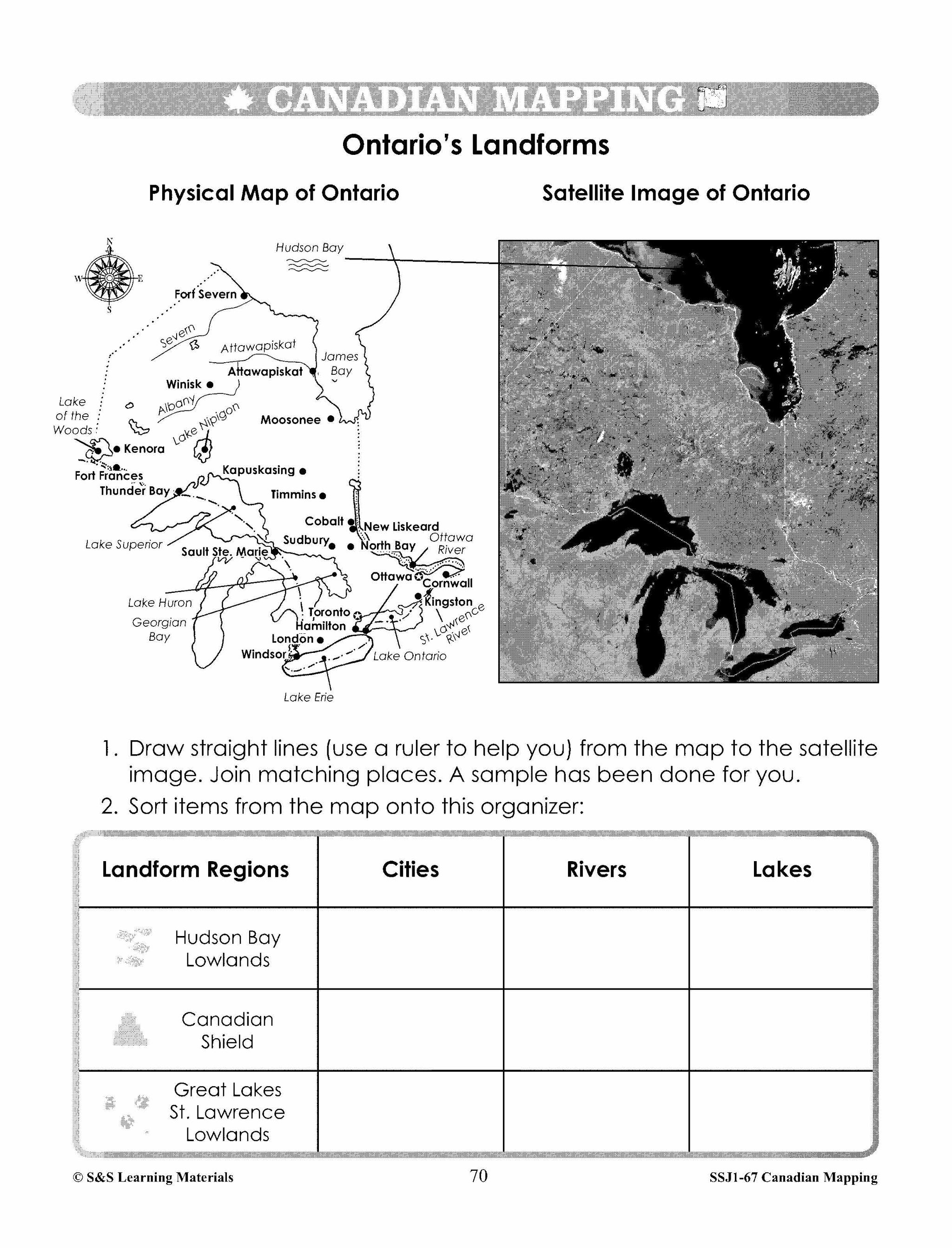
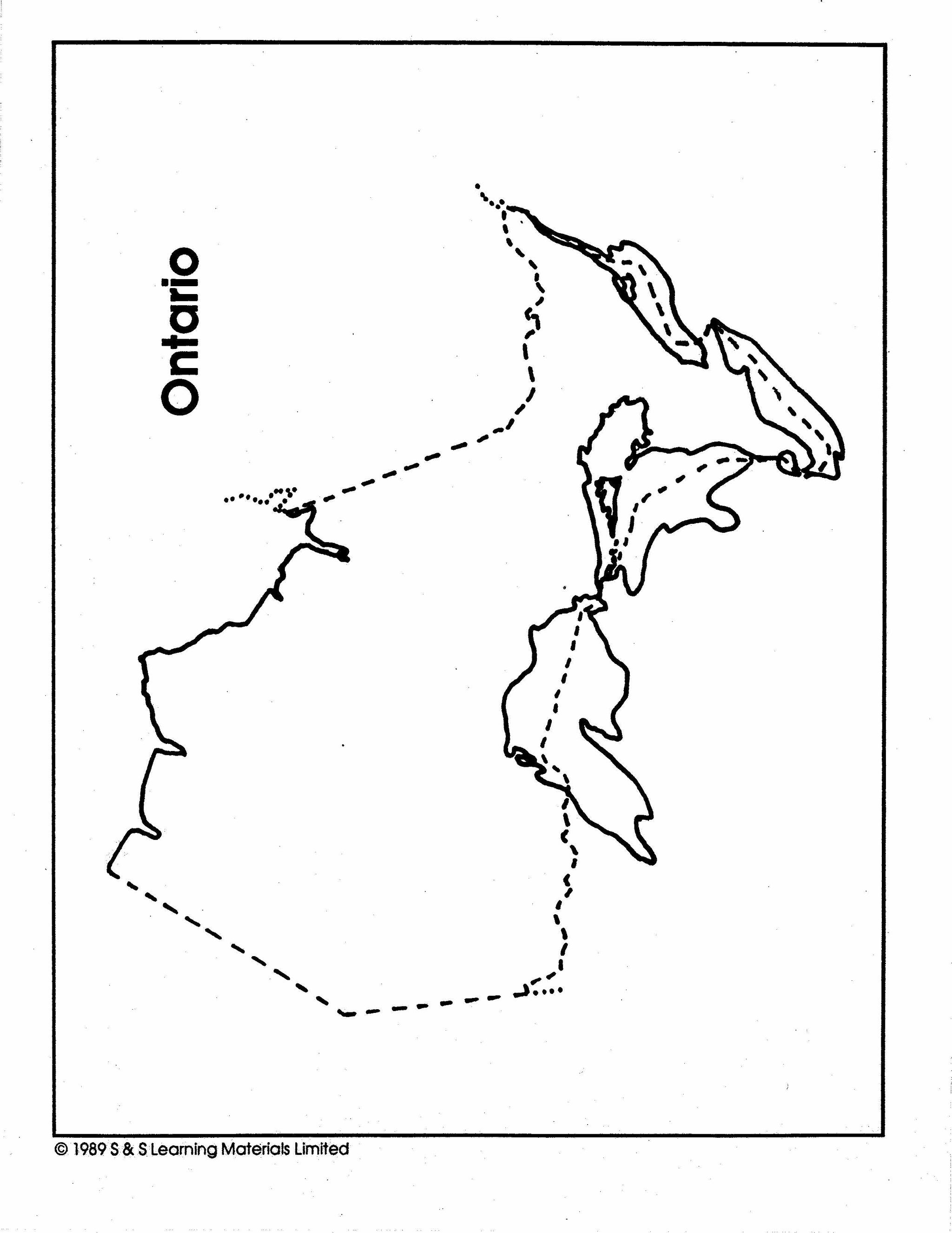
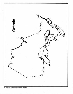
Maps of Ontario Grades 4-8
$3.45 CAD
The maps will help students learn about Ontario and its international and provincial/territorial boundary, rivers, landforms, the capital city, and other cities.


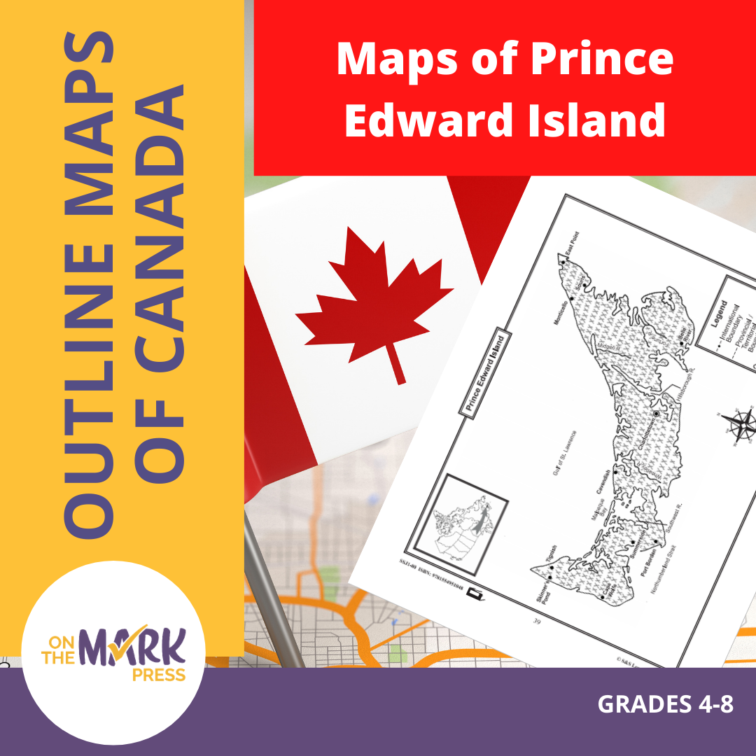


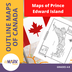
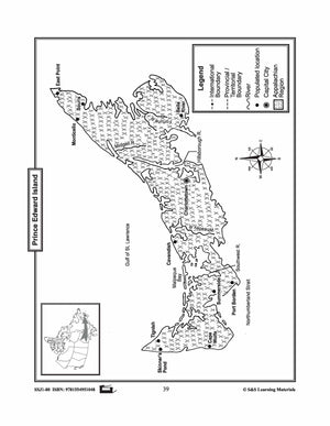
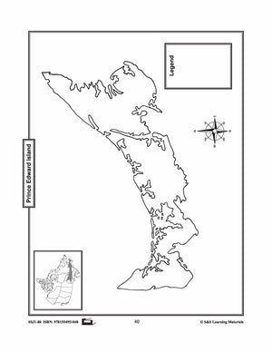
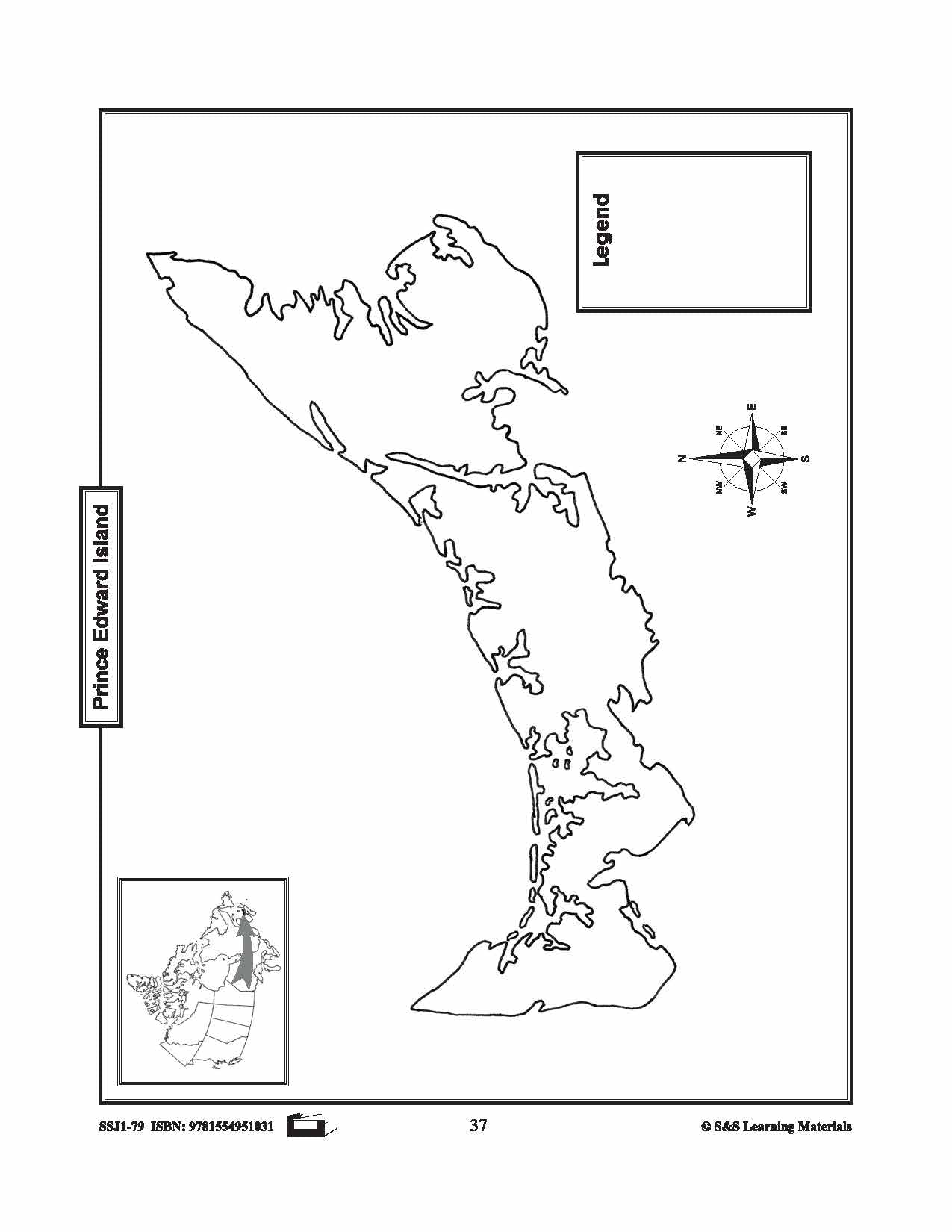
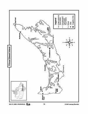
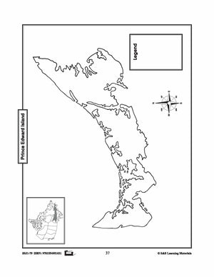
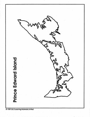
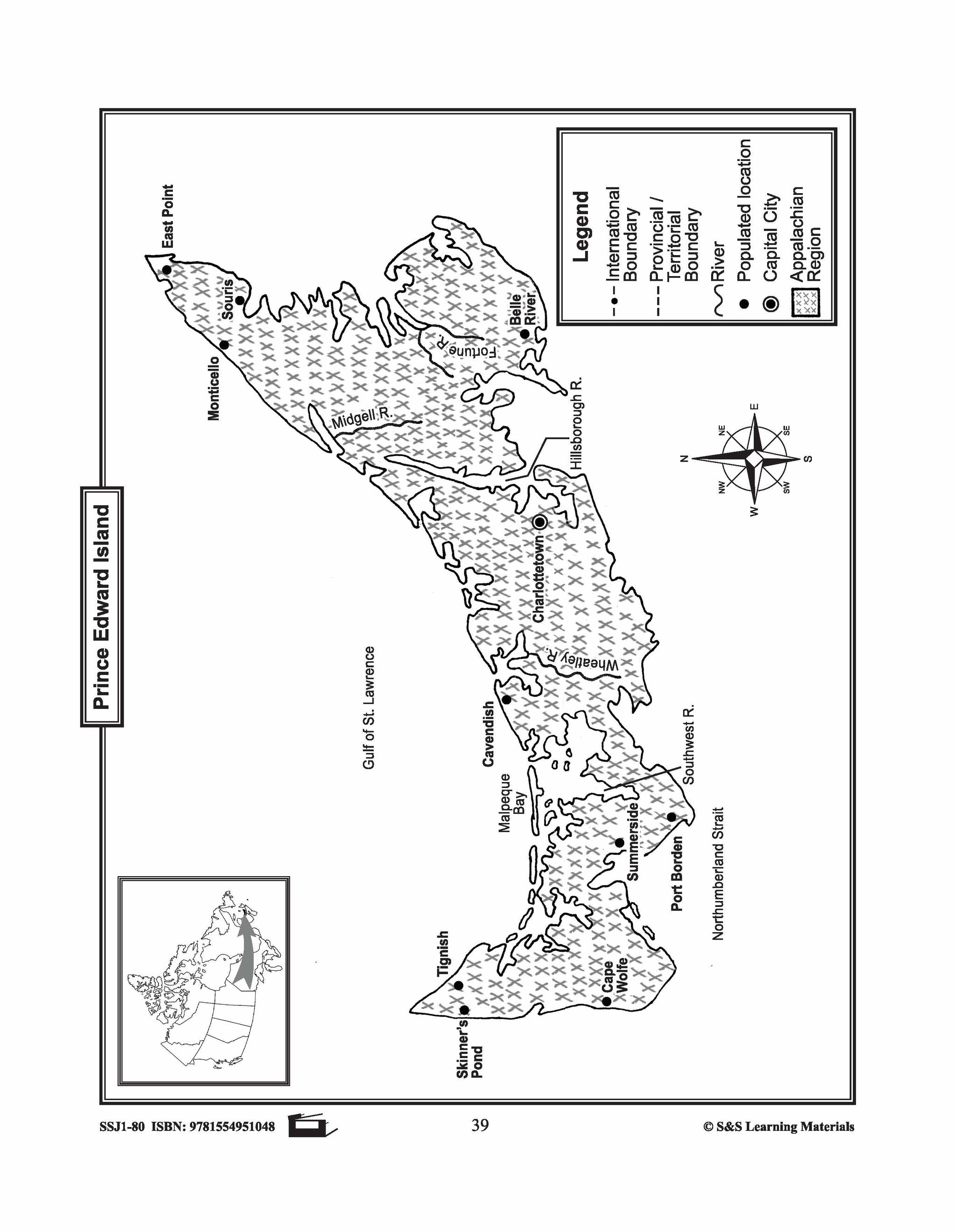
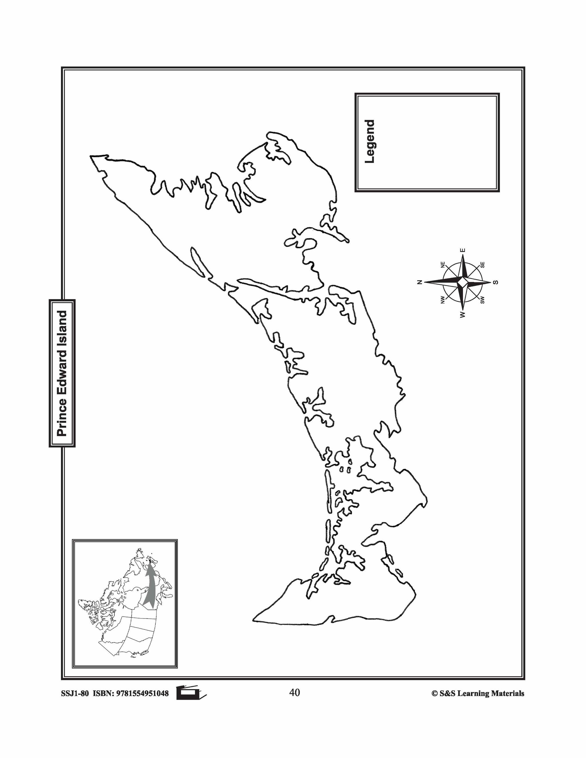
Maps of Prince Edward Island Grades 4-8
$3.45 CAD
The maps will help students learn about Prince Edward Island and its rivers, landforms, the capital city, and other cities. 2 pages

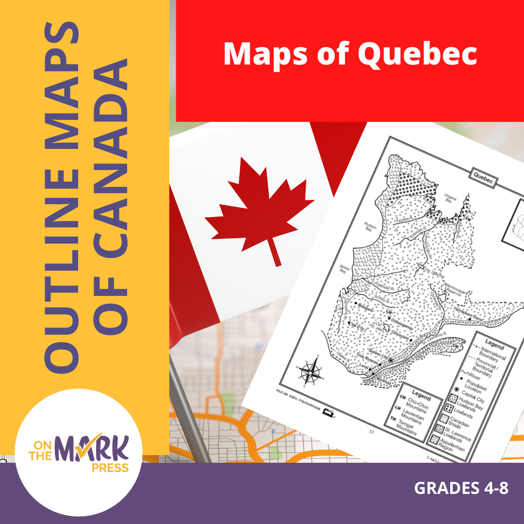

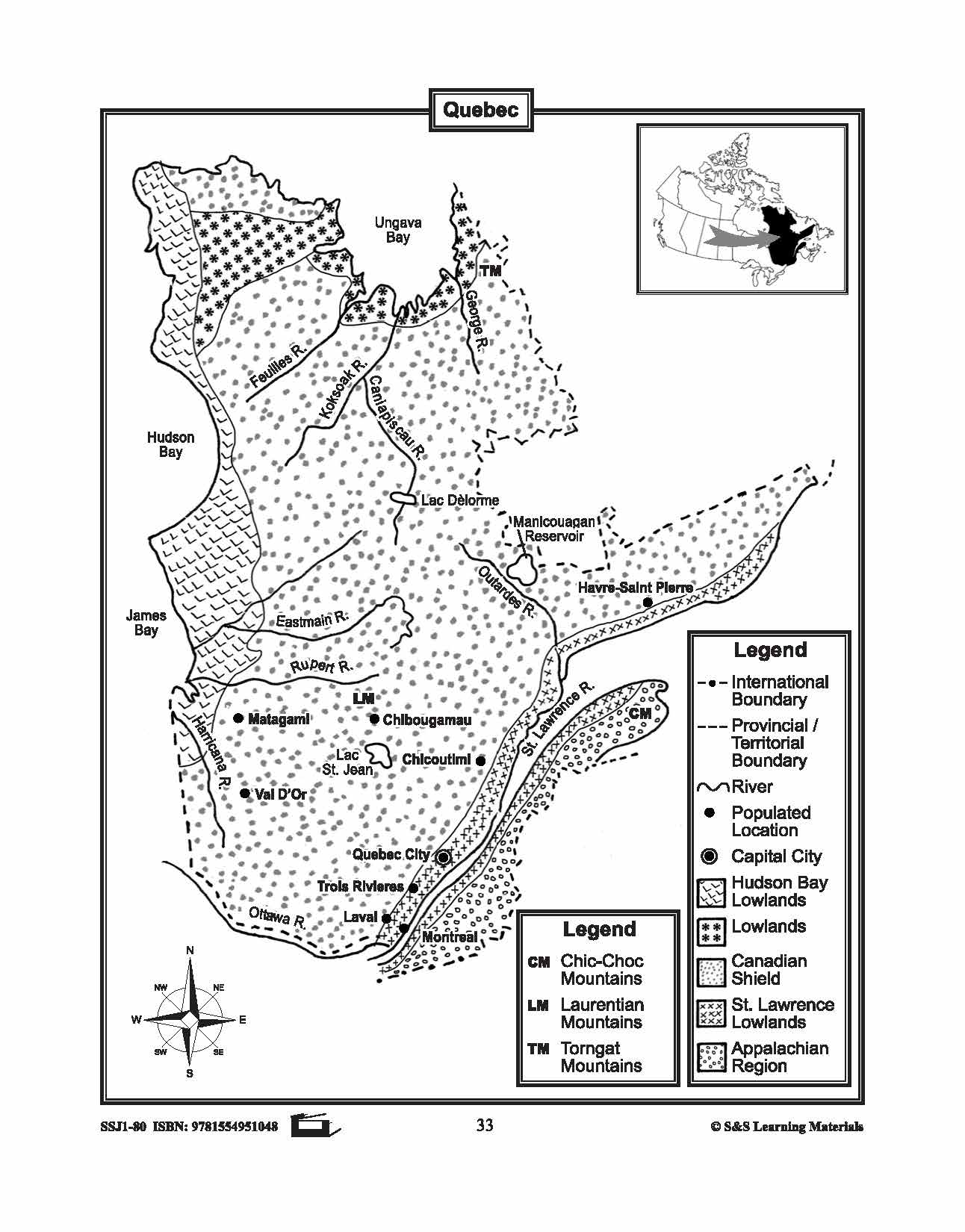


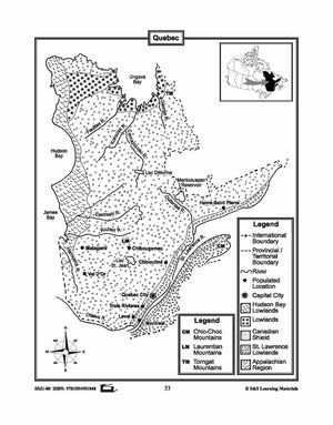
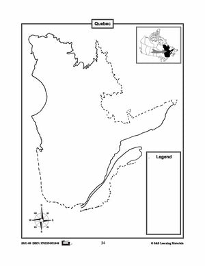
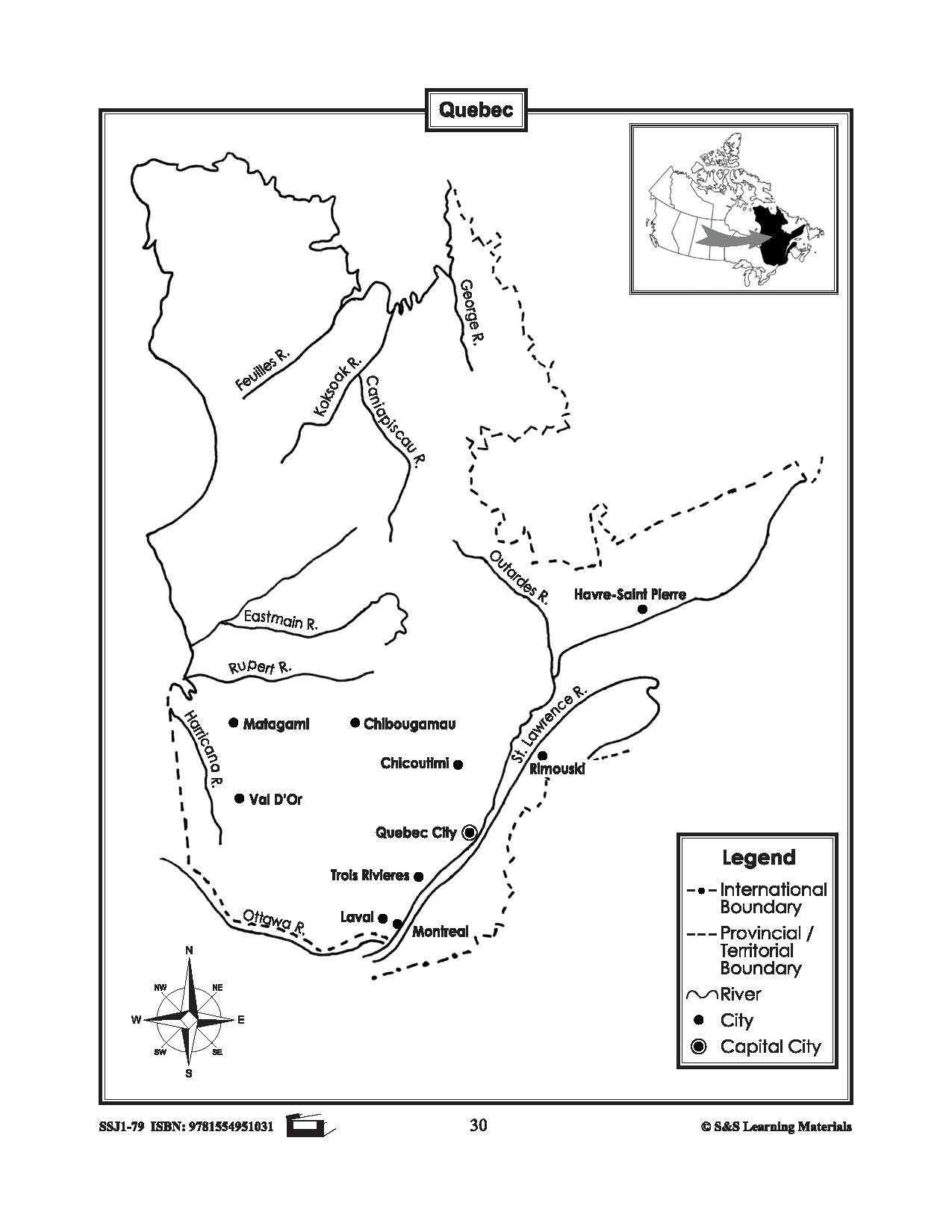
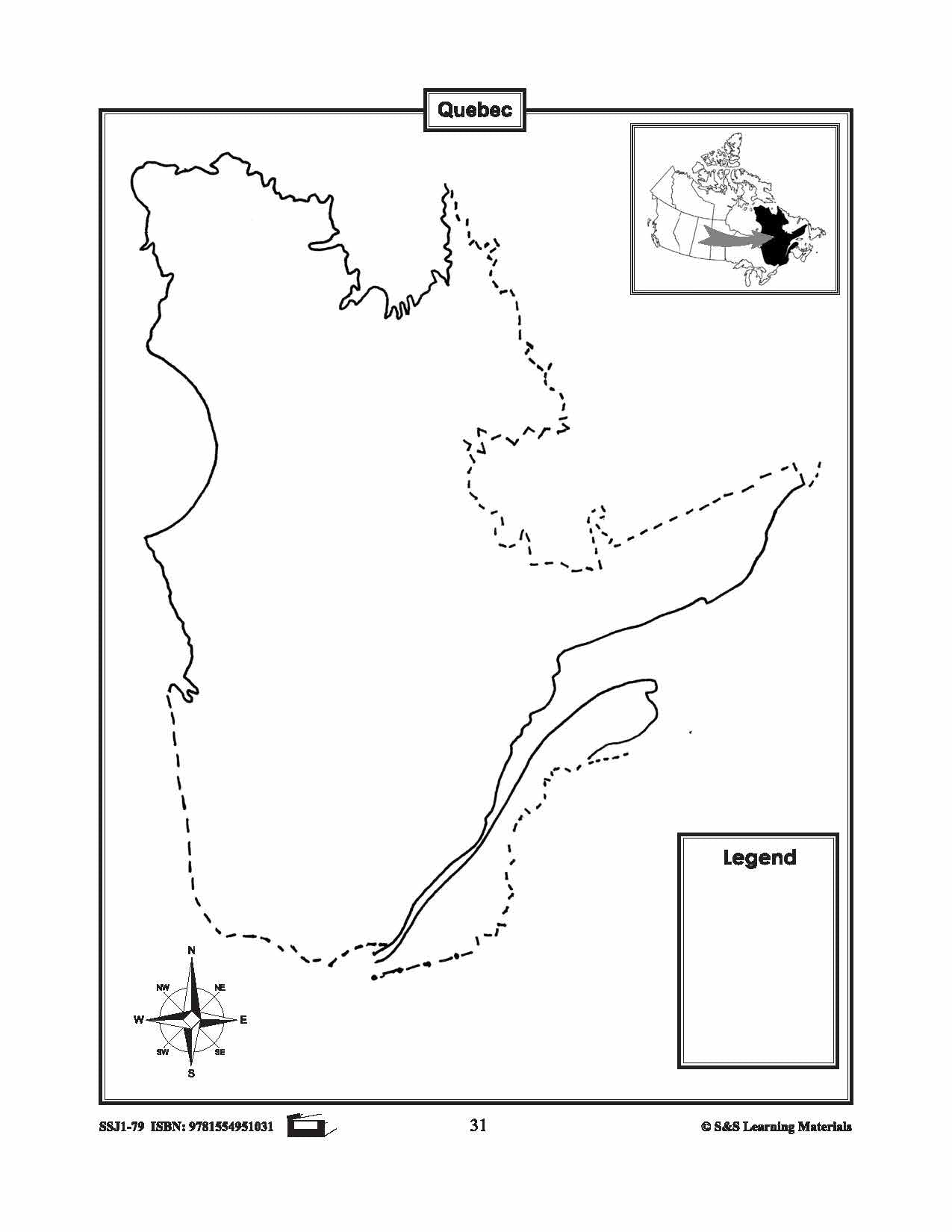
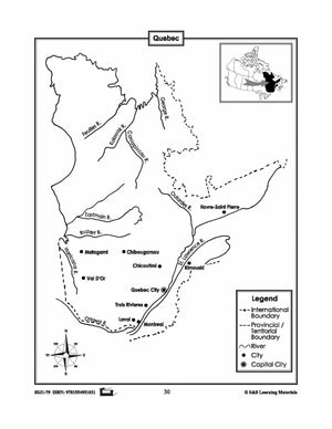
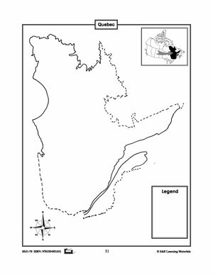
Maps of Quebec Grades 4-8
$3.45 CAD
The maps will help students learn about Quebec and its international and provincial/territorial boundary, rivers, landforms, the capital city, and other cities. 2 pages
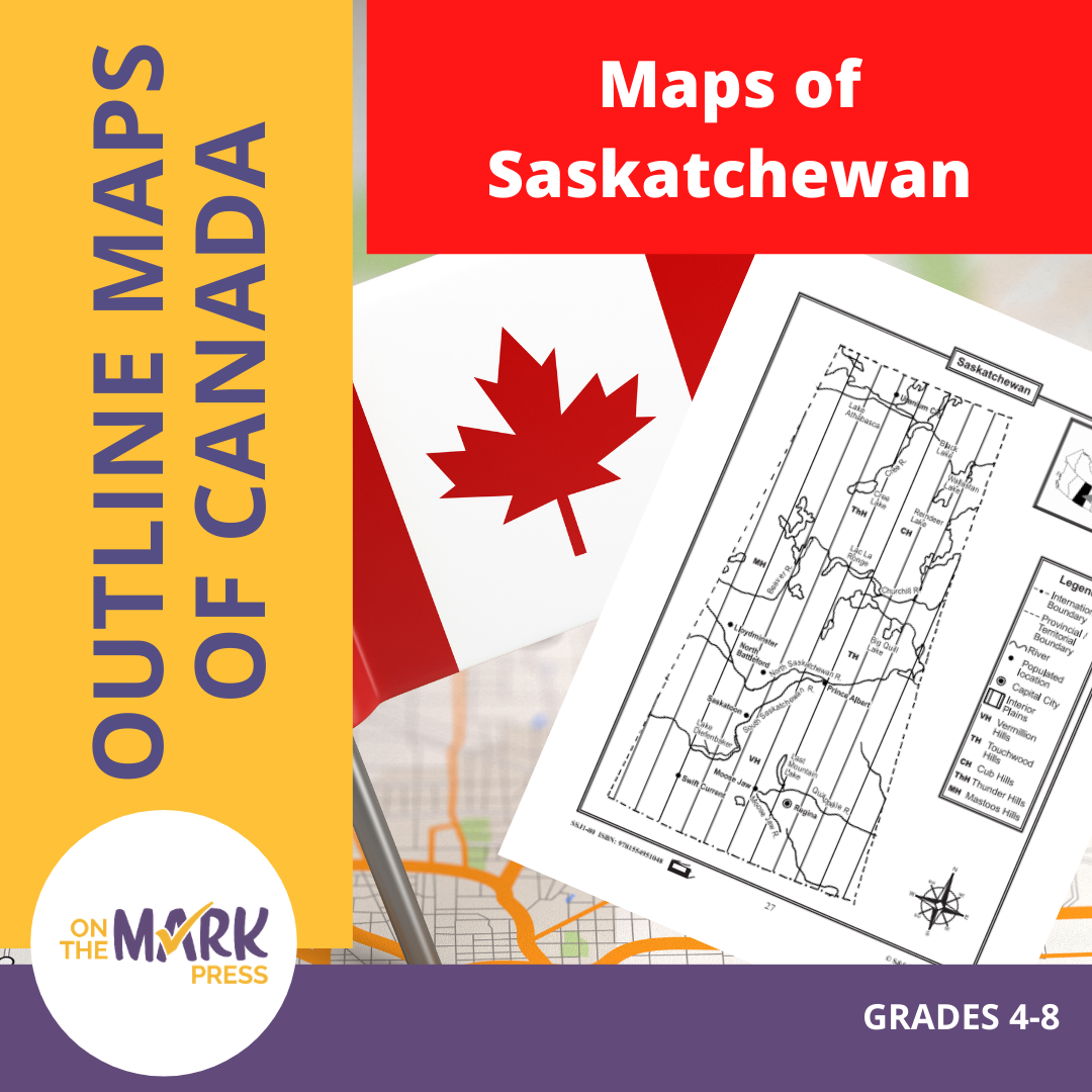


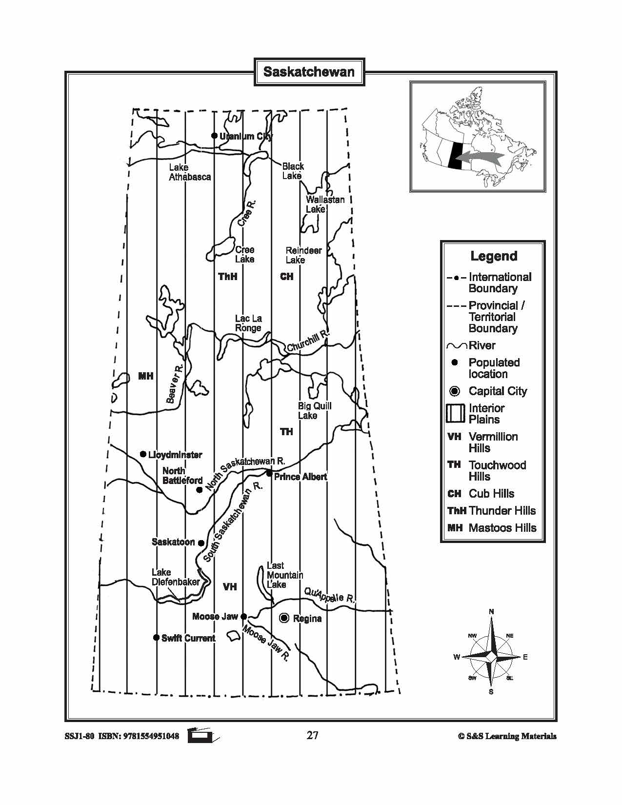


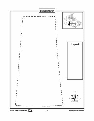
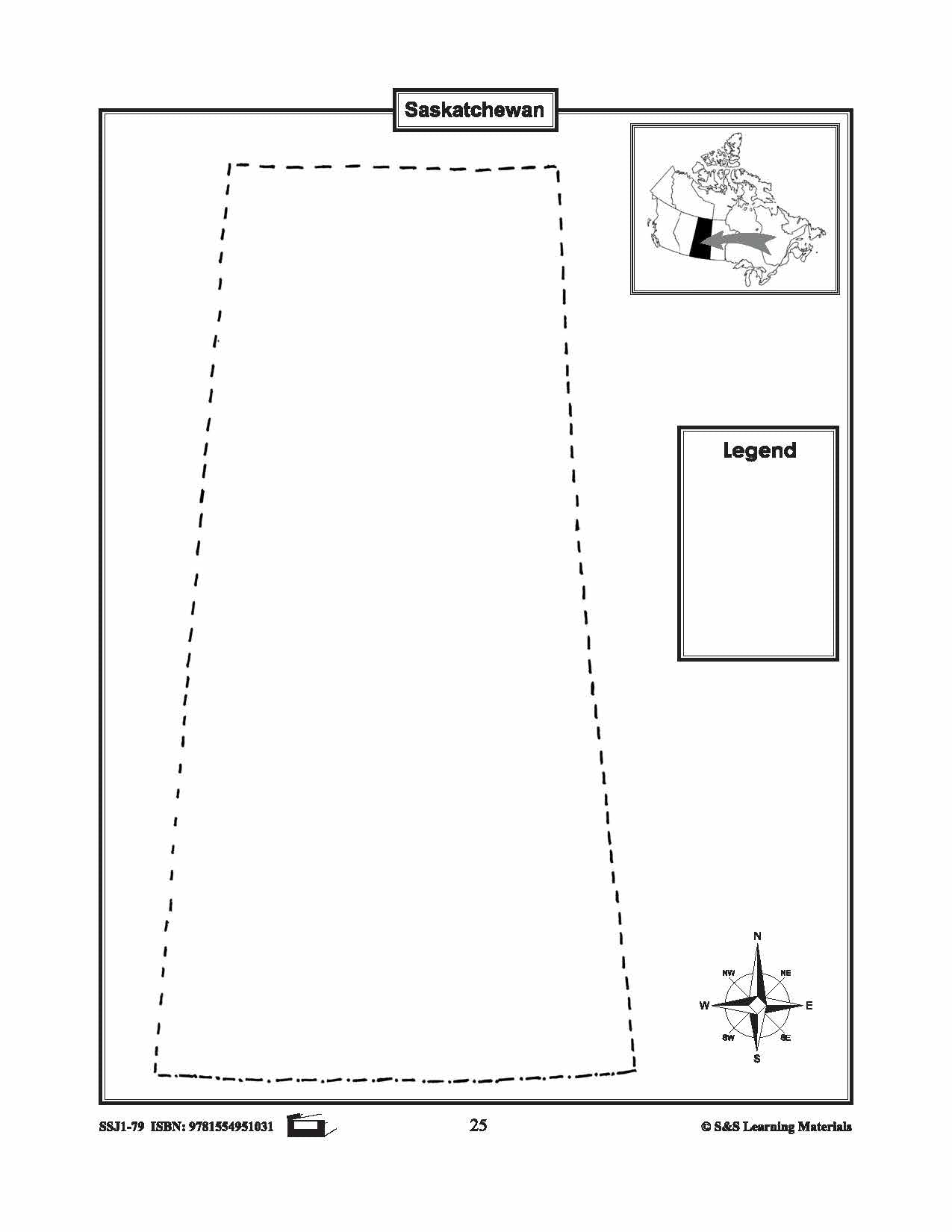
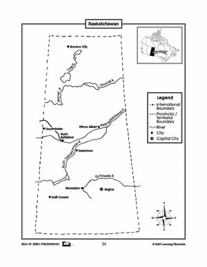
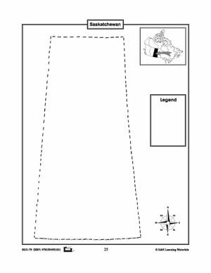
Maps of Saskatchewan Grades 4-8
$3.45 CAD
The maps will help students learn about Saskatchewan and its international and provincial/territorial boundary, rivers, landforms, the capital city, and other cities. 2 pages


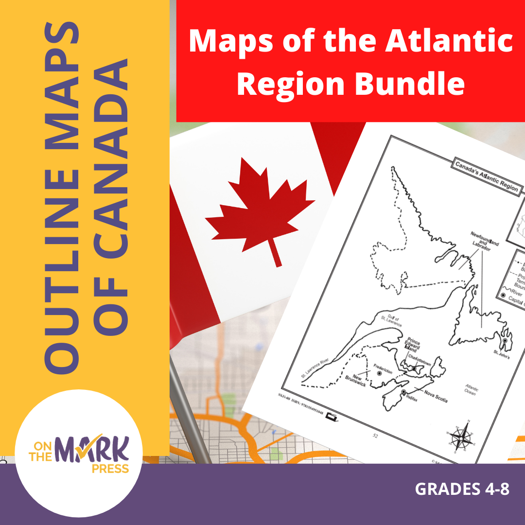


Maps of the Atlantic Region $avings Bundle! Grades 4-8
$3.45 CAD
These resources will help students learn about the Maritime provinces and help them to identify them on the Canadian map along with their capital cities and bordering bodies of water. 6 pages Subscribe to our Fan List!: Our FANlist newsletter is...
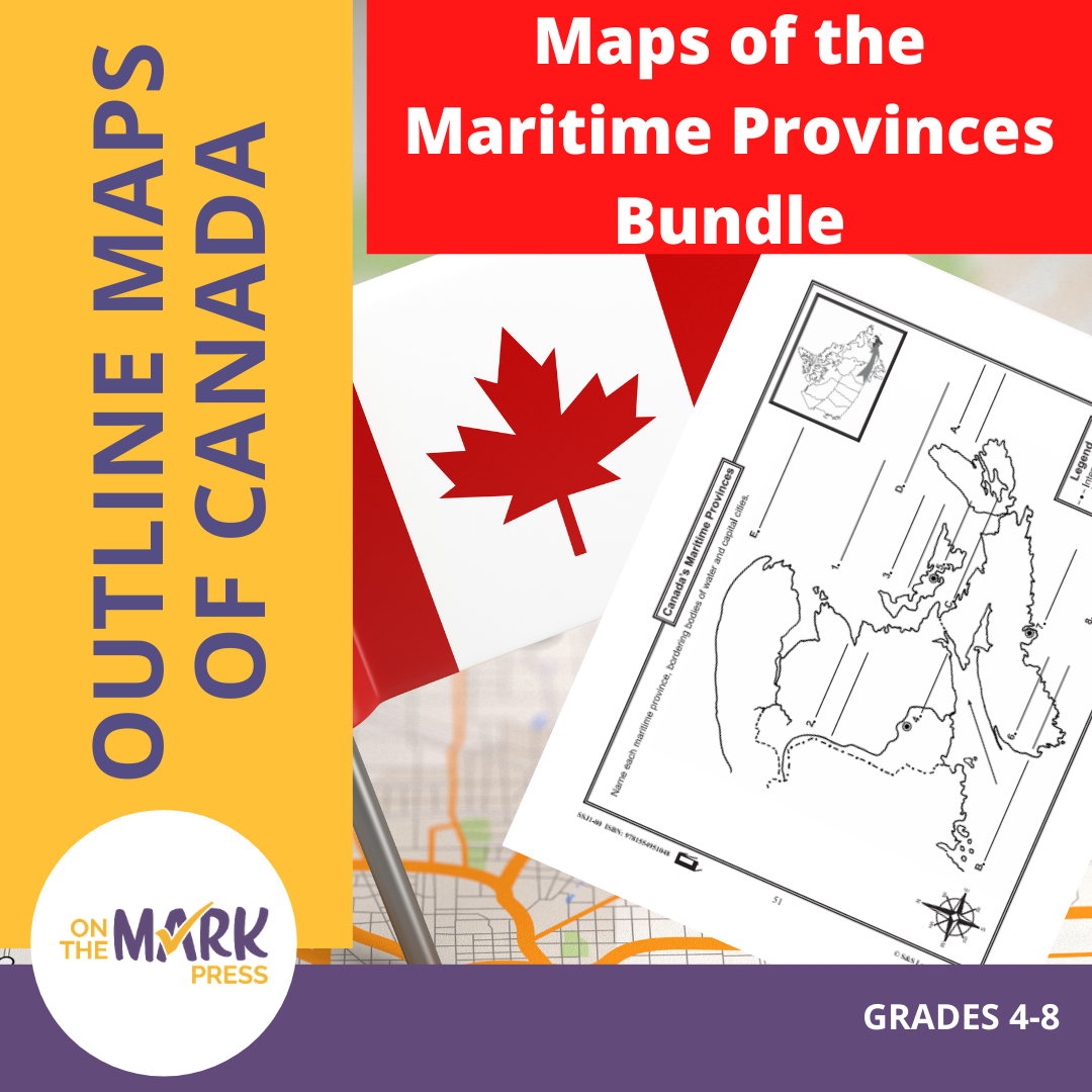


Maps of the Maritime Provinces $avings Bundle! Grades 4-8
$8.45 CAD
The maps will help students learn about the Maritime provinces and their international and provincial/territorial boundary, rivers, landforms, the capital city, and other cities. 6 pages Subscribe to our Fan List!: Our FANlist newsletter is full of tips on ways to save time...