
E Lesson Plan


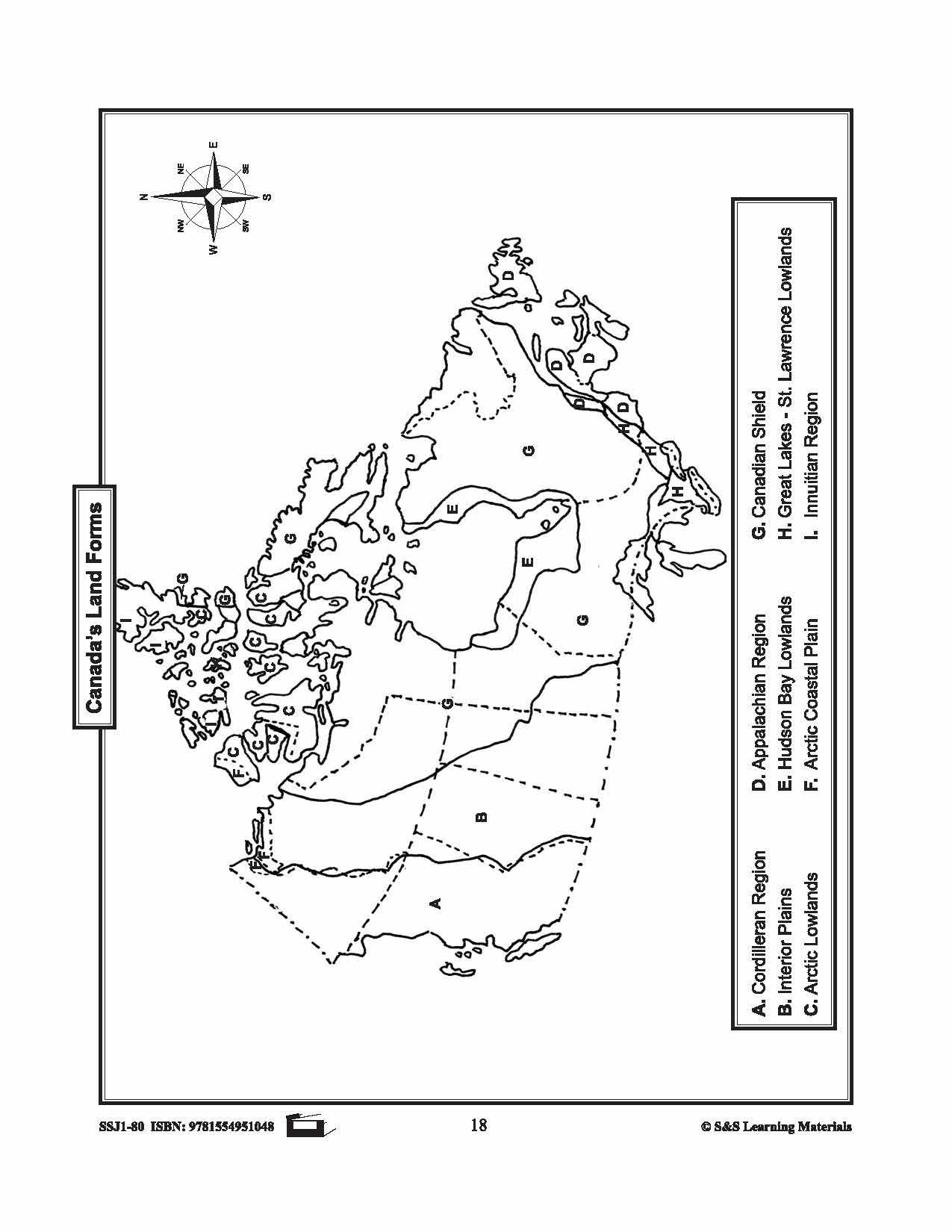
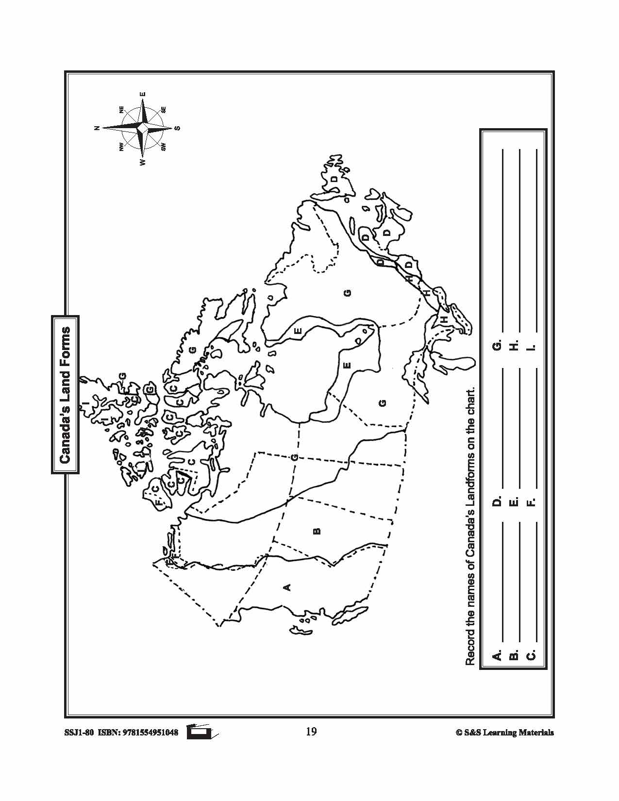
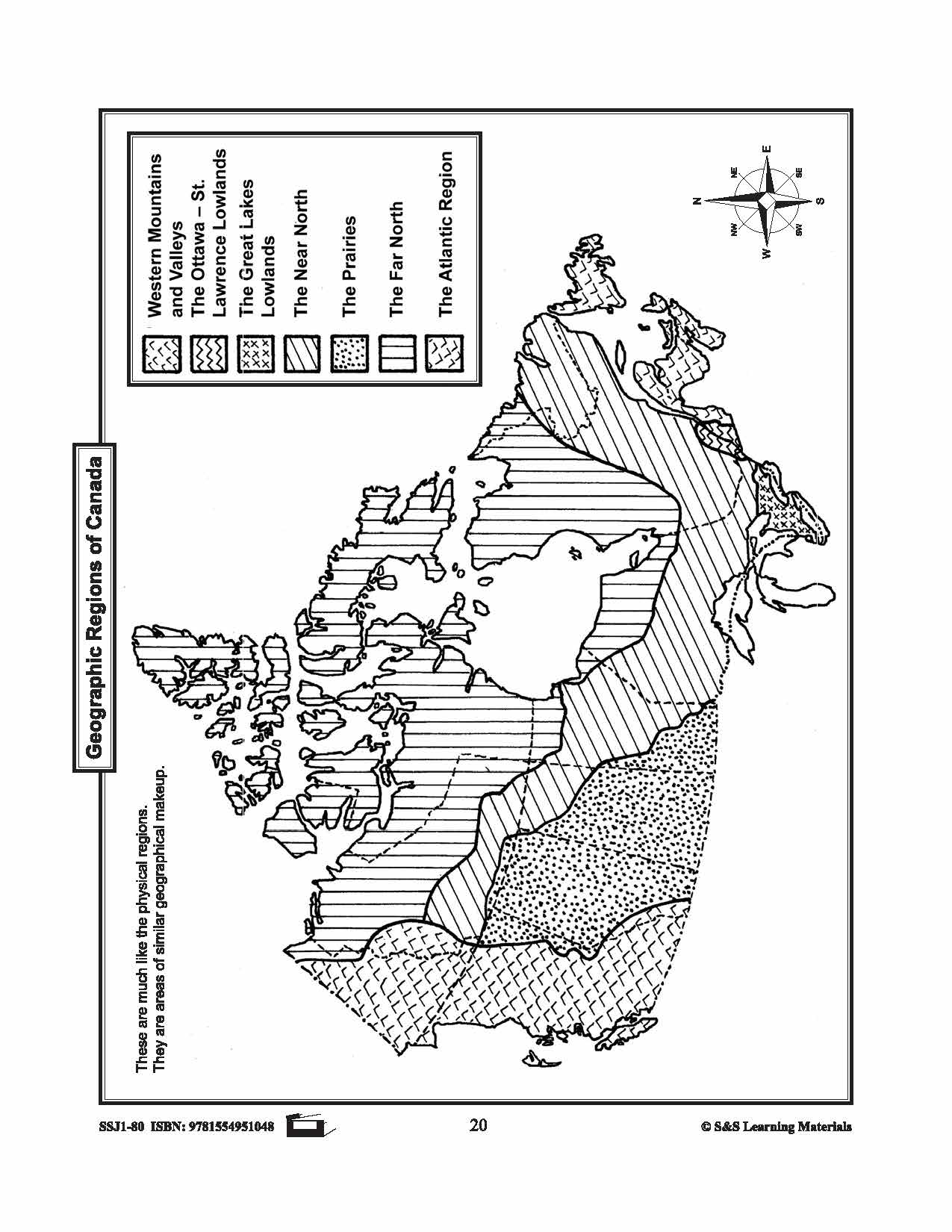


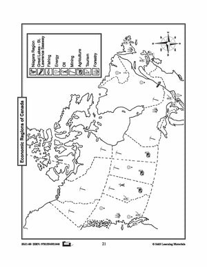
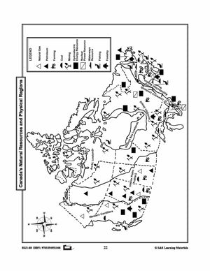
Maps of Canada's Landforms, Regions & Resources Grades 4-8
$5.45 CAD
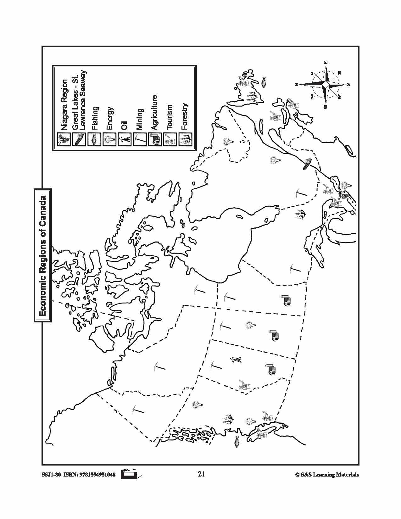
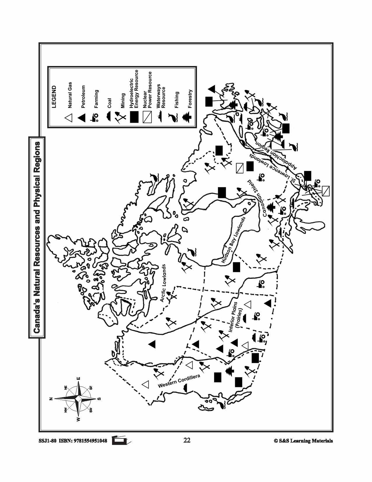
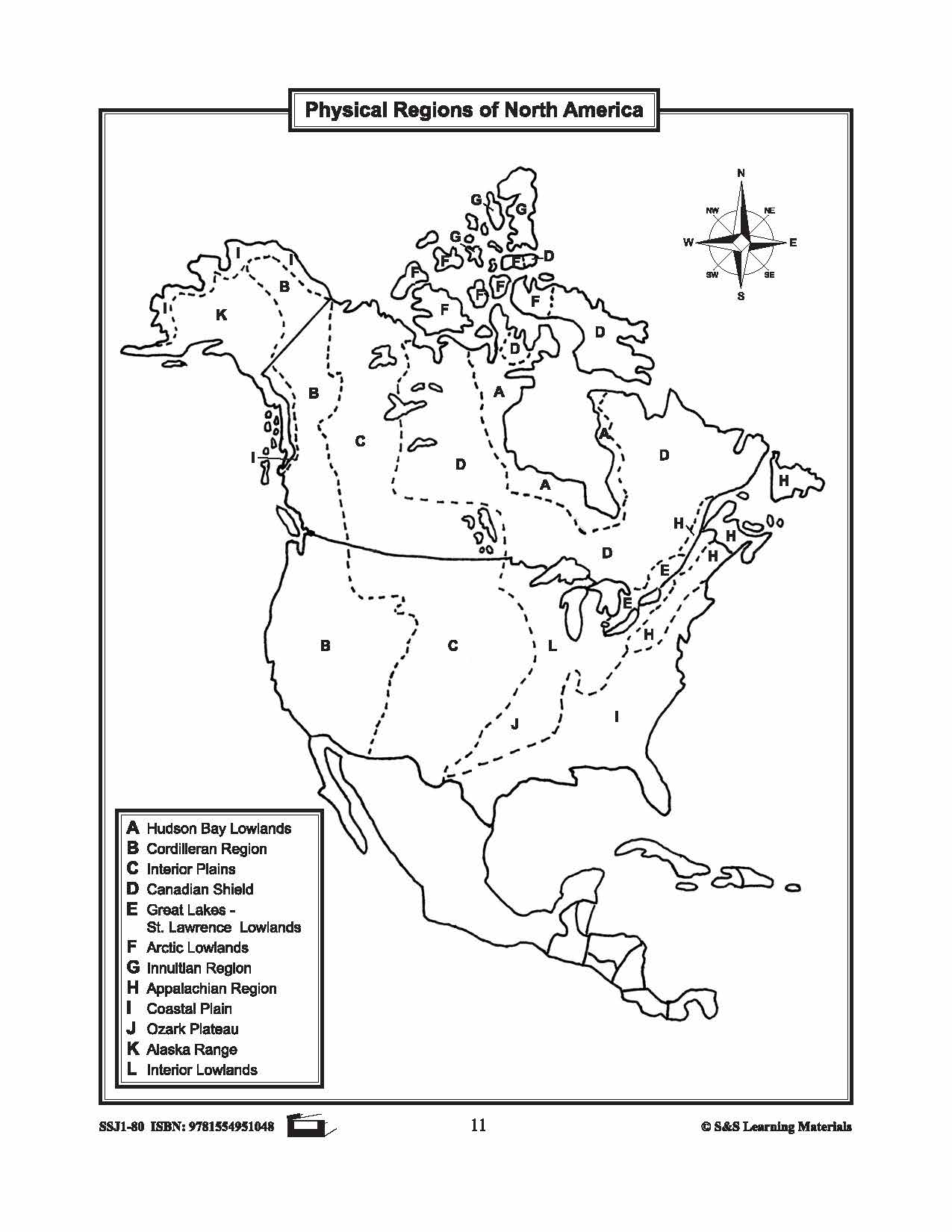
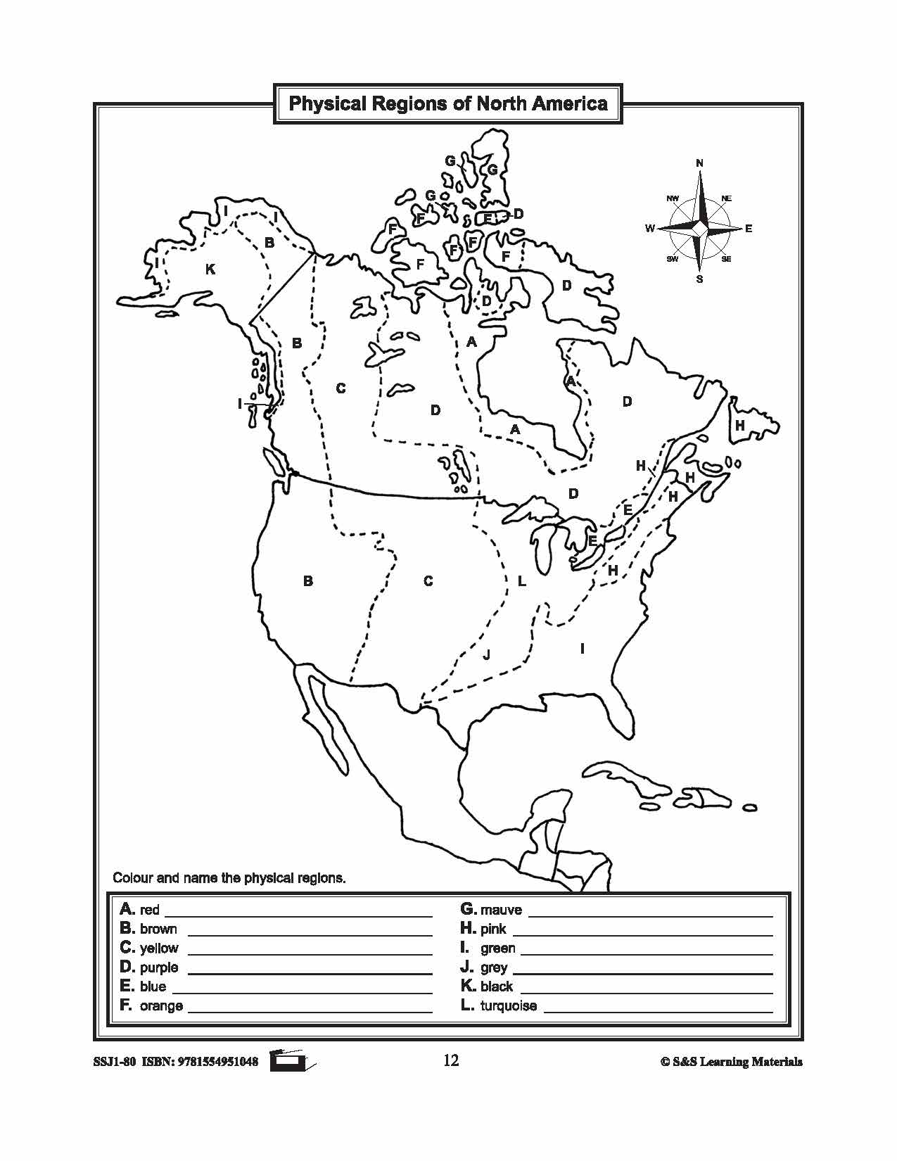
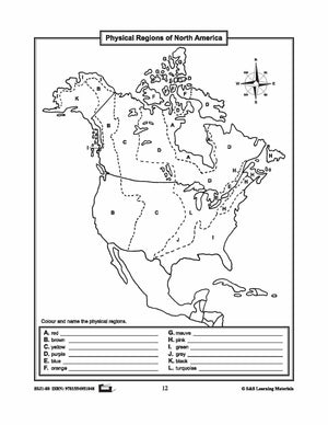
The maps will help students learn about Canada's landforms, geographic regions of Canada, economic regions, natural resources, and physical regions of Canada. 6 pages
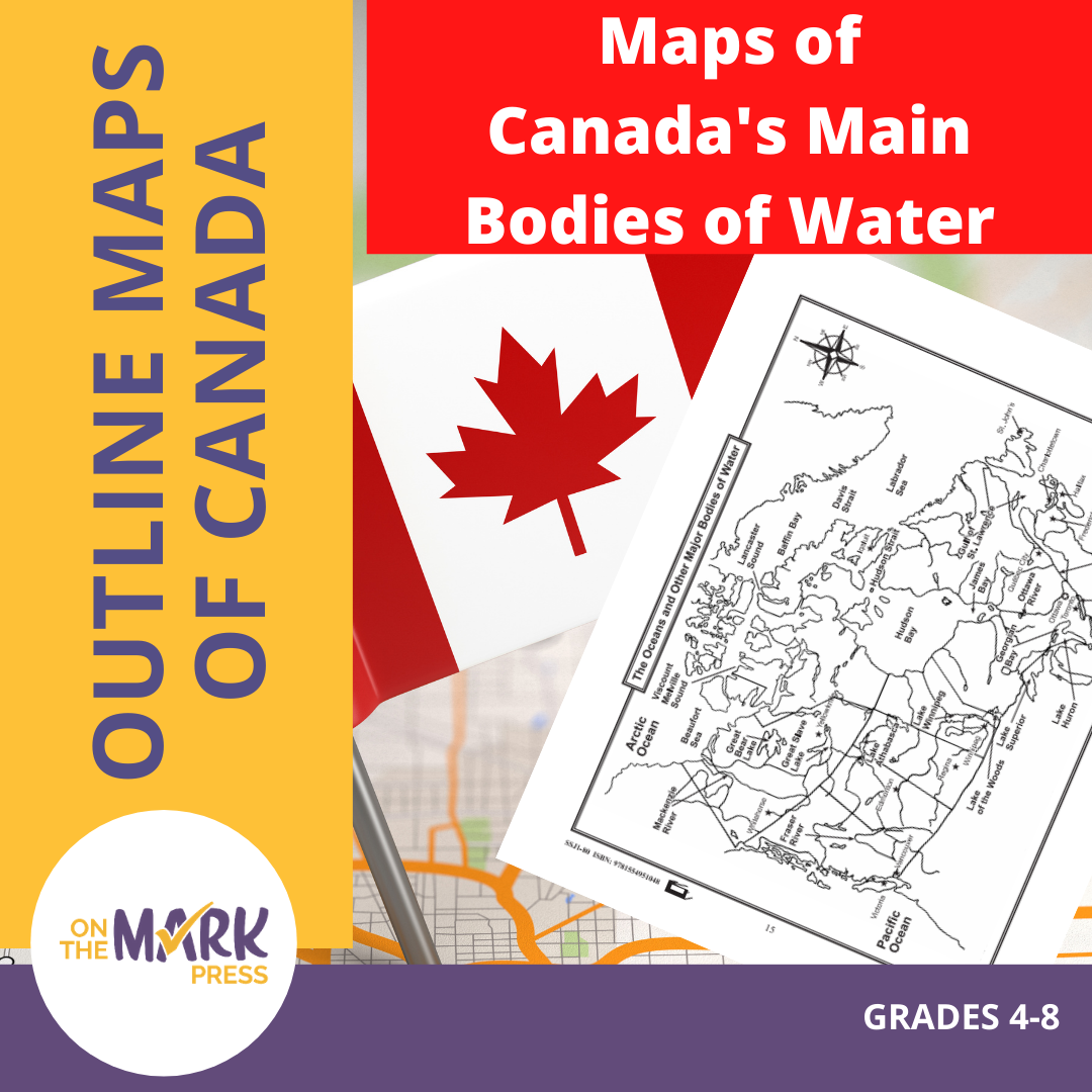


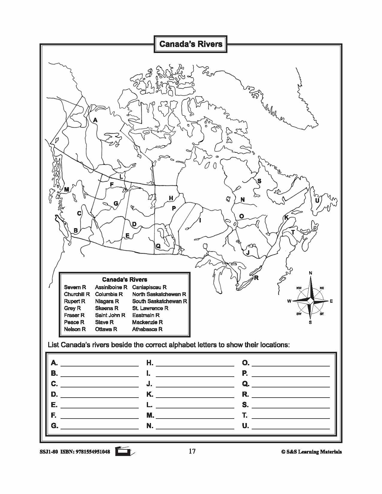
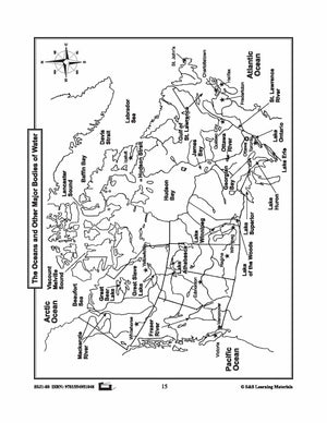
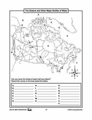

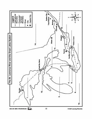
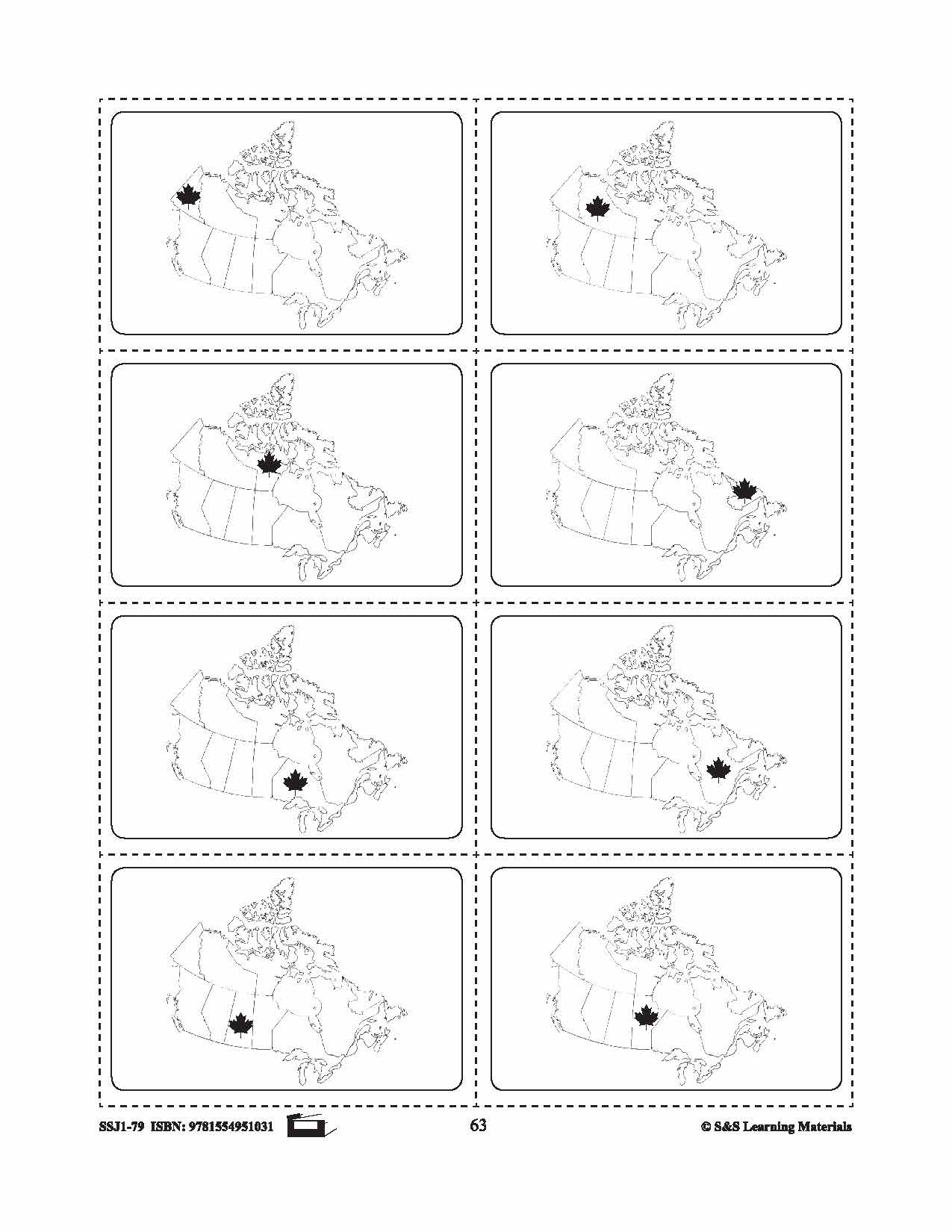
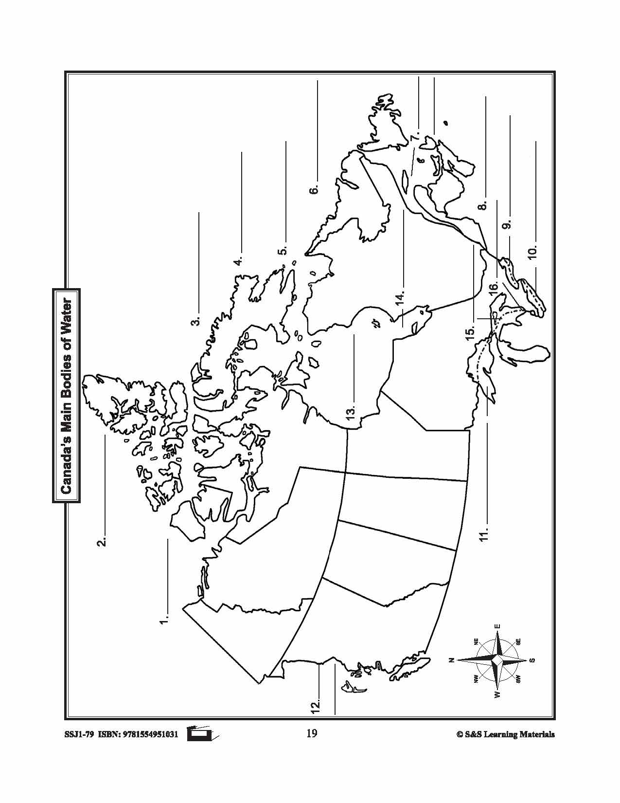
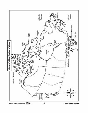
Maps of Canada's Main Bodies of Water Grades 4-8
$4.45 CAD
The maps will help students to recognize and locate Canada's main bodies of water, and discover rivers and lakes in each province or territory. 4 Pages

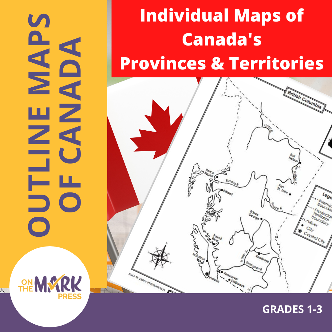


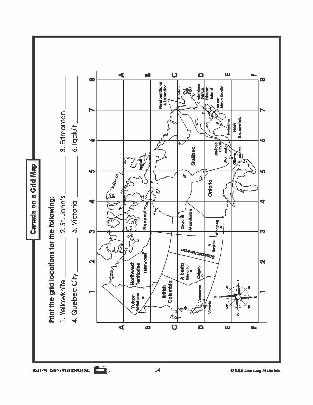
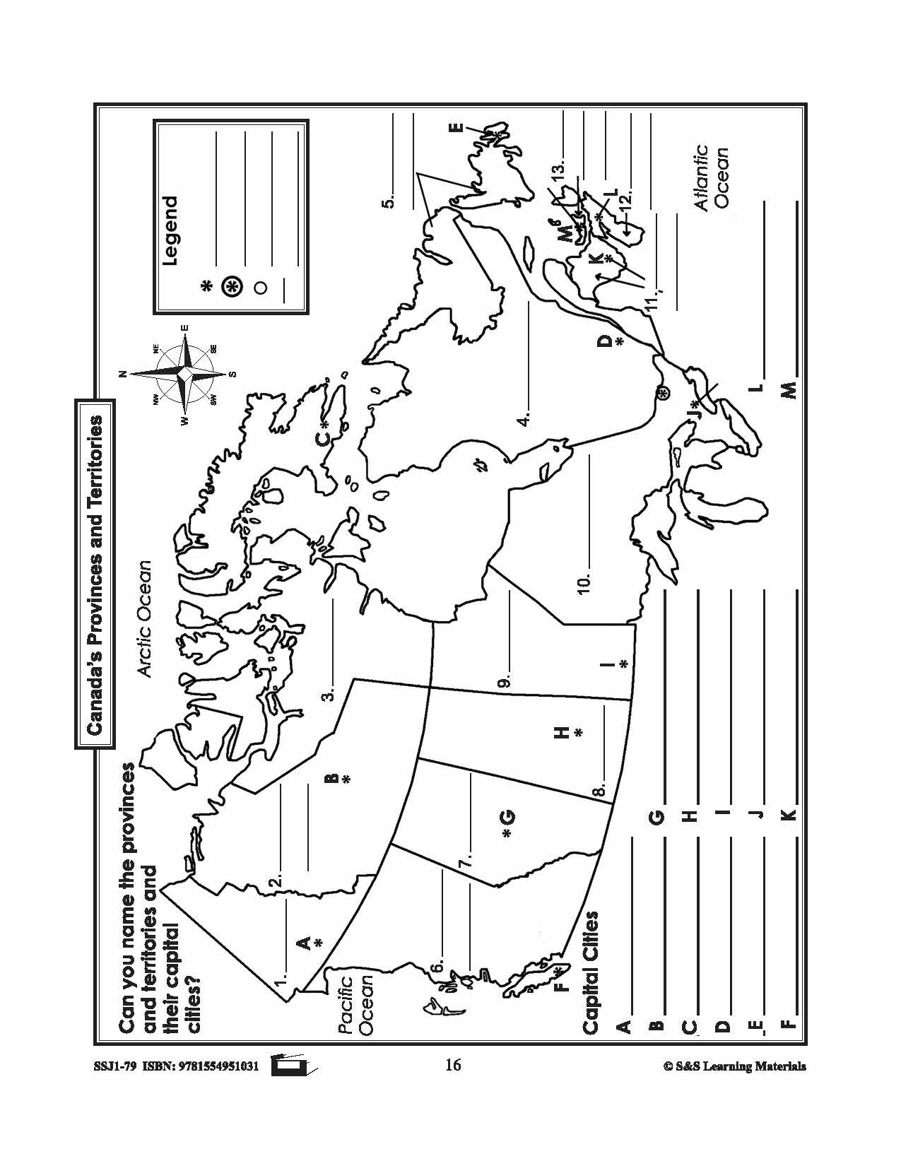
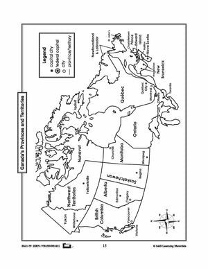
Individual Maps of Canada's Provinces & Territories Grades 1-3
$6.45 CAD
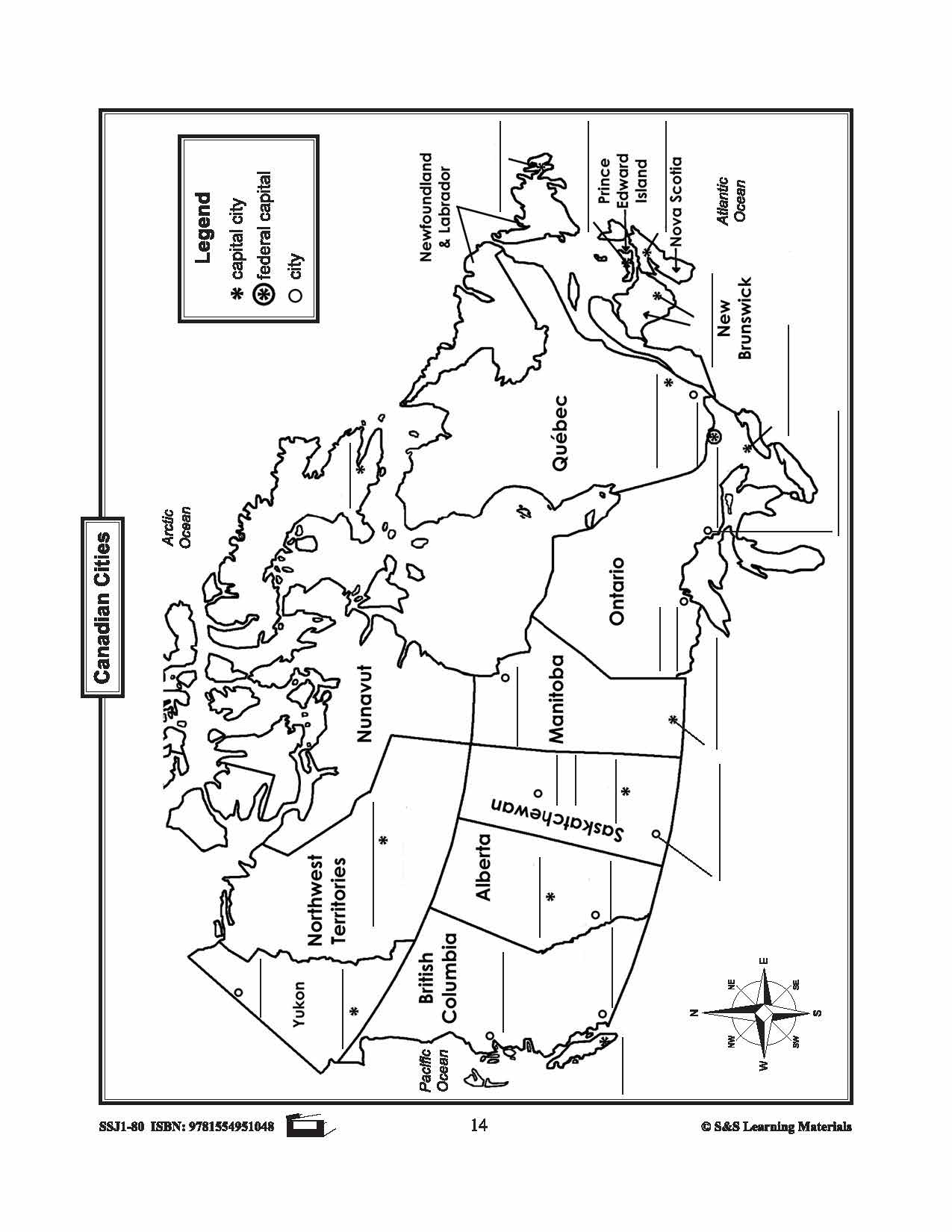
This package includes two maps for each province and territory in Canada. The first map supplies locations for major cities and rivers. The second map is blank and could be used for a variety of purposes from locating and labeling...


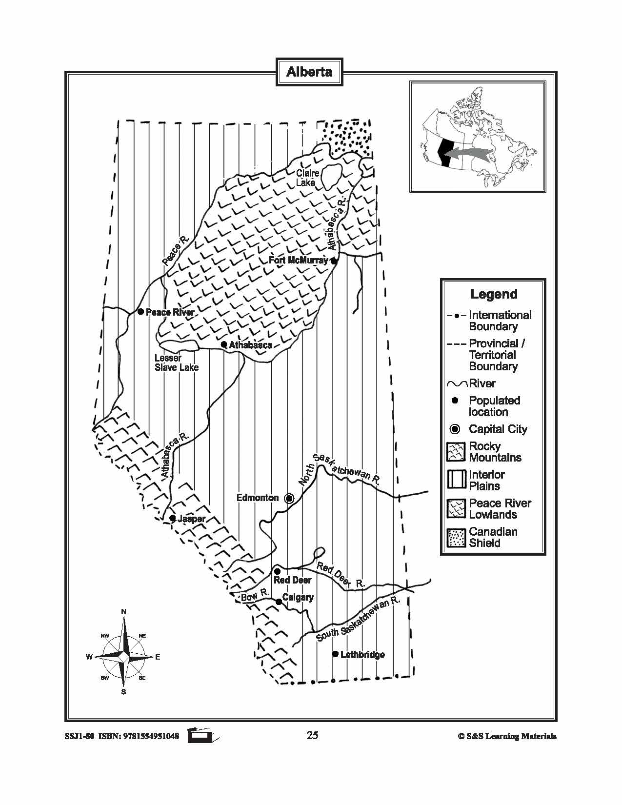


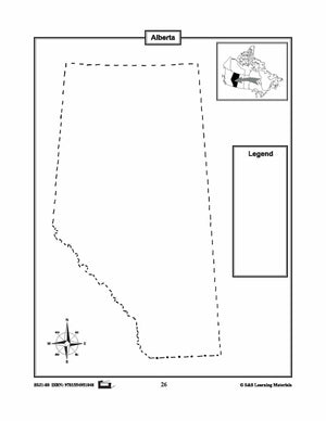
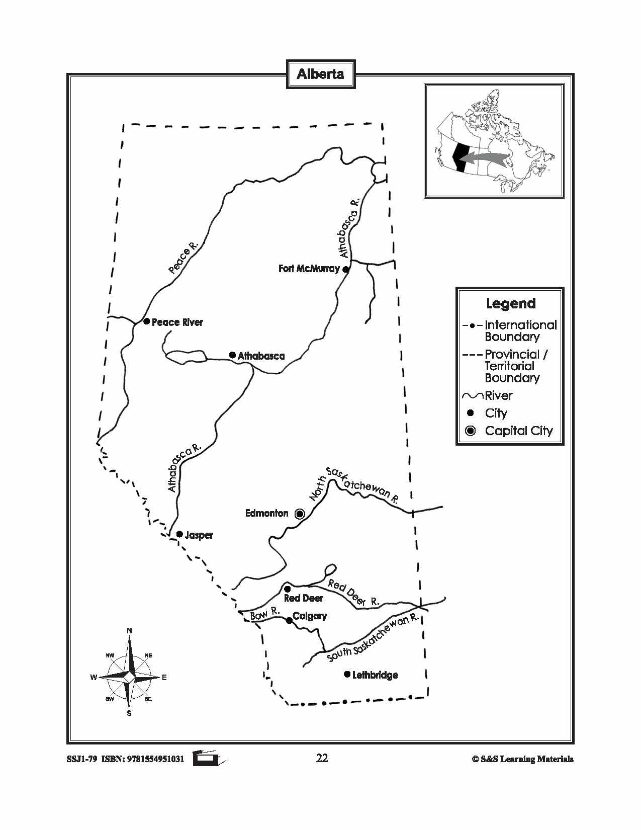
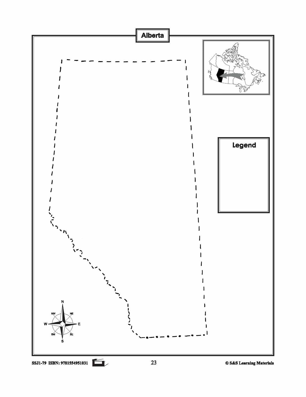
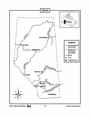
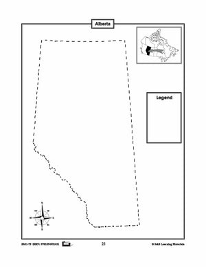
Maps of Alberta Grades 4-8
$3.45 CAD
The maps will help students learn about Alberta and its international and provincial/territorial boundary, rivers, landforms, the capital city, and other cities. 2 pages


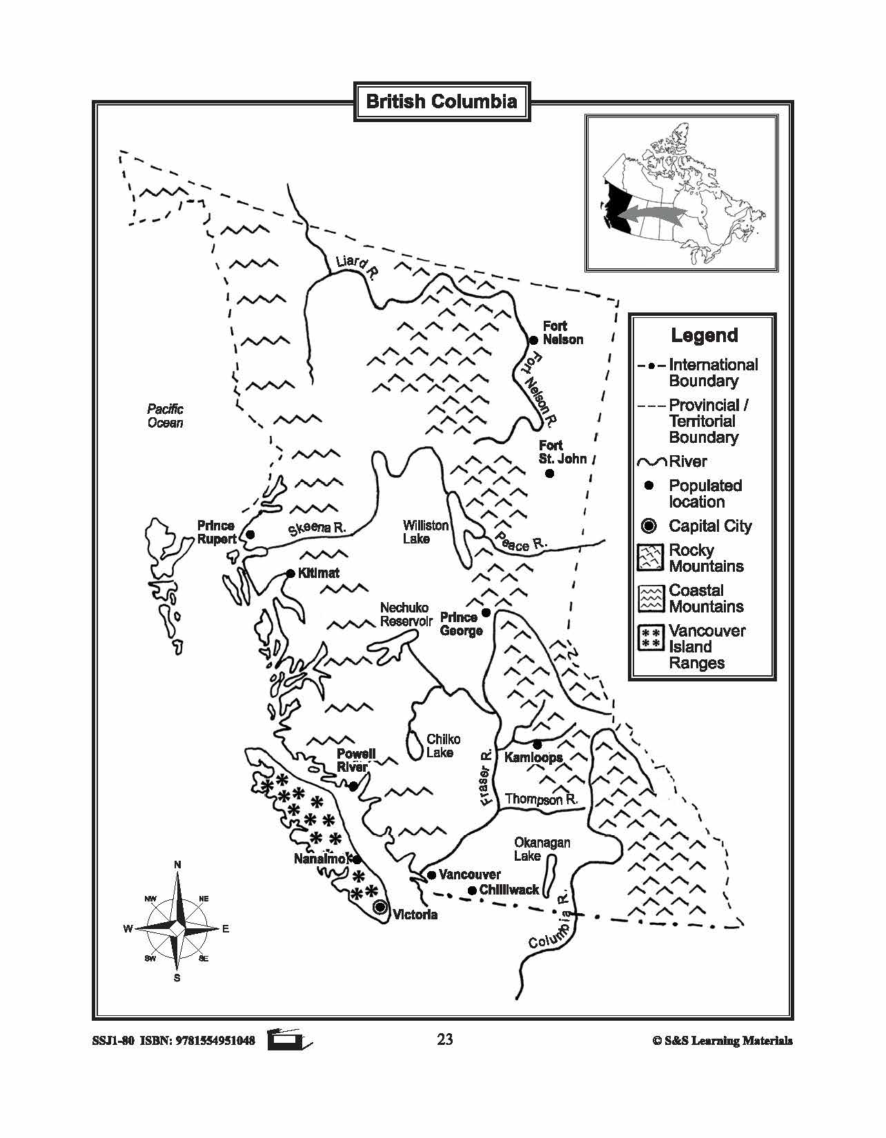

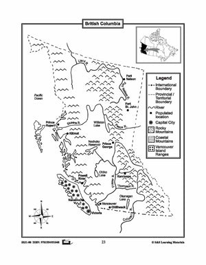
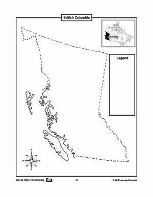
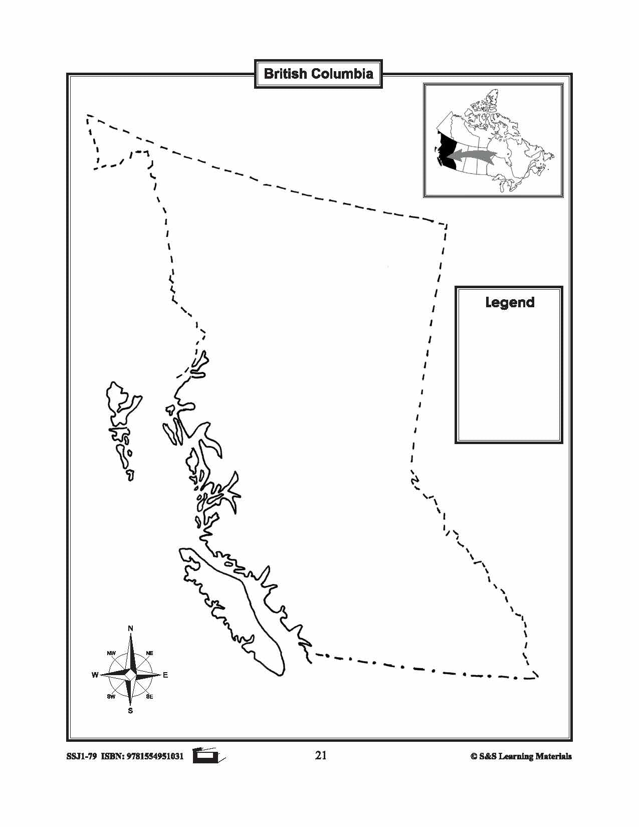
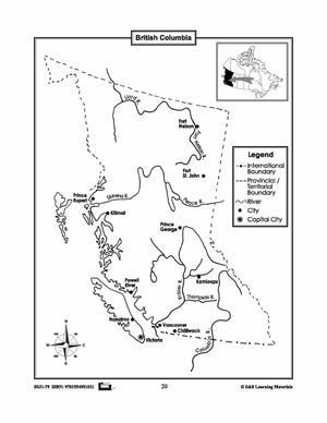
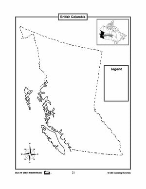
Maps of British Columbia Grades 4-8
$3.45 CAD
The maps will help students learn about British Columbia and its international and provincial/territorial boundary, rivers, landforms, the capital city, and other cities. 2 pages


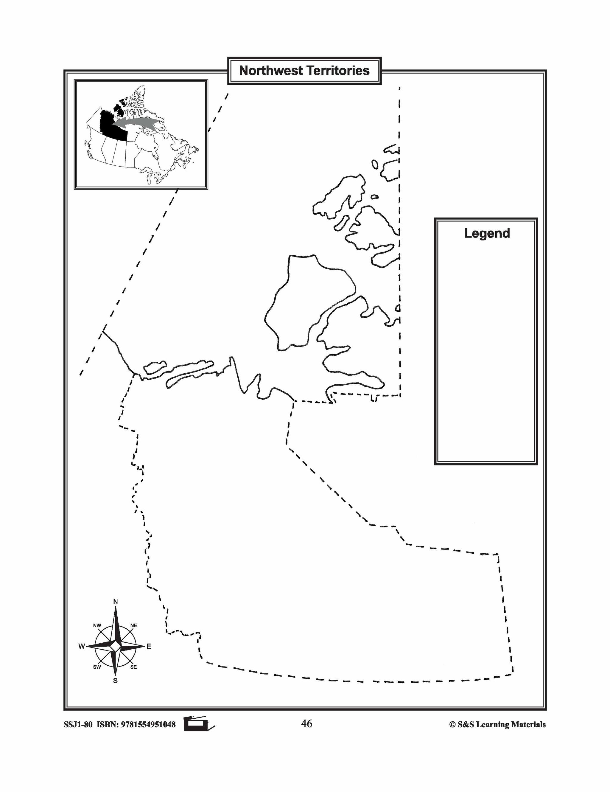
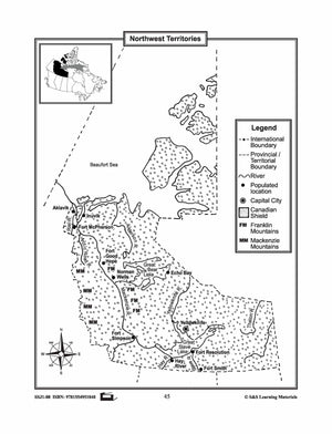
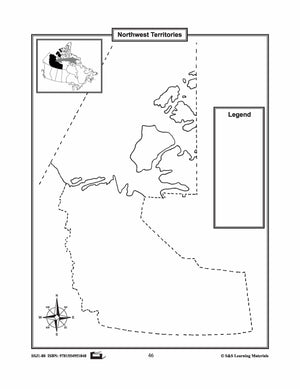
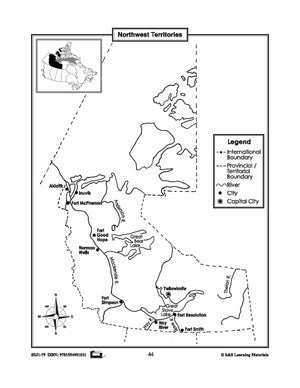
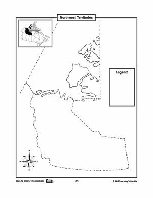
Maps of the Northwest Territories Grades 4-8
$3.45 CAD
The maps will help students learn about the Northwest Territories and its provincial/territorial boundary, rivers, landforms, the capital city, and other cities. 2 pages

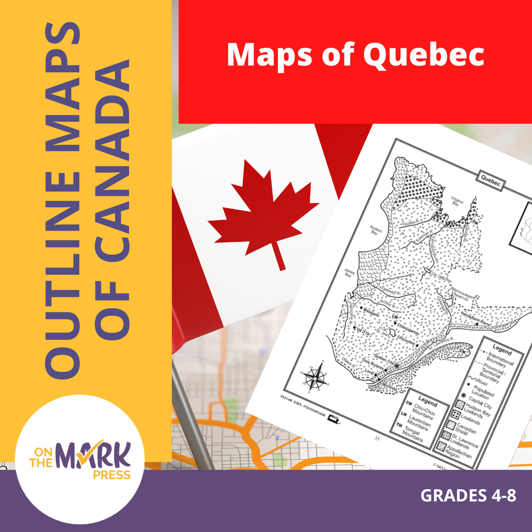

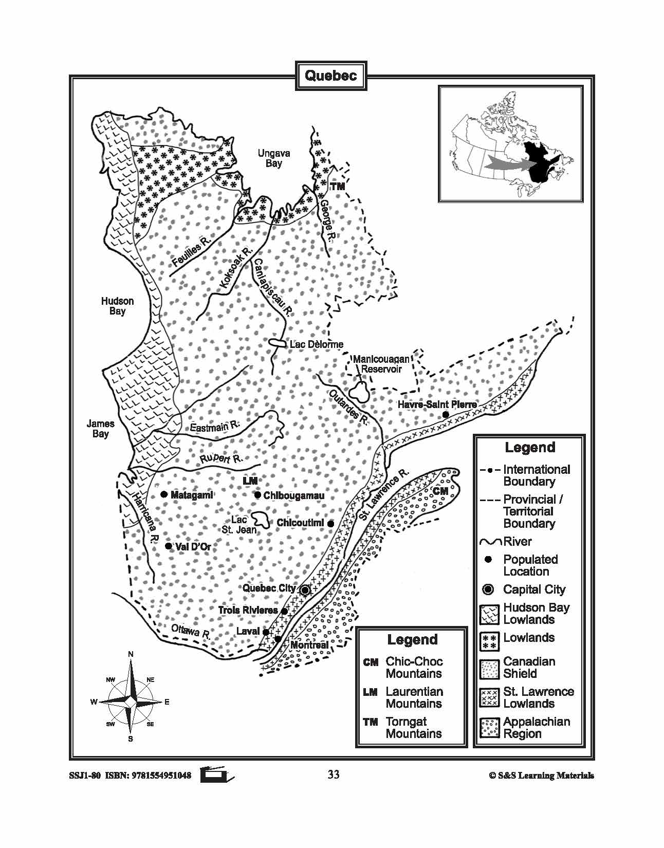


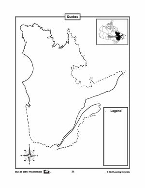
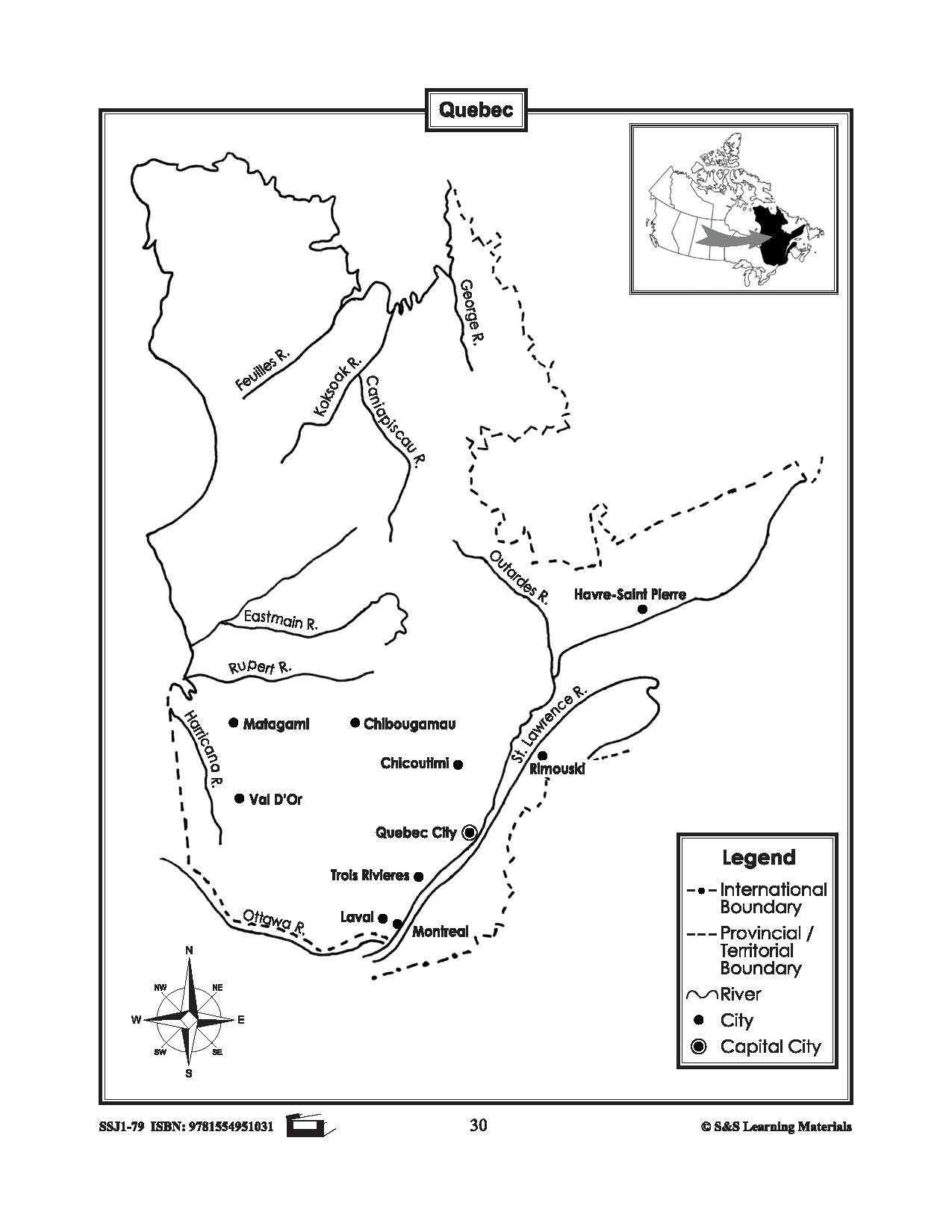
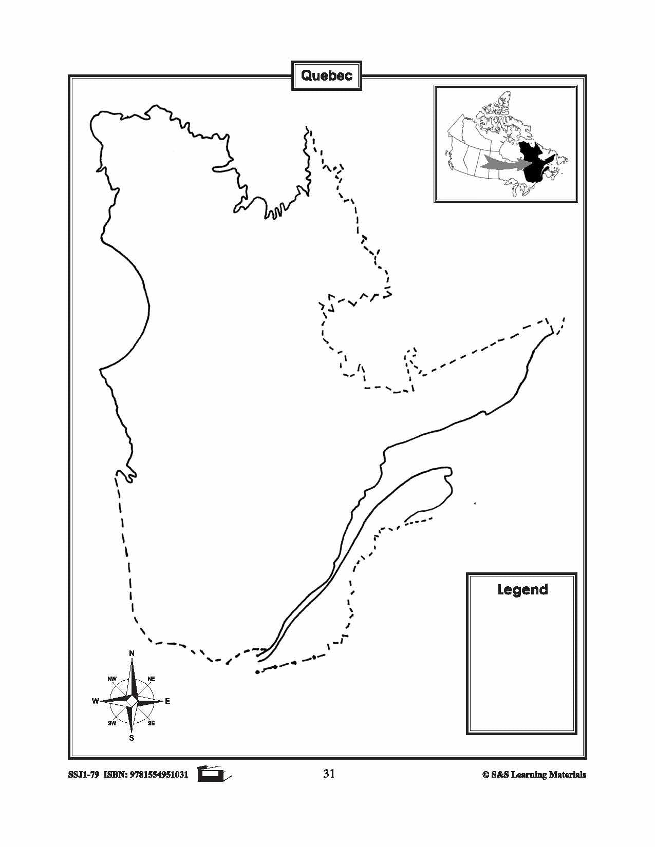
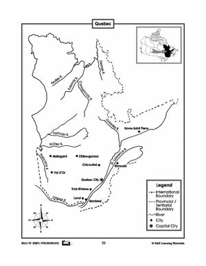
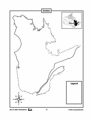
Maps of Quebec Grades 4-8
$3.45 CAD
The maps will help students learn about Quebec and its international and provincial/territorial boundary, rivers, landforms, the capital city, and other cities. 2 pages

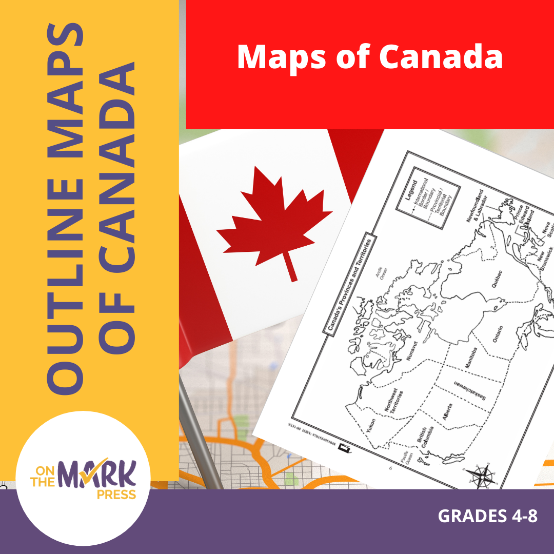

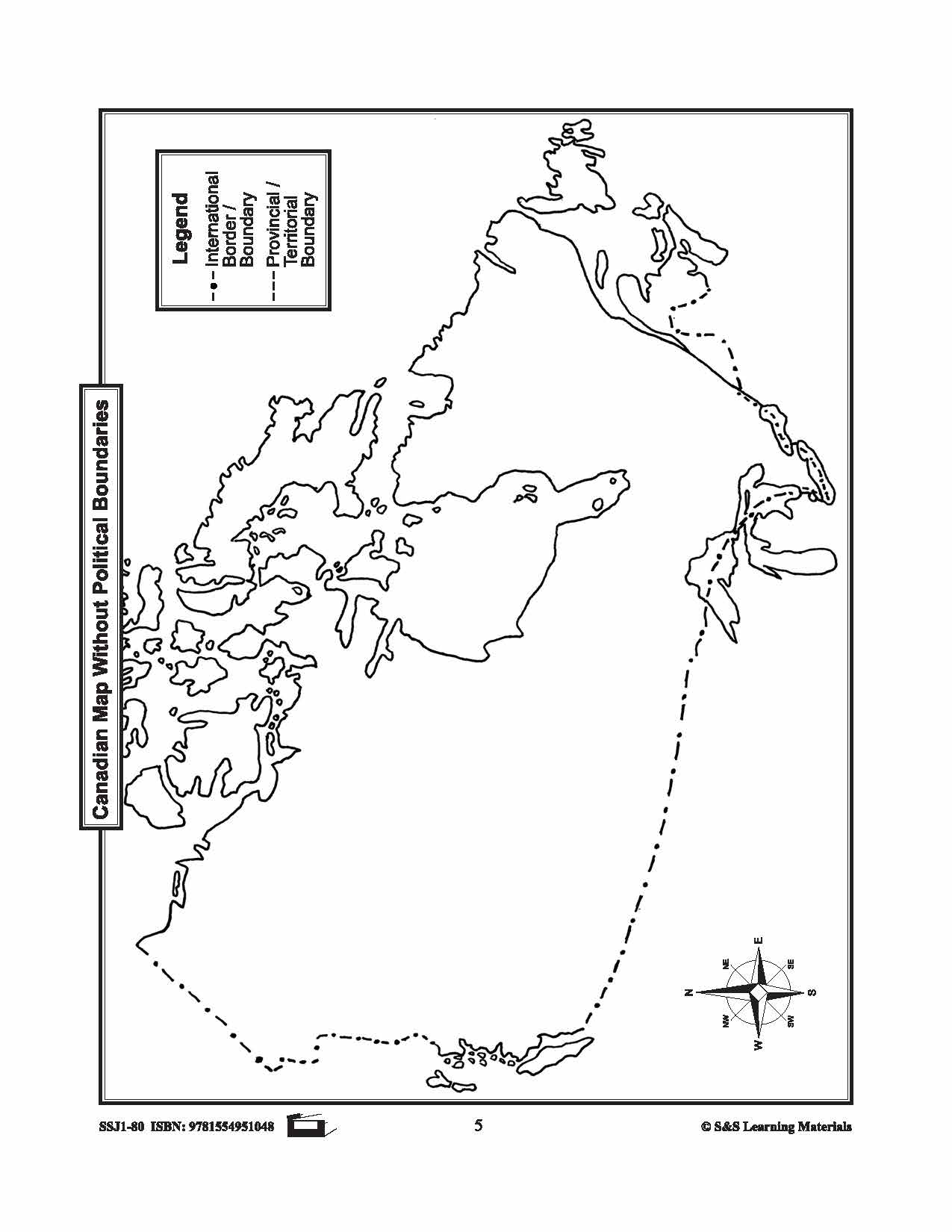
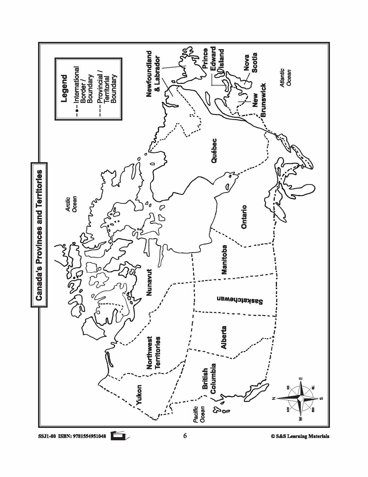
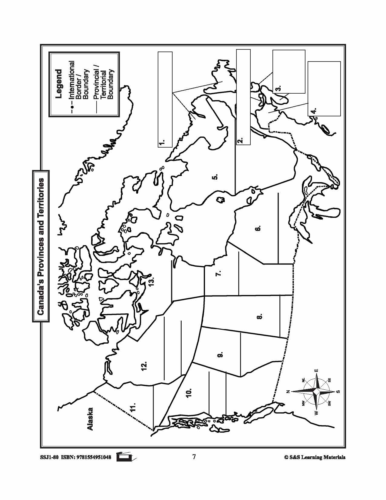
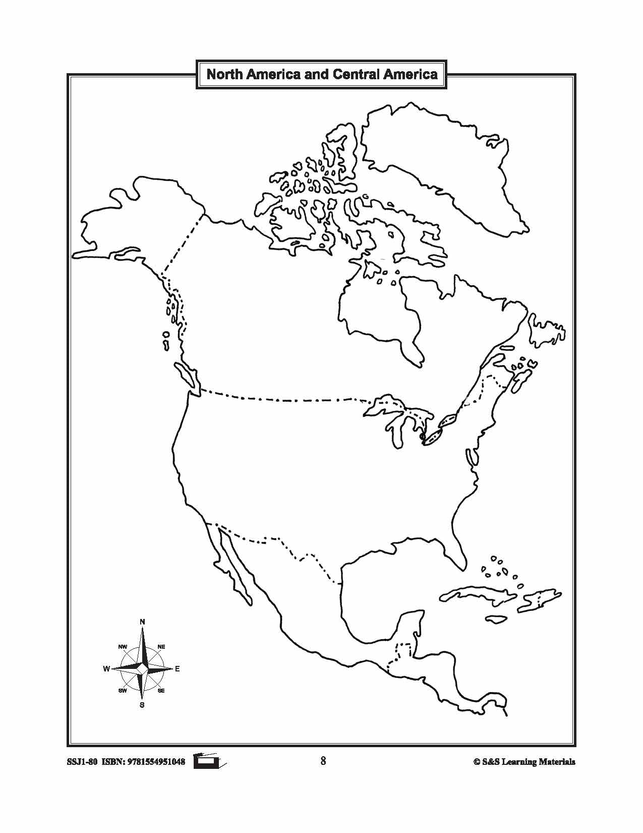

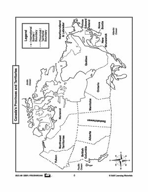


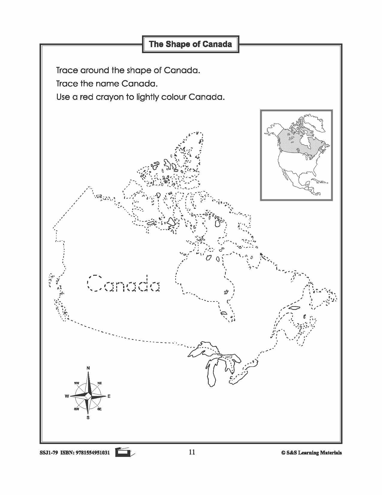
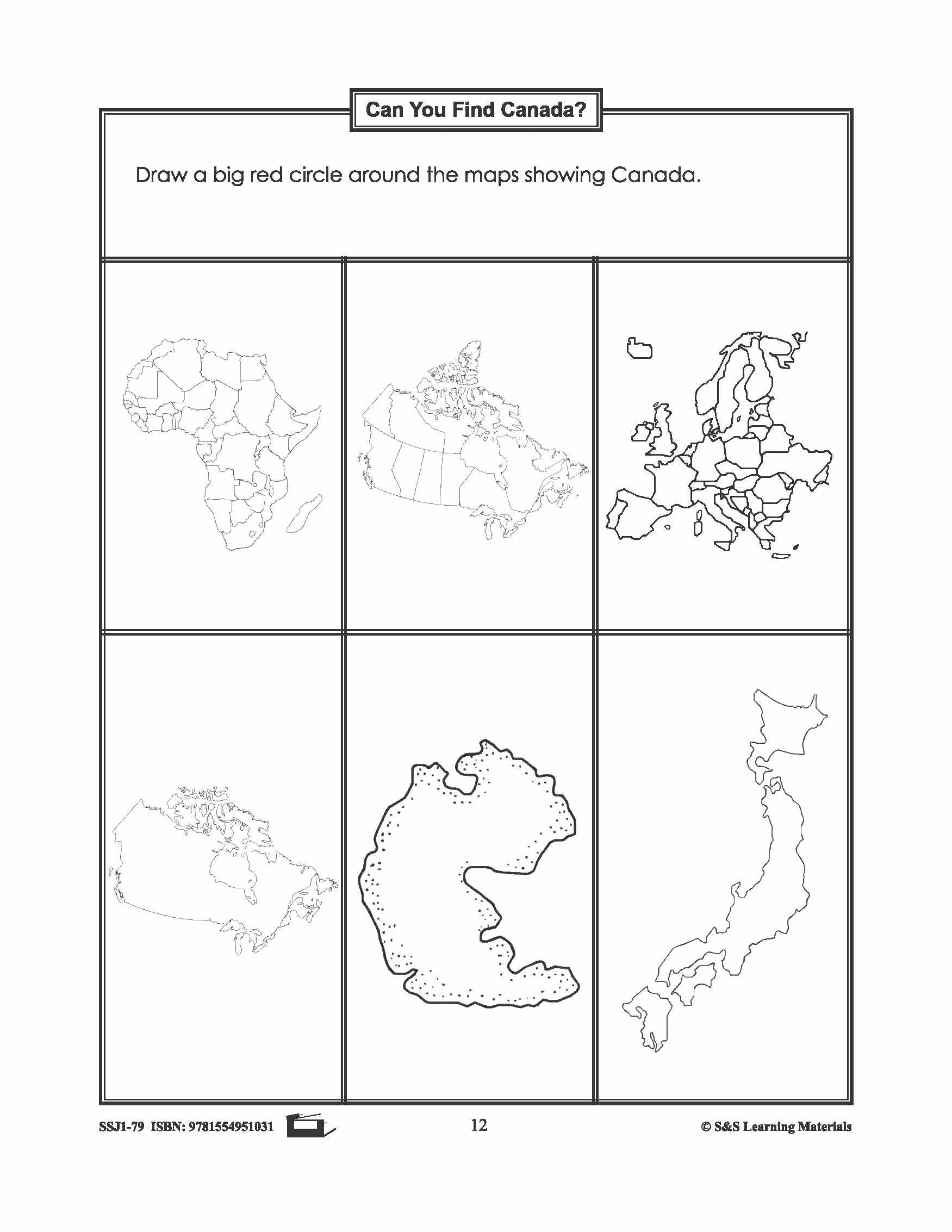
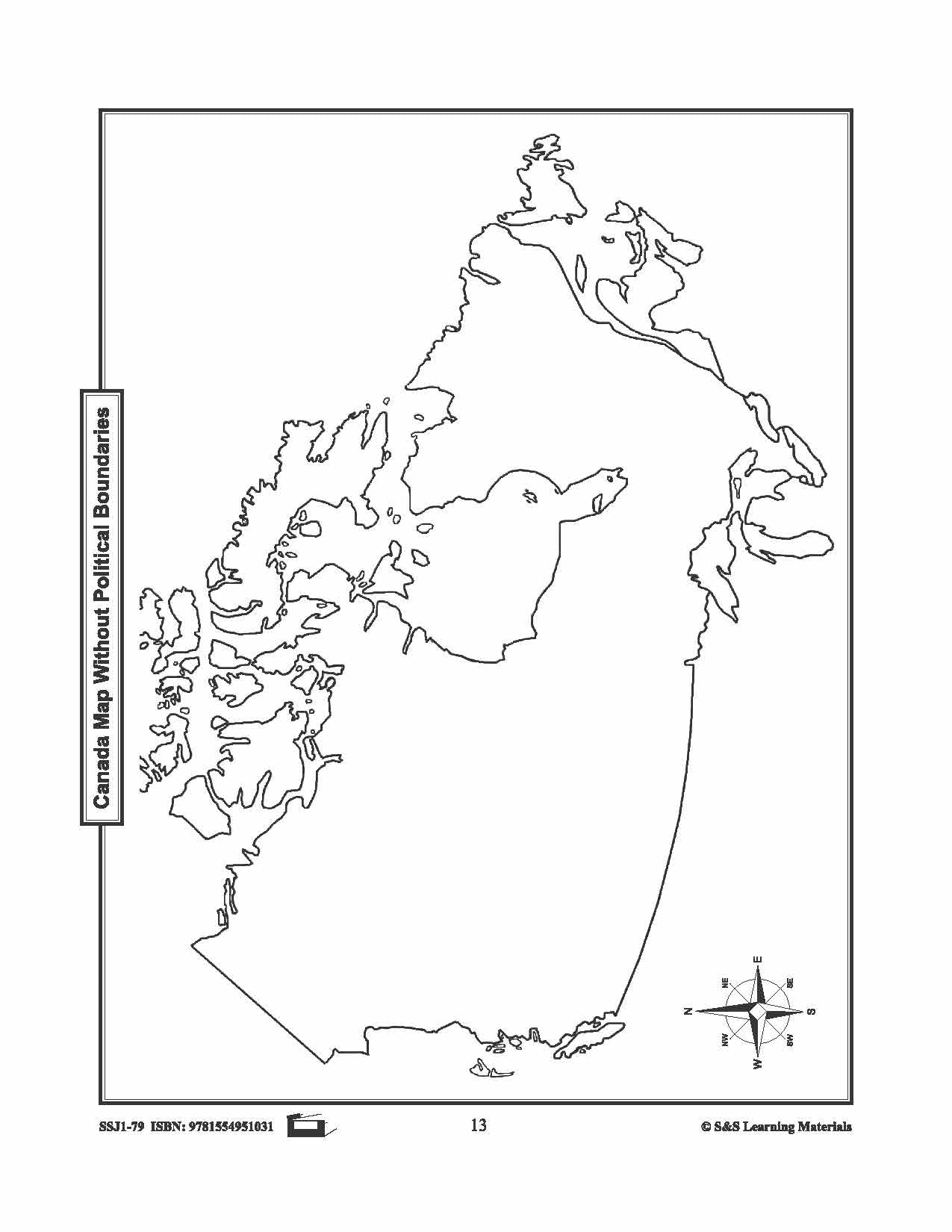
Maps of Canada Grades 4-8
$6.95 CAD
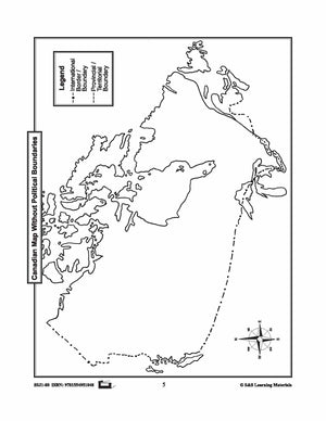
The maps can be used to teach or review the use of directions on a compass rose, symbols on a legend, and mapping terms such as border, boundary, and hemisphere. They will help students: recognize the shape of Canada locate...


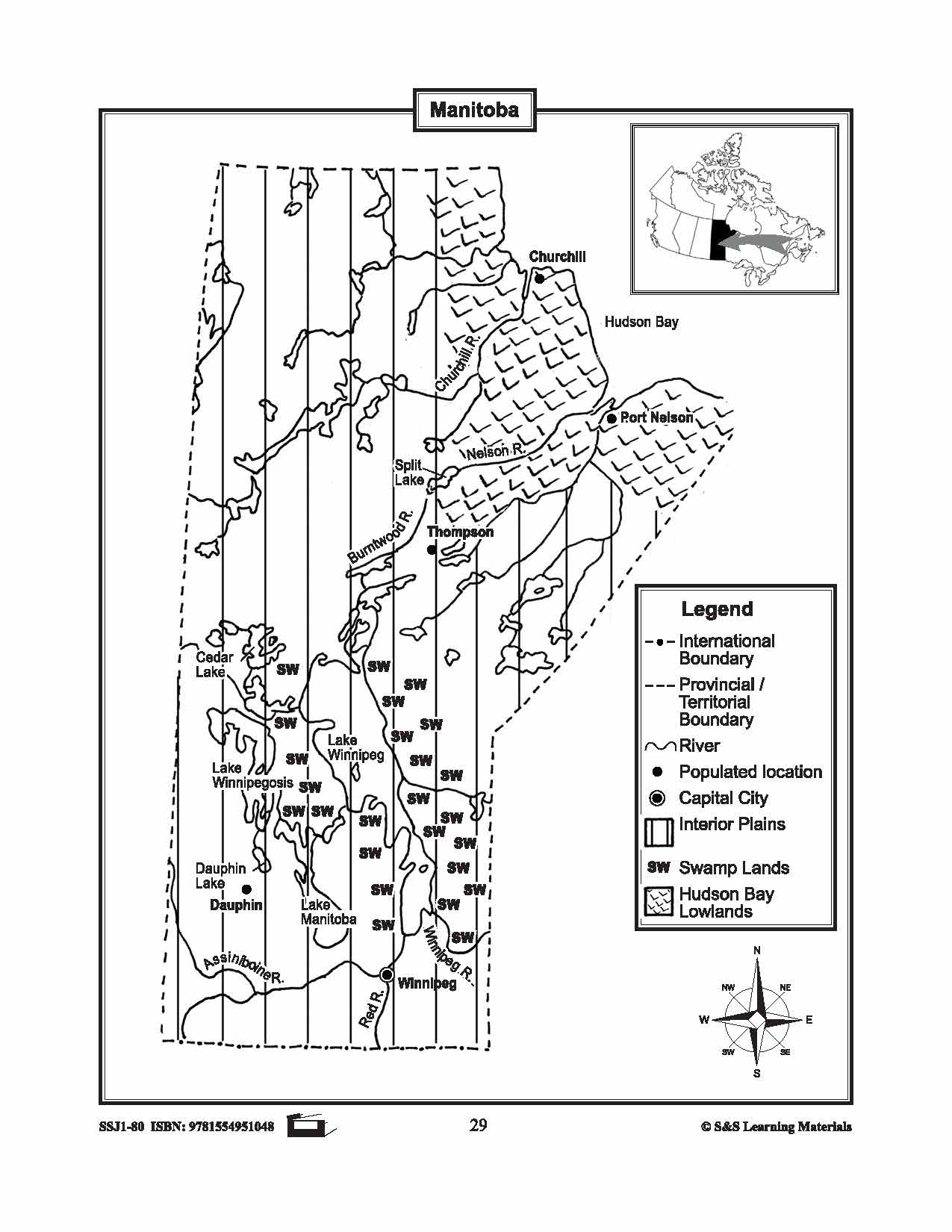


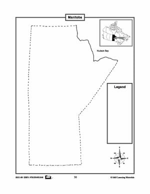
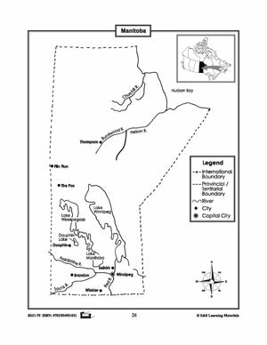
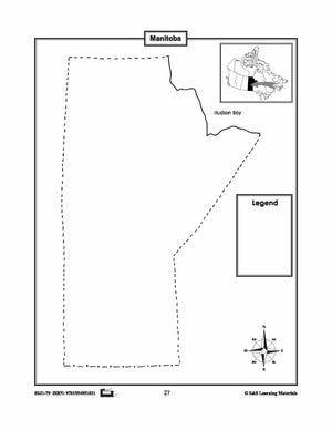
Maps of Manitoba Grades 4-8
$3.45 CAD
The maps will help students learn about Manitoba and its international and provincial/territorial boundary, rivers, landforms, the capital city, and other cities. 2 pages


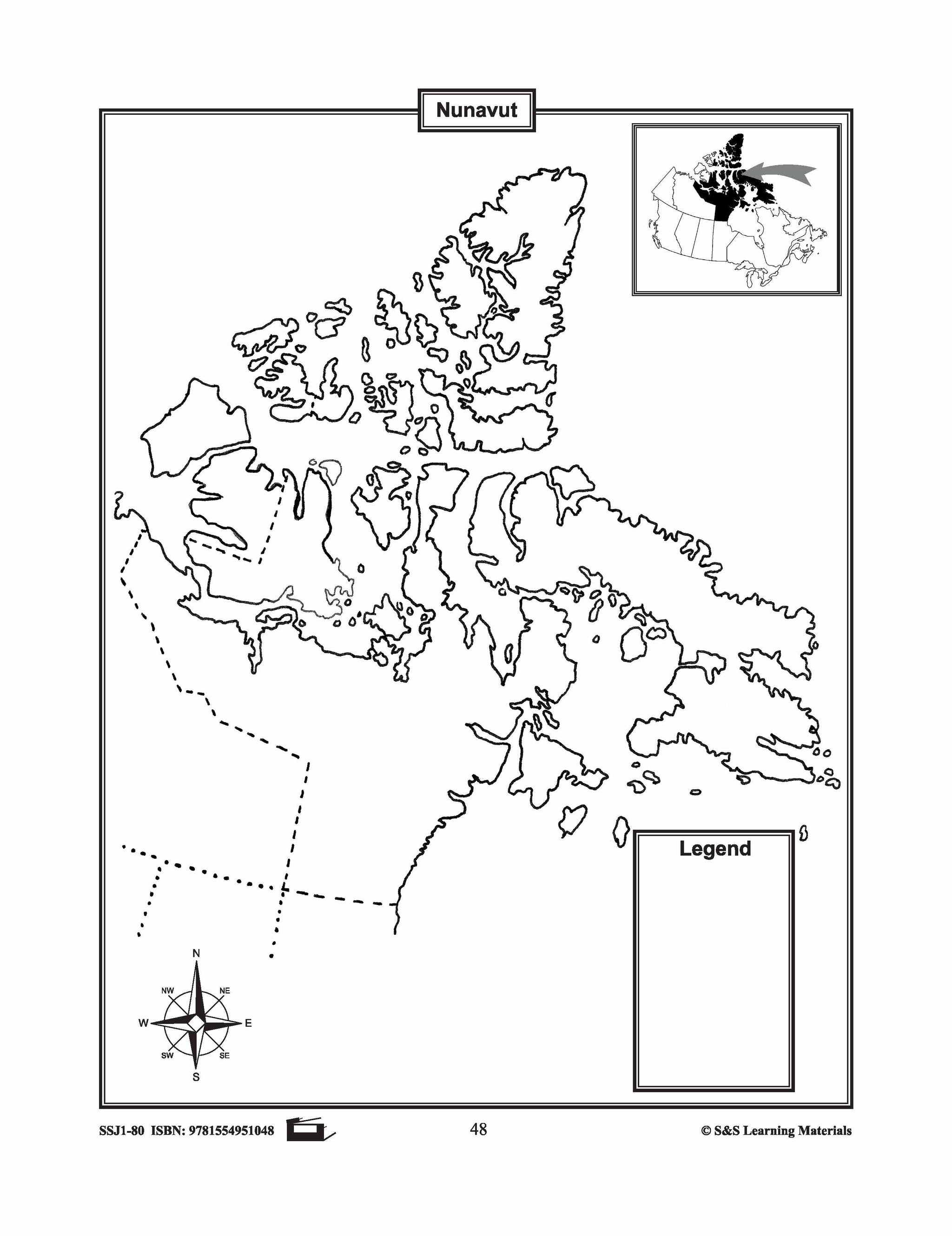

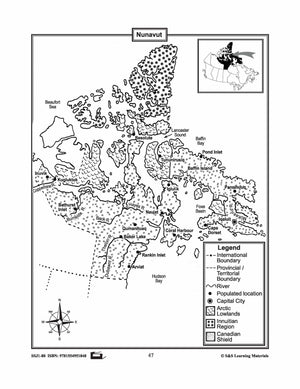

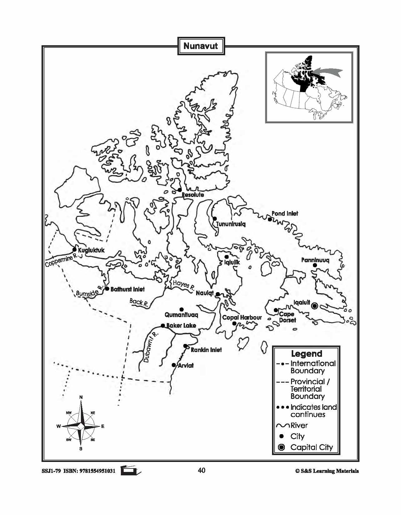
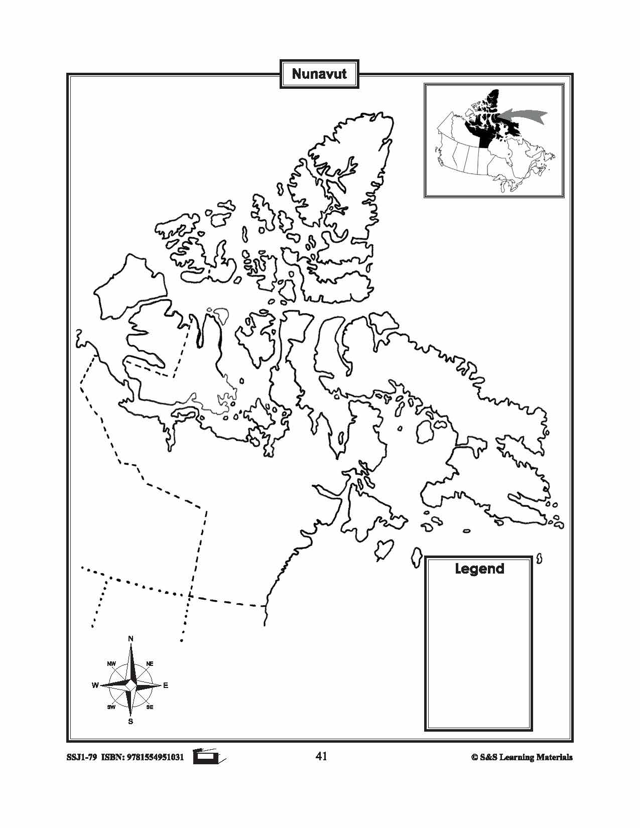
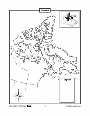
Maps of Nunavut Grades 4-8
$3.45 CAD
The maps will help students learn about Nunavut and its provincial/territorial boundary, rivers, landforms, the capital city, and other cities. 2 pages

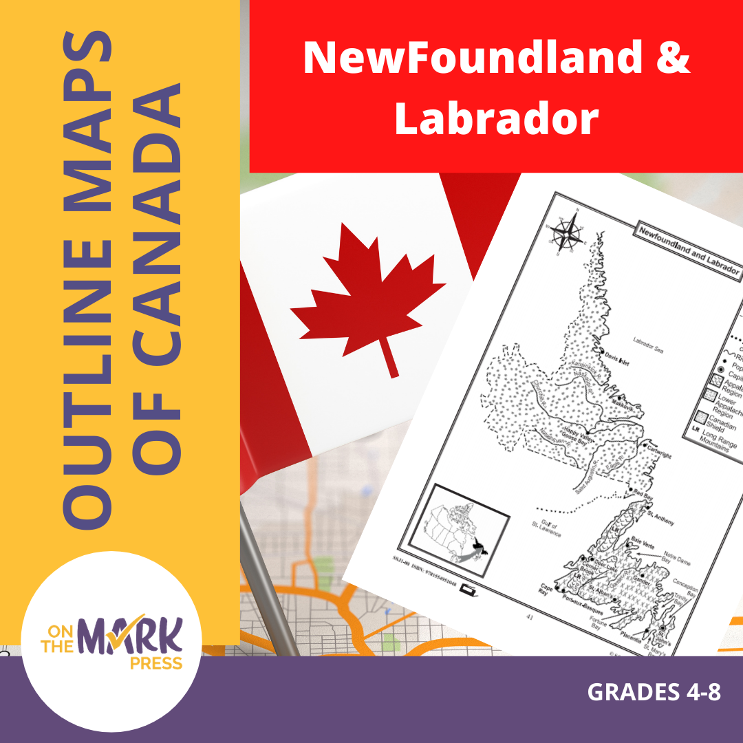


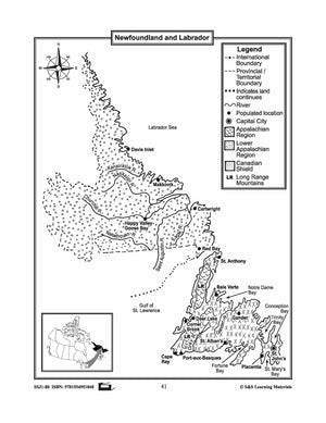
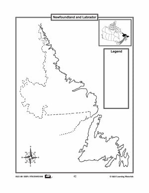
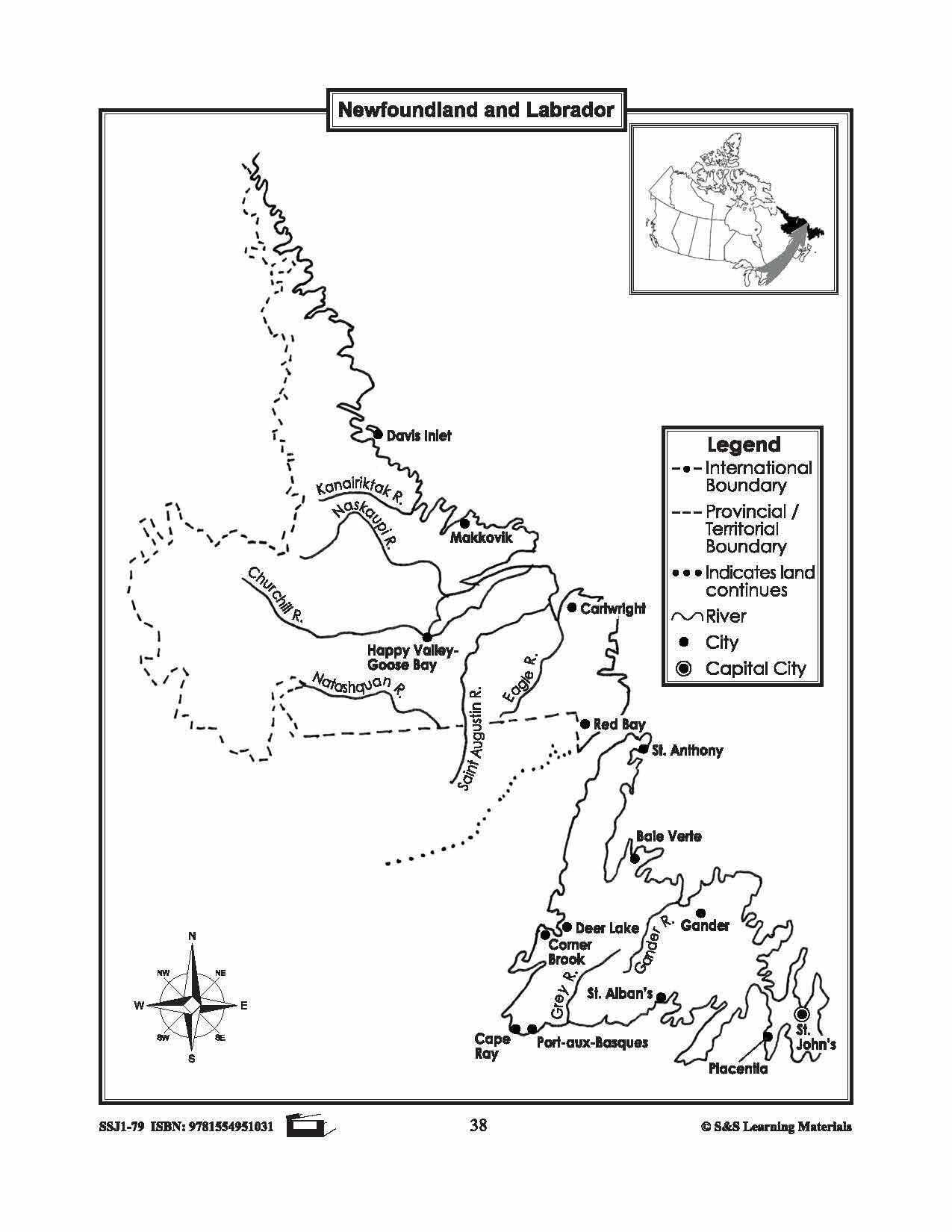
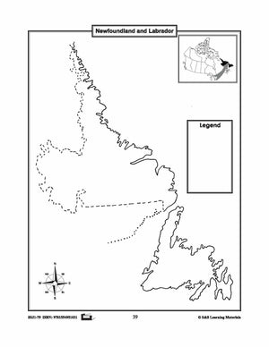
Maps of Newfoundland & Labrador Grades 4-8
$3.45 CAD
The maps will help students learn about Newfoundland and Labrador and provincial/territorial boundary, rivers, landforms, the capital city, and other cities. 2 pages


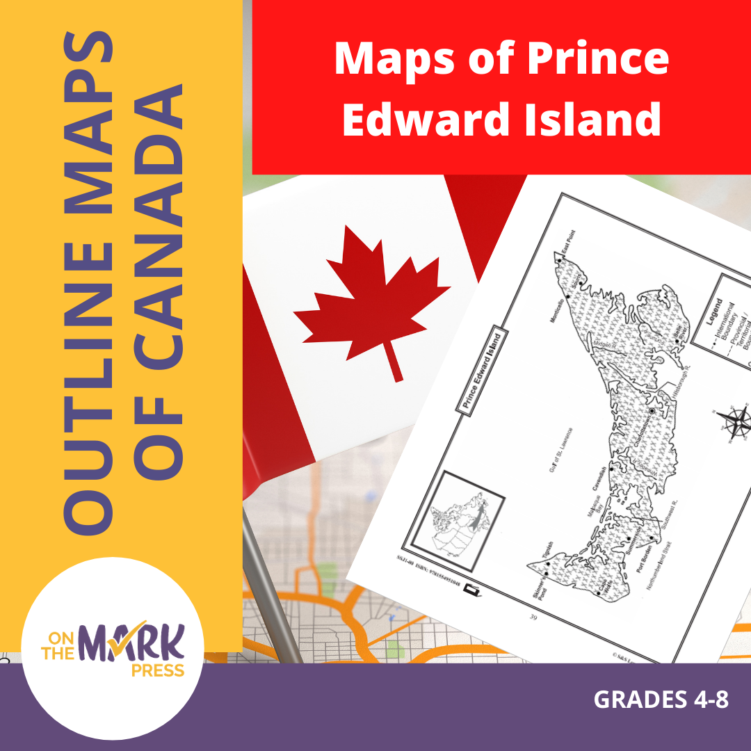
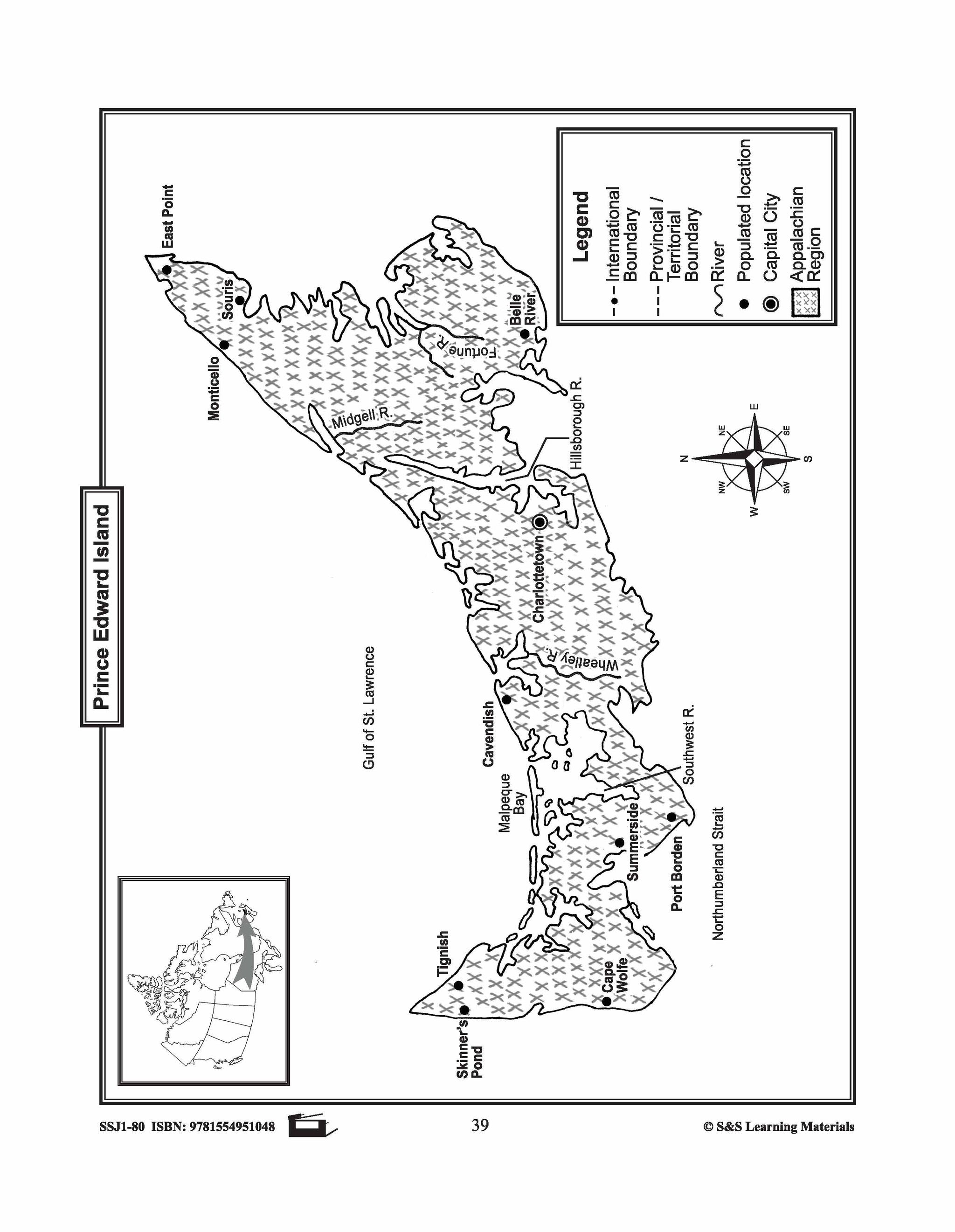
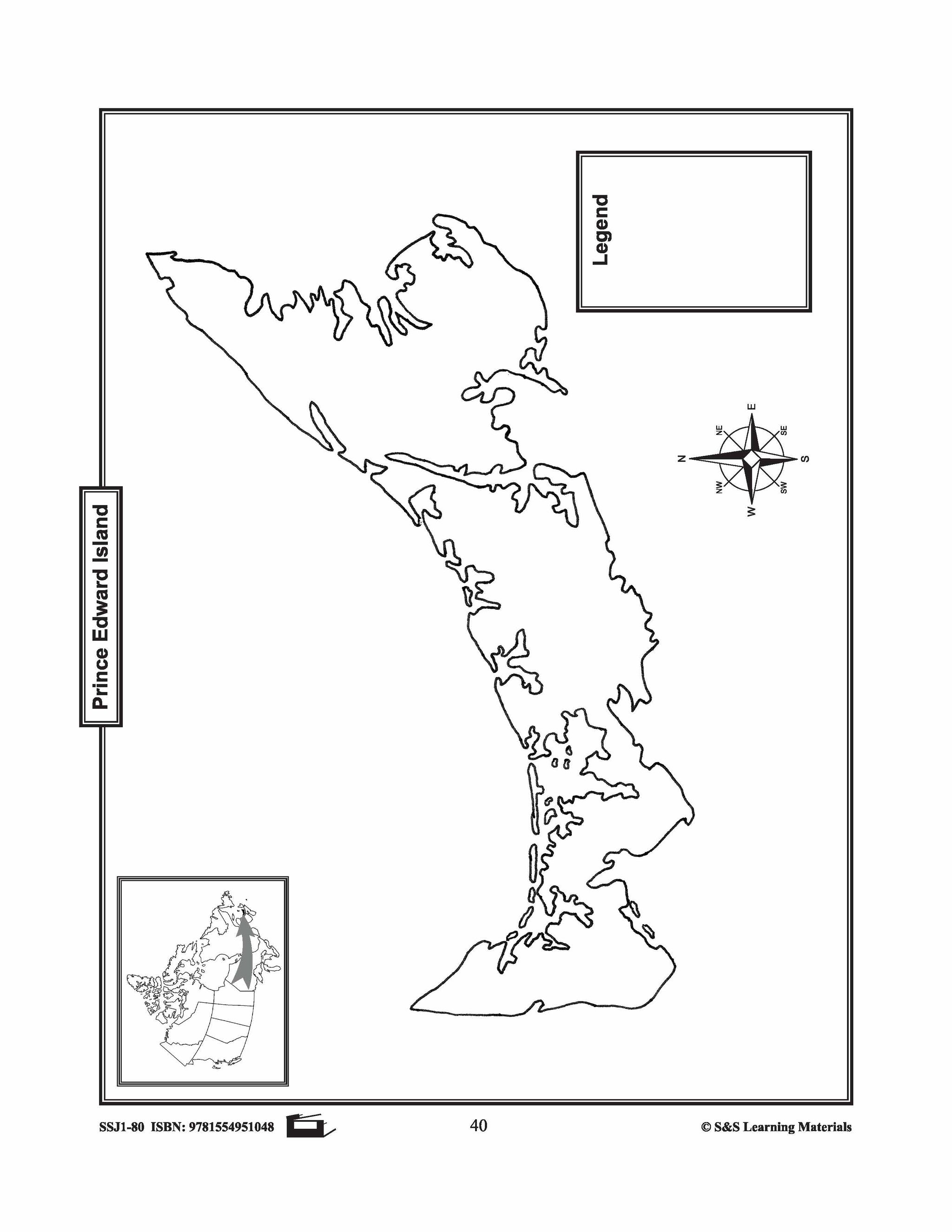
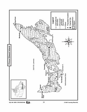
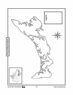
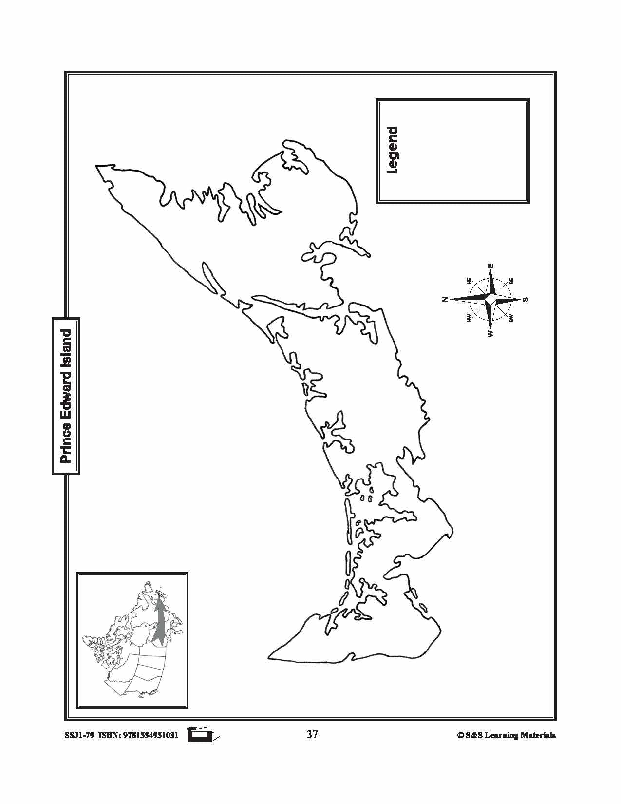
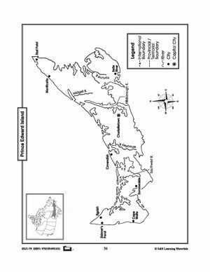
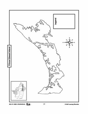
Maps of Prince Edward Island Grades 4-8
$3.45 CAD
The maps will help students learn about Prince Edward Island and its rivers, landforms, the capital city, and other cities. 2 pages


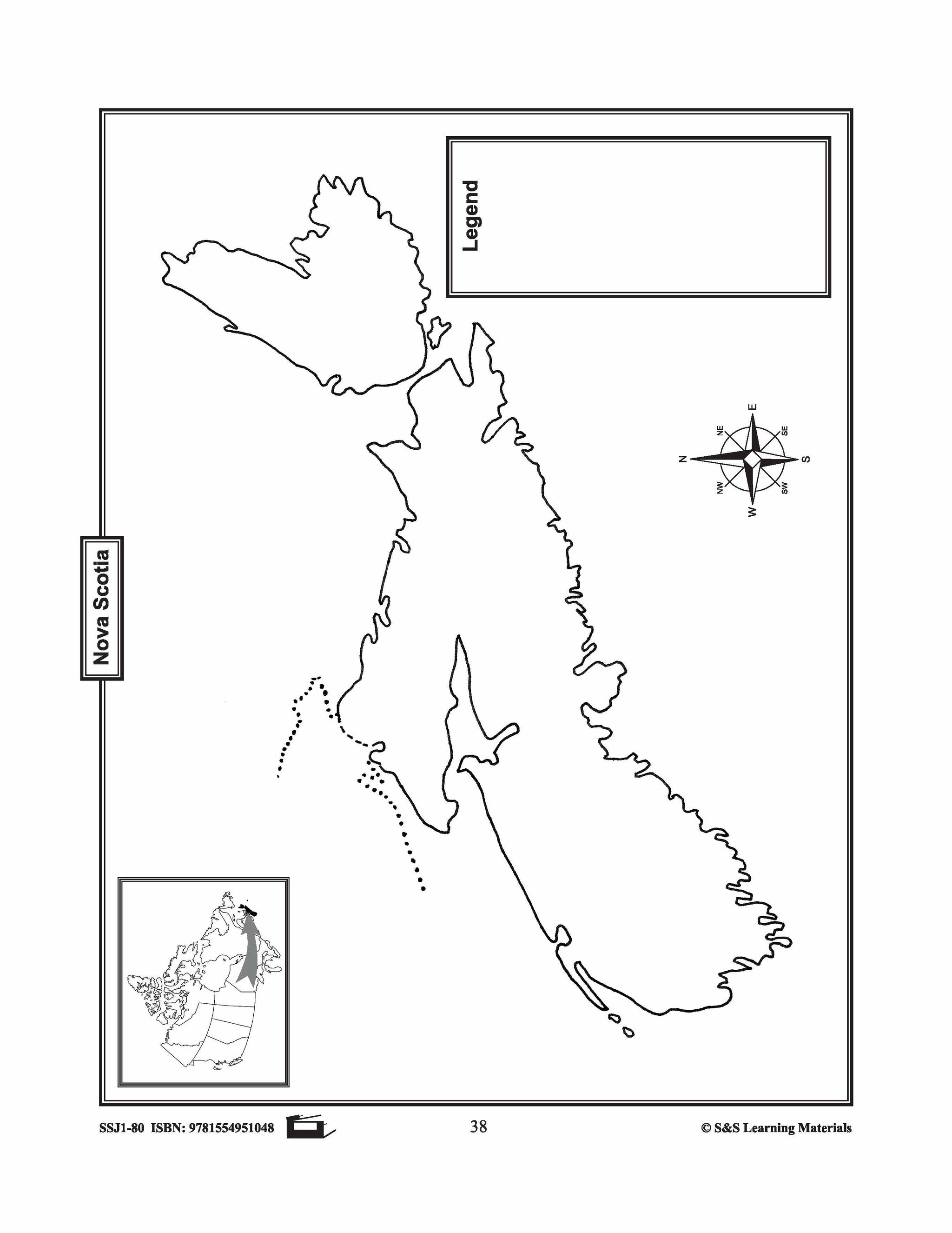
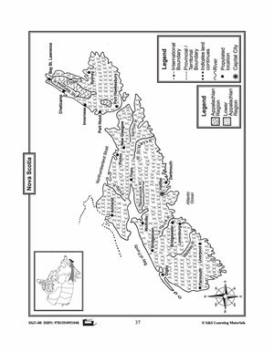
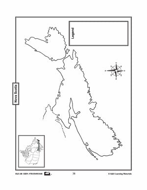
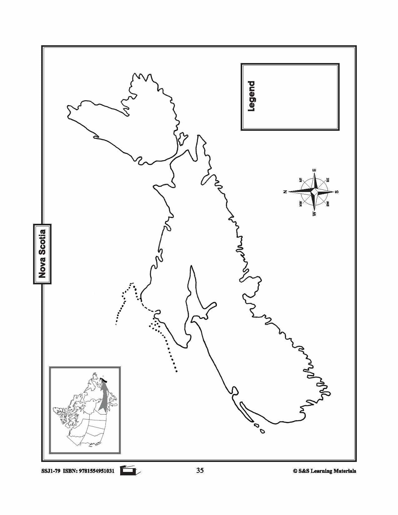
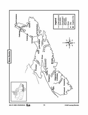
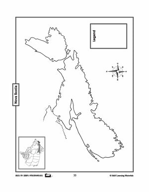
Maps of Nova Scotia Grades 4-8
$3.45 CAD
The maps will help students learn about Nova Scotia and its international and provincial/territorial boundary, rivers, landforms, the capital city, and other cities. 2 pages


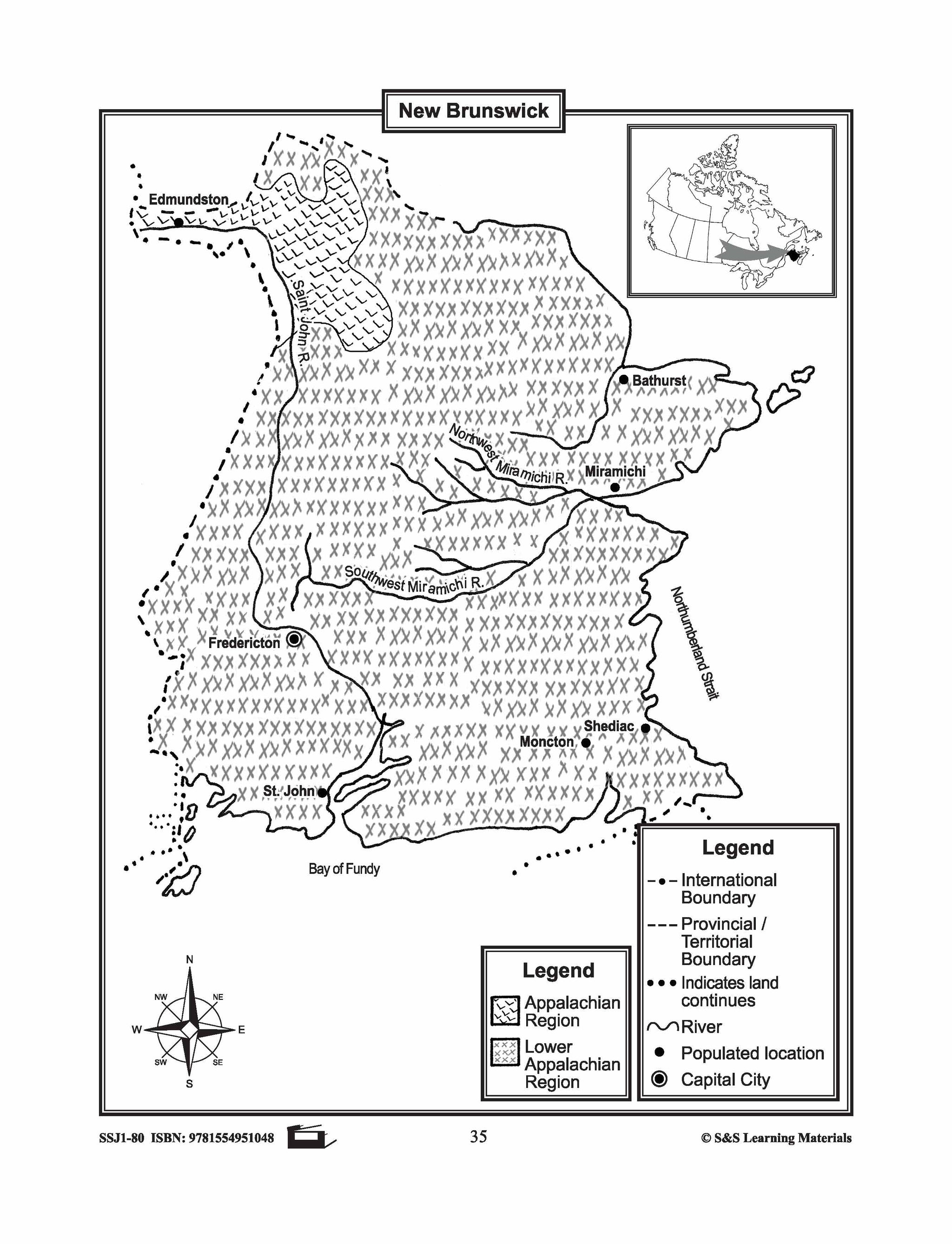

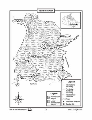
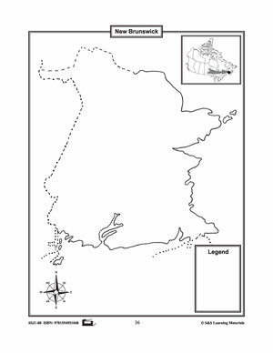
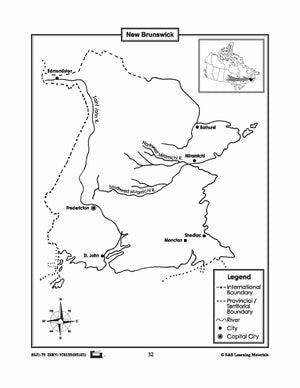
Maps of New Brunswick Grades 4-8
$3.45 CAD
The maps will help students learn about New Brunswick and its international and provincial/territorial boundary, rivers, landforms, the capital city, and other cities. 2 pages


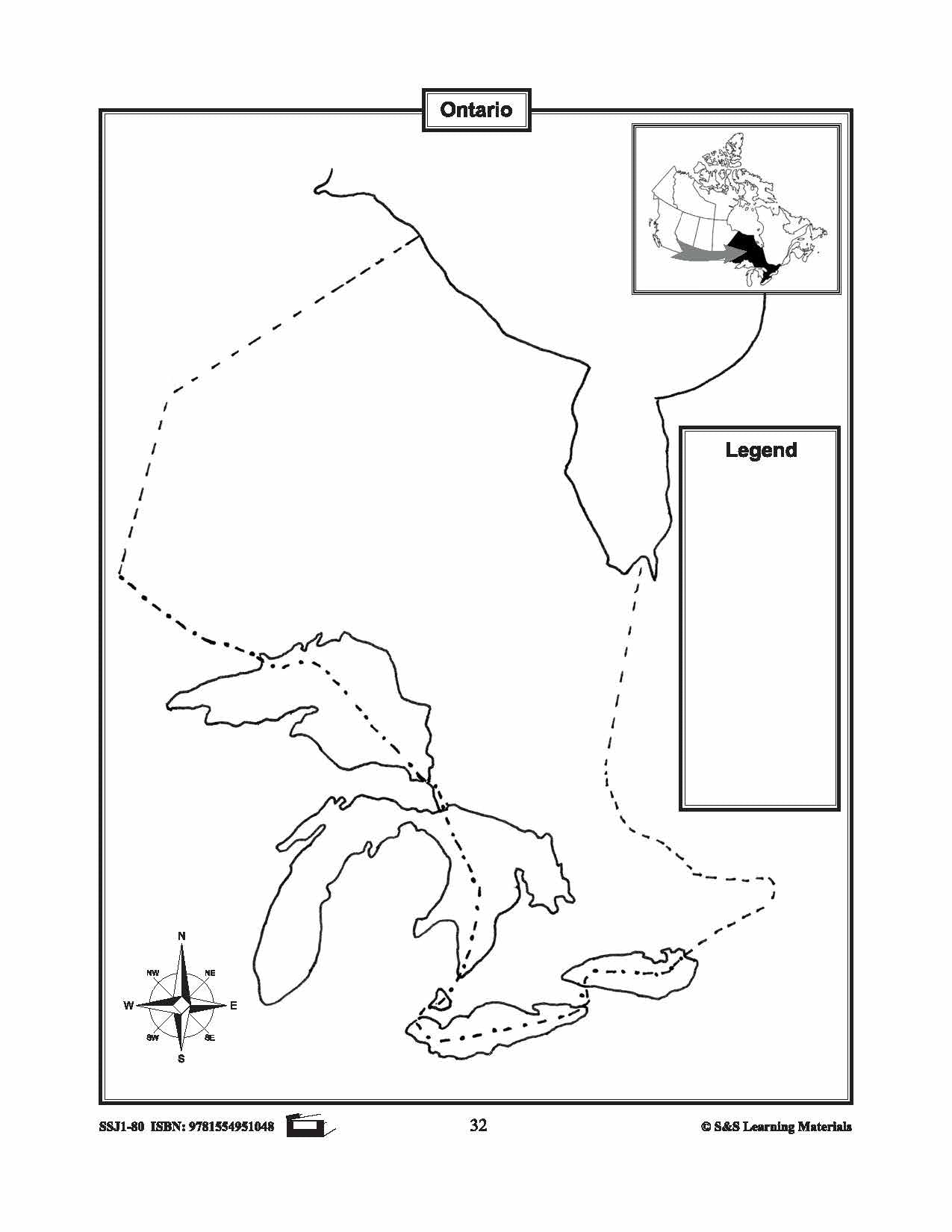

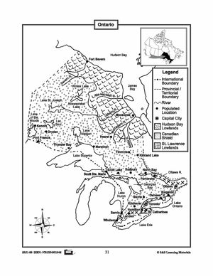
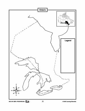
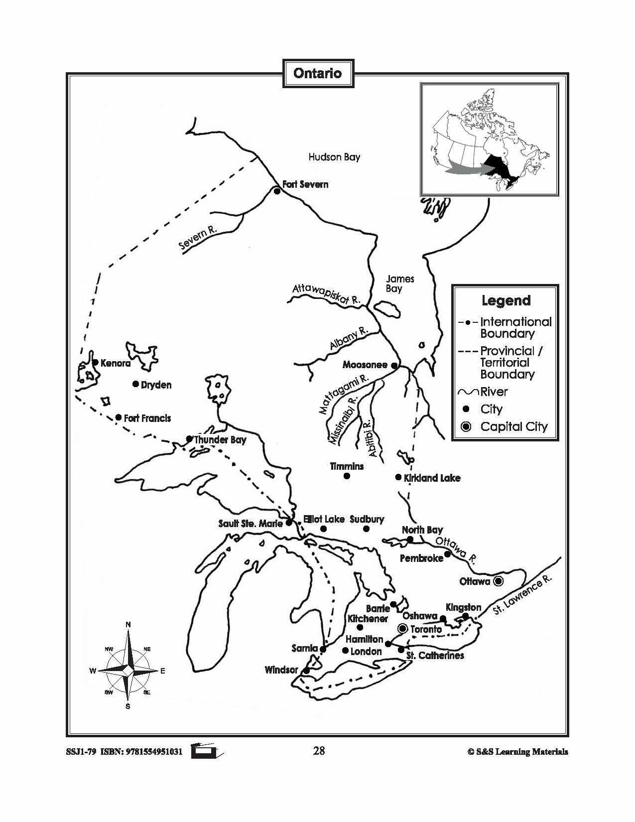
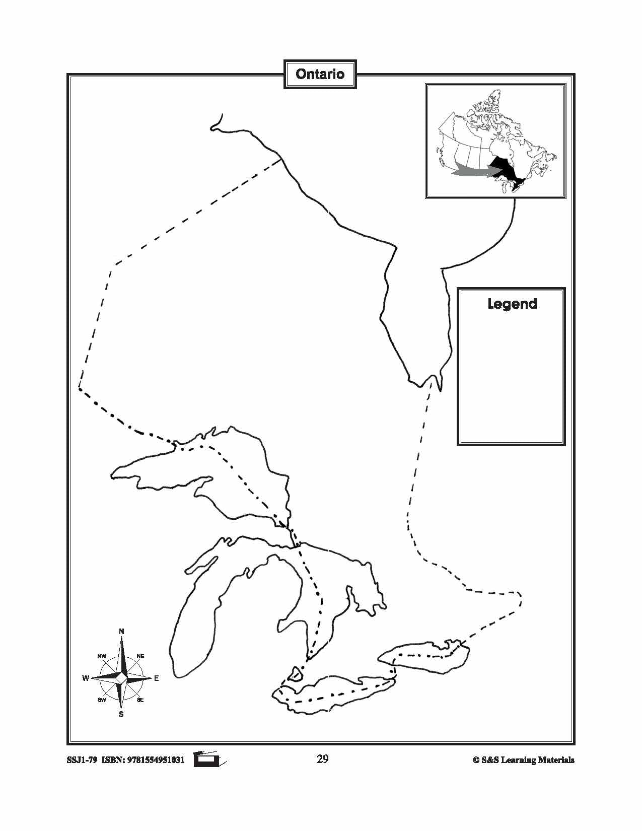
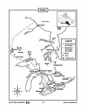
Maps of Ontario Grades 4-8
$3.45 CAD
The maps will help students learn about Ontario and its international and provincial/territorial boundary, rivers, landforms, the capital city, and other cities.


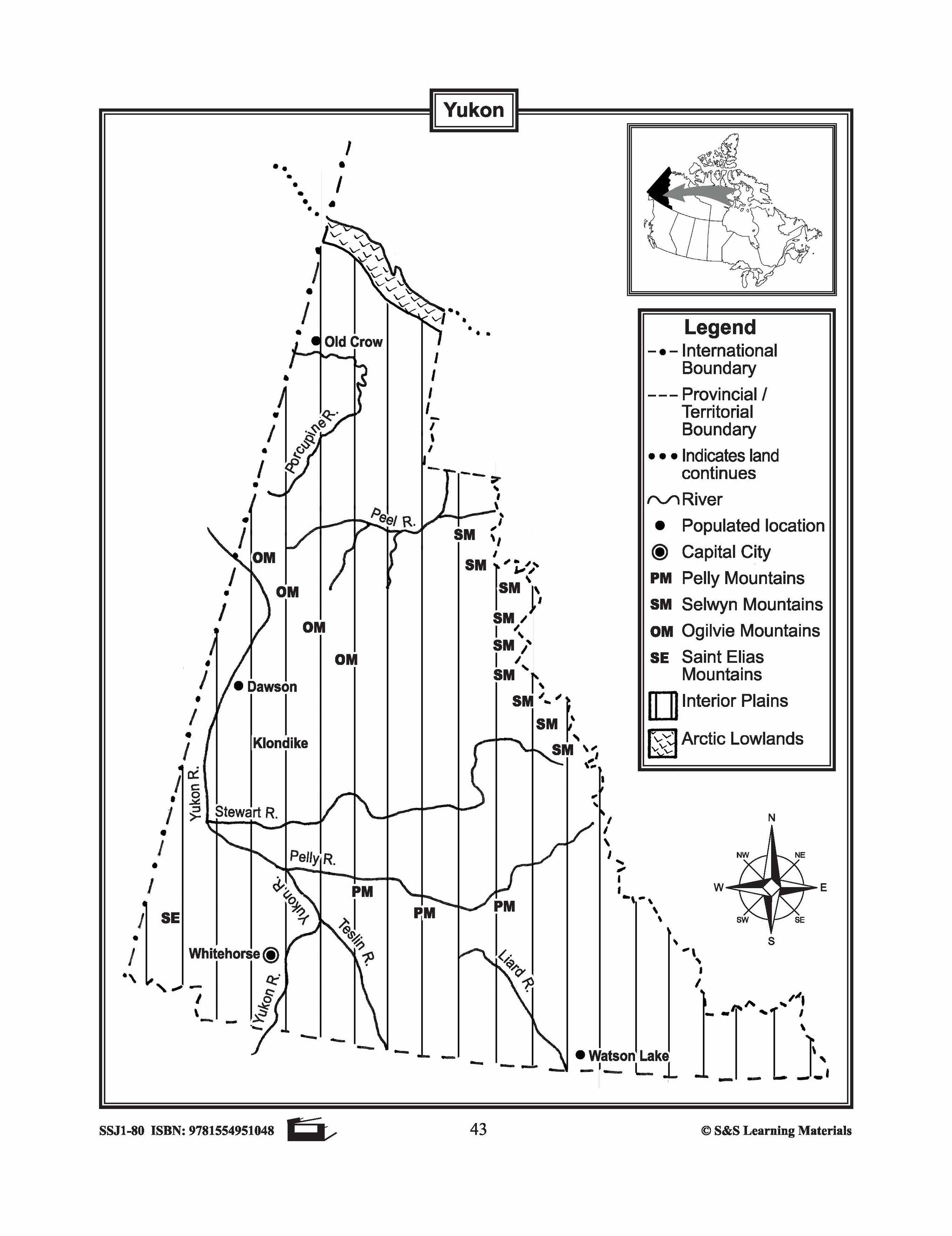
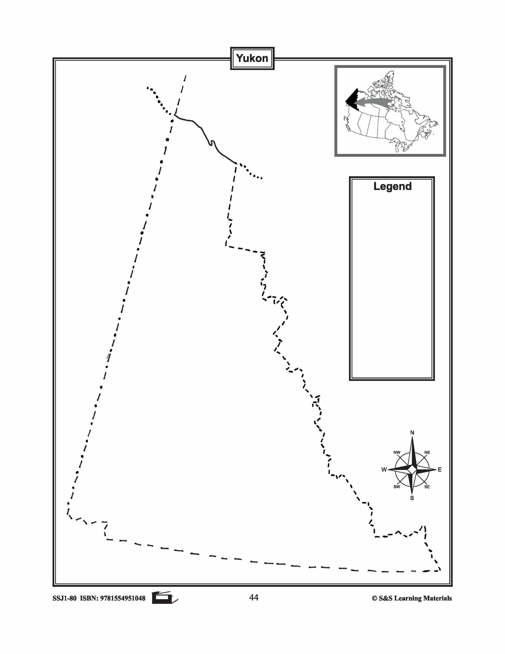
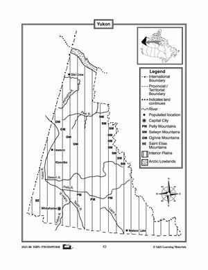
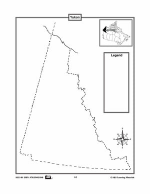
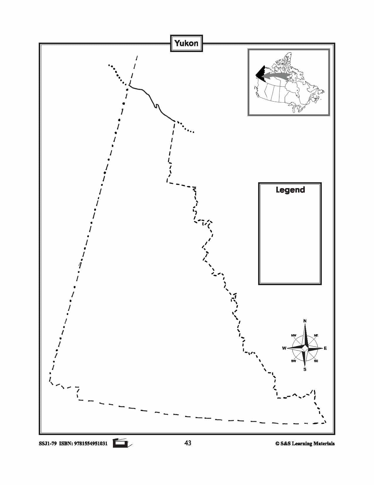
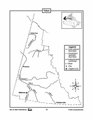
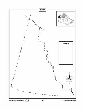
Maps of the Yukon Grades 4-8
$3.45 CAD
The maps will help students learn about the Yukon and its international and provincial/territorial boundary, rivers, landforms, the capital city, and other cities. 2 pages
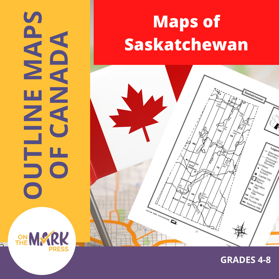


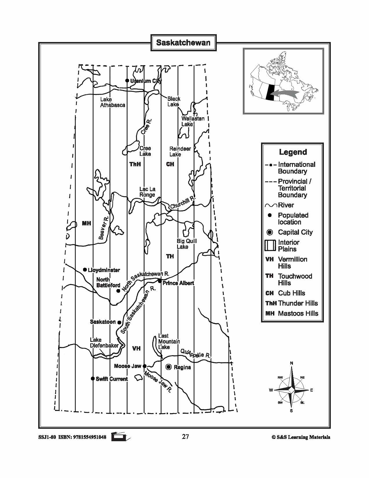


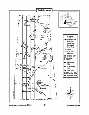
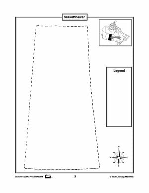
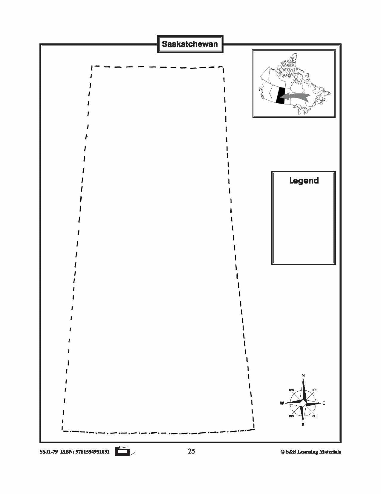
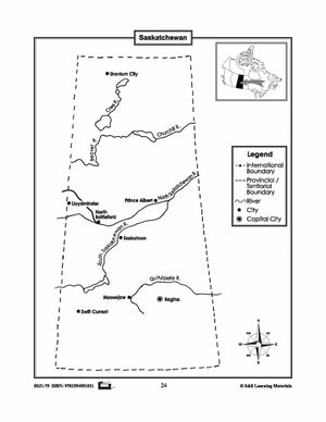
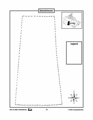
Maps of Saskatchewan Grades 4-8
$3.45 CAD
The maps will help students learn about Saskatchewan and its international and provincial/territorial boundary, rivers, landforms, the capital city, and other cities. 2 pages


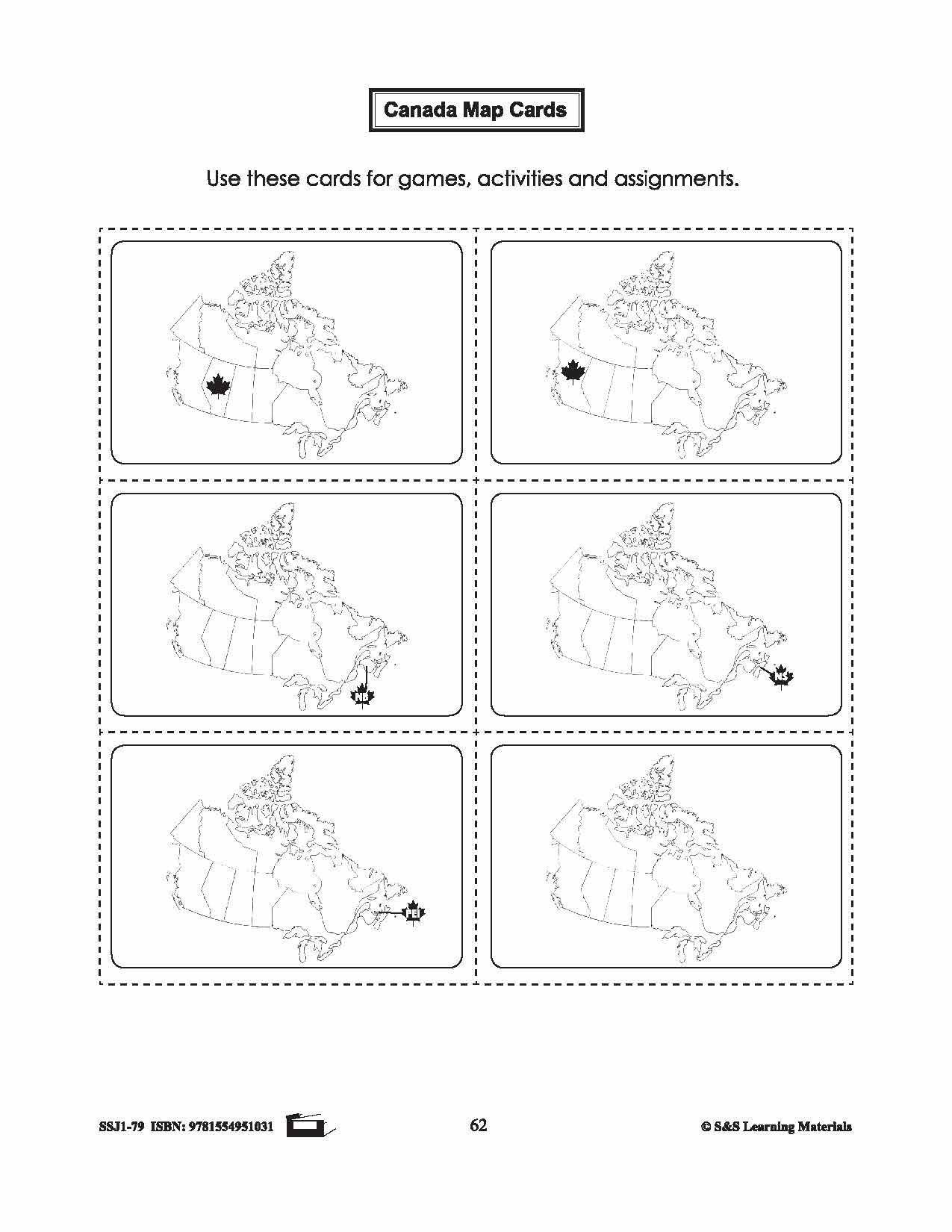

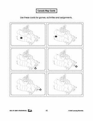
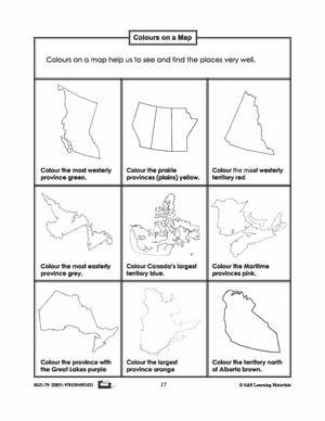
Canada Map Card Game Gr. 1-3
$2.45 CAD
This package includes a card representing all provinces and territories. The following games can be placed with the cards: 20 Question Game: Attach a map card to the clothing at the back of each student. Encourage students to use direction words...

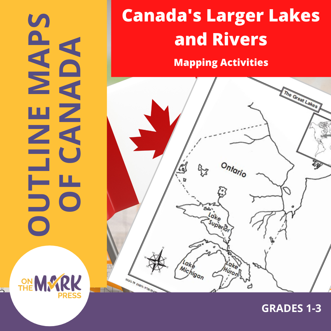

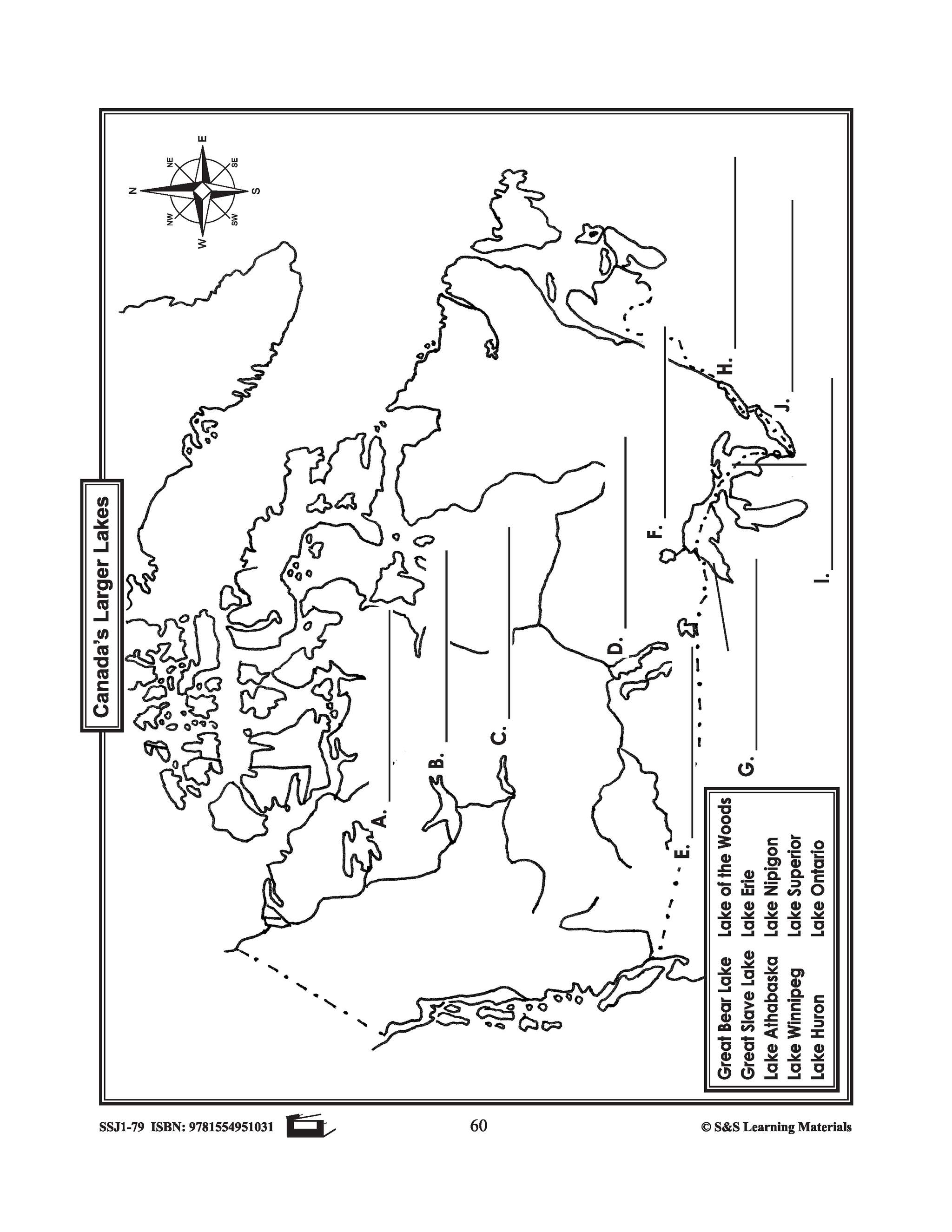
Canada's Larger Lakes & Rivers Mapping Activities Gr. 1-3
$4.95 CAD
This package includes one worksheet for the following: Labelling the Great Lakes Labelling Canada's Larger Lakes


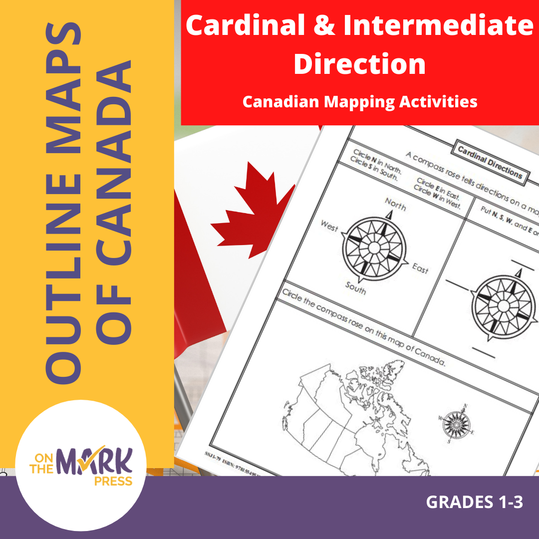

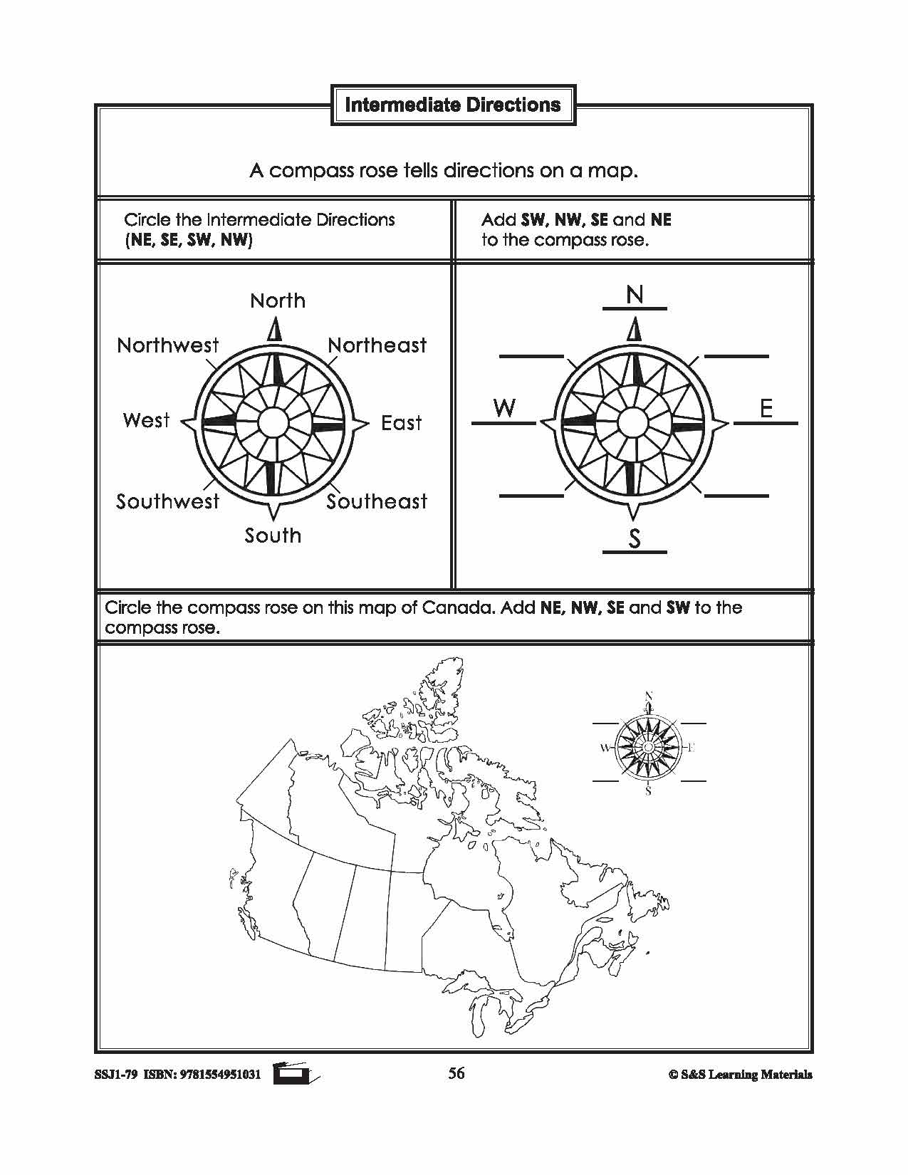

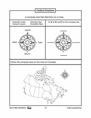

Cardinal and Intermediate Direction Canadian Mapping Activities Gr. 1-3
$2.95 CAD
This package includes one activity for both cardinal and intermediate direction mapping skills. Each worksheet has three exercises for students to practice identifying cardinal or intermediate direction. 2 pages
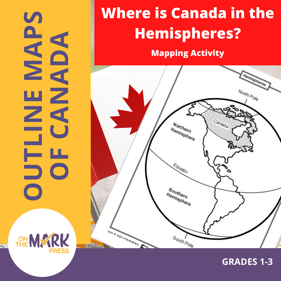


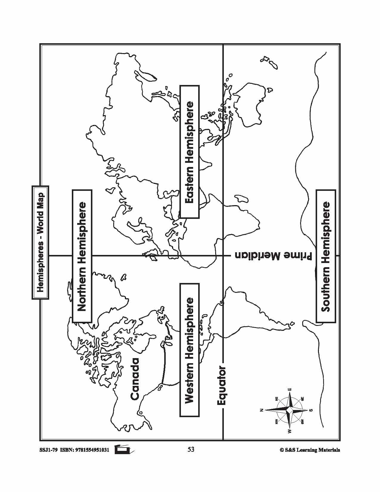


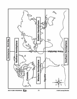
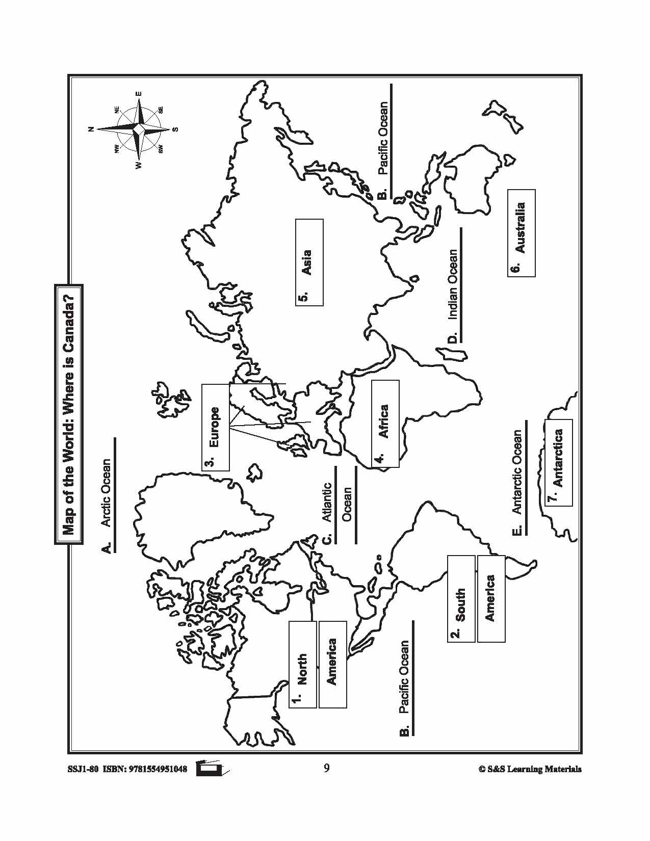
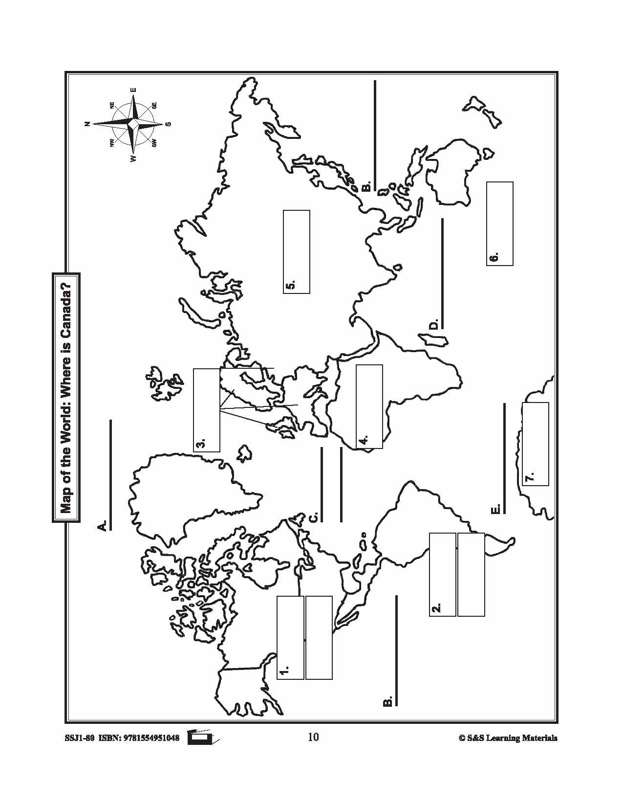
Where is Canada in the Hemispheres? Mapping Activity Gr. 1-3
$3.95 CAD
Two maps showing Canada in the hemisphere and one worksheet for students to complete.


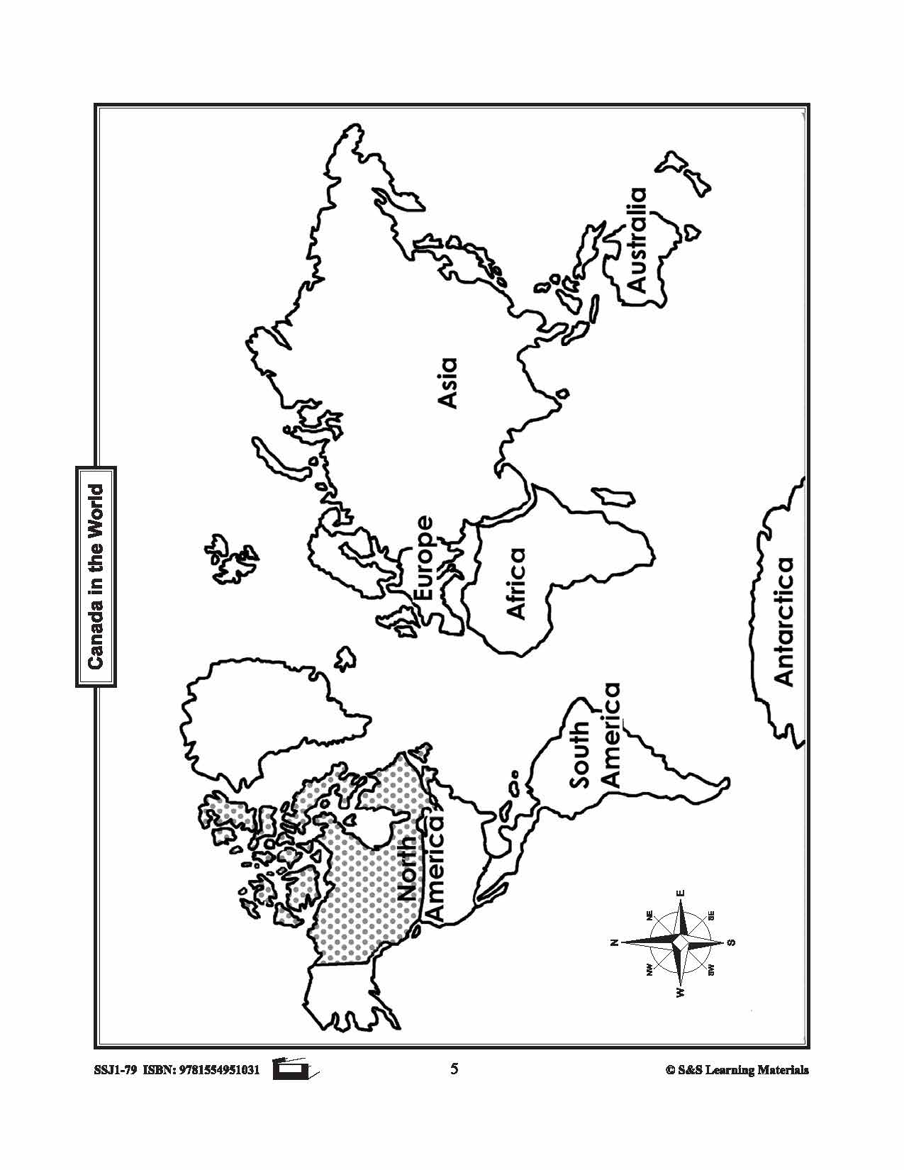
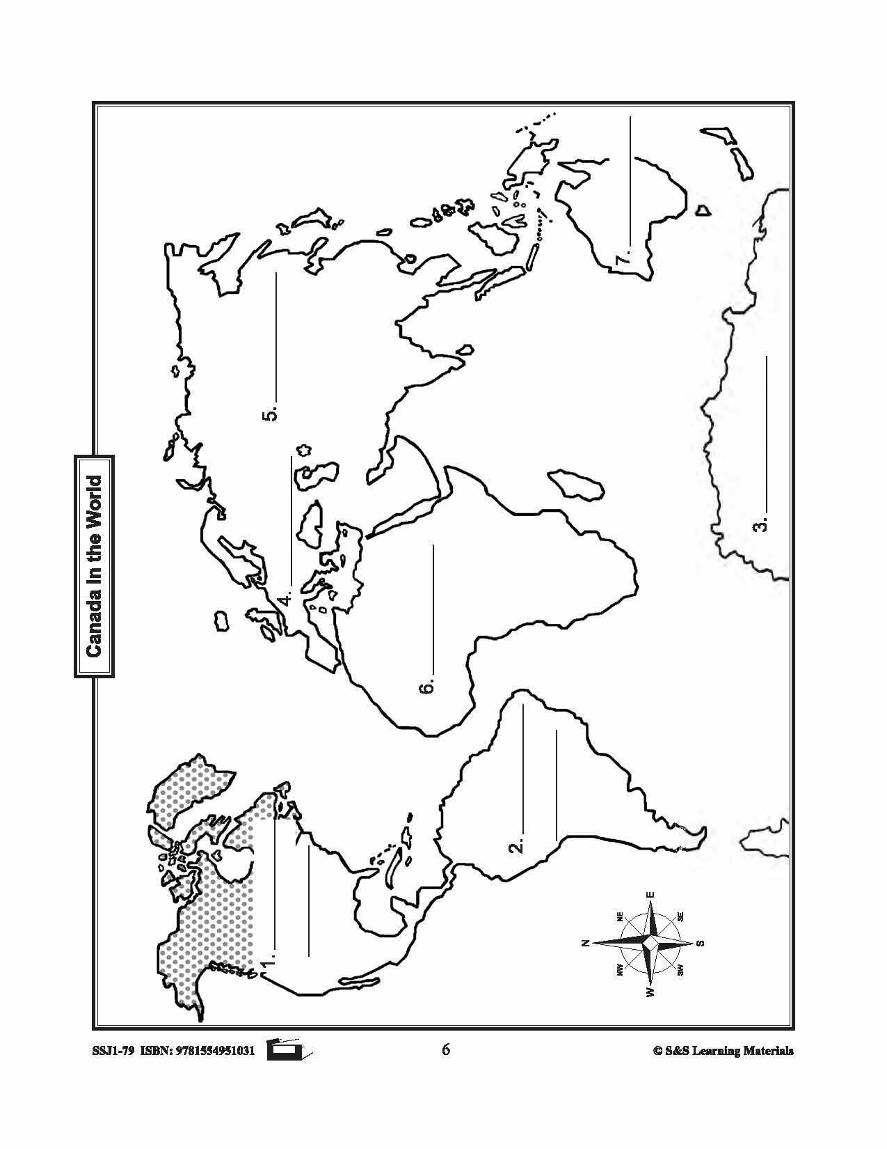
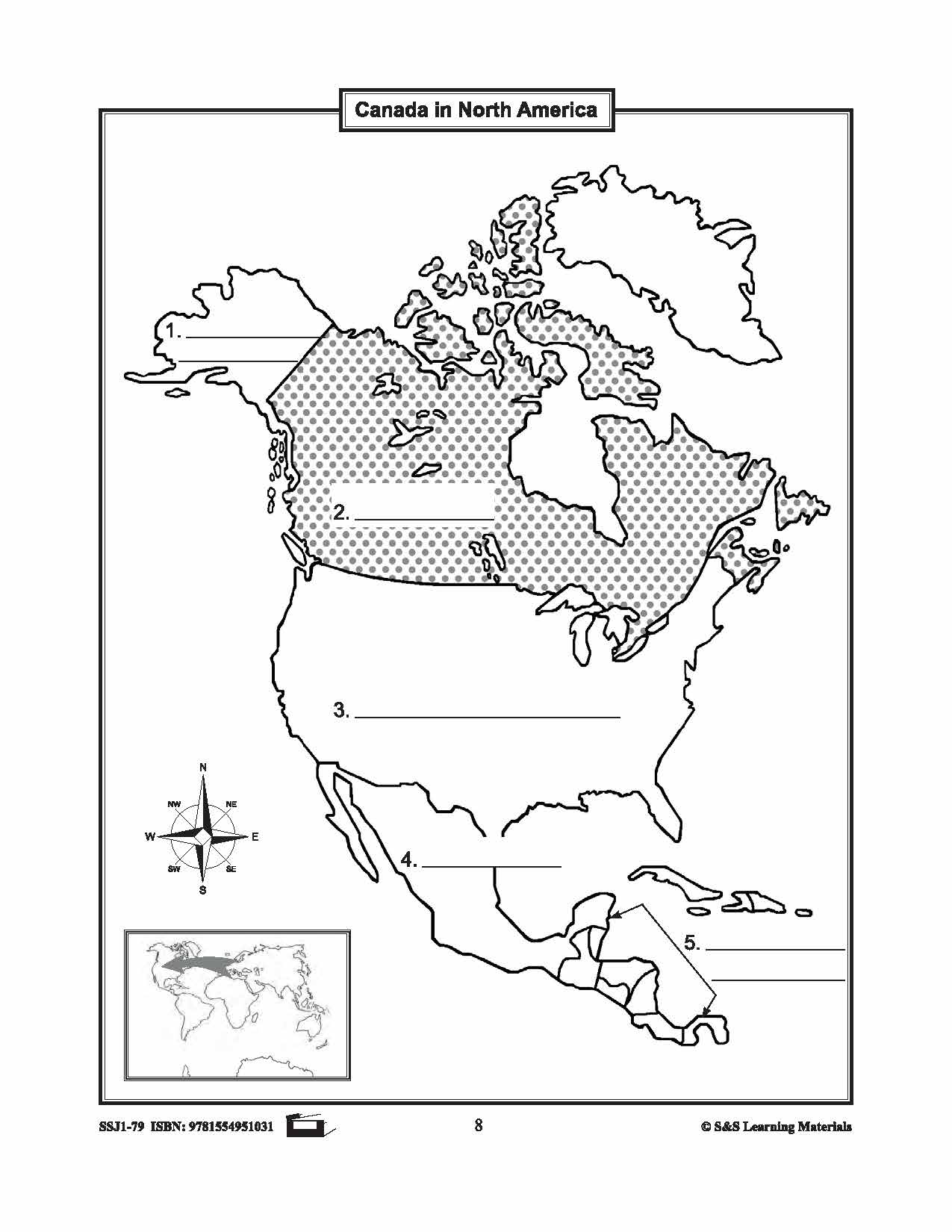
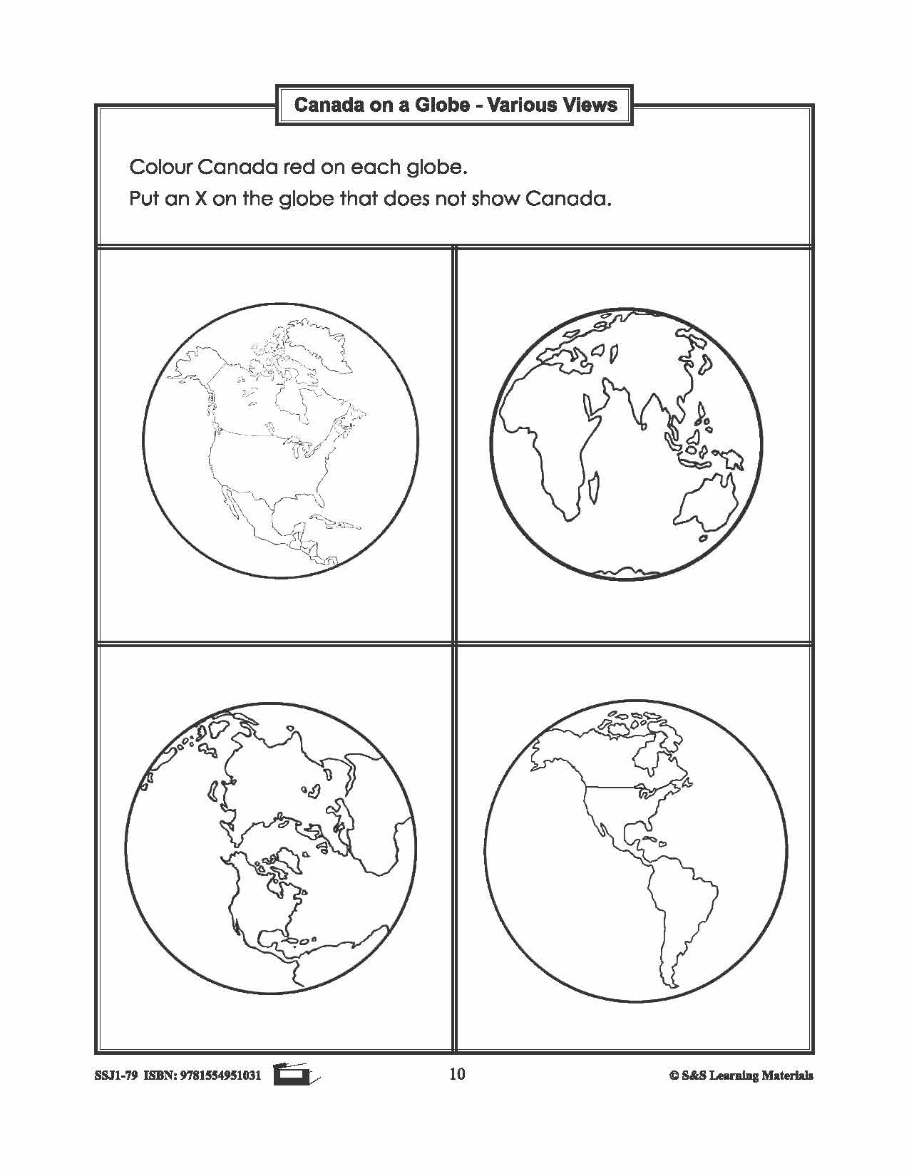

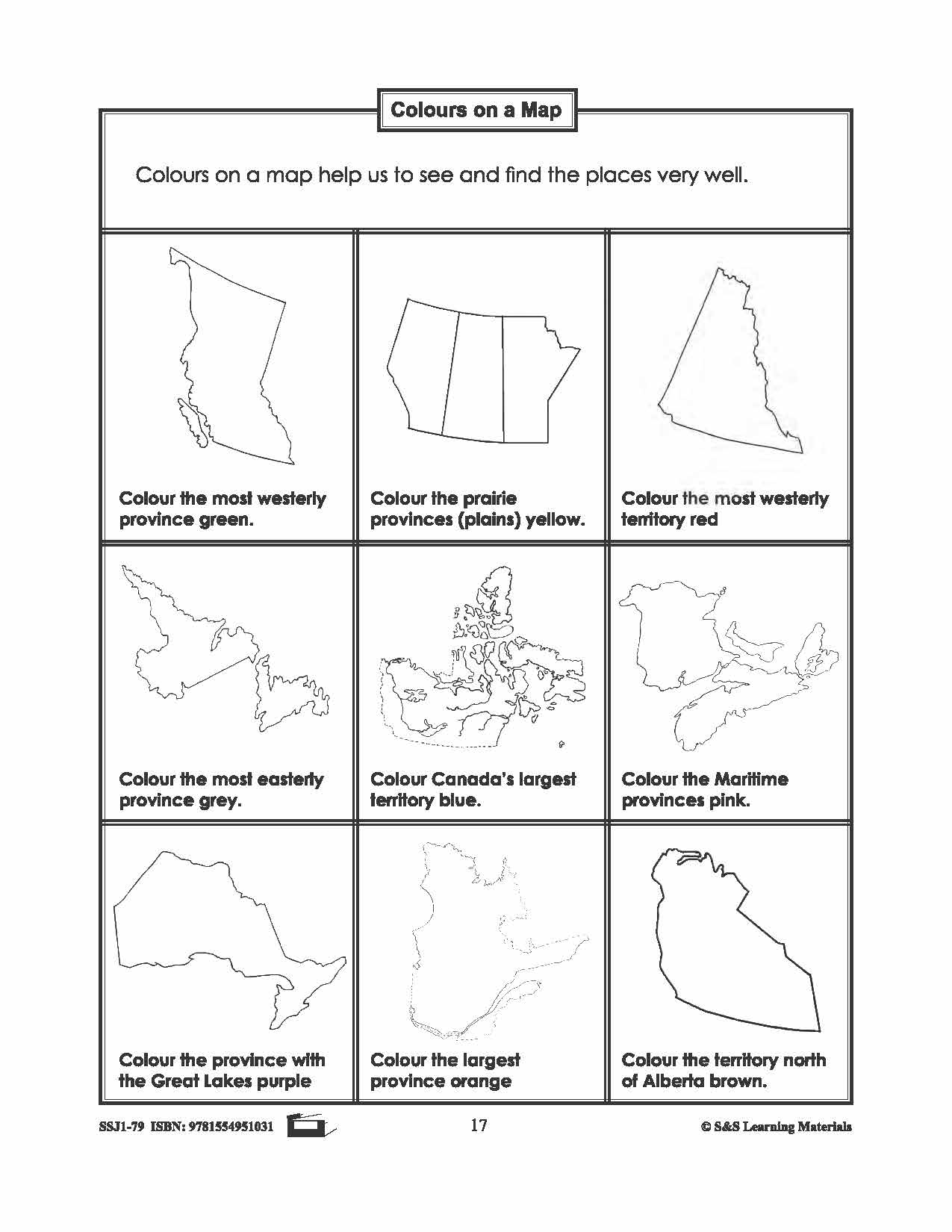


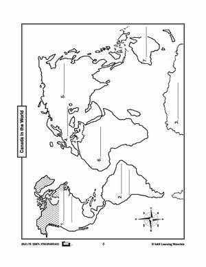
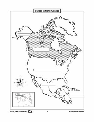


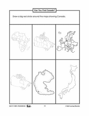


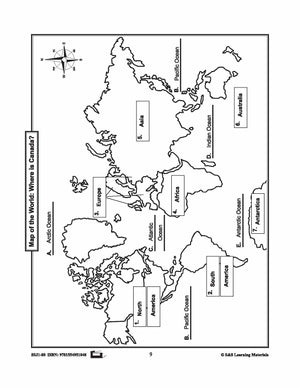
Canada in the World Mapping Activities Grades 1-3
$6.95 CAD
Students will gain an understanding of where Canada is in the World. Nine activities with maps help students: recognize the shape of Canada; locate Canada in North America and the world; find Canada on the globe in various views; view...