
Products


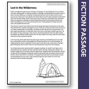


Lost in the Wilderness - A Social Studies Reading Comprehension Google Slides & Printables Gr. 3-4
$2.95 CAD
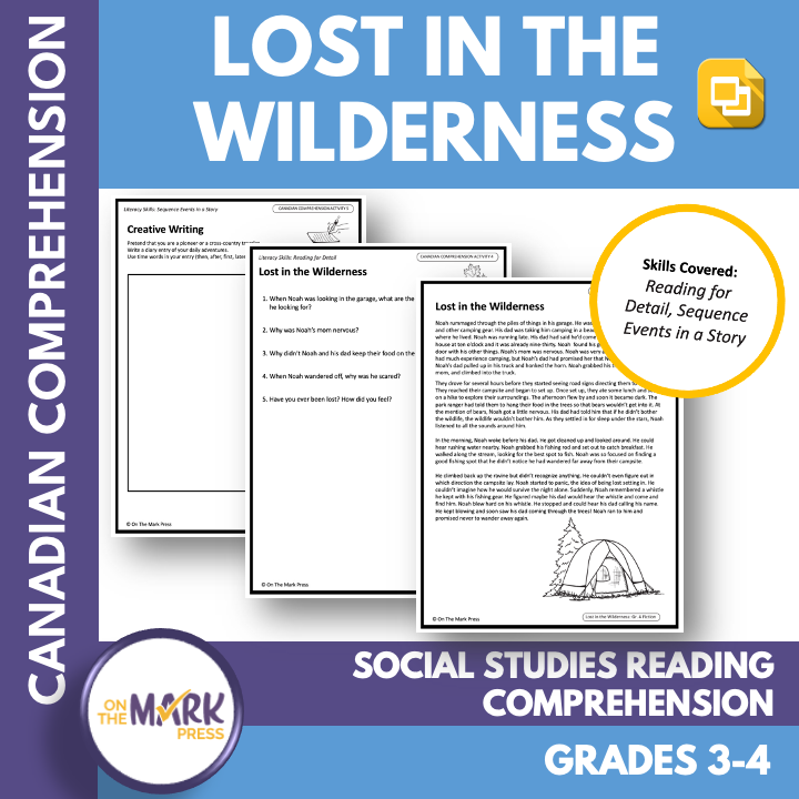
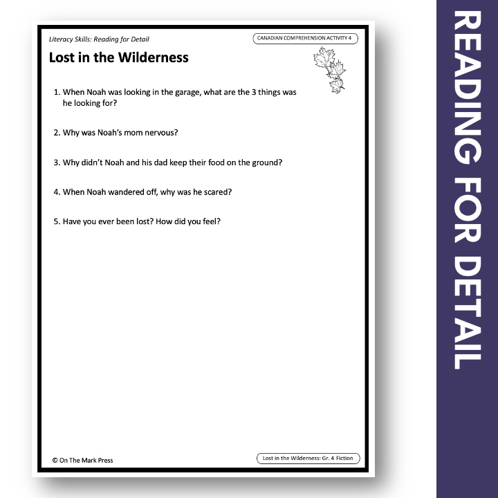
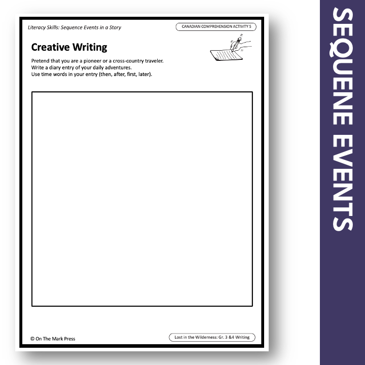
This fiction reading lesson is tailored to integrate language-based social studies content into their literacy time. Students will follow Noah and his Dad, on their camping adventure in the wilderness. Literacy Skill: Reading for Detail Creative Writing Literacy Skill: Sequencing...
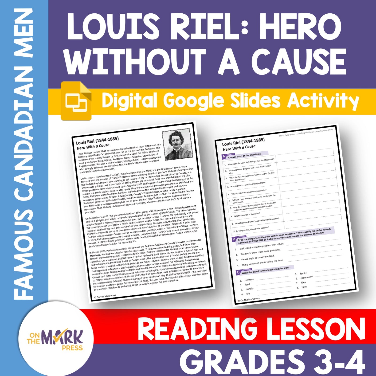
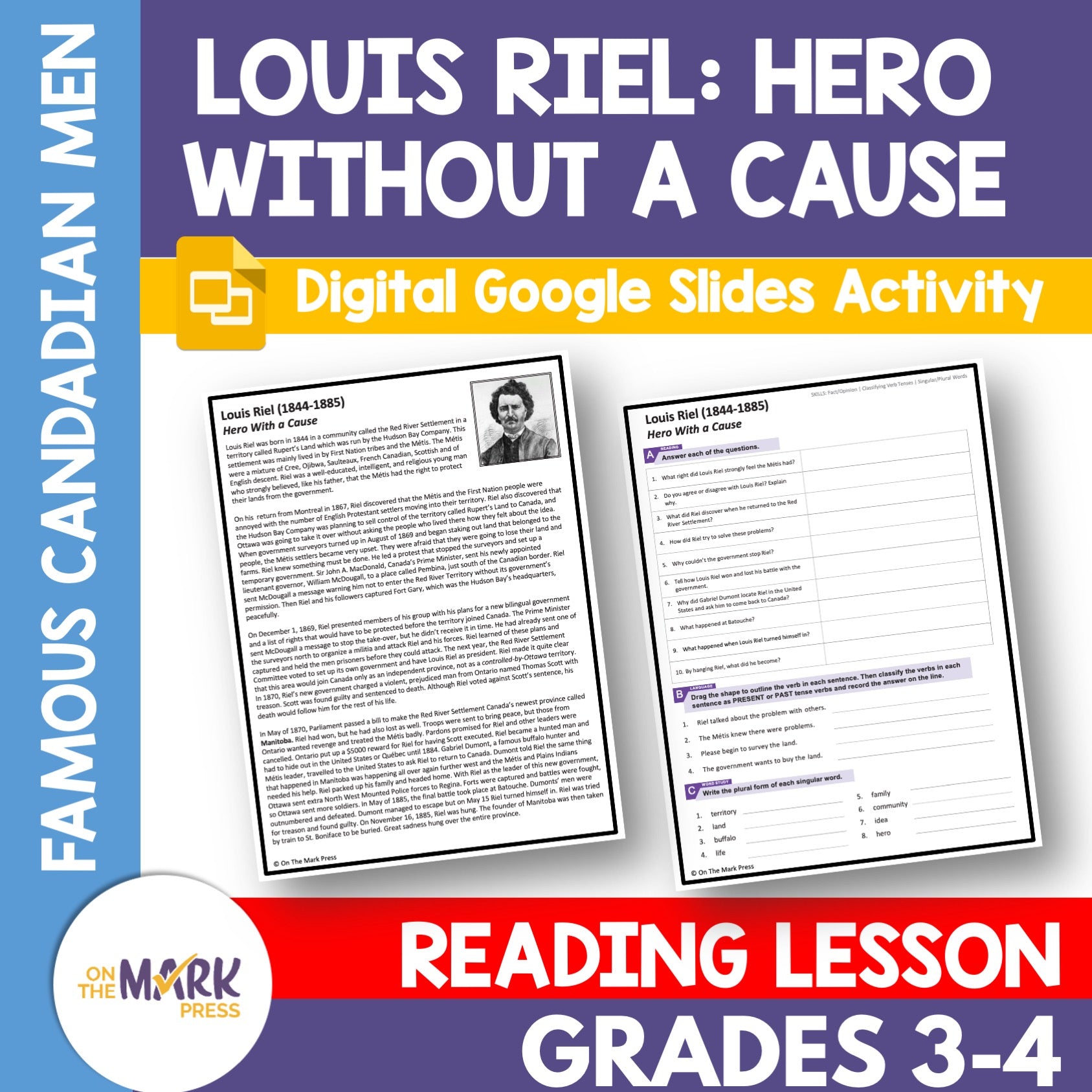

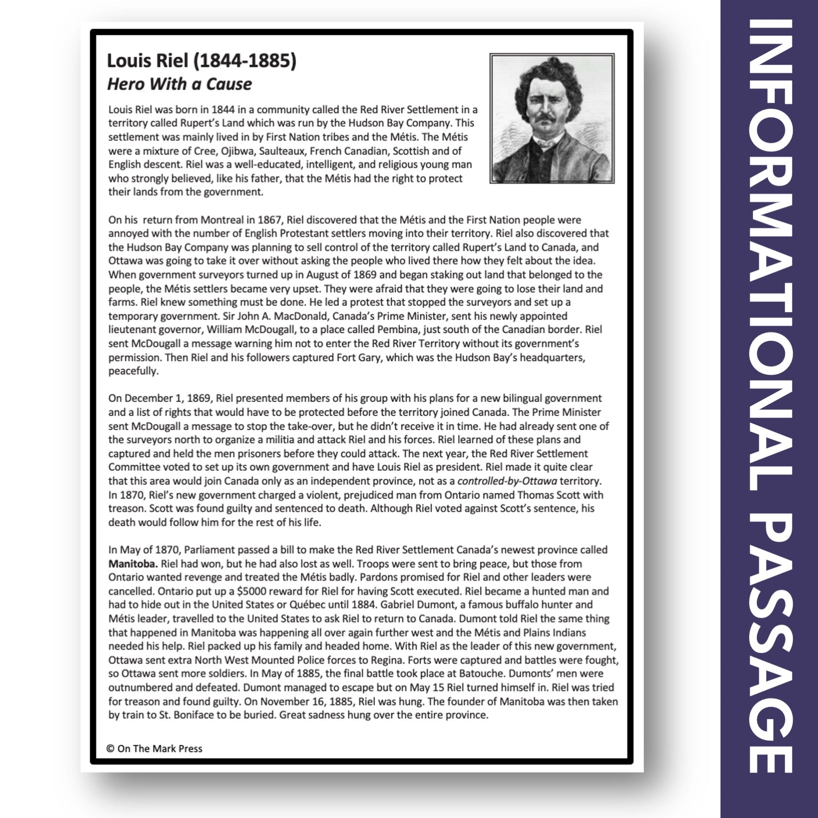
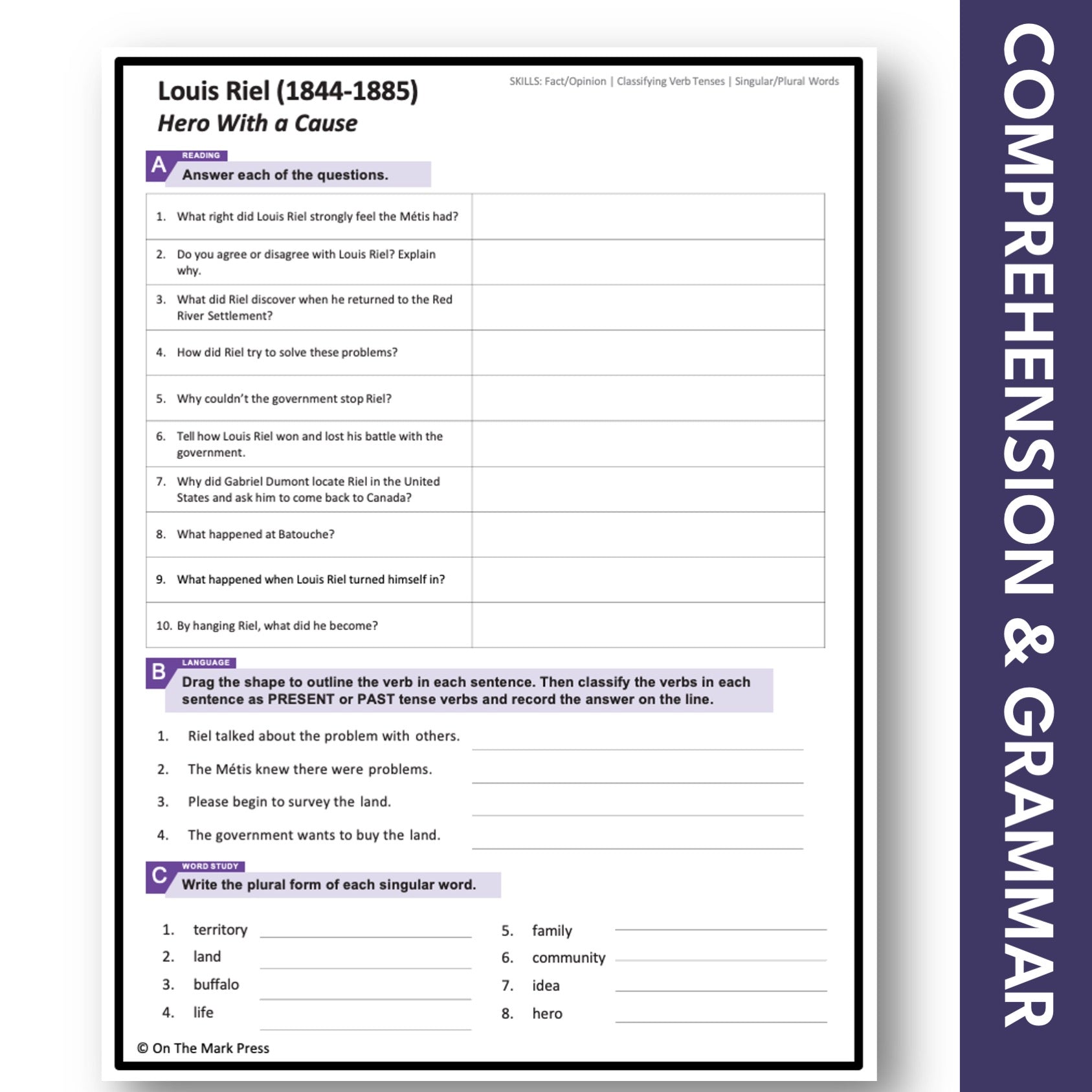
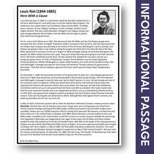
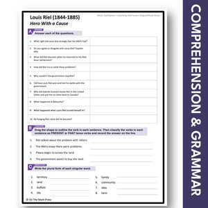
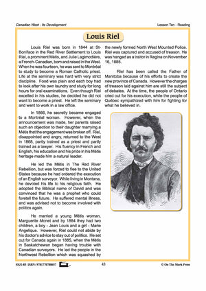
Louis Riel - Hero with a Cause Reading Lesson Gr 4-5 Google Slides & Printable PDF Distance Learning
$3.45 CAD
Students will read about Louis Riel (1844-1885) - Hero with a Cause. Each topic contains an information story and a follow-up exercise designed to review and develop strong reading and phonetic skills. The vocabulary list may need to be presented...

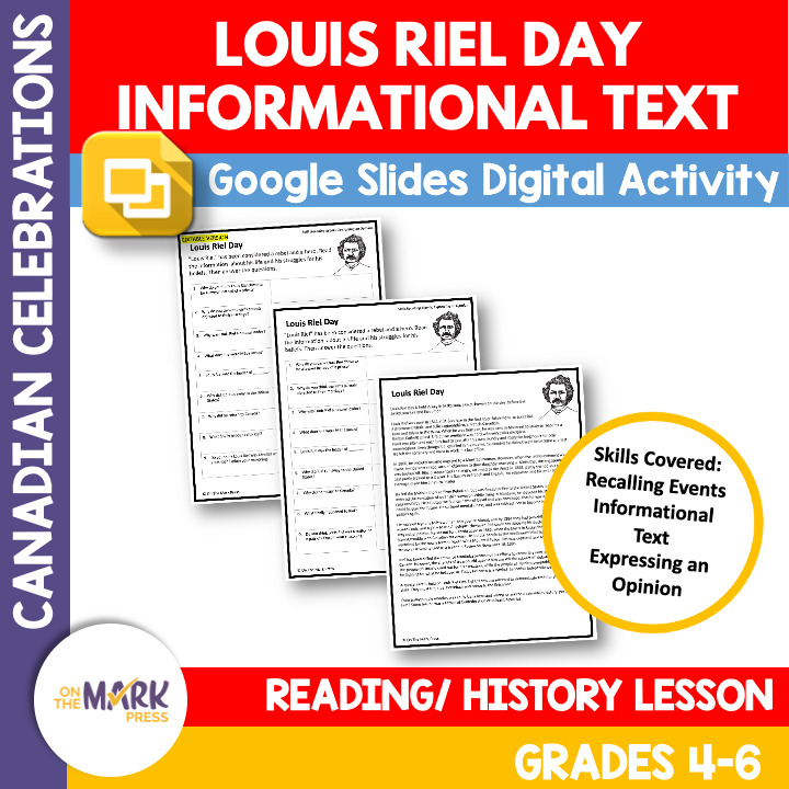

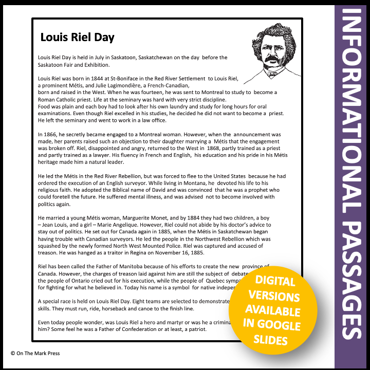
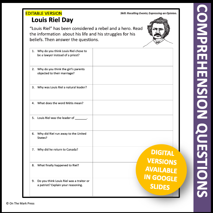
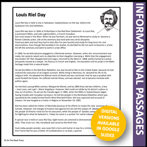

Louis Riel Day Grades 4-6 Google Slides & Printables
$3.45 CAD
Louis Riel Day celebrates the life of a rebel who fought for the rights of his people, the Metis. Share his life story and this celebration with your students. The follow-up focuses on the students' ability to recall events and the...

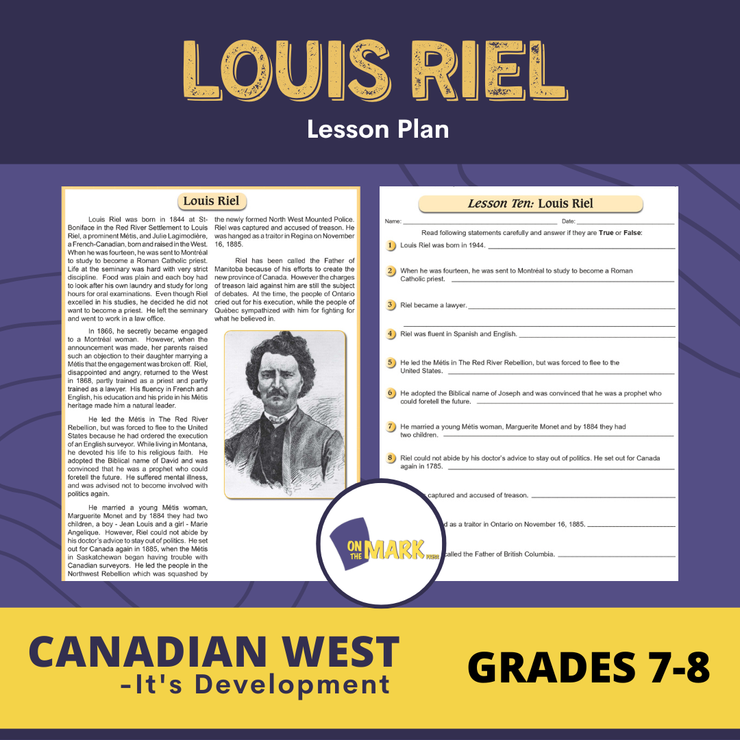


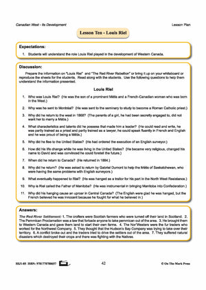
Louis Riel Lesson Plan Grades 7-8
$3.95 CAD
Students will understand the role Louis Riel played in the development of Western Canada. Includes a complete lesson plan with discussion questions for the topic, reading passage and follow-up worksheets, and answer key. 3 pages Here's what teachers are saying about this...
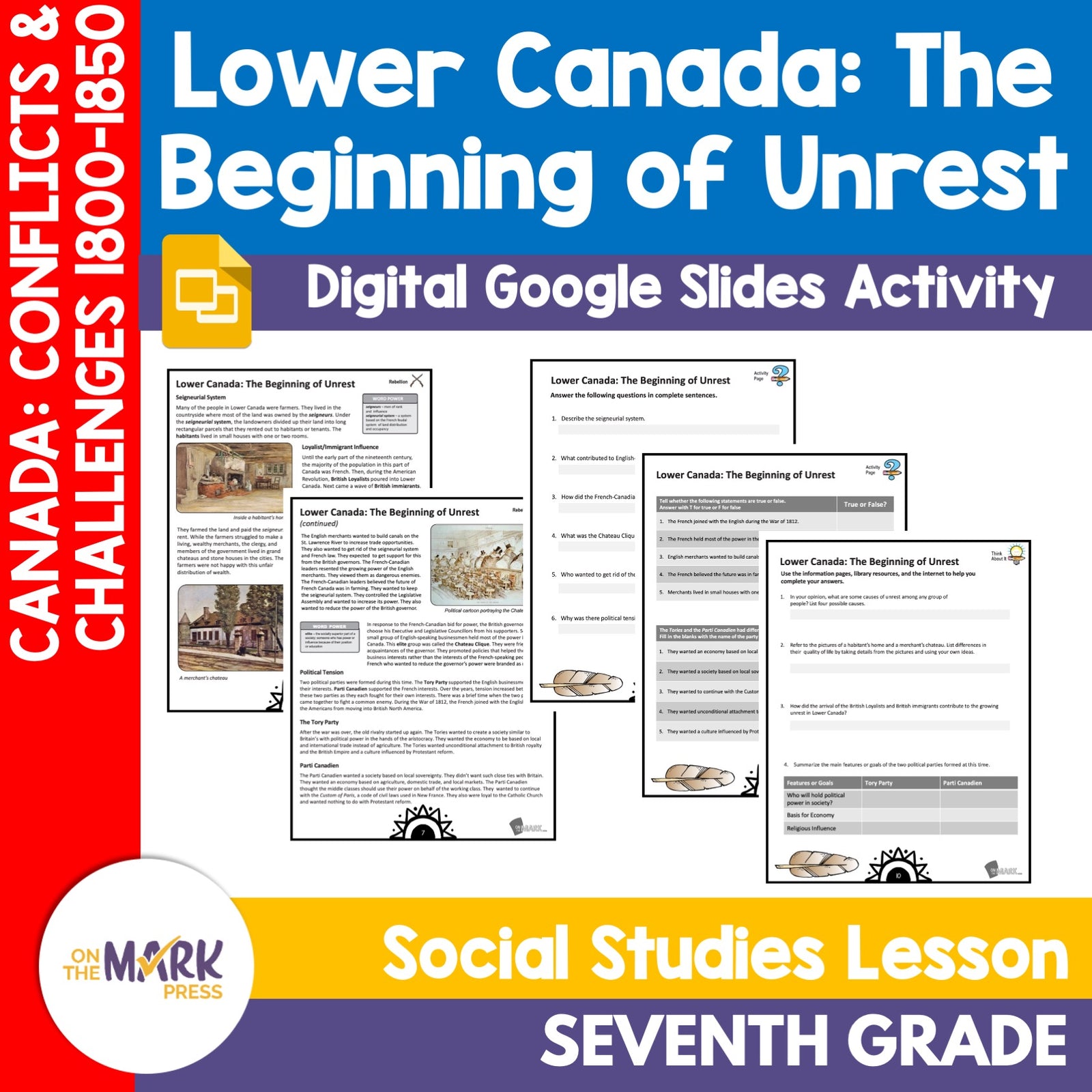


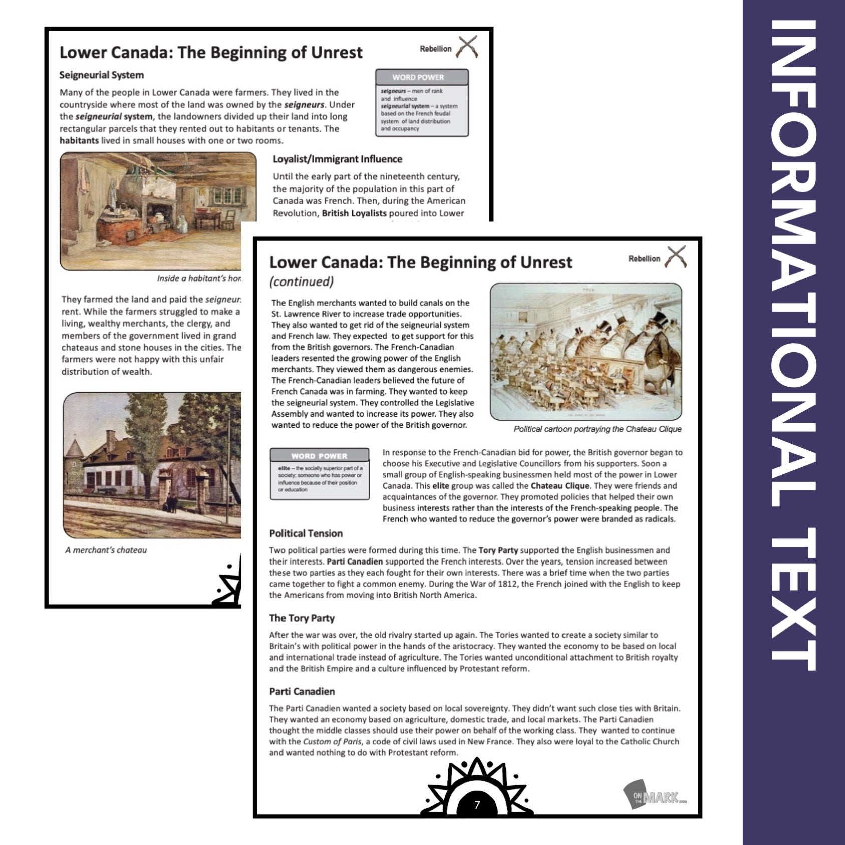
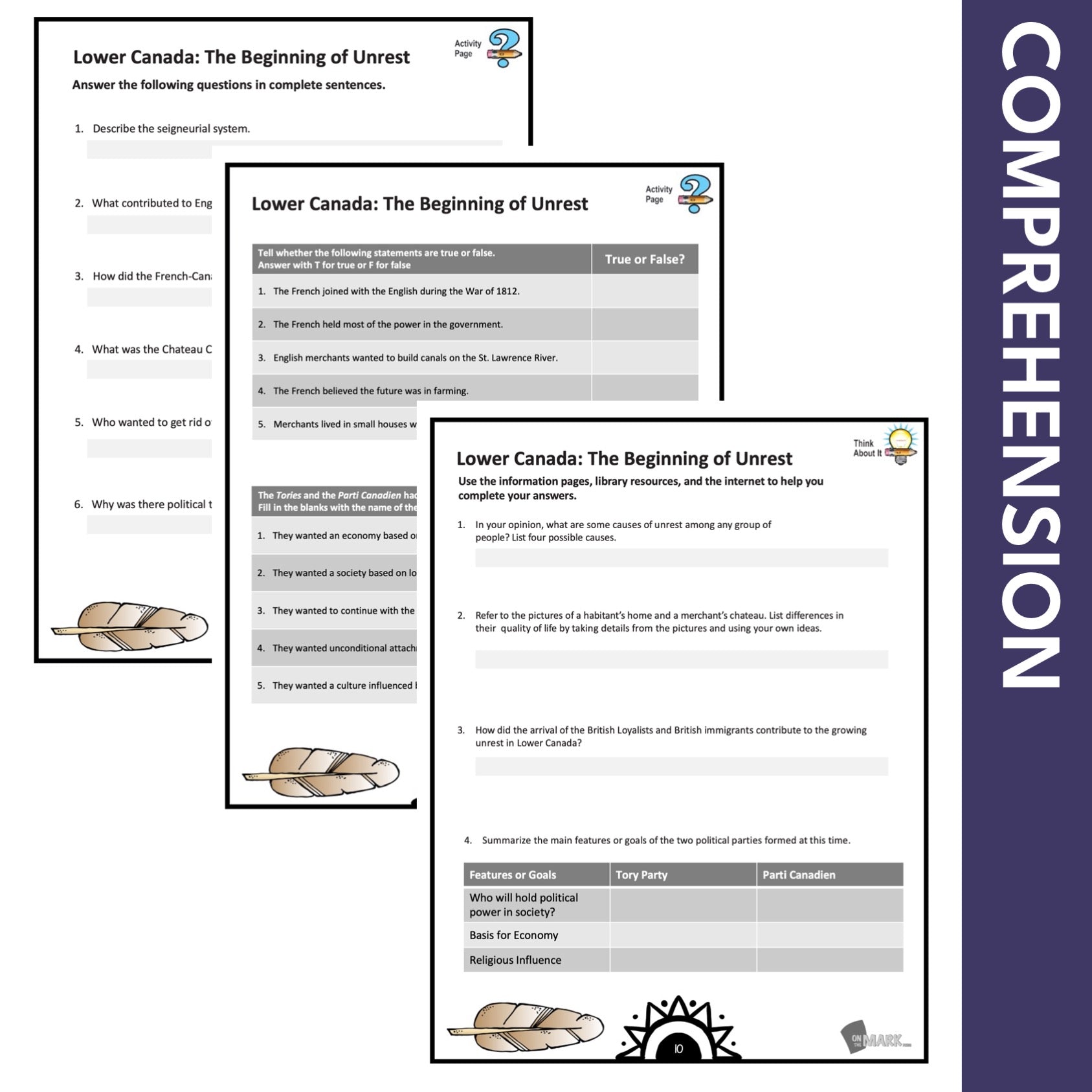


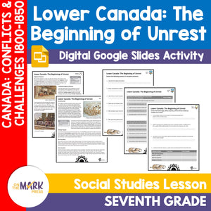
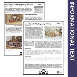
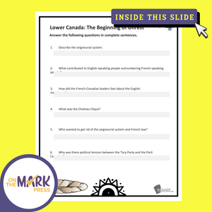
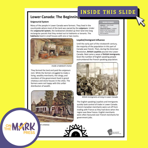
Lower Canada: The Beginning of Unrest Grade 7 Google Slides Lesson & Printables
$4.45 CAD
Students will learn about the "Beginning of Unrest in Lower Canada" with the information and follow-up slides. The reading passages and question pages for each topic form a complete lesson that can be integrated into your existing history curriculum. The...

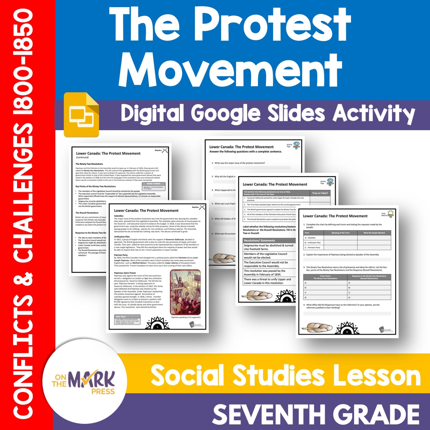


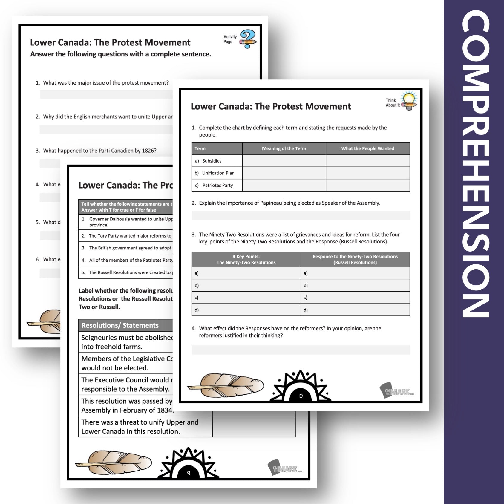
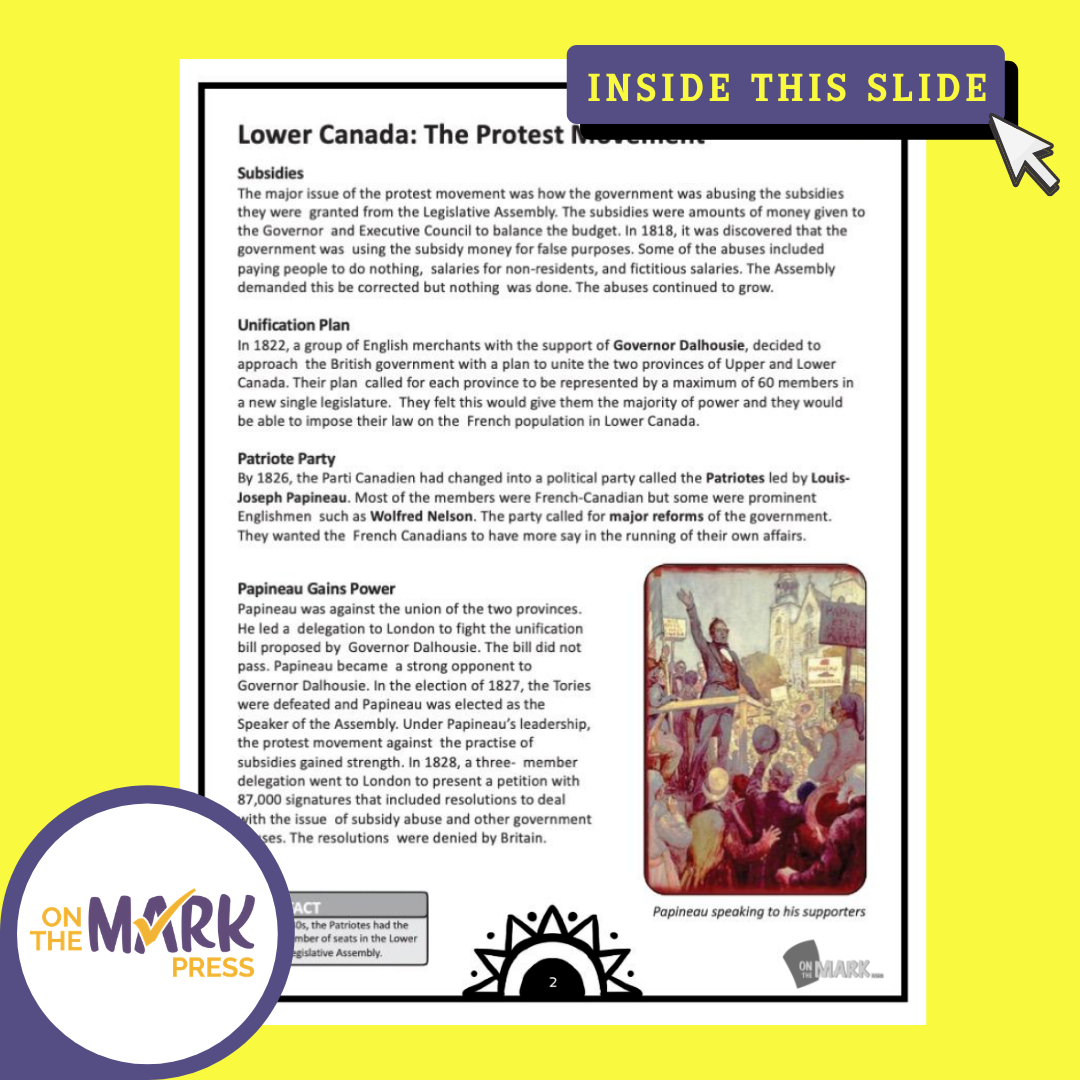


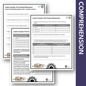

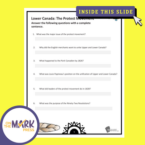
Lower Canada: The Protest Movement Grade 7 Google Slides Lesson & Printables
$4.45 CAD
Students will learn about the "Protest Movement in Lower Canada" with the information and follow-up slides. The reading passages and question pages for each topic form a complete lesson that can be integrated into your existing history curriculum. The material...

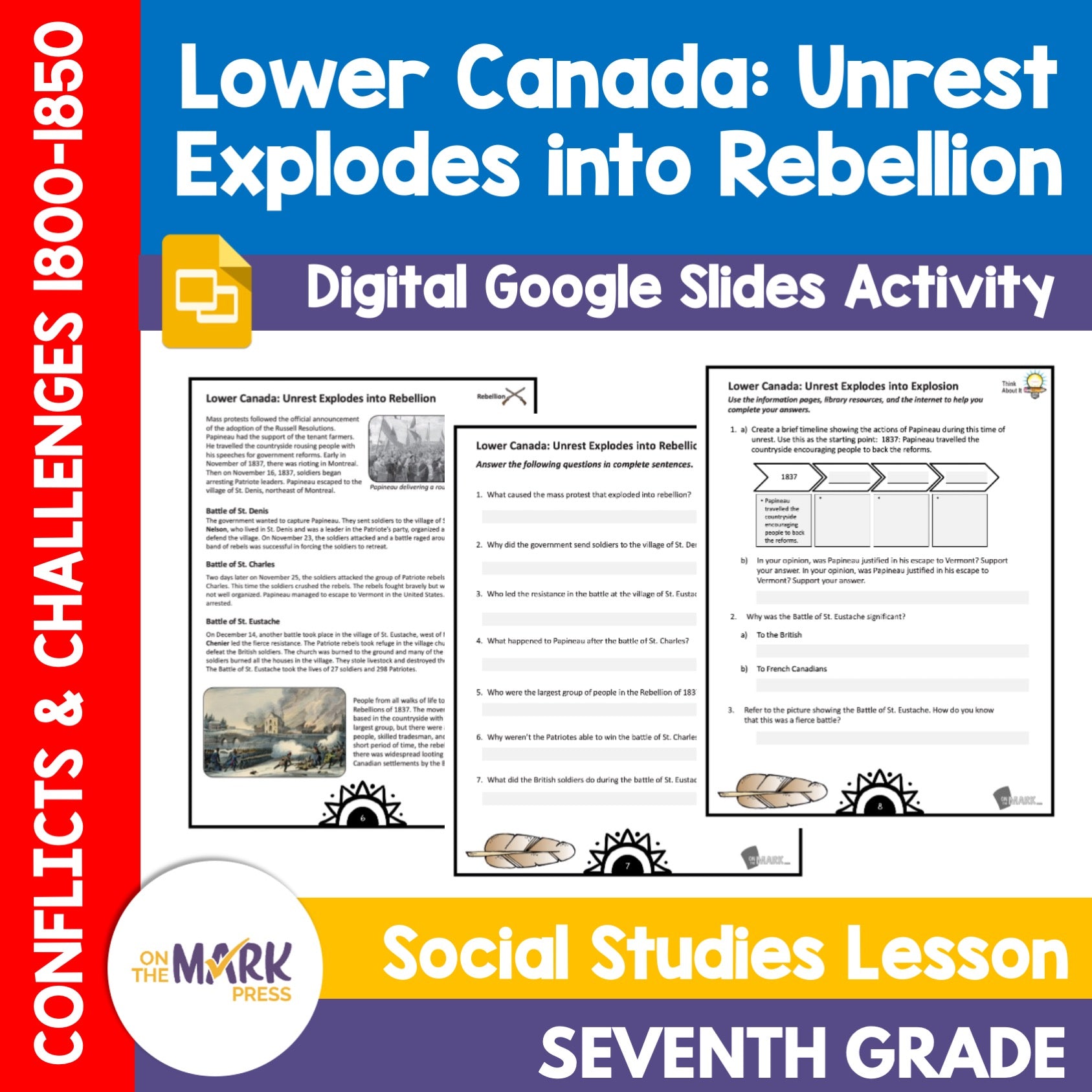

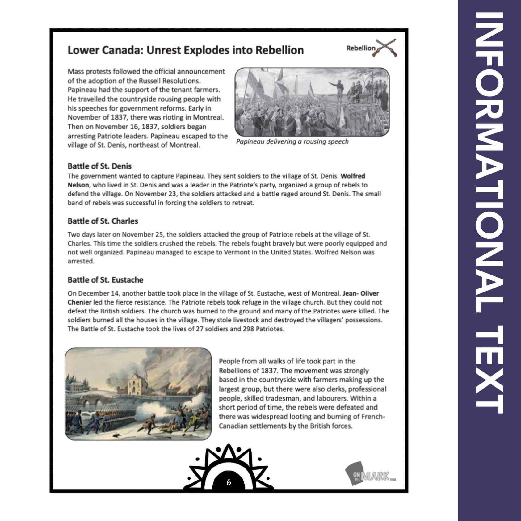
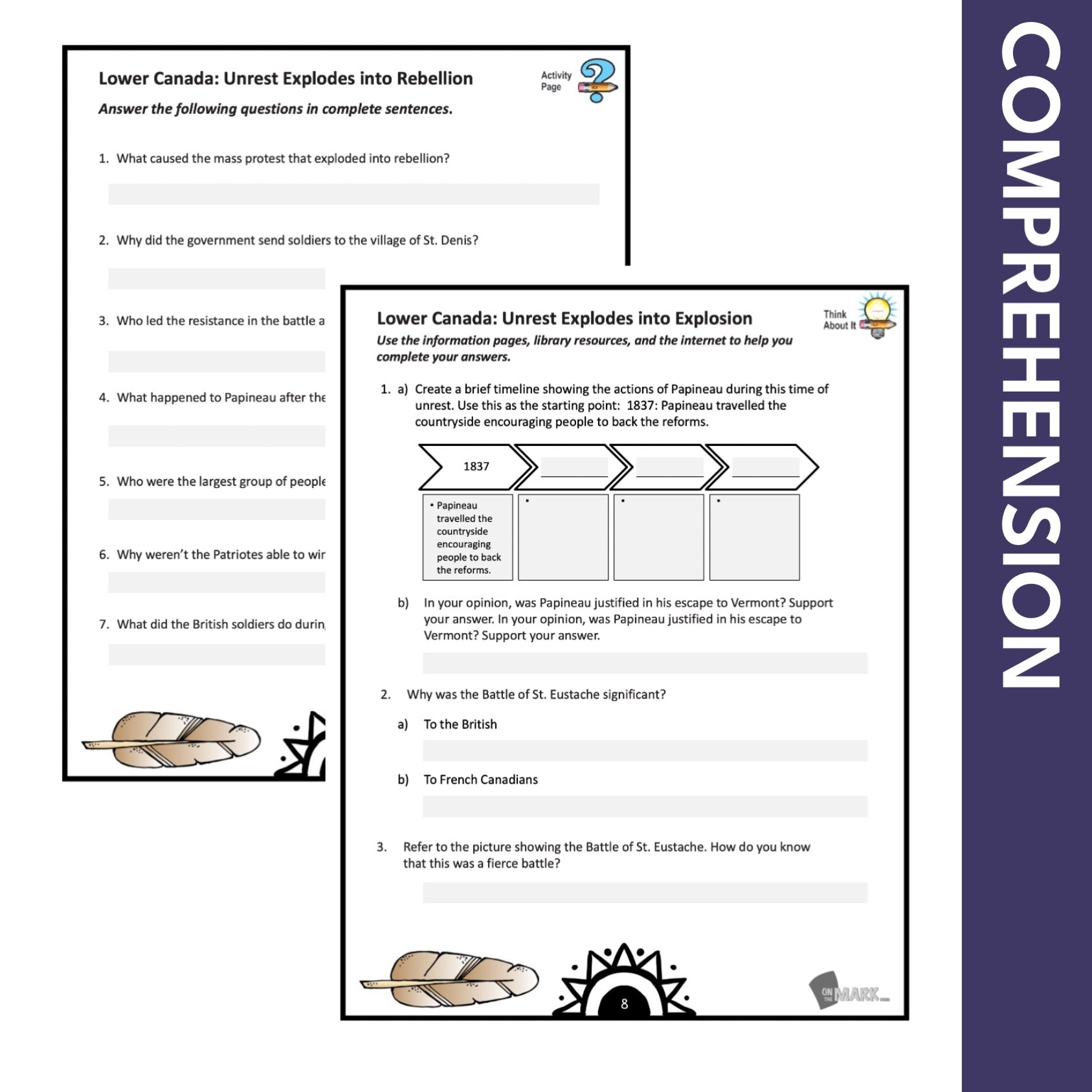


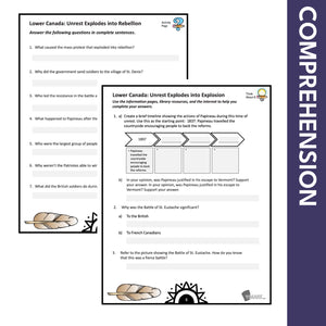
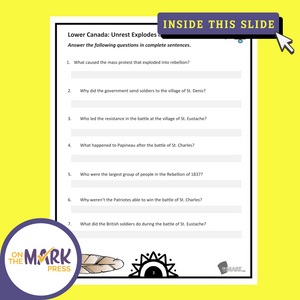
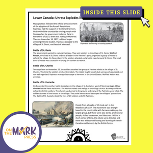
Lower Canada: Unrest Explodes into Rebellion Grade 7 Google Slides Lesson & Printables
$2.45 CAD
Students will learn about how the "Unrest in Lower Canada Explodes into Rebellion" with the information and follow-up slides. The reading passages and question pages for each topic form a complete lesson that can be integrated into your existing history curriculum. The...


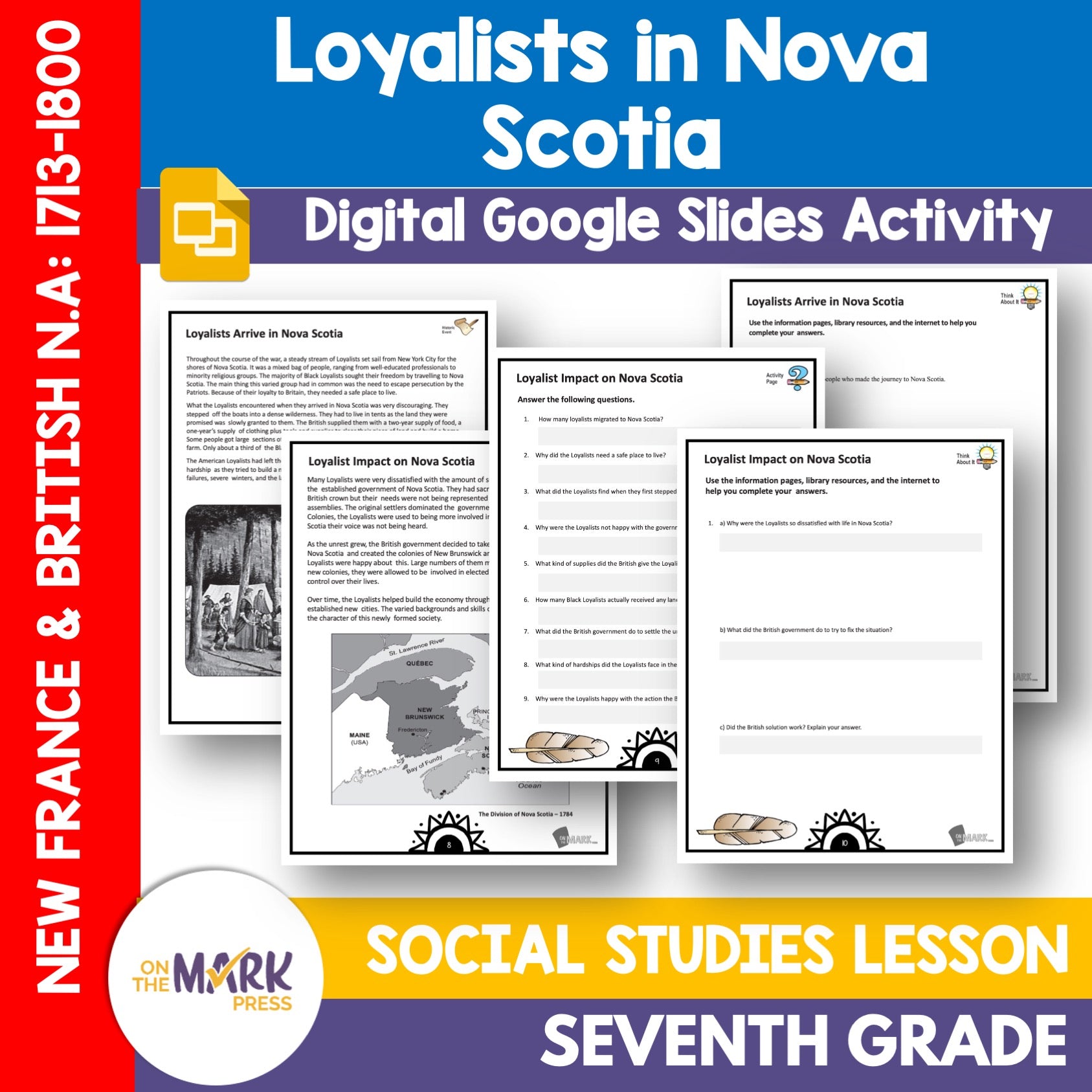
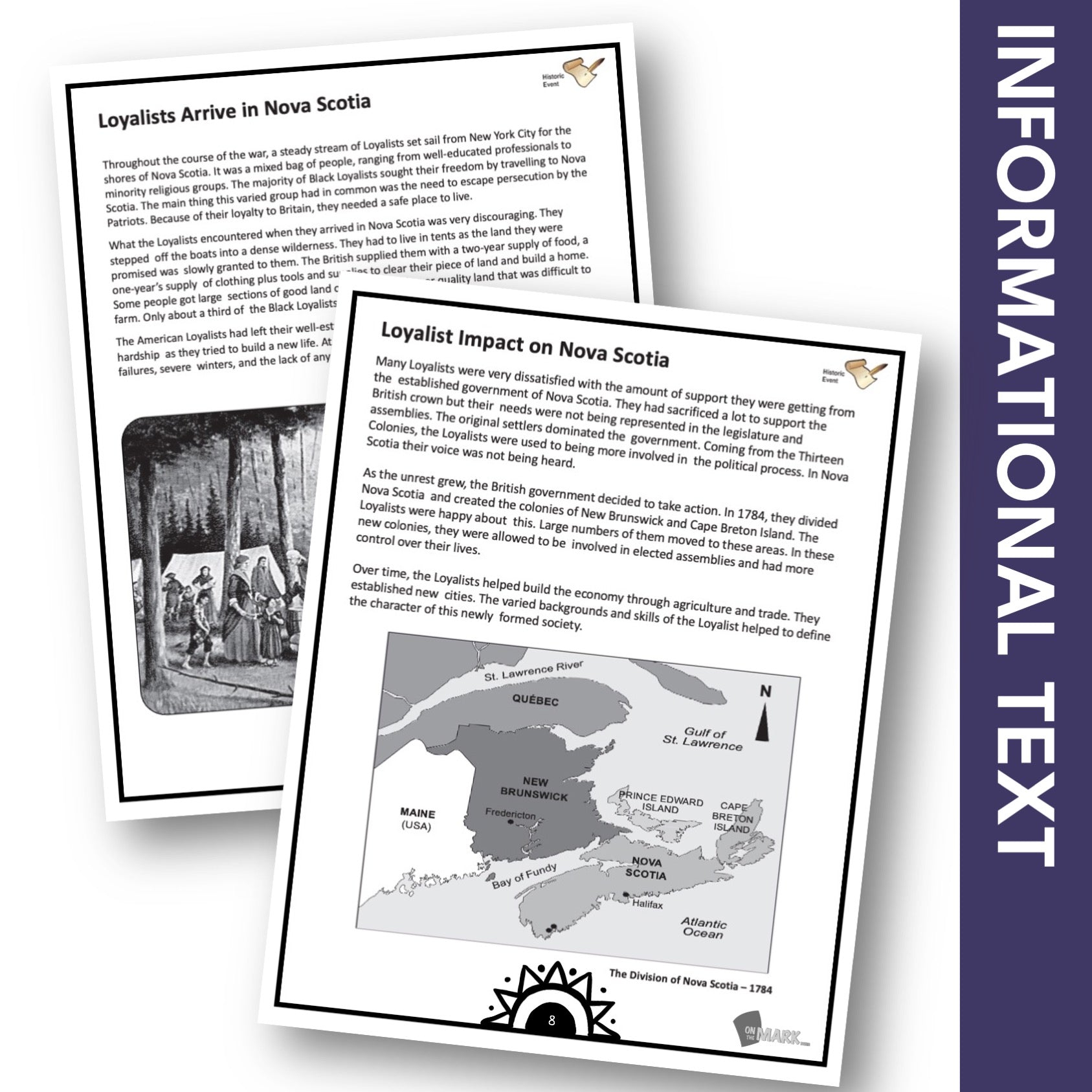
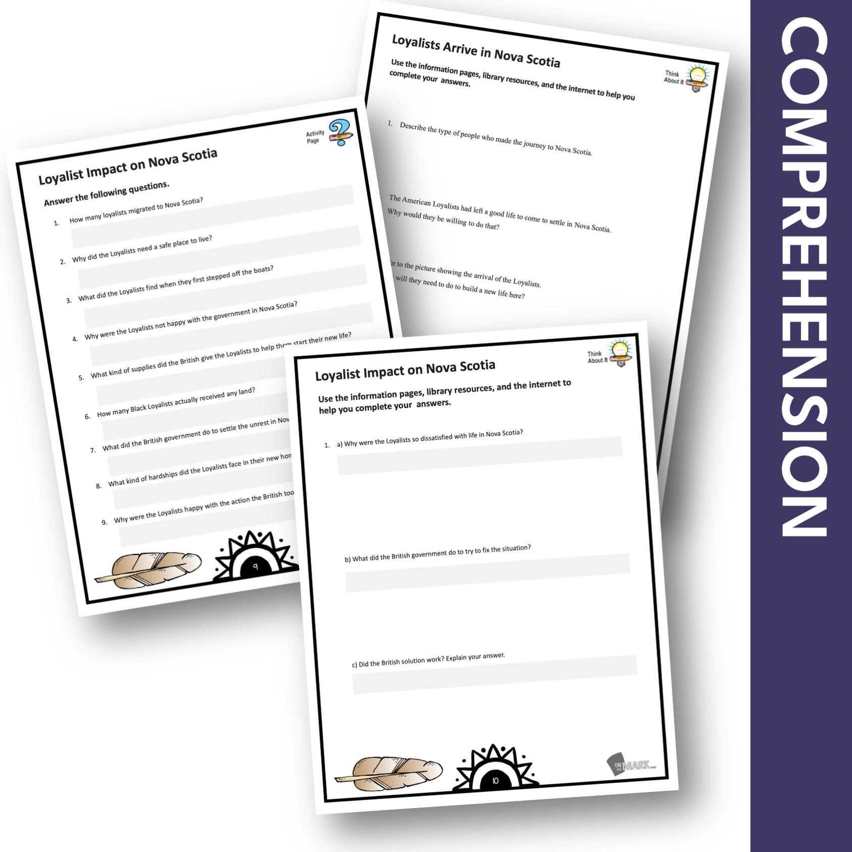
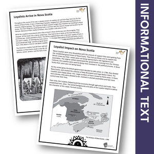
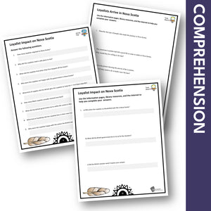
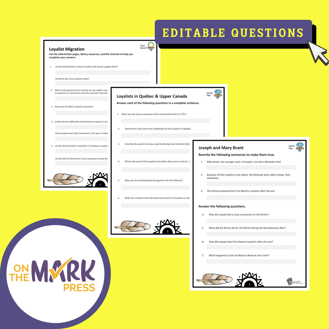
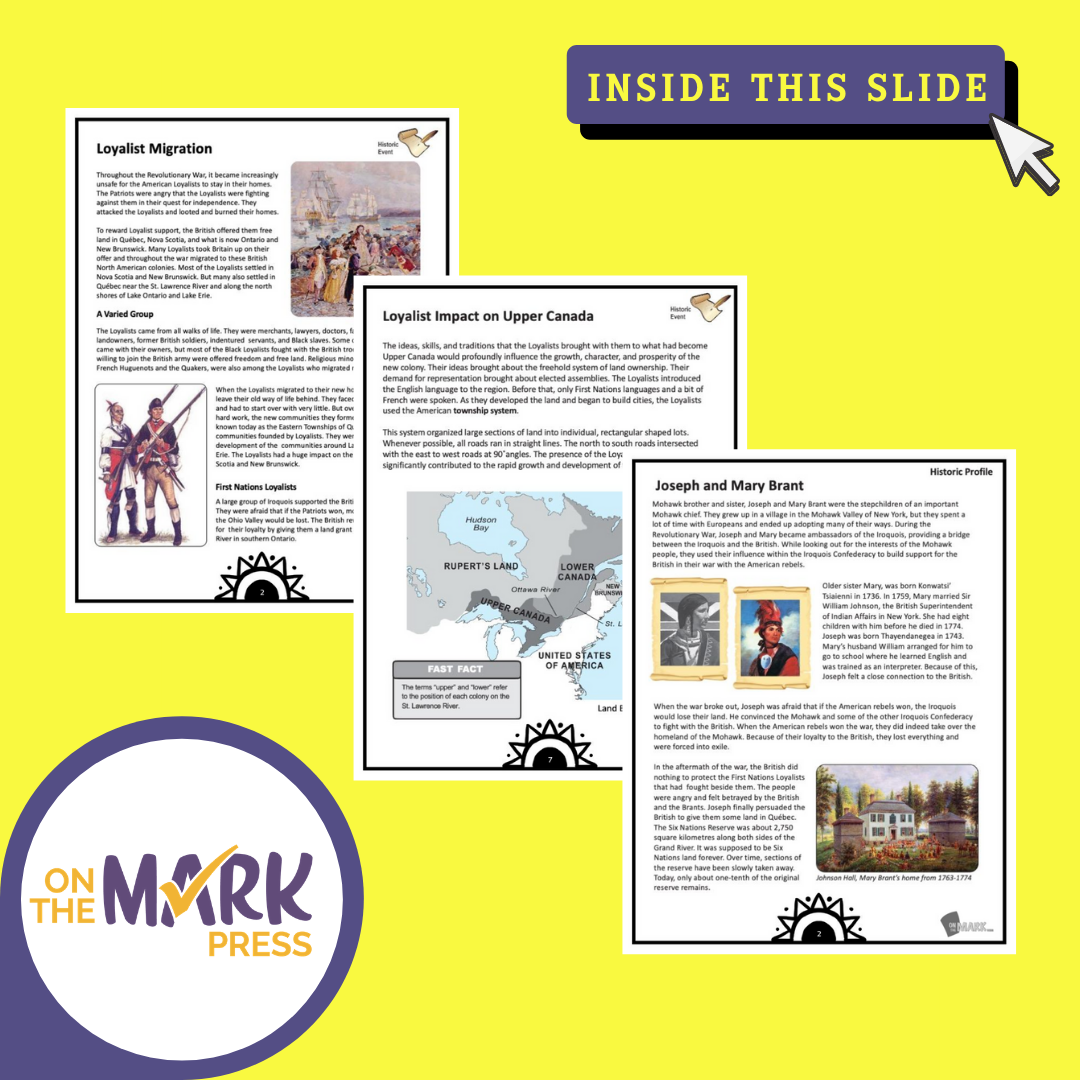
Loyalists Arrive in Nova Scotia Grade 7 Google Slides Lesson & Printables
$4.45 CAD
Students will learn about when the Loyalists arrived in Nova Scotia with the information and follow-up slides. The reading passages and question pages for each topic form a complete lesson that can be integrated into your existing history curriculum. The...


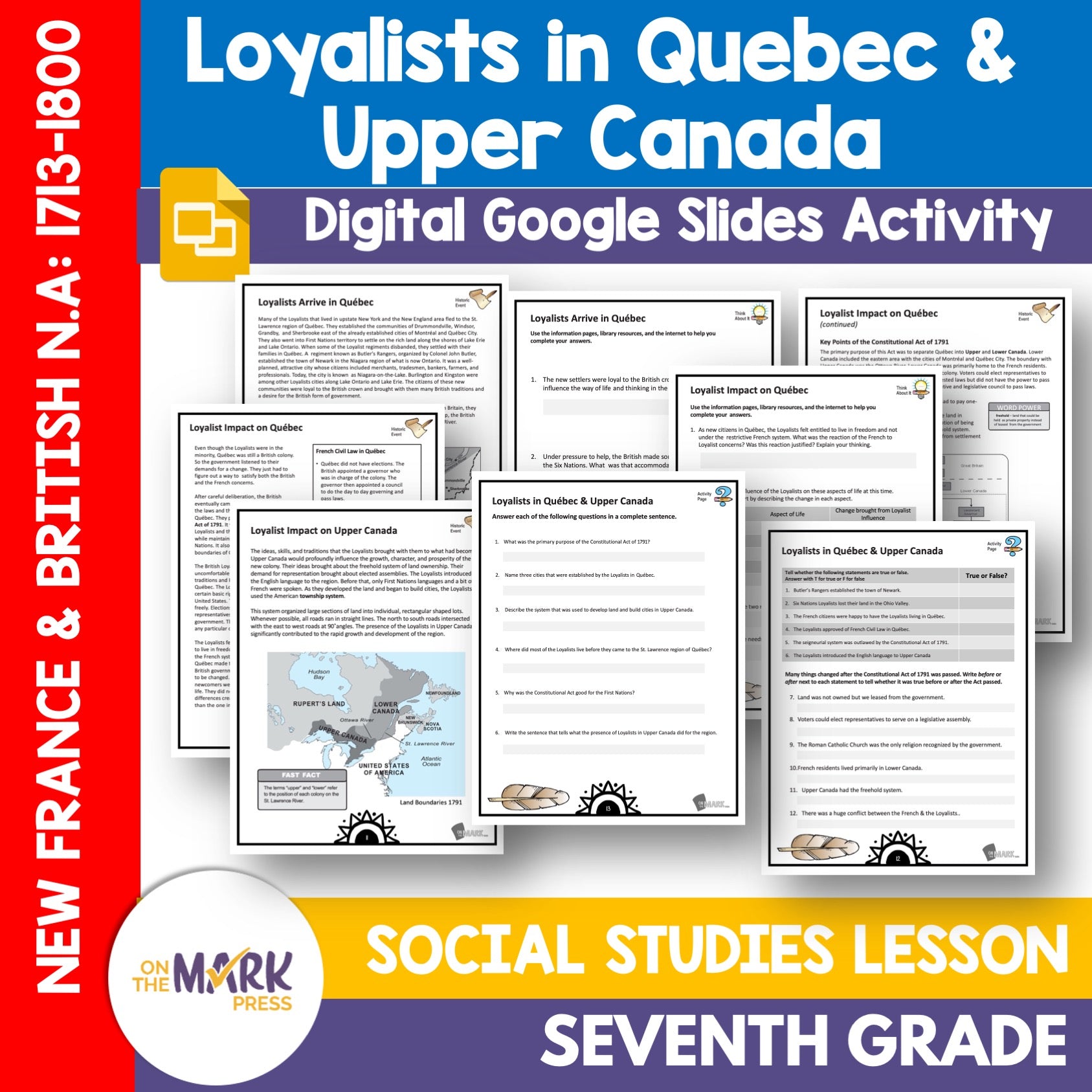
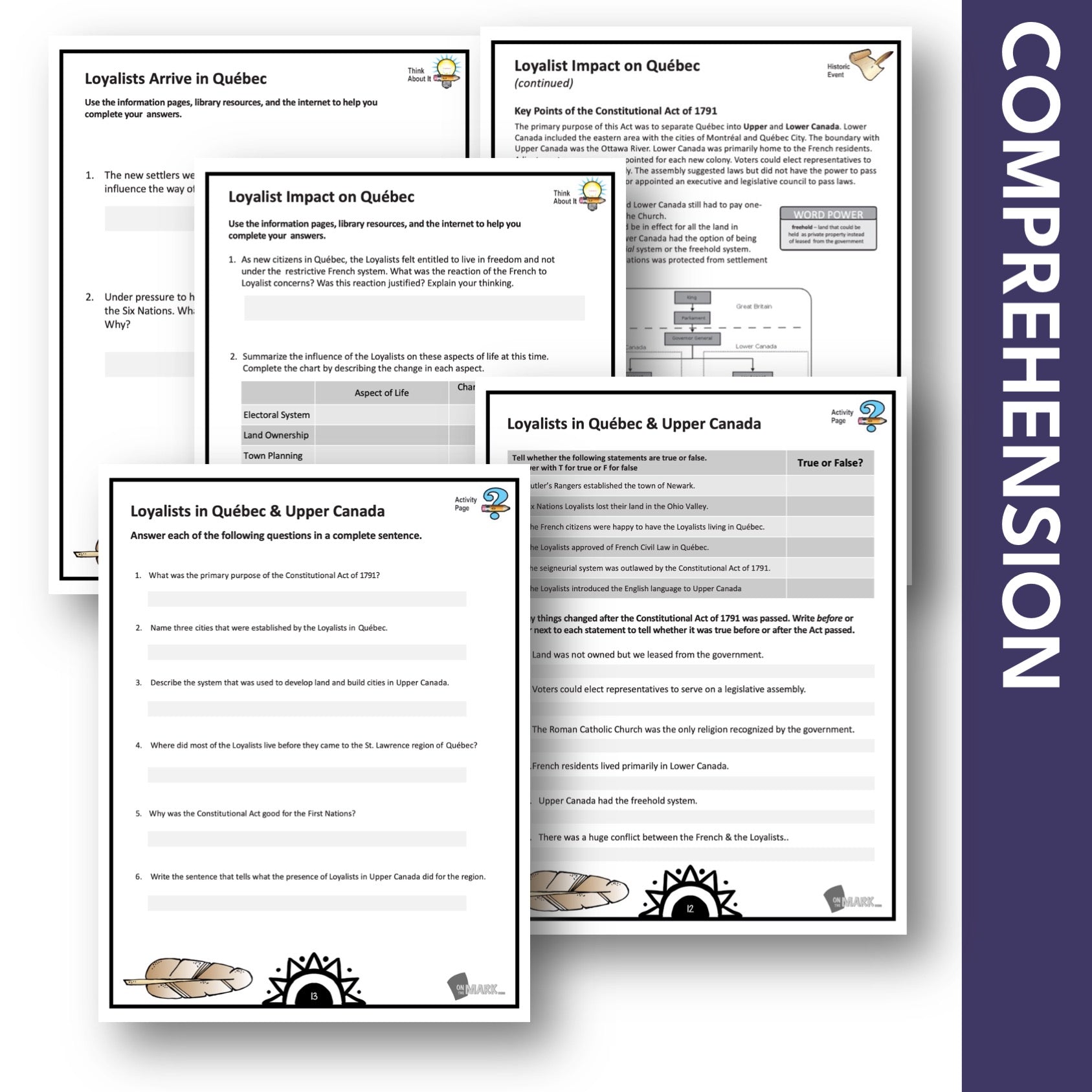

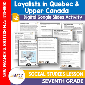
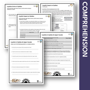
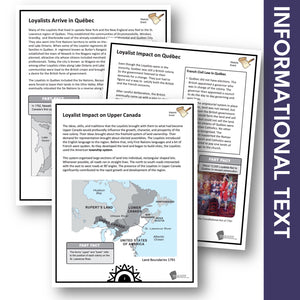
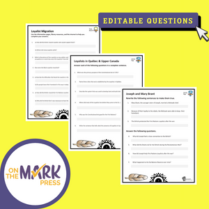
Loyalists Arrive in Quebec & Upper Canada Grade 7 Google Slides Lesson & Printables
$4.95 CAD
Students will learn about when the Loyalists arrived in Quebec and Upper Canada with the information and follow-up slides. The reading passages and question pages for each topic form a complete lesson that can be integrated into your existing history...


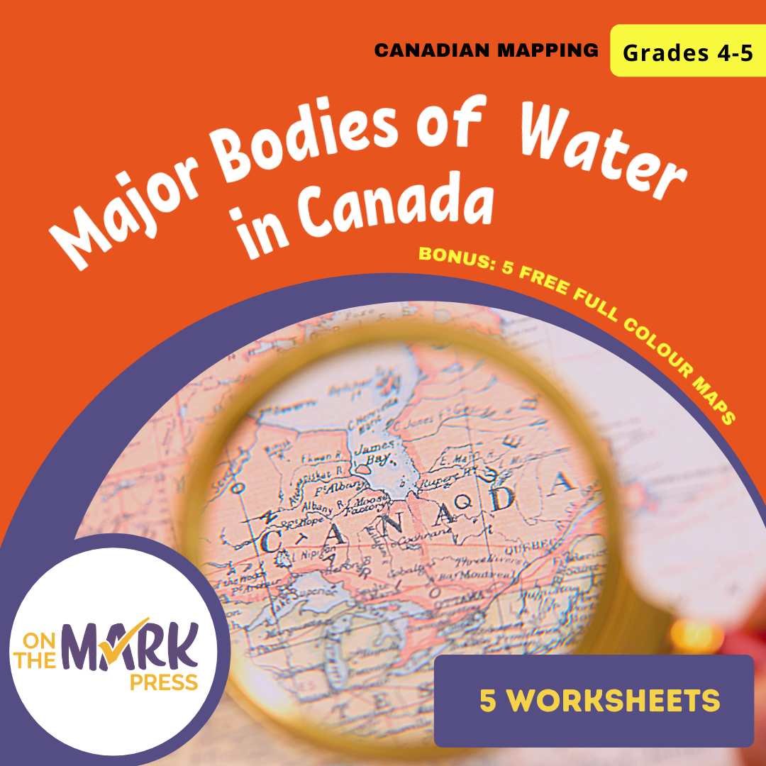
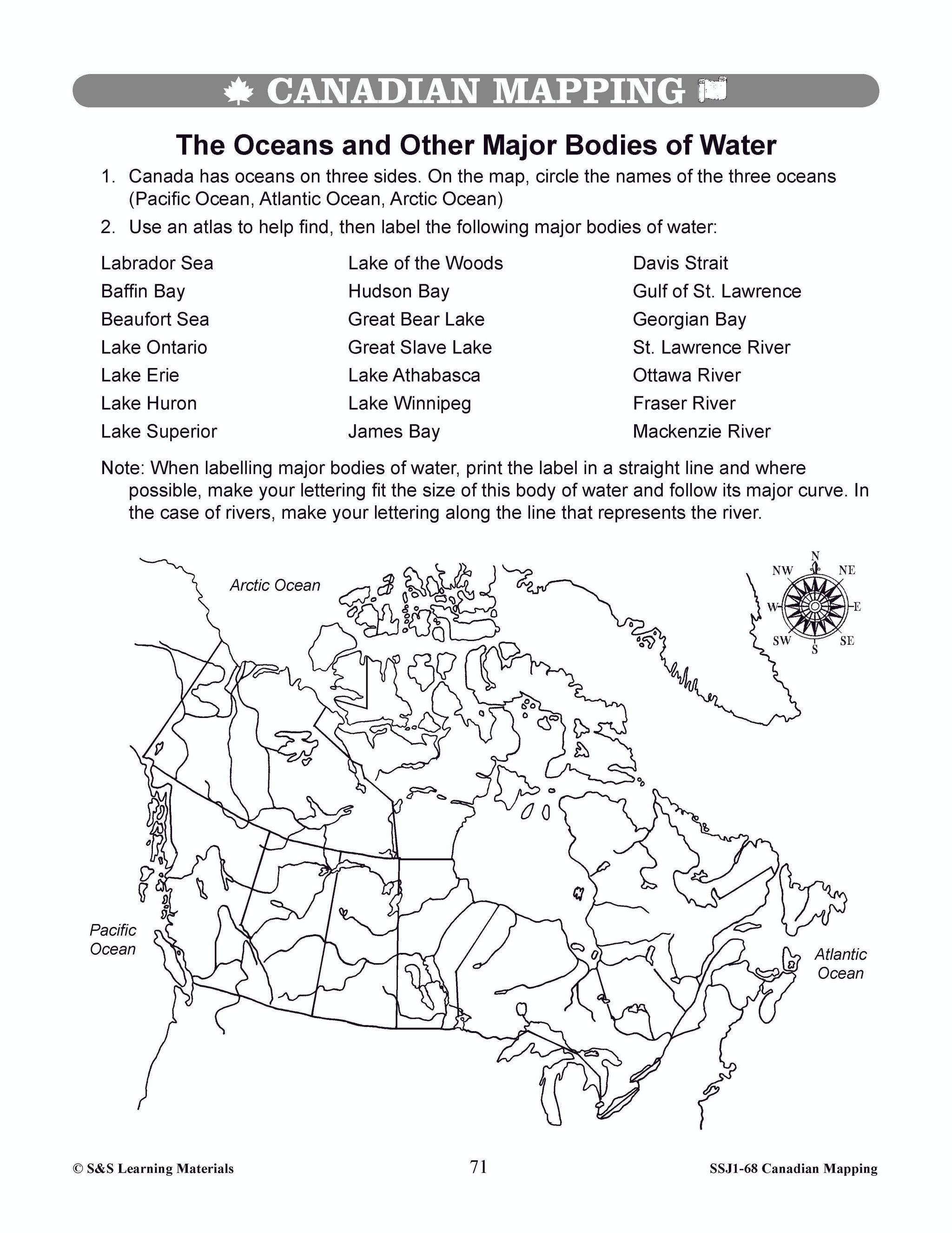


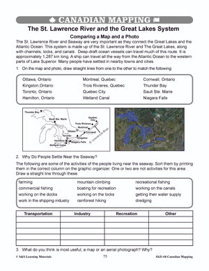
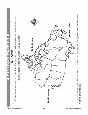
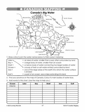
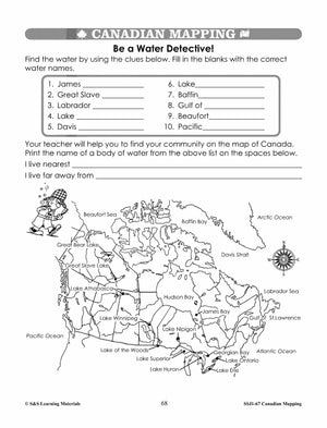
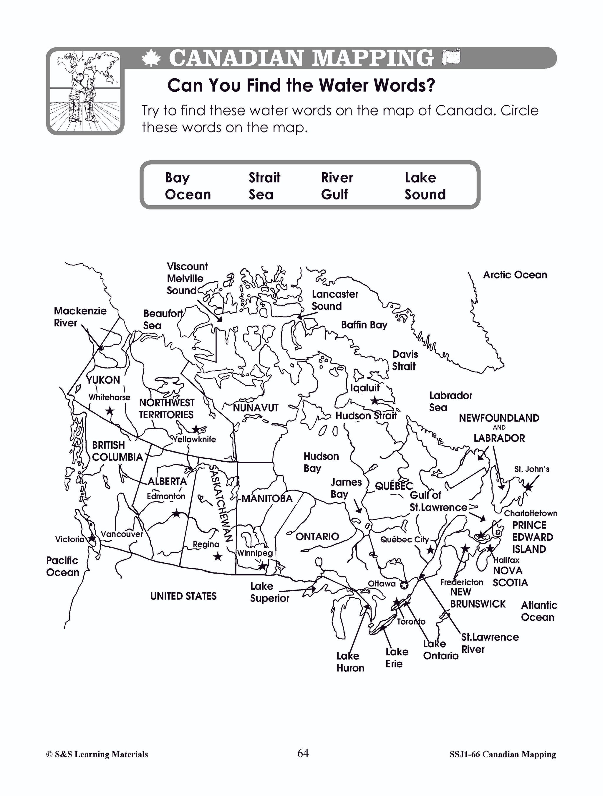
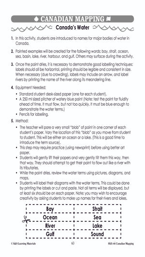
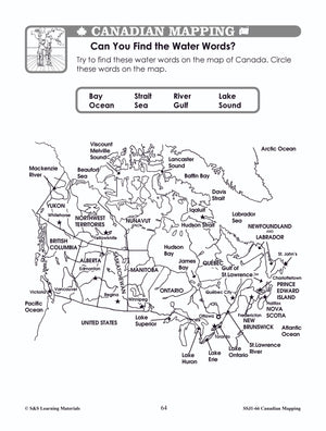
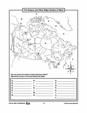
Major Bodies of Water in Canada Worksheets Grades 4-5
$7.45 CAD
Students will learn about major bodies of water in Canada with the five worksheets in this lesson. Teacher information on these topics: what a map is, types of maps, how to read a map, map indexes, scale, and geographic grids,...
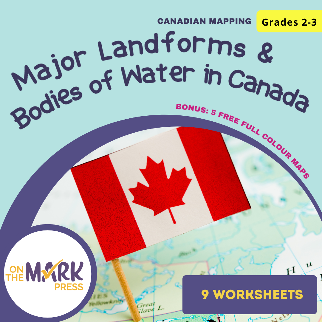


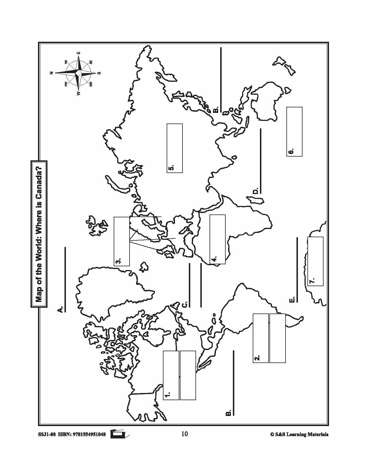
Major Landforms & Bodies of Water in Canada Mapping Worksheets Grades 2-3
$7.45 CAD
Students will learn about major landforms and bodies of water in Canada with the nine worksheets. Teacher information on these topics: what a map is, types of maps, how to read a map, map indexes, hemispheres, directional indicators, and map...

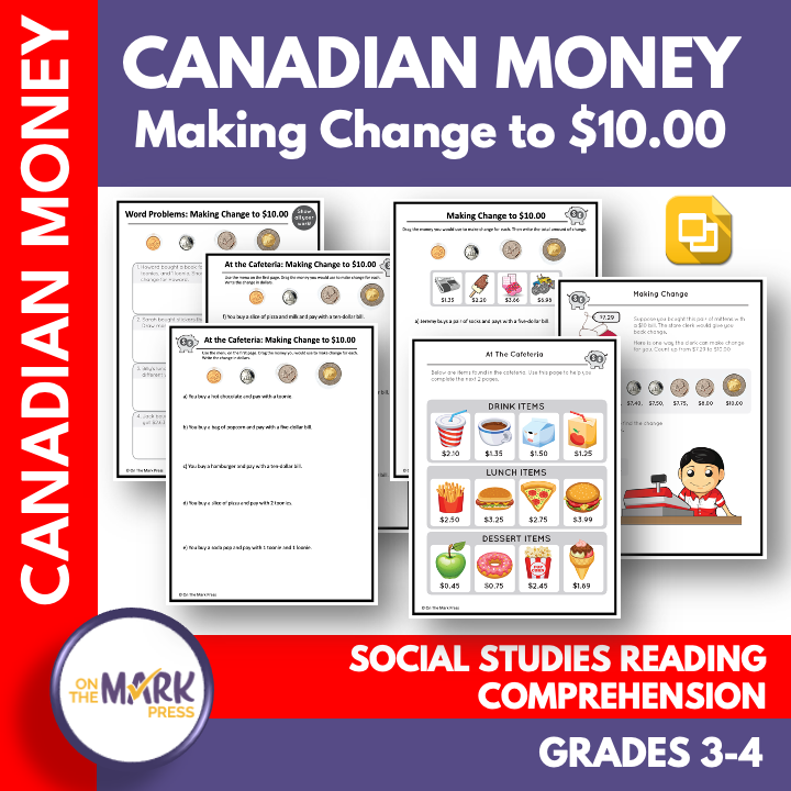


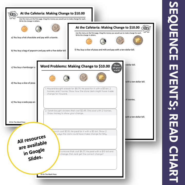
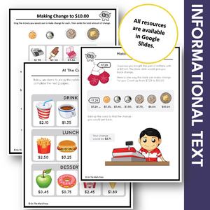
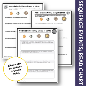
Making Change to $10 with Canadian Money Grades 3-4 Google Slides & Printables
$4.45 CAD
These 4 worksheets help students add and subtract money amounts, using a variety of tools to make simulated purchases and change for amounts up to $10. The links in the PDF direct you to the google slide lesson. There are...

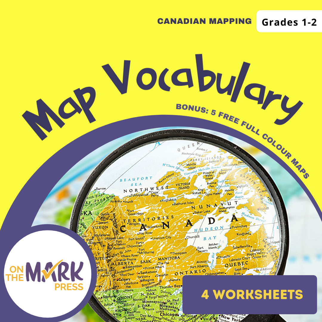

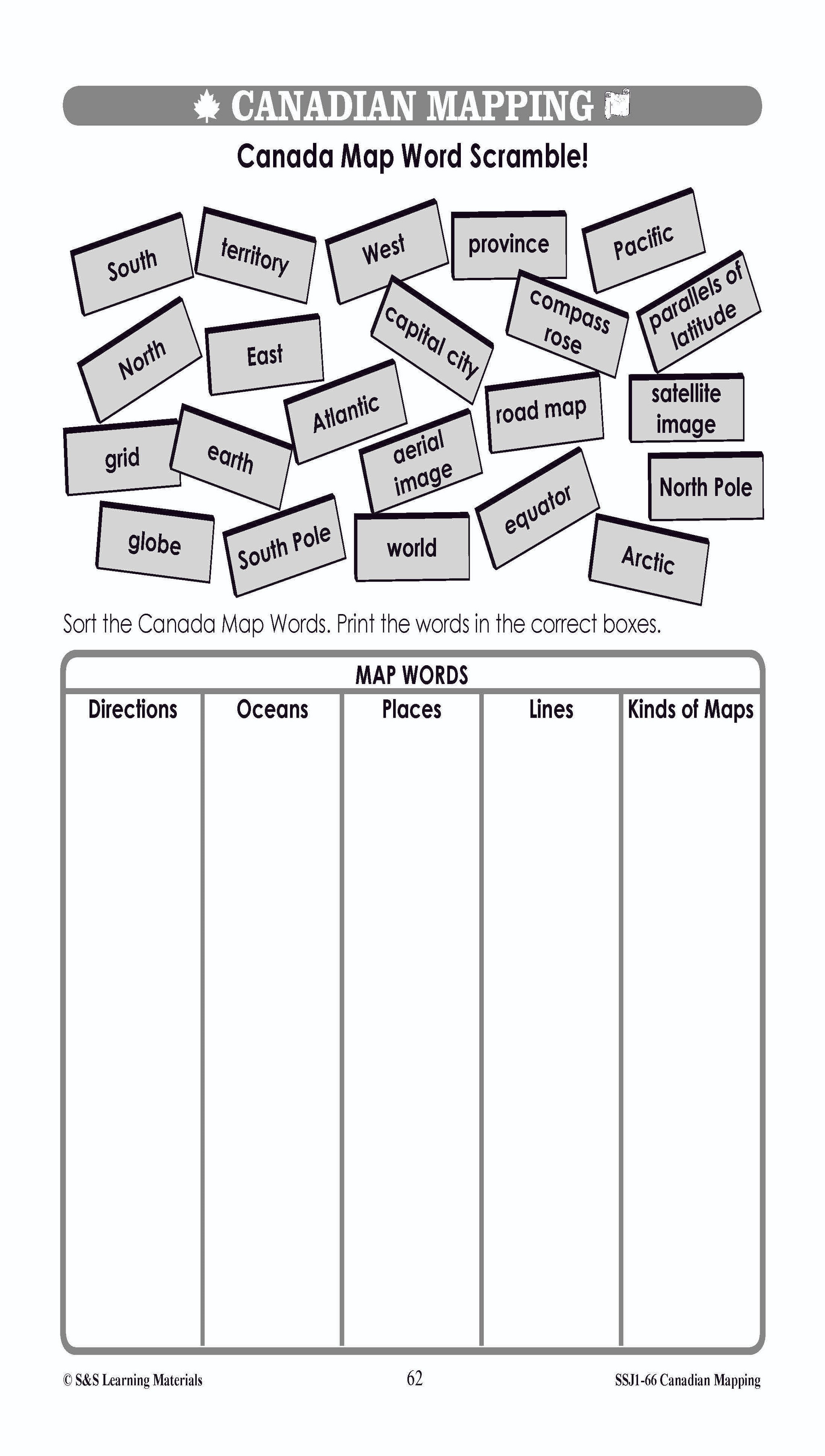

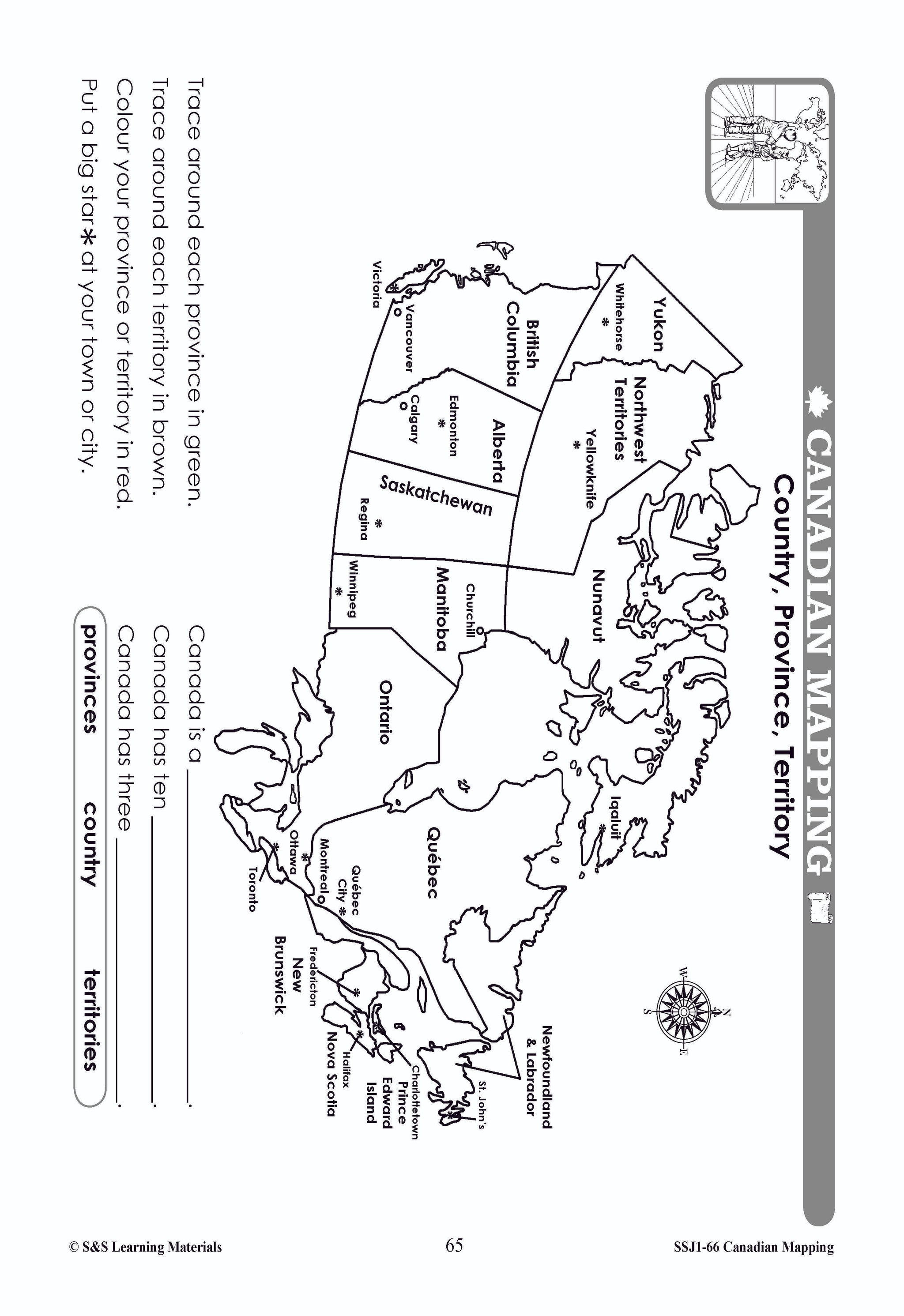


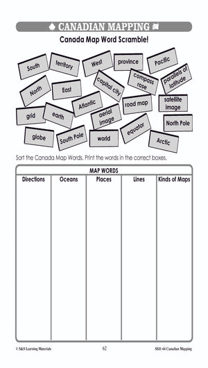


Map Vocabulary Worksheets Grades 1-2
$7.25 CAD
Students will learn map vocabulary with the 4 worksheets. Teacher information on these topics: what a map is, types of maps, how to read a map, map indexes, hemispheres, directional indicators, and map symbols. The glossary of geographic terms can...

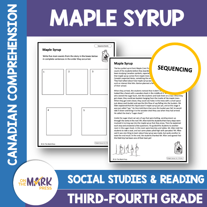

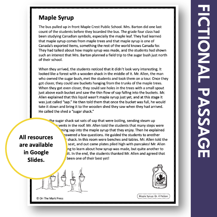

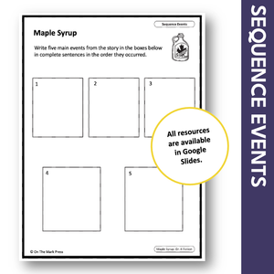
Maple Syrup: A Canadian Social Studies Reading Lesson Grades 3-4 Google Slides
$2.95 CAD
This fiction reading lesson is tailored to integrate language-based social studies content into their literacy time. Students will learn to read about Mrs. Barton's class trip to the sugar shack. Literacy Skills: Sequencing The links in the PDF direct you...


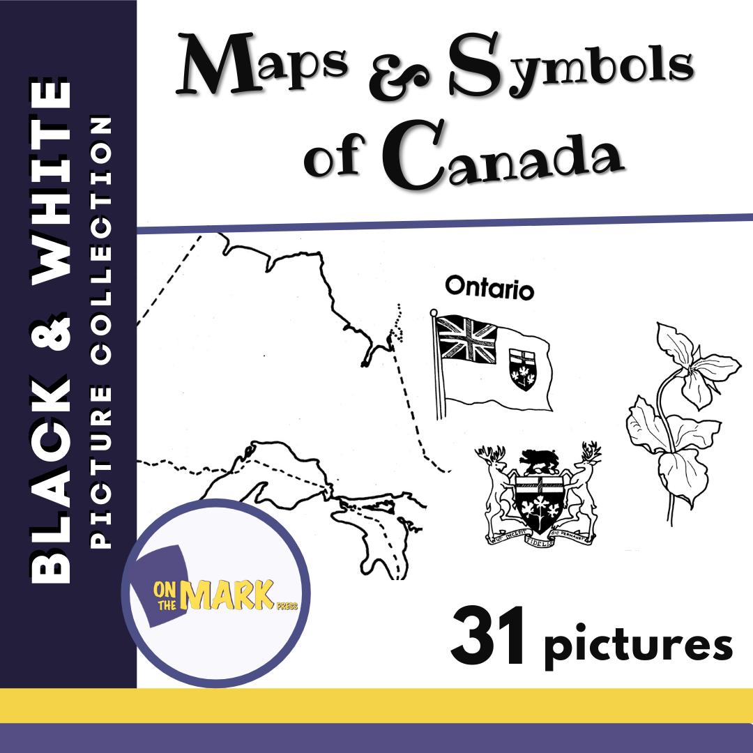

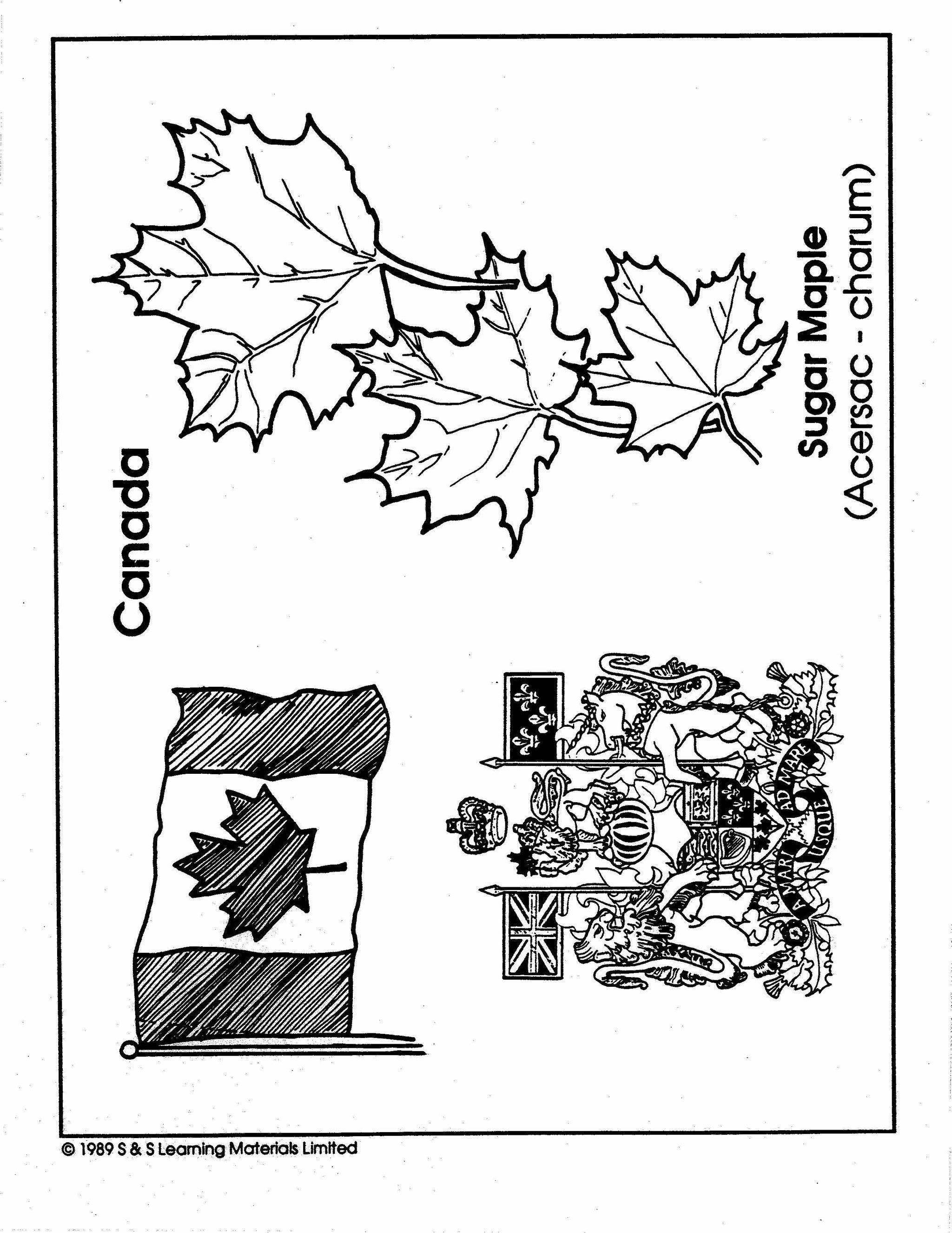


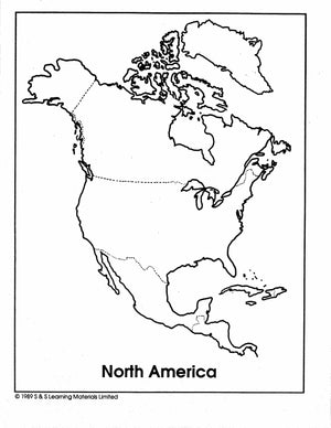

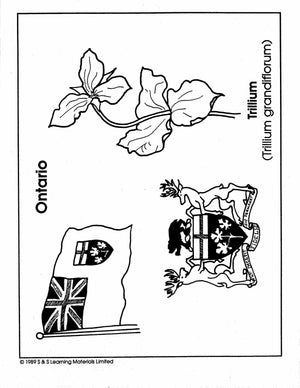
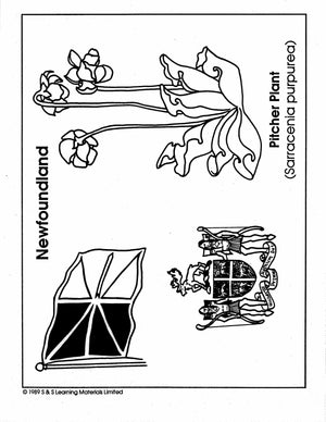
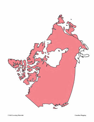
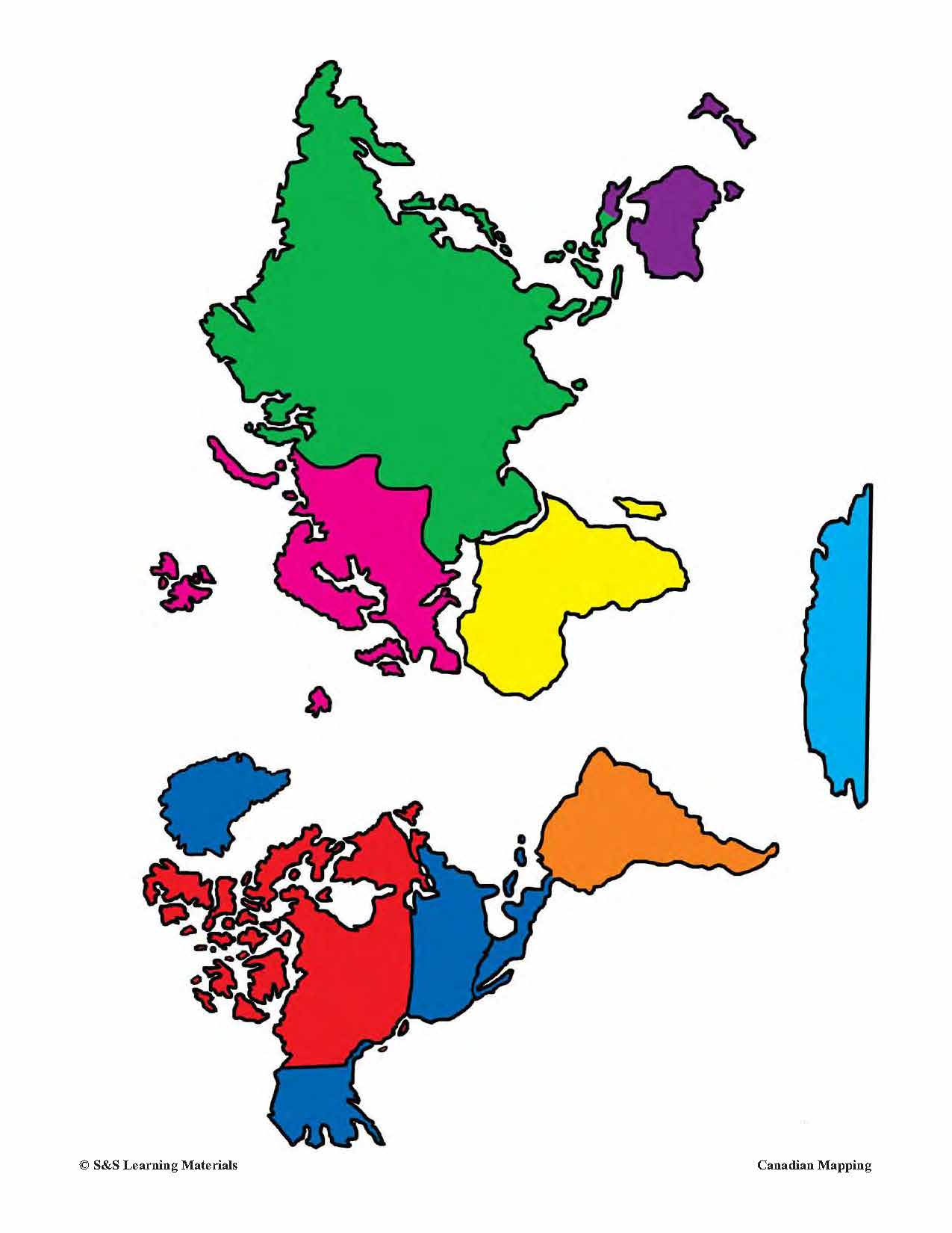
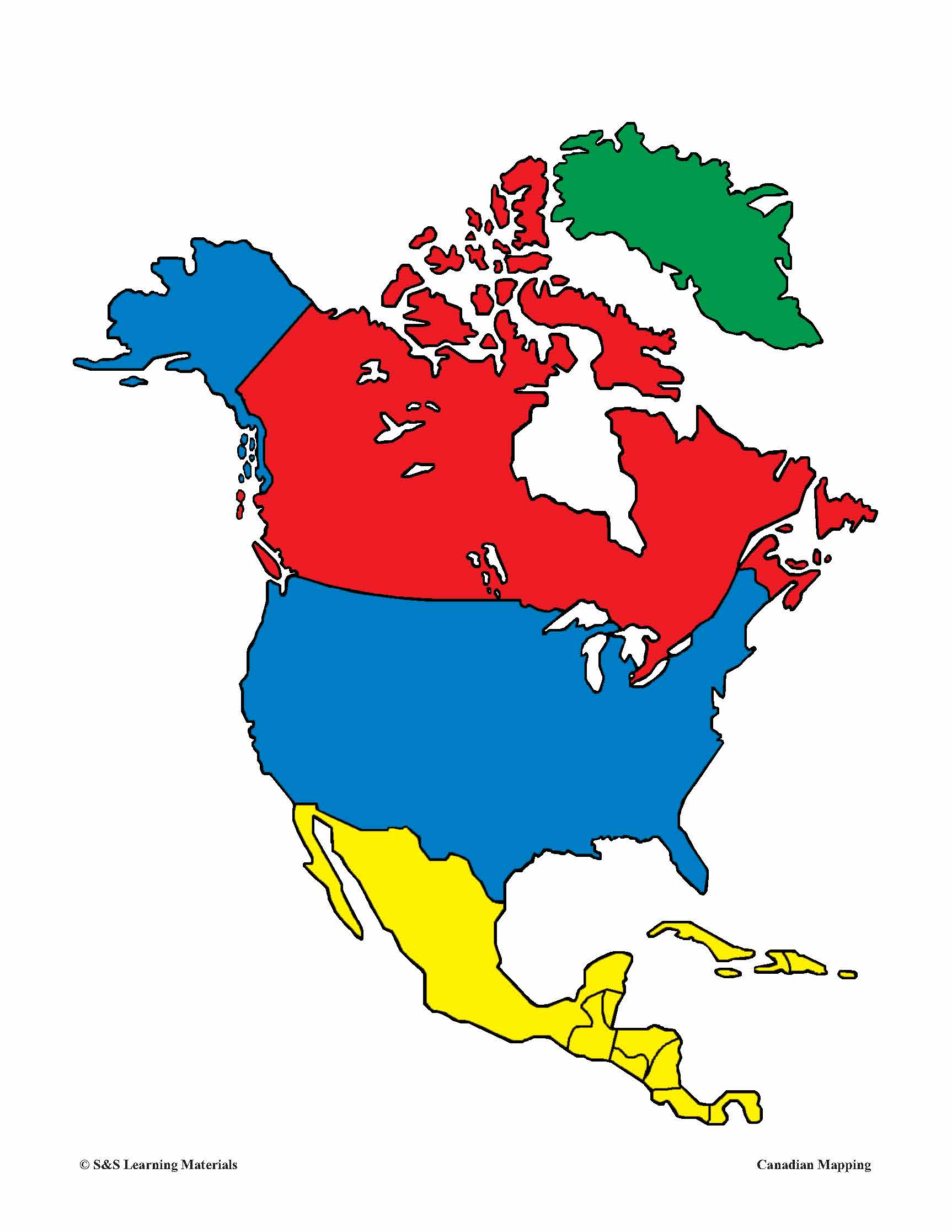
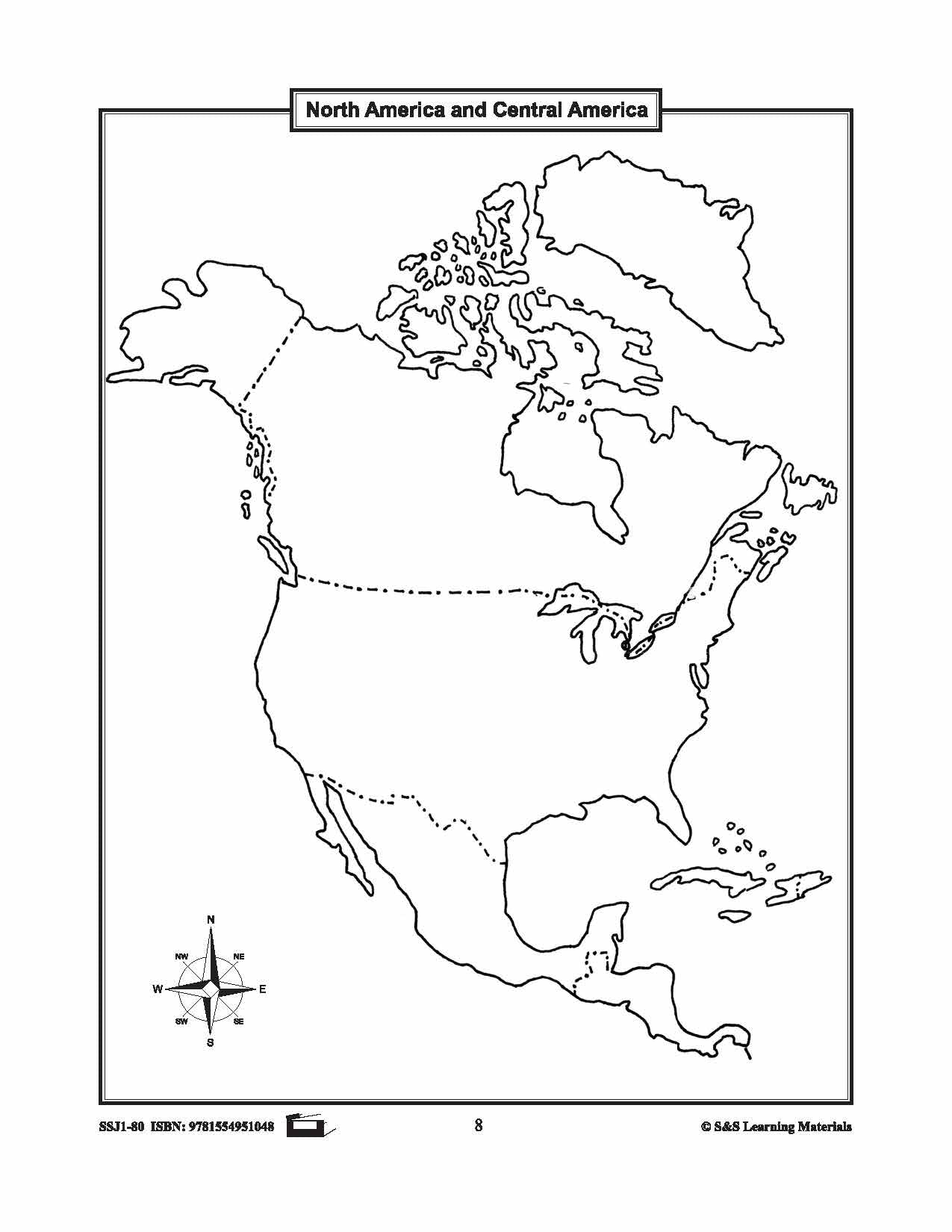
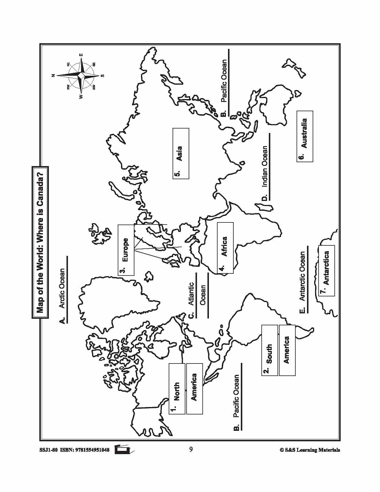
Maps & Symbols of Canada Black & White Picture Collection Grades K-8
$13.99 CAD
31 black and white illustrations ranging from The World, North America, Newfoundland, Nova Scotia, Prince Edward Island, Quebec and New Brunswick plus many more. This collection can be easily integrated into any area of the curriculum. Uses for the illustrations:...


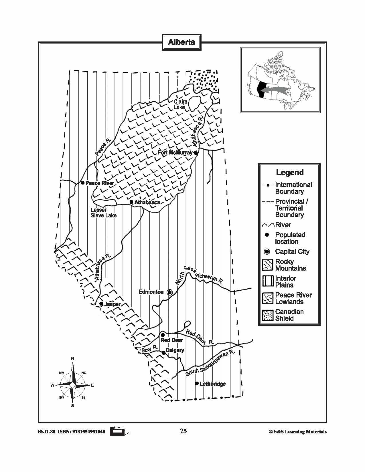


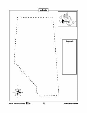
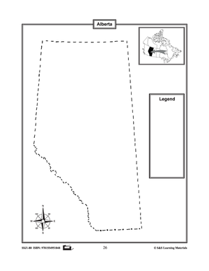
Maps of Alberta Grades 4-8
$3.45 CAD
The maps will help students learn about Alberta and its international and provincial/territorial boundary, rivers, landforms, the capital city, and other cities. 2 pages
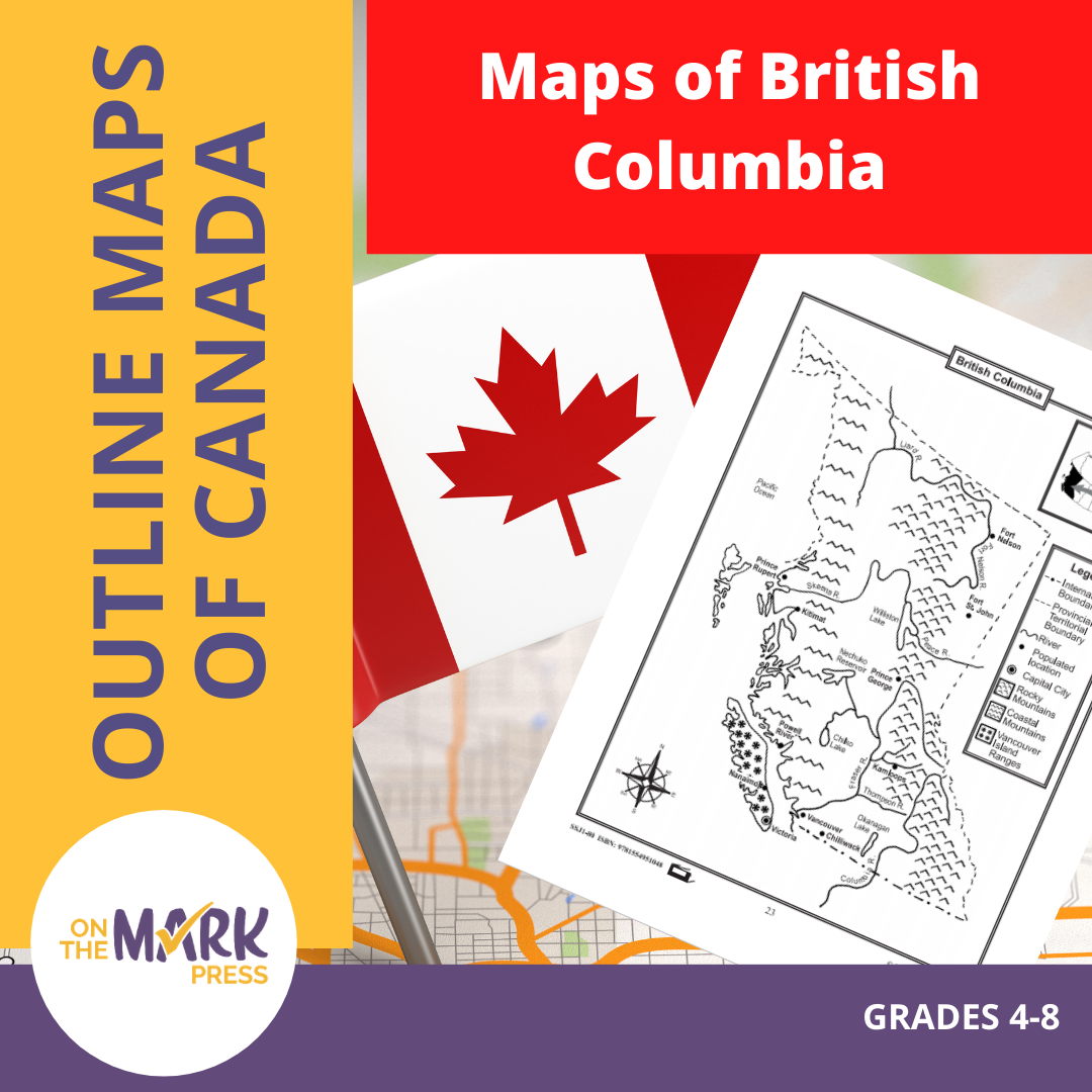


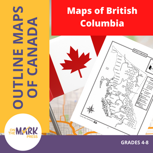
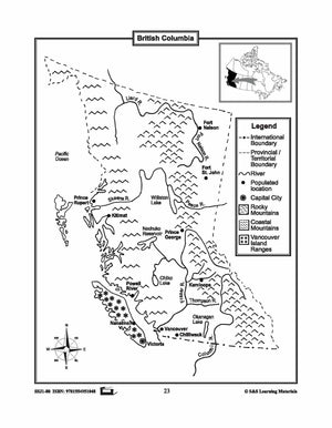
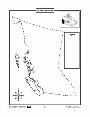
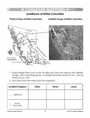
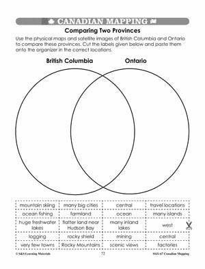
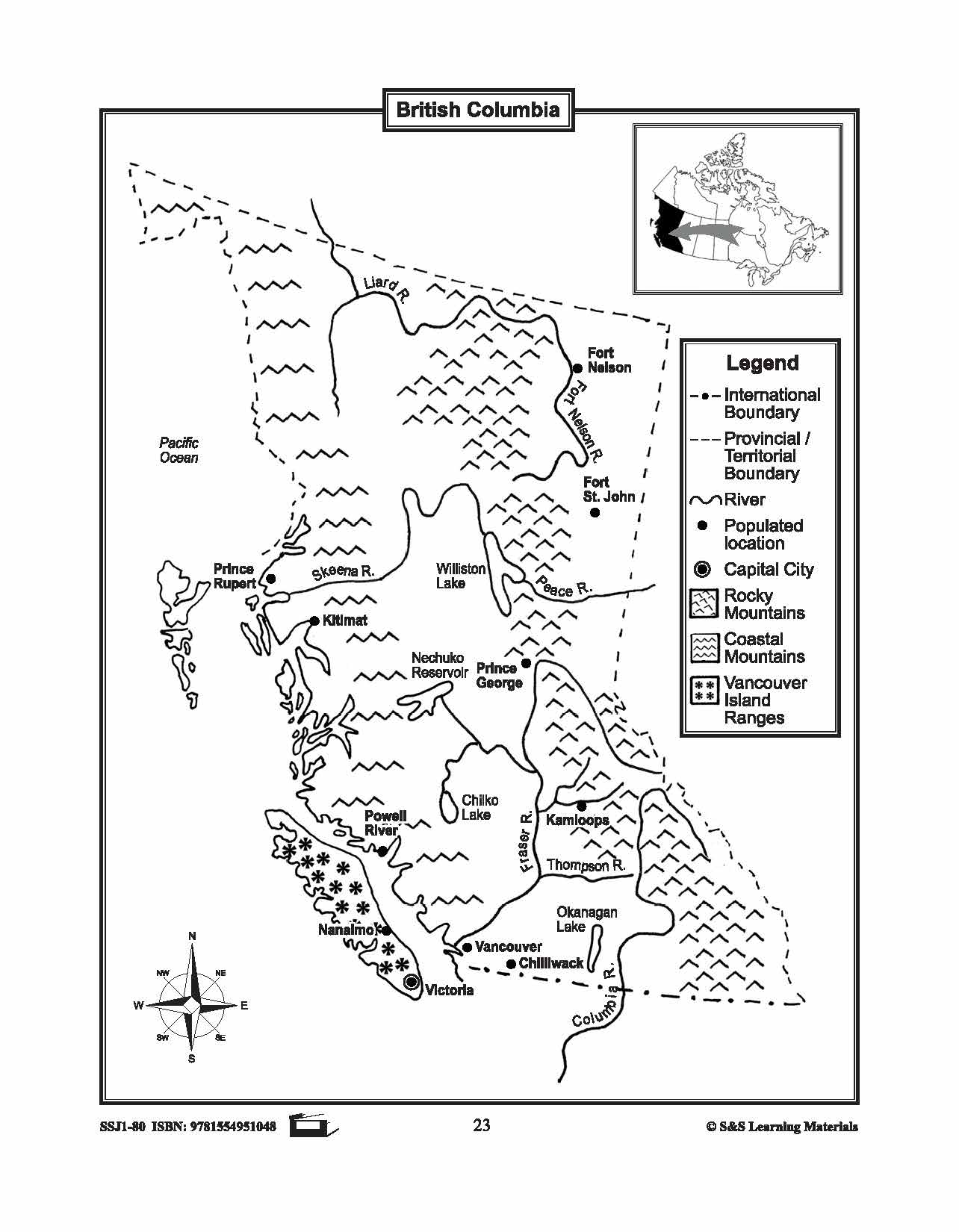
Maps of British Columbia Grades 4-8
$3.45 CAD
The maps will help students learn about British Columbia and its international and provincial/territorial boundary, rivers, landforms, the capital city, and other cities. 2 pages

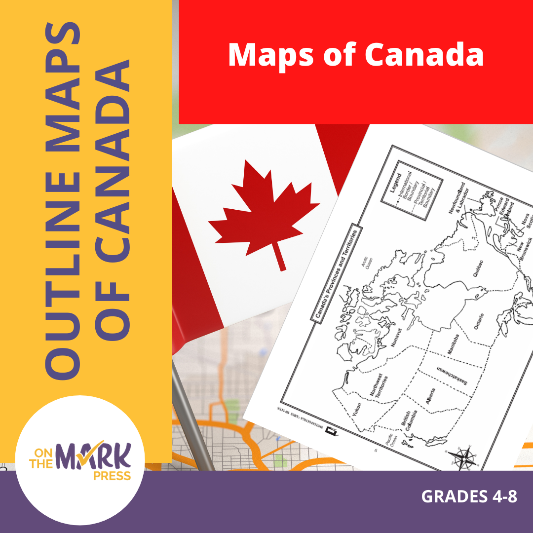

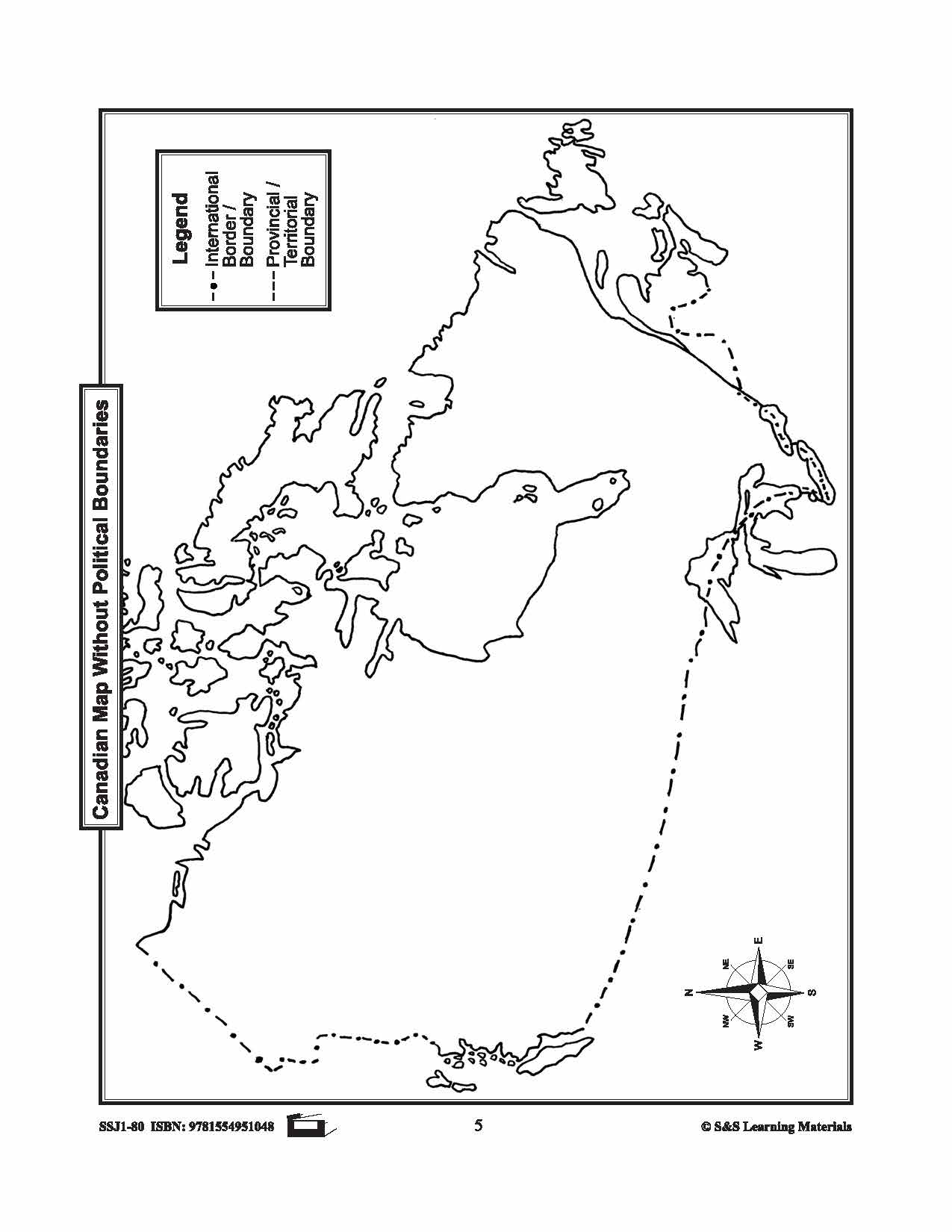

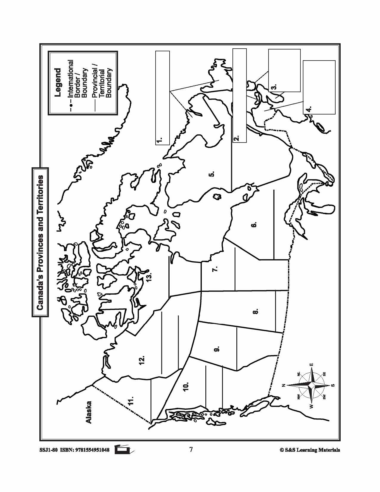

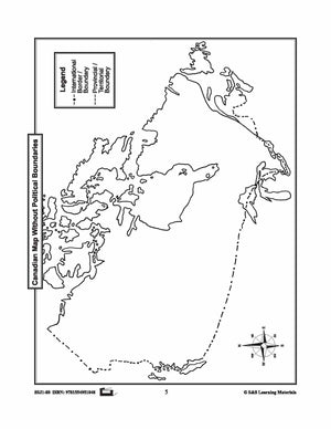
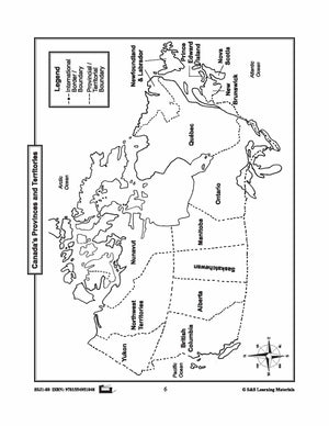


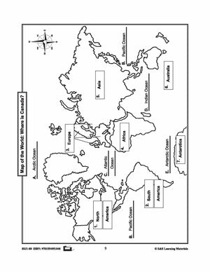


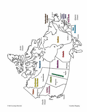
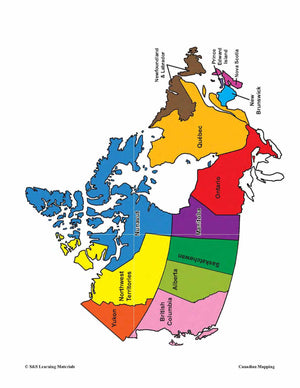
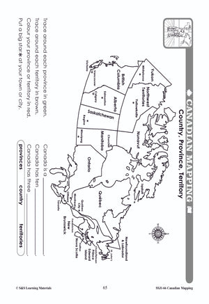
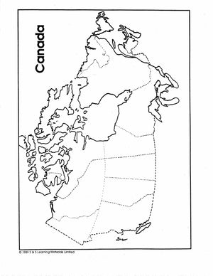
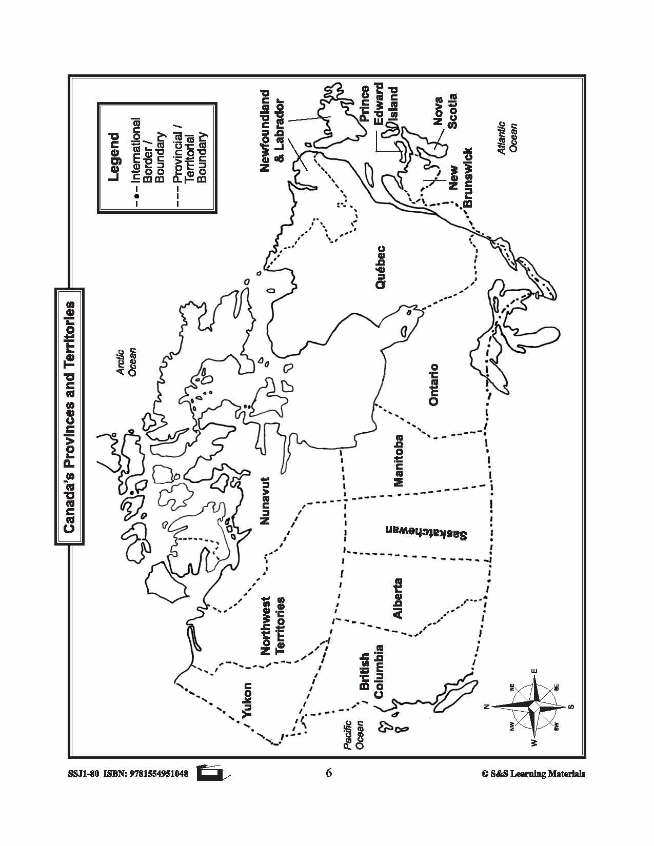
Maps of Canada Grades 4-8
$6.95 CAD
The maps can be used to teach or review the use of directions on a compass rose, symbols on a legend, and mapping terms such as border, boundary, and hemisphere. They will help students: recognize the shape of Canada locate...


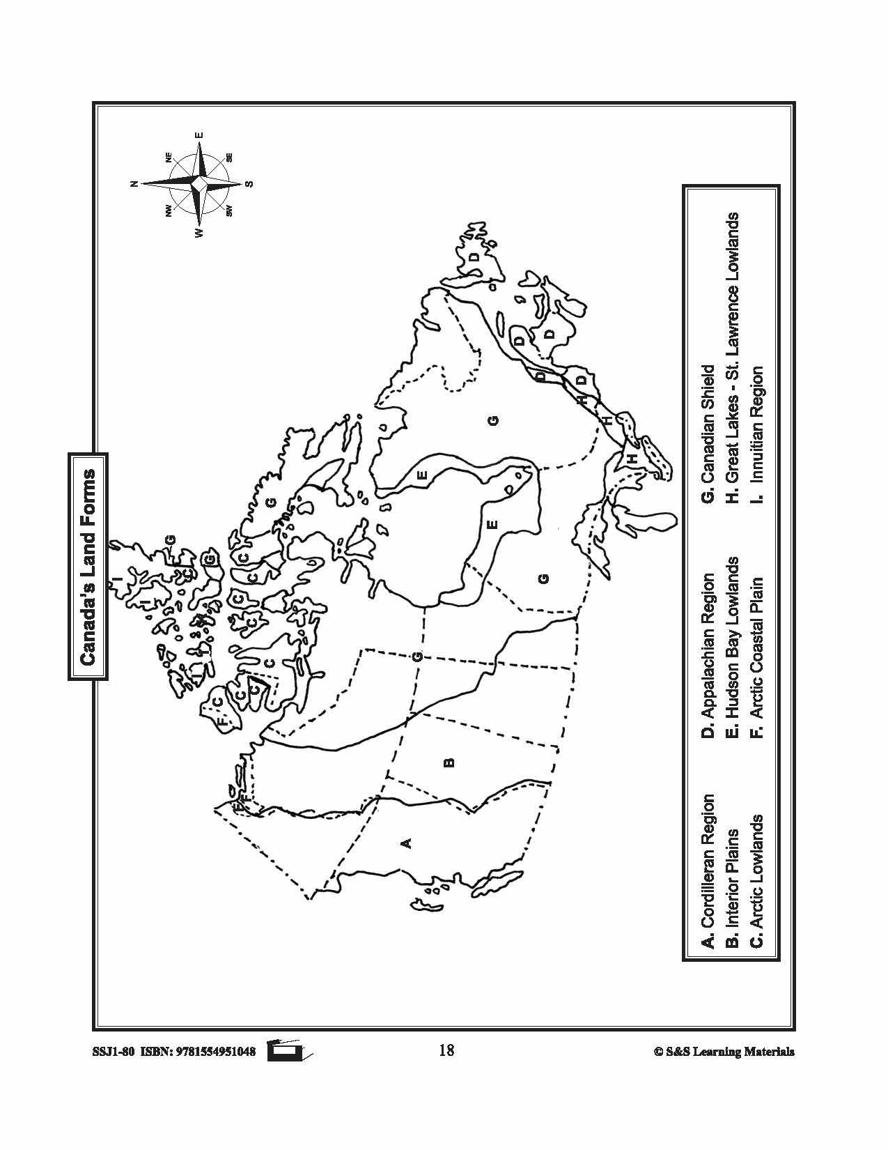
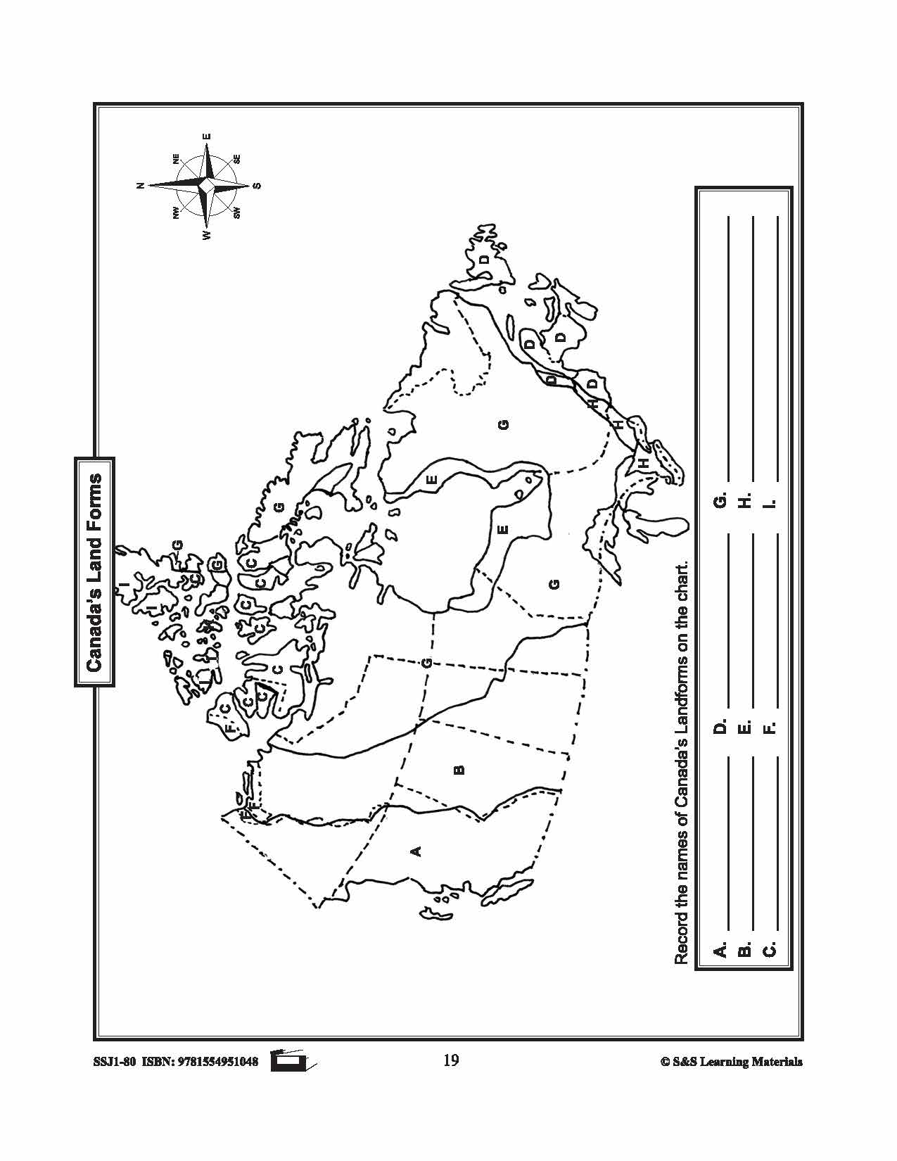

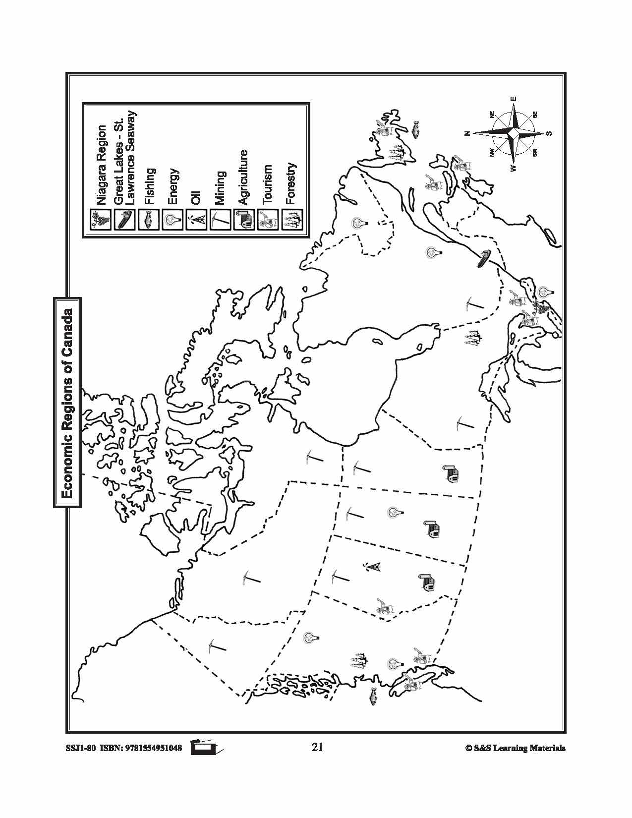
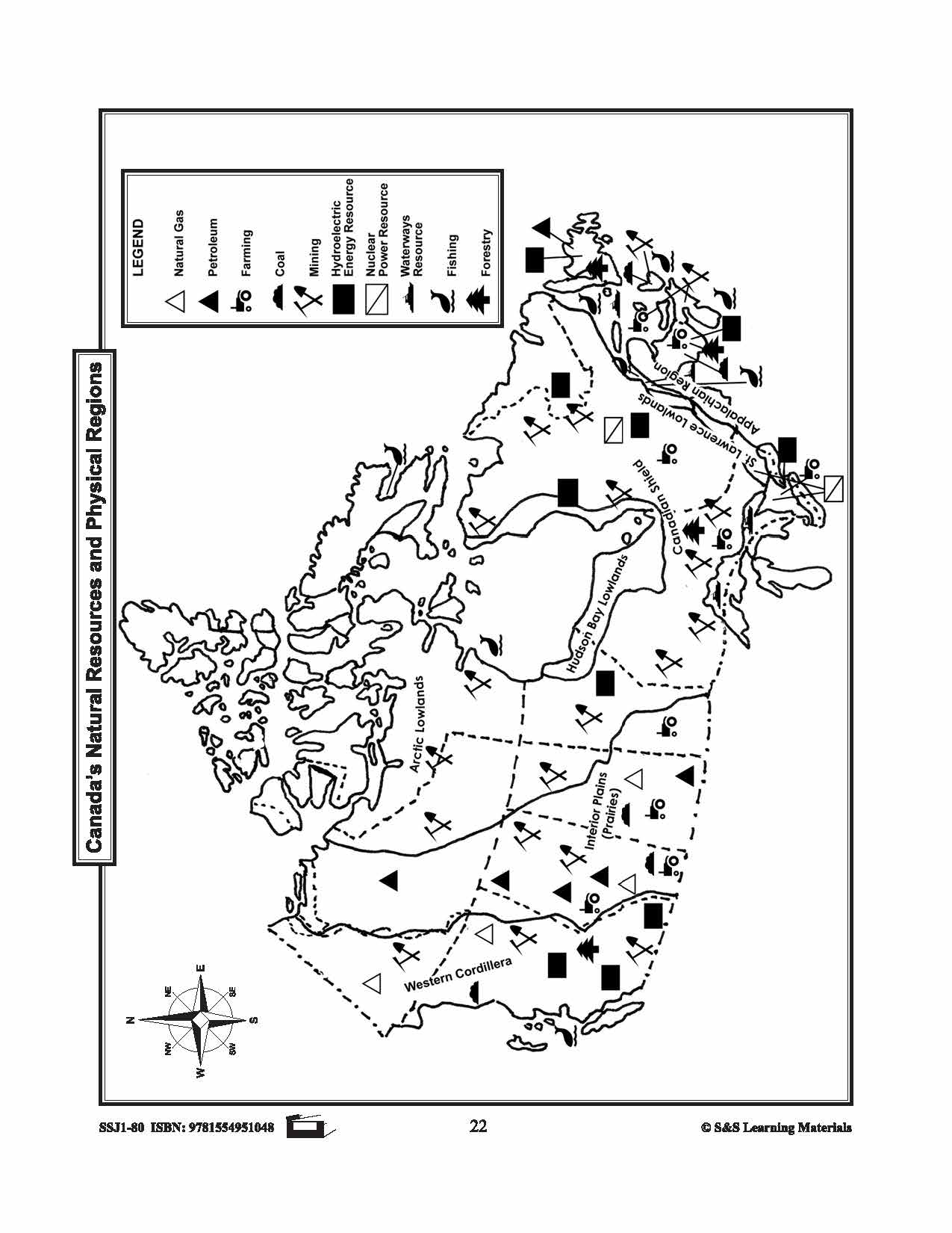
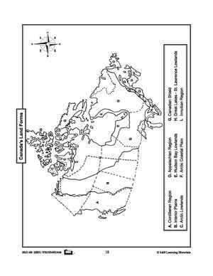


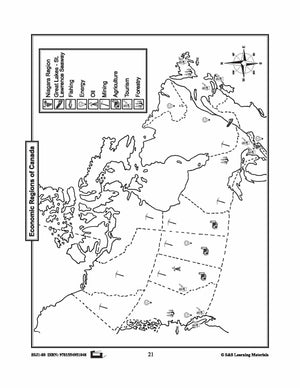
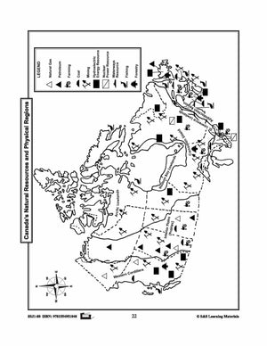
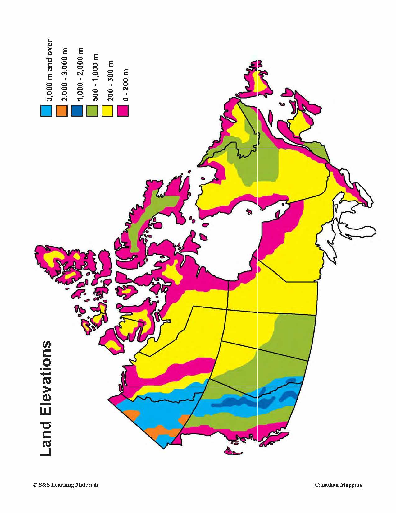
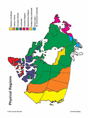
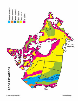
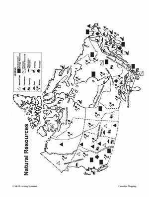
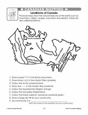
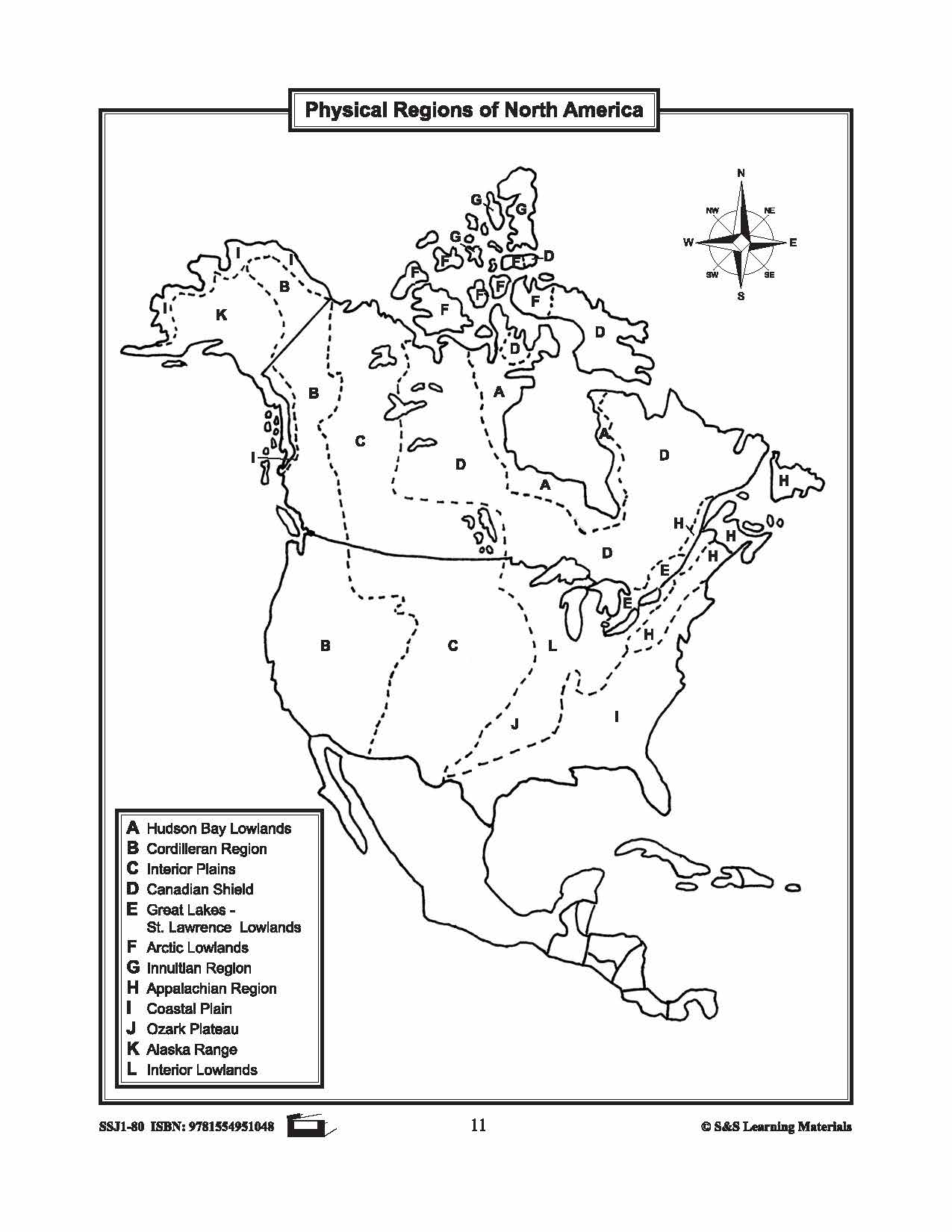
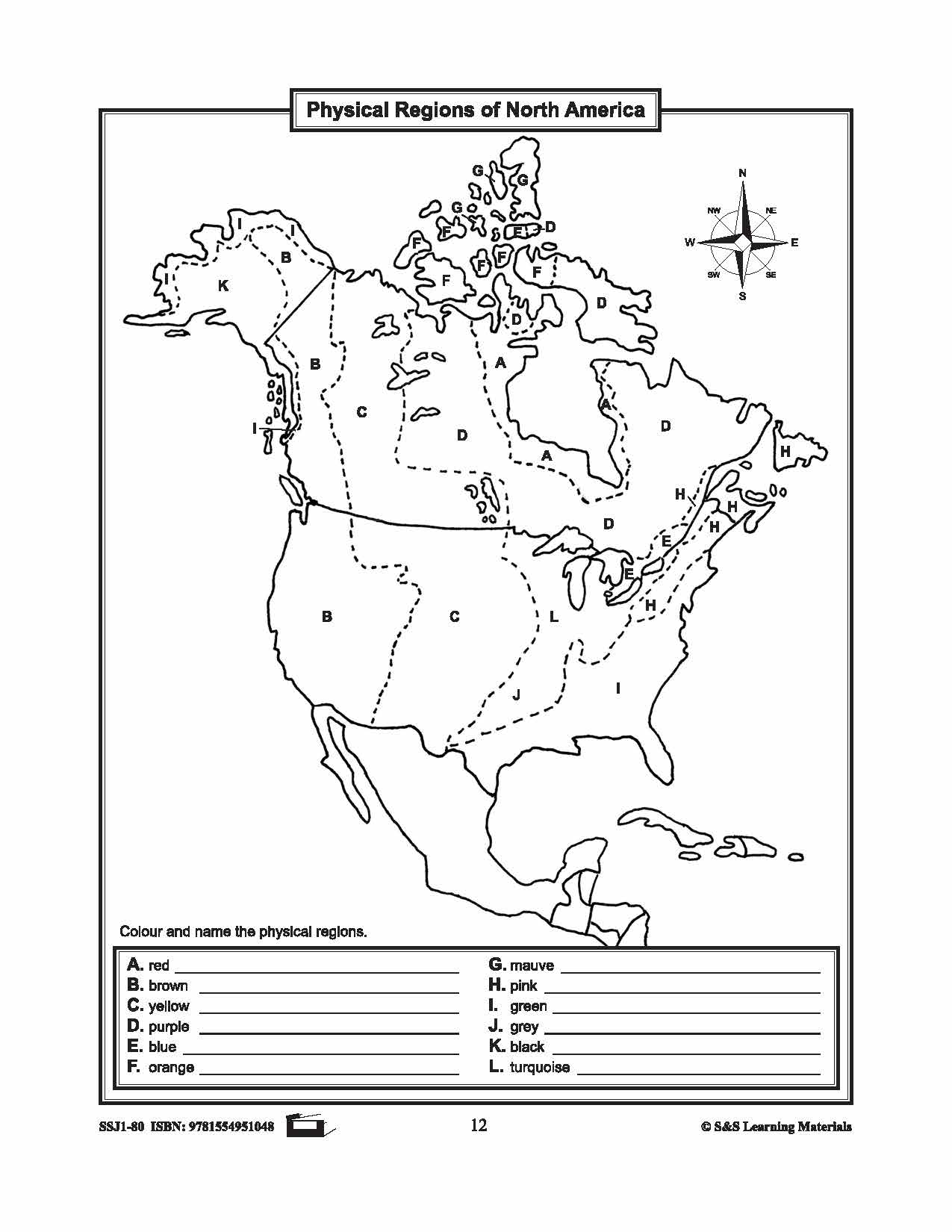
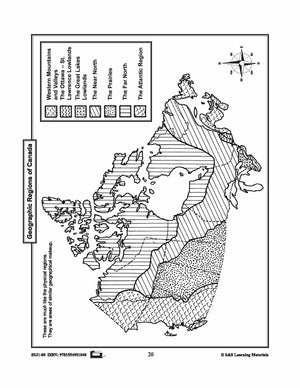
Maps of Canada's Landforms, Regions & Resources Grades 4-8
$5.45 CAD
The maps will help students learn about Canada's landforms, geographic regions of Canada, economic regions, natural resources, and physical regions of Canada. 6 pages
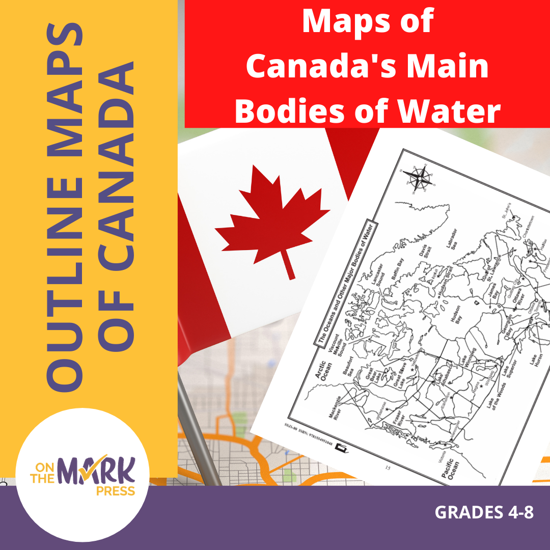


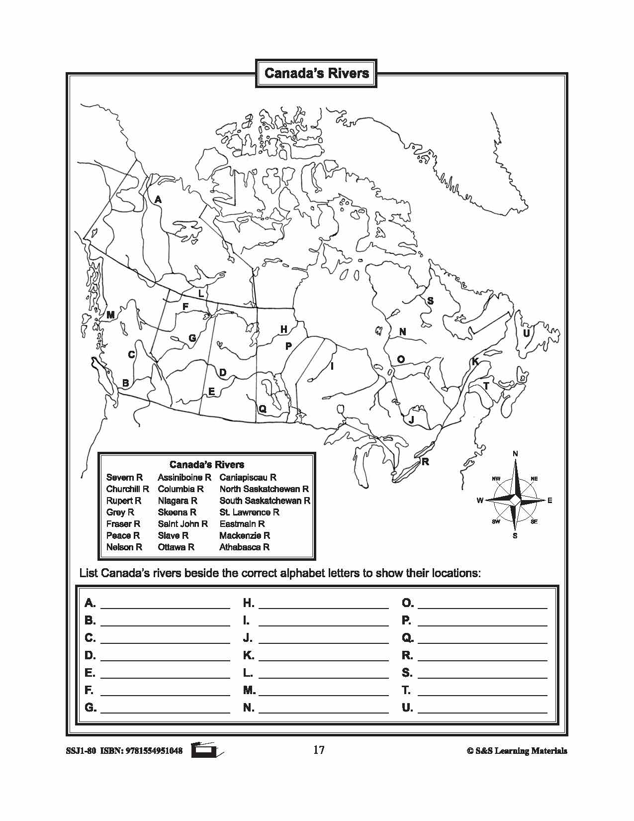
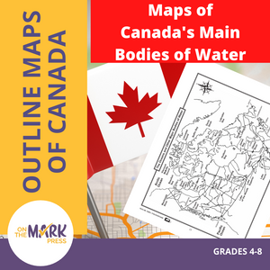
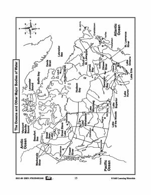


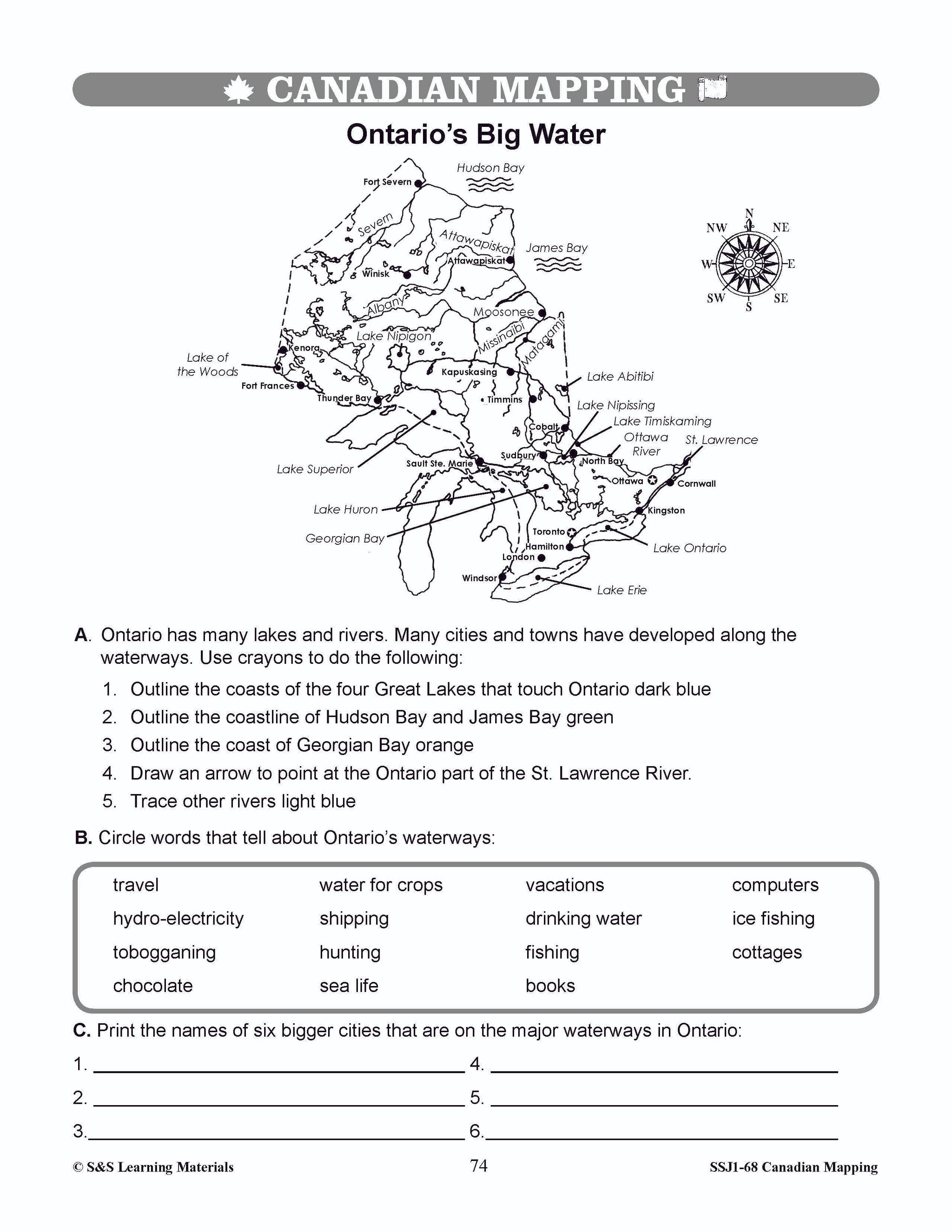
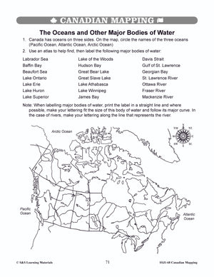
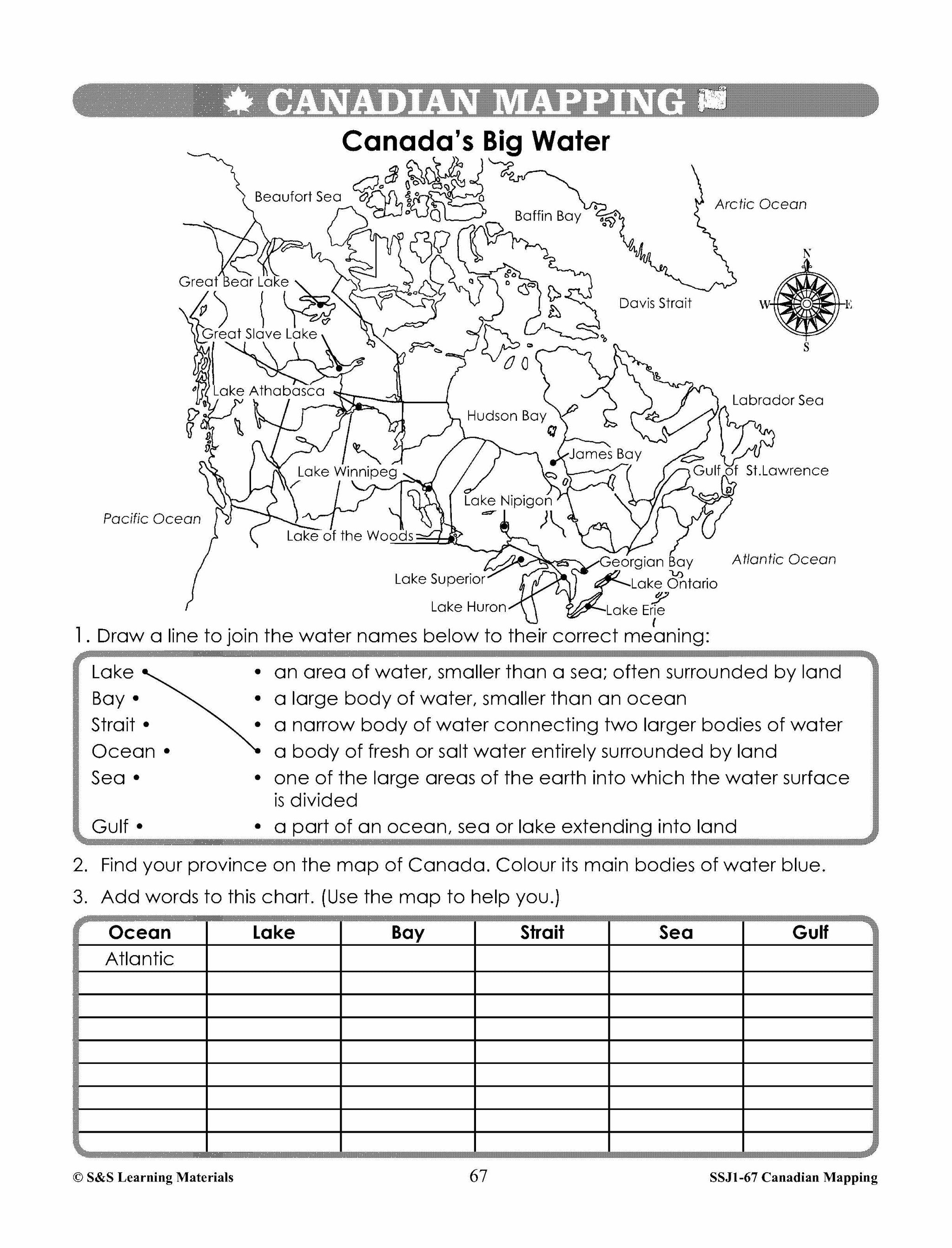
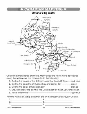
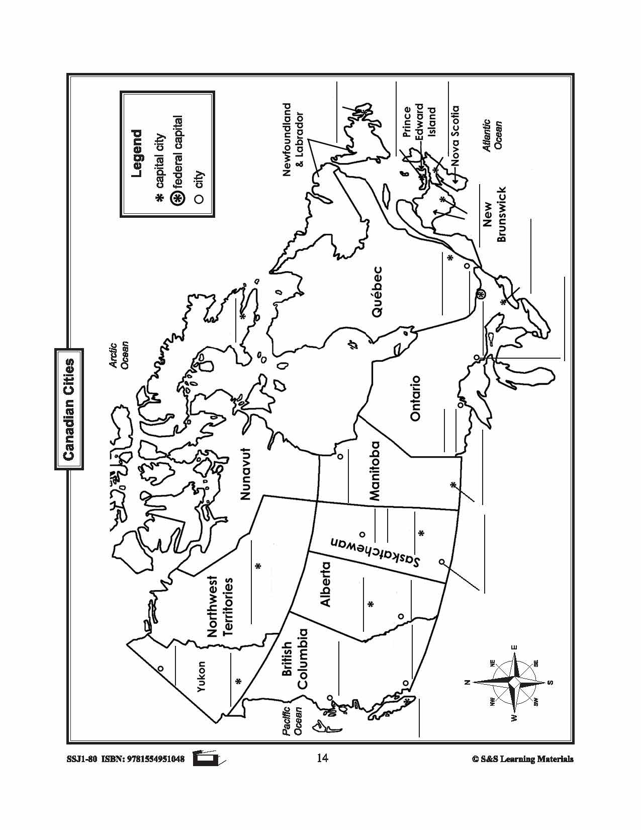
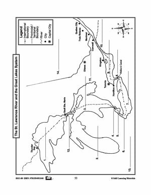
Maps of Canada's Main Bodies of Water Grades 4-8
$4.45 CAD
The maps will help students to recognize and locate Canada's main bodies of water, and discover rivers and lakes in each province or territory. 4 Pages


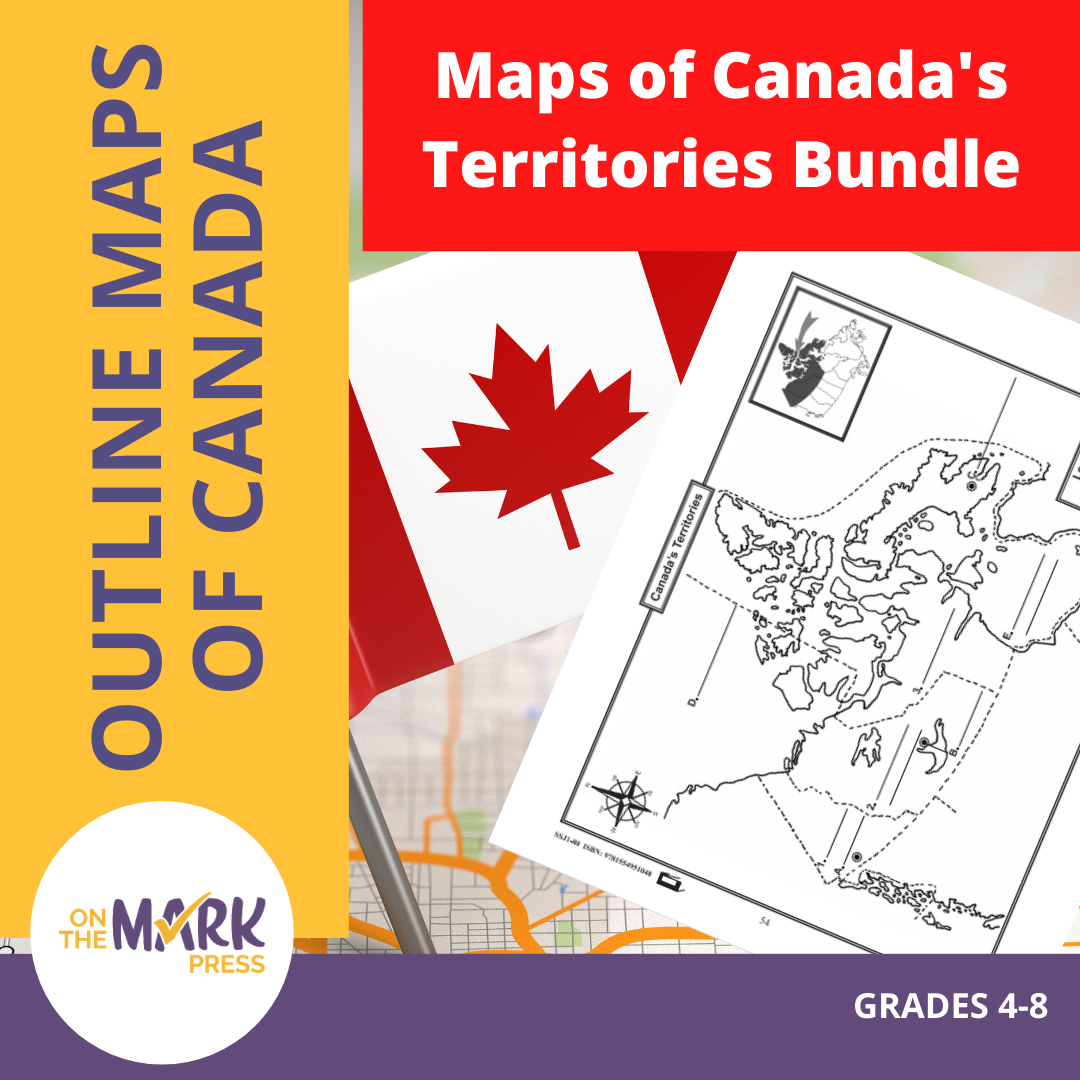


Maps of Canada's Territories $avings Bundle! Grades 4-8
$6.45 CAD
These resources help students learn about the Territories: Yukon, Northwest Territories, and Nunavut.They learn about their international and provincial/territorial boundary, rivers, landforms, capital cities, and other cities. 6 pages Subscribe to our Fan List!: Our FANlist newsletter is full of tips...


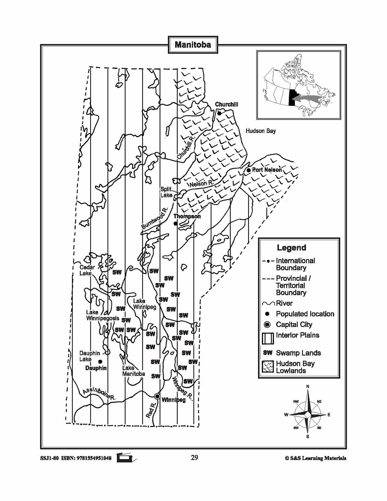


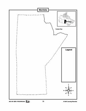
Maps of Manitoba Grades 4-8
$3.45 CAD
The maps will help students learn about Manitoba and its international and provincial/territorial boundary, rivers, landforms, the capital city, and other cities. 2 pages


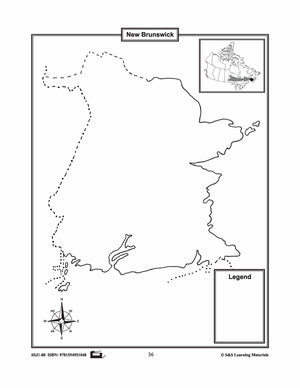
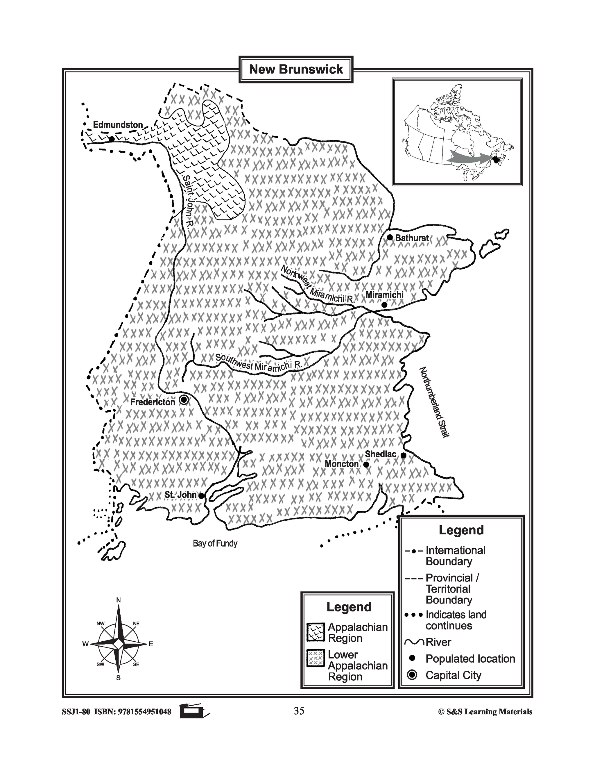
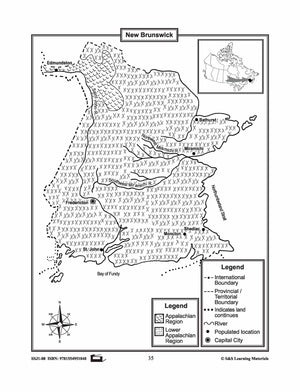
Maps of New Brunswick Grades 4-8
$3.45 CAD
The maps will help students learn about New Brunswick and its international and provincial/territorial boundary, rivers, landforms, the capital city, and other cities. 2 pages

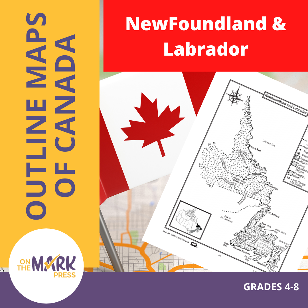


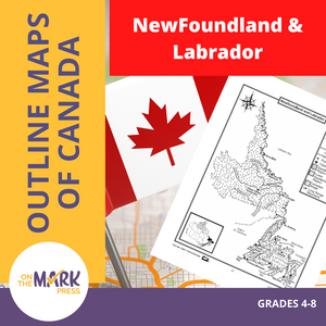
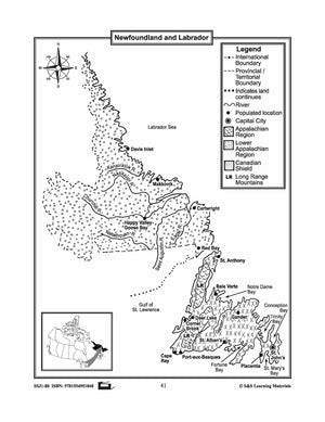
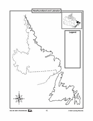
Maps of Newfoundland & Labrador Grades 4-8
$3.45 CAD
The maps will help students learn about Newfoundland and Labrador and provincial/territorial boundary, rivers, landforms, the capital city, and other cities. 2 pages


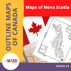
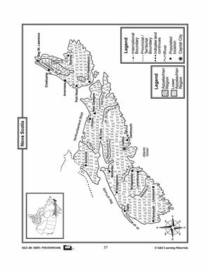

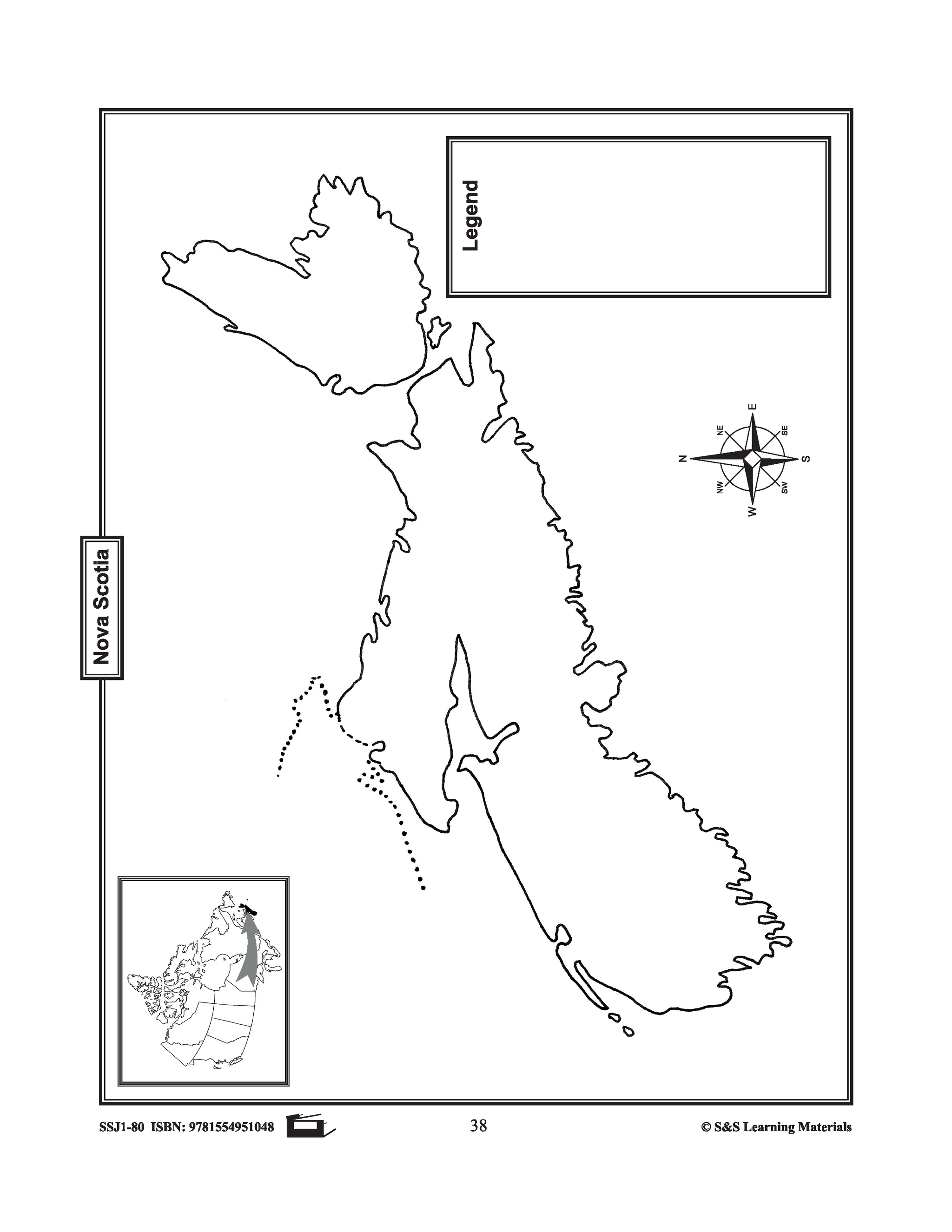
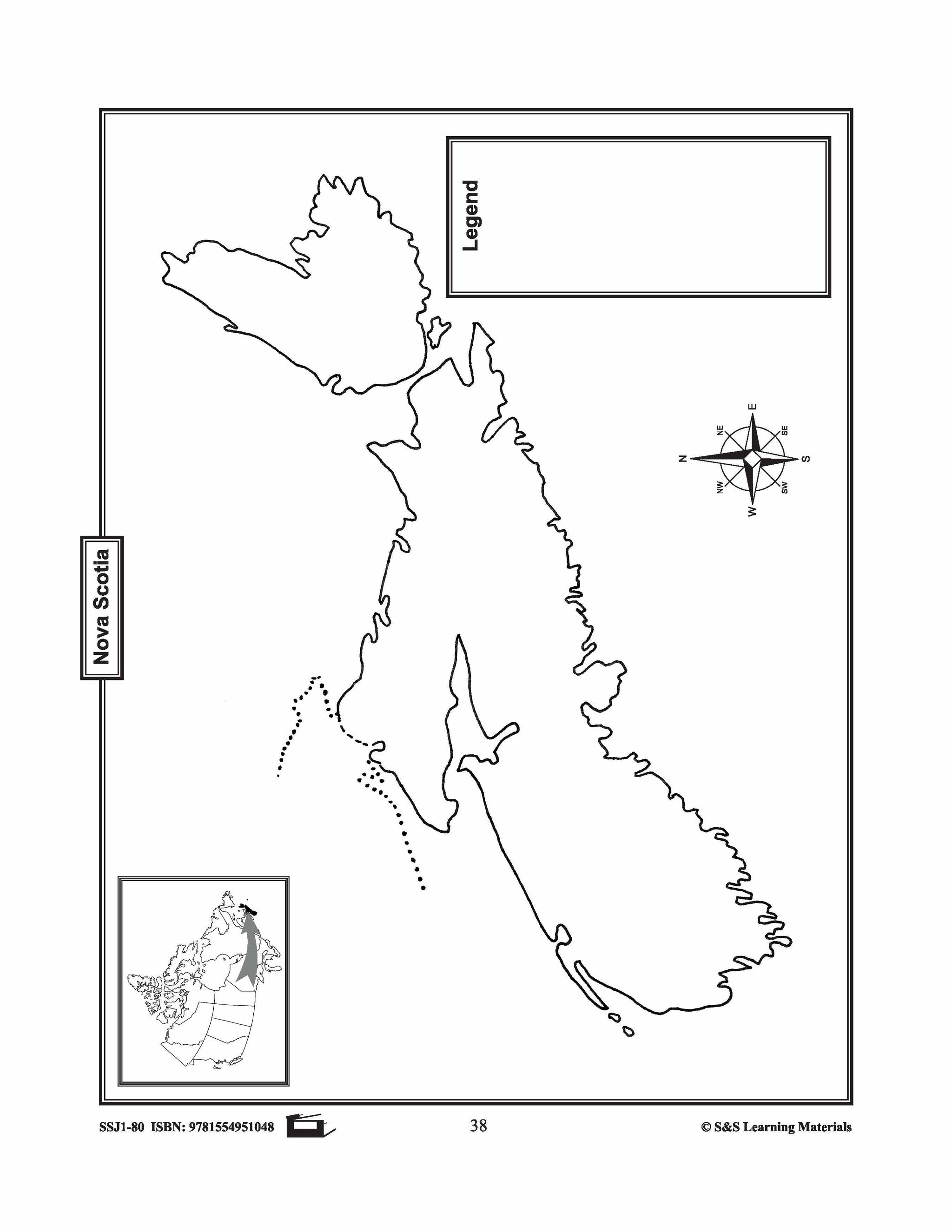
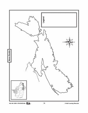
Maps of Nova Scotia Grades 4-8
$3.45 CAD
The maps will help students learn about Nova Scotia and its international and provincial/territorial boundary, rivers, landforms, the capital city, and other cities. 2 pages


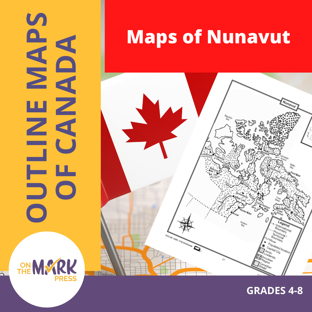

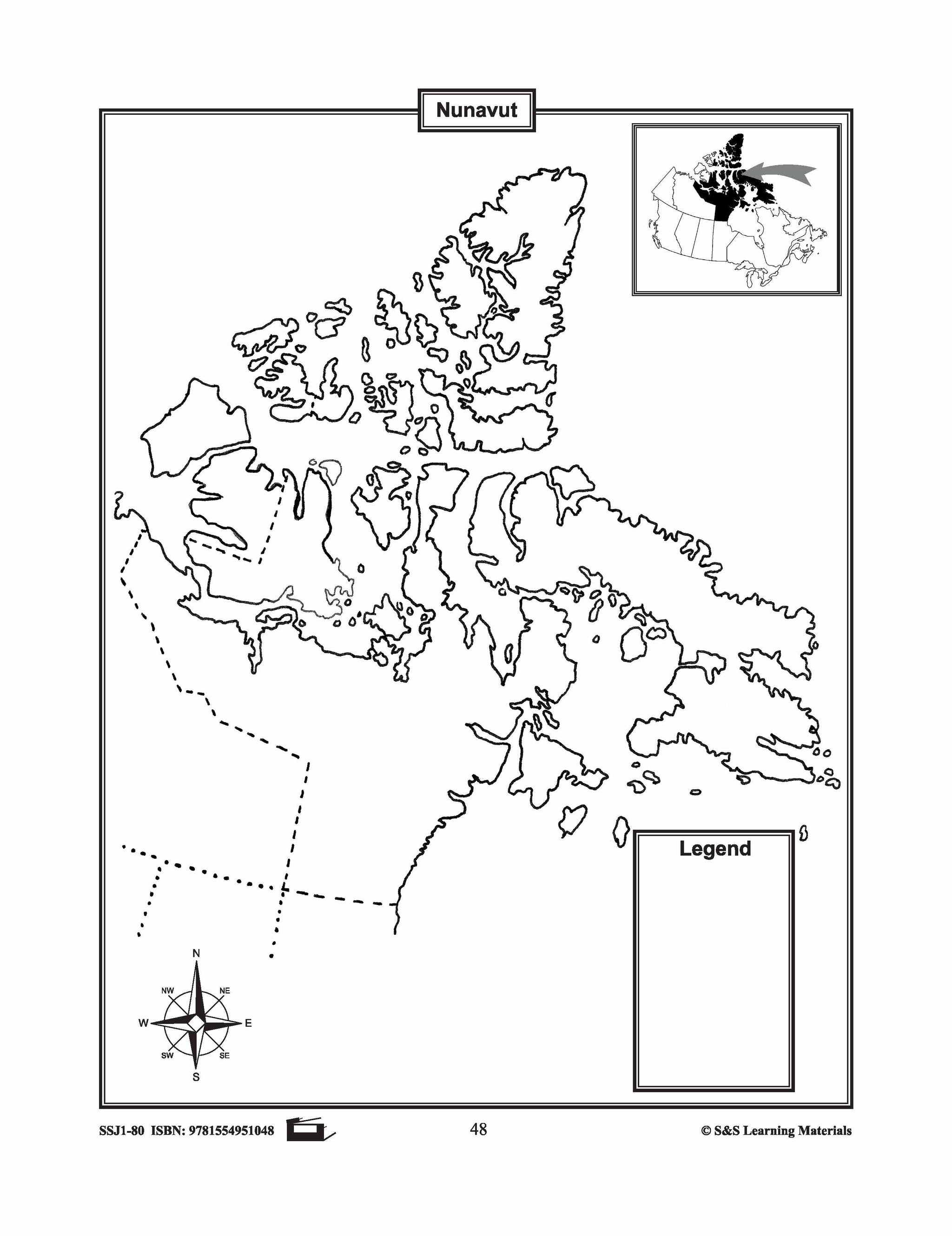

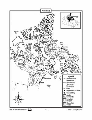
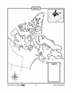
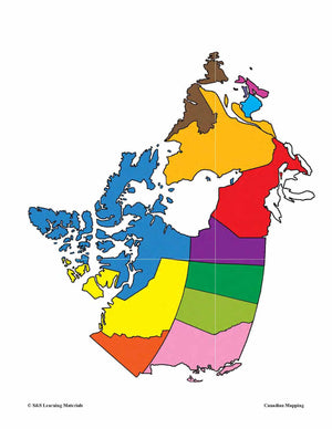
Maps of Nunavut Grades 4-8
$3.45 CAD
The maps will help students learn about Nunavut and its provincial/territorial boundary, rivers, landforms, the capital city, and other cities. 2 pages


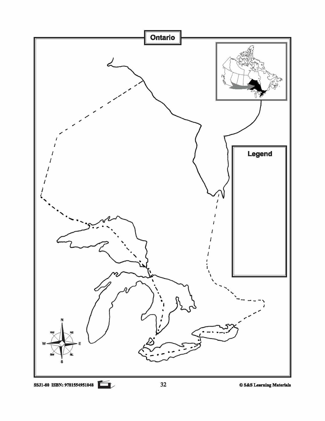

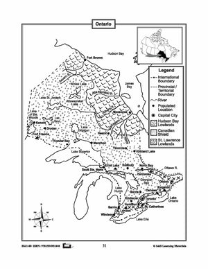
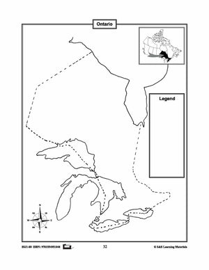
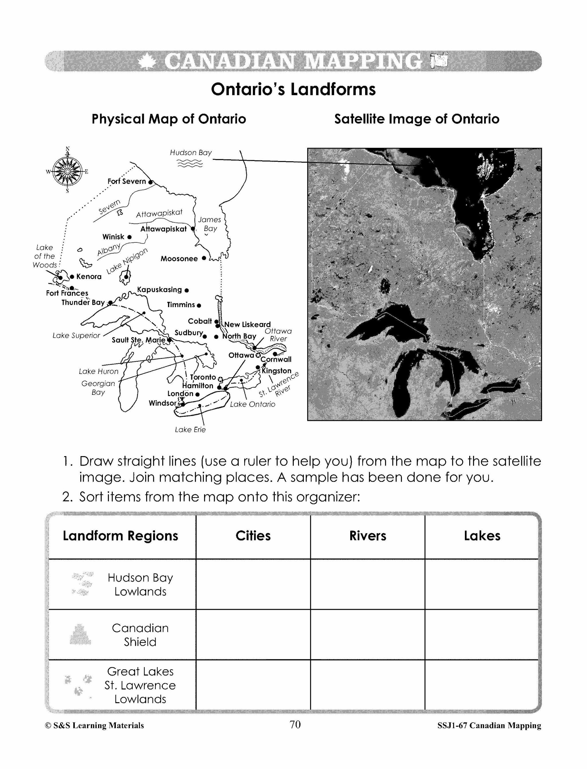
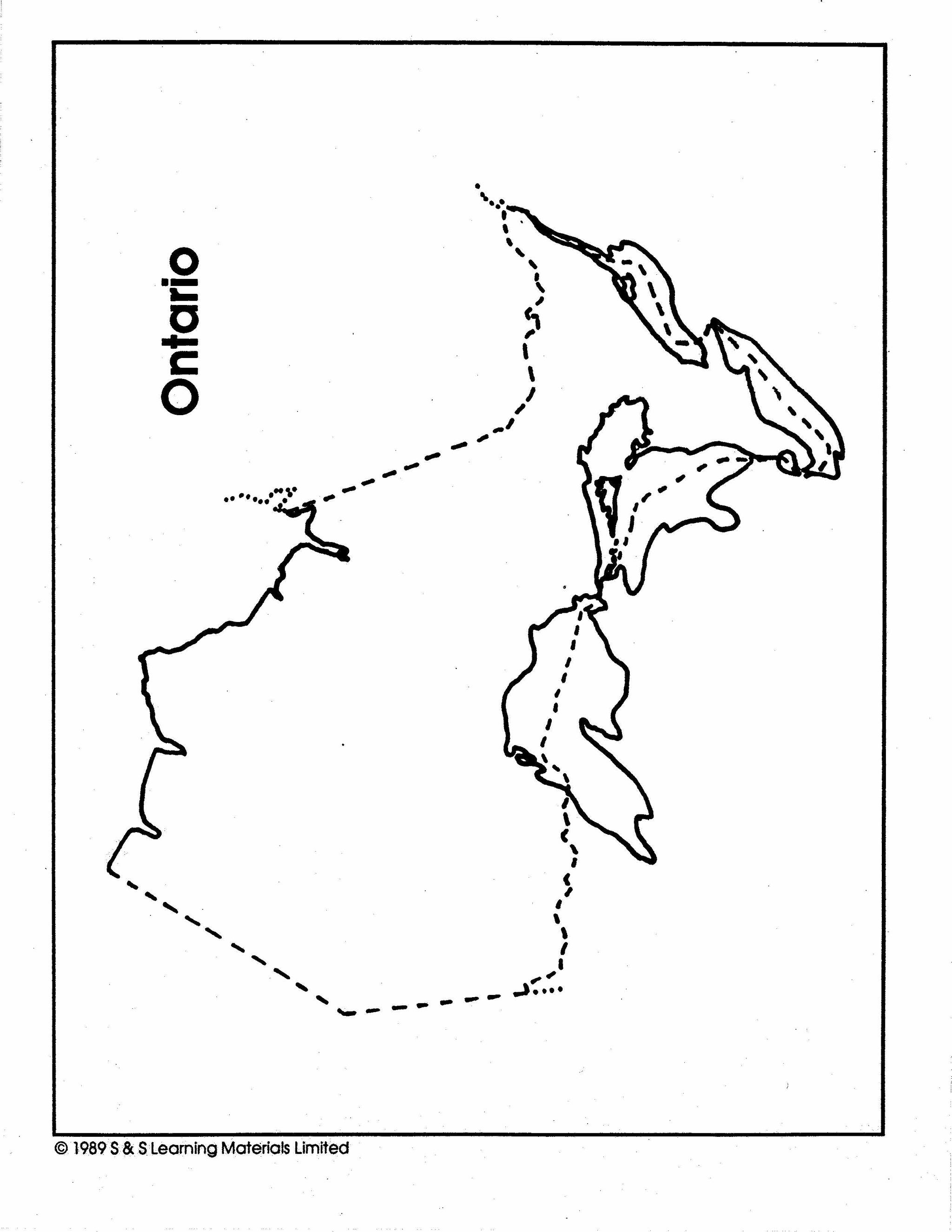
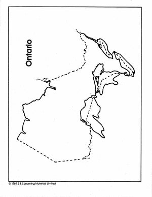
Maps of Ontario Grades 4-8
$3.45 CAD
The maps will help students learn about Ontario and its international and provincial/territorial boundary, rivers, landforms, the capital city, and other cities.


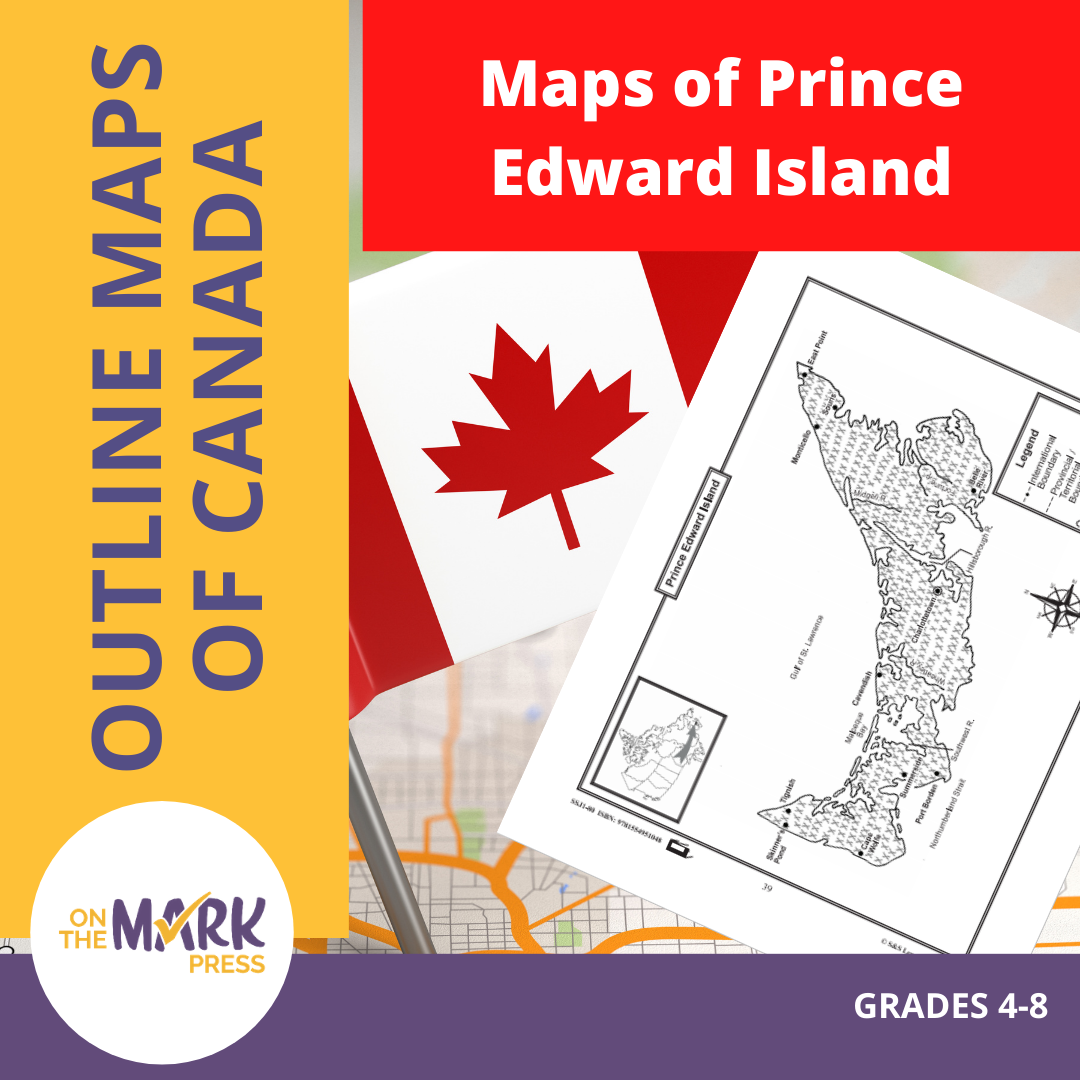


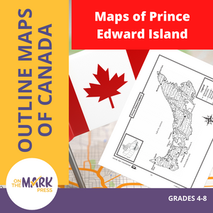
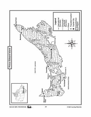
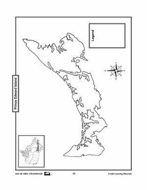
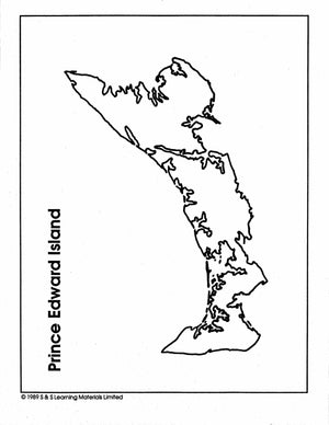
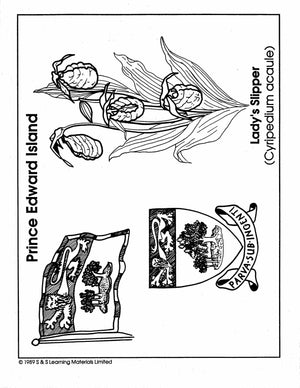
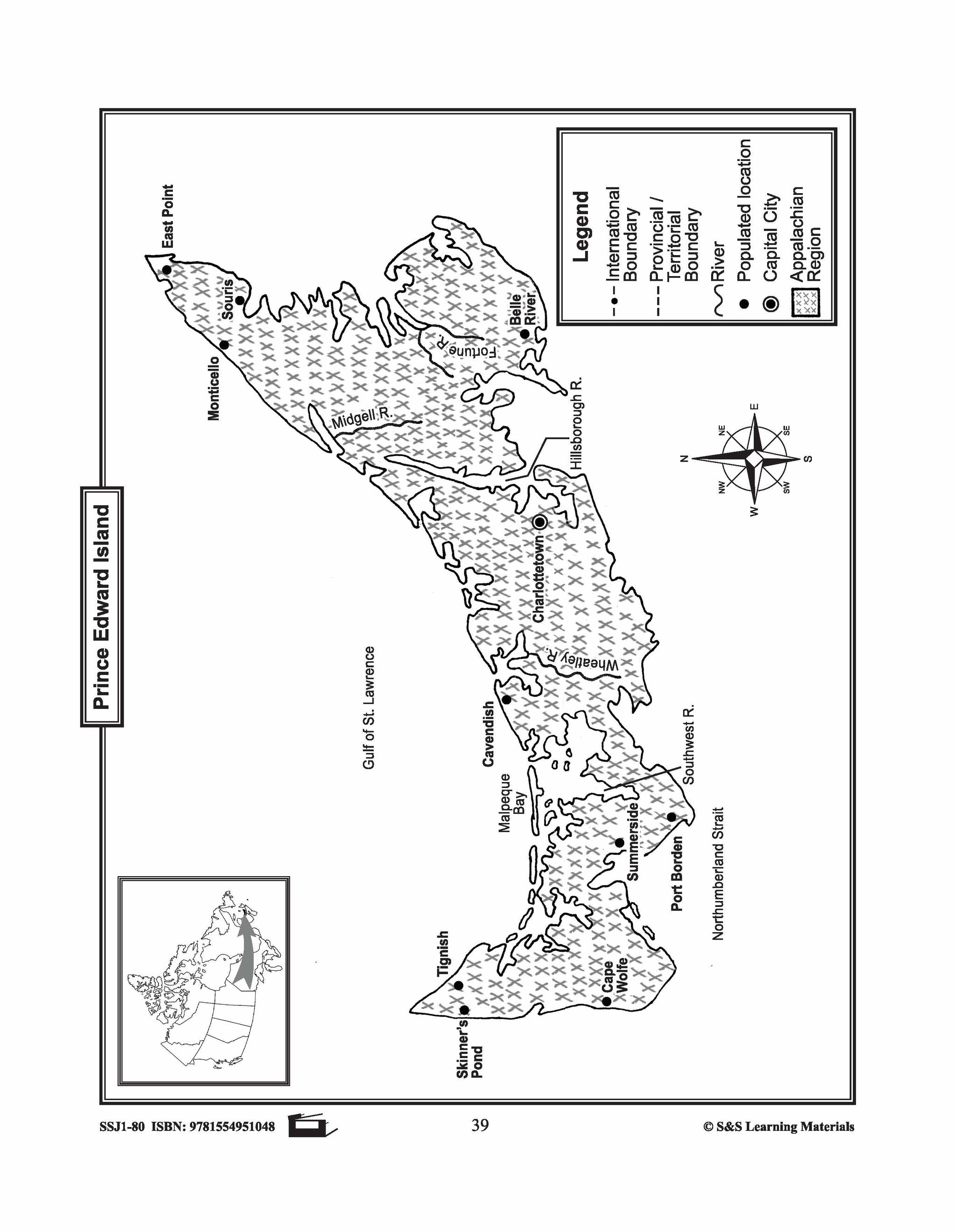
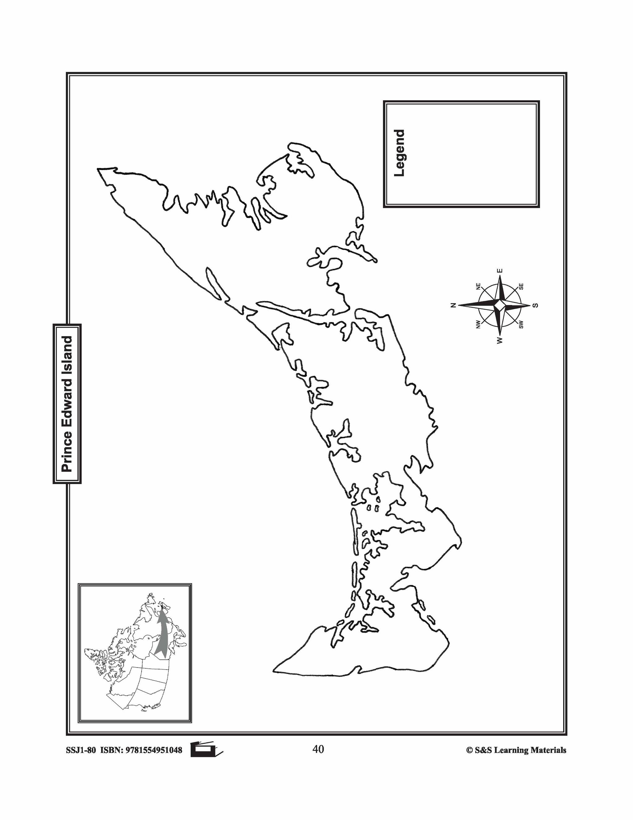
Maps of Prince Edward Island Grades 4-8
$3.45 CAD
The maps will help students learn about Prince Edward Island and its rivers, landforms, the capital city, and other cities. 2 pages

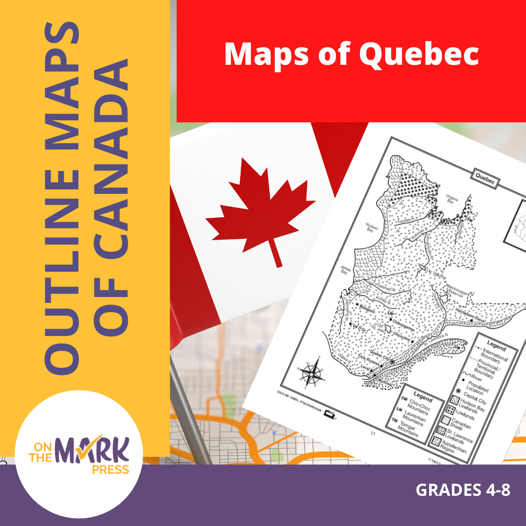

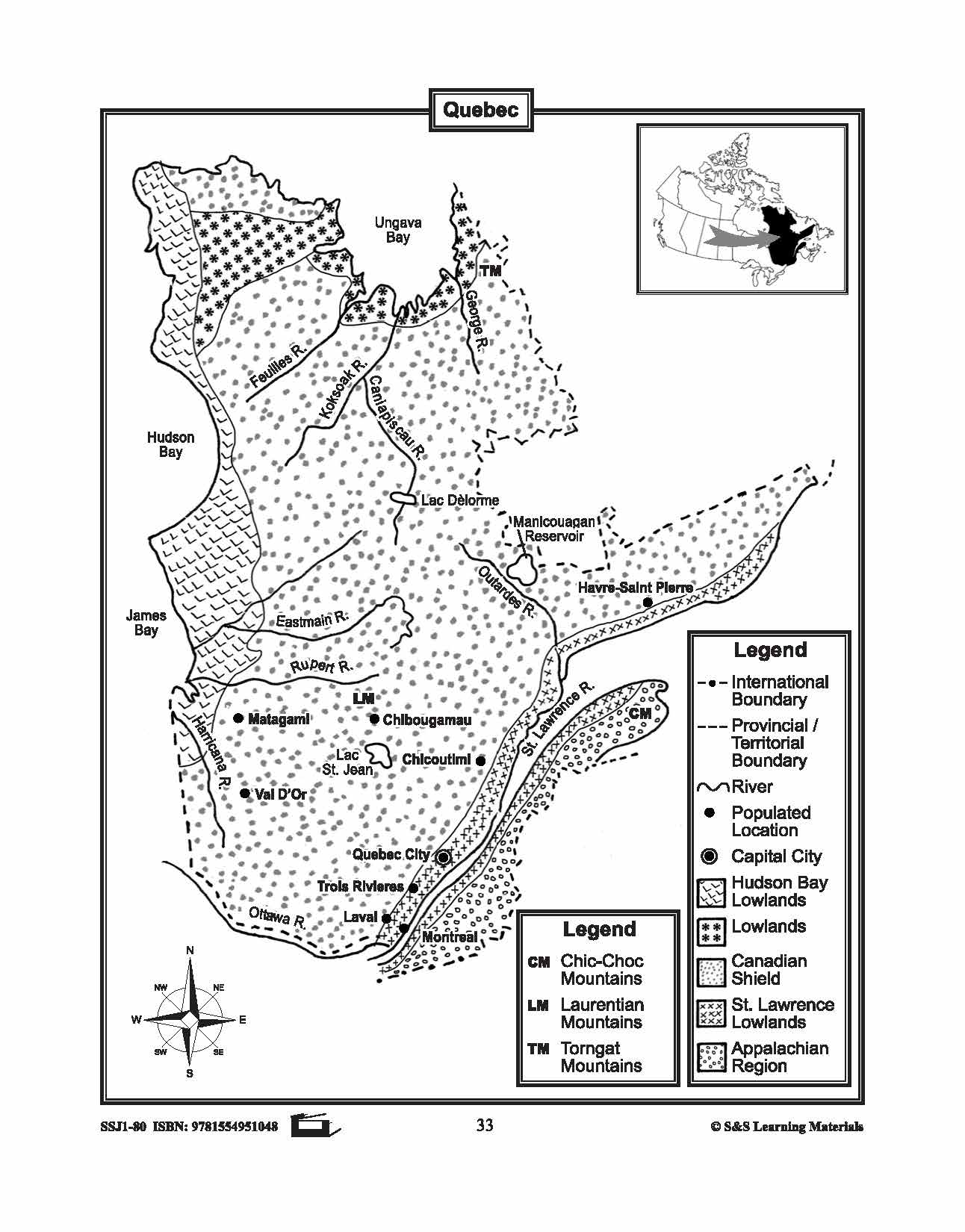


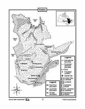
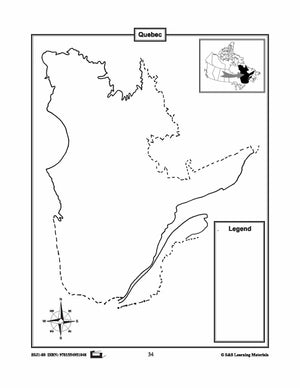
Maps of Quebec Grades 4-8
$3.45 CAD
The maps will help students learn about Quebec and its international and provincial/territorial boundary, rivers, landforms, the capital city, and other cities. 2 pages
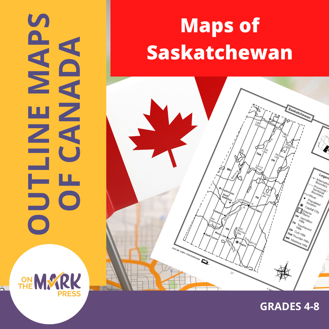


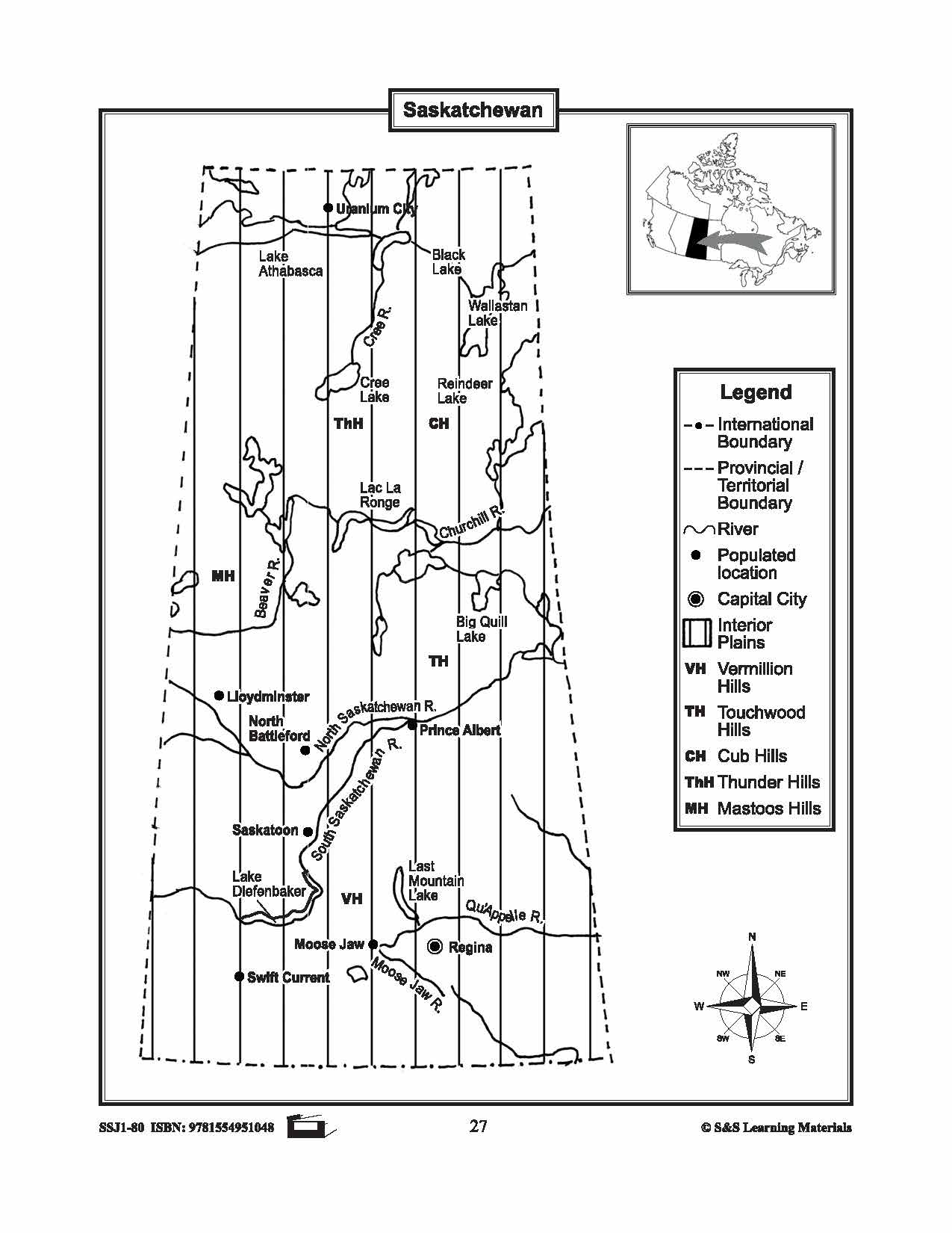


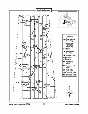
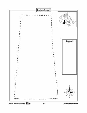
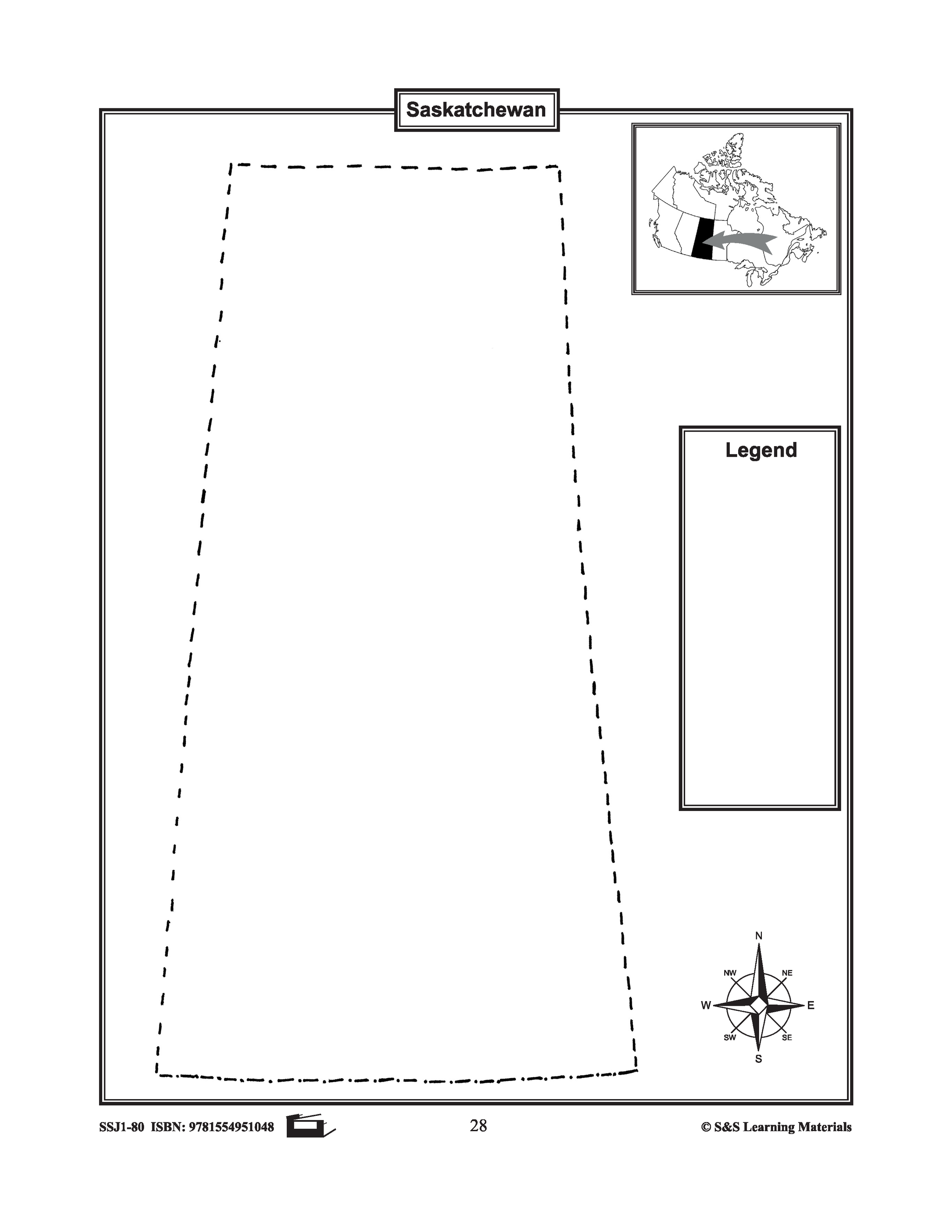
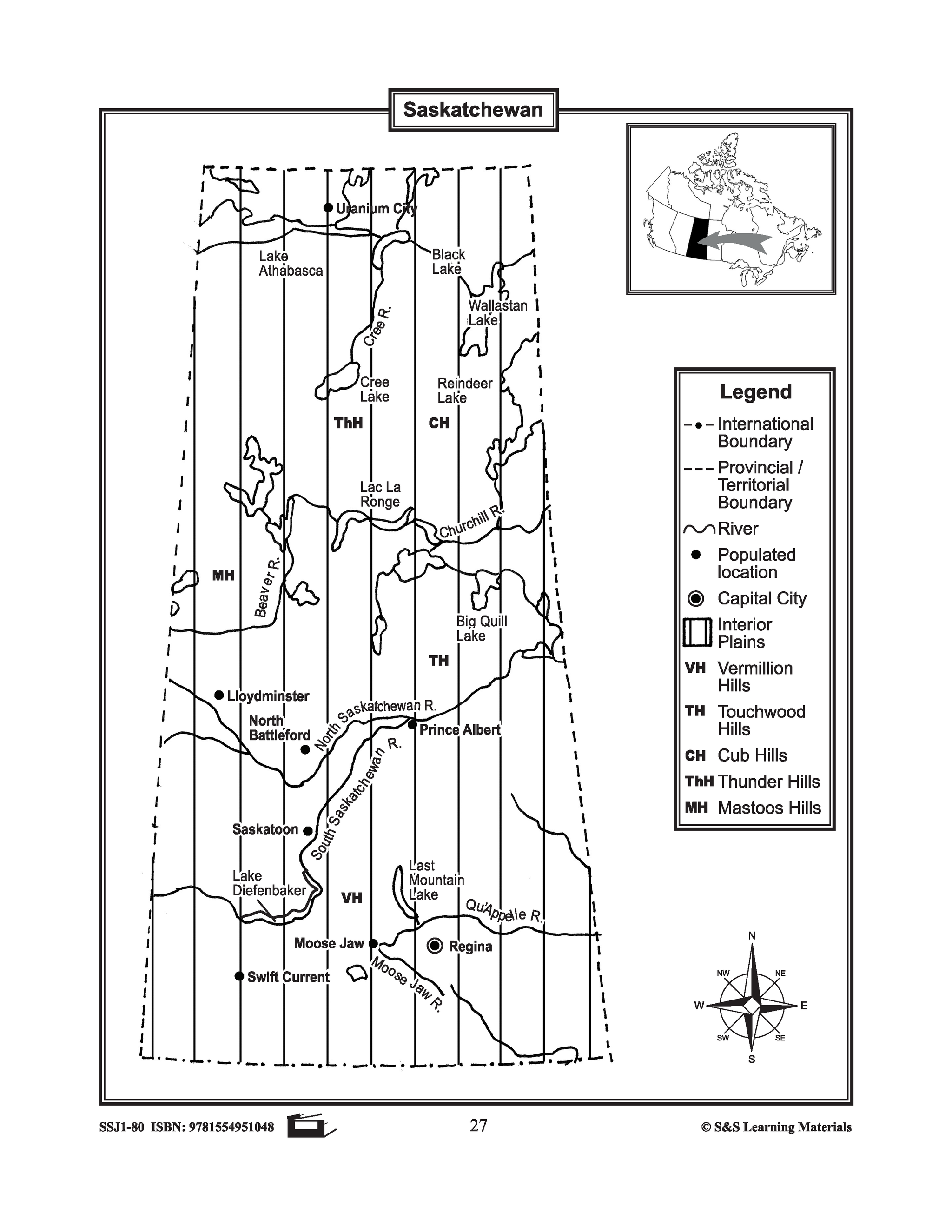
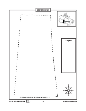
Maps of Saskatchewan Grades 4-8
$3.45 CAD
The maps will help students learn about Saskatchewan and its international and provincial/territorial boundary, rivers, landforms, the capital city, and other cities. 2 pages


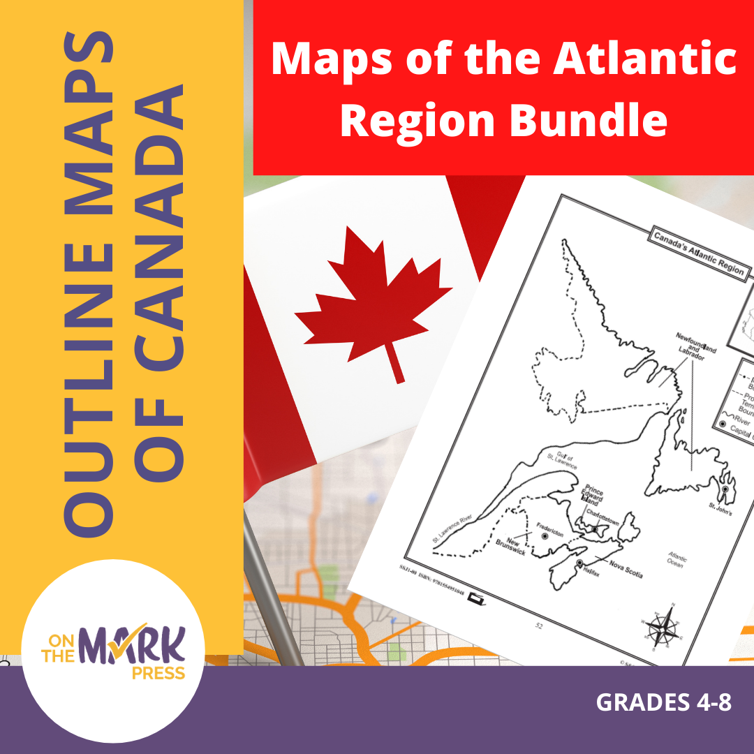


Maps of the Atlantic Region $avings Bundle! Grades 4-8
$3.45 CAD
These resources will help students learn about the Maritime provinces and help them to identify them on the Canadian map along with their capital cities and bordering bodies of water. 6 pages Subscribe to our Fan List!: Our FANlist newsletter is...
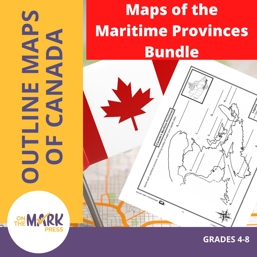


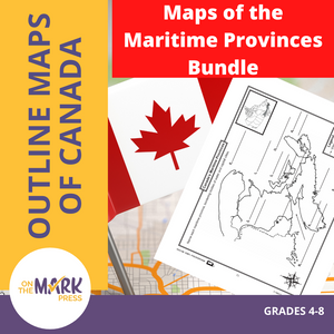


Maps of the Maritime Provinces $avings Bundle! Grades 4-8
$8.45 CAD
The maps will help students learn about the Maritime provinces and their international and provincial/territorial boundary, rivers, landforms, the capital city, and other cities. 6 pages Subscribe to our Fan List!: Our FANlist newsletter is full of tips on ways to save time...


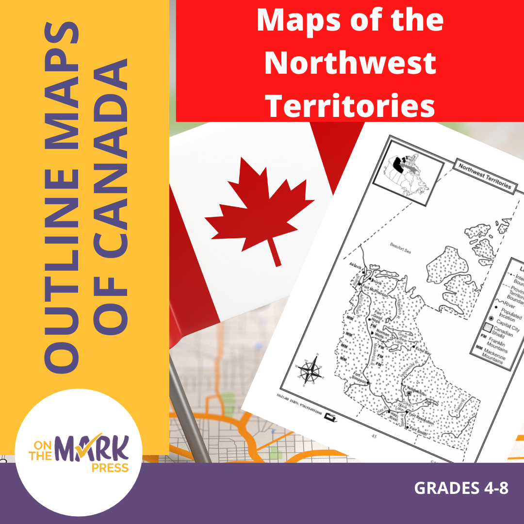


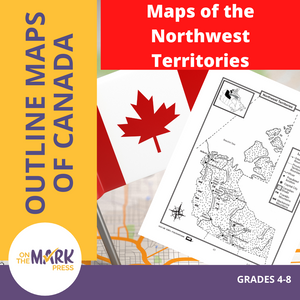


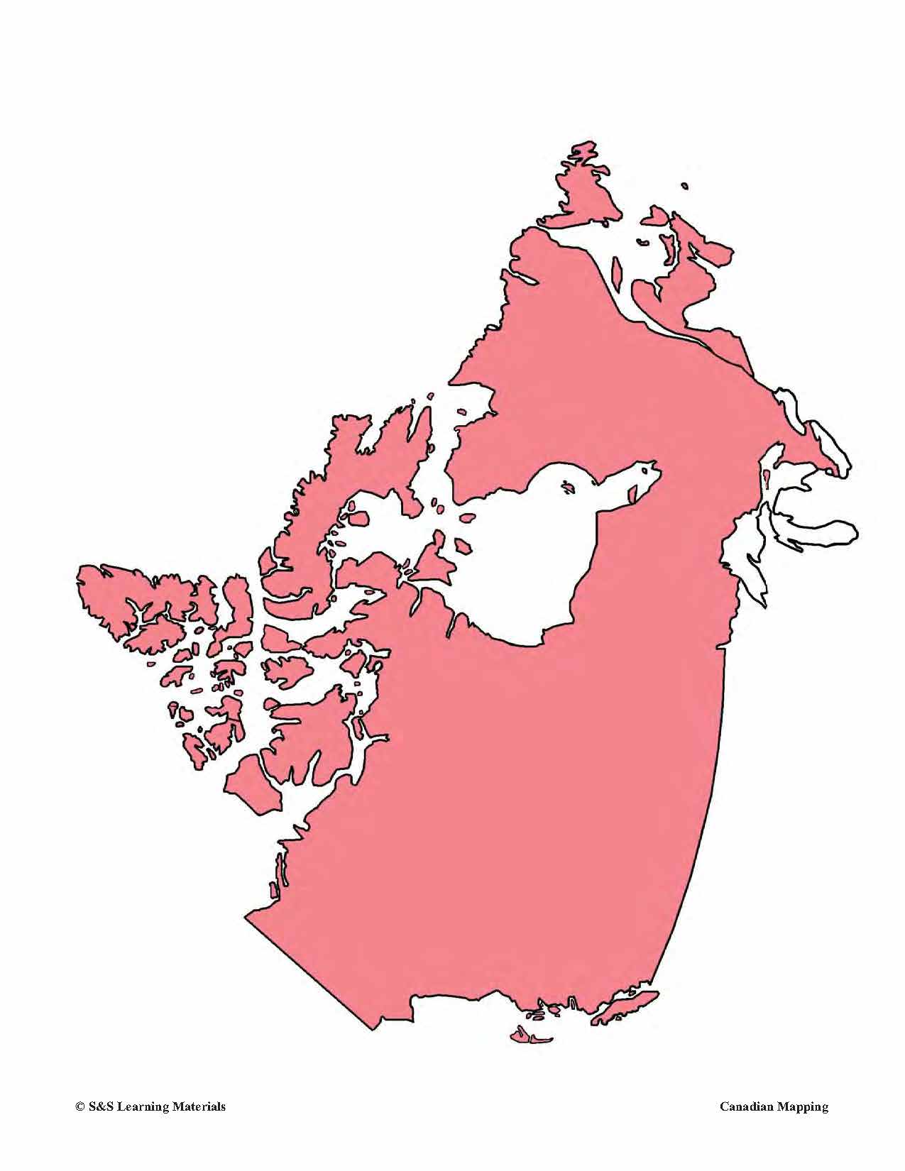
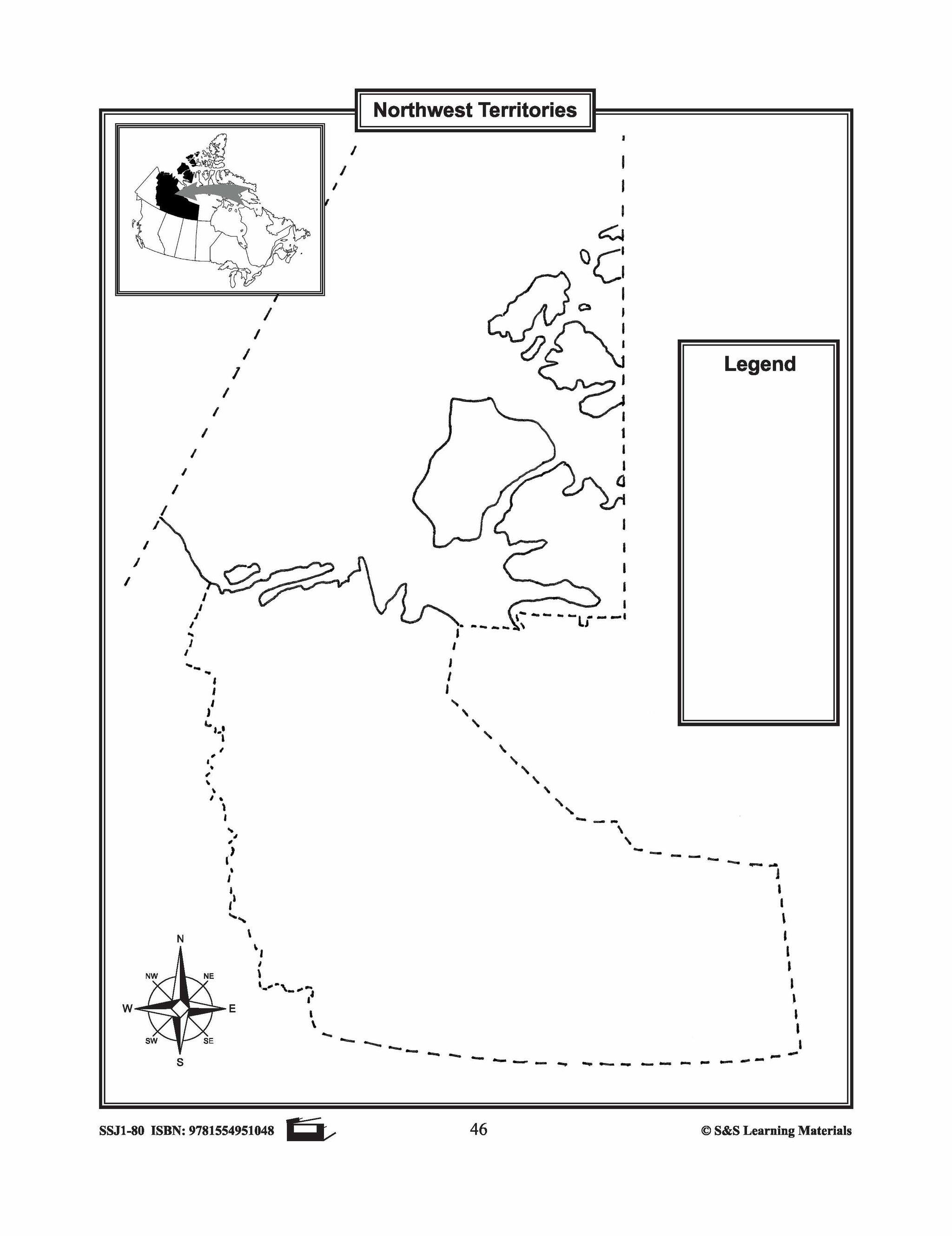
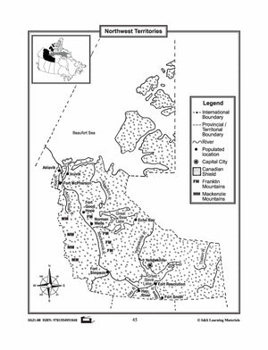
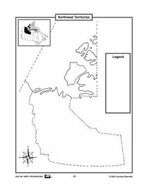
Maps of the Northwest Territories Grades 4-8
$3.45 CAD
The maps will help students learn about the Northwest Territories and its provincial/territorial boundary, rivers, landforms, the capital city, and other cities. 2 pages


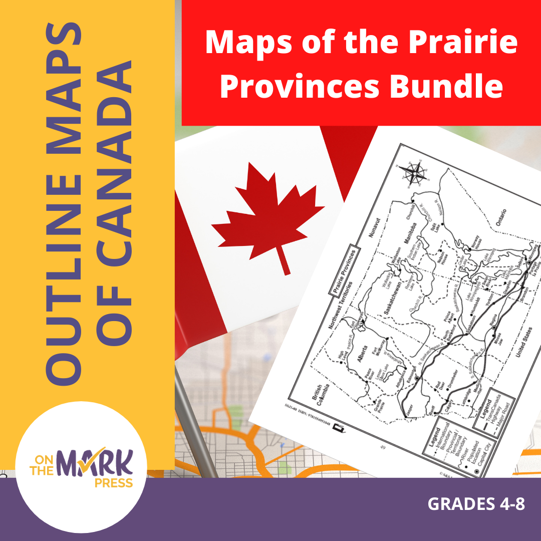


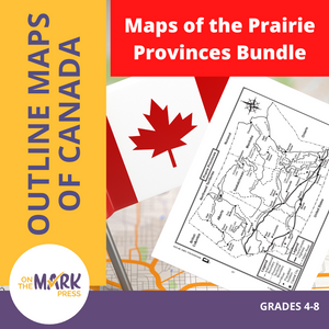


Maps of the Prairie Provinces $avings Bundle! Grades 4-8
$8.45 CAD
The maps will help students learn about the Prairie Provinces and their international and provincial/territorial boundary, rivers, landforms, the capital city, and other cities. 8 pages Subscribe to our Fan List!: Our FANlist newsletter is full of tips on ways to save time with...


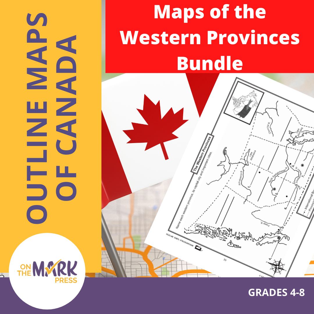


Maps of the Western Provinces $avings Bundle! Grades 4-8
$8.45 CAD
These resources will help students learn about the Western Provinces and help them to identify them on the Canadian map along with their capital cities and important cities. 8 pages Subscribe to our Fan List!: Our FANlist newsletter is full of...


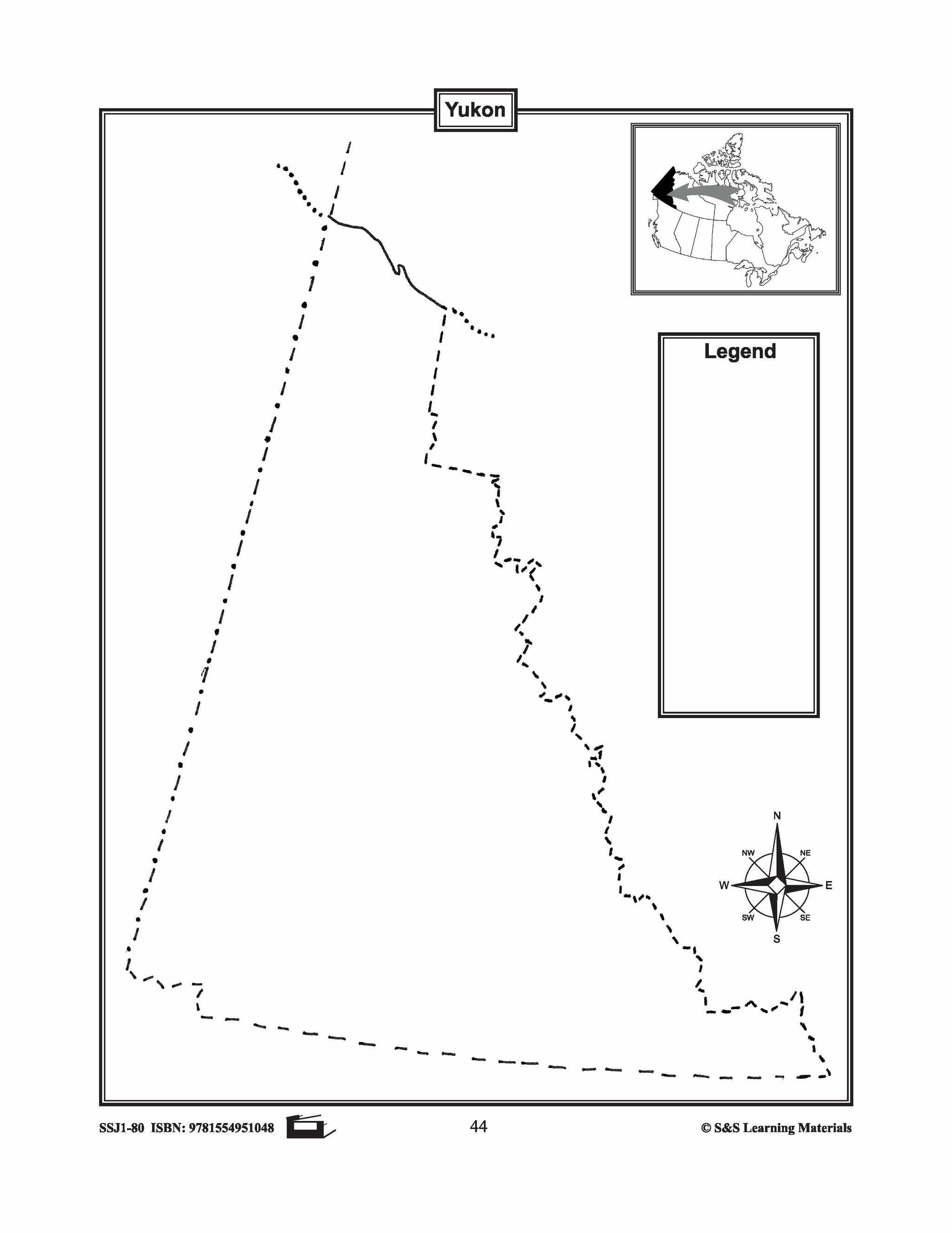


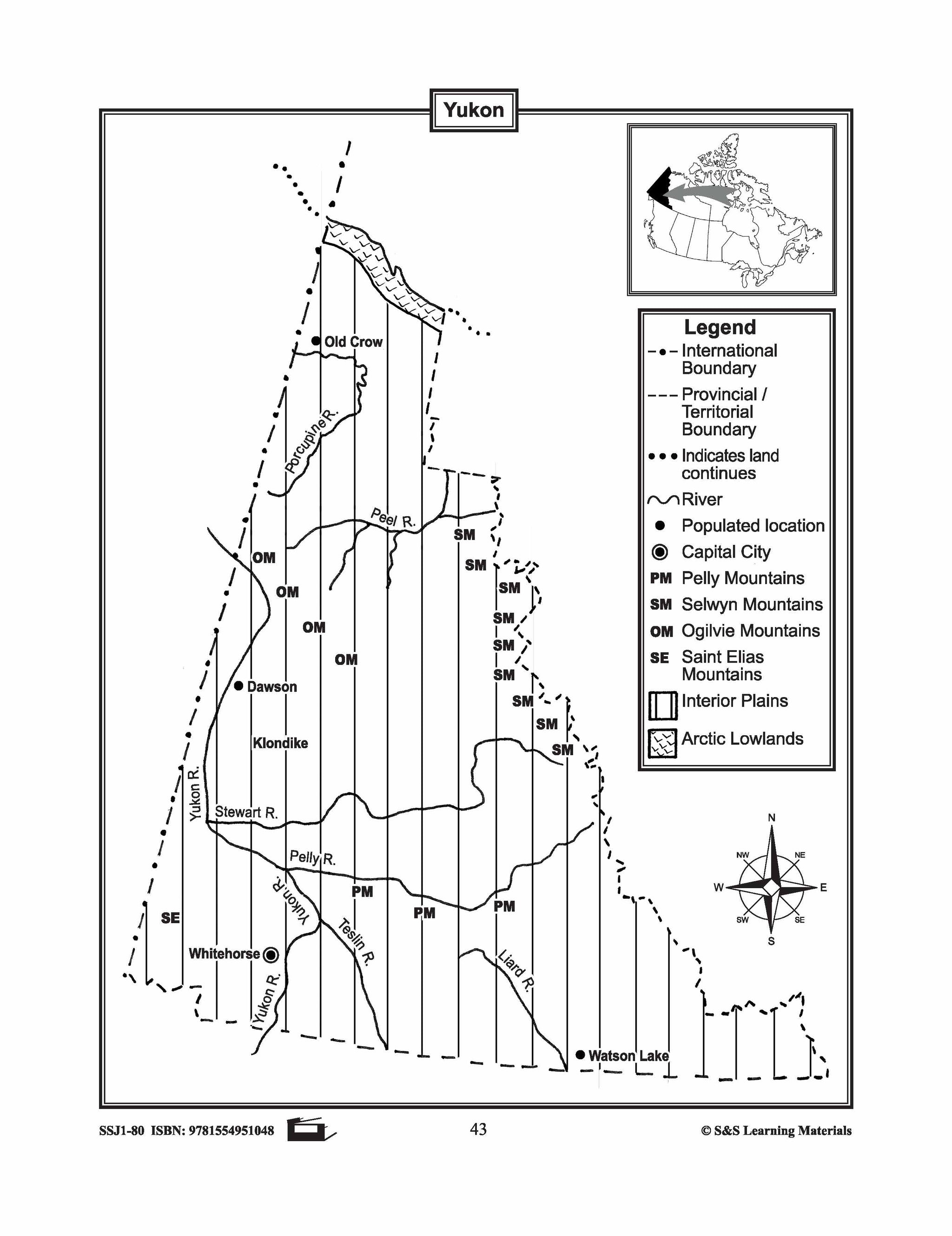
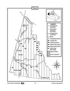
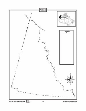
Maps of the Yukon Grades 4-8
$3.45 CAD
The maps will help students learn about the Yukon and its international and provincial/territorial boundary, rivers, landforms, the capital city, and other cities. 2 pages

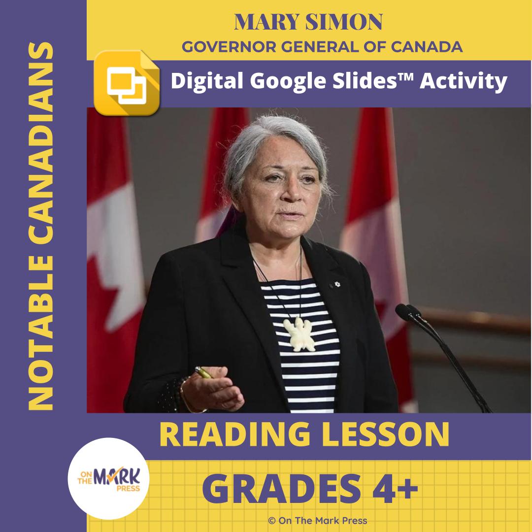

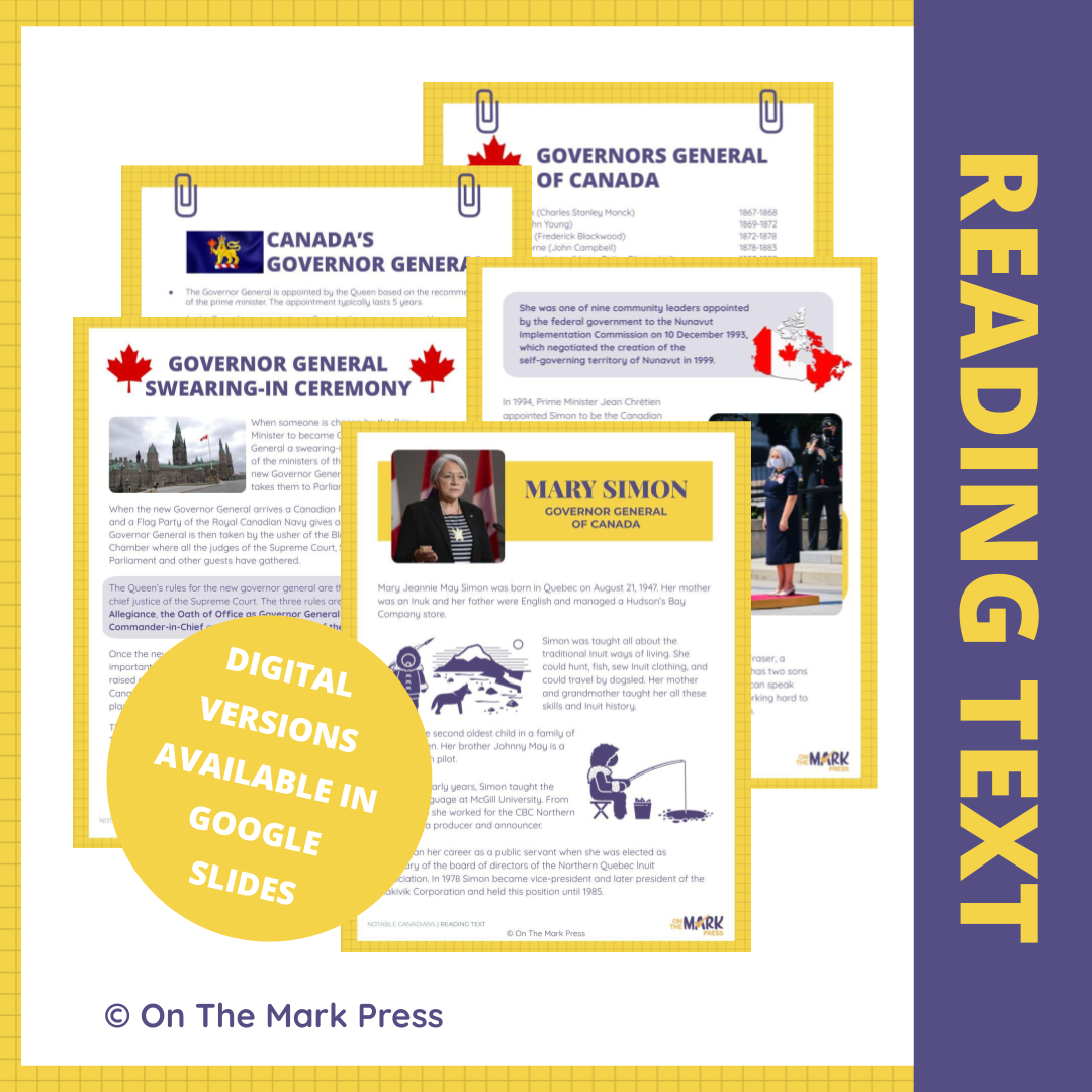

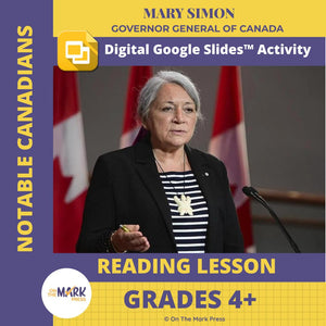
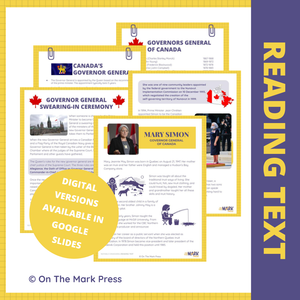
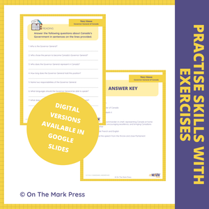
Mary Simon Canada's Governor General Google Slide & Printable Grades 4+
$3.45 CAD
Students will enjoy reading about Mary Simon Canada's 30th governor general and as the 1st Indigenous person to hold the role. Students will learn about: The role of the Governor General and how they are chosen Review a list of past...


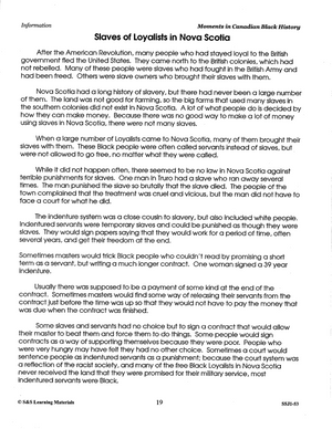
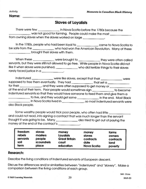
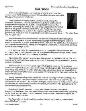
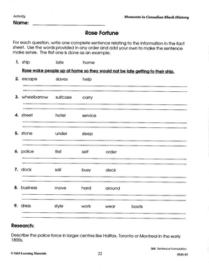
Moments in Canadian Black History Grades 5-8
$23.99 CAD
Fascinating Facts and Interesting Events, Build Comprehension Skills. By presenting little-known facts, this resource provides an intimate view of people and events in Canadian history. Activities in this resource serve as a springboard for dialogue, with a wide range of...

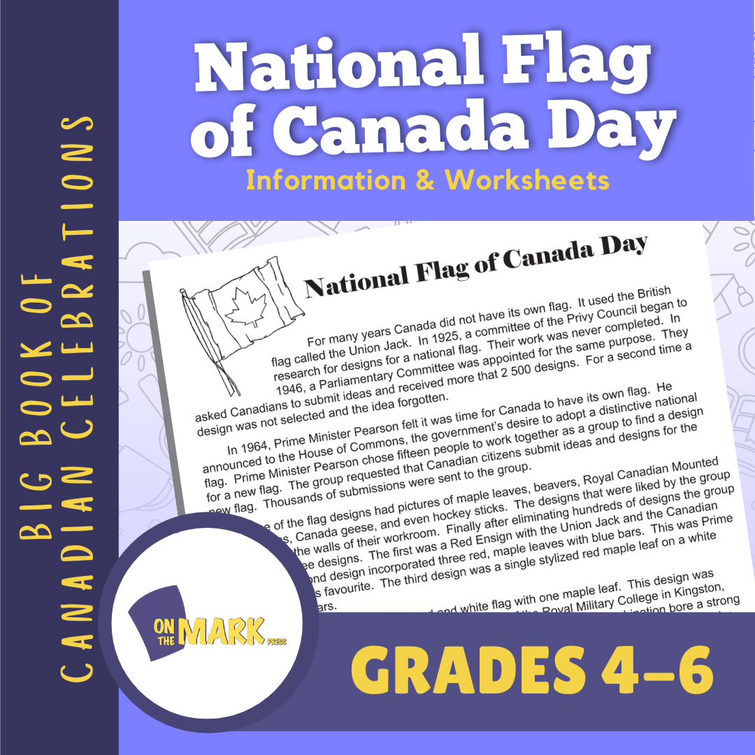

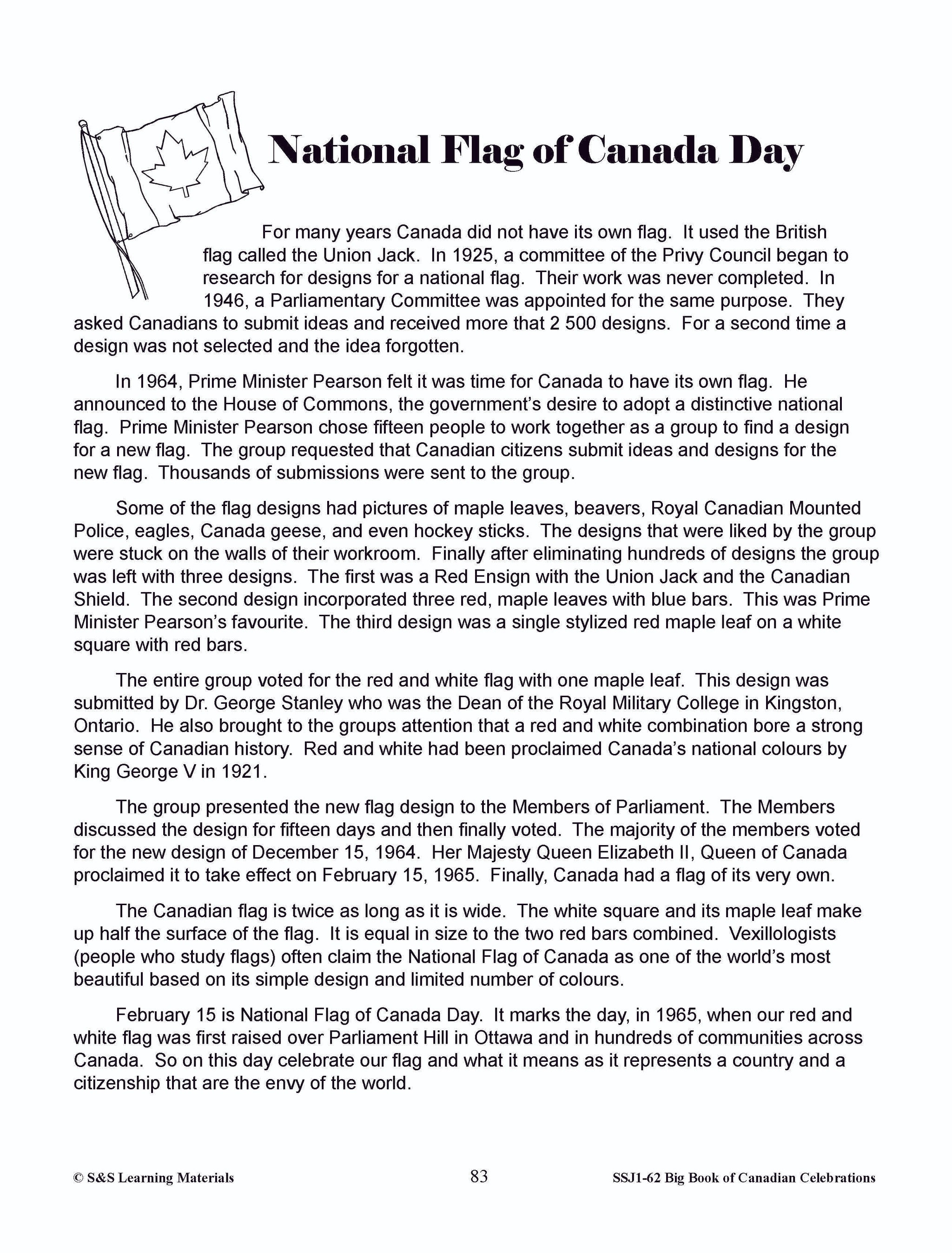
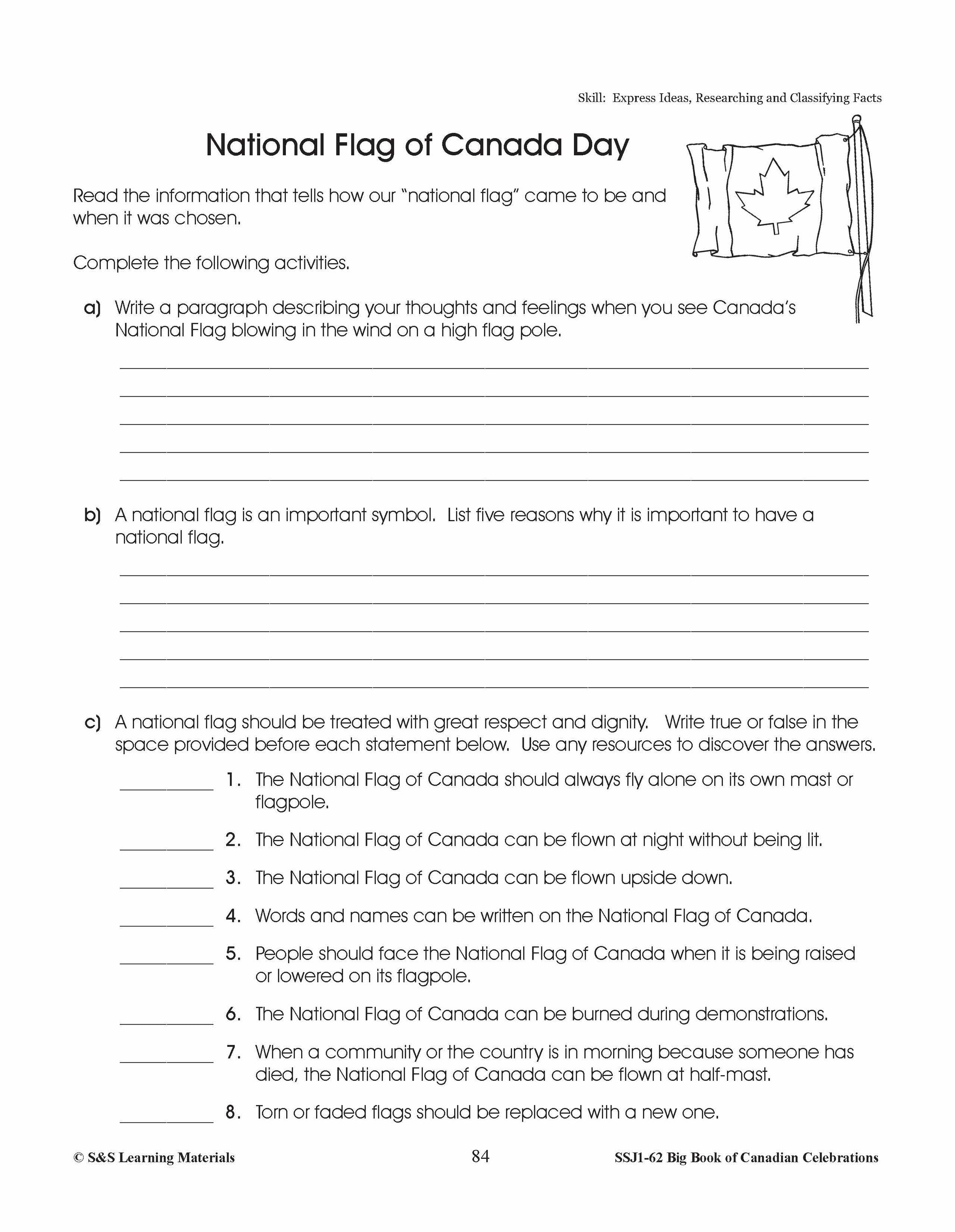
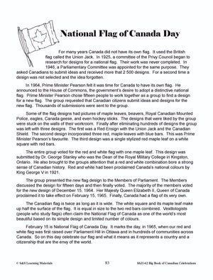

National Flag of Canada Day Gr. 4-6 Information and Worksheets
$3.95 CAD
National Flag of Canada Day is held on February 15. It is our flags birthday. The information discusses its history and how it was attained. This is a wonderful day to watch our flag being raised on a flag pole...


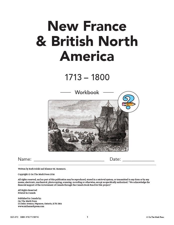

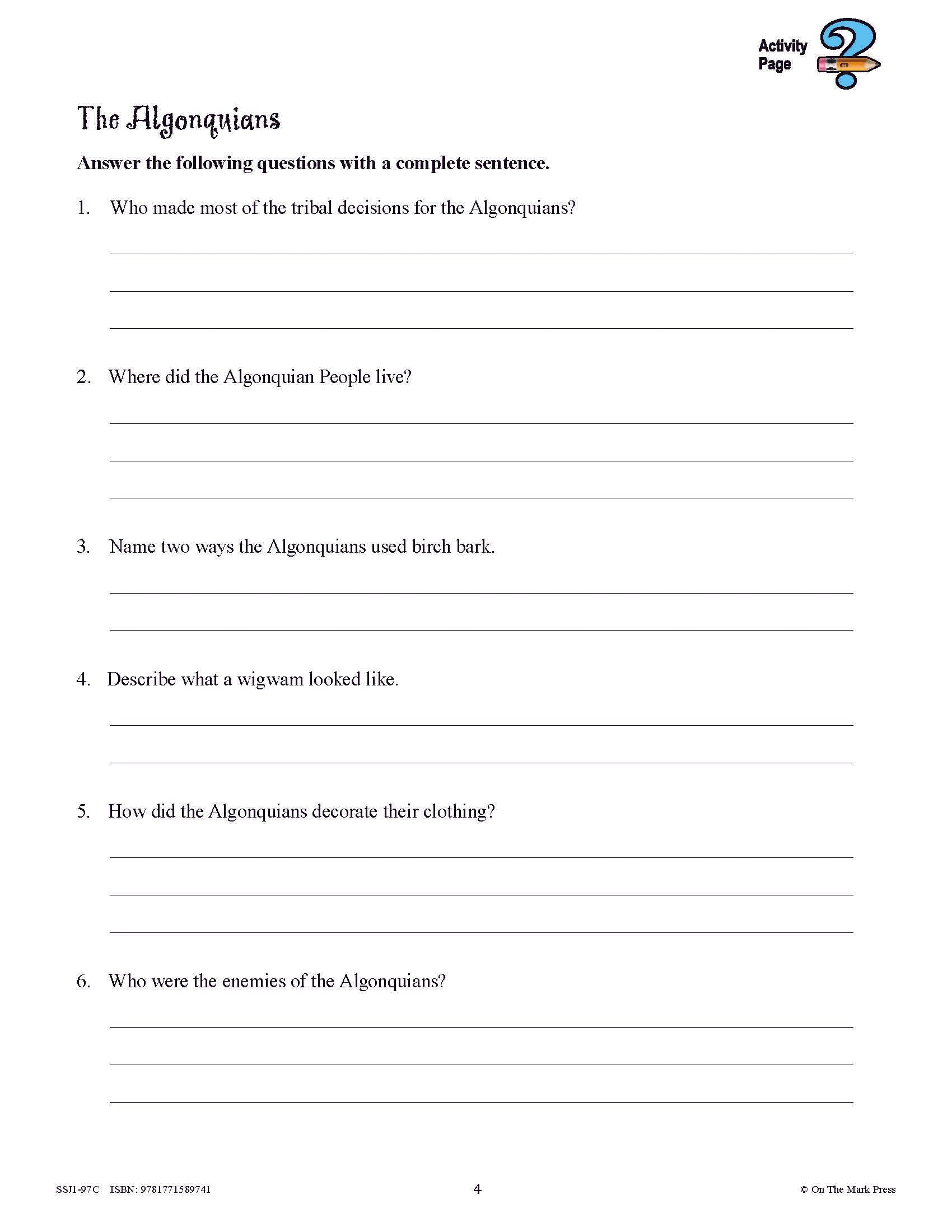


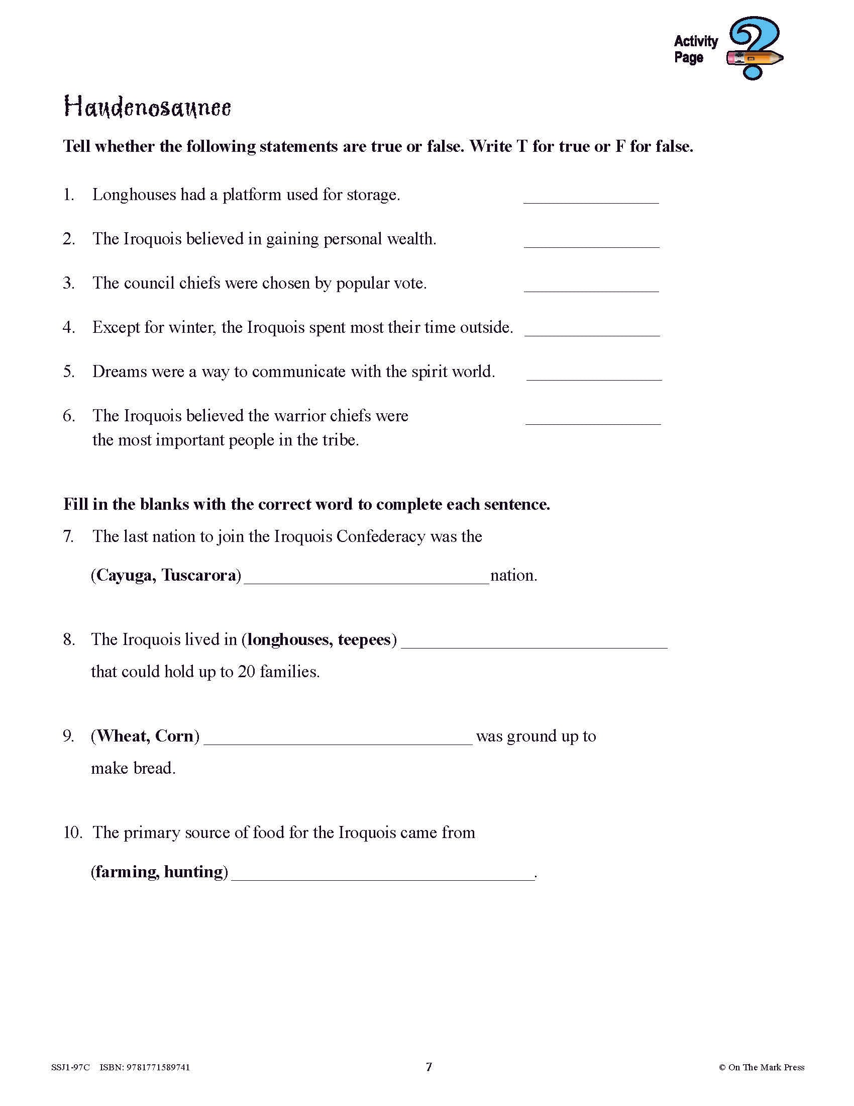
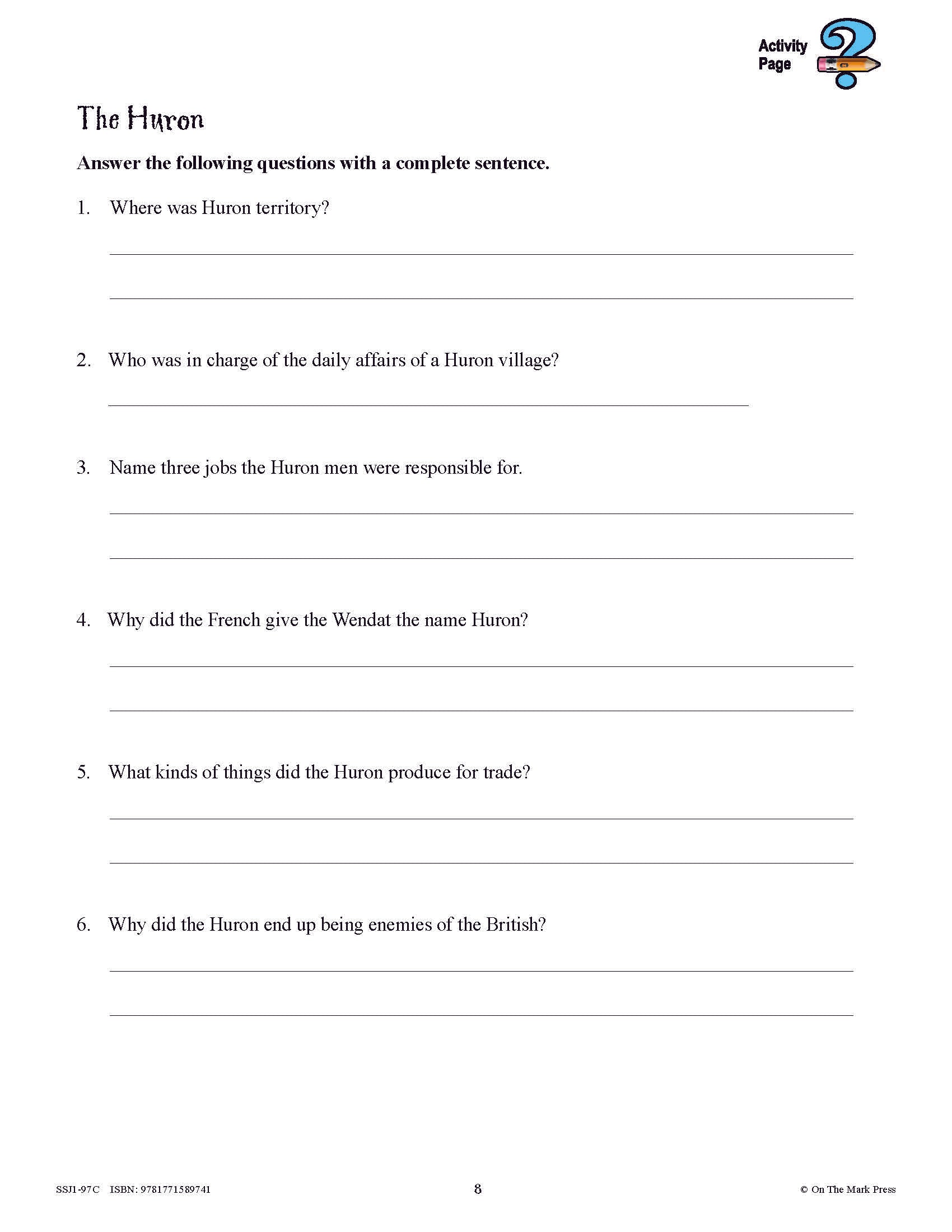


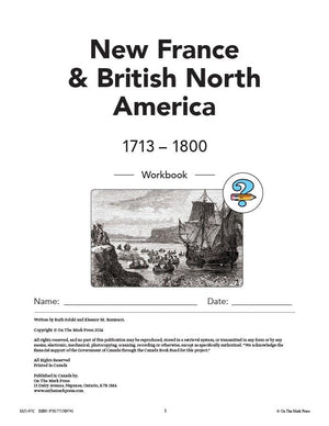
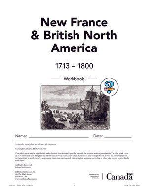
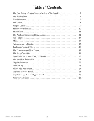
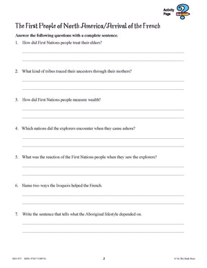
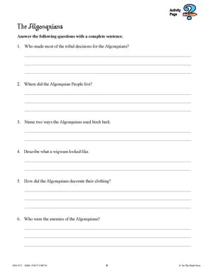

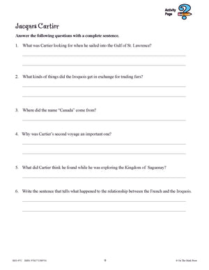
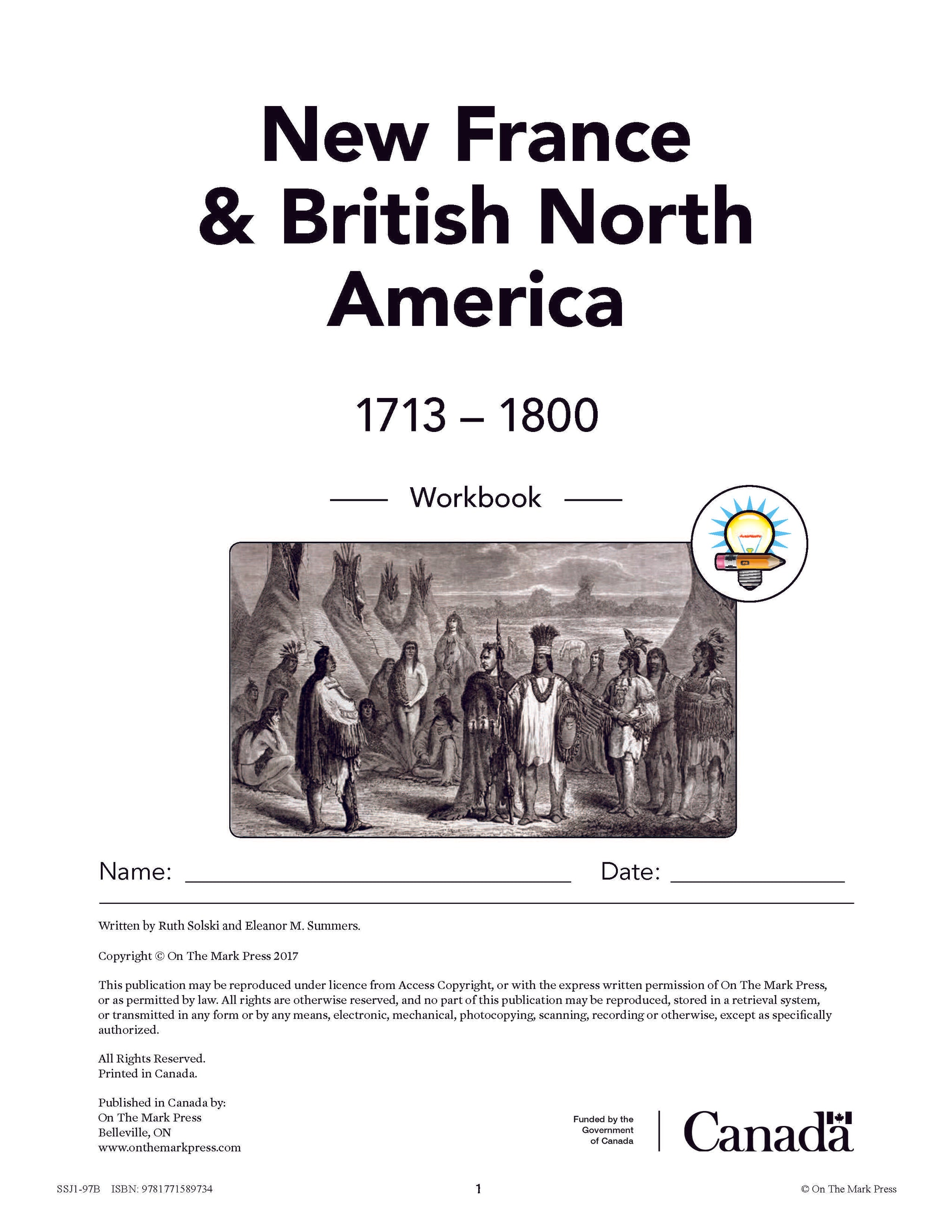
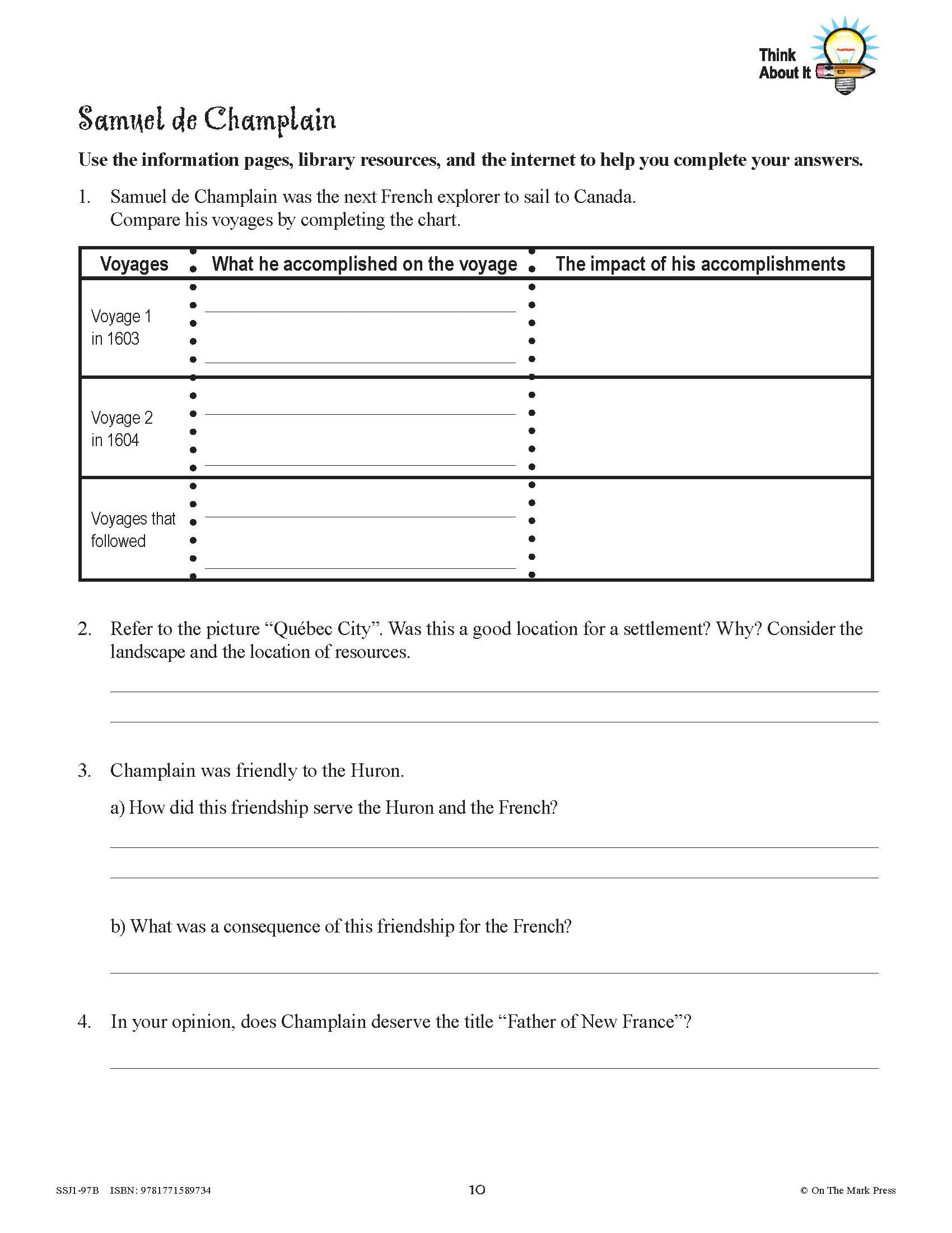
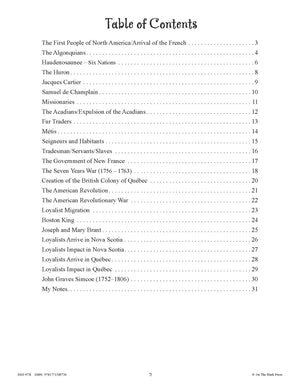
New France & British North America 1713-1800 Grades 7: 10/pk HI/LO workbooks
$79.99 CAD
10 Workbooks/Pk. This 28 page student workbook provides the hi/lo questions to the reading passages found in the reader. Space is provided for students to complete the exercises in the workbook. Photocopying is prohibited. The content covers key topics required...


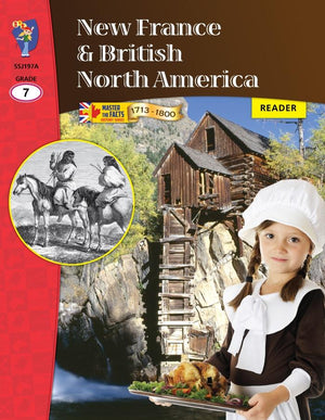
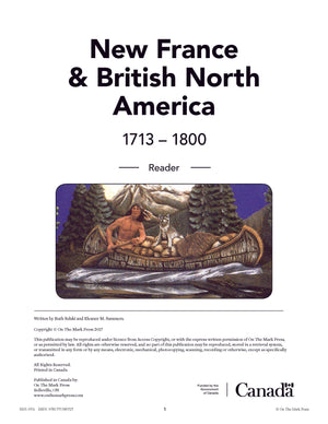
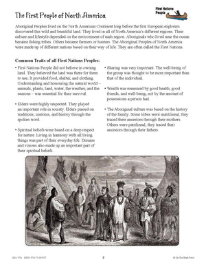
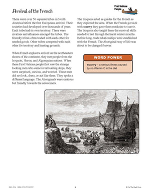


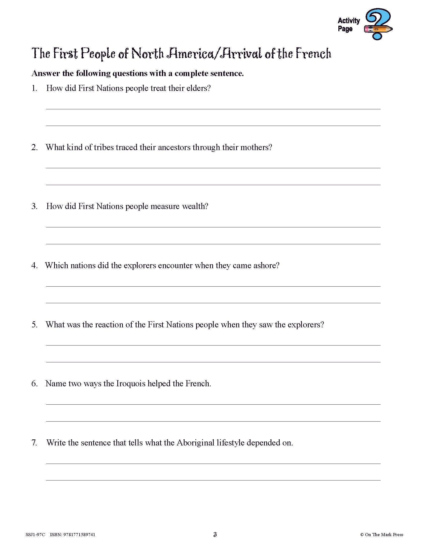
New France & British North America 1713-1800 Grades 7: 10/pk Readers
$89.99 CAD
10 Readers/Pk. The hi/lo reading passages focus on the significant people and historic events that were important to Canadian history between 1713 and 1800, giving students a good overall understanding of this time period. Each topic is presented in a...


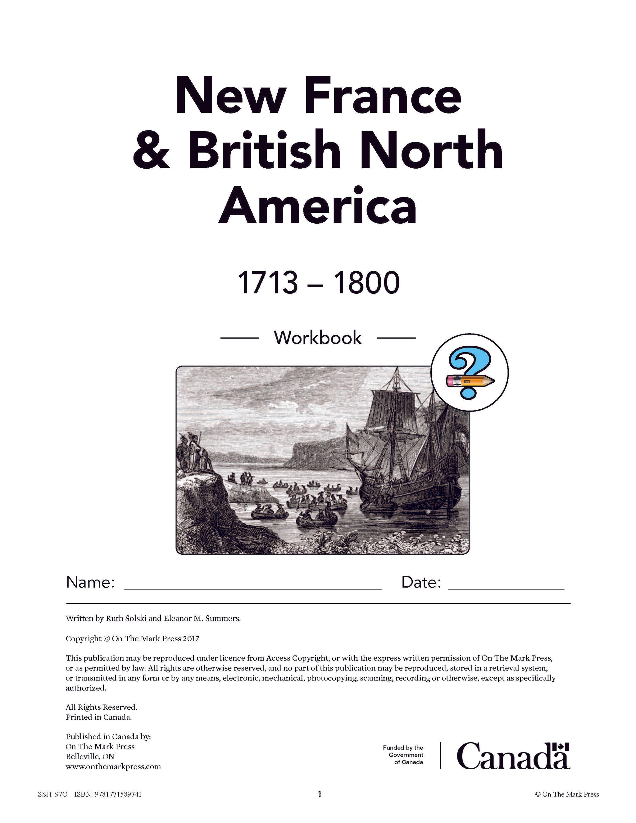
New France & British North America 1713-1800 Grades 7: 10/pk workbooks
$79.99 CAD
This 32 page student workbook provides the regular ed questions to the reading passages found in the reader. Space is provided for students to complete the exercises in the workbook. Photocopying is prohibited. The content covers key topics required for...

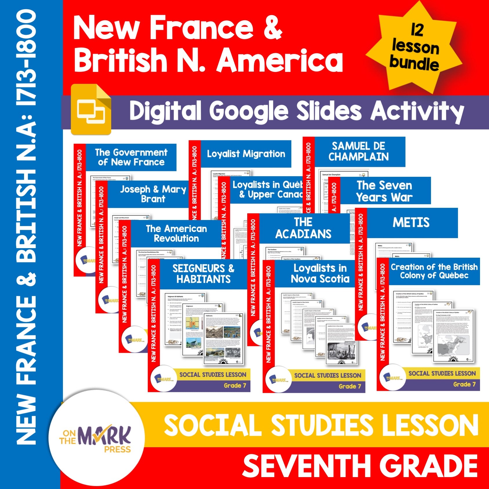


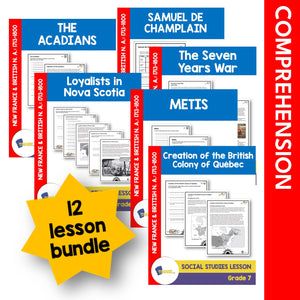
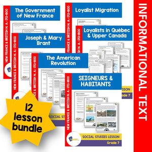

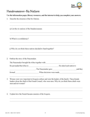
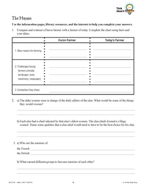
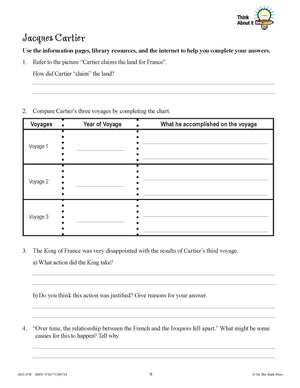
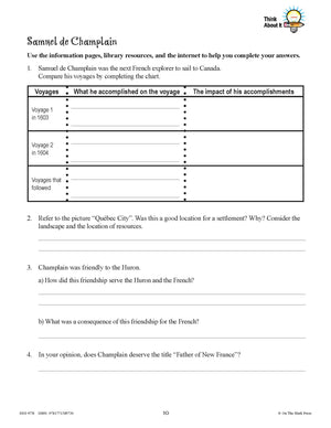
New France & Historic Events Grade 7 Google Slides Lesson & Printables Bundle!
$35.95 CAD
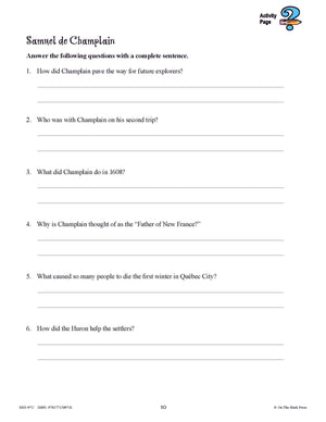
This bundle covers: Samuel de Champlain The Acadians Metis Seigneurs & Habitants The Government of New France The Seven Years War Creation of the British Colony of Quebec The American Revolution Loyalist Migration Joseph & Mary Brant Loyalists Arrive in...
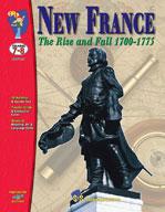


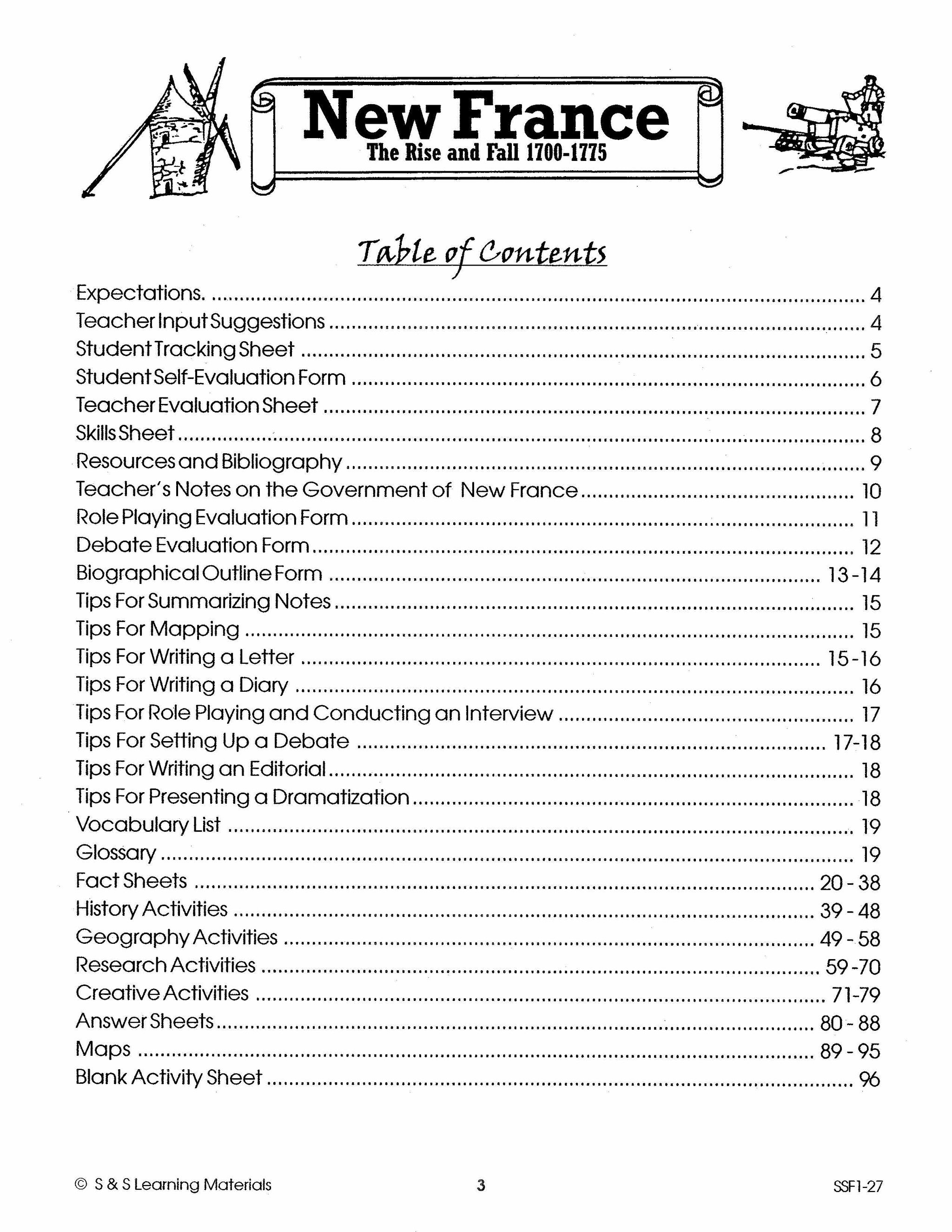

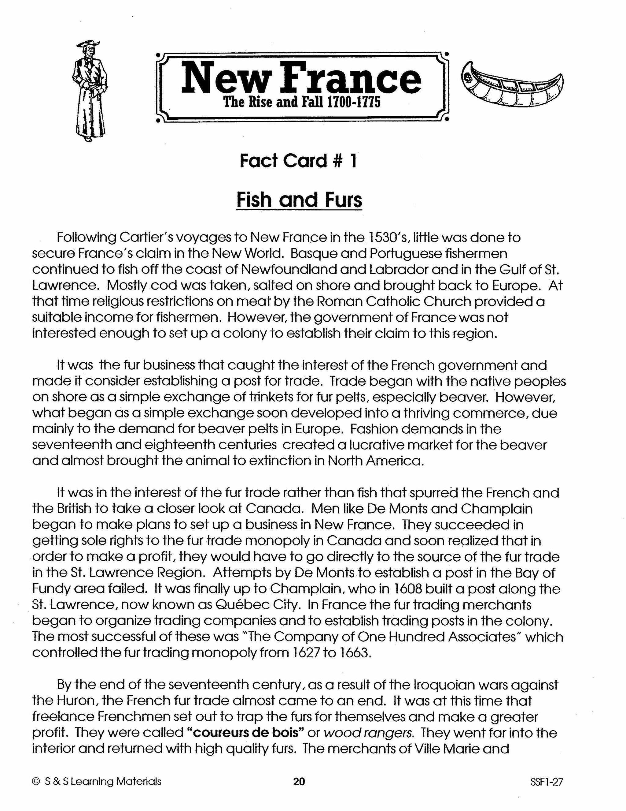


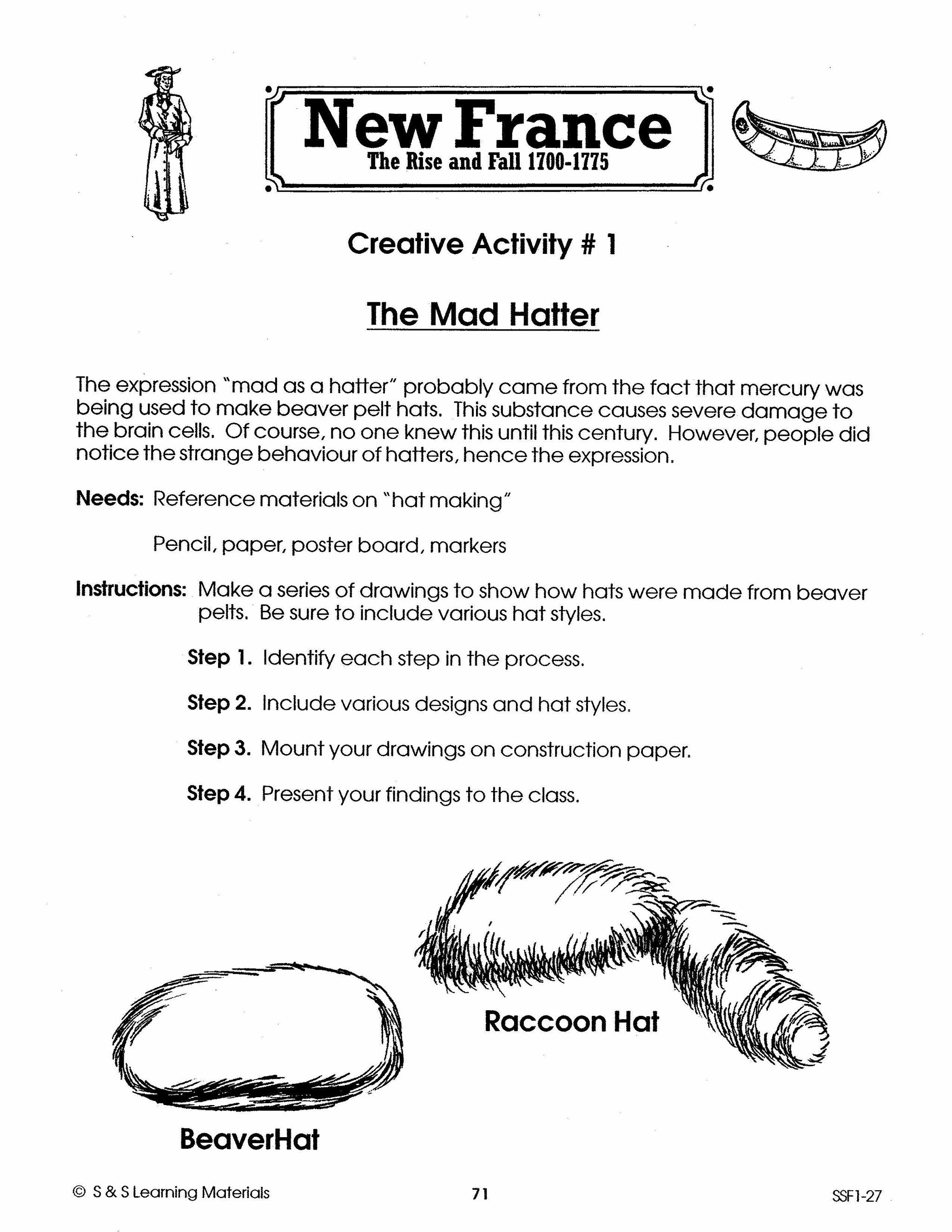


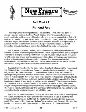
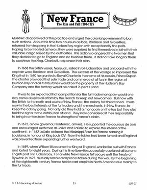
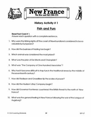
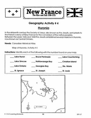
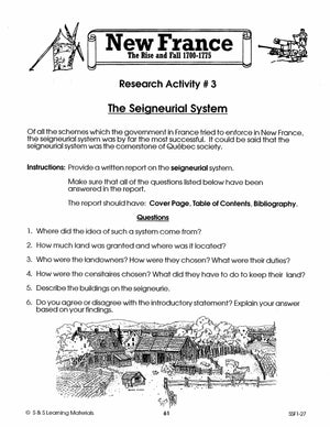
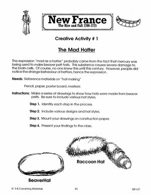
New France Part II: The Rise & Fall 1700-1775 Grades 7-8
$25.99 CAD
Examine the struggle for the survival of New France up to the implementation of the Quebec Act in 1775. Study the struggle for New France to survive, the Jesuits in Huronia, the government, the Seigneurial system, wars and treaties that...
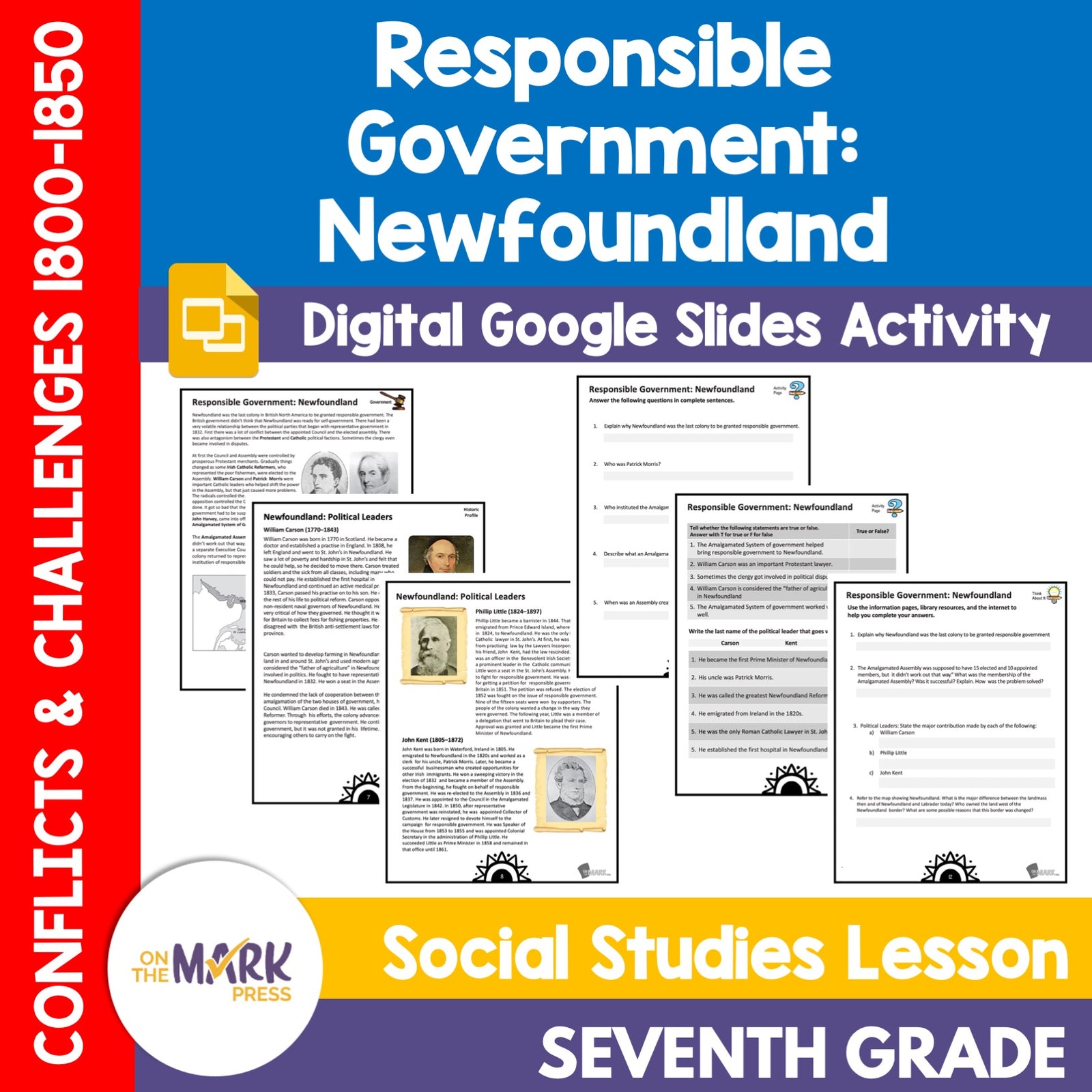


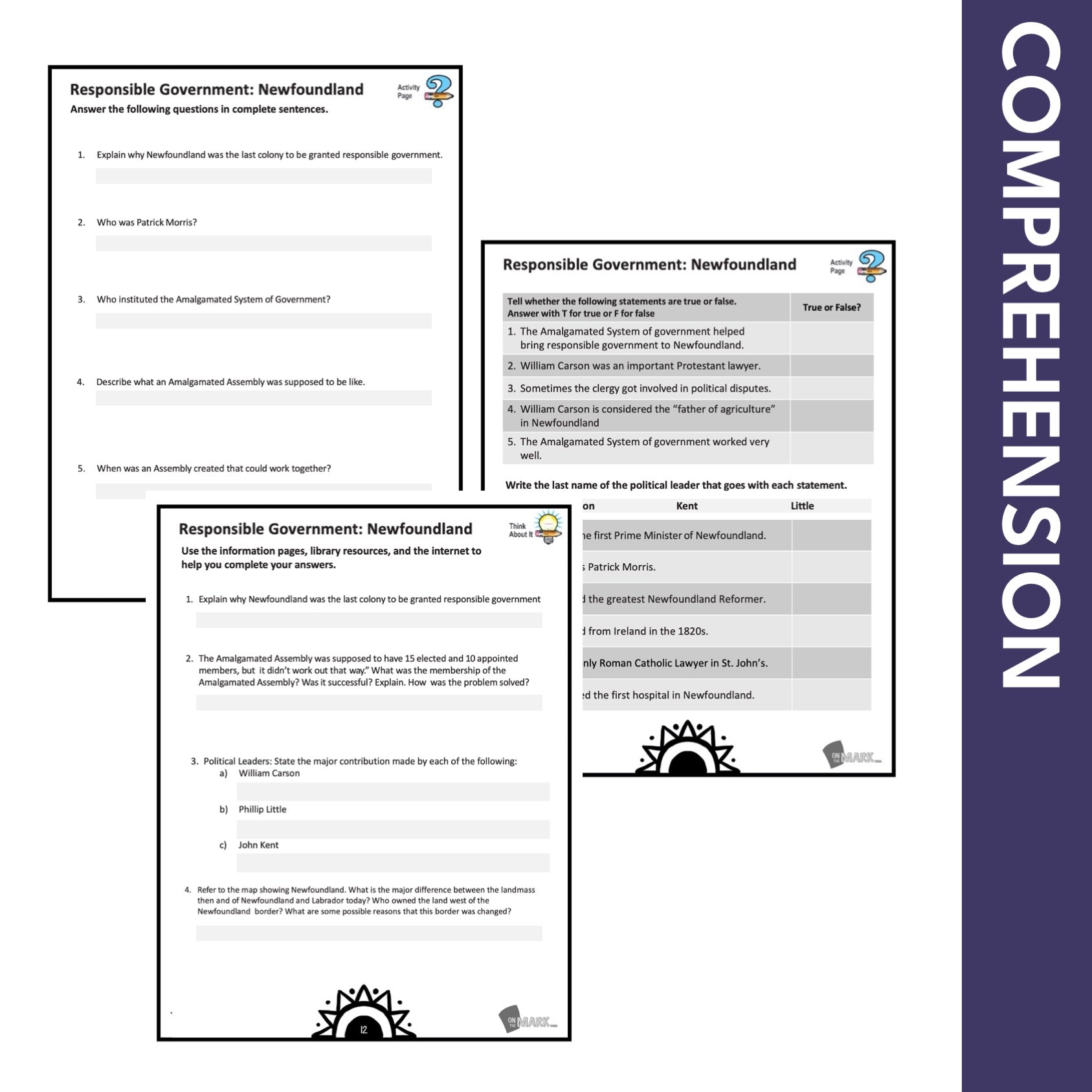


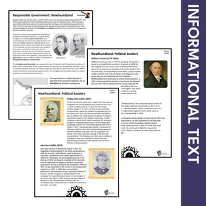
Newfoundland & It's Political Leaders from 1800-1850 Grade 7 Google Slides Lesson & Printables
$4.45 CAD
Students will learn about "Newfoundland & its Political Leaders between 1800-1850" with the information and follow-up slides. The reading passages and question pages for each topic form a complete lesson that can be integrated into your existing history curriculum. The...

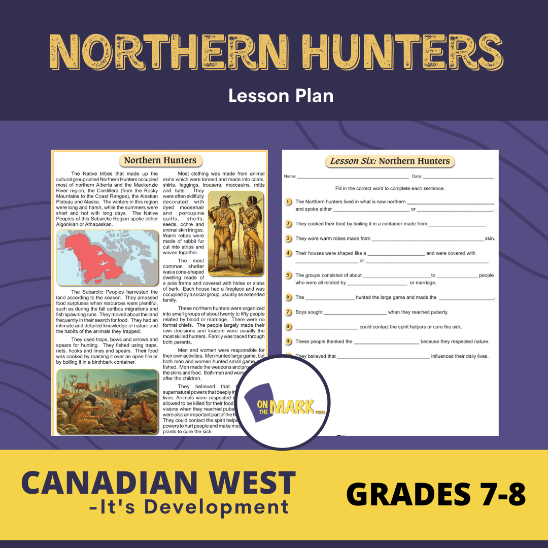

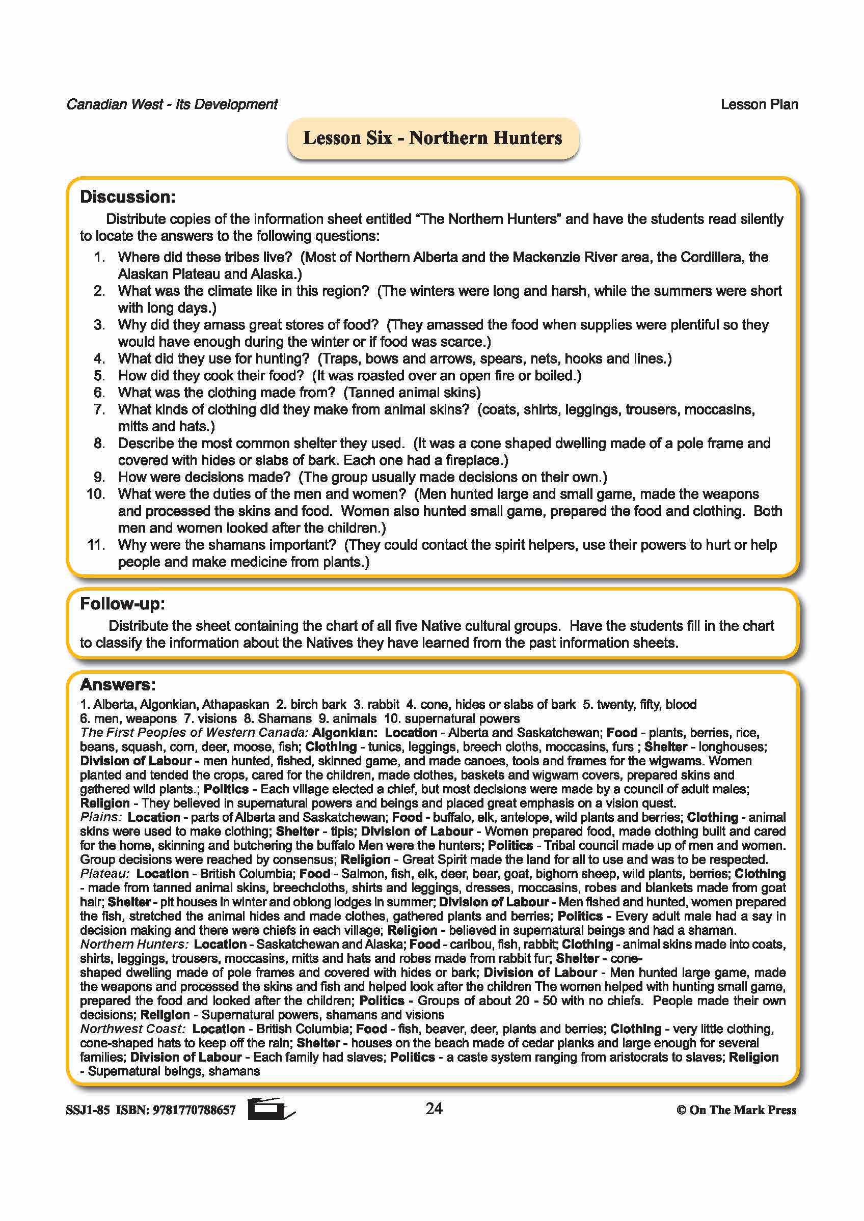
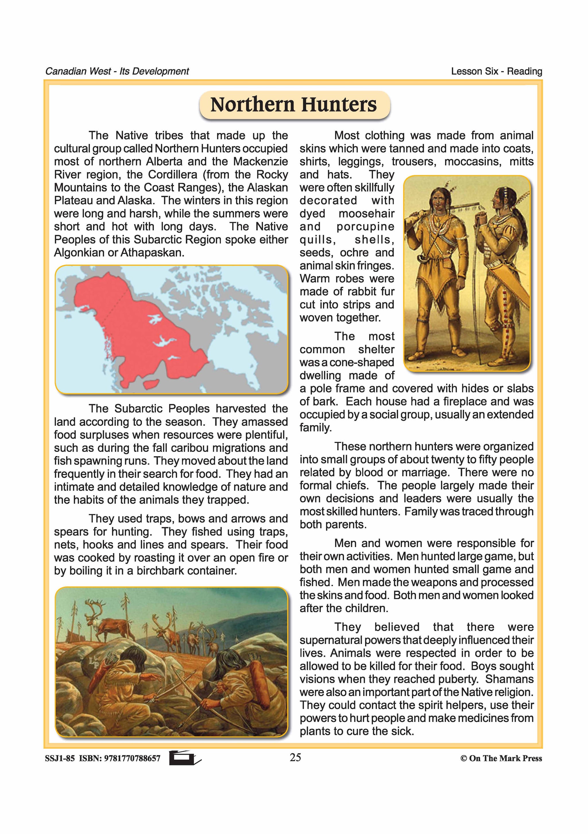
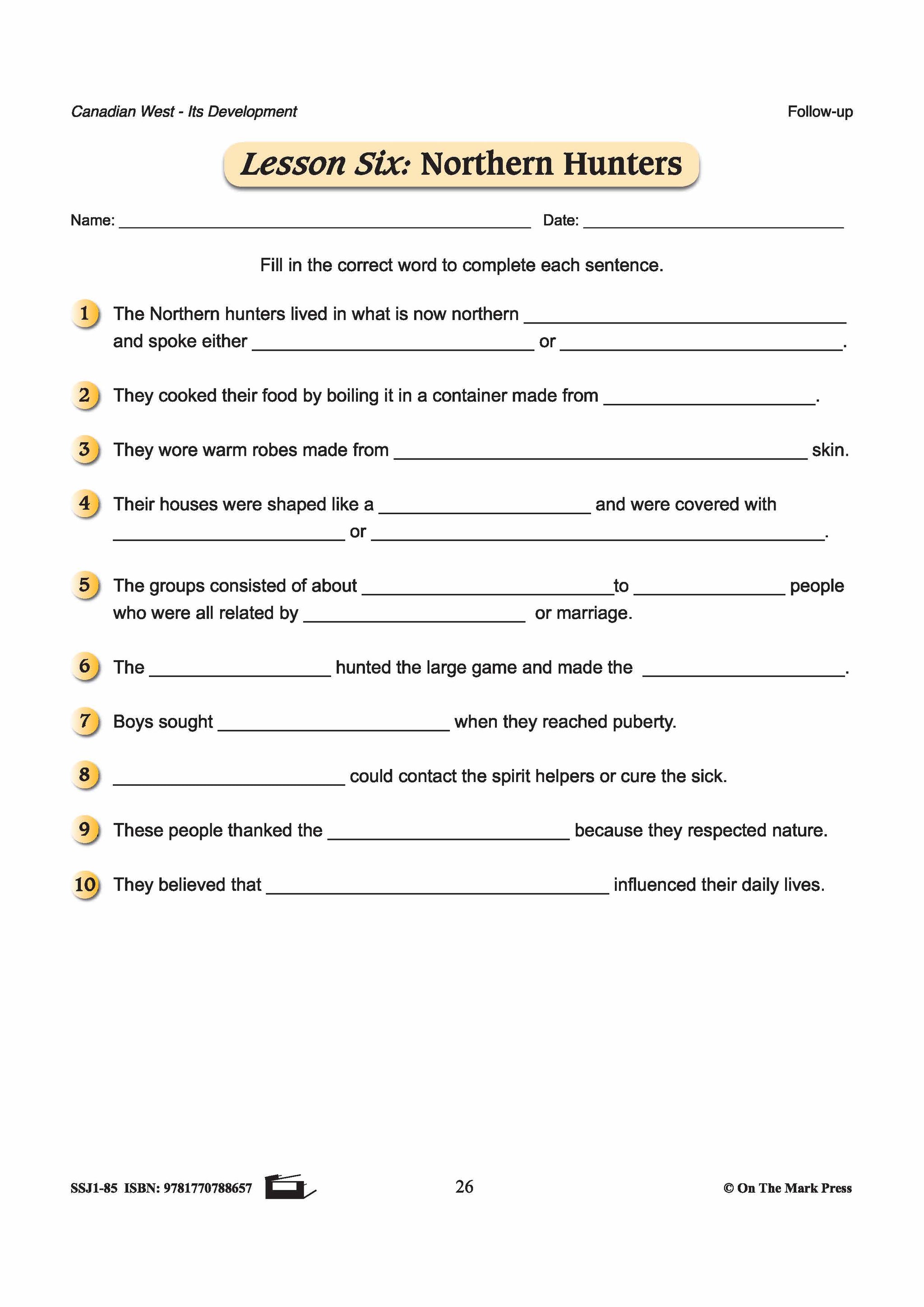

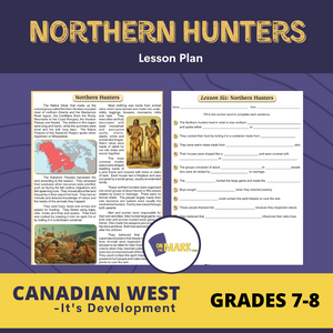
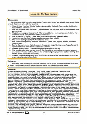

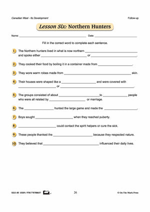
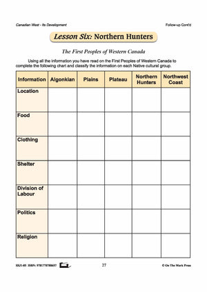
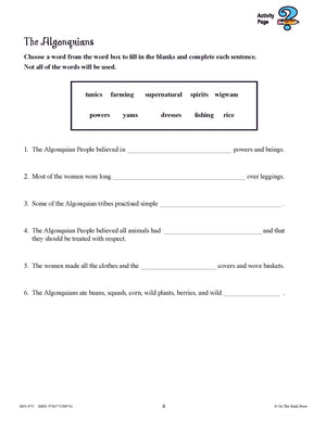
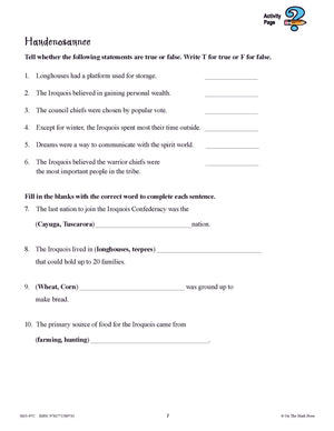
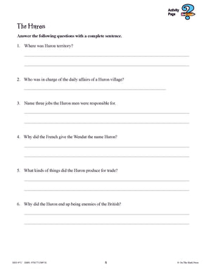
Northern Hunters Lesson Grades 7-8
$4.45 CAD
Students will have a greater understanding of Northern Hunters - who they are, their lifestyles, and where they lived. Includes a complete lesson plan with discussion questions for the topic, reading passage and follow-up worksheets, and answer key. 4 pages

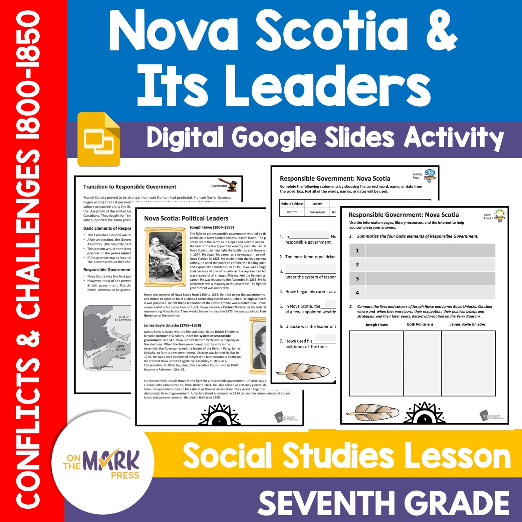

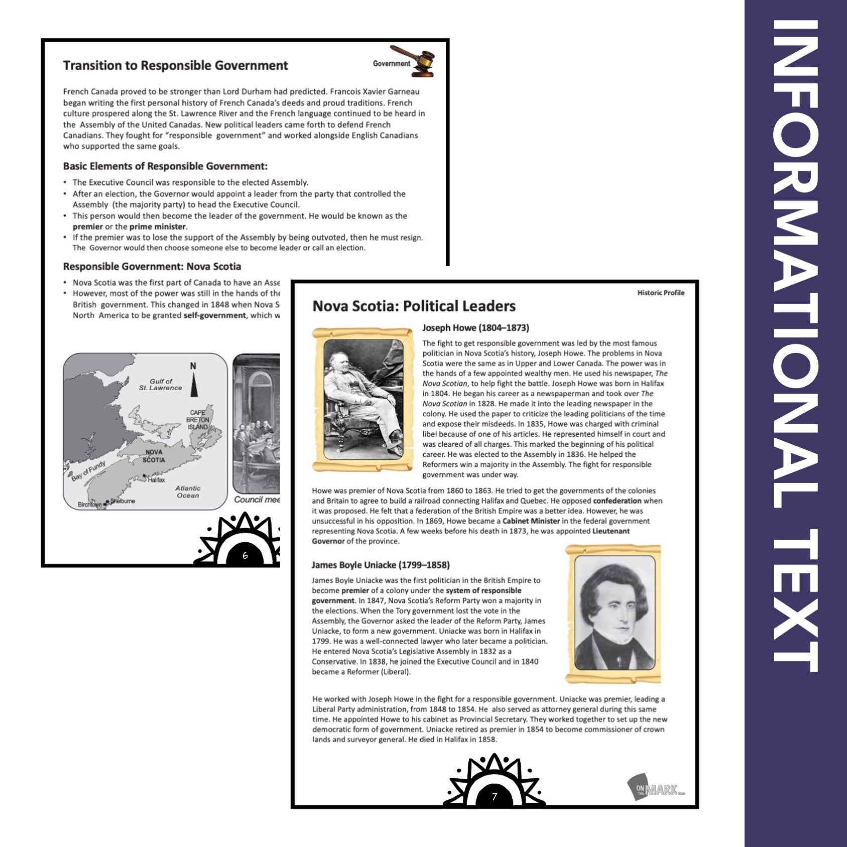
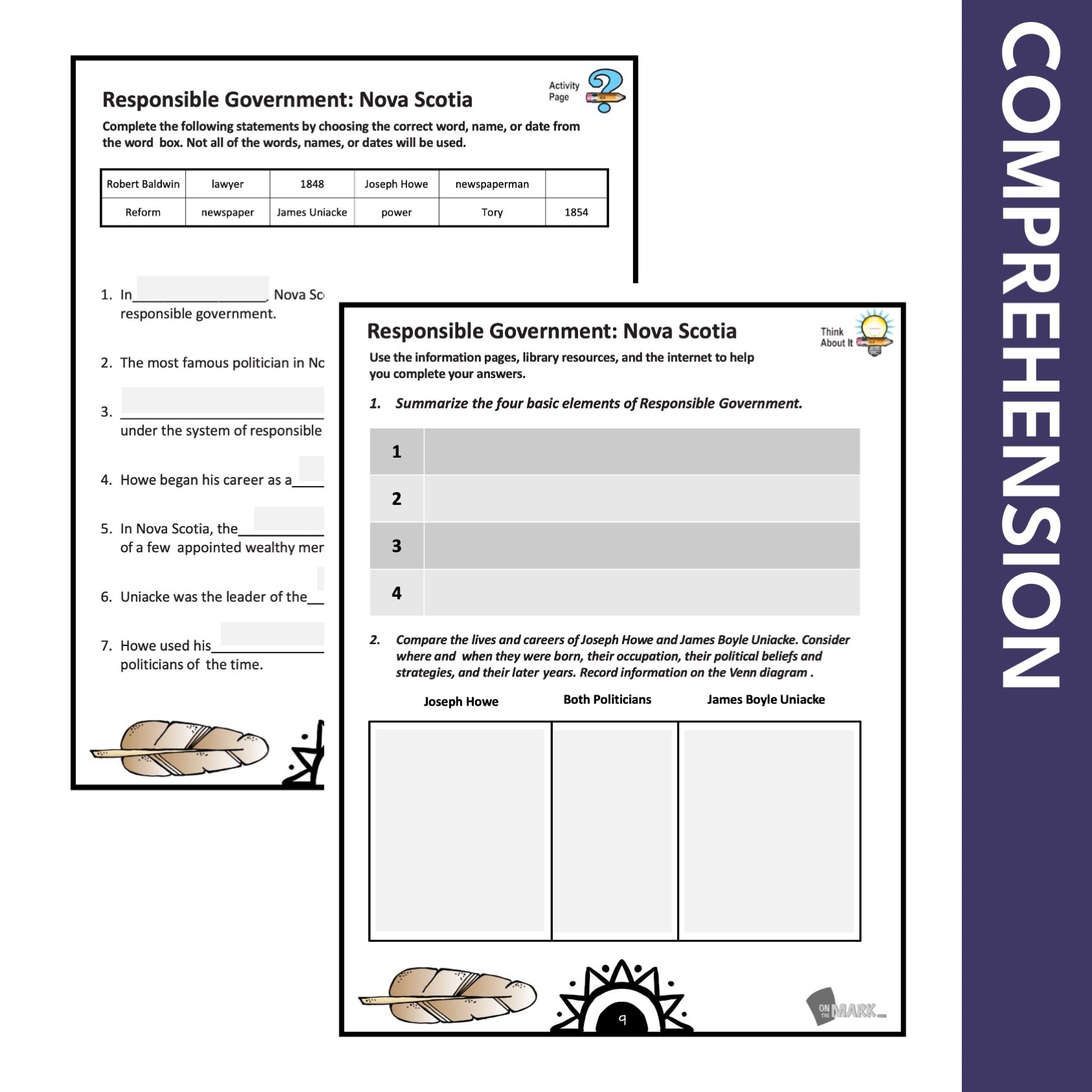

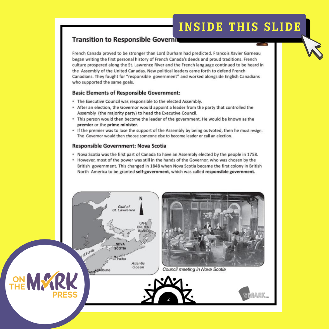
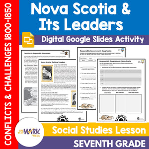
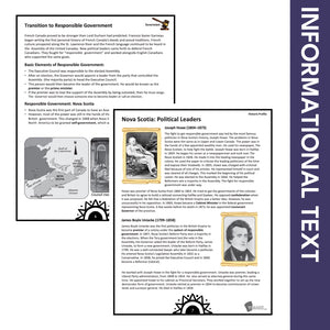
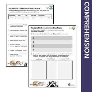
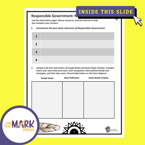

Nova Scotia & It's Political Leaders from 1800-1850 Grade 7 Google Slides Lesson & Printables
$4.45 CAD
Students will learn about "Nova Scotia's Political Leaders between 1800-1850" with the information and follow-up slides. The reading passages and question pages for each topic form a complete lesson that can be integrated into your existing history curriculum. The material...

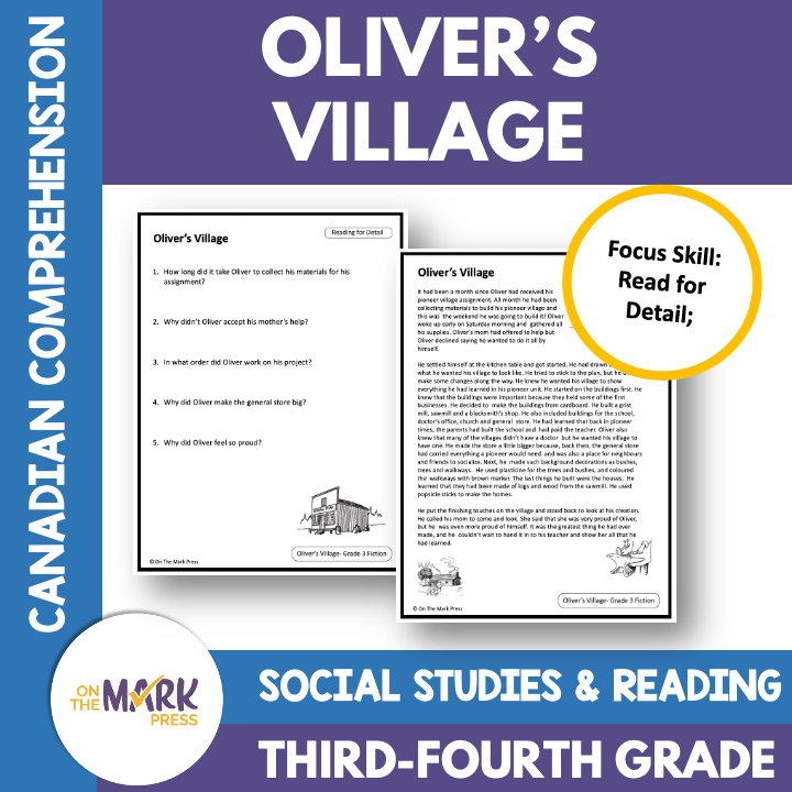


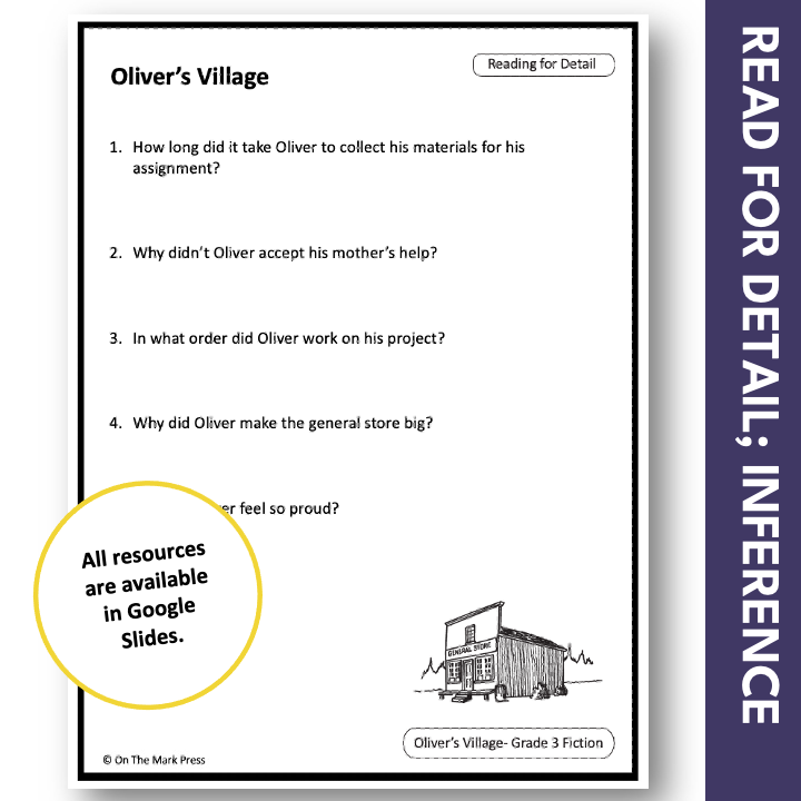
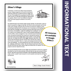

Oliver Villages: A CDN Social Studies Reading Comp. Grades 3-4 Google Slides
$2.95 CAD
This fiction reading lesson is tailored to integrate language-based social studies content into their literacy time. Students will read about Oliver's experience as he plans, and builds his pioneer village for his school assignment. Literacy Skill: Reading for Detail The...