
Products

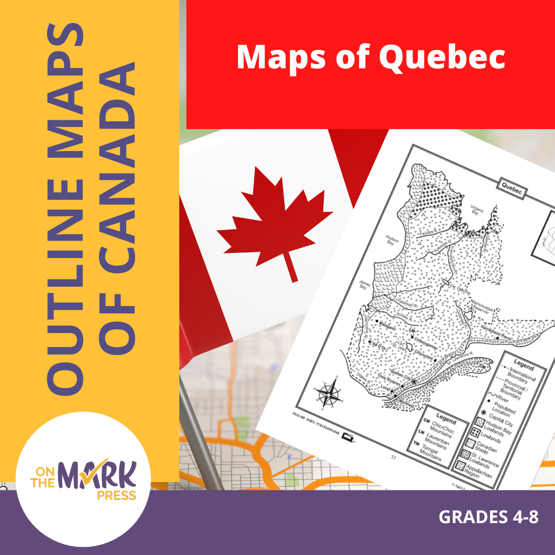

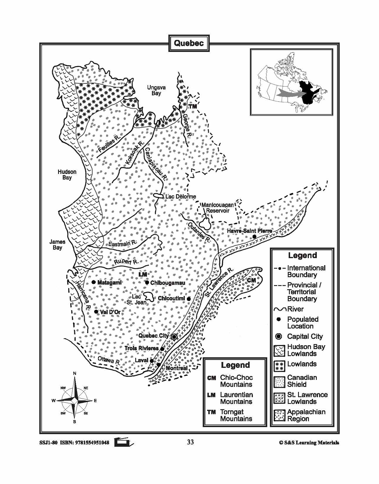


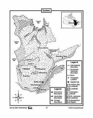
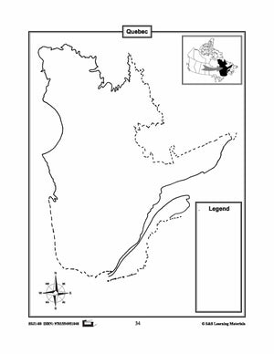
Maps of Quebec Grades 4-8
$3.45 CAD
The maps will help students learn about Quebec and its international and provincial/territorial boundary, rivers, landforms, the capital city, and other cities. 2 pages
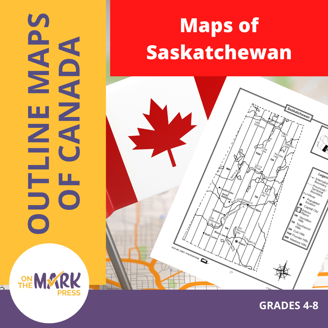


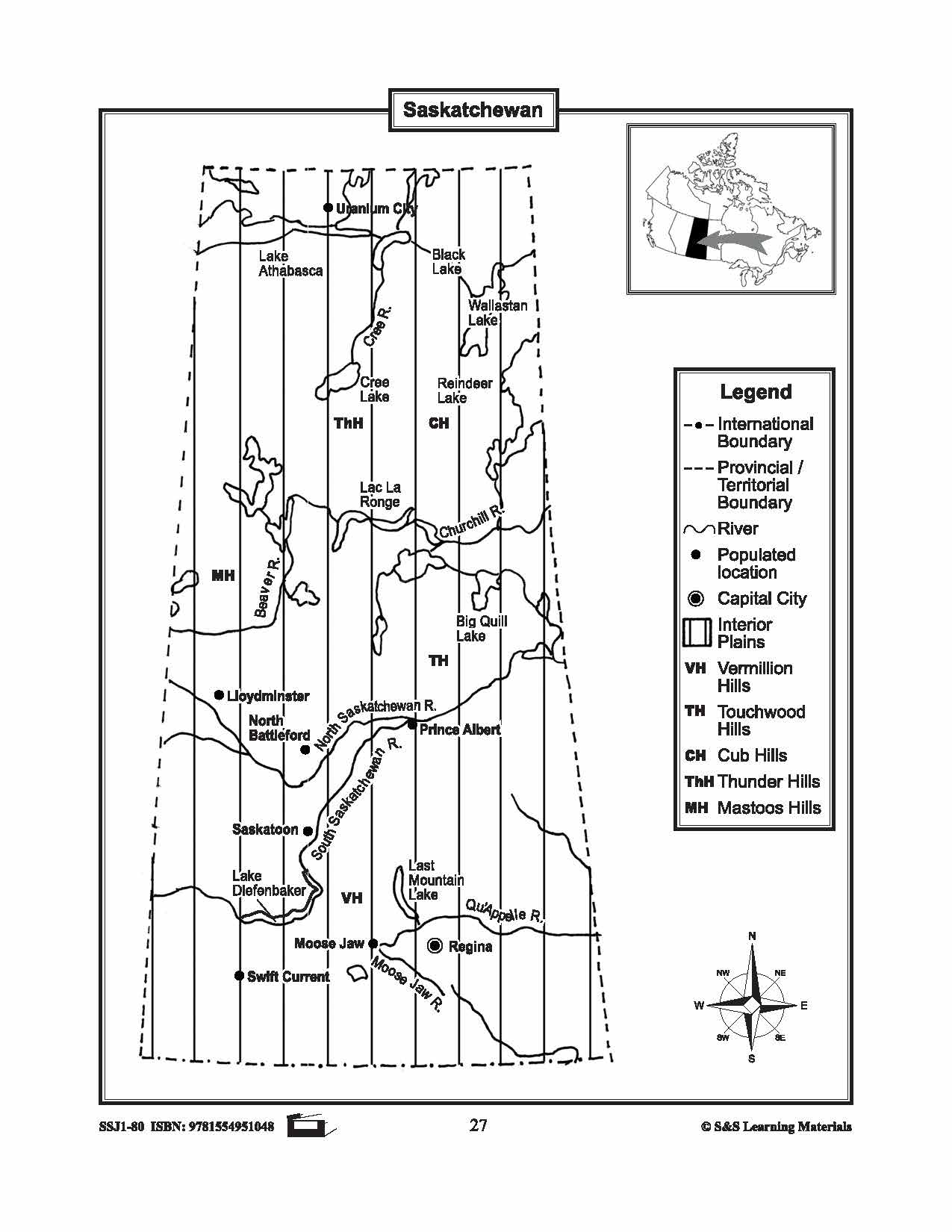


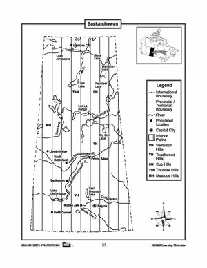
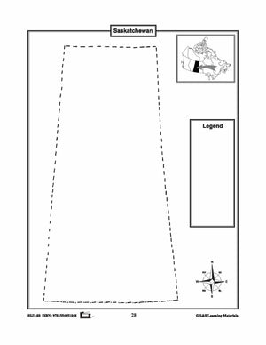
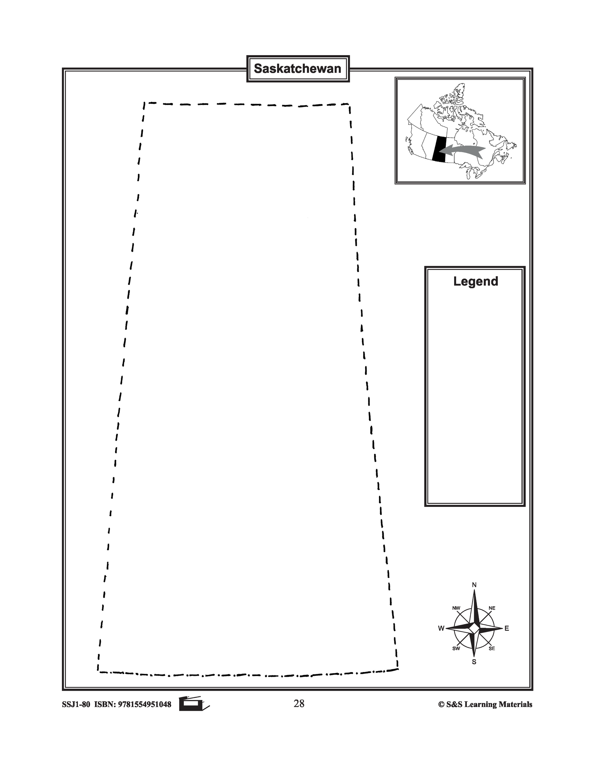
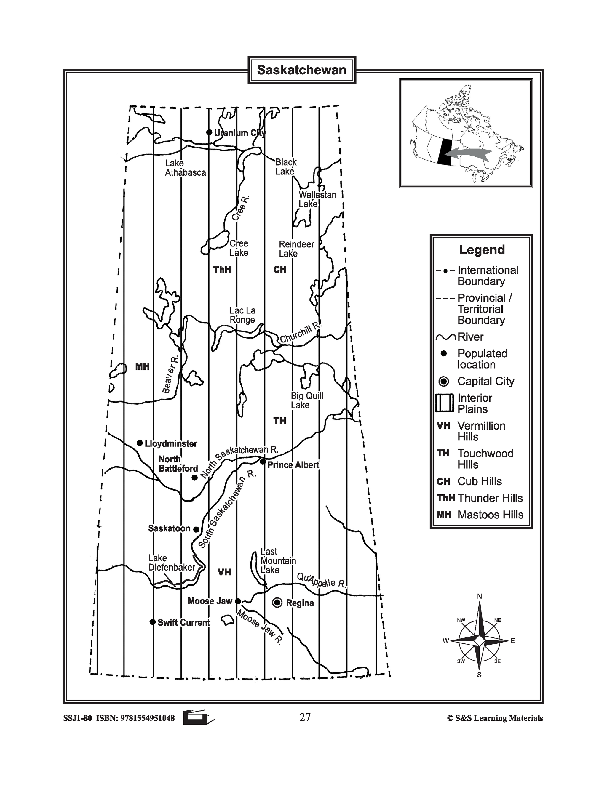
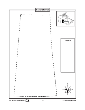
Maps of Saskatchewan Grades 4-8
$3.45 CAD
The maps will help students learn about Saskatchewan and its international and provincial/territorial boundary, rivers, landforms, the capital city, and other cities. 2 pages


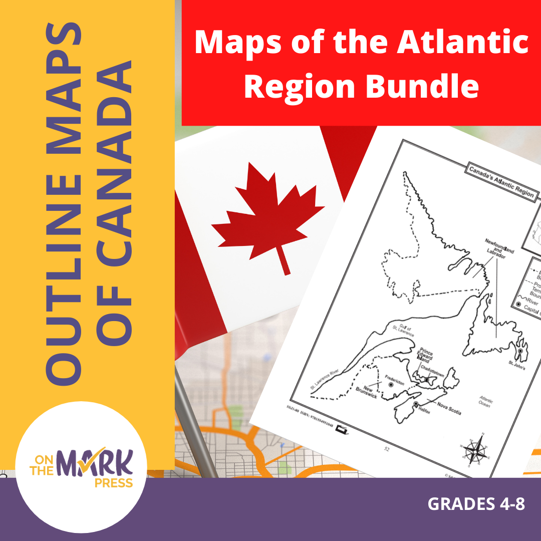

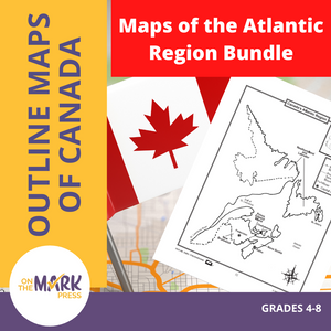


Maps of the Atlantic Region $avings Bundle! Grades 4-8
$3.45 CAD
These resources will help students learn about the Maritime provinces and help them to identify them on the Canadian map along with their capital cities and bordering bodies of water. 6 pages Subscribe to our Fan List!: Our FANlist newsletter is...
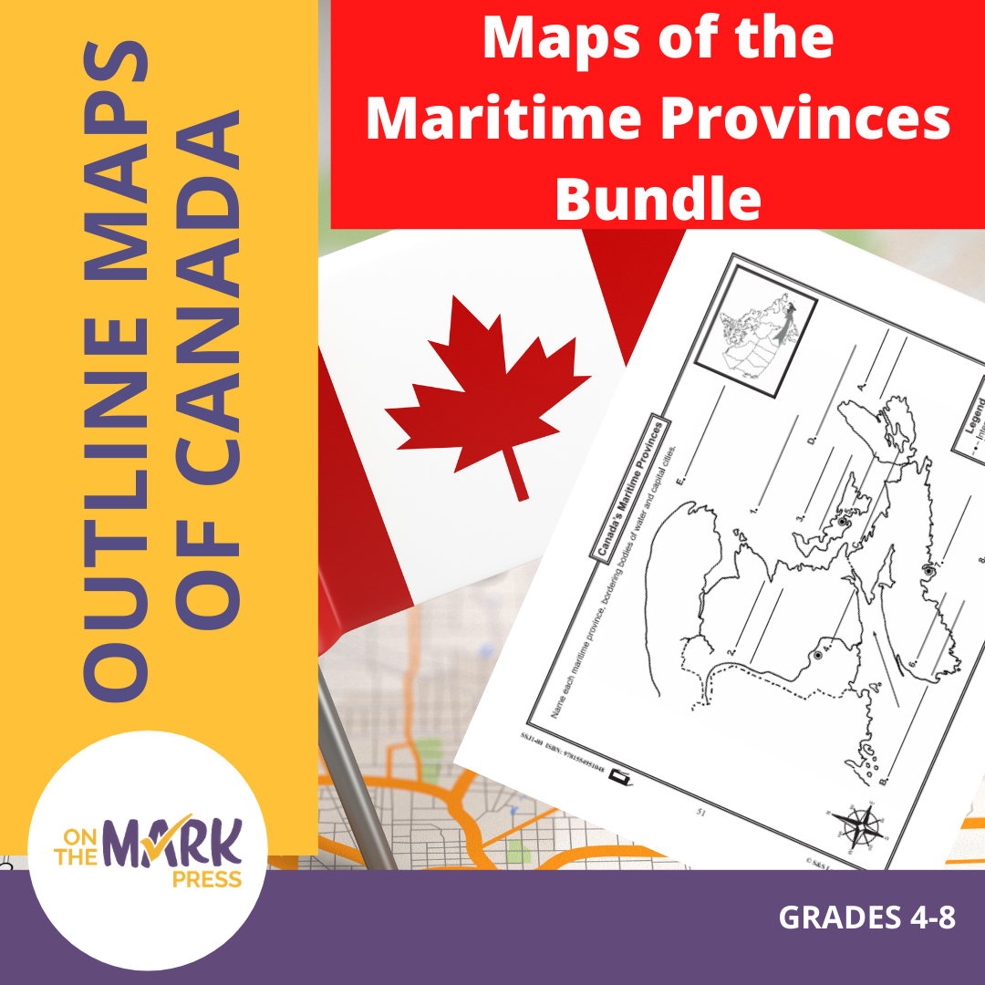


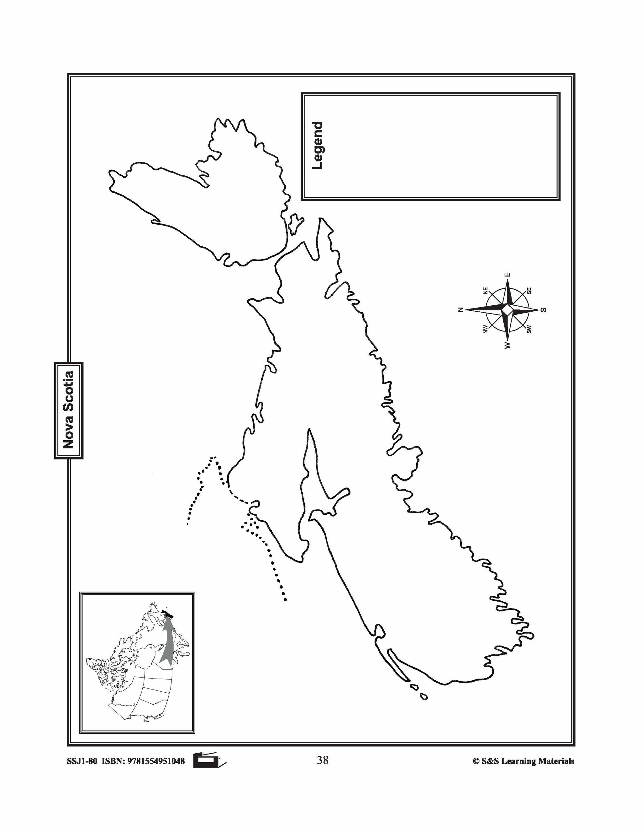
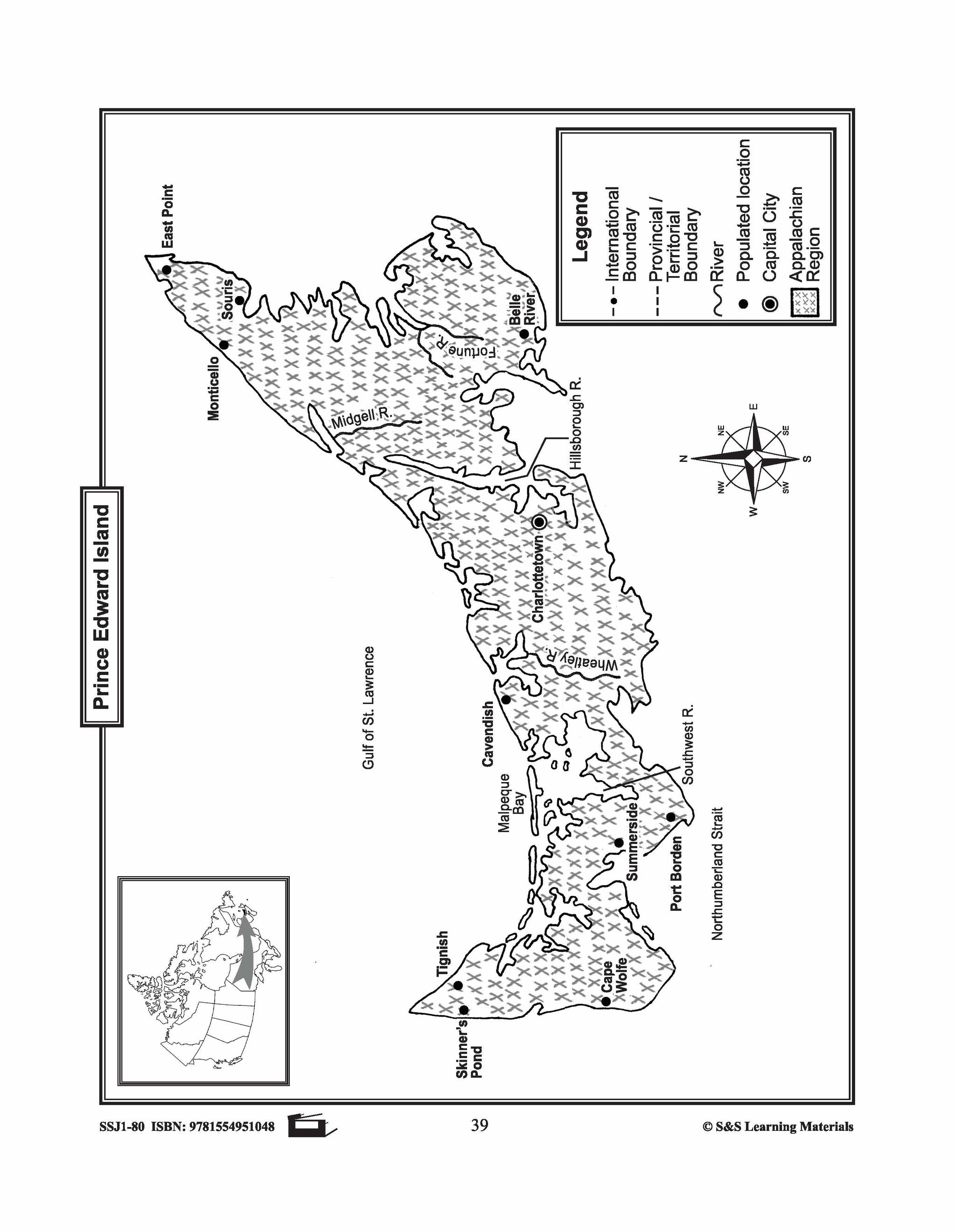
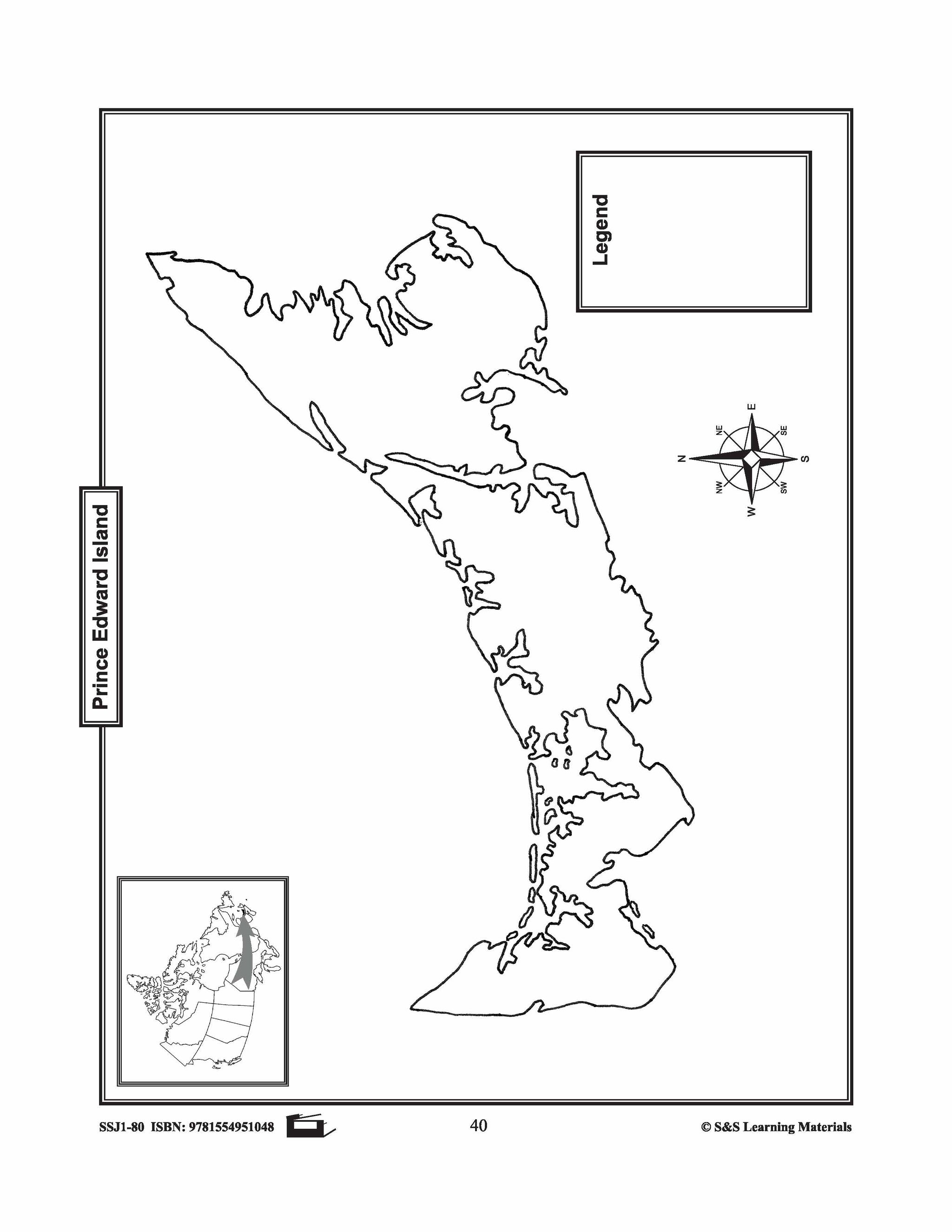


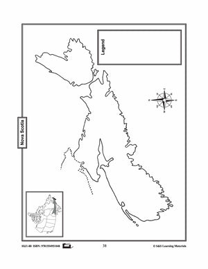
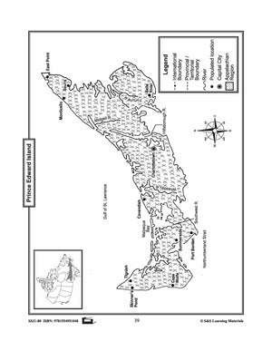
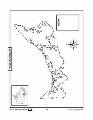
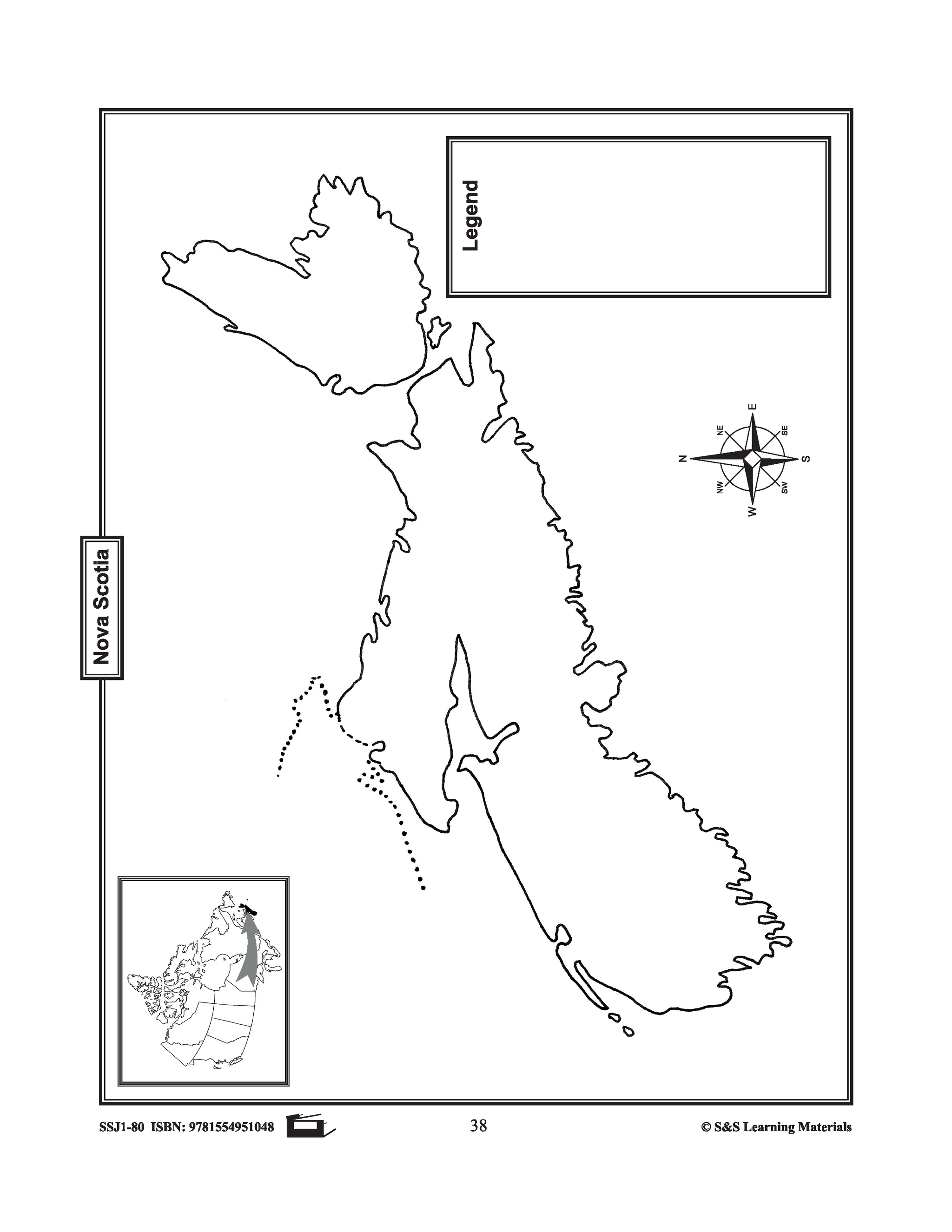
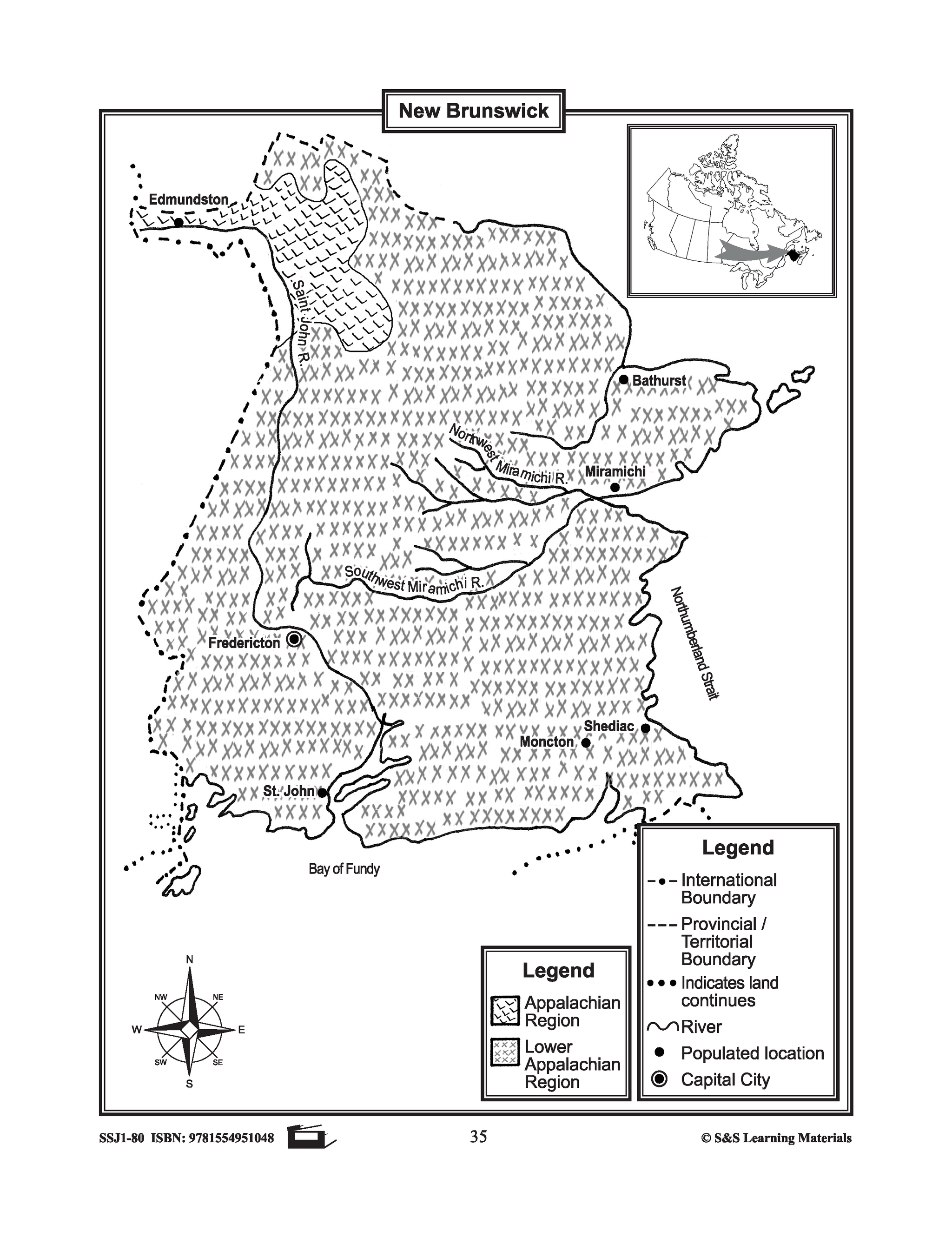
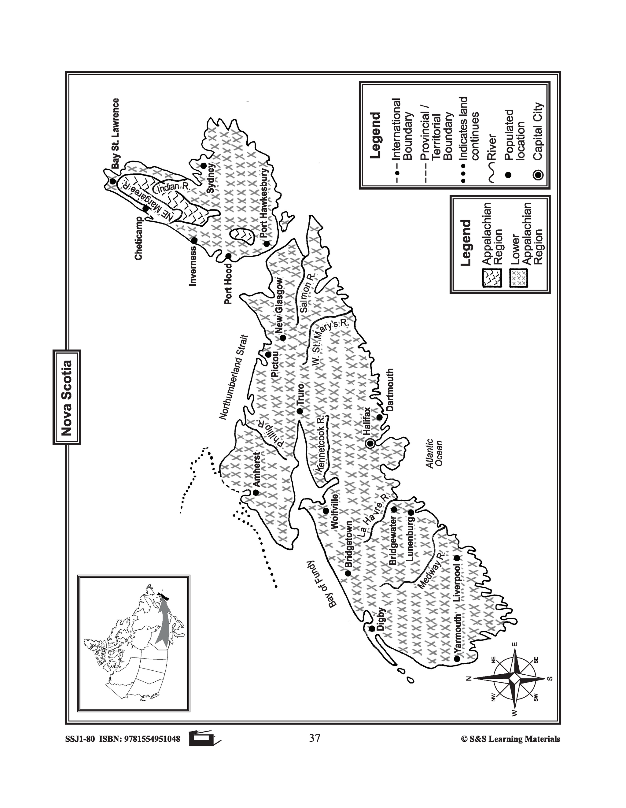
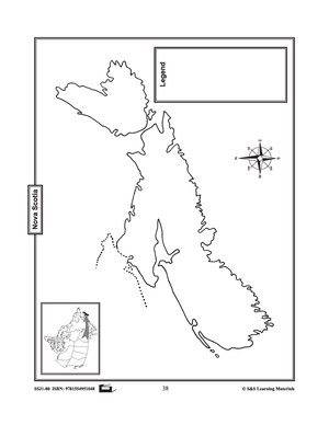
Maps of the Maritime Provinces $avings Bundle! Grades 4-8
$8.45 CAD
The maps will help students learn about the Maritime provinces and their international and provincial/territorial boundary, rivers, landforms, the capital city, and other cities. 6 pages Subscribe to our Fan List!: Our FANlist newsletter is full of tips on ways to save time...


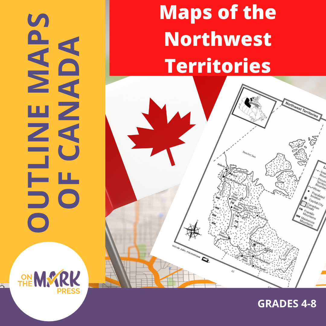

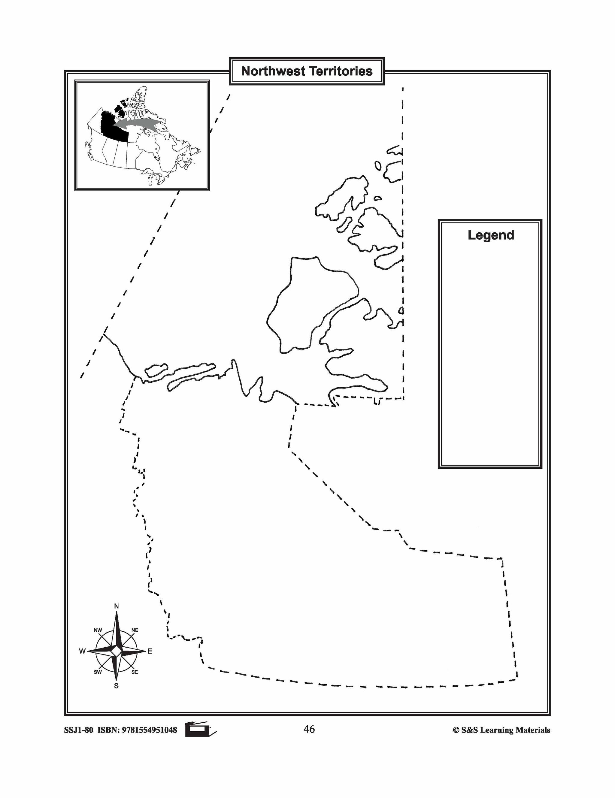
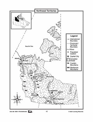
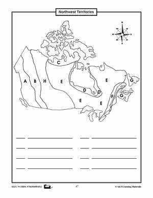
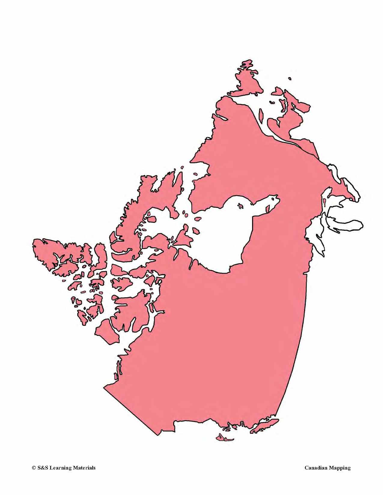
Maps of the Northwest Territories Grades 4-8
$3.45 CAD
The maps will help students learn about the Northwest Territories and its provincial/territorial boundary, rivers, landforms, the capital city, and other cities. 2 pages


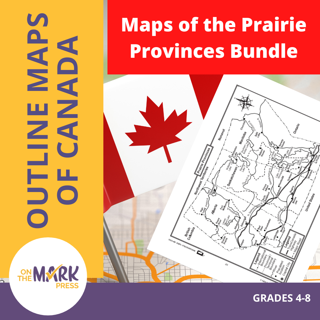


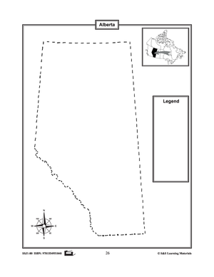

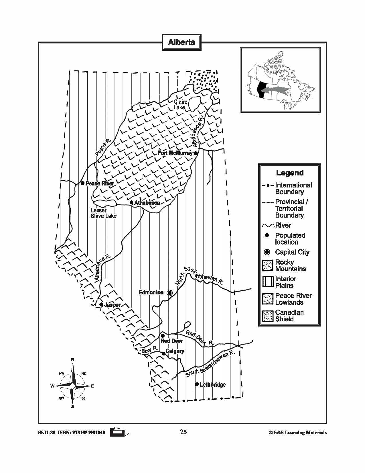
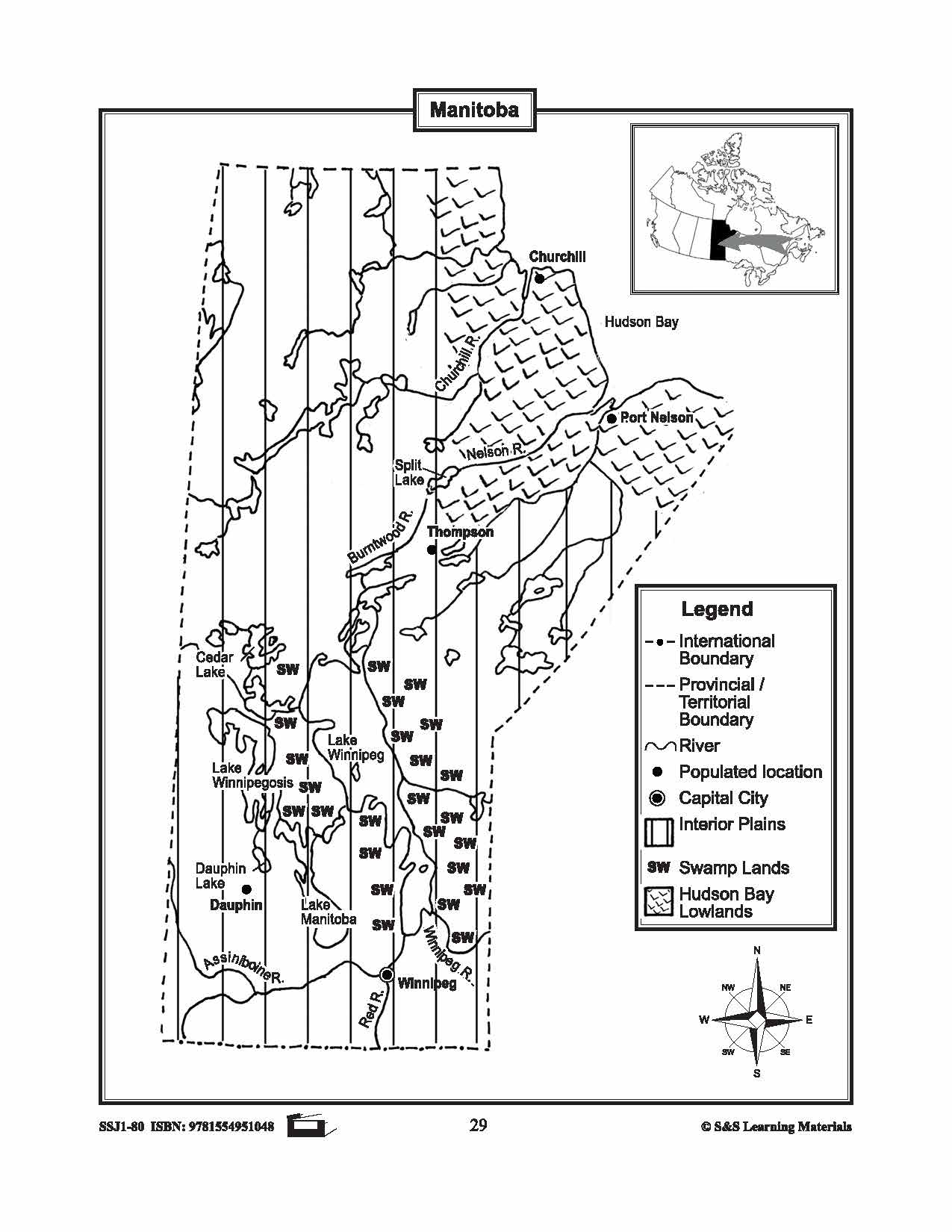
Maps of the Prairie Provinces $avings Bundle! Grades 4-8
$8.45 CAD
The maps will help students learn about the Prairie Provinces and their international and provincial/territorial boundary, rivers, landforms, the capital city, and other cities. 8 pages Subscribe to our Fan List!: Our FANlist newsletter is full of tips on ways to save time with...


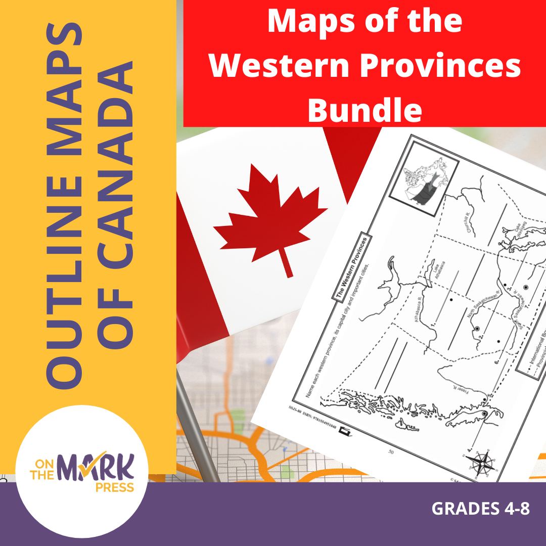


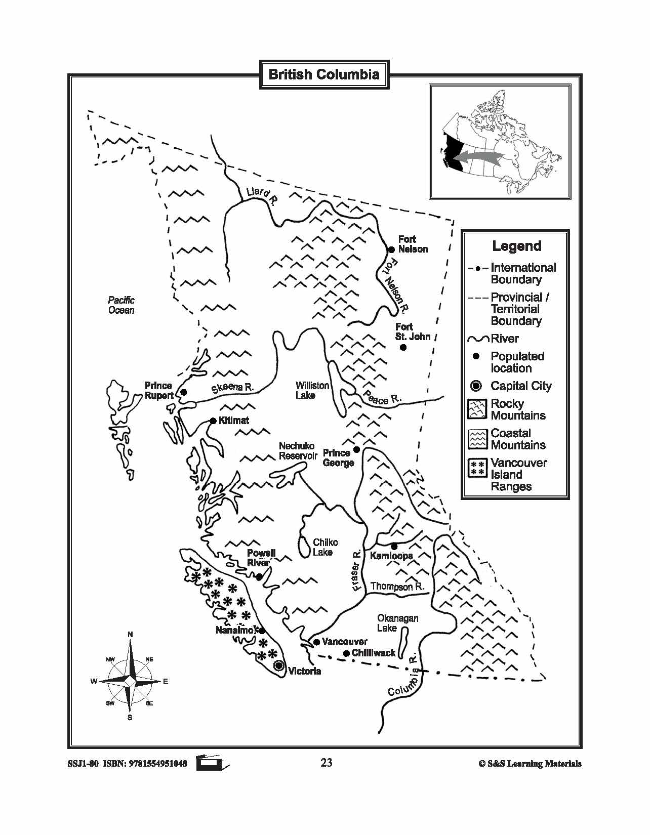


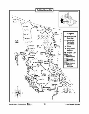


Maps of the Western Provinces $avings Bundle! Grades 4-8
$8.45 CAD
These resources will help students learn about the Western Provinces and help them to identify them on the Canadian map along with their capital cities and important cities. 8 pages Subscribe to our Fan List!: Our FANlist newsletter is full of...


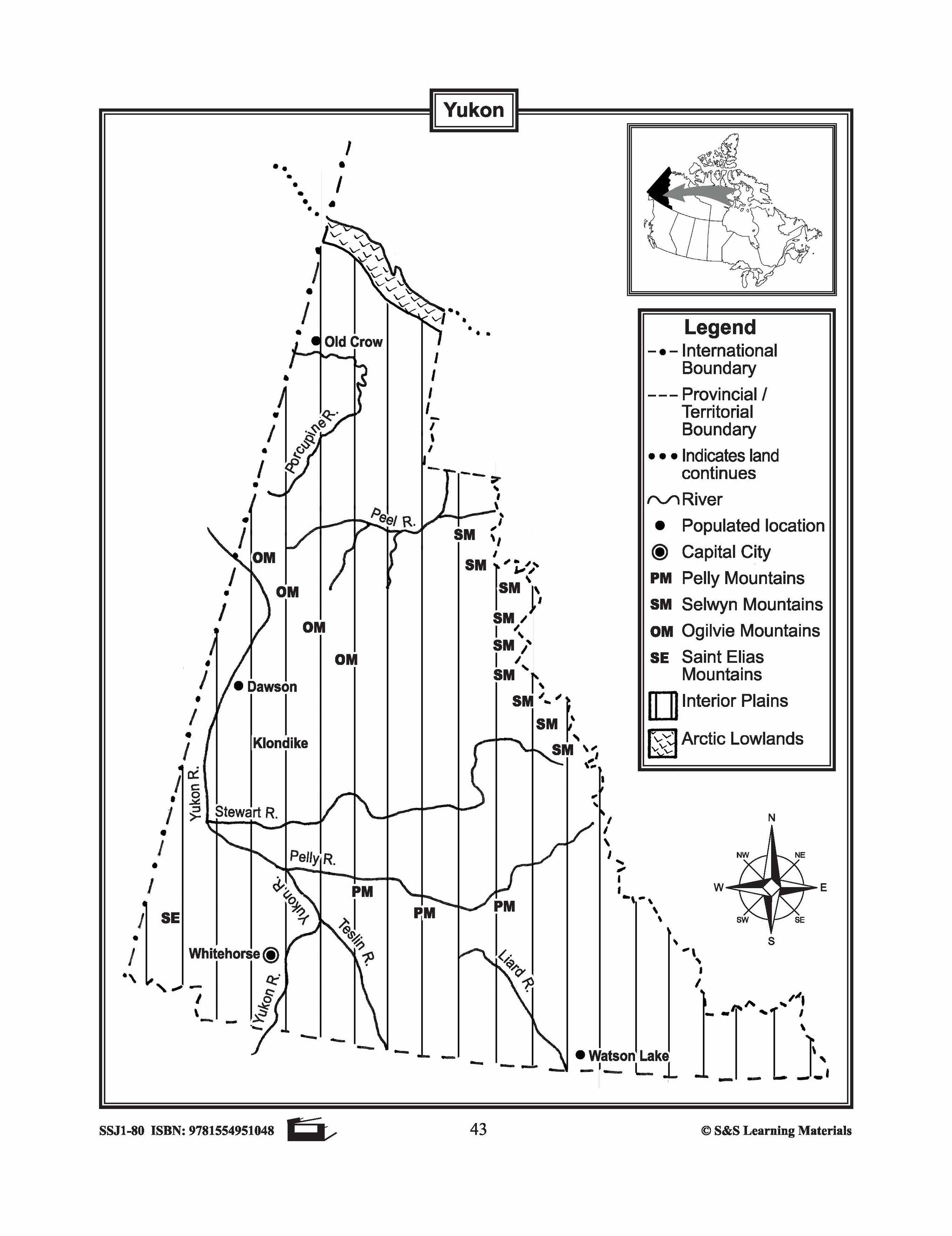
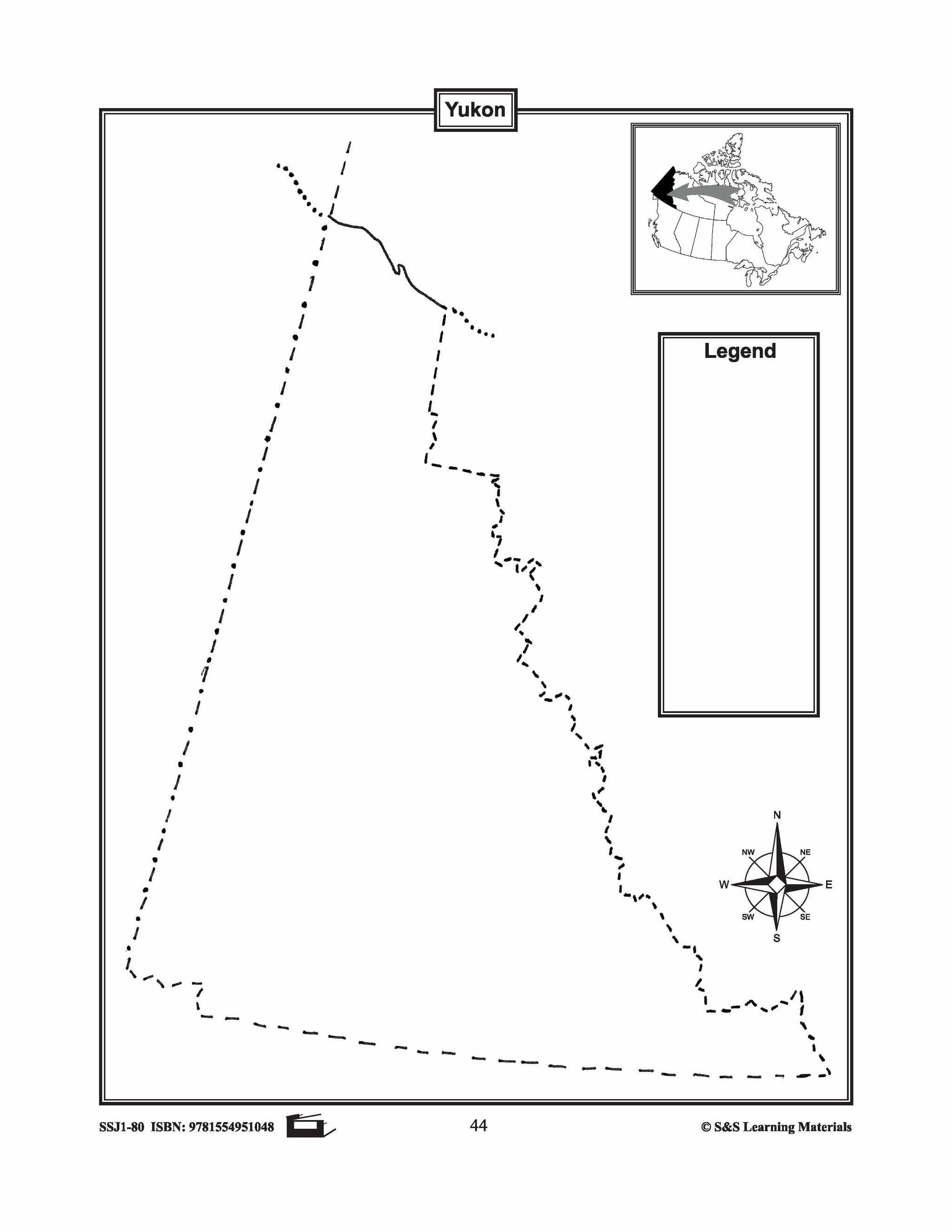
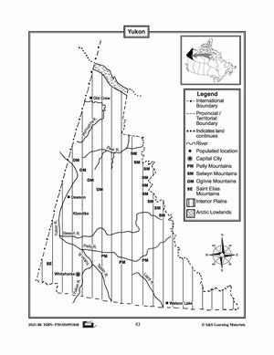
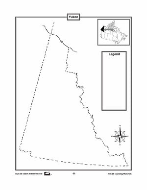
Maps of the Yukon Grades 4-8
$3.45 CAD
The maps will help students learn about the Yukon and its international and provincial/territorial boundary, rivers, landforms, the capital city, and other cities. 2 pages


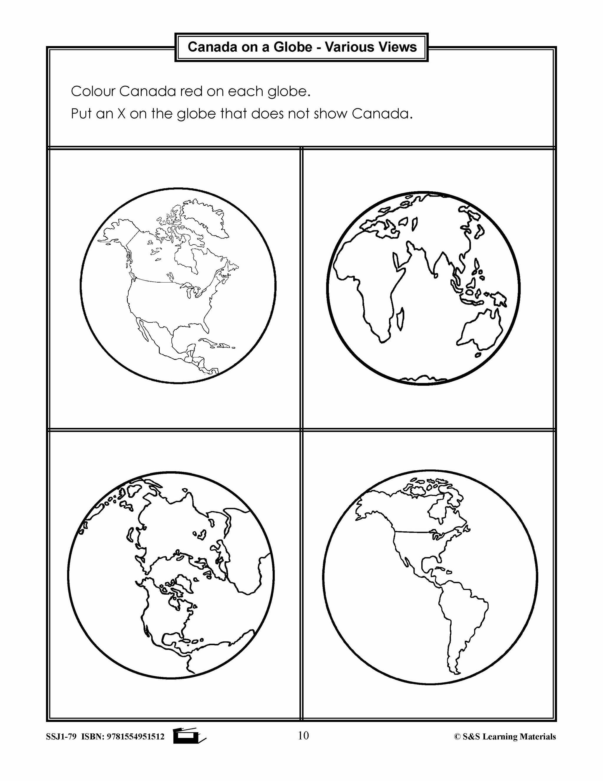


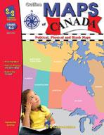

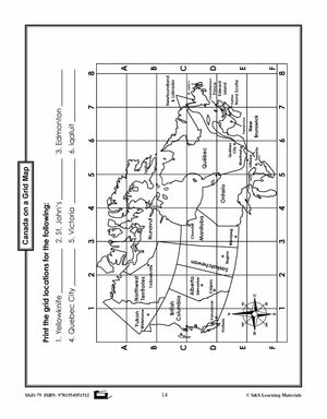
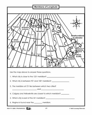
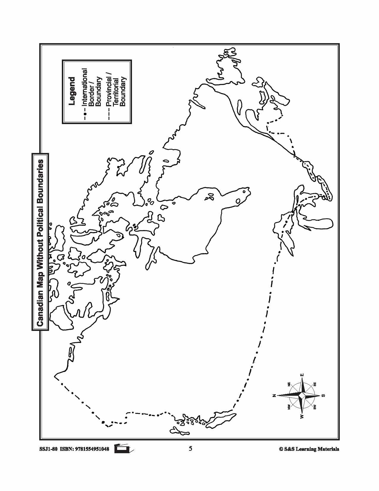
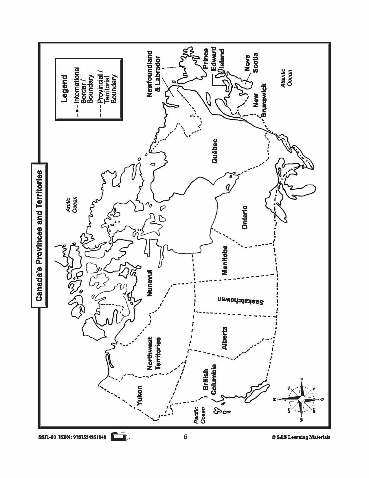
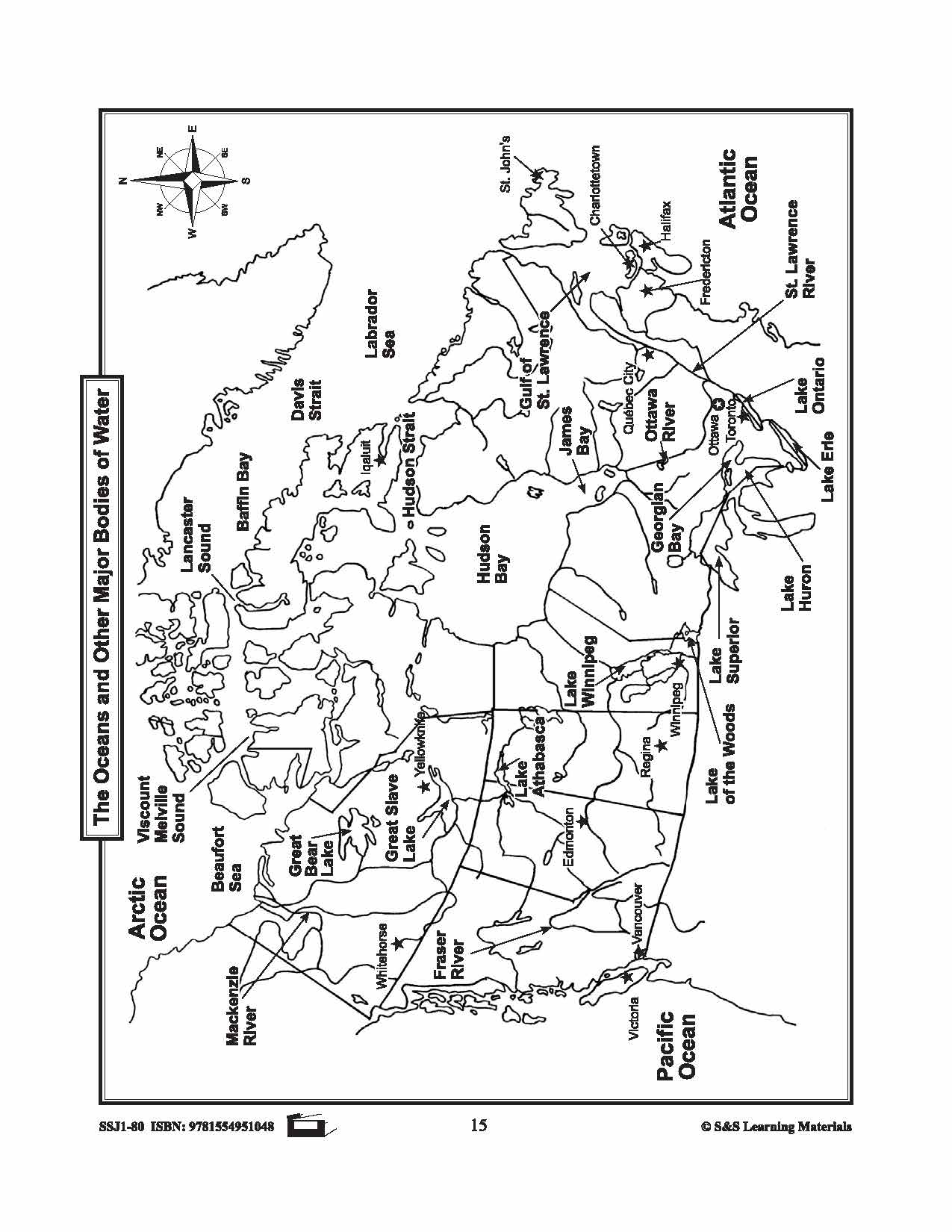
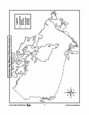
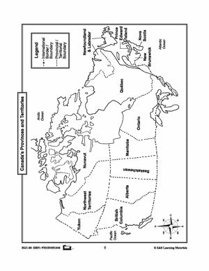
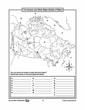
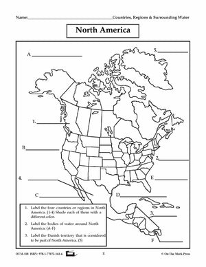
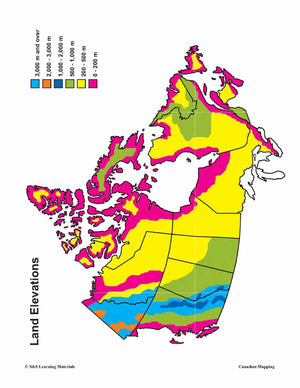
Outline Maps of Canada Grades K-3
$23.99 CAD
Outline Maps of Canada help introduce and review mapping skills and Canadian geography. Almost every map included can be used to teach or review the use of: directions on a compass rose, symbols on a legend and mapping terms such...


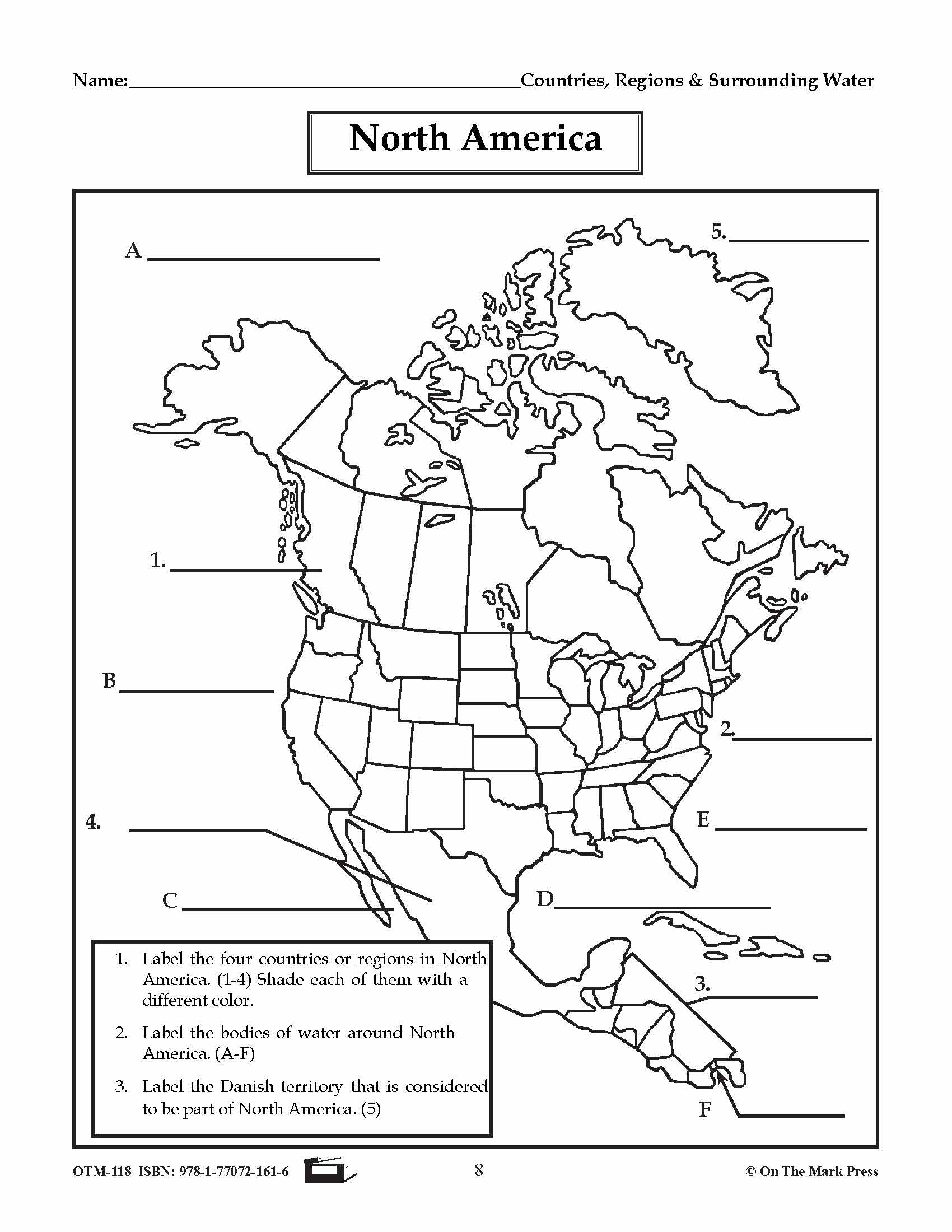

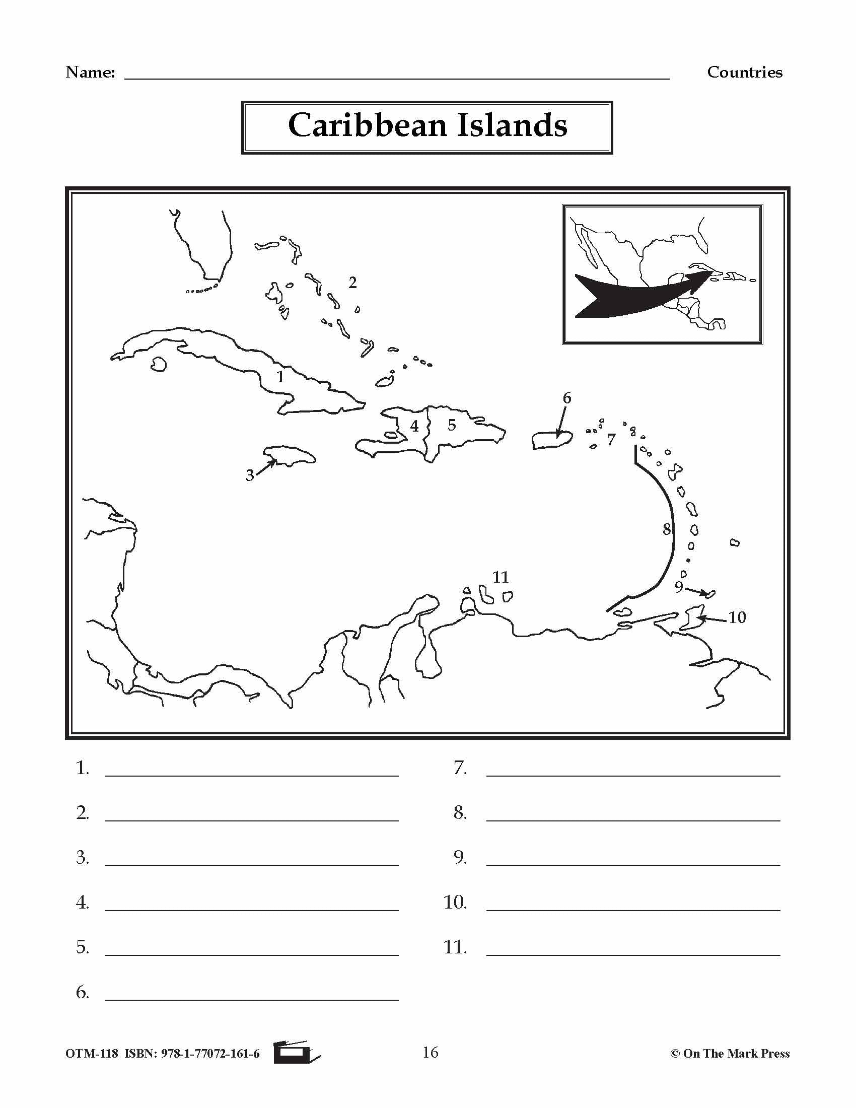
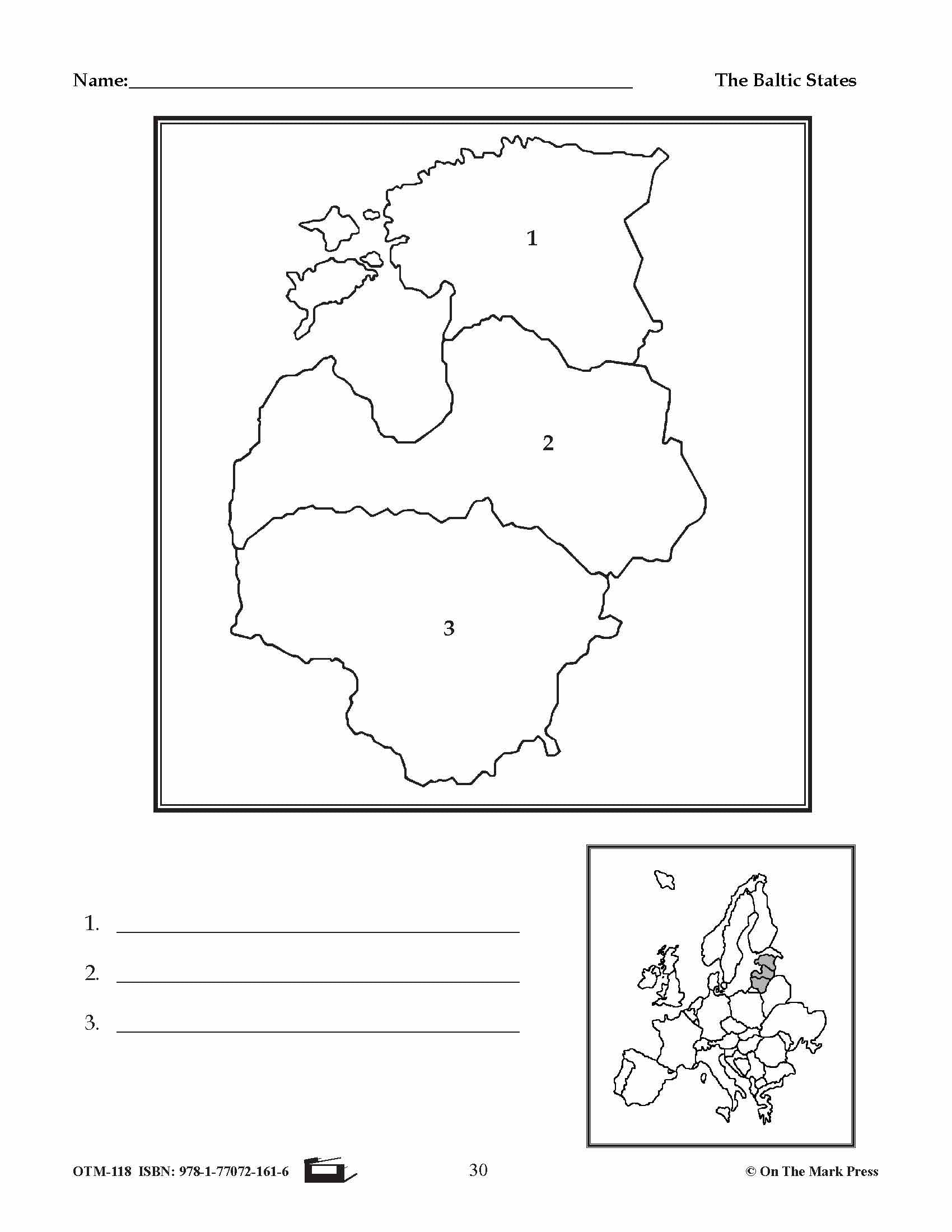
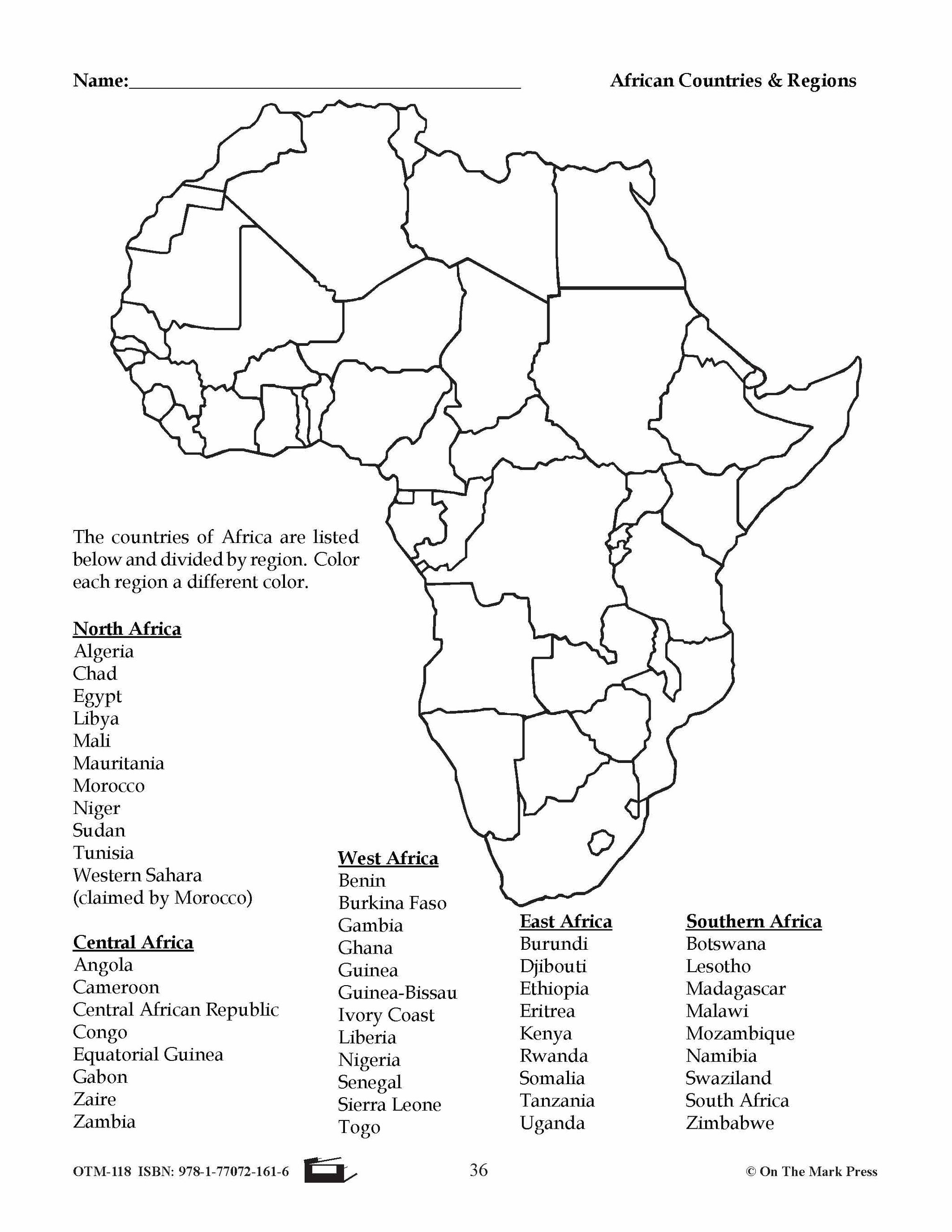
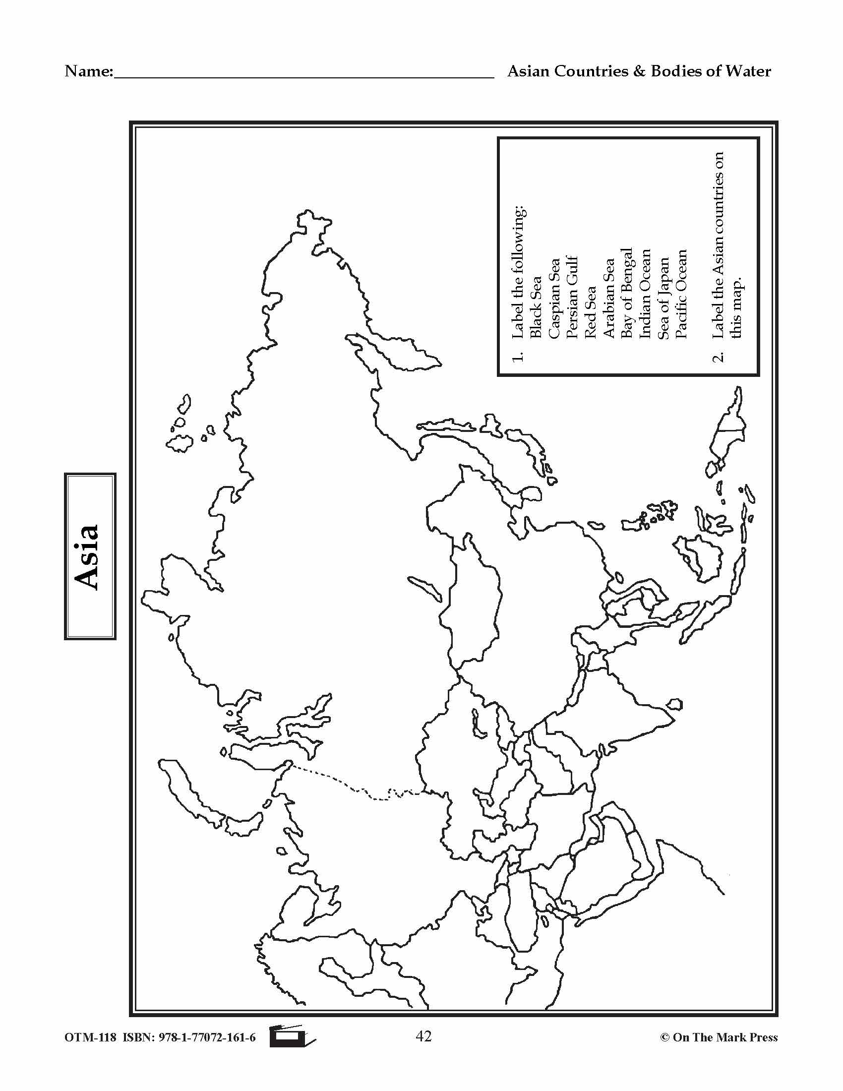
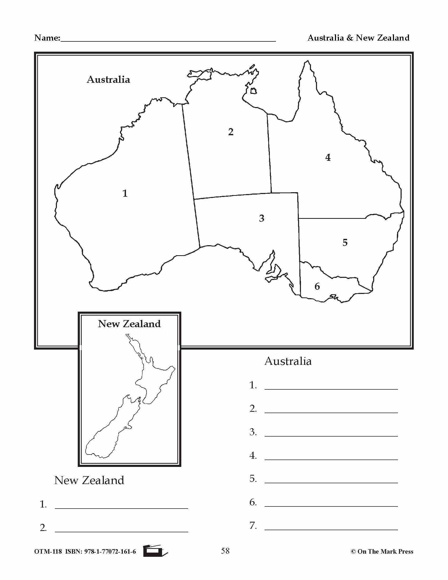

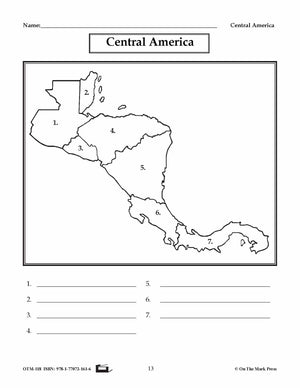
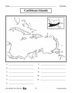
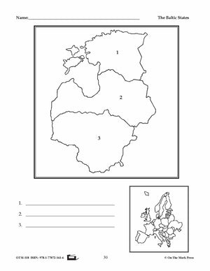
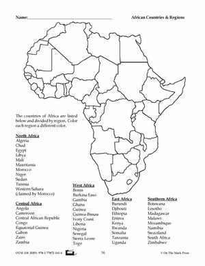


Outline Maps of the World Grades 1-8
$23.99 CAD
Over 50 Reproducible Maps! This resource contains up-to-date maps of countries and regions of the world. It is designed to supplement geography studies. Includes illustrations of world continents, countries, and bodies of water. 64 pages including an answer key. Maps...
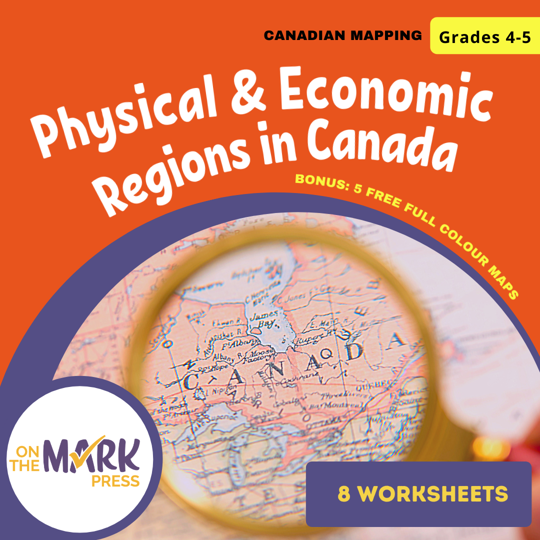


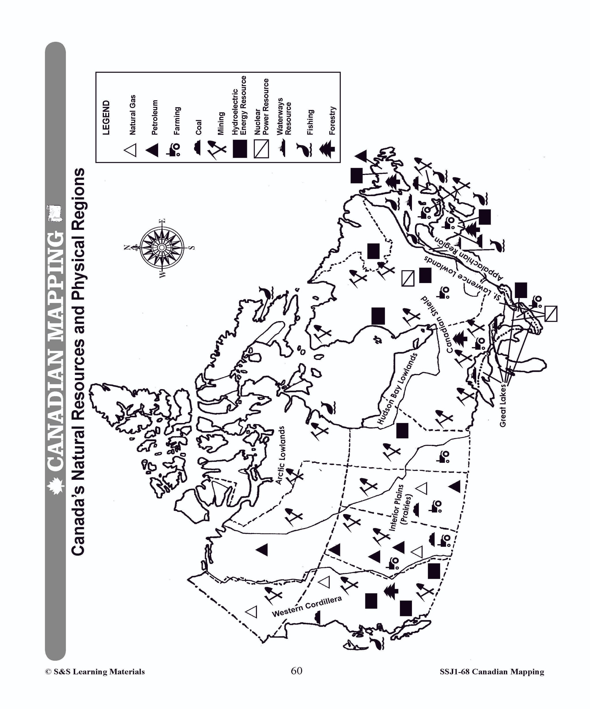
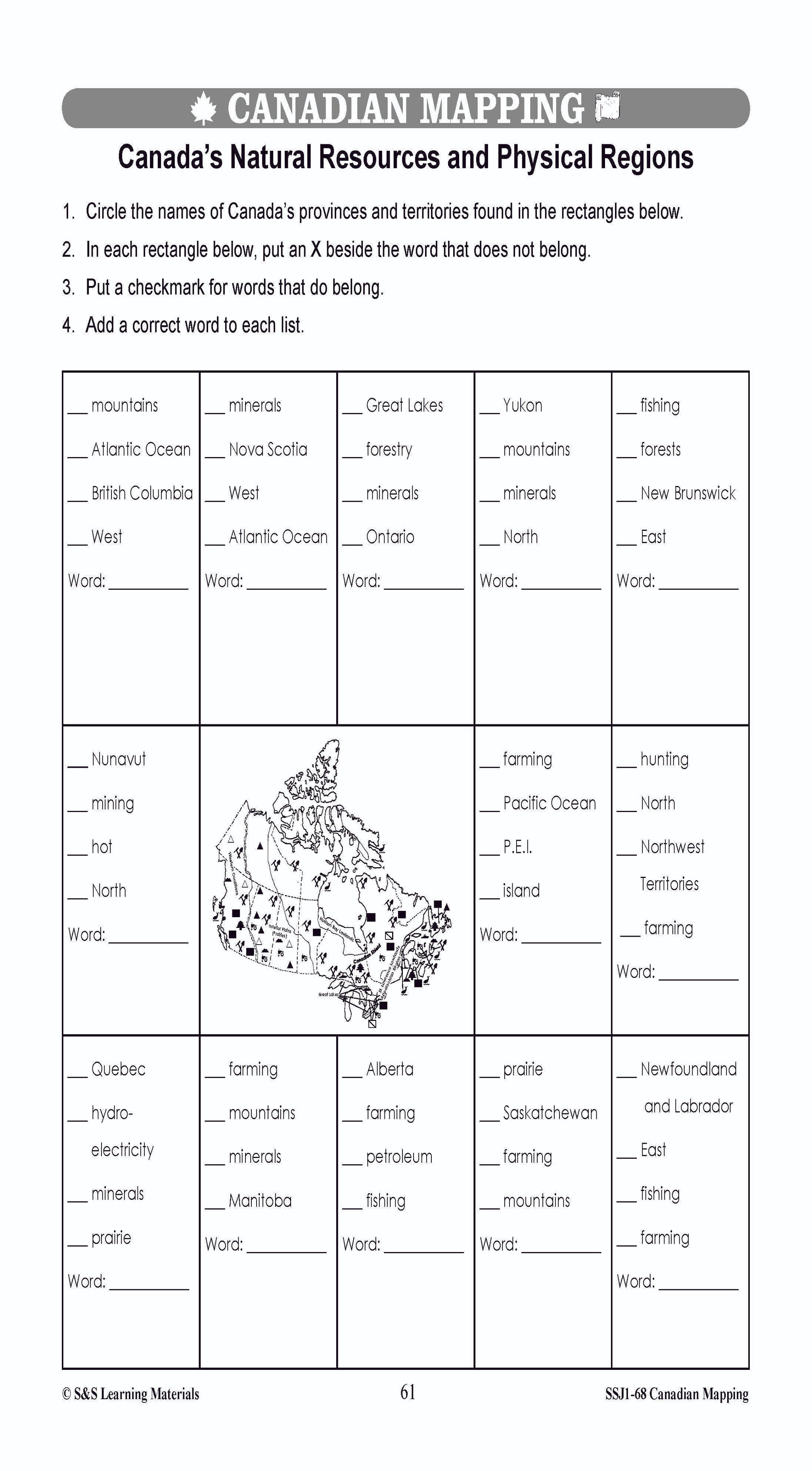
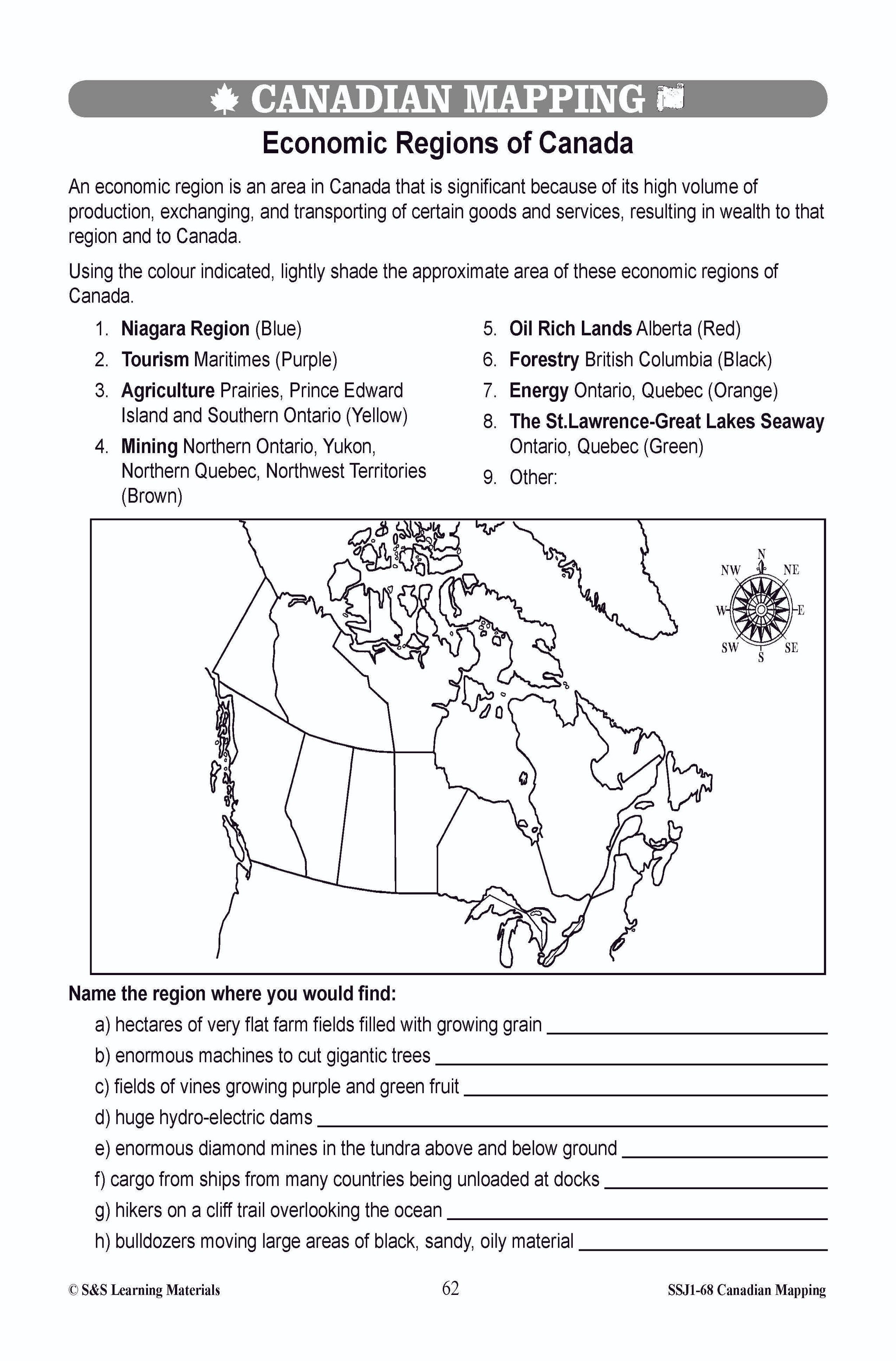
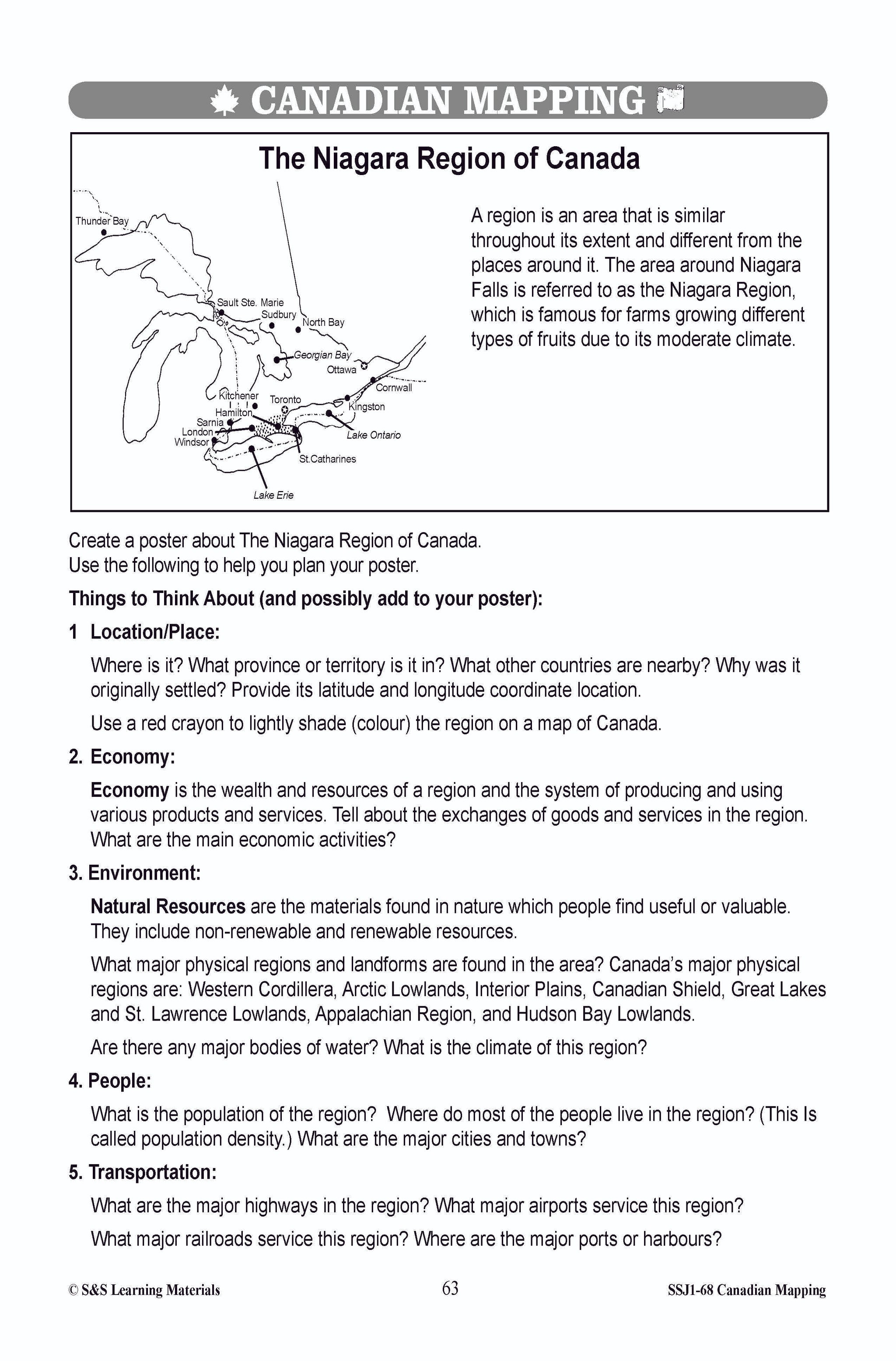
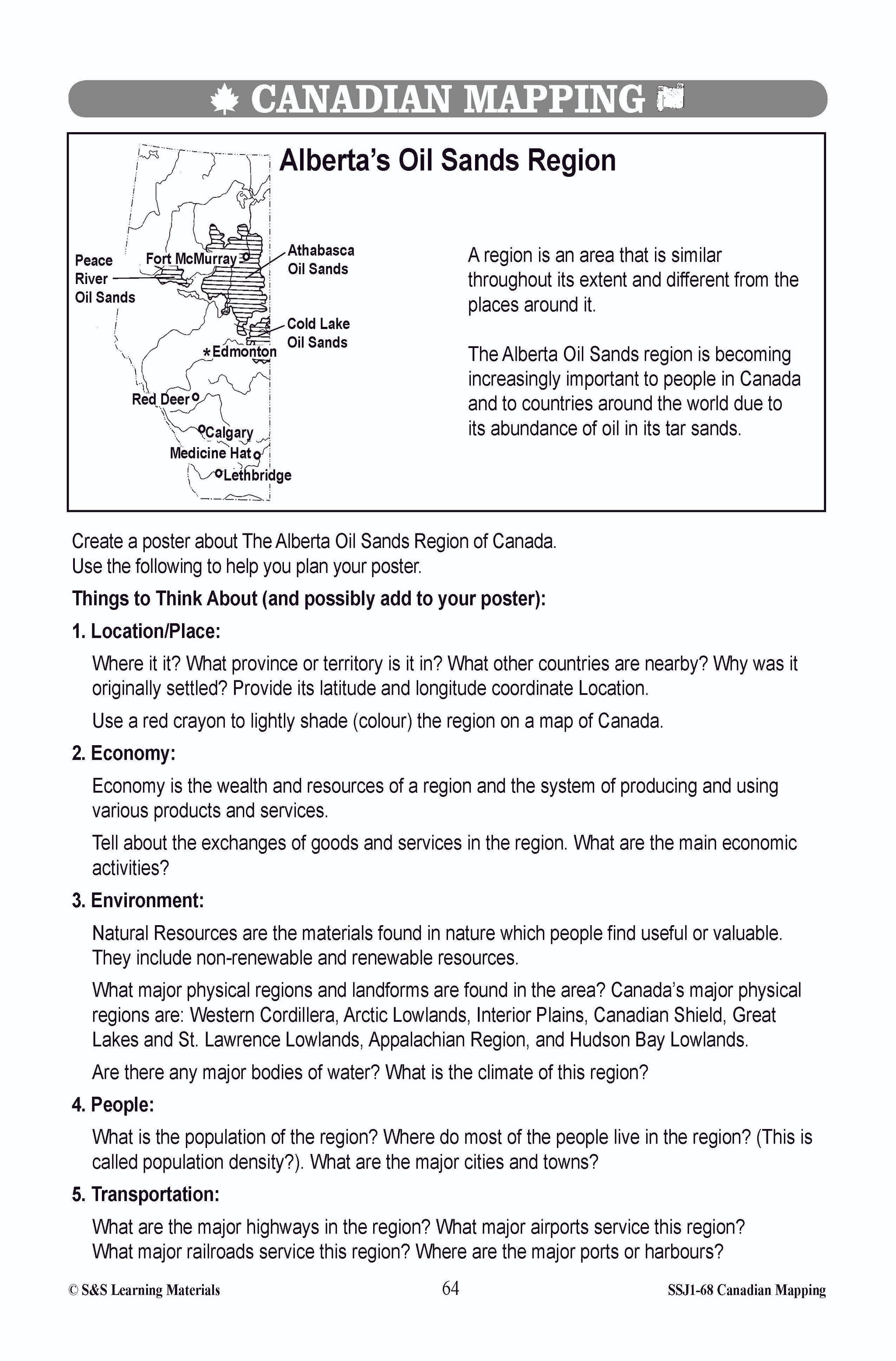
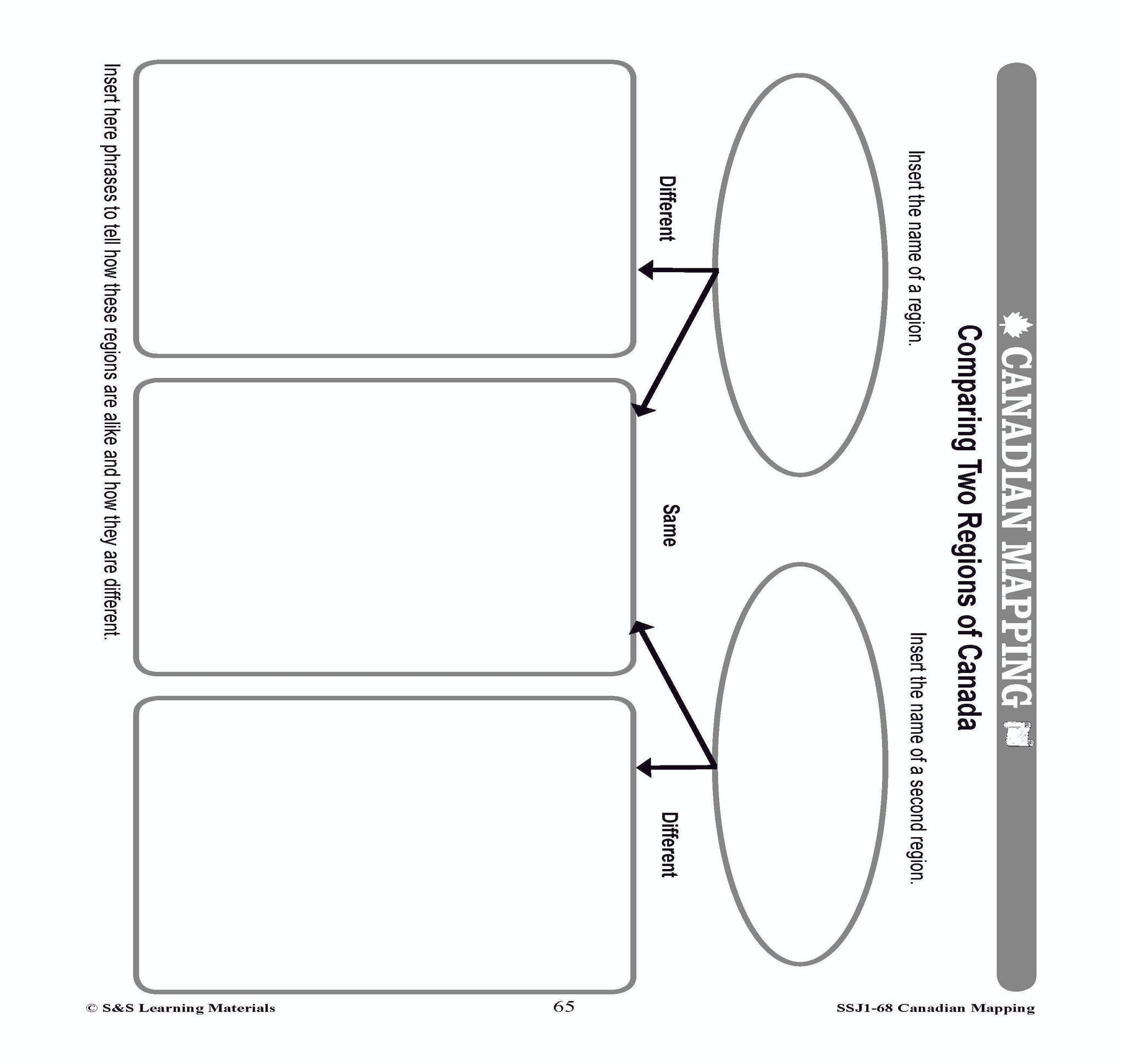
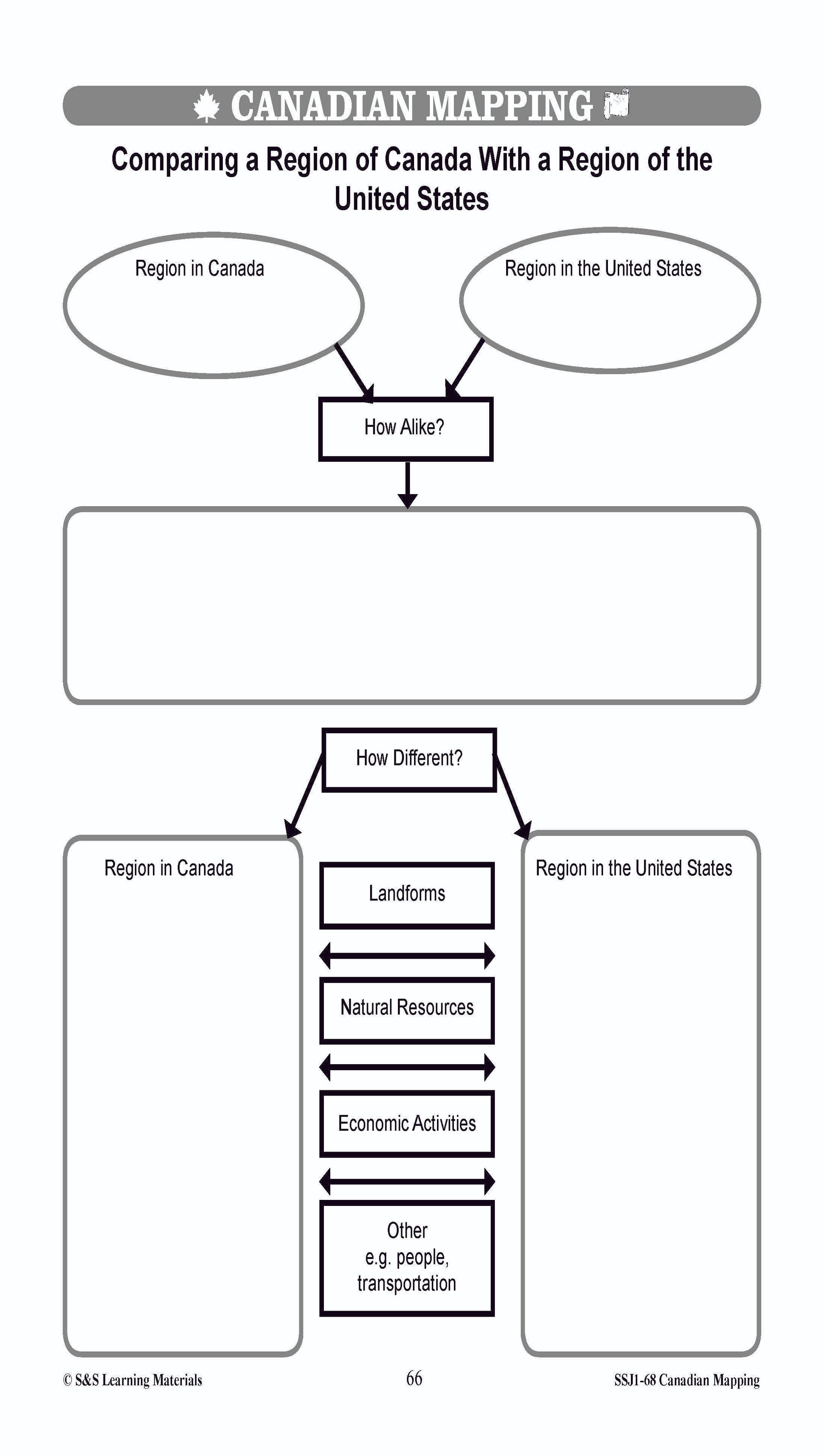


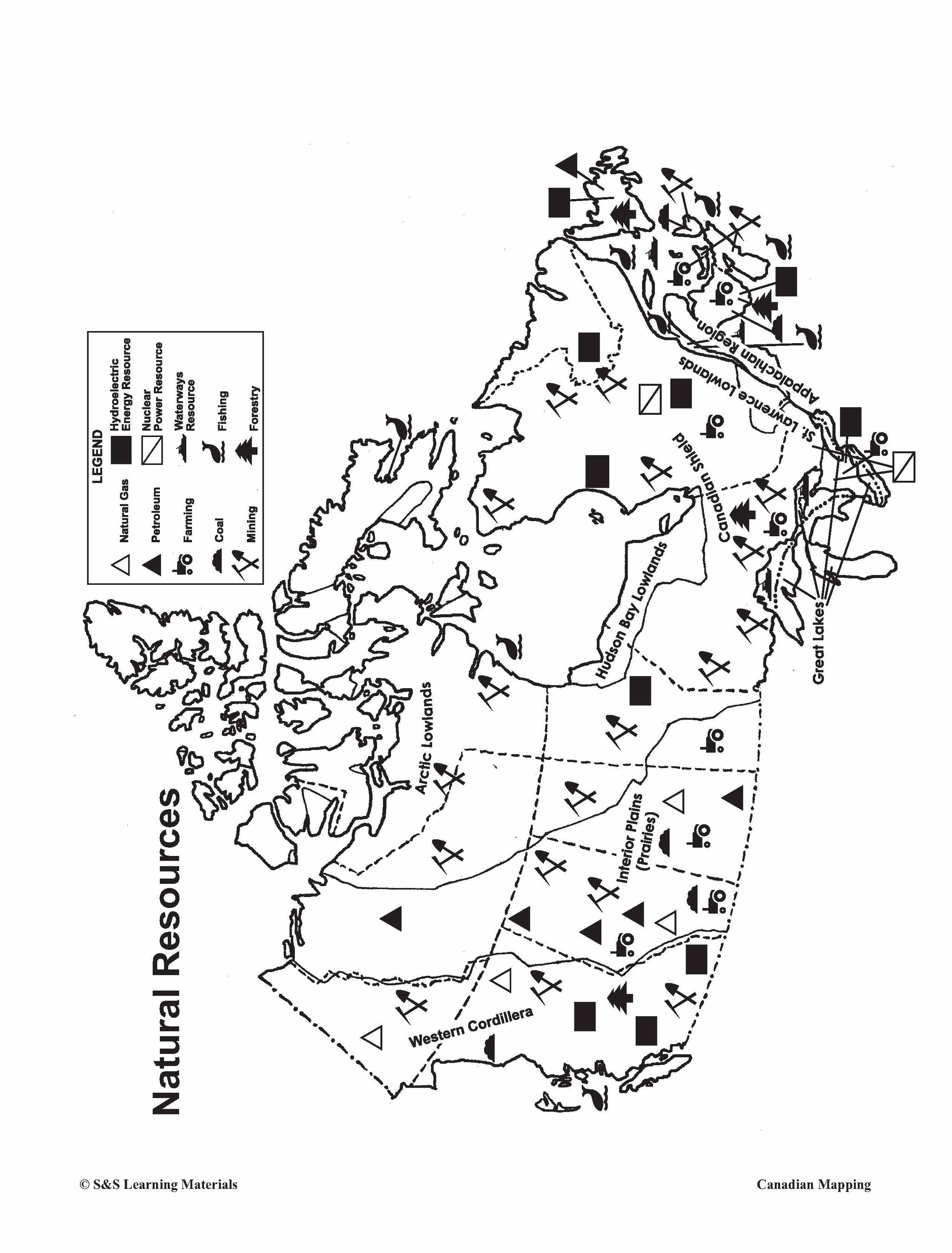

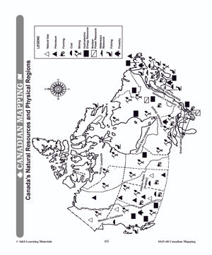
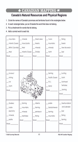
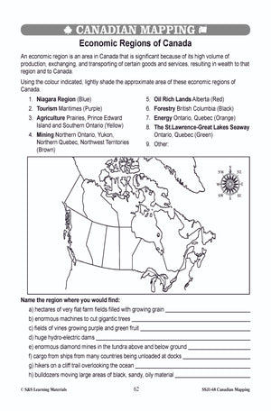
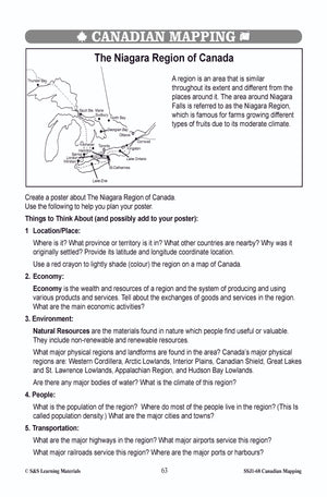
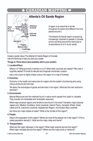
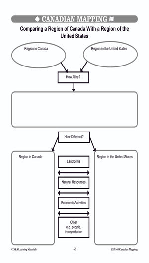

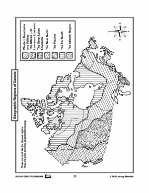
Physical & Economic Regions in Canada Worksheets Grades 4-5
$7.45 CAD
Students will learn about the physical and economic regions in Canada with the eight mapping worksheets. Teacher information on these topics: what a map is, types of maps, how to read a map, map indexes, scale, and geographic grids, hemispheres,...
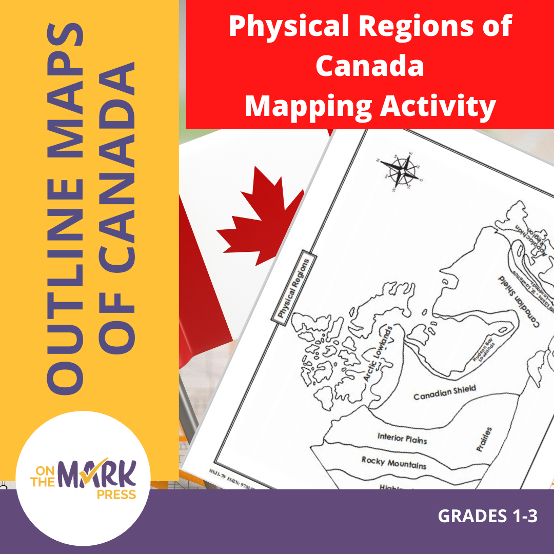


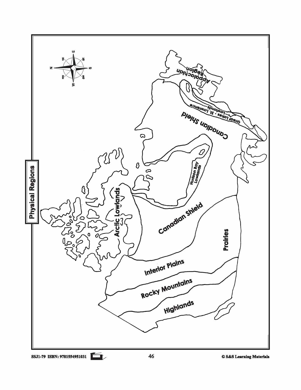
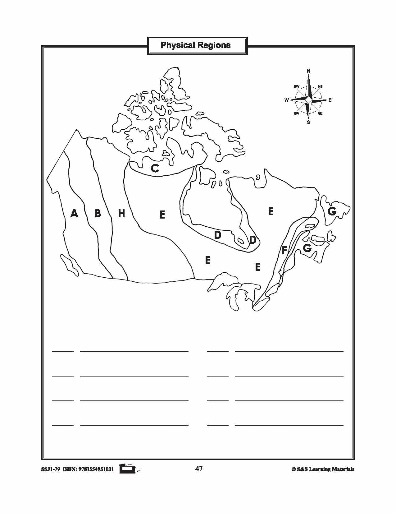

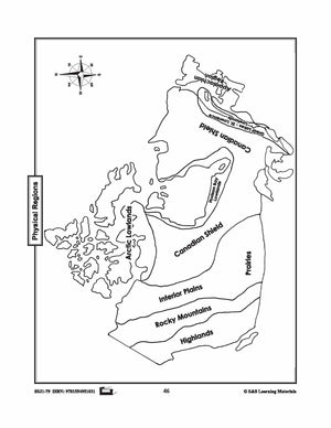

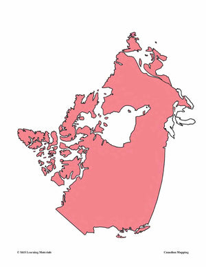
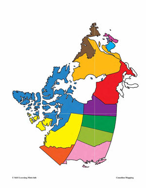
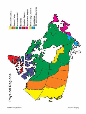
Physical Regions of Canada Mapping Activity Grades 1-3
$2.95 CAD
Students will label the physical regions of Canada. 3 pages.
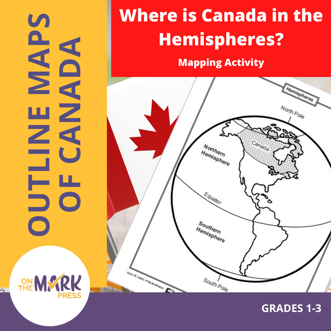


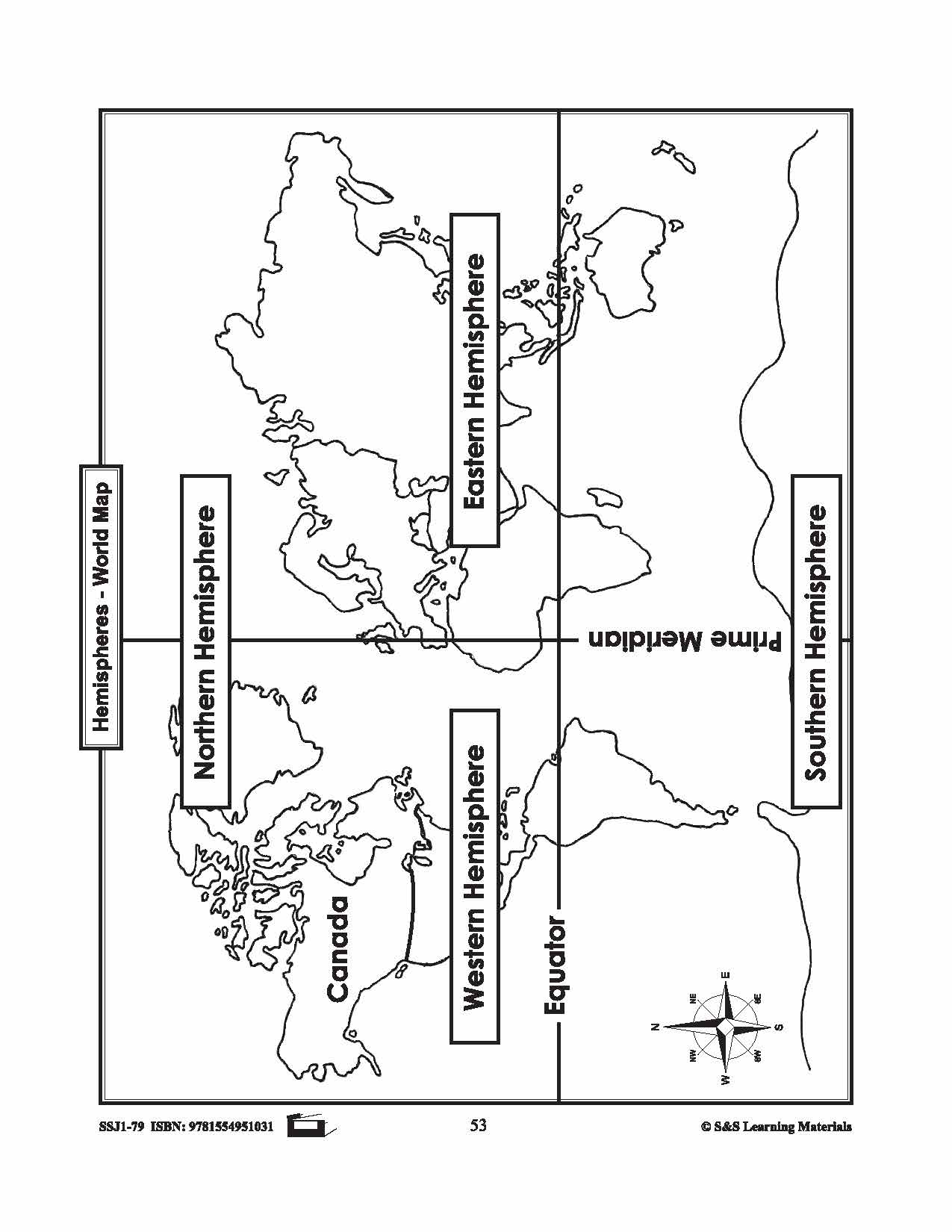


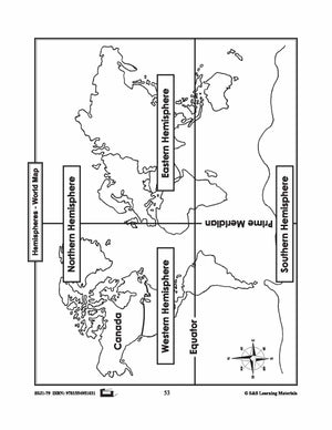
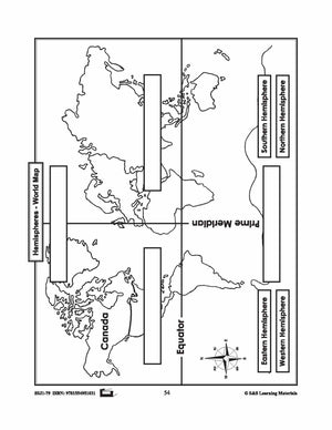
Where is Canada in the Hemispheres? Mapping Activity Gr. 1-3
$3.95 CAD
Two maps showing Canada in the hemisphere and one worksheet for students to complete.